The 7 Most Amazing Peaks around Nalbach
Best mountain peaks around Nalbach are characterized by rolling hills and picturesque forests, offering significant natural beauty and recreational opportunities. The region's most prominent elevation is the Litermont, which reaches over 414 meters above sea level. This area provides a rich blend of challenging hikes, unique natural phenomena, and historical intrigue for nature enthusiasts. It is a rewarding destination for exploring the Saarland's diverse landscape.
Best mountain peaks around Nalbach
- The most popular mountain peaks is Litermont Summit Cross,…
Last updated: September 30, 2026
Litermont Summit Cross
Highlight • Summit
Translated by Google •
Tip by

Josef Chapel at Hirteler Cross
Highlight • Religious Site
Translated by Google •
Tip by

Sign up now to discover places like this
Get recommendations on the best single tracks, peaks, & plenty of other exciting outdoor places.
Highest Point of Bilsdorf
Highlight • Summit
Translated by Google •
Tip by

Hoesberg 330 meters
Highlight • Viewpoint
Translated by Google •
Tip by

Rocky ascent to the Litermont summit
Highlight (Segment) • Climb
Translated by Google •
Tip by

Sign up for free to discover even more peaks around Nalbach.
Already have an account?
Start today with a free account
Your next adventure awaits.
Popular around Nalbach
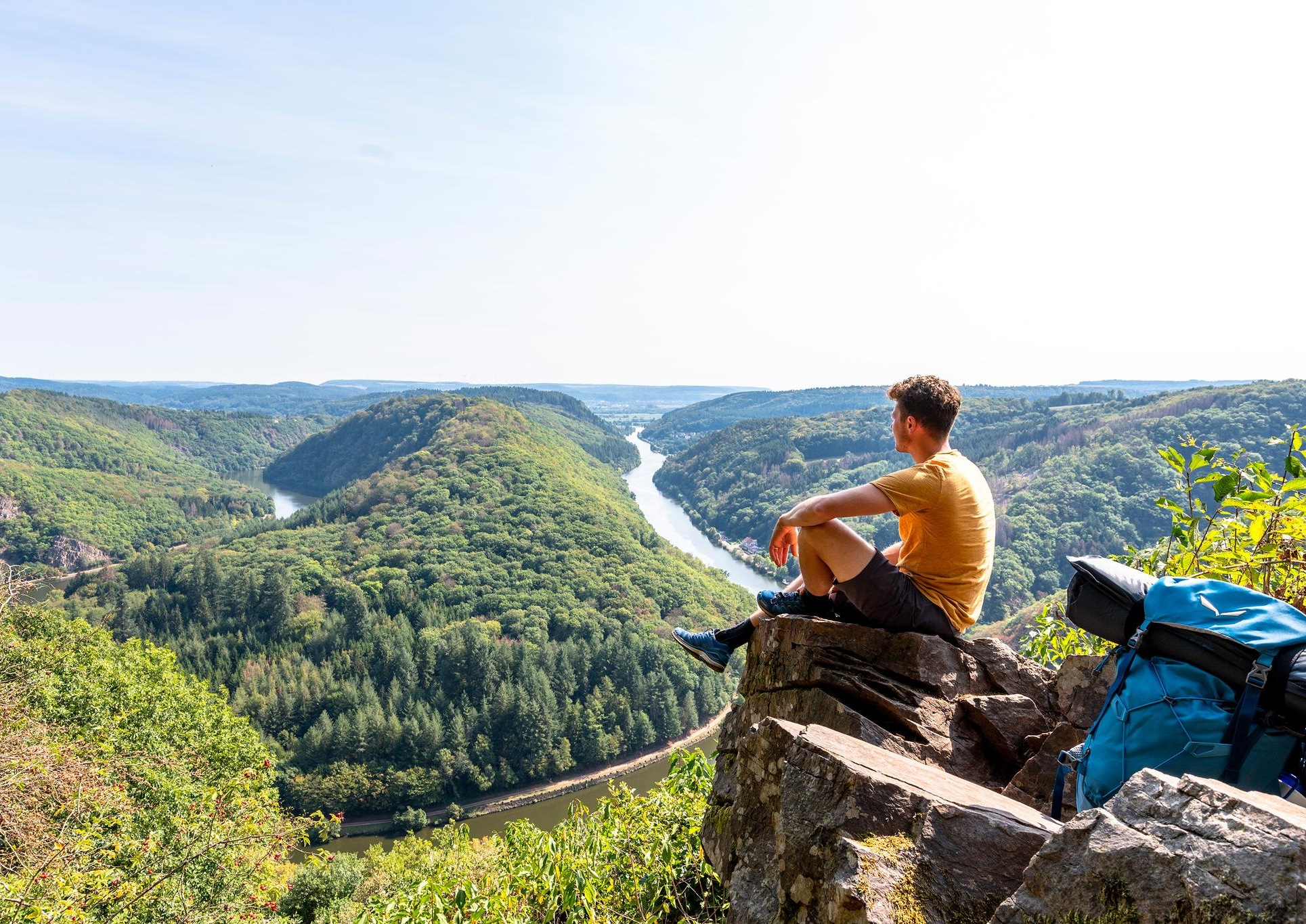
So close, so diverse – the most beautiful hikes in Saarland
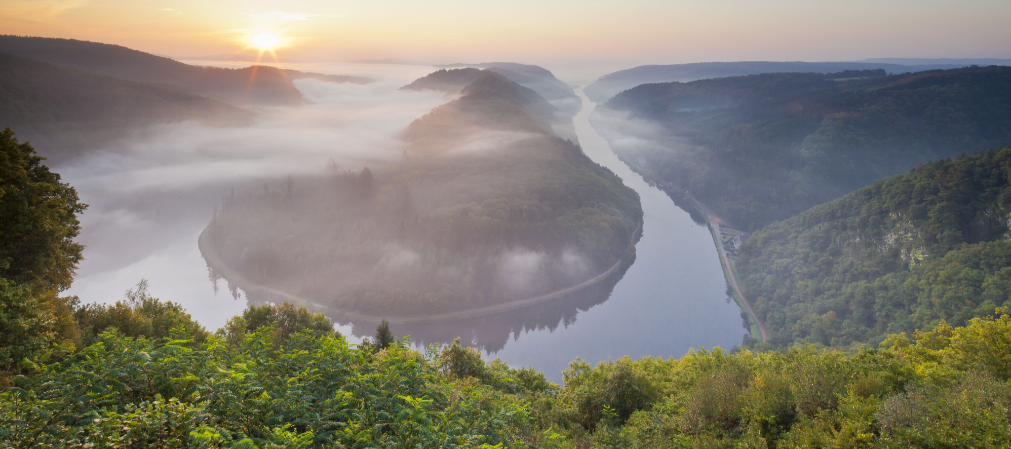
Between the Saarschleife and the Blies – the most beautiful hikes in Saarland
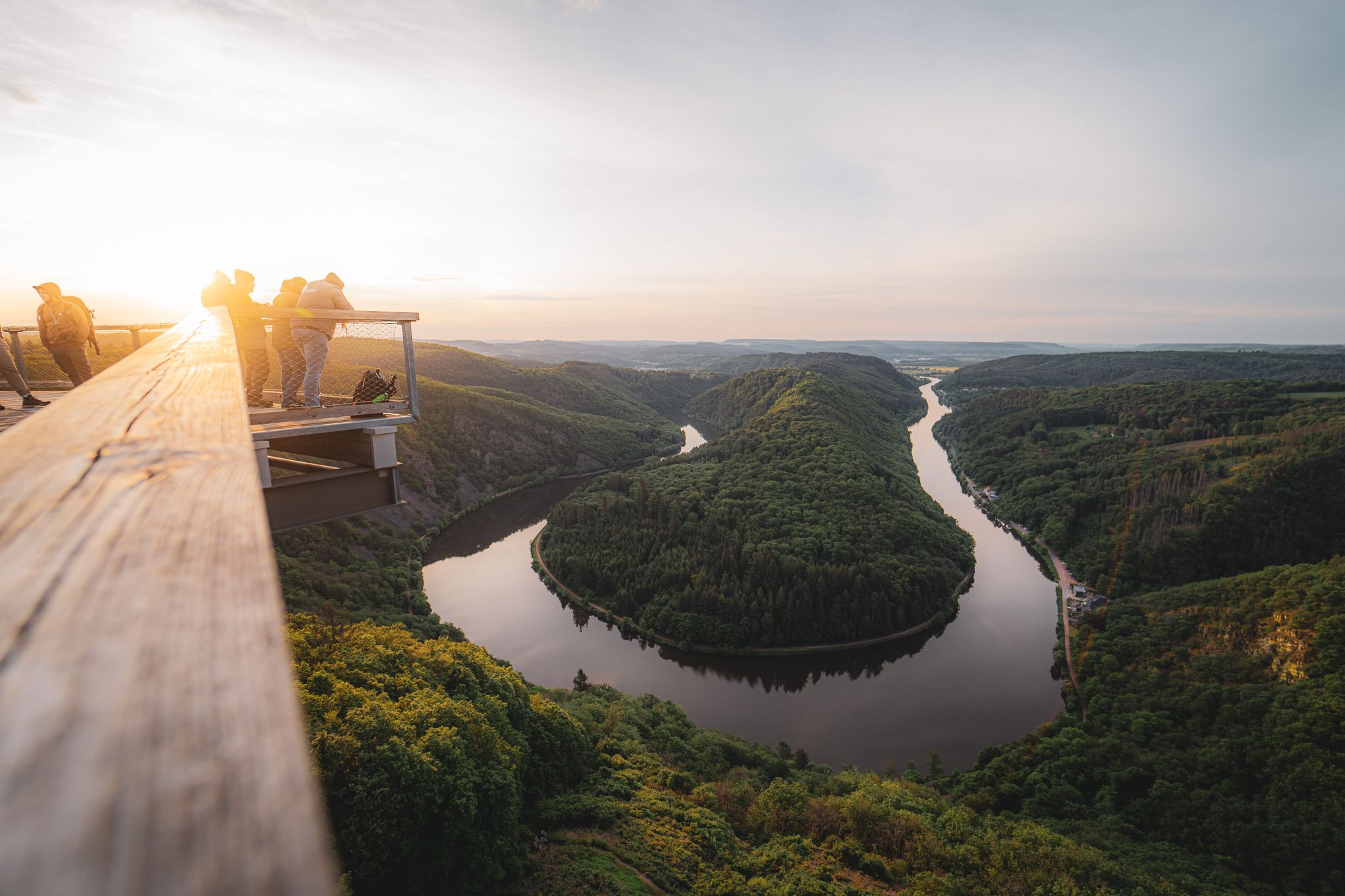
Saarland – primeval forests, river bends and secret night camps

Satisfy your Wanderlust – premium hiking trails in Saarland

Countless trails, nature & history – hiking in Saarland
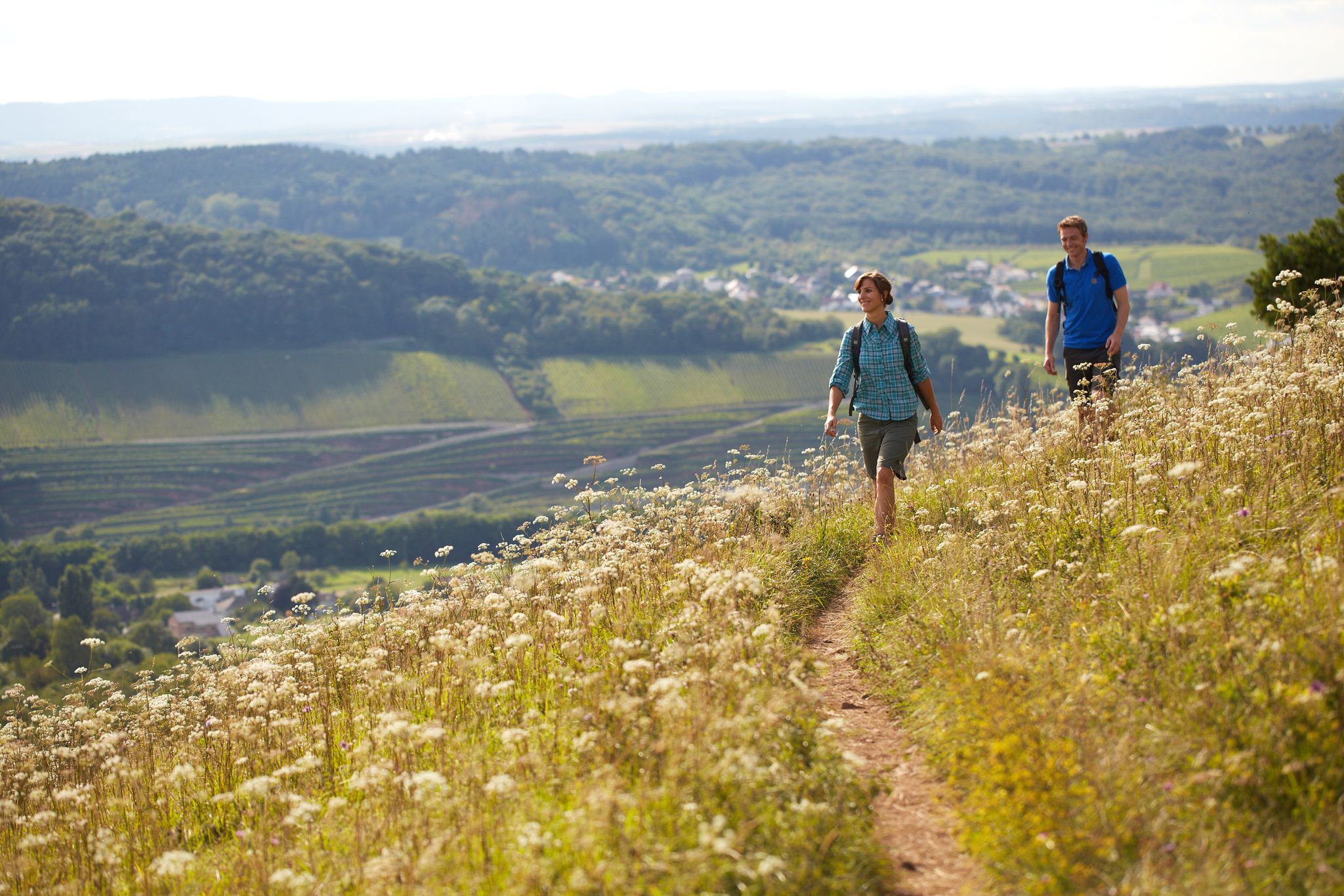
The ten most beautiful hiking trails through Saarland in Germany
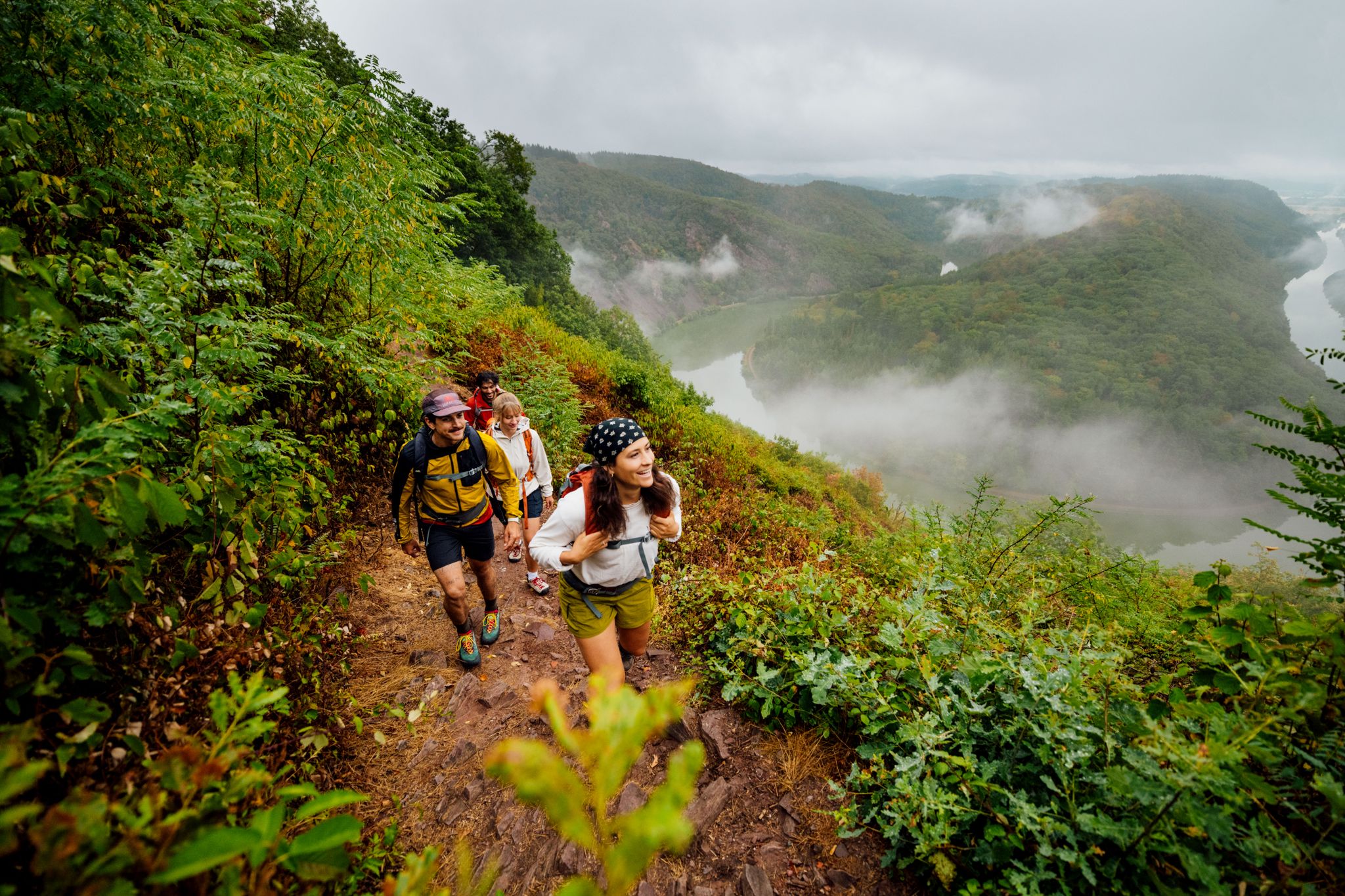
Ganz viel Abwechslung: Die 5 schönsten Wanderungen im Saarland
Hiking around Nalbach
Cycling around Nalbach
MTB Trails around Nalbach
Other adventures around Nalbach


Tips from the Community

The rocky path is a bit challenging (but very doable with good footwear) but fantastically beautiful.
0
0

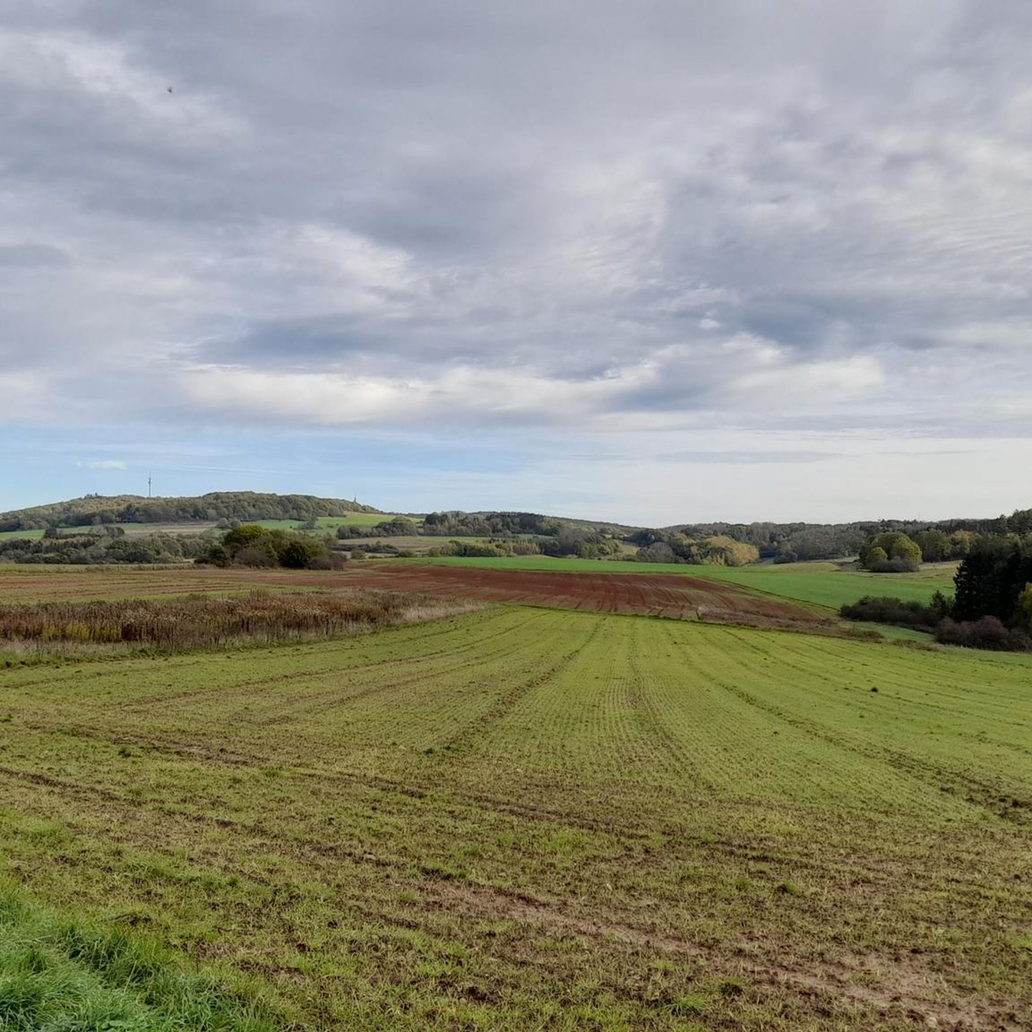
This is the highest point of Hirtel.
0
1

The climb is well worth it and the path is very beautiful.
0
0

Alpine moments in the area of the Litermont summit
0
0

This section requires not only a good level of fitness but also surefootedness and a head for heights.
0
0

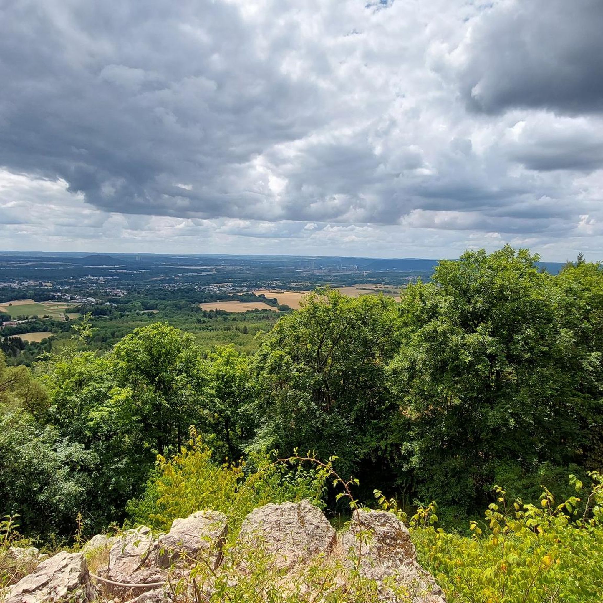
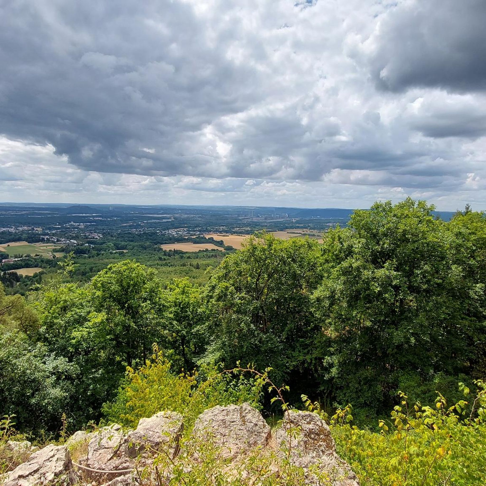
View of Dillinger Hüttenwerke
0
0

Open your eyes. There is a sign, the highest point is a little off the path
0
0

View towards Rehlingen and Dillingen. A relaxation bench with a view of the Dillinger Hütte
0
0
Frequently Asked Questions
What are the most notable elevations or "peaks" in the Nalbach area?
The most prominent elevation in the Nalbach area is the Litermont, reaching over 414 meters above sea level. While not towering mountains, the region features rolling hills and picturesque forests. Other significant points include the Josef Chapel at Hirteler Cross, offering panoramic views, and the Highest Point of Bilsdorf, marked by a basalt block.
What kind of hiking trails can I find around Nalbach's peaks?
The area offers a diverse range of hiking trails, from wild and romantic paths with steep, rope-secured passages on the Litermont to more moderate forest routes. The most famous is the award-winning Litermont-Gipfel-Tour, known for its challenging yet rewarding experience. You can find trails suitable for various fitness levels, including those that pass by historical landmarks and unique natural features.
Is the Litermont-Gipfel-Tour suitable for all hikers?
The Litermont-Gipfel-Tour is considered challenging and requires good fitness and sturdy footwear. It features diverse terrain, including rocky sections, dense forests, and some steep, rope-secured passages. While adventurous, it might not be suitable for very young children or those seeking an easy stroll. For a detailed route, you can explore the Litermont Summit Tour Dream Loop.
Are there family-friendly hiking options near Nalbach's peaks?
Yes, while some trails are challenging, there are family-friendly options. The Josef Chapel at Hirteler Cross is located on a popular hiking trail that invites visitors to linger on outdoor benches and enjoy the views. Shorter, easier sections of trails or specific routes like the 'Forest Adventure Trail at Litermont' (part of the Hiking around Nalbach guide) might be more suitable for families.
What unique natural features can I discover on the trails around Nalbach?
The trails around Nalbach offer several unique natural features. You can explore the Froschparadies (Frog Paradise), a wetland biotope rich in biodiversity, and geological formations like the 'Mondsteine' (Moon Stones) and dramatic gorges such as the 'Teufelsschlucht' (Devil's Gorge). The Litermont itself is of volcanic origin, primarily composed of 275-million-year-old rhyolite rock, with a geological educational path providing insights.
Are there historical or cultural sites to see on the mountain peaks around Nalbach?
Yes, the area is rich in history and culture. On the Litermont, you'll find the Litermont Summit Cross, erected in 1852 in honor of Margarete vom Litermont, which serves as a significant landmark. The region also has local legends, such as tales of Ritter Maldix, and remnants of historical activities like former copper mining operations.
Where can I find the best panoramic views in the Nalbach area?
For spectacular panoramic views, the summit of the Litermont is highly recommended, offering expansive vistas over large parts of the Saarland and as far as France. The Josef Chapel at Hirteler Cross also provides a nice all-round view, including the Holzer Höhe and the Püttlinger mountain dump. Additionally, the Hoesberg offers views towards Rehlingen and Dillingen.
What is the "Froschparadies" and where is it located?
The Froschparadies (Frog Paradise) is a wetland biotope situated in a former sand quarry near the Litermont. It is a haven for amphibians and rare plant and animal species, showcasing the area's rich biodiversity. You can discover it while exploring the trails around the Litermont.
Can I bring my dog on trails around Nalbach's peaks?
Many trails in the Nalbach area are dog-friendly, allowing you to enjoy the natural beauty with your canine companion. It's always advisable to keep dogs on a leash, especially in nature protection areas or near wildlife, and to check specific trail regulations before you go. The diverse forest paths offer plenty of opportunities for dog walking.
What is the best time of year to hike the peaks around Nalbach?
The rolling hills and forests around Nalbach are beautiful throughout the year. Spring offers lush greenery and blooming flora, while autumn provides vibrant fall colors. Summer is great for longer days, and even winter can be appealing for crisp, clear hikes, though conditions may vary. Always check local weather forecasts before heading out.
Are there any geological points of interest around Nalbach's peaks?
Yes, the Litermont is of volcanic origin, primarily composed of 275-million-year-old rhyolite rock. A geological educational path with 14 stations was established in 2018, offering insights into the area's geological history. Other notable formations include the 'Mondsteine' (Moon Stones) and the dramatic 'Teufelsschlucht' (Devil's Gorge).
How long does it typically take to hike the Litermont?
The popular Litermont-Gipfel-Tour Dream Loop, which covers the Litermont, is approximately 9 kilometers (5.6 miles) long. Depending on your pace and how often you stop to enjoy the views or explore features, this challenging hike can take around 3 to 4 hours to complete. For more details, refer to the Hiking around Nalbach guide.
What other outdoor activities are available near Nalbach's peaks besides hiking?
Beyond hiking, the Nalbach area offers opportunities for other outdoor activities. You can find various routes for mountain biking and gravel biking, with trails like the 'Nied Valley Trail' providing scenic rides. The diverse landscape is perfect for exploring on two wheels as well.
What makes the Litermont Summit Cross significant?
The Litermont Summit Cross is a significant landmark and a symbol of the municipality of Nalbach. Erected in 1852 in honor of Margarete vom Litermont, it stands at the highest point of the Litermont and offers expansive views over the Saarland. It's a popular spot for hikers to visit and enjoy the scenery.
Most popular routes around Nalbach
Most popular attractions around Nalbach

Get inspired with the komoot mobile app


Explore more
See even more amazing summits around Nalbach with these guides:
