The 3 Most Amazing Peaks around Meinheim
Best mountain peaks around Meinheim are found within the rolling hills of the Hahnenkamm, a region in Middle Franconia, Bavaria. This area offers elevated points with views over the Gunzenhausen Plain and the Franconian Lake District. The landscape is characterized by varied natural features, including summits and viewpoints. The region also holds historical significance, with evidence of habitation dating back to the Neolithic period.
Best mountain peaks around Meinheim
- The most popular mountain peaks is Gelber Berg (Gelbe Bürg) Viewpoint…
Last updated: September 30, 2026
Gelber Berg (Gelbe Bürg) Viewpoint
Highlight • Viewpoint
A map shows the directions with prominent sights.
Translated by Google •
Tip by

Ascent from Sammenheim to Gelber Berg
Highlight (Segment) • Climb
Driveway start town exit or junction Sammenheim (altitude 470 m) up to about 1.8 km with about …
Translated by Google •
Tip by

Sign up now to discover places like this
Get recommendations on the best single tracks, peaks, & plenty of other exciting outdoor places.
Wachtlerberg Summit
Highlight • Summit
Translated by Google •
Tip by

Hörlesbuck (635 m)
Highlight • Mountain Pass
Translated by Google •
Tip by

Turtelberg Panoramic Viewpoint
Highlight • Natural Monument
The Turtelberg (508 m above sea level) is located southeast of Geilsheim, between Ostheim and Geilsheim. Geologically, it is a …
Showing Translation
Tip by

Sign up for free to discover even more peaks around Meinheim.
Already have an account?
Start today with a free account
Your next adventure awaits.
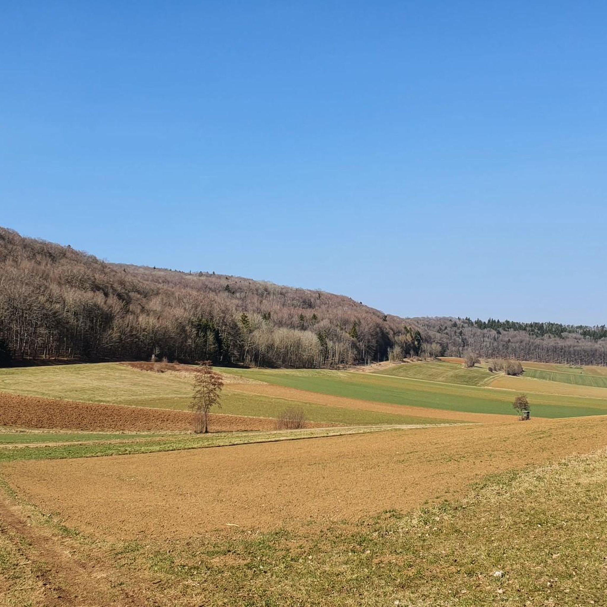
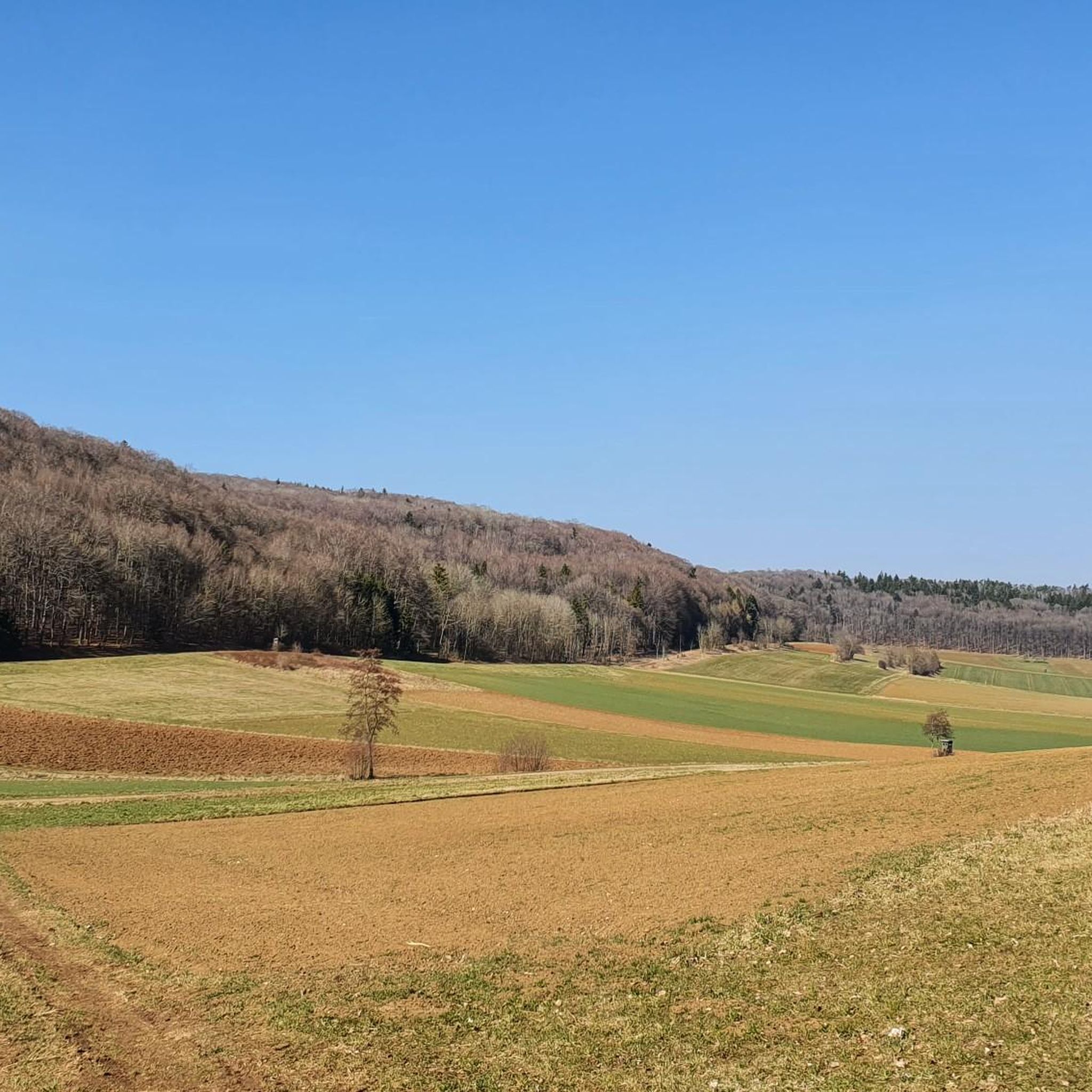
Tips from the Community

Natural monument, recorded in the official cadastre as Malmkalkscholle Turtelberg. The Turtelberg (508 m above sea level) is located southeast of Geilsheim, between Ostheim and Geilsheim. Geologically, it is a remarkable Malm limestone block on a colourful breccia. It reached its present position outside the actual crater rim as a result of the Nördlinger Ries asteroid impact approximately 15 million years ago. The enormous explosion vaporized the rock at the impact point and hurled debris (such as the block on the Turtelberg) for kilometres into the surrounding area.
0
0

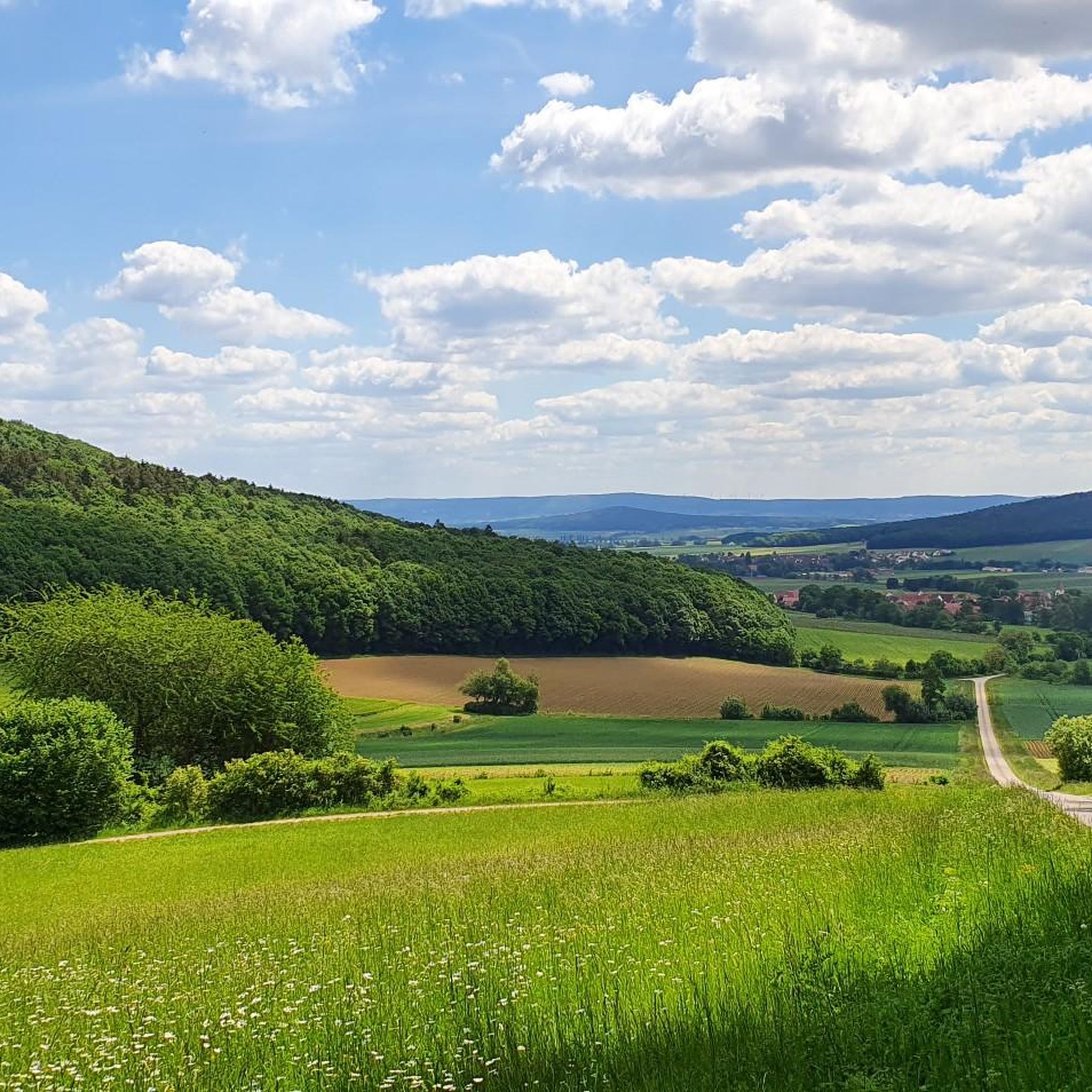
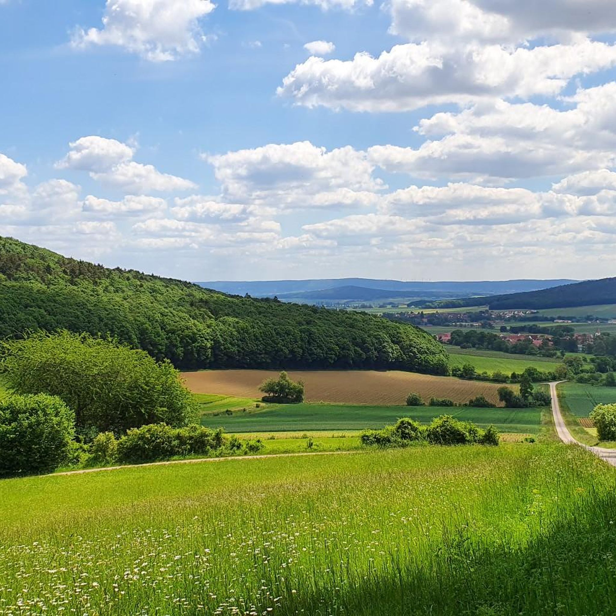
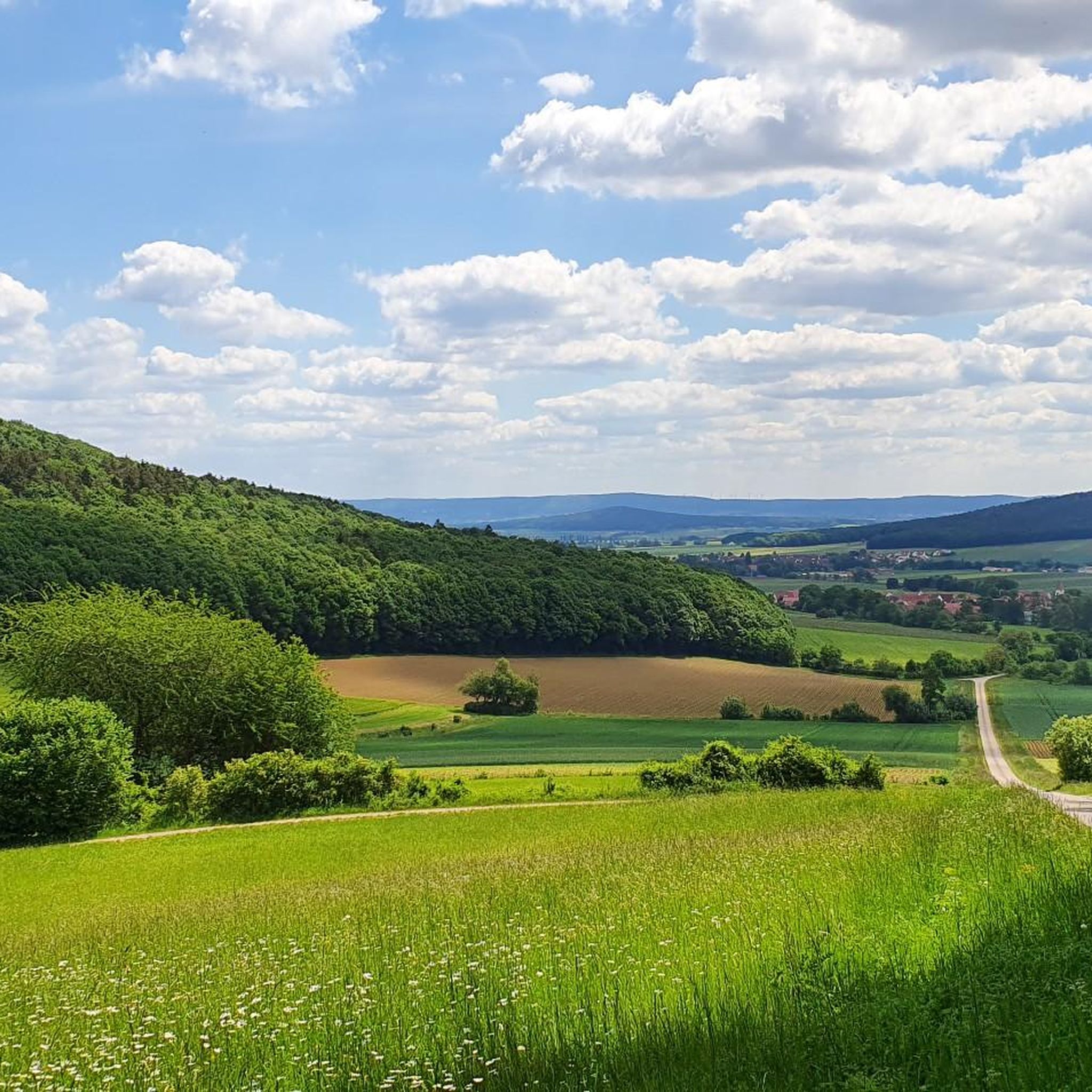
The Hörlesbuck in Heidenheim-Degersheim is the sixth highest point in Middle Franconia and offers beautiful views over the rolling hills of the area.
0
0

There is a free telescope to see the surroundings in more detail, several places to sit and a great view. A map shows the directions with prominent sights.
12
0
There is a free telescope to see the surroundings in more detail, several places to sit and a great view. A map shows the directions with notable sights. The Hesselberg (the highest elevation in Middle Franconia), the Altmühlsee and the Brombachsee are listed. But the small towns with their church towers also fit together wonderfully to create a wonderful panorama.
9
0

The Hörlesbuck (635 m above sea level) is one of the highest road crossings on the Hahnenkamm.
0
2

The Yellow Mountain, also known as the Yellow Castle, is home to botanical treasures. Here you should definitely stay on the paths / paths. The view is also fantastically beautiful.
8
0

very nice view all around, very quiet place and nice paths
6
0

The ascent is worthwhile with an impressive view. The artistic summit cross marks the highest point of the Wachtlerberg.
0
0
Frequently Asked Questions
What are some of the most popular mountain peaks to visit around Meinheim?
Some of the most popular elevated points around Meinheim include the Gelber Berg (Gelbe Bürg) Viewpoint, known for its fantastic panoramic views and historical significance. Other notable summits offering impressive vistas are the Wachtlerberg Summit and Efferaberg, which is the third-highest point in Middle Franconia. The Hörlesbuck (635 m) also offers beautiful views and is the sixth highest point in the region.
Are there family-friendly mountain peaks or viewpoints suitable for all ages?
Yes, the Gelber Berg (Gelbe Bürg) Viewpoint is considered family-friendly. It features a free telescope for detailed viewing, several seating areas, and a map highlighting prominent sights, making it an enjoyable outing for families.
What kind of natural features can I expect to see from these peaks?
From the peaks around Meinheim, you can expect sweeping views over the Franconian landscape, including the Gunzenhausen Plain, the Franconian Lake District (such as Altmühlsee and Brombachsee), and far into the Weißenburger Land. Many of these peaks, like the Gelber Berg and Wachtlerberg Summit, are surrounded by forests, offering a blend of woodland and open panoramic views.
Are there any historical or cultural sites associated with the mountain peaks?
The Gelber Berg (Gelbe Bürg) Viewpoint is a designated historical site. Finds of stone axes and chert arrowheads suggest that the mountain has been inhabited since the Neolithic period, adding a rich historical layer to its natural beauty.
What outdoor activities can I do near the mountain peaks around Meinheim?
Beyond hiking to the peaks, the region around Meinheim offers a variety of outdoor activities. You can explore numerous cycling routes, including mountain biking, touring bicycle, and racebike options. For example, there are routes like the "Altmühltal Cycle Path" and "Fossa Carolina (Charlemagne's Trench)" that offer diverse experiences. You can find more details on these routes in the Traffic-free bike rides around Meinheim guide.
Are there challenging ascents for experienced hikers or cyclists?
Yes, for those seeking a challenge, the Ascent from Sammenheim to Gelber Berg is noted as a challenging climb. It features slopes of up to 22% in its upper third, making it a demanding route for both hikers and cyclists. The final meters to the Teufelsley summit (in the broader region) are also described as having an alpine character, requiring sturdy shoes and free hands.
What do visitors enjoy most about the mountain peaks in this region?
Visitors frequently praise the fantastic and impressive panoramic views from various summits, such as the Gelber Berg, Wachtlerberg Summit, and Efferaberg. The opportunity to see distant lakes and historical sites, combined with the peaceful forest settings, makes for a rewarding experience. The artistic summit cross on Wachtlerberg is also a highlight for many.
What is the highest point in the immediate Meinheim area?
The Hörlesbuck, at 635 meters above sea level, is one of the highest points in the Hahnenkamm region and the sixth highest point in Middle Franconia. The Efferaberg is the third-highest point in Middle Franconia.
Are there specific trails or routes to reach these mountain peaks?
Yes, there are various trails leading to the peaks. For instance, the Ascent from Sammenheim to Gelber Berg is a specific trail leading to the summit. Many ascents involve partly narrow paths, as described for the Wachtlerberg Summit, offering an engaging hiking experience.
Can I find viewpoints with telescopes or other amenities?
Yes, the Gelber Berg (Gelbe Bürg) Viewpoint is equipped with a free telescope, allowing visitors to observe the surroundings in greater detail. There are also several places to sit and a map indicating prominent sights, enhancing the visitor experience.
Most popular routes around Meinheim
Most popular attractions around Meinheim

Get inspired with the komoot mobile app


Explore more
See even more amazing summits around Meinheim with these guides:
