The 4 Most Amazing Peaks around Plattling
Best mountain peaks around Plattling are found within a predominantly riverine landscape, characterized by the confluence of the Isar and Danube rivers. The area features extensive floodplains and some rolling hills, with a relatively low average elevation. While not known for traditional mountain summits, the region offers elevated points and hills that provide opportunities for hiking trails near Plattling. Natural attractions include the Isar floodplains and the ecologically significant Isar Estuary.
Best mountain peaks around Plattling
- The most popular mountain…
Last updated: August 6, 2026
Schützinger Berg Summit Cross
Highlight • Summit
Translated by Google •
Tip by

Sender Deggendorf (Hochoberndorf)
Highlight • Monument
Translated by Google •
Tip by

Sign up now to discover places like this
Get recommendations on the best single tracks, peaks, & plenty of other exciting outdoor places.
Sign up for free
Stoabichl Summit Cross and Power Tree
Highlight • Summit
It was erected on Saturday, May 11, 2024. There is a …
Translated by Google •
Tip by
View from the Steinbichel Cross
Highlight • Viewpoint
Translated by Google •
Tip by

Monte Schlittenberg
Highlight • Summit
With its 338m above sea level, it offers a gigantic view 😂
Translated by Google •
Tip by
Start today with a free account
Your next adventure awaits.
Login or Signup
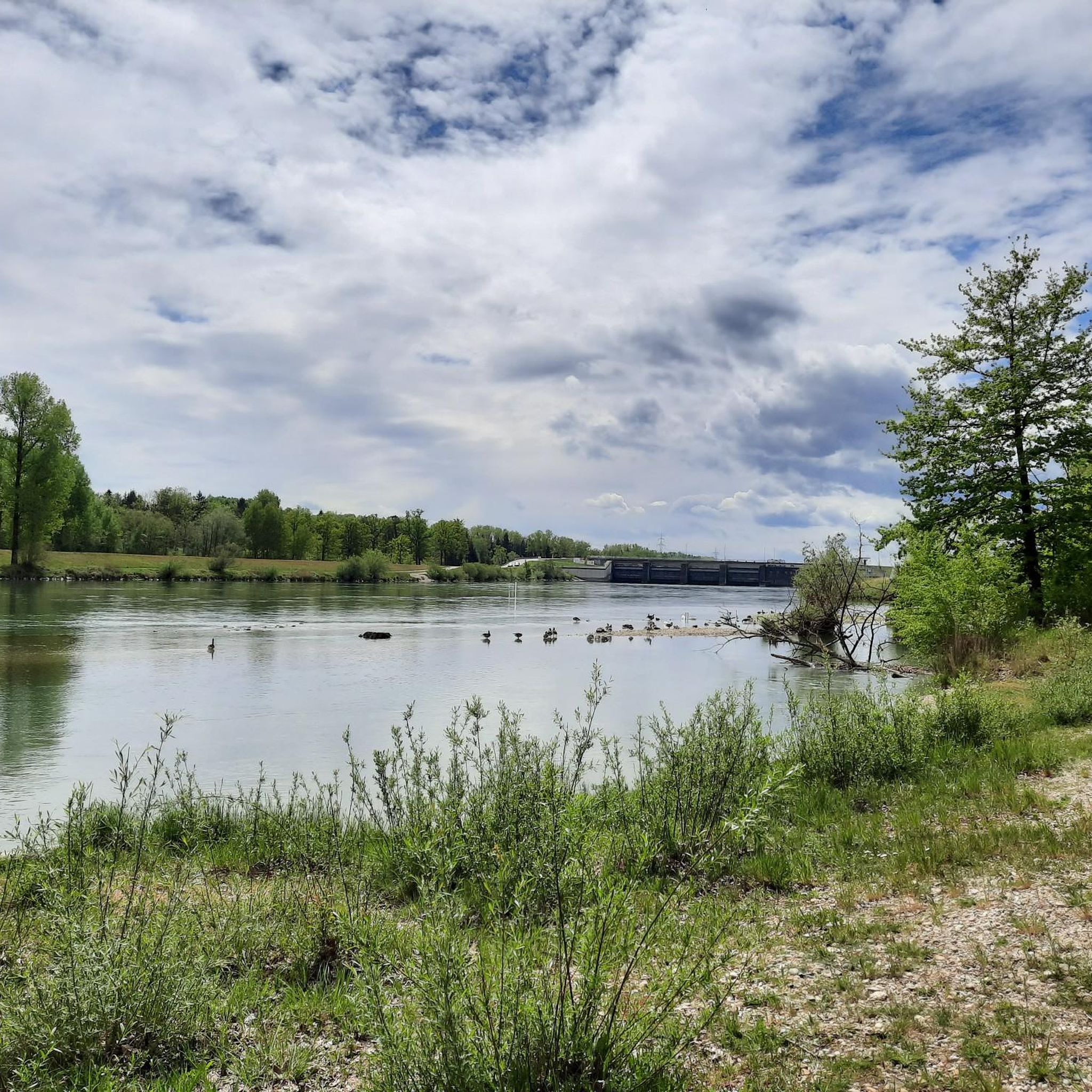
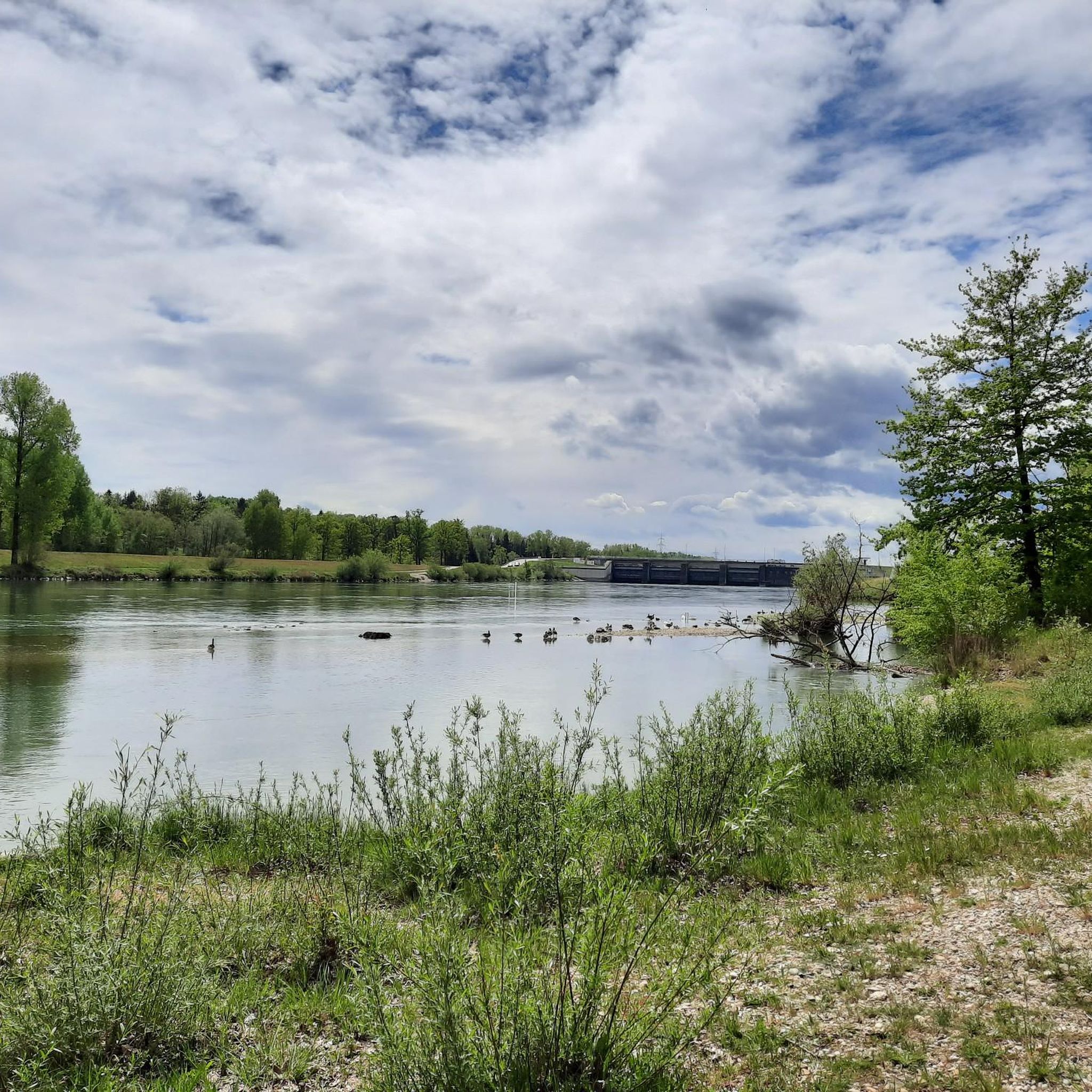
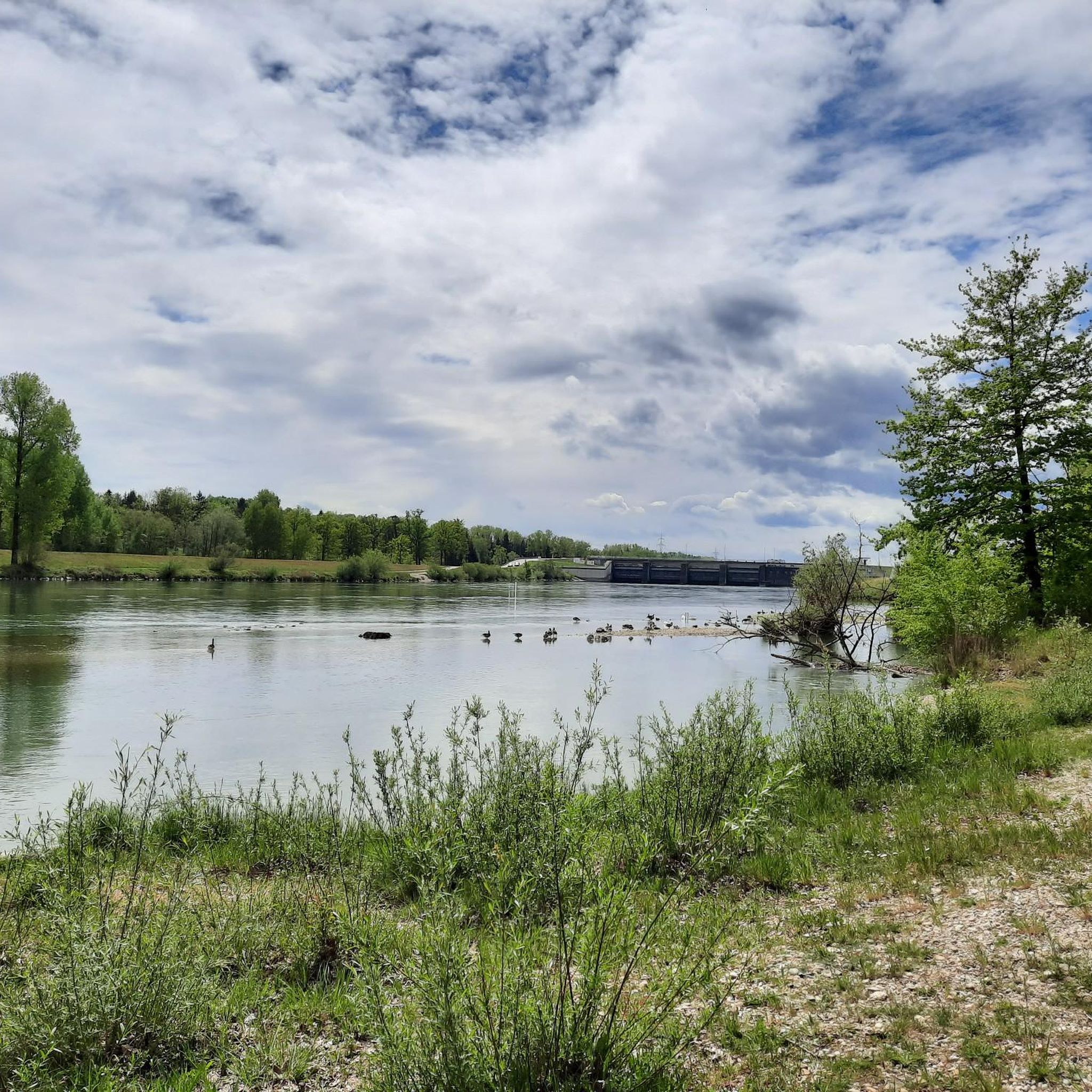
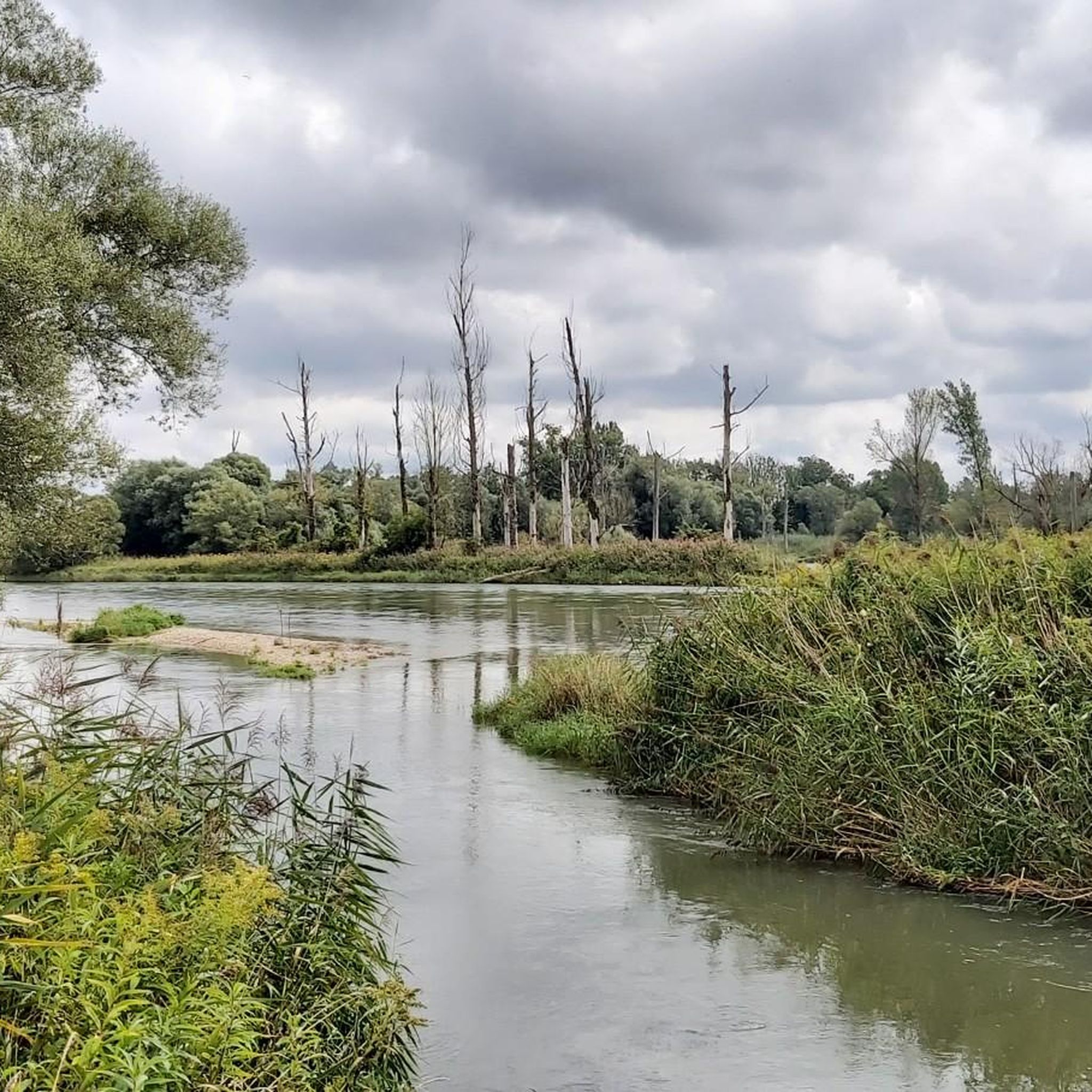
Tips from the Community

A natural summit with a great cross and a shelter.
4
0

The cross was rebuilt.
0
0
Steep climb but the view is worth it
1
0

This cross marks the highest point in the municipality of Auerbach and is located near the village of Obersteinhausen. It was erected on Saturday, May 11, 2024. There is a power tree and a power spot that was identified beforehand by a dowsing rod inspection. A table made of granite slab was made directly at the cross, and there are one or two opportunities to sit down and linger for a few minutes.
5
0
The journey is always worth it, the view and peace are amazing
0
0

Way to Steinbichel: Walk from the center of Mietraching to the Rusel power plant. After the power station, turn left over the Höllbach bridge and then immediately right into the forest path. Follow the path straight uphill until it crosses a gravel path. Here a clearly visible footpath goes to the right to the summit cross. The way there is not signposted.
2
0
Simply a nice hidden and quiet place with a great view of Deggendorf
4
0
Frequently Asked Questions
What kind of 'mountain peaks' can I expect to find around Plattling?
Plattling is situated in a predominantly riverine landscape, characterized by the confluence of the Isar and Danube rivers. The 'peaks' in this region are generally elevated points or hills rather than traditional mountain summits. They offer scenic views and opportunities for outdoor activities within a gentler terrain, featuring extensive floodplains and rolling hills.
Which are the most popular elevated points or viewpoints in the Plattling area?
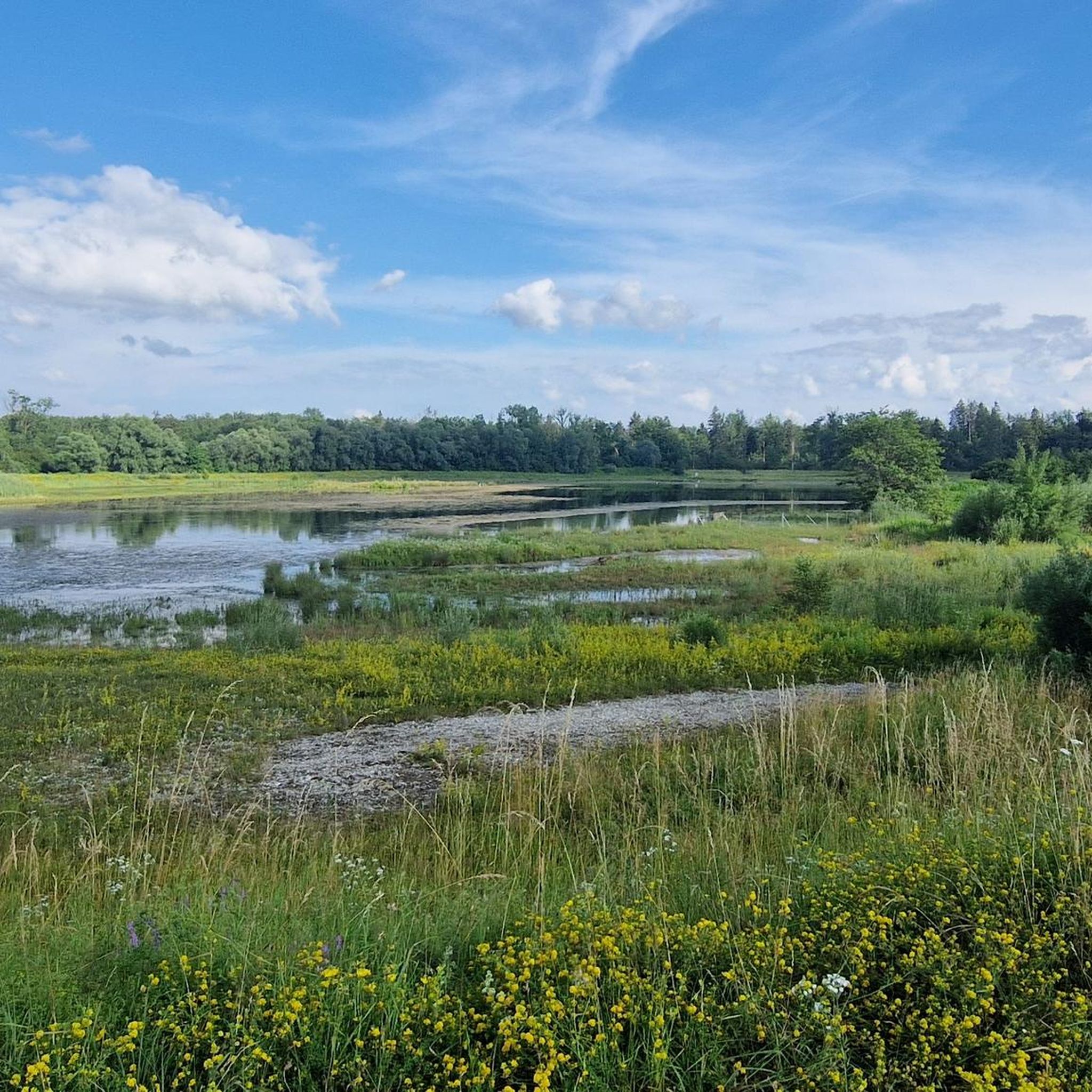
Among the most popular spots is Schützinger Berg Summit Cross, which offers a place to rest with a new wooden hut providing protection from rain, along with a summit cross, seating, and a table. Another highly regarded viewpoint is View from the Steinbichel Cross, known for its expansive views.
Are there any family-friendly elevated points or hikes near Plattling?
Yes, Monte Schlittenberg is noted as a family-friendly summit. Despite its modest 338m above sea level, it offers a pleasant viewpoint and is a good option for outings with children.
What kind of natural features can I explore around these elevated points?
The region's natural attractions primarily revolve around its riverine environment. You can explore the Isar floodplains and the ecologically significant Isar Estuary (Isarmündung), where the Isar flows into the Danube. Many routes offer views of these natural landscapes.
What outdoor activities can I do near the elevated points around Plattling?
The area is excellent for various outdoor activities. You can find numerous routes for hiking, cycling, and gravel biking. For detailed options, explore the Hiking around Plattling guide, the Gravel biking around Plattling guide, or the MTB Trails around Plattling guide.
Are there specific hiking trails near these elevated points?
Yes, there are several hiking trails. For example, you can find easy to moderate routes like the 'Isar oxbow – Isarmündung Conservation Area loop' or the 'Tropfen Sculpture on the Isar – Herzog-Albrecht Bridge loop'. More options are available in the Hiking around Plattling guide.
What are some unique landmarks or features to look out for?
Beyond natural viewpoints, you can encounter unique landmarks such as the Sender Deggendorf (Hochoberndorf), a 56-meter high telecommunication tower that serves as a prominent man-made monument. Another interesting spot is the Stoabichl Summit Cross and Power Tree, which features a cross, a 'power tree,' and a granite table for resting.
What do visitors particularly enjoy about the elevated points around Plattling?
Visitors appreciate the opportunities for rest and relaxation, such as the new wooden hut at Schützinger Berg. The expansive and often hidden views from spots like the Steinbichel Cross are also highly valued. The presence of summit crosses and seating areas provides welcoming spots for a break.
Are there any challenging routes or climbs in the Plattling area?
While the region is generally known for gentler terrain, some cycling routes, particularly for gravel biking and MTB, are rated as 'difficult'. For instance, the 'Deggendorf Old Town – Danube Beach Bar Deggendorf loop' for gravel biking is considered difficult. You can find more details in the respective Gravel biking and MTB Trails guides.
Can I find circular walks or routes around the elevated points?
Yes, many of the suggested routes are circular. For example, the 'Isar oxbow – Isarmündung Conservation Area loop' is a popular circular hiking trail. You can explore various circular options for hiking, gravel biking, and mountain biking in the Hiking around Plattling guide and other activity guides.
What is the highest point identified as a 'peak' in the immediate Plattling area?
While Plattling itself has a maximum elevation of 344 meters, the identified 'peaks' in the broader area, such as Schützinger Berg Summit Cross, reach around 609 meters above sea level, offering more significant elevation for exploration.
Most popular routes around Plattling
Most popular attractions around Plattling

Get inspired with the komoot mobile app


Explore more
See even more amazing summits around Plattling with these guides:
