The 5 Most Amazing Peaks around Pollenfeld
Best mountain peaks around Pollenfeld are found within the Franconian Jura, an upland region in Bavaria, Germany. This area features an average elevation of 534 meters, characterized by rolling hills and elevated points rather than towering peaks. The landscape offers picturesque views and is popular for hiking, forming part of the Altmühl Valley Nature Park. The region is known for its diverse landscape of rock formations, caves, and dry grasslands.
Best mountain peaks around Pollenfeld
- The most popular mountain peaks…
Last updated: September 30, 2026
Summit cross on the Schellenberg
Highlight • Viewpoint
Translated by Google •
Tip by

Bschütt-Berg (Eichstätt Matterhorn)
Highlight • Monument
The …
Translated by Google •
Tip by

Sign up now to discover places like this
Get recommendations on the best single tracks, peaks, & plenty of other exciting outdoor places.
View from Euerwanger Bühl
Highlight • Viewpoint
Translated by Google •
Tip by

Viewpoint with summit cross overlooking Grösdorf, Kipfenberg, and the Altmühl Valley
Highlight • Viewpoint
Accessible directly from the refreshment stop ~ 15min "to the blue pike" komoot.de/highlight/1269264
Translated by Google •
Tip by

Summit Cross at Former Quarry Hill
Highlight • Summit
There is now a lookout point and several fitness stations, which are well described.
Translated by Google •
Tip by

Start today with a free account
Your next adventure awaits.
Tips from the Community


When coming up the wide path, you encounter a prohibition sign including a provisional "barrier" (see picture). Unfortunately, I did not find a summit book, as reported here.
0
0

And there is a summit book like on a "real" mountain.
1
0

Not only is there a great view here, but there is also a large geocache as a reward: https://coord.info/GC3RBGT
1
0

The so-called Eichstätter Matterhorn is probably the highest slag heap in Eichstätt and is clearly visible as it is the only slag heap with a summit cross around Eichstätt. The B Schütt mountain, whose summit is at 574 meters, is probably one of the most striking slag heaps in the Jura. The Matterhorn reflects an important part of Eichstätter's mining and quarrying history. It was initially piled up without permission as part of the mining of limestone on the Jura. Approval was finally granted retrospectively in the early 2000s. From the summit of the Eichstätter "Matterhorn" you can see the Zugspitze massif when the weather is clear.
4
0

The summit cross on the Schellenberg can be easily reached via the demanding Keltensteig near Enkering. The fantastic view rewards the climb, there is also some seating.
29
0

insanely beautiful view with panorama sofa to enjoy
8
0

From the Schellenberg you have a very nice view of the Anlautertal.
9
0
Frequently Asked Questions
What are some of the most scenic viewpoints around Pollenfeld?
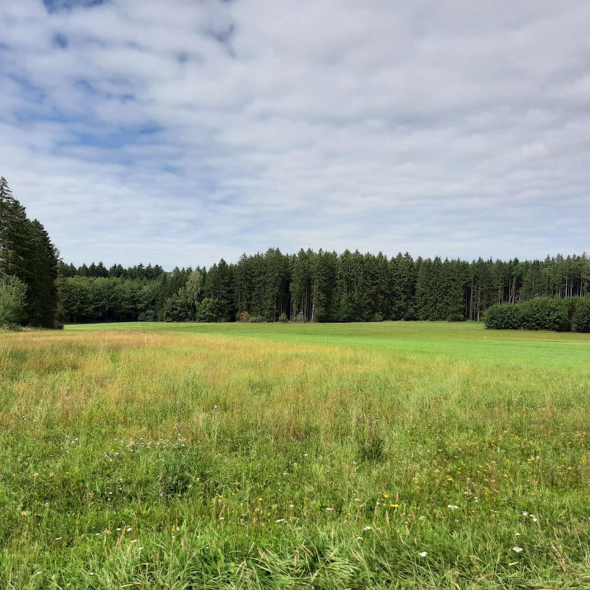
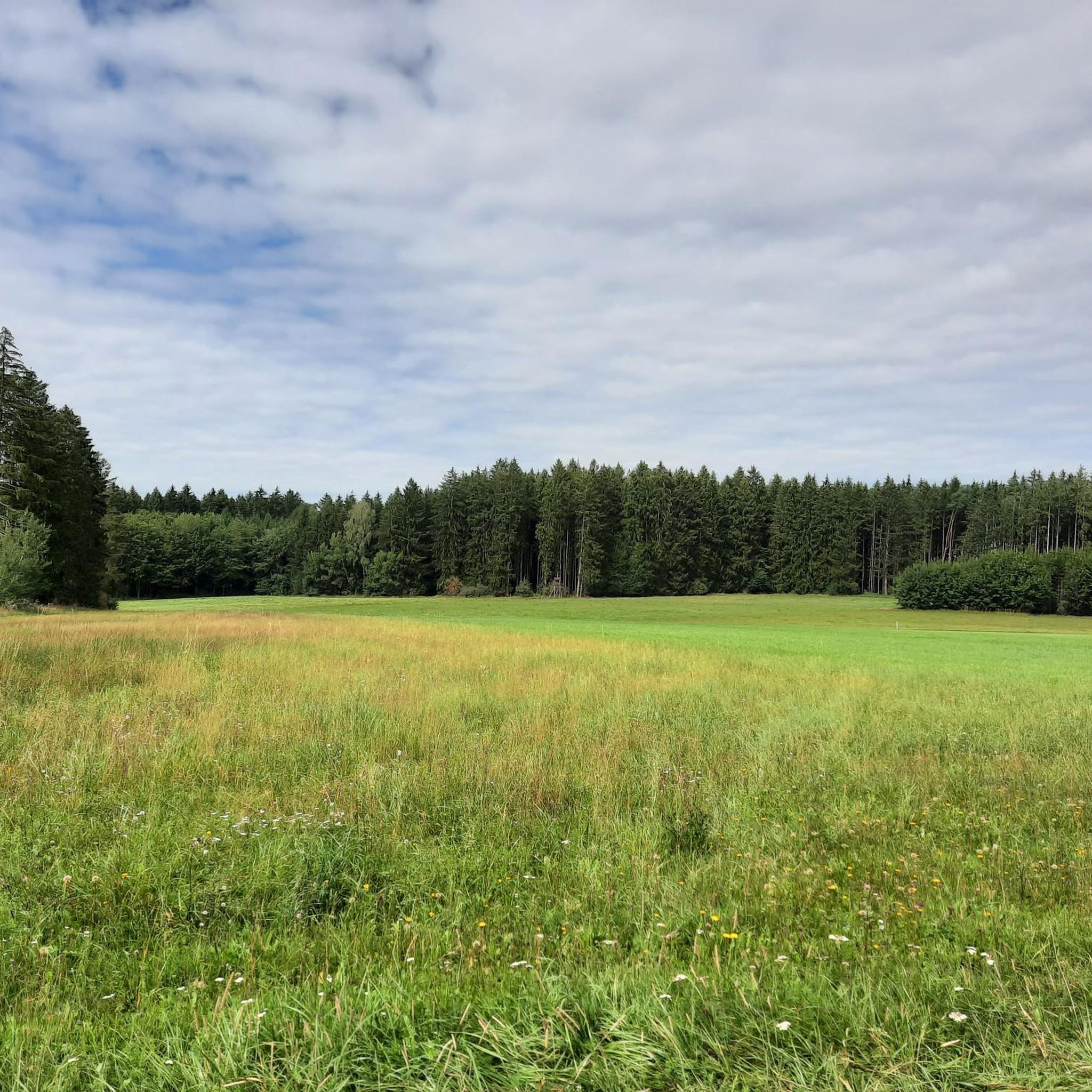
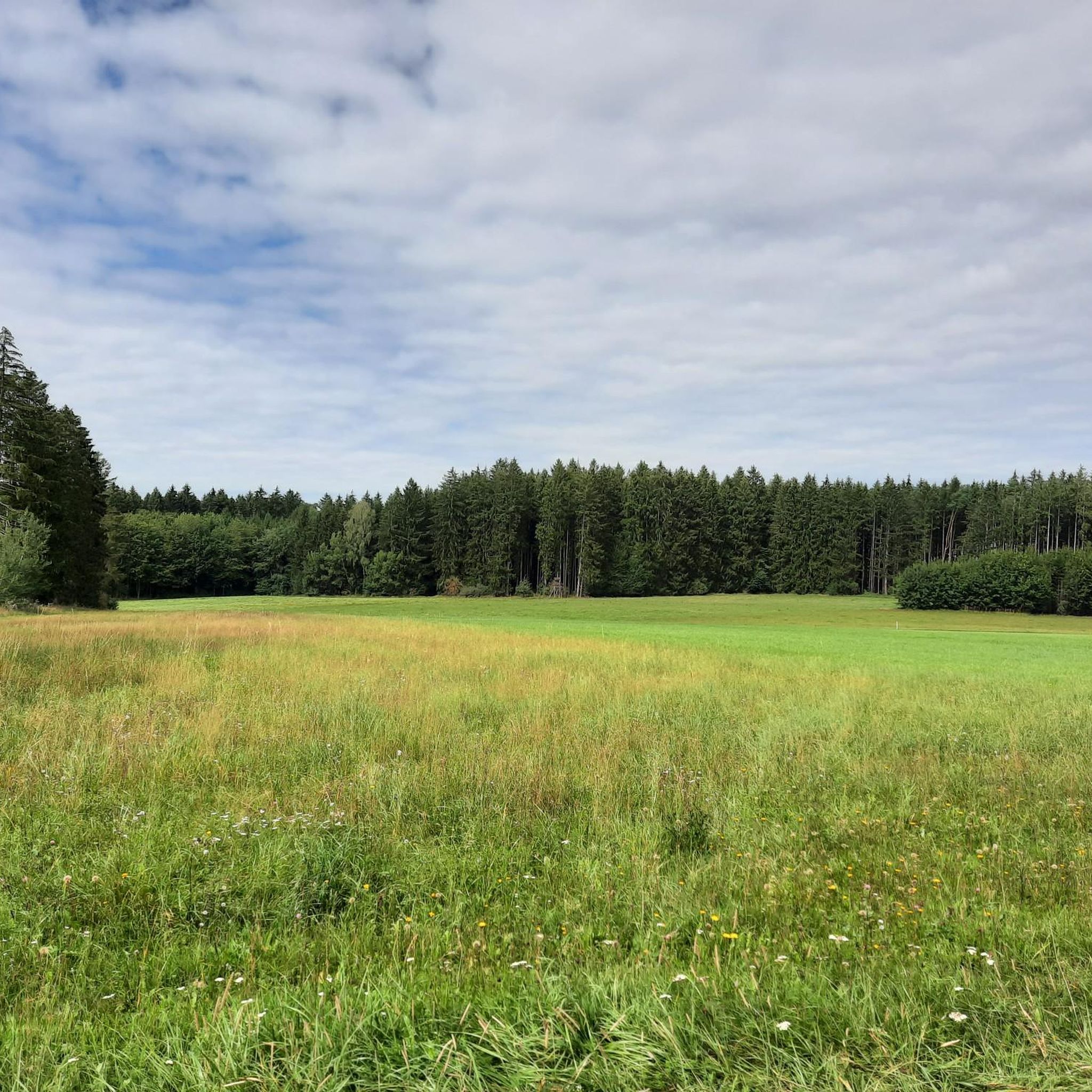
The region around Pollenfeld, part of the Franconian Jura, offers numerous elevated points with picturesque views. Notable spots include the Summit cross on the Schellenberg, which provides magnificent panoramic views of the Altmühl valley. Another excellent choice is the View from Euerwanger Bühl, offering expansive vistas from an elevation of 596 meters, complete with a panorama sofa for relaxation. You can also find great views towards Grösdorf, Kipfenberg, and the Altmühl from the Viewpoint with summit cross overlooking Grösdorf, Kipfenberg, and the Altmühl Valley.
Are there family-friendly elevated points or viewpoints around Pollenfeld?
Yes, the View from Euerwanger Bühl is considered family-friendly. Located at an elevation of 596 meters, it offers a fantastic view and a panorama sofa, making it a comfortable spot for families to enjoy the scenery. The trails leading to many of the viewpoints are generally suitable for various fitness levels, though some ascents can be intermediate.
What kind of natural features can I expect to see on the elevated points near Pollenfeld?
The elevated points and hills around Pollenfeld are part of the Franconian Jura, characterized by a diverse landscape of Jurassic rock formations, caves, and dry grasslands. You'll encounter rolling hills, green forests, and unique geological features. Many viewpoints, like the Summit cross on the Schellenberg, are situated on exposed spurs, offering wide views of the surrounding natural beauty, including the Altmühl valley.
Are there any historical or cultural landmarks on the elevated points around Pollenfeld?
Yes, the Summit cross on the Schellenberg is a significant historical site. This exposed mountain spur has been used since the Neolithic period, with settlement traces dating back over 7,000 years. The summit cross itself is dedicated to fallen and missing soldiers from both world wars. Additionally, the Bschütt-Berg (Eichstätt Matterhorn), while a man-made monument, reflects an important part of Eichstätt's mining and quarrying history.
What outdoor activities can I do near the elevated points around Pollenfeld?
The region offers a variety of outdoor activities. You can explore numerous hiking trails suitable for different fitness levels. For those interested in running, there are several routes available, such as those found in the Running Trails around Pollenfeld guide. Cycling enthusiasts can enjoy gravel biking, with options like those in the Gravel biking around Pollenfeld guide, or more challenging mountain biking trails detailed in the MTB Trails around Pollenfeld guide.
Are there challenging routes to reach the elevated points around Pollenfeld?
While many trails are accessible, some routes offer a more challenging experience. For instance, reaching the Summit cross on the Schellenberg can be done via the demanding Keltensteig near Enkering. Similarly, there is a challenging rise from Heimbach to the View from Euerwanger Bühl. These routes provide a rewarding climb for experienced hikers.
What is the best time of year to visit the elevated points around Pollenfeld?
The Franconian Jura region is beautiful throughout the warmer months, typically from spring to autumn. During these seasons, the weather is generally pleasant for hiking and enjoying the panoramic views. Spring brings blooming nature, while autumn offers vibrant foliage. While winter can be scenic, some trails might be more challenging due to snow or ice, and amenities may have reduced hours.
What do visitors enjoy most about the elevated points and viewpoints around Pollenfeld?
Visitors frequently praise the magnificent panoramic views, especially from spots like the Summit cross on the Schellenberg and the View from Euerwanger Bühl. The tranquility and natural beauty of the Franconian Jura, with its rolling hills and unique rock formations, are also highly appreciated. Many enjoy the well-maintained trails and the opportunity for peaceful recreation, often finding the climbs rewarding.
Are there any unique or unusual elevated points to visit near Pollenfeld?
Yes, the Bschütt-Berg (Eichstätt Matterhorn) stands out as a unique destination. It's known as probably the highest slag heap in Eichstätt, clearly visible with its own summit cross. This site offers a glimpse into the region's mining and quarrying history and even features a summit book like a 'real' mountain. Another interesting spot is the Summit Cross at Former Quarry Hill, which is a former spoil dump now repurposed as a lookout point with fitness stations.
Can I find cafes or refreshment stops near the hiking areas around Pollenfeld's elevated points?
While specific cafes directly on every elevated point are not common, many hiking routes in the Altmühl Valley Nature Park pass through or near villages where you can find refreshment stops. For example, the Viewpoint with summit cross overlooking Grösdorf, Kipfenberg, and the Altmühl Valley is directly accessible from a refreshment stop called 'to the blue pike' within about 15 minutes, offering convenience for hikers.
What is the average elevation of the elevated points in the Pollenfeld region?
Pollenfeld itself sits at an average elevation of 534 meters (1,752 ft). The elevated points and rolling hills within the Franconian Jura, where Pollenfeld is located, generally reach up to approximately 600 meters (2,000 ft). For instance, the View from Euerwanger Bühl is at an elevation of 596 meters.
Most popular routes around Pollenfeld
Most popular attractions around Pollenfeld

Get inspired with the komoot mobile app


Explore more
See even more amazing summits around Pollenfeld with these guides:
