The 5 Most Amazing Peaks around Gieleroth
Mountain peaks around Gieleroth are found within the Westerwald region of Rhineland-Palatinate, Germany, an area characterized by its elevated points rather than towering alpine summits. The municipality itself sits at an elevation of 302 meters, with the highest point within its boundaries reaching 364 meters. These elevated areas offer opportunities for exploring the natural landscape and Gieleroth hiking trails, providing tranquil rural settings and scenic viewpoints. The terrain elevation difficulty hiking Westerwald is generally moderate, making it accessible for various…
Last updated: August 6, 2026
Raiffeisen Tower on Beulskopf
Highlight • Viewpoint
Translated by Google •
Tip by

Summit Cross and Tree of the Year Trail, Streithausen
Highlight • Summit
Translated by Google •
Tip by

Sign up now to discover places like this
Get recommendations on the best single tracks, peaks, & plenty of other exciting outdoor places.
Sign up for free
Atzelgift Summit Cross and Viewpoint
Highlight • Viewpoint
Translated by Google •
Tip by

Gietzebeul Summit
Highlight • Summit
Except for the sign, there's nothing up here but nature.
Translated by Google •
Tip by
Panoramic View from Beulskopf
Highlight • Viewpoint
Translated by Google •
Tip by

Sign up for free to discover even more peaks around Gieleroth.
Sign up for free
Already have an account?
Start today with a free account
Your next adventure awaits.
Login or Signup
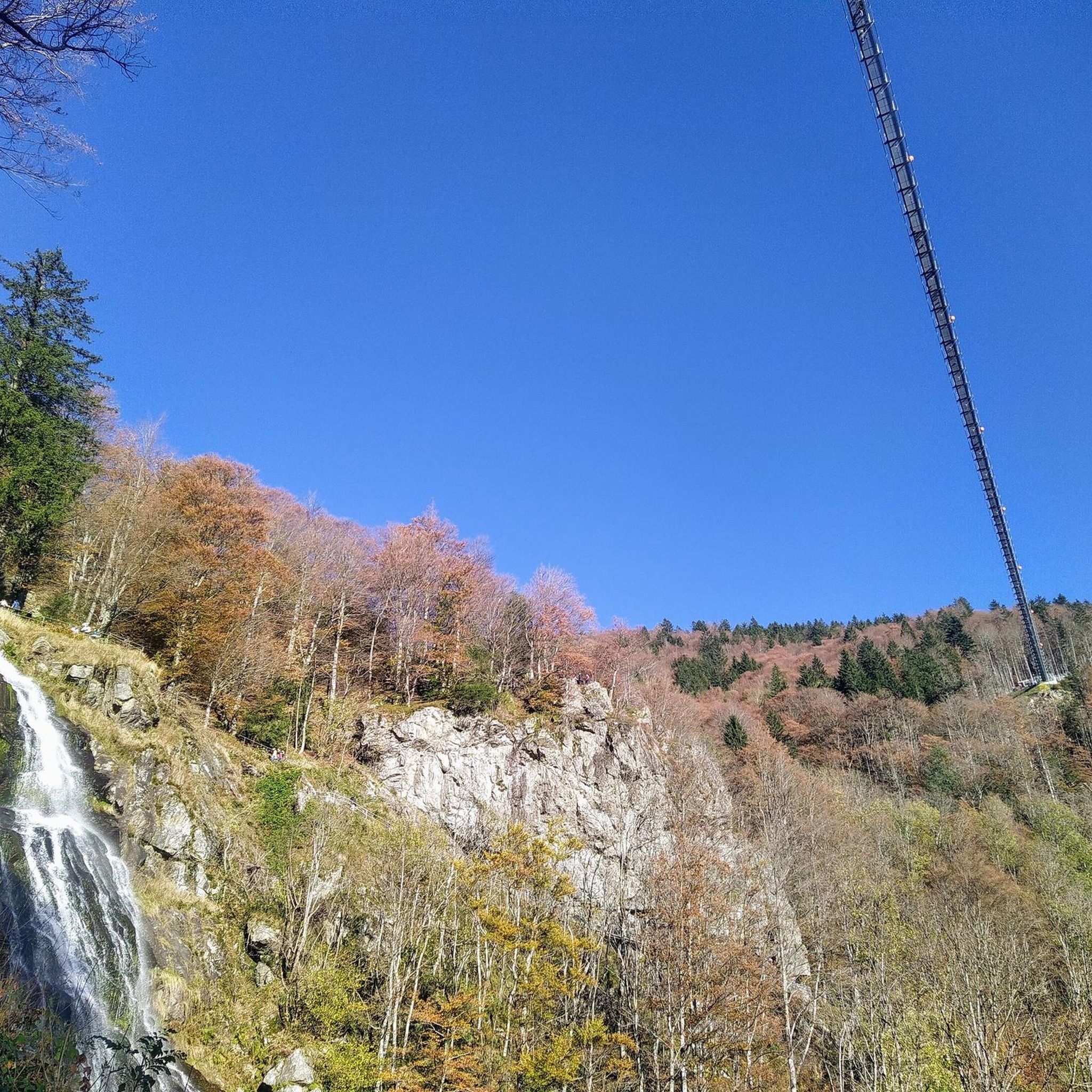
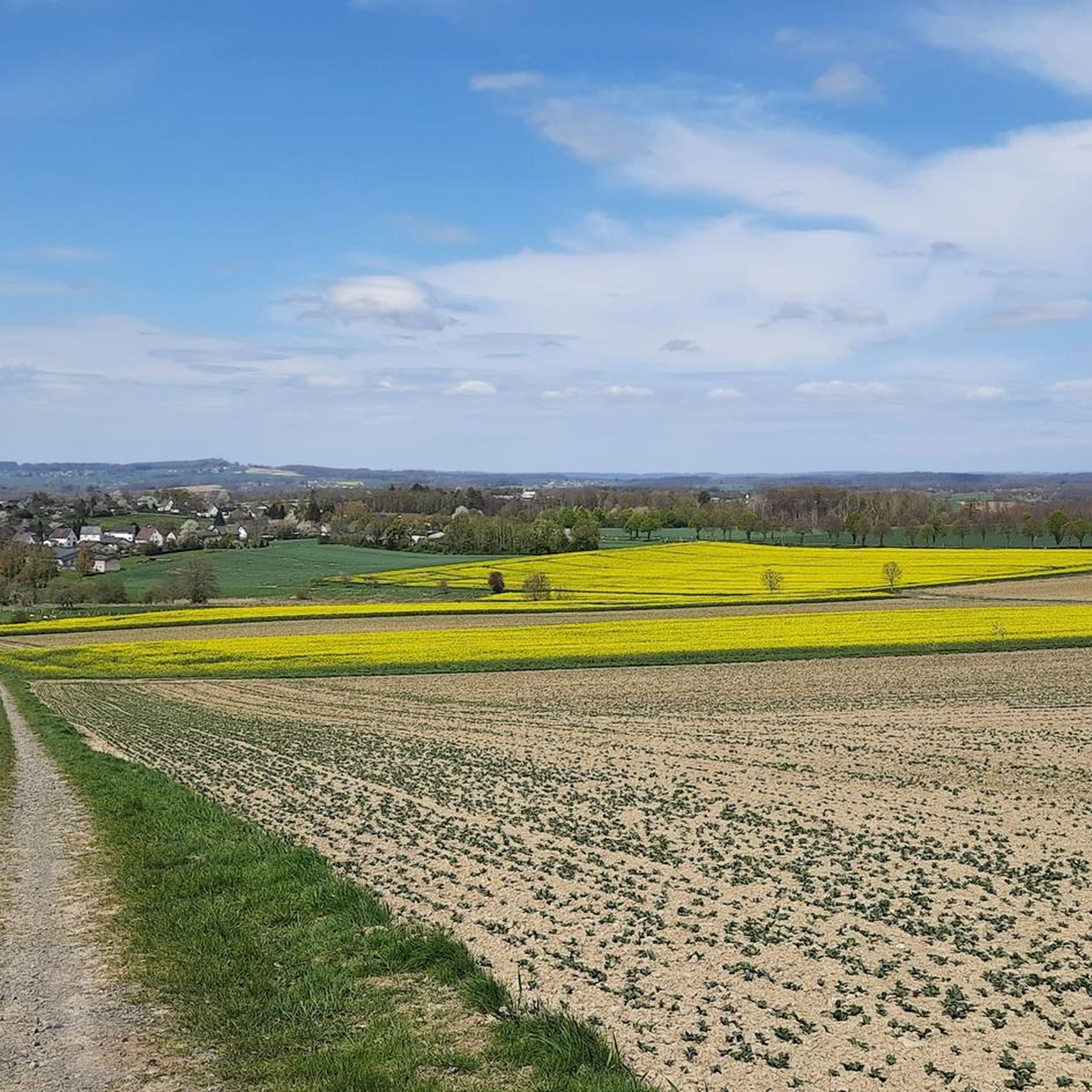
Tips from the Community

A beautiful place with great views.
1
0

Nice way to hike or ride on the MTB
1
0

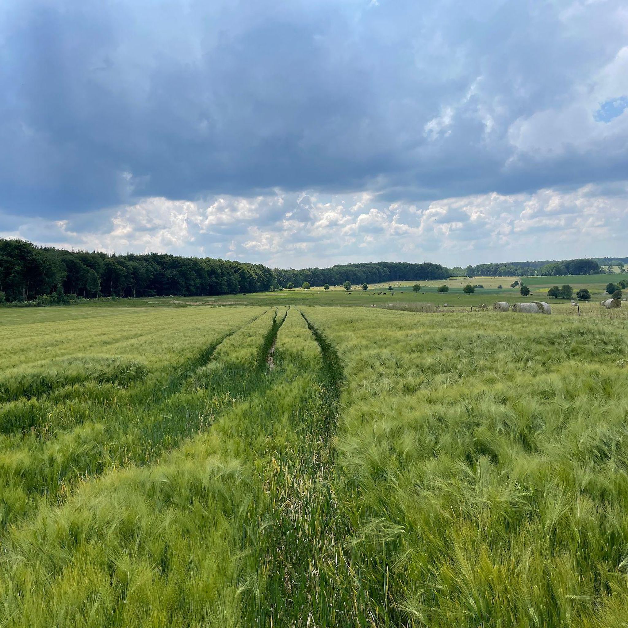
The spruces are almost all gone, the deciduous trees are still standing. Except for the sign, there's nothing up here but nature.
3
1

Above Streithausen there is a cross, a "Tree of the Year Park" circular path and an "Eco TV" which offers a view of Streithausen.
2
0

Anyone who has mastered the 177 steps up will be rewarded with a fantastic panoramic view.
5
0

The summit cross seen from afar.
2
0
A sun lounger, opportunity for a break with a good view.
3
0

180 steps for a great all-round view. On the railing of the viewing platform, the sights and towns are marked with a marker – funny and definitely helpful.
3
0
Frequently Asked Questions
What are some of the most popular viewpoints or elevated points to visit around Gieleroth?
The region around Gieleroth offers several popular elevated points and viewpoints. One of the most acclaimed is the Raiffeisen Tower on Beulskopf, which provides a panoramic view from its 35-meter height. Visitors also highly recommend the View of Helmeroth and Langenbach for its relaxing atmosphere and scenic outlook, often featuring a relaxation bed. Another favorite is the View from Bickenberg, known for its panoramic views and a convenient bench for resting.
Are there family-friendly elevated points or trails near Gieleroth?
Yes, several elevated points and trails around Gieleroth are suitable for families. The Summit Cross and Tree of the Year Trail near Streithausen is noted as family-friendly, offering a nice view and a unique experience with trees planted for newborns. Generally, the terrain in the Westerwald region, where Gieleroth is located, is characterized by gentle undulations, making many trails accessible for various ages and fitness levels.
Do any of the elevated areas near Gieleroth have historical significance?
Yes, the Herzberg, located northeast of Gieleroth, is an elevated area with historical significance. It stands at 325 meters (1,066 feet) above sea level and is believed to have once housed a refuge castle. An preserved section of its rampart is registered as an archaeological monument, adding a layer of historical intrigue to the location.
What is the general difficulty of hiking the elevated trails around Gieleroth?
The terrain elevation and hiking difficulty around Gieleroth, within the Westerwald region, are generally considered moderate. While there are elevated points, they are not towering alpine summits. This makes the trails accessible for a variety of outdoor activities and fitness levels, offering a tranquil rural setting without extreme challenges.
Besides hiking, what other outdoor activities can I do near Gieleroth's elevated points?
The area around Gieleroth is excellent for various outdoor activities. You can explore numerous cycling routes, including road cycling and gravel biking. For mountain biking enthusiasts, there are also dedicated MTB trails. These routes often pass by or offer views of the region's elevated points and natural landscapes.
What natural features can I expect to see when visiting the elevated areas around Gieleroth?
When exploring the elevated areas around Gieleroth, you can expect to encounter diverse natural features typical of the Westerwald. These include extensive forest trails, scenic viewpoints offering wide-ranging vistas, and tranquil rural landscapes. Highlights like Gietzebeul Summit are known for their natural settings, even if some areas have been affected by environmental changes.
What do visitors enjoy most about the elevated points and viewpoints near Gieleroth?
Visitors particularly enjoy the panoramic views and the peaceful atmosphere. Many appreciate the opportunity to relax on benches or even relaxation beds at viewpoints like the View of Helmeroth and Langenbach. The Raiffeisen Tower on Beulskopf is a favorite for its extensive all-round views, especially for photographers, with sights and towns clearly marked on the viewing platform.
Are there any specific trails or routes that lead to these elevated points?
Yes, many of the elevated points are accessible via well-known trails. For instance, the "Kühlwagenwanderweg Gieleroth nach Oberwambach" is a popular route for exploring the surroundings. Highlights like Gietzebeul Summit are reached via trails through the forest, offering a direct connection to nature.
What is the best time of year to visit the mountain peaks and elevated areas around Gieleroth?
The Westerwald region, including the areas around Gieleroth, is enjoyable throughout much of the year. Spring and autumn are particularly popular for hiking due to pleasant temperatures and vibrant natural colors. While winter hiking is possible, it's advisable to check local conditions as some trails might be affected by snow or ice. Clear weather is always best for enjoying the panoramic views from the various viewpoints.
Is there public transport available to reach the areas around Gieleroth's elevated points?
Gieleroth is a municipality in a rural setting. While specific public transport options directly to every elevated point might be limited, the region is generally accessible. It's recommended to check local bus schedules or consider driving to trailheads, where parking is often available, to best explore the various elevated points and hiking routes.
Are there any unique features or monuments at the elevated points near Gieleroth?
Yes, some elevated points feature unique structures. The Raiffeisen Tower on Beulskopf is a prominent man-made monument offering exceptional views. Additionally, the Summit Cross and Tree of the Year Trail near Streithausen combines a summit cross with a unique tradition of planting trees for newborns, creating a special natural and man-made monument.
Most popular routes around Gieleroth
Most popular attractions around Gieleroth

Get inspired with the komoot mobile app


Explore more
See even more amazing summits around Gieleroth with these guides:
