The 10 Most Amazing Peaks around Brand-Erbisdorf
Mountain peaks around Brand-Erbisdorf are characterized by a landscape of wooded hills and elevated features shaped by historical mining. Nestled at the foot of the Ore Mountains, the region offers recreational opportunities through its extensive network of hiking trails. These elevated points provide perspectives on the area's industrial past, which is part of the UNESCO World Heritage Site Montanregion Erzgebirge/Krušnohoří. The terrain invites exploration for all fitness levels, blending natural beauty with significant historical context.
Best mountain peaks around Brand-Erbisdorf
…Last updated: May 14, 2026
Burgberg summit cross (622 m)
Highlight • Summit
Translated by Google •
Tip by

Udohöhe Triangulation Station (1867)
Highlight • Monument
Translated by Google •
Tip by

Sign up now to discover places like this
Get recommendations on the best single tracks, peaks, & plenty of other exciting outdoor places.
Sign up for free
Karolinenhöhe
Highlight • Summit
Translated by Google •
Tip by

Zipfel Summit (522 m)
Highlight • Summit
Translated by Google •
Tip by
Tannhübel (426 m)
Highlight • Viewpoint
Translated by Google •
Tip by

Sign up for free to discover even more peaks around Brand-Erbisdorf.
Sign up for free
Already have an account?
Start today with a free account
Your next adventure awaits.
Login or Signup

Tips from the Community

In 2022, two Lichtenberg natives, Jörg and Sven, had a special idea: they wanted to revive an old local legend – the legend of the "Light on the Mountain." This tale, passed down from generation to generation for centuries, was deeply intertwined with the history of Lichtenberg and its surroundings. Inspired by this somber legend, Jörg and Sven decided to create a symbol of hope and light. They planned to erect a new summit cross on the mountain that would glow at night, just like the light in the windows of the old legend. But this light would no longer spread fear, but rather inspire hope. Two chimes are also mounted in the center of the cross, which, played by the wind, carry peaceful sounds down into the valley. Opposite the cross is a new selfie stand, perfect for taking a selfie.
6
0

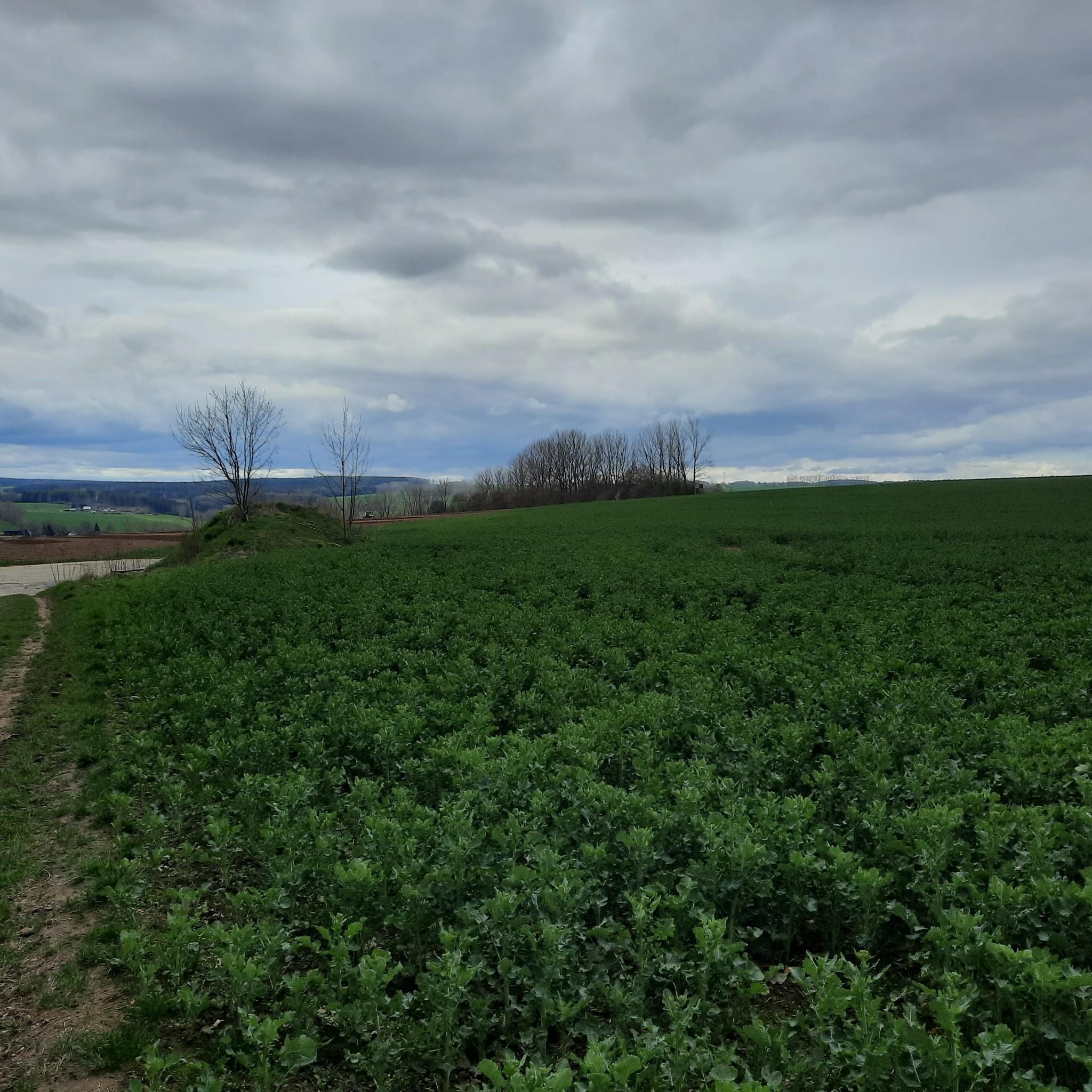
Beautiful view towards Freiberg
0
1

Bench with a great view over Hilbersdorf, Muldenhütten and Freiberg from Tannhübel at 426 m above sea level
1
0

Beautiful rest area with a great view towards Hilbersdorf, Muldenhütten and Freiberg.
3
1

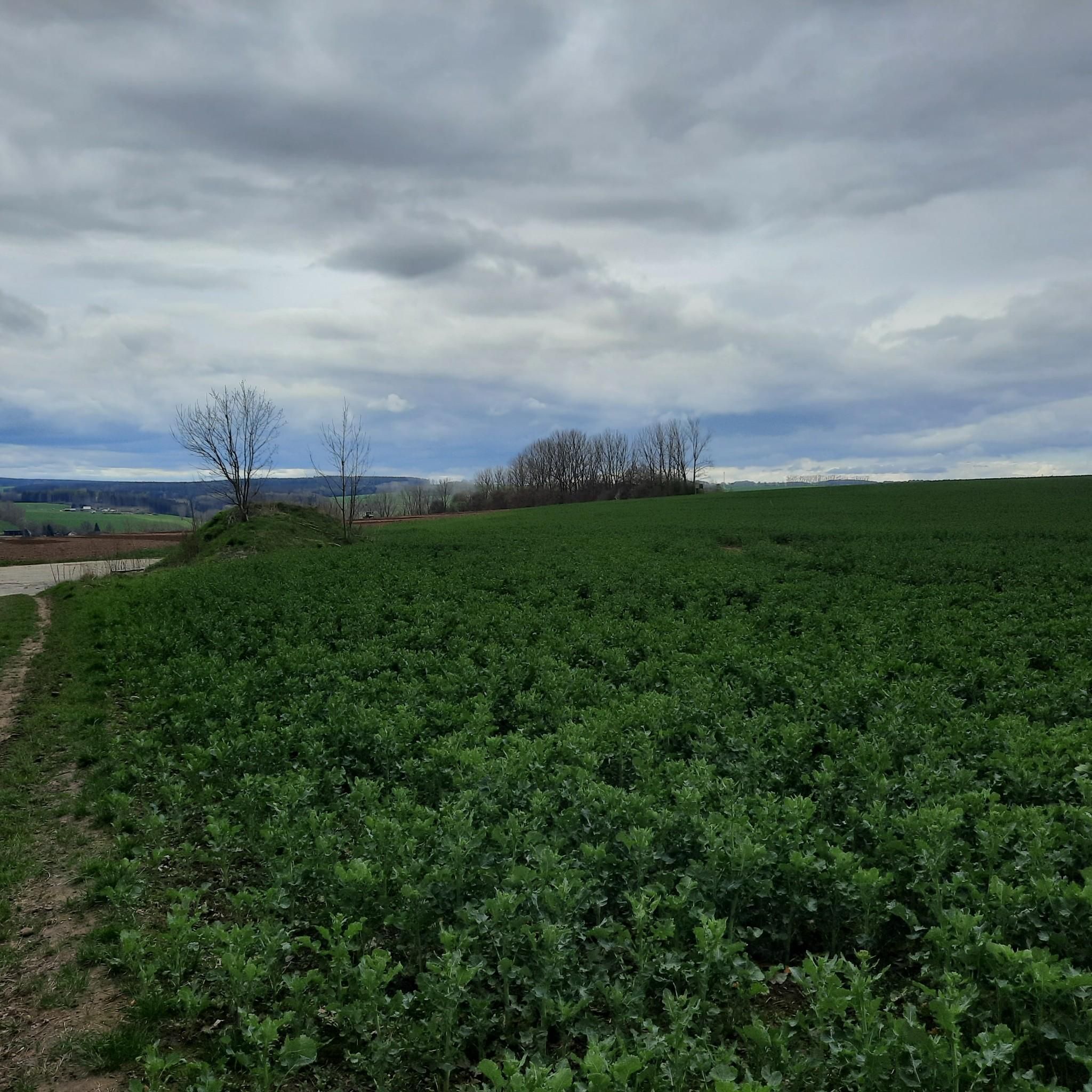
It doesn't matter whether you've struggled up via Hausdorf or have completed the long ascent from the direction of Oederan / Falkenau, now you're at the top - the right moment to take a breather! The actual summit of the Karolinenhöhe (499 m) can be seen next to you in the forest, on the opposite side is Schönerstadt and behind it the Udohöhe (wooded). In the direction of Oederan you can see the Augustusburg and behind it, on a clear day, the Erzgebirge ridge with Fichtelberg and Keilberg (Klinovec, CZ), as well as the Saydaerhöhe with many wind turbines. So, and now it's a long way downhill, you deserve it 😊
0
0

the way there is a classic MTB way🚵♂️😃
0
0

Nice stone formation with a great view
3
0

We have a great view and a nice place to rest.
3
0
Frequently Asked Questions
What are the most notable elevated features or 'peaks' to visit around Brand-Erbisdorf?
While Brand-Erbisdorf is known for its wooded hills and mining-related elevations rather than towering natural peaks, several spots offer unique experiences. The Burgberg summit cross (622 m) provides beautiful views and a summit register. Another must-see is Tannhübel (426 m), a viewpoint with panoramic vistas towards Hilbersdorf, Muldenhütten, and Freiberg. For historical significance, the St. Johannes Fundgrube spoil heap, part of the UNESCO World Heritage Site Montanregion Erzgebirge/Krušnohoří, is a prominent man-made hill showcasing the region's mining past.
Are there any viewpoints offering extensive panoramas in the Brand-Erbisdorf area?
Yes, several elevated points offer great views. From Burgberg summit cross (622 m), you can enjoy beautiful views of the surrounding landscape. Tannhübel (426 m) provides a nice all-round view towards Hilbersdorf, Muldenhütten, and Freiberg. On a clear day, from Karolinenhöhe, you can even spot the Augustusburg and the Erzgebirge ridge, including Fichtelberg and Keilberg.
What kind of hiking trails can I find near the elevated features of Brand-Erbisdorf?
The region around Brand-Erbisdorf offers an extensive network of hiking trails that integrate natural beauty with historical mining sites. You'll find paths suitable for all fitness levels, from gentle walks through wooded hills to more challenging routes that lead to viewpoints and historical monuments. Many trails incorporate the typical spoil heaps and mining facilities, providing a unique blend of nature and history. For more detailed hiking options, you can explore the various routes available in the area.
What outdoor activities are popular around Brand-Erbisdorf's elevated areas?
Beyond hiking, the diverse terrain around Brand-Erbisdorf is excellent for various outdoor activities. Cycling is very popular, with routes like the 'Beschert Glück Mine – Three Crosses loop' or the 'Brandsteig Pathway – Muldental Cycle Path loop'. Mountain biking enthusiasts can enjoy trails such as the 'Erzengler Pond – Freiberger Mulde Valley loop'. There are also numerous running trails, including easy loops around the Erzengler Pond. For more details on these activities, visit the cycling guide, running guide, and MTB guide for Brand-Erbisdorf.
Are there any family-friendly walks or activities near the 'peaks' in Brand-Erbisdorf?
Yes, the area offers several family-friendly options. The general hilly and forested terrain provides many trails suitable for all fitness levels, including beginners and families. Tannhübel (426 m) is specifically noted as family-friendly, offering a beautiful rest area with a great view. The presence of ponds like the Orangerie Pond, which doubles as an open-air swimming pool, further enhances recreational appeal for families.
What is the best time of year to visit the elevated features and trails around Brand-Erbisdorf?
Spring and autumn are generally considered the best seasons for hiking and exploring the elevated features around Brand-Erbisdorf. During these times, temperatures are pleasant, and the natural colors are vibrant, making for particularly scenic walks. While winter hiking is possible, some paths might be bumpy or less accessible due to weather conditions.
Can I bring my dog on the hiking trails around Brand-Erbisdorf's hills?
The wooded hills and extensive trail network around Brand-Erbisdorf are generally welcoming for dog walkers. Many trails offer idyllic landscapes for long walks with your canine companion. It's always advisable to keep dogs on a leash, especially in nature protection areas or near wildlife, and to check for any specific local regulations on individual trails.
What historical significance do the elevated features around Brand-Erbisdorf hold?
The elevated features around Brand-Erbisdorf are deeply intertwined with the region's rich mining history. Many 'peaks' are actually man-made spoil heaps from centuries of silver mining, such as the St. Johannes Fundgrube spoil heap. These sites, along with other mining facilities, are part of the UNESCO World Heritage Site Montanregion Erzgebirge/Krušnohoří. Exploring these areas offers a unique perspective on the industrial past and its impact on the landscape, with historical markers and remnants often found along the trails.
Is there parking available at popular trailheads for the mountain peaks around Brand-Erbisdorf?
While specific parking information for every trailhead isn't detailed, the region is generally set up for recreational visitors. It's common to find parking opportunities near popular starting points for hiking and cycling routes. For specific trails, it's recommended to check local signage or online resources for designated parking areas to ensure convenient access to your chosen route.
What do visitors enjoy most about the elevated areas of Brand-Erbisdorf?
Visitors particularly appreciate the unique blend of natural beauty and rich mining history found in Brand-Erbisdorf's elevated areas. The extensive network of trails allows for exploration of wooded hills and historical sites, offering impressive views and a sense of the region's heritage. The Burgberg summit cross (622 m), for instance, is loved for its beautiful views, benches for resting, and the presence of a summit register. The area's recreational value, including opportunities for both solitary reflection and family outings, is also highly valued.
Are there any hidden gems or less-known elevated spots worth exploring near Brand-Erbisdorf?
While not a 'hidden gem' in the traditional sense, the Udohöhe Triangulation Station (1867) is a less conspicuous historical site. It's a surveying column somewhat hidden in the forest, representing a station of the 1st order of the Royal Saxon triangulation. Although the path to it can be bumpy and the site is a bit overgrown, it offers a glimpse into historical surveying practices within a natural setting for those seeking a unique historical discovery.
How accessible are the elevated features around Brand-Erbisdorf by public transport?
Brand-Erbisdorf is nestled in a region where public transport can connect you to various starting points for outdoor activities. While direct access to every single trailhead might require some planning, local public transport options are available to reach the town and its surrounding areas. From there, many trails are accessible on foot or by combining with short walks. For detailed public transport schedules and routes, it's best to consult local transport providers.
Most popular routes around Brand-Erbisdorf
Most popular attractions around Brand-Erbisdorf

Get inspired with the komoot mobile app


Explore more
See even more amazing summits around Brand-Erbisdorf with these guides:
