The 5 Most Amazing Peaks around Gramschatzer Wald
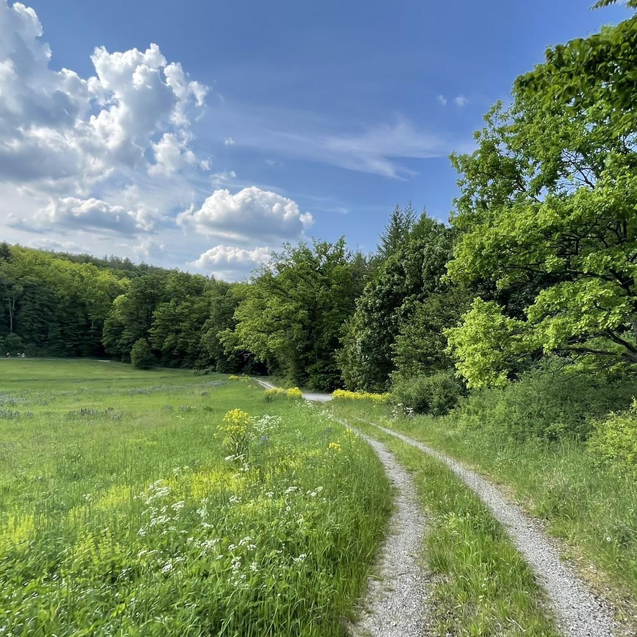
Best mountain peaks around Gramschatzer Wald are characterized by rolling hills and extensive forest areas rather than alpine summits. The region, located northeast of Würzburg, Germany, is known for its predominantly deciduous trees and diverse terrain. It serves as a popular recreational area, offering numerous opportunities for outdoor activities. The highest elevation in the Gramschatzer Wald is the Sternberg, reaching 374 meters.
Best mountain peaks around Gramschatzer Wald
- The most popular mountain peaks is Steinhöhe Summit Cross, a summit that is one of the highest elevations on the eastern slopes of the Main valley north of Würzburg. At 382 meters, it offers a height difference to the Main of about 215 meters.
- Another must-see spot is Breitfeldhöhe Summit and Panoramic Viewpoint, a summit and viewpoint. It provides a wide panorama of Spessart, Rhön, and Steigerwald, with views to the west, north, east, and south.
- Visitors also love Breitfeldhöhe – Highest Point Near Retzbach, a summit and natural monument. This location offers great views in all directions across Franconia.
- Gramschatzer Wald is known for summits, viewpoints, and natural monuments. The area provides a variety of elevations and scenic spots to explore.
- The mountain peaks around Gramschatzer Wald are appreciated by the komoot community, with more than 120 upvotes and 47 photos shared by visitors.
Last updated: July 10, 2026
Steinhöhe Summit Cross
Highlight • Summit
Translated by Google •
Tip by

Breitfeldhöhe Summit and Panoramic Viewpoint
Highlight • Summit
Translated by Google •
Tip by

Sign up now to discover places like this
Get recommendations on the best single tracks, peaks, & plenty of other exciting outdoor places.
Sign up for free
Saupurzel
Highlight • Viewpoint
Translated by Google •
Tip by

Breitfeldhöhe – Highest Point Near Retzbach
Highlight • Summit
Translated by Google •
Tip by
Summit cross on Heßlarer Berg (330 m)
Highlight • Summit
Translated by Google •
Tip by

Start today with a free account
Your next adventure awaits.
Login or Signup
Tips from the Community

The summit cross on Heßlarer Berg (approx. 330 m above sea level) near Karlstadt in Lower Franconia is a popular destination for hikers and offers a panoramic view over the Main Valley. From here, there is an excellent view of Karlstadt as well as the surrounding vineyards and hills of the Franconian Plateau. The rest area at the cross, with tables and benches, is ideally located for a break.
4
0

Summit cross – the highest point above the rooftops of Retzstadt. A bit hidden, but a lovely place to take a break. ☺️
0
0

Beautiful view of the many wind turbines 🥰
0
0

A great view here
2
0

Highest point in the Würzburg district. Orientation stone showing which town is in which direction.
0
0

Very nice surroundings The view is also beautiful, worth it
2
0

At the highest point
2
1
Frequently Asked Questions
What are the highest points or most notable peaks in the Gramschatzer Wald region?
While the Gramschatzer Wald is characterized by rolling hills rather than towering mountains, its highest elevation is the Sternberg, reaching 374 meters. Other notable high points include the Breitfeldhöhe Summit at 387 meters, offering expansive views, and the Steinhöhe Summit Cross at 382 meters, known for its scenic break spot.
Are there family-friendly options for exploring the peaks and high points in Gramschatzer Wald?
Yes, several high points are suitable for families. The Steinhöhe Summit Cross and the Breitfeldhöhe Summit are both categorized as family-friendly. Additionally, the region offers attractions like the Walderlebniszentrum (Forest Adventure Center) and the Barfußpfad (Barefoot Path), which are great for all ages. For specific routes, check out the Family-friendly hikes around Gramschatzer Wald guide.
What kind of views can I expect from the viewpoints in Gramschatzer Wald?
The high points in Gramschatzer Wald offer panoramic views over the surrounding Franconian landscape. From the Breitfeldhöhe Summit, you can see the Spessart, Rhön, Steigerwald, and the Main valley. The Summit cross on Heßlarer Berg provides excellent views of Karlstadt, vineyards, and the Franconian Plateau.
What outdoor activities can I do near the high points of Gramschatzer Wald?
The Gramschatzer Wald is a hub for various outdoor activities. You can enjoy extensive hiking on marked trails, cycling, and mountain biking. The area also features a Kletterwald (Climbing Forest) for adventure seekers. For detailed routes, explore guides like MTB Trails around Gramschatzer Wald, Family-friendly hikes around Gramschatzer Wald, and Road Cycling Routes around Gramschatzer Wald.
Are there specific hiking trails that lead to the high points?
Yes, the Gramschatzer Wald is crisscrossed with numerous marked trails. The Sternberg, as the highest point, is integrated into many hiking routes. You can find trails leading to the Steinhöhe Summit Cross and Breitfeldhöhe Summit. Many of these are part of the 16 designated forest circular hiking trails in the region.
What natural features are prominent in the Gramschatzer Wald?
The Gramschatzer Wald is primarily a large deciduous forest, creating a particularly scenic environment, especially with vibrant foliage in autumn. It's designated as a Fauna-Flora-Habitat (FFH) area, highlighting its ecological importance. You'll find diverse forest terrain and natural monuments like the Breitfeldhöhe.
What is the best time of year to visit Gramschatzer Wald for outdoor activities?
The Gramschatzer Wald is beautiful year-round, but autumn is particularly scenic due to the vibrant colors of the deciduous trees. Spring and summer are ideal for hiking, cycling, and enjoying the outdoor adventure facilities. Even in winter, the forest offers opportunities for peaceful walks, though some facilities might have reduced hours.
Are there places to eat or rest near the trails and high points?
Yes, the Waldhaus Einsiedel is a popular resting point for hikers, featuring a beer garden that offers Bavarian specialties and grilled food in a rustic setting. You'll also find other cafes and pubs in nearby villages surrounding the Gramschatzer Wald.
Is the Gramschatzer Wald accessible for visitors with limited mobility?
Yes, efforts have been made to ensure accessibility. Some trails, such as the 'Sinneswandel' forest adventure trail, are barrier-free, making them accessible to a wider range of visitors. It's advisable to check specific trail conditions if you have particular accessibility needs.
What makes the Saupurzel a unique point of interest?
The Saupurzel is known as the 'local mountain' of Karlstadt. Its name, which translates to 'sow's root' or 'hindquarters of a sow' in Franconian, comes from its distinctive shape visible from a distance. It offers a moderate rise and views towards the Spessart.
Can I find challenging trails in the Gramschatzer Wald?
While the Gramschatzer Wald is not alpine, it offers trails of varying difficulty. Many routes are categorized as 'intermediate,' providing a good workout through rolling hills and diverse forest terrain. For more challenging options, you might explore longer loops or specific mountain biking trails listed in the MTB Trails around Gramschatzer Wald guide.
Most popular routes around Gramschatzer Wald
Most popular attractions around Gramschatzer Wald

Get inspired with the komoot mobile app


Explore more
See even more amazing summits around Gramschatzer Wald with these guides:
