The 6 Most Amazing Peaks around Greußenheim
Best mountain peaks around Greußenheim are found within a gently undulating landscape in the Würzburg district of Bavaria, Germany. The region features elevated areas and hills rather than towering mountains. These locations offer scenic viewpoints and opportunities for outdoor activities. The maximum elevation in Greußenheim is approximately 361 meters above sea level, with an average elevation of 296 meters.
Best mountain peaks around Greußenheim
- The most popular mountain peaks is Steinhöhe Summit Cross, a summit that is one of…
Last updated: July 23, 2026
Steinhöhe Summit Cross
Highlight • Summit
Translated by Google •
Tip by

Zeller Waldspitze
Highlight • Forest
Translated by Google •
Tip by

Sign up now to discover places like this
Get recommendations on the best single tracks, peaks, & plenty of other exciting outdoor places.
Sign up for free
Breitfeldhöhe Summit and Panoramic Viewpoint
Highlight • Summit
Translated by Google •
Tip by

Summit cross on Hemmeri (Locksberg)
Highlight • Summit
Translated by Google •
Tip by

Breitfeldhöhe – Highest Point Near Retzbach
Highlight • Summit
Translated by Google •
Tip by
Sign up for free to discover even more peaks around Greußenheim.
Sign up for free
Already have an account?
Start today with a free account
Your next adventure awaits.
Login or Signup
Tips from the Community

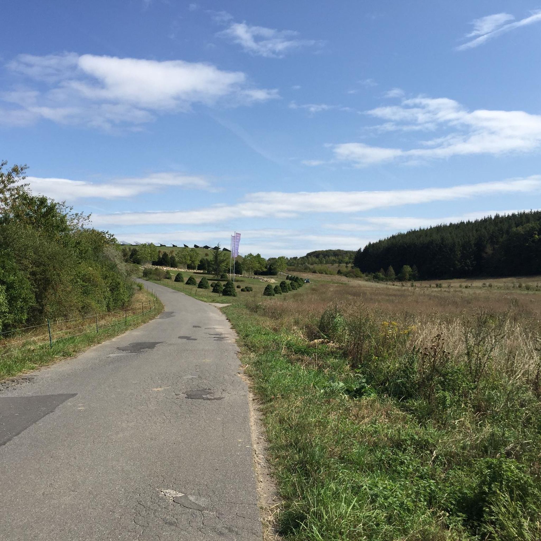
Summit cross – the highest point above the rooftops of Retzstadt. A bit hidden, but a lovely place to take a break. ☺️
0
0

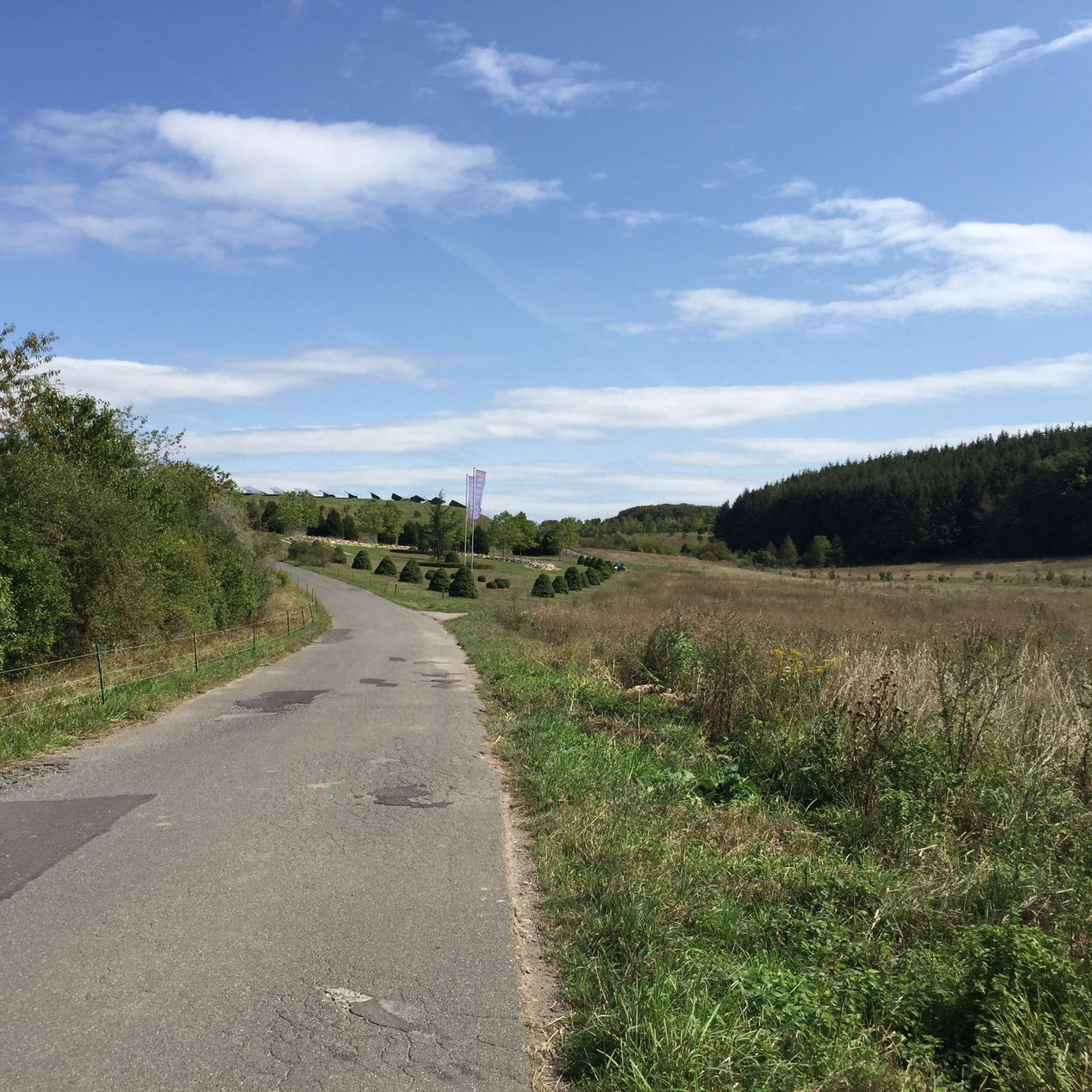
Beautiful view of the many wind turbines 🥰
0
0

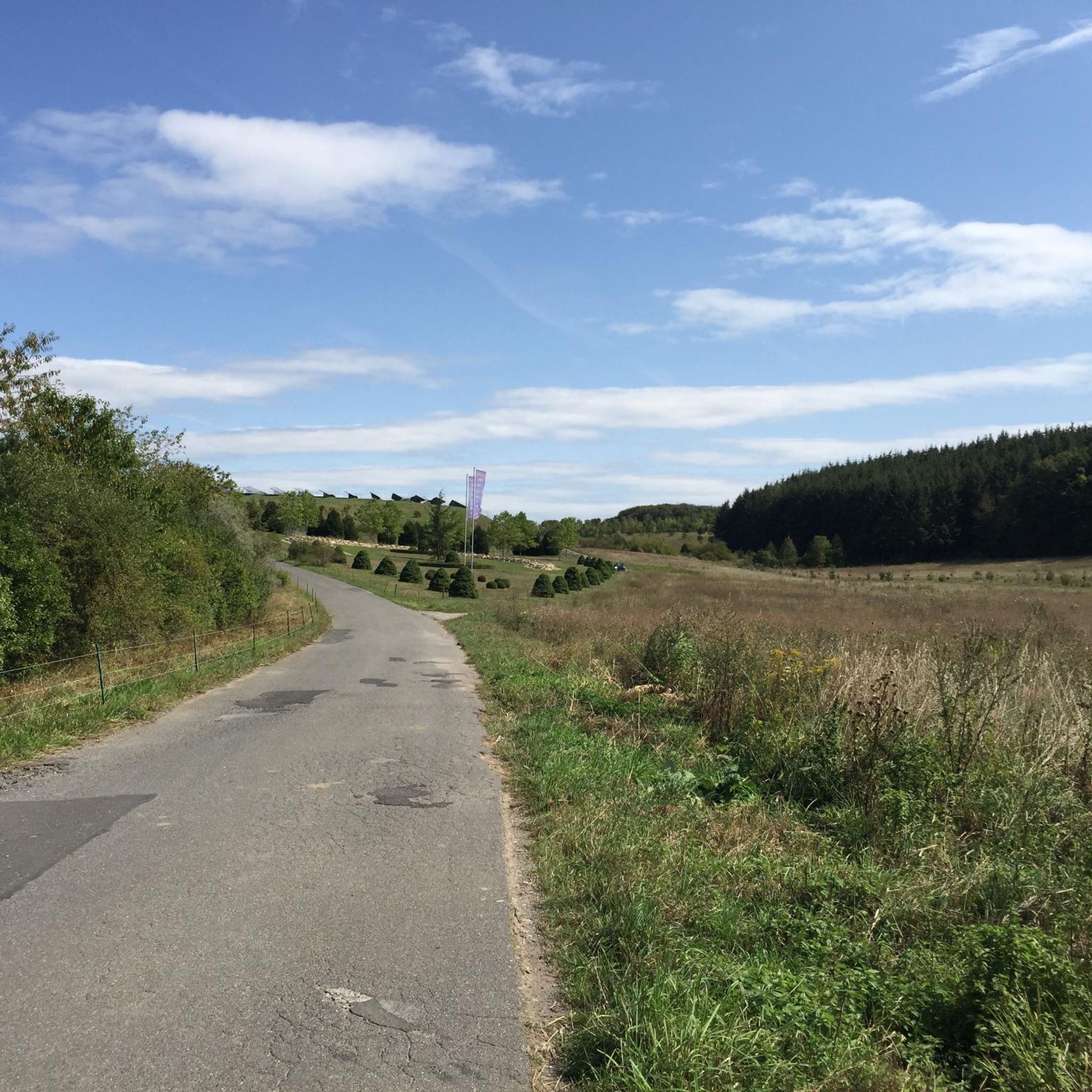
A great view here
2
0

Highest point in the Würzburg district. Orientation stone showing which town is in which direction.
0
0

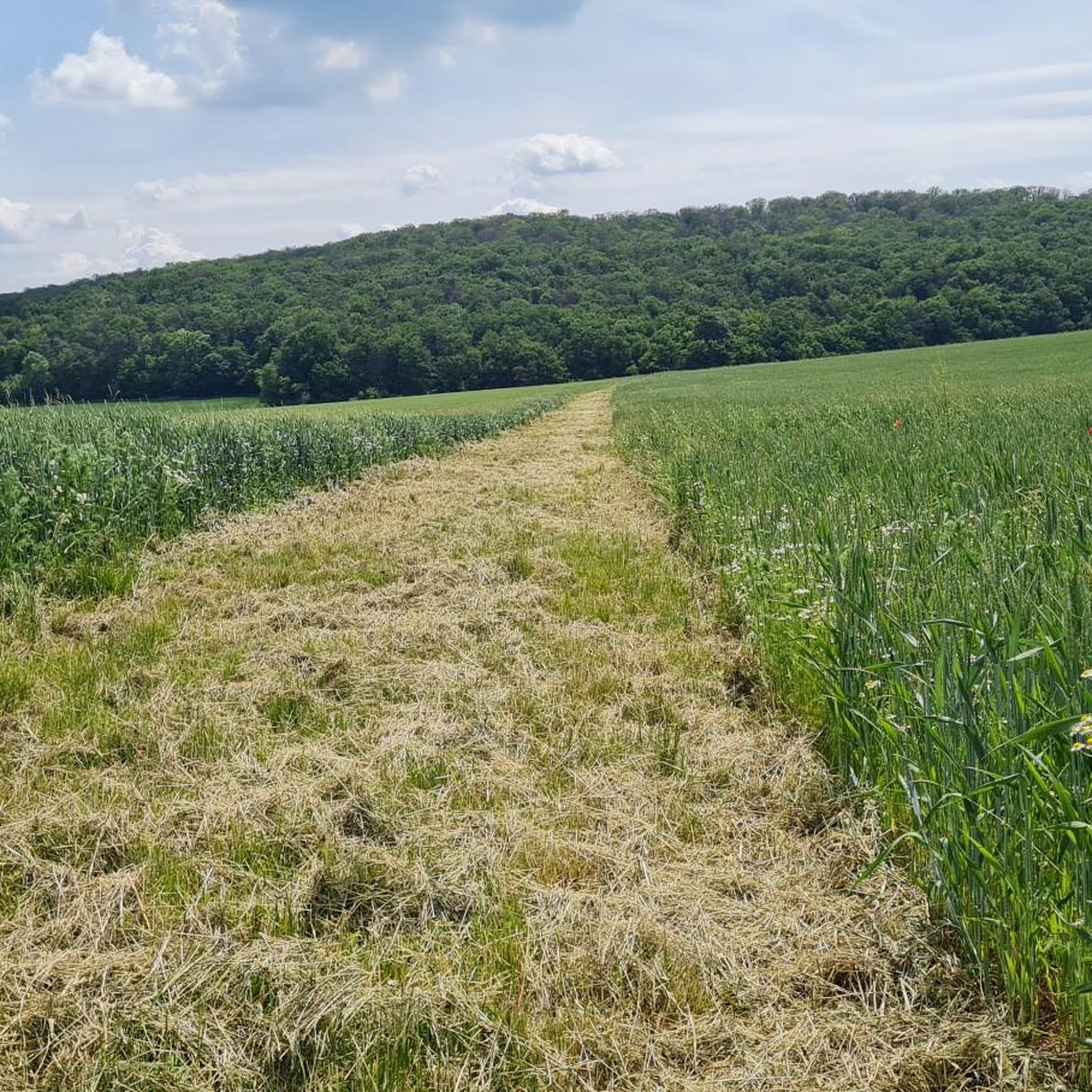
Very nice surroundings The view is also beautiful, worth it
2
0
Unfortunately, the beautiful sign is no longer there after the tree fell over. It was still hanging on the fallen tree for some time.
0
0

Frequently Asked Questions
What kind of elevated areas or 'mountain peaks' can I expect to find around Greußenheim?
Greußenheim is characterized by a gently undulating landscape with elevated areas and hills, rather than towering mountain peaks like the Alps. These locations offer scenic viewpoints and opportunities for outdoor activities. The highest points reach approximately 387 meters above sea level, providing expansive views of the Franconian countryside.
Which elevated points offer the best panoramic views in the Greußenheim area?
For wide-ranging panoramas, consider visiting Breitfeldhöhe Summit and Panoramic Viewpoint. At 387 meters, it's the highest elevation in the Maindreieck and offers views of Spessart, Rhön, and Steigerwald. Another excellent spot is the Summit cross on Hemmeri (Locksberg), which provides a great vantage point, especially for views of the Spessart.
Are there family-friendly elevated areas or trails suitable for beginners around Greußenheim?
Yes, many of the elevated areas and trails around Greußenheim are suitable for families and beginners. Highlights like Steinhöhe Summit Cross and Breitfeldhöhe Summit and Panoramic Viewpoint are categorized as family-friendly. The region's rolling hills are generally ideal for easy to moderate hikes, making them accessible for various fitness levels.
What are some popular hiking trails near Greußenheim's elevated areas?
You'll find several popular hiking trails that lead to or near these elevated points. For an easy and reflective experience, try the GeDANKEweg – Roots – Contemplation Place in the Forest loop from Greußenheim, which features a small elevation gain. You can explore more options on the Hiking around Greußenheim guide.
What is the best time of year to visit the elevated areas around Greußenheim?
The elevated areas and trails around Greußenheim are enjoyable throughout much of the year. Spring and autumn offer pleasant temperatures and beautiful scenery, with blooming wildflowers or vibrant fall foliage. Summer is also great for outdoor activities, while winter can provide a unique experience on snowy paths, though some trails might be less accessible depending on conditions.
Are there any unique natural or man-made features to look out for on these elevated points?
Yes, several elevated points feature interesting elements. The Steinhöhe Summit Cross is notable for its group of wind wheels and a bank perfect for taking a break. Many summit crosses, like the one on Hemmeri (Locksberg), also serve as significant vantage points with seating for visitors.
What do visitors enjoy most about the elevated areas around Greußenheim?
Visitors particularly appreciate the tranquil experiences in nature and the expansive views. Many enjoy the peaceful settings for reflection, the opportunity to take breaks on benches at summit crosses, and the wide panoramas of the surrounding regions like Spessart, Rhön, and Steigerwald. The accessibility of the trails for various fitness levels is also highly valued.
Can I find cycling or mountain biking routes near the elevated areas of Greußenheim?
Absolutely. The region offers various cycling and mountain biking opportunities. For mountain biking, you can find trails like the Erlabrunner Lake – Karlstadt Old Town loop. If you prefer touring, routes such as the Karlstadt’s historic Old Town – Main Bridge, Marktheidenfeld loop are available. Discover more routes on the MTB Trails around Greußenheim and Cycling around Greußenheim guides.
Are there specific parking areas for accessing hiking trails to these elevated points?
While specific parking areas for each individual elevated point are not detailed, hiking routes around Greußenheim generally have accessible starting points. It's advisable to check the details of specific komoot tours for recommended parking locations near the trailheads you plan to explore.
Are dogs allowed on the trails leading to Greußenheim's elevated areas?
Generally, dogs are welcome on most hiking trails in the Greußenheim region, especially those passing through forests and open landscapes. However, it's always recommended to keep dogs on a leash, especially in nature protection areas or near agricultural fields, and to respect local regulations.
What is the highest point in the immediate Greußenheim area?
The highest point in the immediate Greußenheim area is the Breitfeldhöhe Summit and Panoramic Viewpoint, which reaches an elevation of 387 meters. It is also recognized as the highest elevation in the Maindreieck.
Are there any cafes or places to eat near the elevated areas after a hike?
Greußenheim and its surrounding villages offer local cafes and pubs where you can relax and refuel after your outdoor activities. While specific establishments directly at the summit crosses are rare, you'll find options in the nearby towns and municipalities.
Most popular routes around Greußenheim
Most popular attractions around Greußenheim

Get inspired with the komoot mobile app


Explore more
See even more amazing summits around Greußenheim with these guides:
