The 4 Most Amazing Peaks around Munderfing
Whether for the view or for the challenge, climbing the mountainous peaks around Munderfing is the best way to experience more of this beautiful region. But with 4
to choose from, it can be tough to know which peak to proceed with. That’s why we’ve collected the best peaks and summits around Munderfing for you here — so you can easily add one to your next adventure.
Last updated: September 29, 2026
Tannberg Summit Cross
Highlight • Summit
Translated by Google •
Tip by

Kalteis Hut
Highlight • Mountain Hut
Translated by Google •
Tip by

Sign up now to discover places like this
Get recommendations on the best single tracks, peaks, & plenty of other exciting outdoor places.
Turmwirt Lohnsburg am Steiglberg
Highlight • Viewpoint
Translated by Google •
Tip by

Buchberg
Highlight • Summit
Translated by Google •
Tip by

Wartstein War Memorial Summit Cross
Highlight • Monument
Translated by Google •
Tip by

Start today with a free account
Your next adventure awaits.
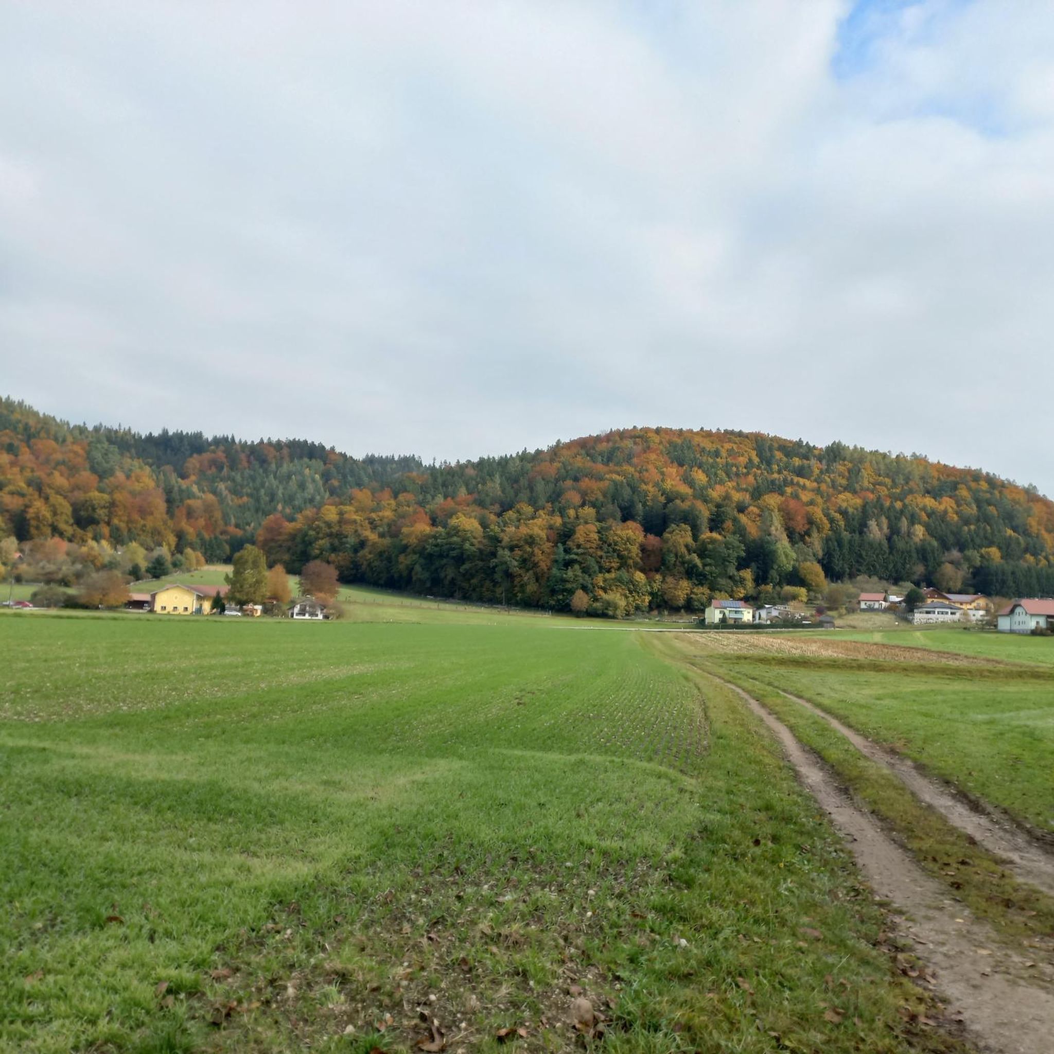
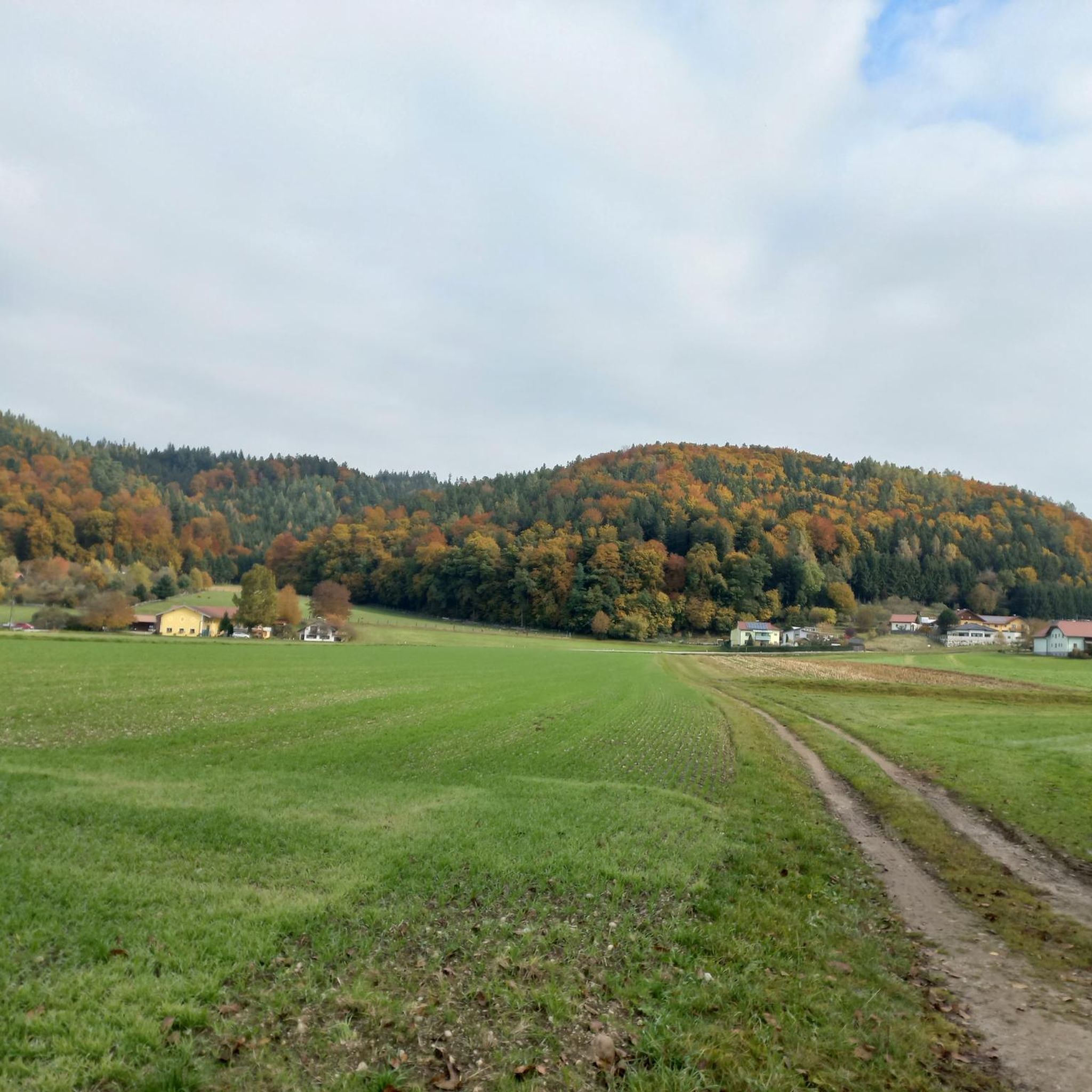
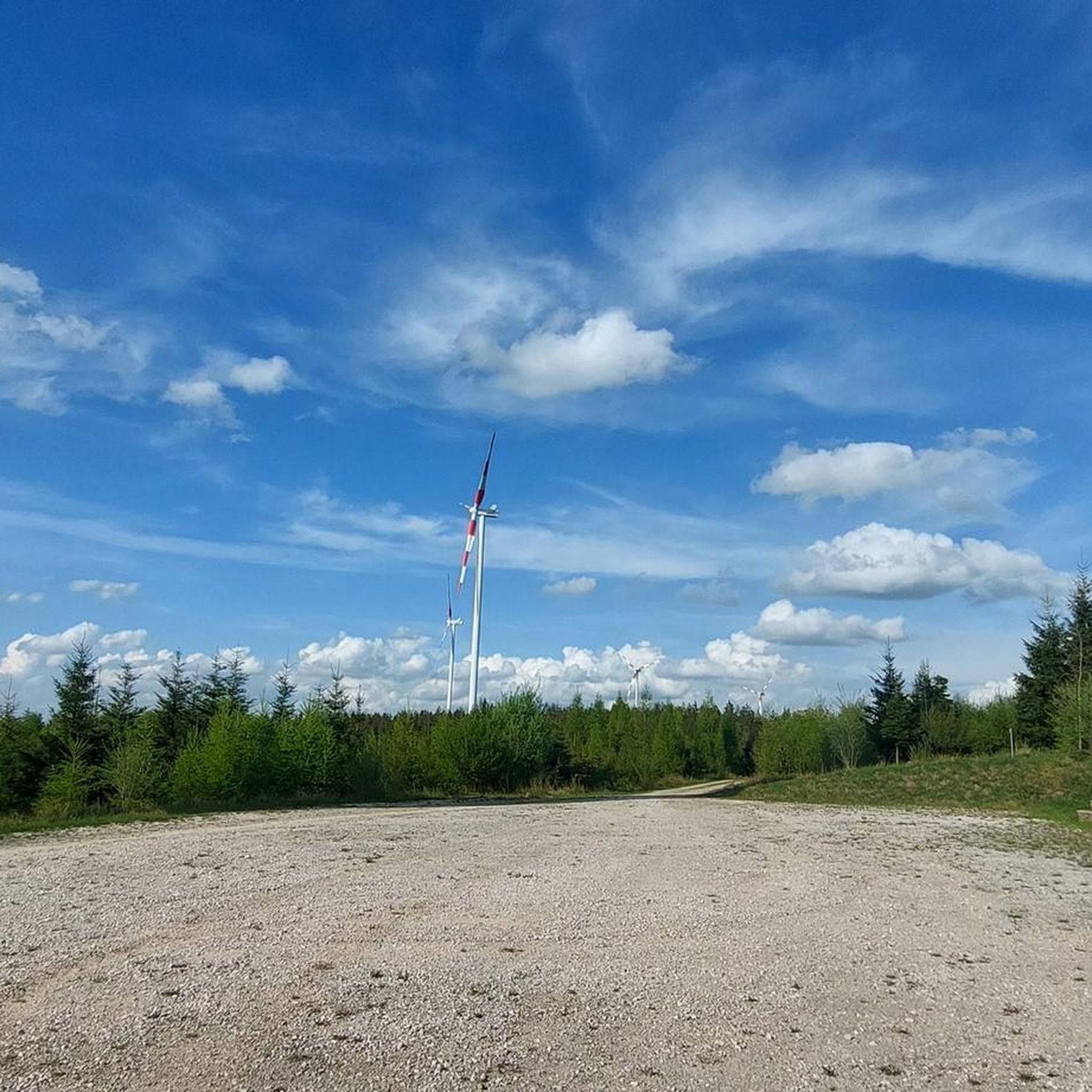
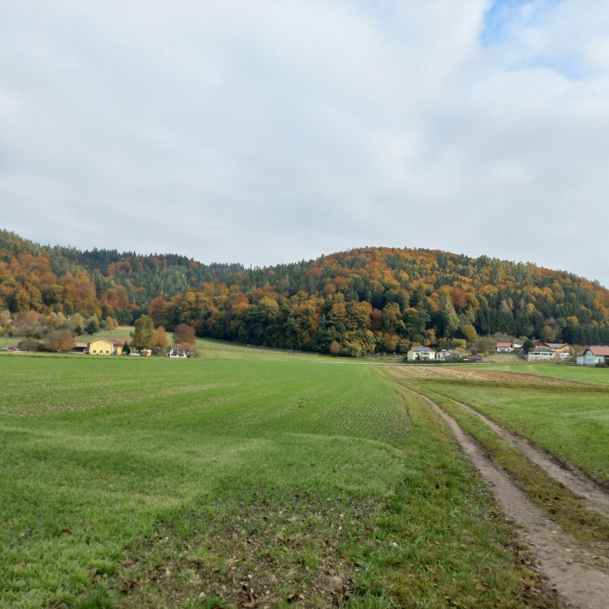

Tips from the Community

A very beautiful hike along the Literature Trail leads from Köstendorf through the beautiful forest up to the summit cross. The view was very rewarding despite the dark rain clouds 🤩👍, and would certainly be even more breathtaking in the sunshine.
1
0


The War Memorial Cross was donated by those who returned home in memory of those who did not return home
1
0

Highest elevation in the Kobernaußerwald (764 m). Unfortunately always a lot of (heavy) traffic
0
0
Highest elevation in the Kobernaußerwald (764 m). Unfortunately always very busy!
0
0

A very beautiful forest area, unfortunately the inn is closed.
1
0


It is a 734 meter high mountain in the Hausruck and Kobernausserwald range in the Hausruckviertel. The summit is in the municipality of Pöndorf. To the northwest, the Rabenbachtal leads to the Hochecker Schwemmbachtal and thus to Mattig and Inn, to the west is the Fornacher Redltal, which drains with the Bruckwiesenbach to the Vöckla and via the Ager to the Traun. The mountain is mostly counted towards the Kobernausserwald, partly also towards the Hausruck – the demarcation of which is seen somewhere in the room. The name is likely to be of Slavic origin, -eis is a typical Windian educational syllable. In the Franciscan cadastre of the 1830s, a small hilltop settlement of Branauer is listed here, as well as an important border tree. There is said to have been an inn here. A single hut still stands today. A chapel is said to have stood nearby even earlier, according to Carl Schütz in 1787, in the south towards Meisterholz there is a St. Wolfgang. It must have fallen into disrepair by the 1830s. The mountain can be reached from all sides on numerous forest roads, through the valleys as well as along the ridges. A forest road also runs along the ridge itself. This makes the area good for hiking and mountain biking
2
0
Most popular routes around Munderfing
Most popular attractions around Munderfing

Get inspired with the komoot mobile app


Explore more
See even more amazing summits around Munderfing with these guides:
