The best road cycling routes around Köthen (Anhalt)
4.6
(126)
1,413
riders
51
rides
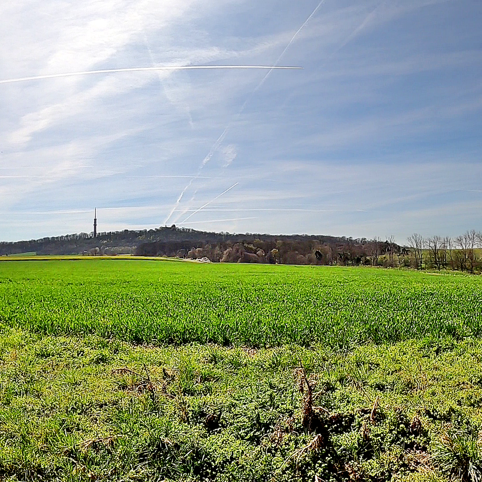
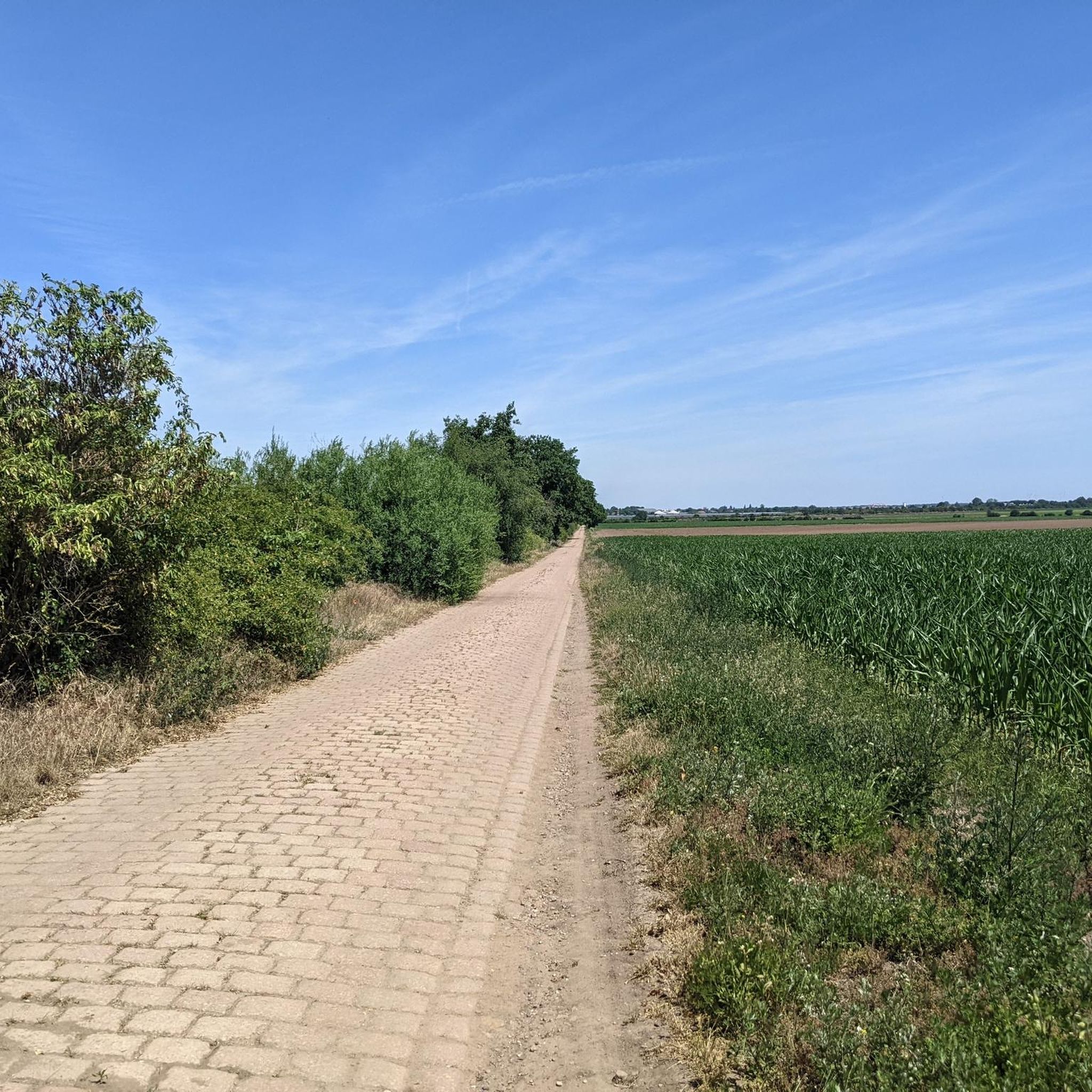
Road cycling around Köthen (Anhalt) features a landscape characterized by rolling hills, expansive meadows, and agricultural plains. The region's elevation generally ranges between 60 and 80 meters above sea level, with subtle undulations providing variety for cyclists. The Fuhne river flows through the area, and Köthen is situated near the edge of the Fläming hills, contributing to its natural diversity. This blend of features offers varied terrain for road cyclists.
Best road cycling routes around Köthen (Anhalt)
- The most popular…
Last updated: May 14, 2026
27
riders
50.5km
02:02
80m
80m
Moderate road ride. Good fitness required. Mostly well-paved surfaces and easy to ride.
5.0
(2)
29
riders
52.8km
02:17
90m
90m
Moderate road ride. Good fitness required. Mostly well-paved surfaces and easy to ride.

Sign up for free
5.0
(1)
28
riders
46.8km
01:57
230m
230m
Moderate road ride. Great for any fitness level. Some segments of this route may be unpaved and difficult to ride.
4.5
(2)
26
riders
19.6km
00:45
40m
40m
Easy road ride. Great for any fitness level. Mostly well-paved surfaces and easy to ride.
3.0
(1)
20
riders
62.7km
02:30
120m
120m
Moderate road ride. Good fitness required. Mostly well-paved surfaces and easy to ride.
Get access to more routes and recommendations from other explorers.
Sign up for free
Already have an account?
Our route recommendations are based on thousands of hikes, rides, and runs completed by other people on komoot.
Start today with a free account
Your next adventure awaits.
Login or Signup
Popular around Köthen (Anhalt)
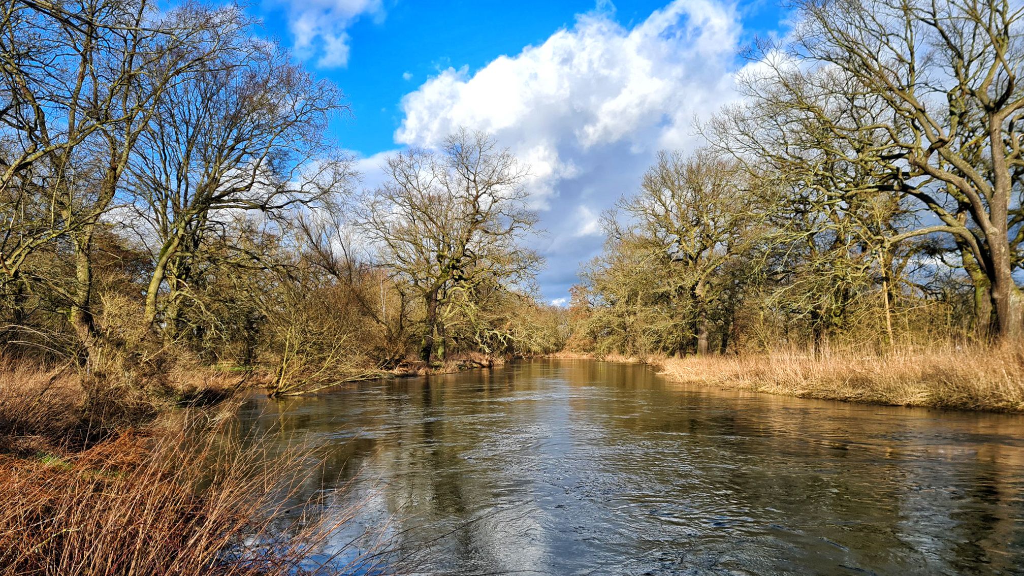
Stage hike 'From the Oder to the Elbe and on to the Saale'
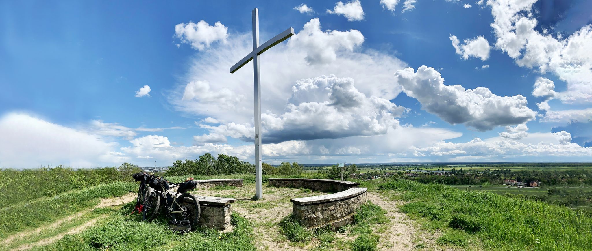
Romanticism on the Elbe River — cycling around the MDV north network
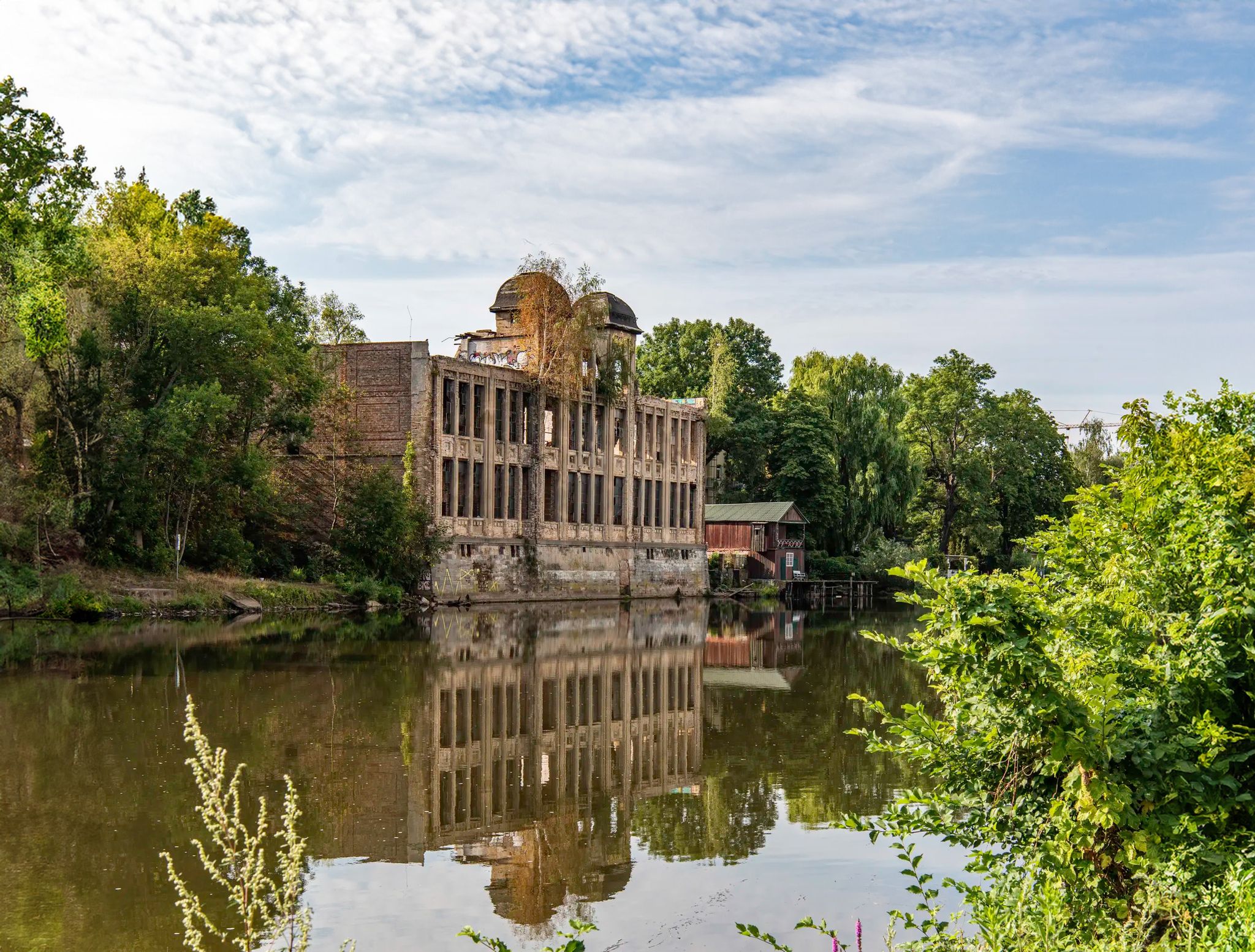
Abandoned and forgotten — mysterious lost places around Leipzig
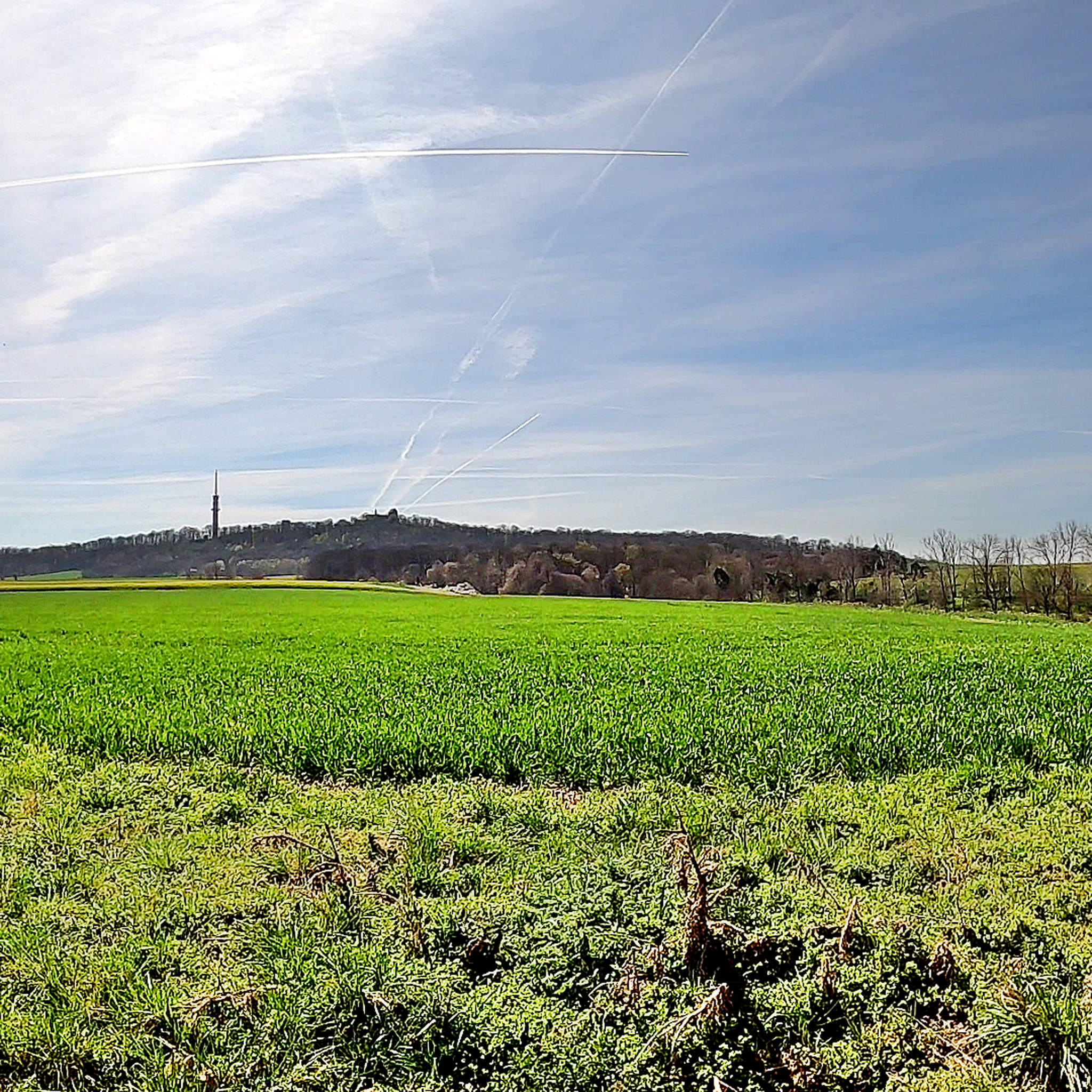
Cycling around Köthen (Anhalt)
Hiking around Köthen (Anhalt)
Running Trails around Köthen (Anhalt)
MTB Trails around Köthen (Anhalt)
Gravel biking around Köthen (Anhalt)
Other adventures around Köthen (Anhalt)


Tips from the Community

Deconsecrated as a place of worship, it still serves as a venue for various events. The altar and organ are located in St. Nicholas Church.
2
0

Roadside cycle path between Köthen and Merzien with asphalt damage. Due to low traffic on weekends, it's best to take the country road despite the mandatory use.
0
0
On weekends, quiet country road L136 between Storkau and Quellendorf with good asphalt
0
0
Quiet country road L136 between Merzien and Storkau. Easy-to-drive asphalt
0
0
Country road between Quellendorf and Kochstedt with good asphalt and hardly any traffic on weekends. The construction site over the bridge no longer exists.
0
0

Evangelical Lutheran Church The church belongs to the Gröbzig parish in the Köthen church district of the Evangelical Church of Anhalt. Since the old village church, like most of the village of Edderitz, had to make way for lignite mining, the foundation stone for the present church was laid in 1953,[11] which was consecrated in 1955.[12] Source: https://de.wikipedia.org/wiki/Edderitz
4
0
In 1958, after more than 100 years, open-cast mining operations at the site were discontinued because the deposits were exhausted. The remaining pit was gradually filled with water.[2] By 1967, the Edderitzer Lake, over 40 hectares in size and up to 41 meters deep, had formed from inflowing groundwater. It initially served primarily as a water reservoir for agriculture, but has also developed into a popular bathing lake.[4] It differs from traditional quarry lakes in its rather unplanned formation. After wild bathing areas had developed along various shores, problems with the embankment became apparent after 1989, presumably caused by the rising water level following the declining water extraction between 1990 and 1992, so large sections of the shore were closed off. From 1998 to 2003, the slopes were secured and a beach restaurant was created in the western area, while the former beaches on the eastern side remained closed.[4] For the reopening on May 15, a "House and Bathing Regulations of the Edderitz Seaside Resort" was published in the official gazette.[5] The lake has good water quality.[6] On the west side of the lake, there is a lido with a 400-meter-long sandy beach, volleyball courts, and a campsite. The lake is used for various water sports such as fishing and diving. A paved circular path surrounds the lake, which is used for hiking, cycling, skating, and summer and winter biathlon. There is also a geological educational garden with over 120 rocks on display and remnants of the open-cast mining history (lorry, water wheel).[7] In 2005, a life-sized "art cow" painted with fins and scales was sunk by the local diving club in Lake Edderitz and anchored at a depth of 25 meters.[8] Source: https://de.wikipedia.org/wiki/Edderitzer_See
4
0
Frequently Asked Questions
What is the typical terrain like for road cycling around Köthen (Anhalt)?
The landscape around Köthen (Anhalt) is characterized by a blend of rolling hills, expansive meadows, and agricultural plains. While the Köthener Ebene is largely flat, with elevations generally between 60 and 80 meters above sea level, it features subtle undulations that add variety to rides. The Fuhne river also flows through the area, and Köthen is situated near the edge of the Fläming hills, contributing to its natural diversity.
What natural features can I expect to see while cycling around Köthen (Anhalt)?
Cyclists can enjoy picturesque views of meadows, fields, and the Fuhne river. The region is also integrated into broader natural areas like the Biosphere Reserve Middle Elbe and the Goitzsche Lake Region, offering diverse natural beauty. For a specific route with varied terrain, consider the Cycle path near Köthen – View from Petersberg loop from Köthen.
Are there any historical landmarks or cultural attractions along the road cycling routes?
Yes, the region is rich in cultural attractions. You can encounter sites like Mosigkau Palace and Gardens, which is featured on the Mosigkau Palace – Köthener Gate Tower, Aken (Elbe) loop from Köthen route. Other notable attractions include Köthen Castle and St. Jakob's Church, adding a cultural dimension to your ride.
When is the best time of year for road cycling in Köthen (Anhalt)?
The region is generally pleasant for cycling from spring through autumn. The mild climate during these seasons makes for comfortable riding conditions across the expansive meadows and plains. Summer offers longer daylight hours, while spring and autumn provide vibrant natural scenery.
Are there family-friendly road cycling routes suitable for all ages?
Yes, Köthen (Anhalt) offers several easy road cycling routes that are suitable for families. For instance, the Cycle path near Köthen – Edderitz Beach loop from Köthen (Anhalt) is an easy 19.6 km route, perfect for a relaxed family outing.
Can I bring my dog on road cycling routes around Köthen (Anhalt)?
While road cycling routes are generally designed for speed and smooth surfaces, some quieter paths might be suitable for dogs if they are accustomed to running alongside a bicycle. However, it's always best to keep dogs on a leash and be mindful of other cyclists and agricultural areas. Specific dog-friendly amenities on road cycling routes are not widely advertised.
Are there places to stop for refreshments or accommodation along the routes?
Yes, the region offers various places of interest, including cafes and restaurants, especially in towns and villages along the routes. For example, the Georgsburg Restaurant on the Saale Cycle Path is a known stop. Many routes pass through communities where you can find refreshments and, for longer tours, accommodation options.
What long-distance cycling routes pass through Köthen (Anhalt)?
Köthen (Anhalt) is well-integrated into a network of long-distance cycling routes. The Europaradweg R1 (D3), a significant European cycle route, runs directly through Köthen, connecting diverse landscapes. Another themed route, 'Routes to Luther,' also passes through the area, linking historical sites.
What do other road cyclists enjoy the most about road cycling in Köthen (Anhalt)?
The area is highly rated by the komoot community, with an average score of 4.5 stars from over 20 reviews. Cyclists often praise the varied terrain, which includes agricultural plains, rolling hills, and river valleys, as well as the opportunity to discover cultural attractions and 'hidden gems' along the way.
Are there any routes that include unique experiences like ferry crossings?
Yes, for a unique experience, consider the Aken (Elbe) Ferry – Burgtor Tower in Aken (Elbe) loop from Köthen. This moderate 50.7 km route features a ferry crossing at Aken Ferry on the Elbe River and historical landmarks, offering a memorable ride.
How many road cycling routes are available around Köthen (Anhalt)?
There are over 50 road cycling routes available around Köthen (Anhalt) on komoot, catering to various preferences and skill levels. These routes range from easy to moderate, ensuring there's something for every road cyclist.
Are there any challenging road cycling routes in the region?
While the Köthener Ebene is generally flat, some routes offer more elevation gain through subtle undulations and connections to areas like the Fläming hills. Most routes are classified as easy or moderate, providing enjoyable rides without extreme climbs. For a moderate challenge, the Calbe–Wispitz Scenic Road – Saale Red Arch Bridge loop from Köthen covers over 62 km with some elevation changes.
Most popular routes around Köthen (Anhalt)
Most popular attractions around Köthen (Anhalt)

Get inspired with the komoot mobile app


Explore more
Browse the best Road cycling routes in other regions.
