The best walks and hikes around Kopfing im Innkreis
4.4
(237)
1,209
hikers
58
hikes
Hiking around Kopfing im Innkreis offers routes through a landscape characterized by gentle hills, lush forests, and green meadows. Situated on the southern slope of the Sauwald, the region provides diverse terrain with panoramic views extending across the Innviertel and towards the Salzkammergut. The area features woodlands and open spaces, with the Haugstein Summit reaching 895 meters above sea level.
Best hiking trails around Kopfing im Innkreis
- The most popular hiking route is Mystical Rock Formation – Ameisberg Summit (729 m) loop from Kopfing im Innkreis, a 9.6 miles (15.4 km) trail that takes 4 hours 27 minutes to complete. This moderate route includes the Ameisberg Summit and unique rock formations.
- Another top favourite among local hikers is Boundary Stone of 1731 – Franzosenkreuz in Kühberg loop from Kopfing im Innkreis, a moderate 7.0 miles (11.2 km) path. This route explores historical markers and the rural scenery of Kühberg.
- Local hikers also love the Parish Church of Kopfing – Tiefenbach Stream loop from Kopfing im Innkreis, a 5.2 miles (8.4 km) trail leading through local landmarks and along the Tiefenbach Stream, often completed in about 2 hours 21 minutes.
- Hiking around Kopfing im Innkreis is defined by gentle hills, lush forests, and panoramic views across the Innviertel. The network offers options for various ability levels, from relaxed strolls to more demanding routes.
- The routes in Kopfing im Innkreis are highly rated by the komoot community with an average score of 4.4 stars from over 230 reviews. More than 1200 hikers have used komoot to explore Kopfing im Innkreis's varied terrain.
Last updated: May 15, 2026
4.6
(16)
66
hikers
Moderate hike. Good fitness required. Easily-accessible paths. Suitable for all skill levels.
4.9
(15)
49
hikers
Moderate hike. Good fitness required. Easily-accessible paths. Suitable for all skill levels.

Sign up for free
4.8
(5)
30
hikers
8.40km
02:21
160m
160m
Moderate hike. Good fitness required. Easily-accessible paths. Suitable for all skill levels.
5.0
(6)
26
hikers
Moderate hike. Good fitness required. Easily-accessible paths. Suitable for all skill levels.
3.7
(7)
18
hikers
5.58km
01:35
130m
130m
Easy hike. Great for any fitness level. Easily-accessible paths. Suitable for all skill levels.
Get access to more routes and recommendations from other explorers.
Sign up for free
Already have an account?
Our route recommendations are based on thousands of hikes, rides, and runs completed by other people on komoot.
Start today with a free account
Your next adventure awaits.
Login or Signup
Popular around Kopfing im Innkreis

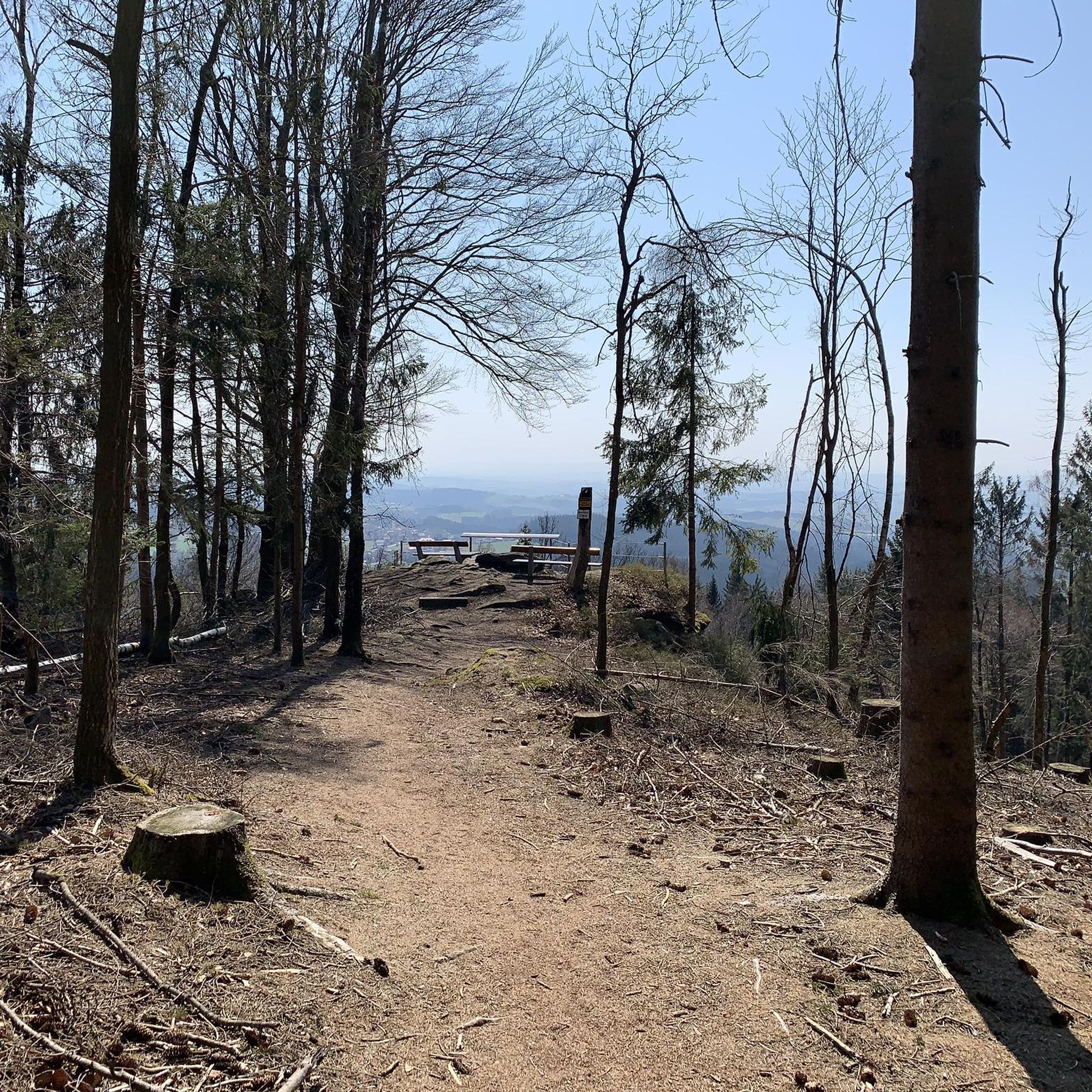
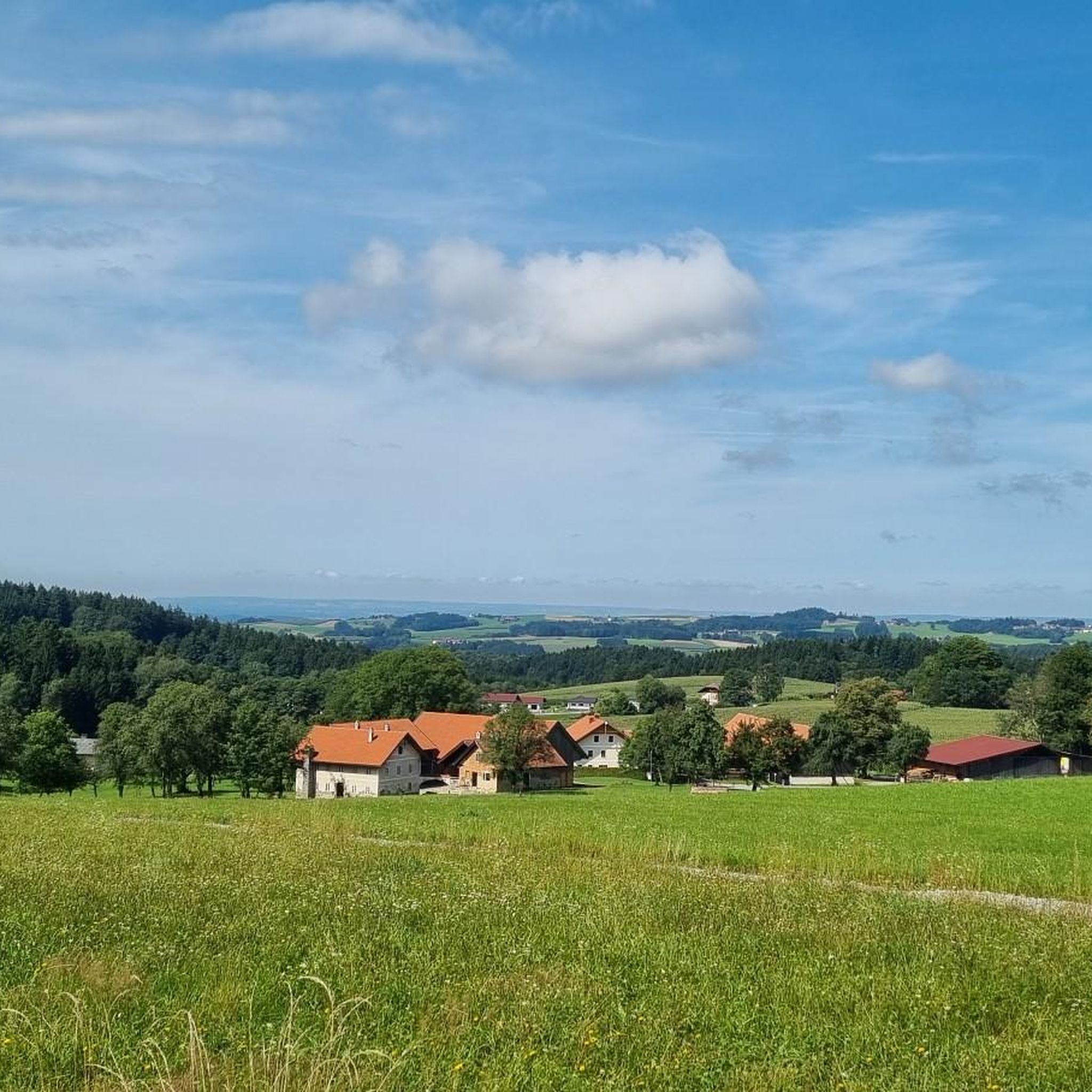
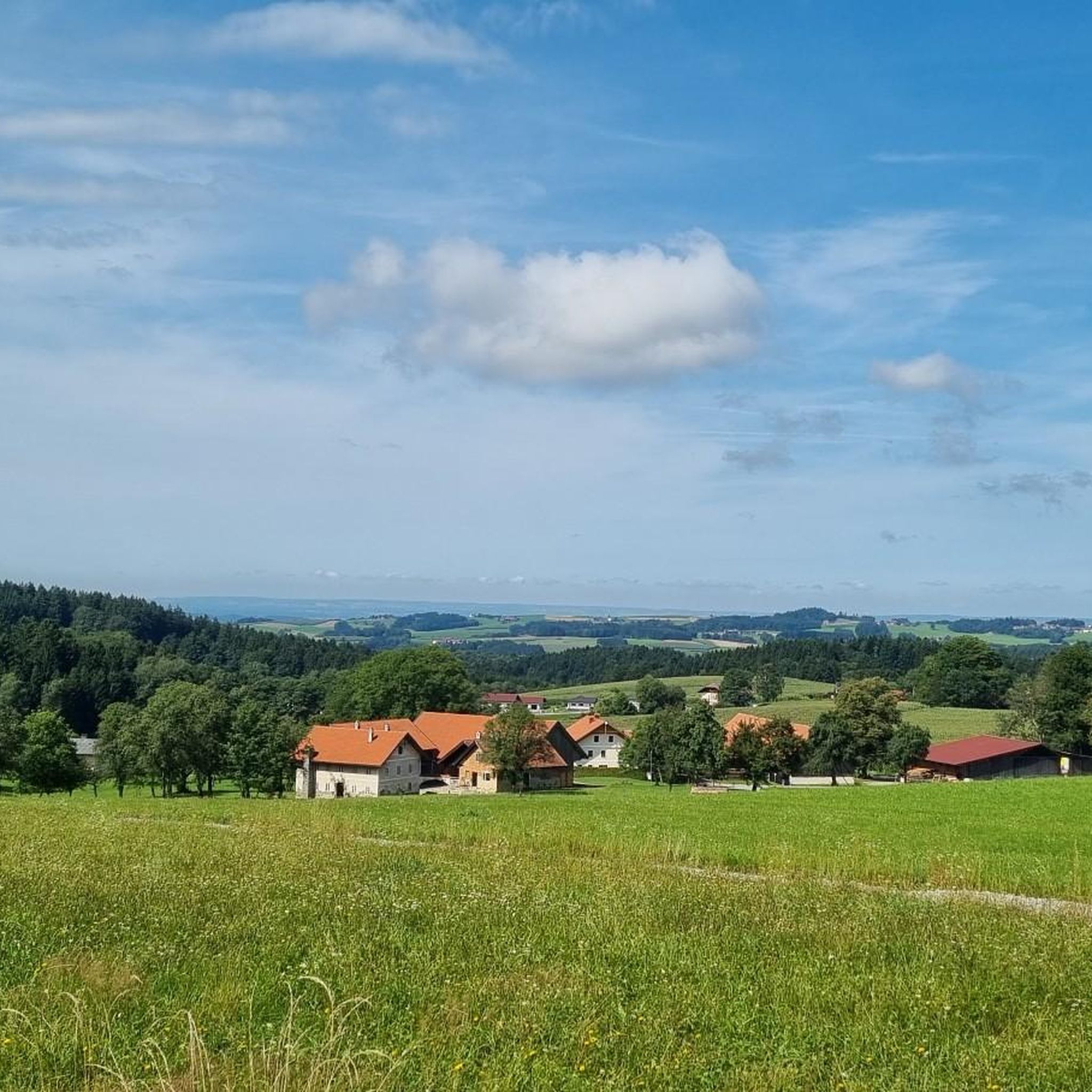
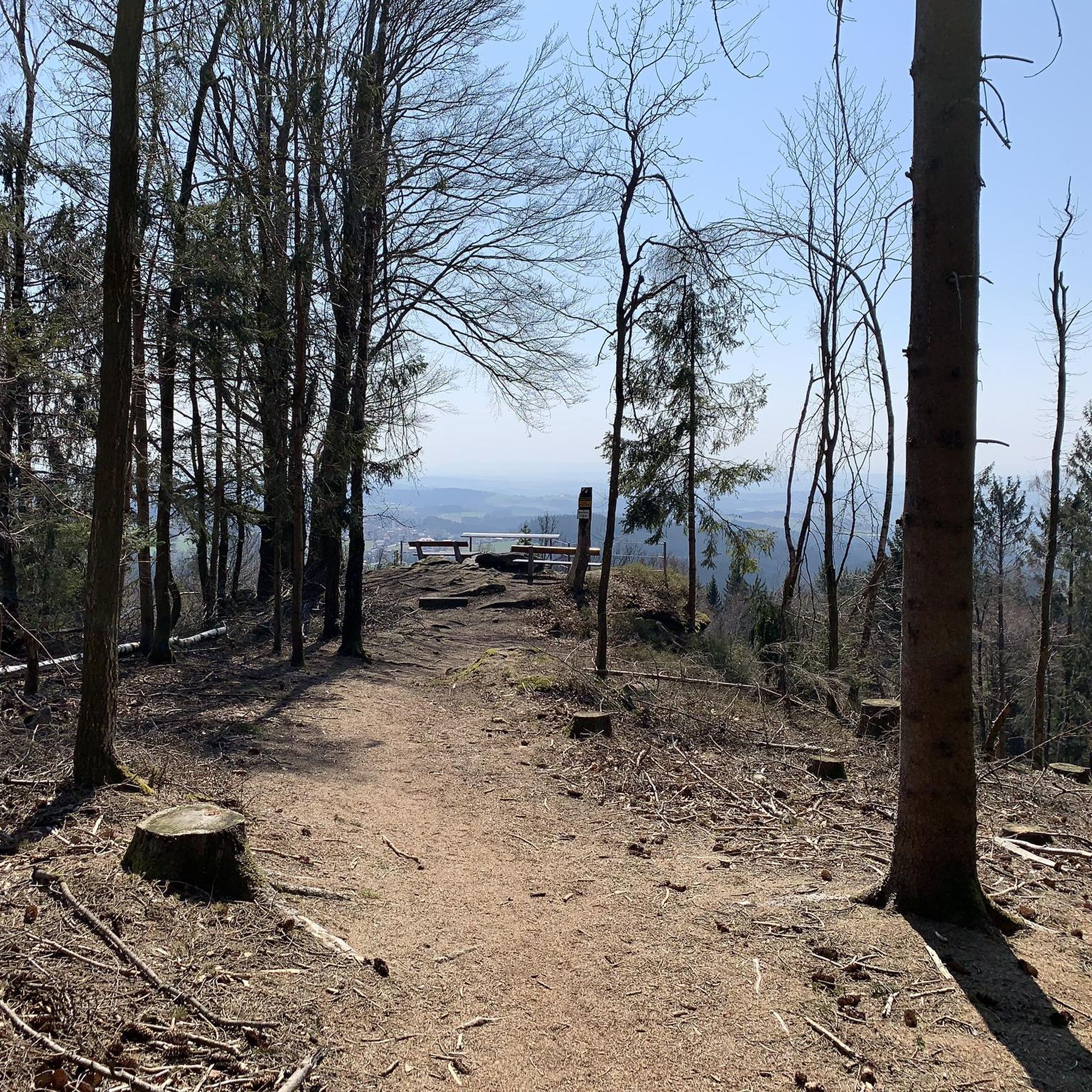


Other adventures around Kopfing im Innkreis

Tips from the Community

The Roman Catholic parish church of Kopfing is located in the village of Kopfing im Innkreis in the market town of Kopfing im Innkreis in the district of Schärding in Upper Austria. The church, dedicated to the saints John the Baptist and John the Evangelist,
0
0
very beautiful chapel on the hiking trail between Neukirchendorf and Dobl
0
0
Stream without a bridge from Kimleinsdorf to Neukirchendorf (drone has an easy time crossing)
0
0
Hiking trail no. 7 Doblrund single trail from Dobl to Götzendorf
0
0
Hiking trail no. 3 Single trail to Tiefenbach in Dobl
0
0
Beautiful chapel in Dobl on hiking trail no.3 View into the country
0
0
Beautiful chapel in Neukichendorf, but unfortunately locked
0
0
Der Tiefenbach zwieschen Kimleinsdorf und Neukirchendorf
0
0
Frequently Asked Questions
How many hiking trails are available in Kopfing im Innkreis?
Kopfing im Innkreis offers a diverse network of over 50 hiking trails. These routes range from easy strolls through gentle hills and meadows to more moderate paths exploring the lush forests of the Sauwald.
What is the best time of year for hiking in Kopfing im Innkreis?
The most enjoyable times for hiking in Kopfing im Innkreis are typically spring and autumn. Spring brings nature to life with blooming flora, while autumn offers pleasant weather and vibrant fall colors, making for picturesque walks.
What kind of terrain can I expect on hikes around Kopfing im Innkreis?
Hikes around Kopfing im Innkreis feature a varied landscape of gentle hills, lush forests, and green meadows. You'll find tranquil woodlands and open spaces, with some routes offering panoramic views across the Innviertel, Salzkammergut, and even towards the Alps on clear days.
Are there any easy hiking trails suitable for beginners or casual walkers?
Yes, Kopfing im Innkreis has plenty of options for beginners and those seeking a relaxed walk. Over 30 of the trails are rated as easy, providing accessible paths through the scenic countryside. An example is the Ameisberg Summit (729 m) – Mystical Rock Formation loop from Großfasching, which is an easy 5.6 km route.
What do other hikers say about the trails in Kopfing im Innkreis?
The hiking trails in Kopfing im Innkreis are highly regarded by the komoot community, with an average rating of 4.4 stars from over 230 reviews. Hikers often praise the well-maintained paths, the tranquil forest environments, and the stunning panoramic views that can be enjoyed throughout the region.
Are there family-friendly hiking options in Kopfing im Innkreis?
Absolutely. The region is well-suited for families. The Parish Church of Kopfing – Tiefenbach Stream loop from Kopfing im Innkreis is a moderate 8.4 km route that leads through local landmarks and along the Tiefenbach Stream. Additionally, the Naturlehrpfad Kopfinger Au offers an educational and interactive experience for children along the Inn River.
Can I bring my dog on the hiking trails in Kopfing im Innkreis?
Many trails in Kopfing im Innkreis are dog-friendly, allowing you to explore the beautiful landscapes with your canine companion. It's always recommended to keep your dog on a leash, especially in nature protection areas or near livestock, to ensure a safe and enjoyable experience for everyone.
Are there circular hiking routes in Kopfing im Innkreis?
Yes, Kopfing im Innkreis offers a variety of well-marked circular hiking routes. Most of the trails are designed as loops, allowing you to start and end your hike at the same point without retracing your steps. An example is the Yolates Trail Kopfling – Jungfraustein Natural Monument loop from Kopfing im Innkreis.
What natural landmarks or viewpoints can I discover while hiking?
While hiking, you can discover several natural landmarks and enjoy breathtaking viewpoints. The Haugstein Summit (895 m), the highest point in the Sauwald, offers challenging ascents and rewarding views. You can also find the unique Jochenstein rock island near the German-Austrian border, a natural monument in the Danube.
Are there any unique attractions near the hiking trails?
Yes, Kopfing im Innkreis is home to the renowned Baumkronenweg (Treetop Walk), one of the longest treetop walks globally. It offers a unique perspective of the forest from up to 15 meters above ground, with adventure stations and a 40-meter-high adventure tower. Schloss Neuburg, a 16th-century castle, also provides splendid views and can be incorporated into a hike.
Where can I find hikes with significant elevation gain for a challenge?
For hikers seeking more challenging routes with significant elevation gain, the region around Kopfing im Innkreis, particularly within the Sauwald, offers options. The Mystical Rock Formation – Ameisberg Summit (729 m) loop from Kopfing im Innkreis, for example, includes a climb of over 380 meters, providing a good workout and rewarding views from the Ameisberg Summit.
Are there any cultural or historical sites to visit during a hike?
Yes, you can combine your hike with visits to cultural and historical sites. The Boundary Stone of 1731 – Franzosenkreuz in Kühberg loop from Kopfing im Innkreis explores historical markers. Additionally, the Glatzinger Bründl pilgrimage church and Schloss Neuburg offer cultural stops with historical significance and beautiful architecture.
Is hiking possible in Kopfing im Innkreis during winter?
While the best times for hiking are spring and autumn, some trails in Kopfing im Innkreis may be accessible for winter walks, especially the easier, lower-elevation paths. However, conditions can vary, so it's advisable to check local weather forecasts and trail conditions before heading out, and be prepared for snow or ice.
Most popular routes around Kopfing im Innkreis
Most popular attractions around Kopfing im Innkreis

Get inspired with the komoot mobile app


Explore more
Browse the best Hikes in other regions.
