The 7 Most Amazing Peaks around Laverton
Best mountain peaks around Laverton, Western Australia, are characterized by a semi-arid desert landscape rather than traditional towering peaks. The region features spinifex plains, mulga woodlands, and distinctive geological formations such as granite rock outcrops and breakaways. These elevated natural features provide scenic vistas and insights into the area's geology. Laverton itself has an elevation of 461 meters.
Best mountain peaks around Laverton
- The most popular mountain peaks is How Hill and St. Michael's Church, a religious building that…
Last updated: May 9, 2026
How Hill and St. Michael's Church
Highlight • Religious Site
Tip by

High Crag Ridge Trig Point
Highlight • Natural Monument
Tip by

Sign up now to discover places like this
Get recommendations on the best single tracks, peaks, & plenty of other exciting outdoor places.
Sign up for free
Far Comb Hill
Highlight • Viewpoint
Tip by

Riva Hill Summit
Highlight • Viewpoint
(Hill ID: 512335) [JNSA s11332]
County of Yorkshire Definitive List summit.
Nidderdale National Landscape Definitive List summit.
Tip by

Rain Stang Trig Point
Highlight • Viewpoint
Tip by

Sign up for free to discover even more peaks around Laverton.
Sign up for free
Already have an account?
Start today with a free account
Your next adventure awaits.
Login or Signup

Tips from the Community

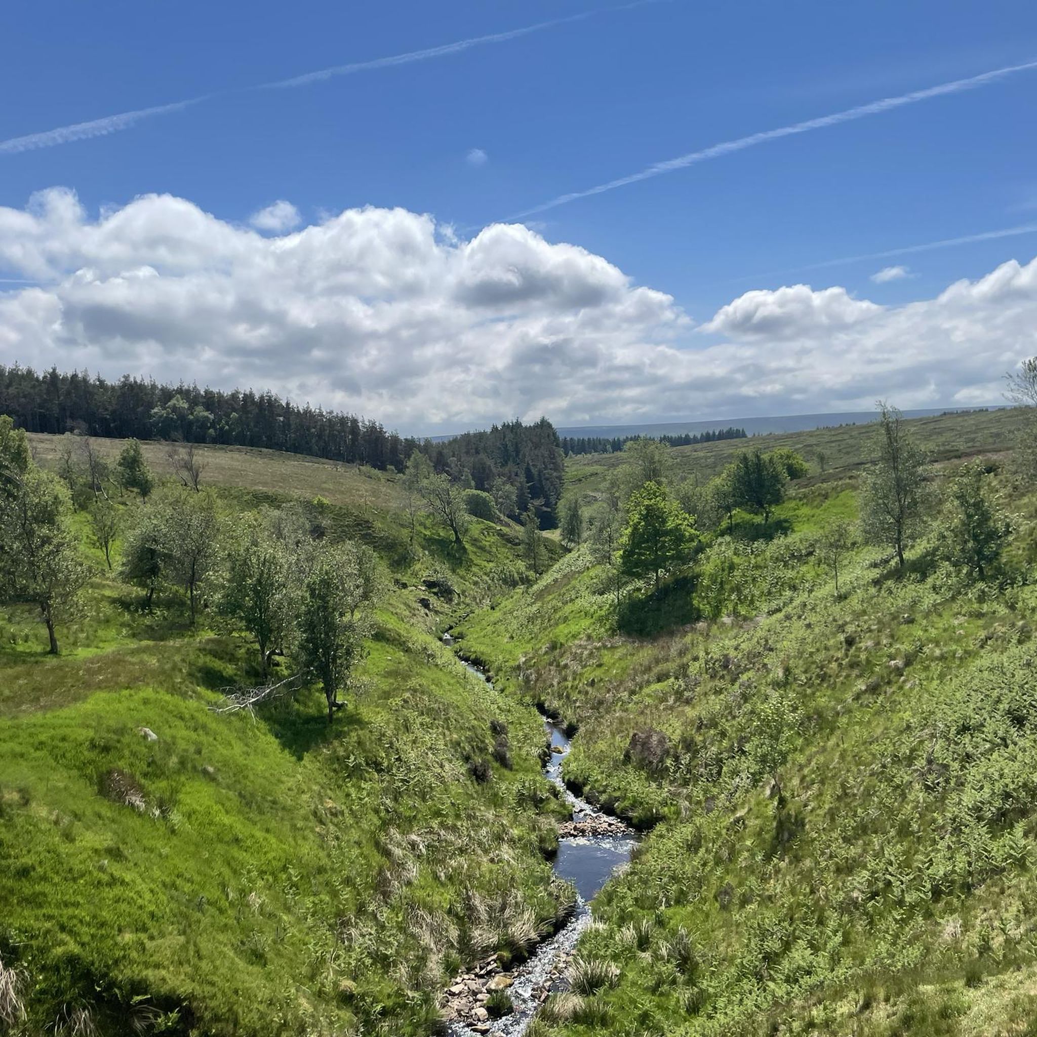
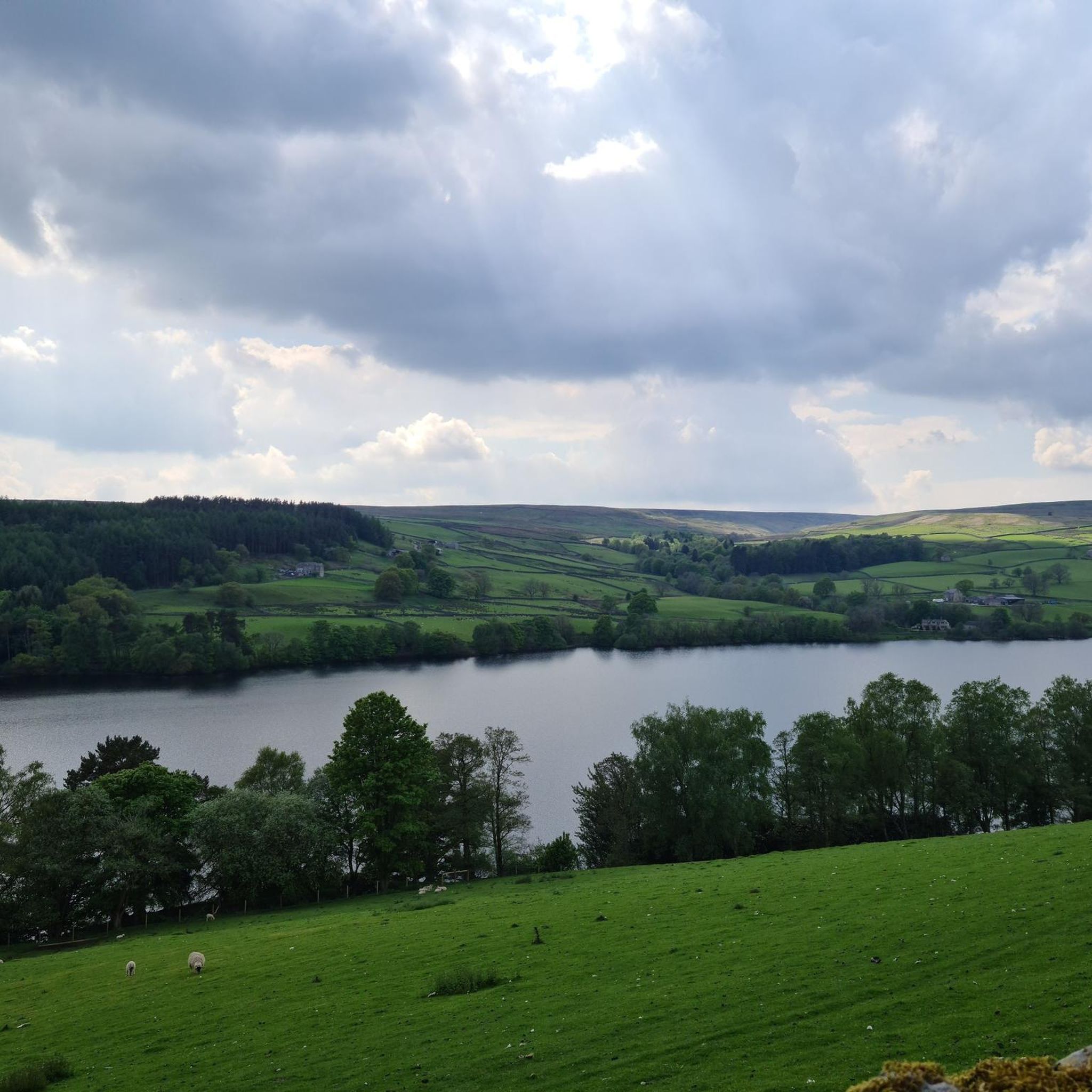
Great panoramic views all around, and on a clear day you can see all the way to the head of Nidderdale and Great Whernside to the northwest.
1
0
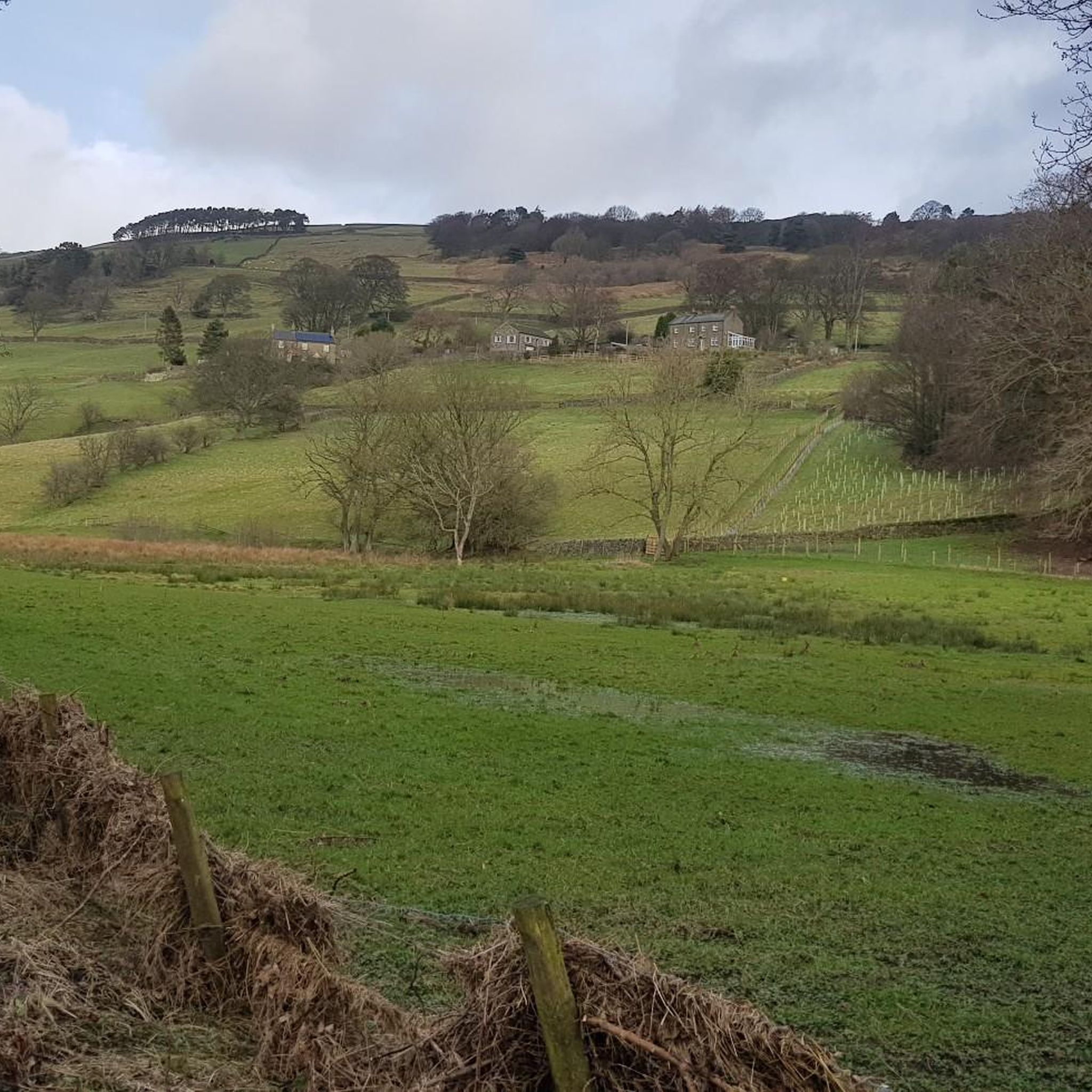
Great views of the moorland to the north, and fairly easy tracks traverse this area on the route around Thruscross Reservoir.
1
0

Riva Hill 245.6m P15.6 (806ft) (Hill ID: 512335) [JNSA s11332] County of Yorkshire Definitive List summit. Nidderdale National Landscape Definitive List summit.
0
0


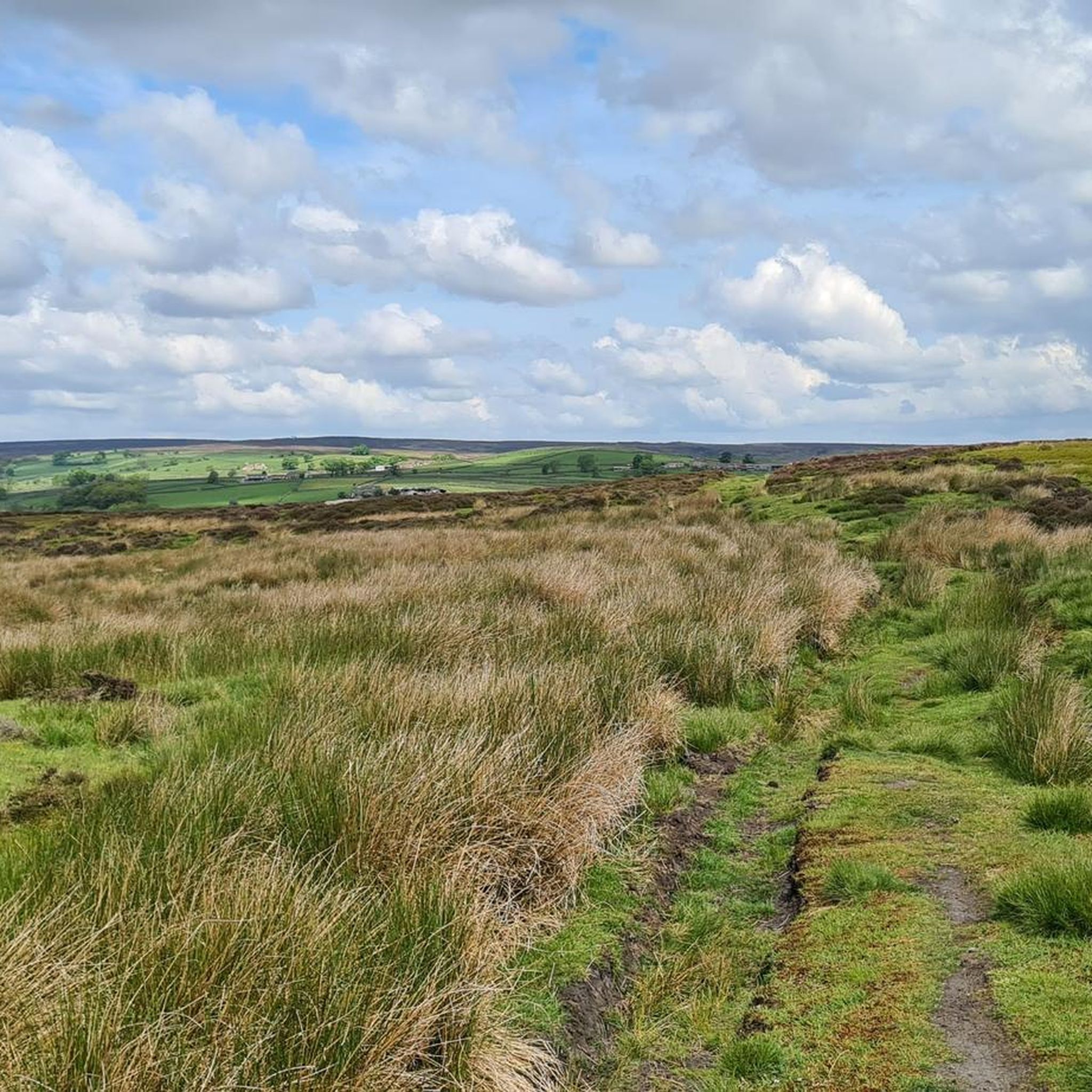
It's Nidderdale, but it sure feels like you were in the actual Dales. The wind-swept, heather-surrounded summit (453m) gives fantastic views, particularly of Little Whernside, but look in any direction and you will be happy.
1
0
TP3758 - Heyshaw Moor County of Yorkshire Trig Pillar
0
0

Beautiful country lanes. A nice to approach Harrogate.
0
0

Frequently Asked Questions
What kind of 'mountain peaks' can I expect to find around Laverton?
Laverton, located in the Goldfields region of Western Australia, features a semi-arid desert landscape rather than traditional towering mountain peaks. You'll find distinctive geological formations such as granite rock outcrops, 'breakaways' (steep-sided hills or mesas), and elevated viewpoints that offer scenic vistas and insights into the area's geology.
Are there any significant elevated viewpoints or natural features to visit near Laverton?
Yes, several elevated features offer unique views. The Windarra Mine Site Lookout, about 28 kilometers from Laverton, provides panoramic views over the historic mine site. Additionally, the landscape along White Cliffs Road is dotted with numerous 'breakaways,' which are interesting geological formations, and the region is known for its ancient granite rock outcrops.
What is the best time of year to explore the elevated features around Laverton?
Given Laverton's semi-arid desert climate, the cooler months are generally more comfortable for exploration. Late autumn, winter, and early spring (roughly April to October) offer milder temperatures, making outdoor activities more enjoyable.
What should I wear for exploring the elevated features in the Laverton area?
Even in cooler months, the desert sun can be intense. It's advisable to wear lightweight, breathable clothing, a wide-brimmed hat, and sturdy closed-toe shoes. Always carry plenty of water, sunscreen, and insect repellent. Layers are recommended for temperature fluctuations between day and night.
Are there any historical sites associated with the elevated features in the region?
The Windarra Mine Site Lookout is a significant historical location, offering views over the site of the 1969 Poseidon Nickel Boom. The remaining main mining structures are visible from the lookout. Additionally, many of the ancient granite rock outcrops in the Shire of Laverton hold cultural significance for local Aboriginal people.
What kind of wildlife can I expect to see around the elevated areas near Laverton?
The semi-arid environment supports unique desert wildlife. You might encounter various bird species, reptiles, and marsupials adapted to the arid conditions. Early mornings and late afternoons are often the best times for wildlife spotting.
Are there any family-friendly spots among the elevated features?
Exploring the 'breakaways' along White Cliffs Road or visiting the Windarra Mine Site Lookout can be suitable for families, offering unique geological sights and historical context. Always ensure children are supervised, especially around elevated areas, and carry sufficient water and sun protection.
What are 'breakaways' and where can I see them near Laverton?
'Breakaways' are distinctive geological formations, essentially steep-sided hills or mesas formed by erosion. They offer interesting visual features and geological insights. You can find numerous breakaways along White Cliffs Road, which leads from Laverton.
Where can I find more information about Laverton and its attractions?
For more details on Laverton and its local attractions, you can visit the official Shire of Laverton website at laverton.wa.gov.au.
What is the elevation of Laverton itself?
The town of Laverton is situated at an elevation of 461 meters (1,512 ft) above sea level.
Are there any specific trails or routes for exploring the granite rock outcrops?
While there aren't specific named 'mountain peak' trails in the traditional sense, the region's granite rock outcrops are often accessible for exploration. These ancient formations stand out from the surrounding plains and can be explored on foot, offering unique natural scenery. Always be prepared for off-road conditions and ensure you have appropriate navigation and supplies.
Most popular attractions around Laverton

Get inspired with the komoot mobile app


Explore more
See even more amazing summits around Laverton with these guides:
