Moor House National Nature Reserve
Moor House National Nature Reserve
The 3 Most Amazing Peaks in Moor House National Nature Reserve
Best mountain peaks in Moor House National Nature Reserve are found within the North Pennines, featuring a landscape of expansive moorlands and notable peaks. This region offers insights into its geology, ecology, and history. The peaks provide challenging ascents and panoramic views across the surrounding areas. The reserve is characterized by its high-altitude environment and unique natural features.
Best mountain peaks in Moor House National Nature Reserve
- The most popular mountain peaks is Little Dun Fell, a summit that…
Last updated: October 9, 2026
Mickle Fell Summit Cairn
Highlight • Viewpoint
Tip by

Great Dun Fell Climb
Highlight (Segment) • Viewpoint
Tip by

Sign up now to discover places like this
Get recommendations on the best single tracks, peaks, & plenty of other exciting outdoor places.
Knock Fell Summit Cairn
Highlight • Natural Monument
Tip by

Hagworm Hill
Highlight • Summit
County of Yorkshire Definitive List
Tip by

Start today with a free account
Your next adventure awaits.
Popular around Moor House National Nature Reserve
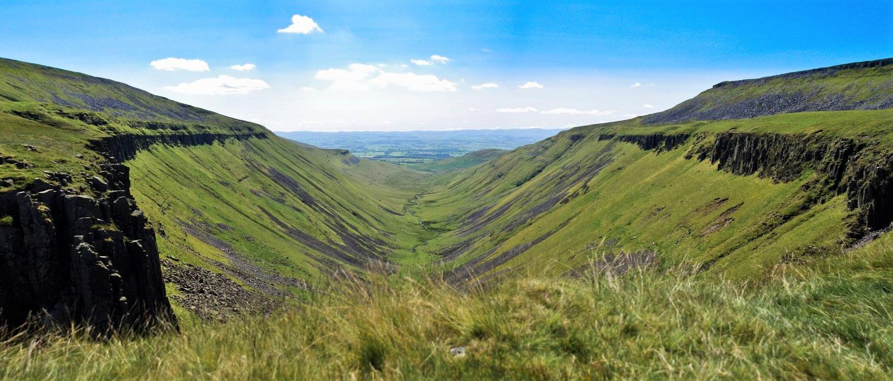
Teesdale Way — A riverside hike from wild Pennines to the North Sea
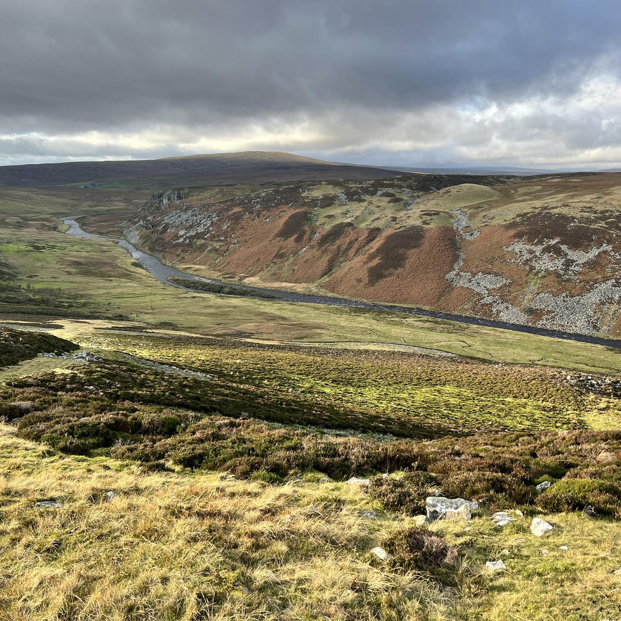
Hiking in Moor House National Nature Reserve
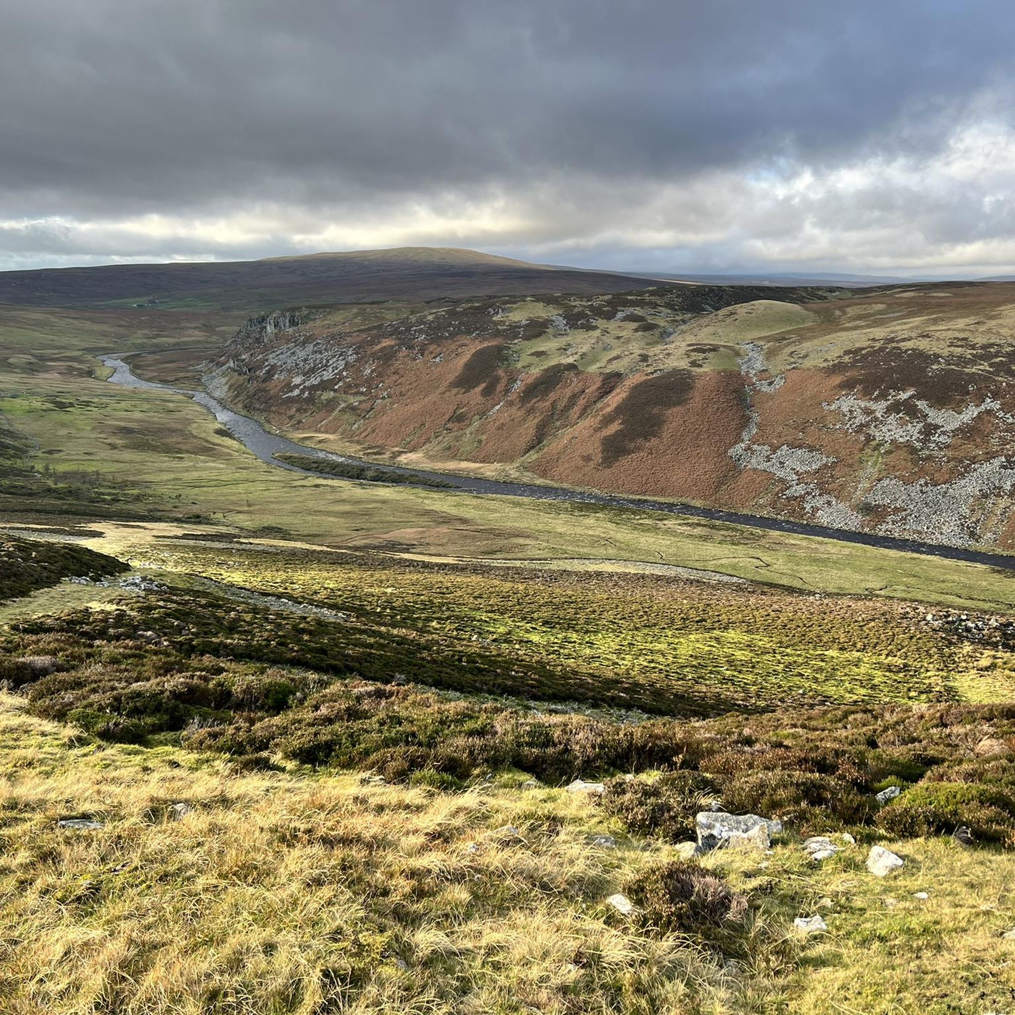
Road Cycling Routes in Moor House National Nature Reserve
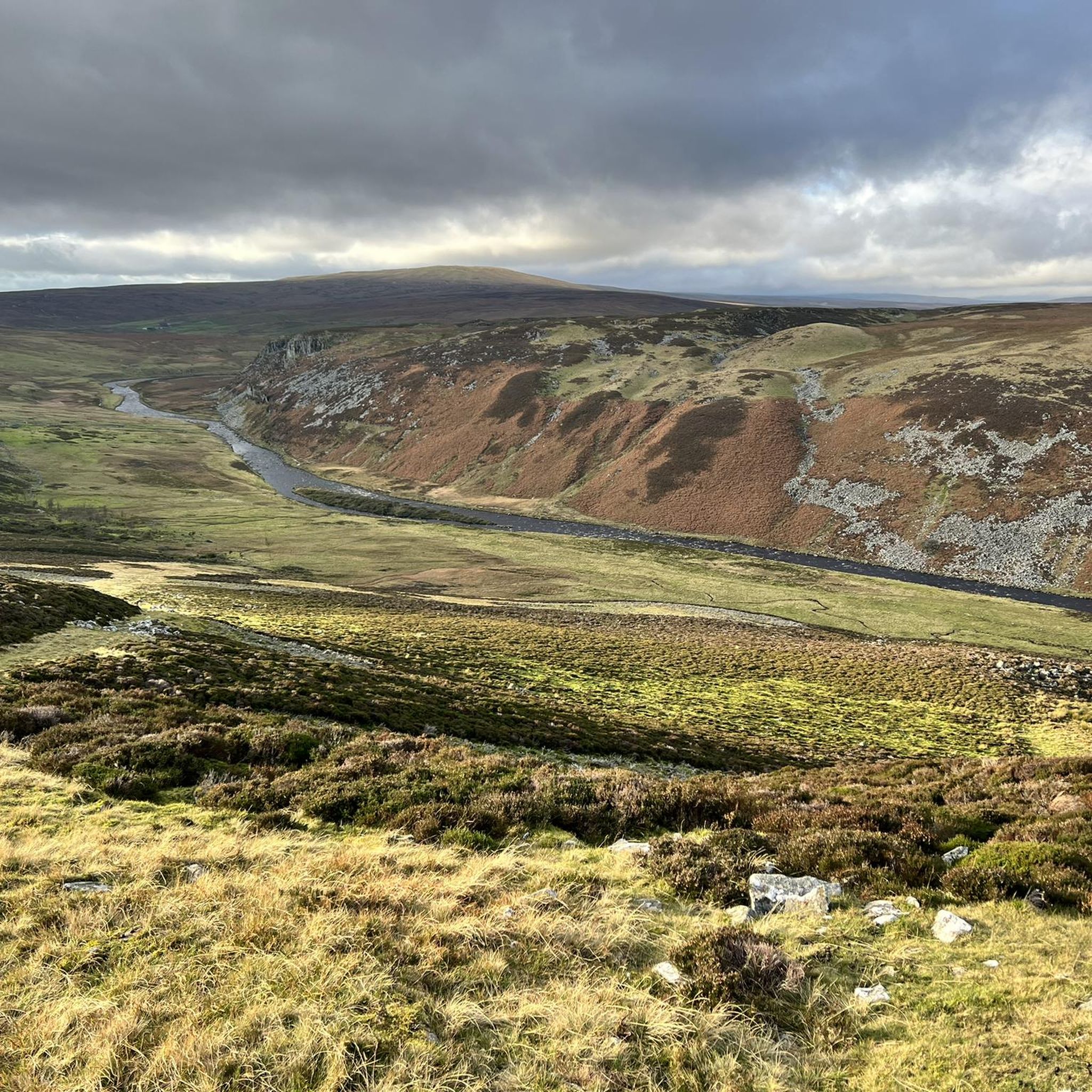
MTB Trails in Moor House National Nature Reserve
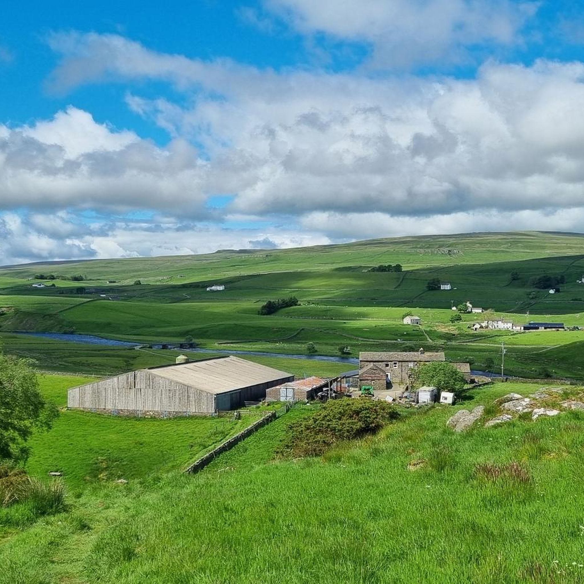
Running Trails in Moor House National Nature Reserve
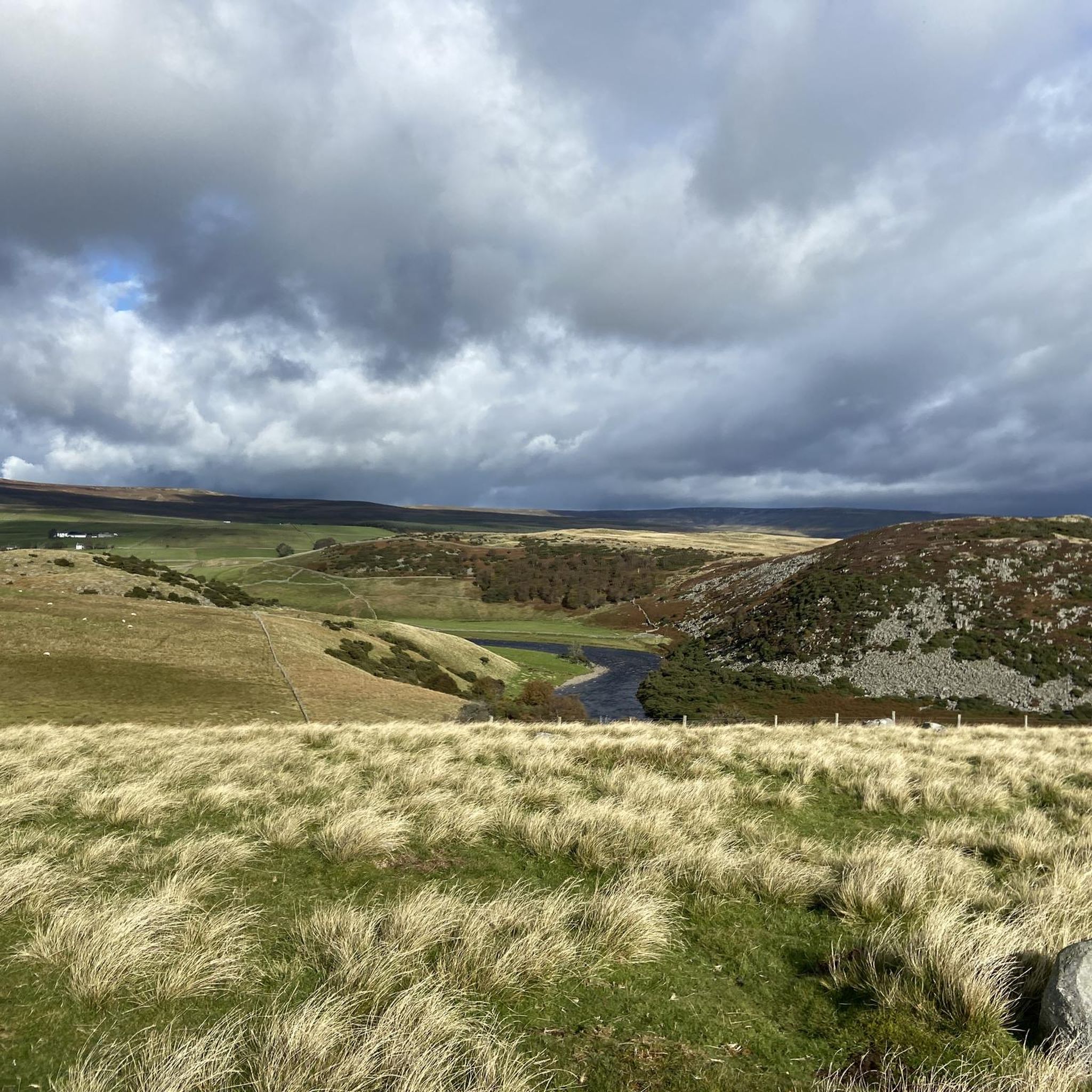
Cycling in Moor House National Nature Reserve
Other adventures in Moor House National Nature Reserve

Tips from the Community

Excellent surface pretty much all the way up the climb, just a bit of sheep poop to worry about!
1
0

Hagworm Hill 597.2m P10.5 (1959ft) (Hill ID: 510553) [JNSA s1270] County of Yorkshire Definitive List
0
0

Mickle Fell is the highest peak in Yorkshire, depending on which list you look at. It is an imposing bulk of a mountain and difficult to get to as a large chunk of it is in the Warcop military training range and access is limited. Normally, 10–12 weekends are set aside annually by the military to allow hikers to walk one of two routes to its summit. There are two routes: the Northern Route and the Southern Route, and both require permits. I did the Southern Route, which is a linear route following a fence for most of the way. The middle section of this route is difficult and boggy. For further information, scheduled hiking days, and contact numbers, see the links below. Access Days — https://www.gov.uk/government/publications/warcop-access-times General Information — https://assets.publishing.service.gov.uk/media/5a79714ce5274a2acd18cdf4/dte_info_leaflet_northwest.pdf Application procedure — https://assets.publishing.service.gov.uk/media/66339f8e4d8bb7378fb6c172/WTA_Mickle_Fell_Access_Permit_Request_Procedures.pdf
3
0

At an altitude of nearly 800 metres, you'll find this summit and its cairn, which can be the ideal prelude to continue on to Great Dun Fell and break the 800 metres barrier.
2
0


Make sure you are on a good leg day, hardest climb I've ever done. Beautiful scenery, no traffic and a good road surface. Well worth the effort and a bucket list climb being the highest tarmac road in Britain
4
1
Love a fast descent on good condition roads with no traffic, watch out for the cross winds though.
0
0

Traffic free road. Pick good weather the day you ride, very changeable up here. Take it easy its a long climb with outstanding views. Extra care coming back down, I reached 42 mph, take note of the gravel or you'll lose your wheel.
1
0
Frequently Asked Questions
What makes Great Dun Fell a notable peak in Moor House National Nature Reserve?
At 848 meters, Great Dun Fell is the highest point within the reserve and the second-highest in England's Pennines. It's famously topped by a distinctive 'golf ball' radar station. While the summit road is private for vehicles, it serves as a bridleway for walkers and cyclists, offering excellent views across the Eden Valley to the Lake District. The Pennine Way also traverses this peak.
Are there any historical or unique features on Knock Fell?
Yes, Knock Fell Summit Cairn, at nearly 800 meters, is crossed by the Pennine Way and features the remains of an oval stone-walled fort, offering a glimpse into its historical past. The geology is also notable, with Melmerby Scar Limestone containing marine fossils and a large boulder field near the summit. Beneath the fell lies the complex Knock Hill Caverns, a hypogenic cave system.
What are the access considerations for Mickle Fell?
Mickle Fell Summit Cairn is the most prominent mountain in the reserve and the highest point in County Durham. It is situated within the Warcop Training Area, a Ministry of Defence firing range, which means access is often restricted and requires a permit. The military typically sets aside 10–12 weekends annually for hikers to access the summit via specific routes. You can find more information on scheduled hiking days and contact numbers on the official government website: Access Days.
What kind of views can I expect from Little Dun Fell?
Little Dun Fell, situated between Cross Fell and Great Dun Fell, offers super nice, raw, and barren views across to its more famous neighbors. The Pennine Way, which is slabbed and well-maintained, passes over its summit, providing clear sightlines of the surrounding high Pennine ridge.
Are there challenging multi-day hikes that include these peaks?
Yes, the Pennine Way traverses Great Dun Fell, Little Dun Fell, and Knock Fell, making them natural inclusions in longer, challenging treks across this high Pennine ridge. These routes often involve significant elevation changes and exposure to the elements.
What unique natural features can be found on the peaks in Moor House National Nature Reserve?
The peaks offer a variety of unique natural features. Little Dun Fell's altitude and geology support arctic-alpine lichen species. Knock Fell features a large boulder field (felsenmeer) and the unusual Knock Hill Caverns. The entire reserve is characterized by expansive moorlands and unique geological formations, providing habitats for specialized flora and fauna.
What cycling opportunities are available near the mountain peaks?
There are several cycling opportunities near the peaks. For touring cyclists, routes like the 'Great Dun Fell Radar Station – Great Dun Fell Access Road loop from Long Marton' offer challenging rides. Road cyclists can explore routes such as the 'Great Dun Fell Radar Station – Great Dun Fell Climb loop from Dufton'. Mountain bikers have options like the 'High Cup Nick and Great Dun Fell Loop'. You can find more details on these and other routes in the Cycling in Moor House National Nature Reserve, Road Cycling Routes, and MTB Trails guides.
What is the best time of year to climb the peaks in Moor House National Nature Reserve?
While specific recommendations vary, the high-altitude environment means weather conditions can change rapidly. Summer and early autumn generally offer more stable weather for hiking. However, the region is known for frequent cloud cover, which was even utilized for meteorological research on Great Dun Fell. Winter hiking is possible but requires appropriate gear and experience due to challenging conditions.
Are there any family-friendly options for exploring the peaks?
While many routes to the main summits are challenging, some sections or lower trails might be suitable for families. For instance, Knock Fell Summit Cairn is categorized as 'family_friendly' in some contexts, suggesting that with proper planning and consideration of the specific route, parts of the area can be enjoyed by families. Always check route difficulty and conditions before heading out with children.
What should I pack for hiking the peaks in Moor House National Nature Reserve?
Given the challenging terrain, potential for boggy moorland, and rapidly changing weather conditions, it's essential to pack for all eventualities. This should include waterproof and windproof layers, sturdy hiking boots, navigation tools (map and compass or GPS), sufficient food and water, and emergency supplies. For Mickle Fell, remember to secure any necessary permits in advance.
What do visitors enjoy most about the mountain peaks in Moor House National Nature Reserve?
Visitors appreciate the challenging ascents, the panoramic views of the surrounding moorland, the Yorkshire Dales, and the distant Lake District fells. The unique geological formations, the specialized arctic-alpine flora, and the historical elements embedded in the landscape, such as the fort remains on Knock Fell, also contribute to a rewarding experience.
Can I bring my dog on the hiking trails around the peaks?
Many trails in the Moor House National Nature Reserve are dog-friendly, including routes that lead to peaks like Knock Fell Summit Cairn. However, it's crucial to keep dogs under close control, especially due to livestock, ground-nesting birds, and the sensitive nature of the reserve's ecology. Always check local signage and guidelines regarding dogs.
Most popular routes in Moor House National Nature Reserve
Most popular attractions in Moor House National Nature Reserve

Get inspired with the komoot mobile app


Explore more
See even more amazing summits in Moor House National Nature Reserve with these guides:
