Top 4 Mountain Passes around Llanbrynmair
Best mountain passes around Llanbrynmair are found in a region characterized by its mountainous terrain and scenic valleys. The area provides access to several mountain passes known for their routes and natural features. These passes offer diverse experiences, from challenging climbs to accessible viewpoints. The landscape includes significant elevations and historical routes.
Best mountain passes around Llanbrynmair
- The most popular mountain passes is Dylife Gorge Viewpoint, a gorge and viewpoint that offers an amazing view over the gorge. This…
Last updated: September 29, 2026
Bwlch y Groes
Highlight (Segment) • Mountain Pass
Tip by

Bwlch Oerddrws Pass
Highlight • Viewpoint
Tip by

Sign up now to discover places like this
Get recommendations on the best single tracks, peaks, & plenty of other exciting outdoor places.
Dylife Gorge Viewpoint
Highlight • Gorge
Tip by

Bwlch Glanmynydd Pass
Highlight (Segment) • Viewpoint
Tip by

Start today with a free account
Your next adventure awaits.
Popular around Llanbrynmair
Glyndŵr’s Way – hiking in the footsteps of a Welsh hero
Cambrian Way — Hike the highest, wildest and most beautiful trail in Wales
Cycling around Llanbrynmair
MTB Trails around Llanbrynmair
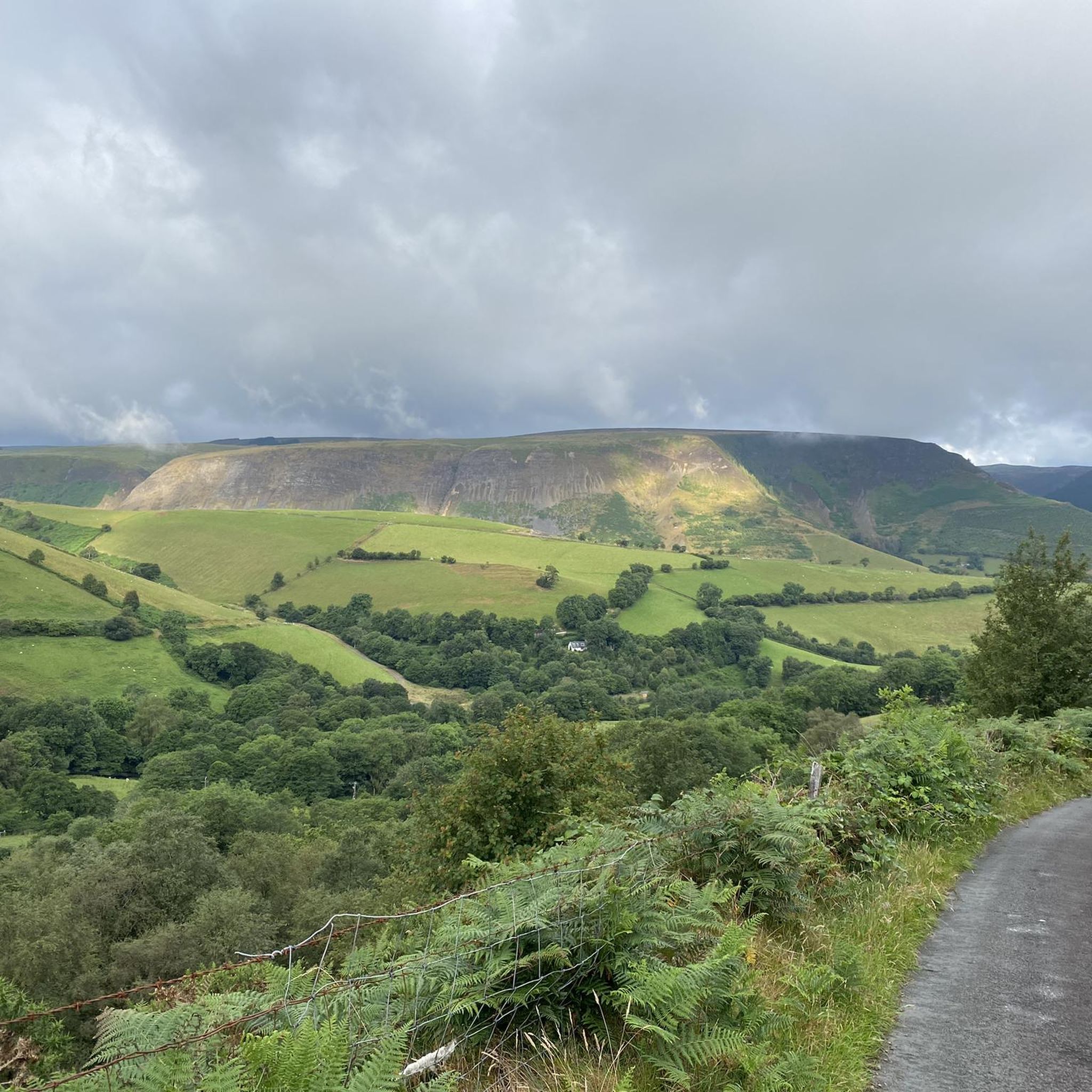
Road Cycling Routes around Llanbrynmair
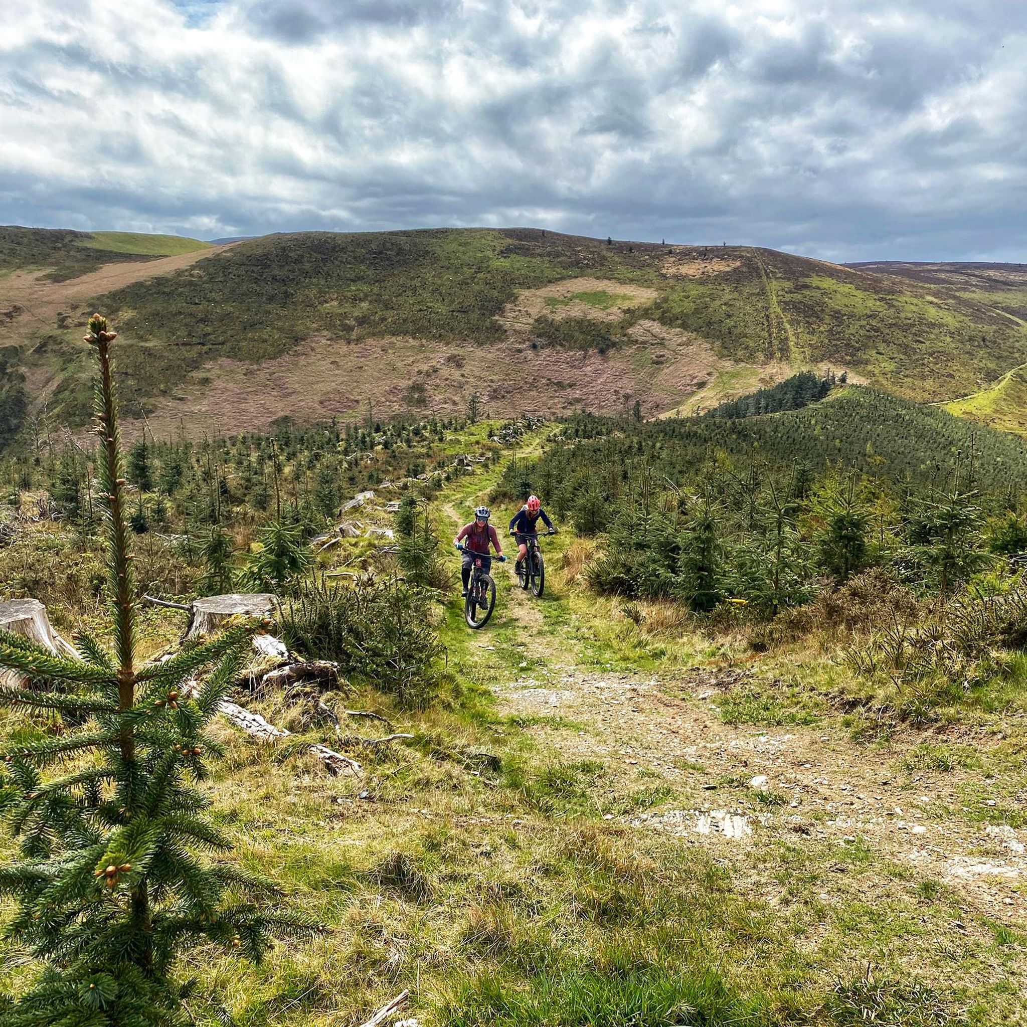
Hiking around Llanbrynmair
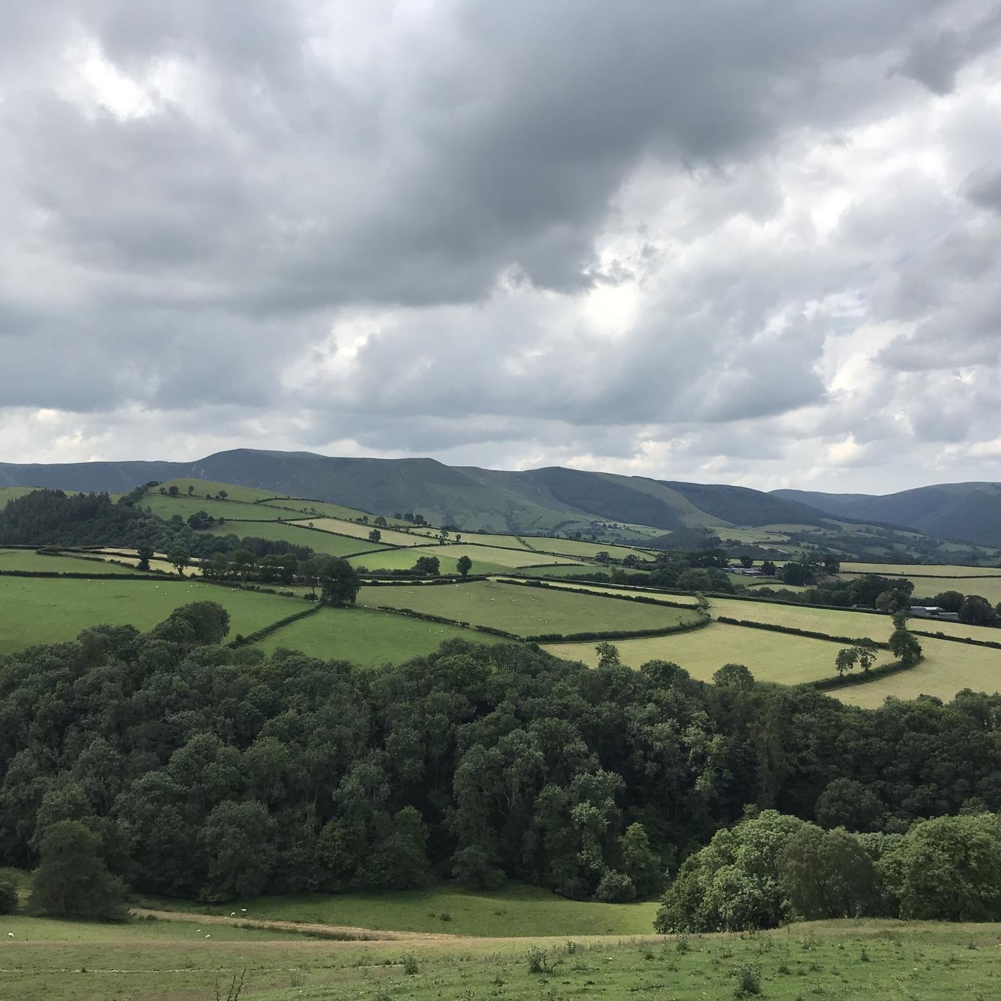
Running Trails around Llanbrynmair
Gravel biking around Llanbrynmair


Tips from the Community

Lovely quite road with some good hills, but it's worth it for the views.
0
0
This extraordinary climb is in the northwestern section of Wales in the Snowdonia mountain region. This is the highest paved road and hardest bike climb in Wales. Bwlch y Groes means “Pass of the Cross.”
1
0
Bwlch y Groes is the second highest public road mountain pass in Wales, with a summit altitude of 545 metres. Gospel Pass in south Wales is slightly higher. It lies on minor roads linking Dinas Mawddwy, Llanuwchllyn and Lake Vyrnw
1
0

Easy parking stop to explore the Cloddfa Gwanas slate quarry & Cribin Fawr
2
0

This is the viewpoint up the hill to the east of Dylife. the best view is north down the Afon Twymyn valley.
0
0

An awesome climb!! Five stars!! Luckily I descended it on my last encounter. Beware when descending as there is a very sharp left hand bend at the bottom!!
4
0

Gap in southeastern Meirionnydd , Gwynedd , between Dolgellau and Dinas Mawddwy is a gap Oerddrws (or gap of Oerddrws ). It is crossed by the A470 highway lane . At its highest it is 360 meters (about 1200 feet) above sea level. This is a very popular pass for cyclists and hikers. Get there early if you want to hike.
2
0

Frequently Asked Questions
What is the most challenging mountain pass near Llanbrynmair?
For a truly demanding experience, Bwlch y Groes is renowned as one of Wales's highest and most challenging tarmacked passes. Often called "Hellfire Pass," it features steep inclines up to 25% and gains 385m in height over just two miles, making it a formidable route for cyclists and drivers.
Are there any accessible mountain passes for less experienced visitors or families?
Yes, Bwlch Oerddrws Pass offers a more moderate challenge while still providing rewarding views. Located on the A470, it's easily accessible and a popular spot for cyclists and hikers looking for a less strenuous experience compared to Bwlch y Groes. There are also easy hiking routes available in the wider Llanbrynmair area, such as the Foel Fadian – Glaslyn Lake loop, which you can explore in the Hiking around Llanbrynmair guide.
Where can I find the best scenic viewpoints among the mountain passes?
The region offers several stunning viewpoints. The Dylife Gorge Viewpoint provides an amazing vista over the gorge and the Afon Twymyn valley. Bwlch y Groes also offers breathtaking views across the Dyfi Valley and Cadair Idris, while Bwlch Glanmynydd Pass is known for its great valley views from a quiet backroad climb.
Do any of the mountain passes have historical significance?
Yes, Bwlch y Groes has a rich history. Centuries ago, pilgrims used this pass to travel between north and south Wales. In the early 20th century, its extreme steepness made it a crucial testing ground for the British motorcycle industry and car companies. It was also part of the International Six Days Trial and a challenging climb in the cycling Tour of Britain.
What outdoor activities are popular around the mountain passes near Llanbrynmair?
The mountain passes around Llanbrynmair are popular for both cycling and hiking. You'll find challenging road cycling routes like the Bwlch y Groes loop, as well as moderate and easy hiking trails. For more detailed information on routes, check out the Hiking around Llanbrynmair and Road Cycling Routes around Llanbrynmair guides.
Are there specific hiking routes near the mountain passes?
Absolutely. Near the passes, you can find various hiking routes. For example, the Glaslyn Lake loop from Millennium Milepost Dylife is an easy option, while the Bryn Amlwg Track offers a moderate challenge. You can find more details and plan your hike using the Hiking around Llanbrynmair guide.
Can I cycle on these mountain passes, and are there challenging routes?
Yes, cycling is very popular. Bwlch y Groes is particularly famous for its challenging ascent, with gradients up to 25%. For a comprehensive list of cycling routes, including difficult ones like the Bwlch y Groes – Bwlch yr Oerddrws loop, refer to the Road Cycling Routes around Llanbrynmair and Cycling around Llanbrynmair guides.
What are the elevations of the main mountain passes around Llanbrynmair?
Bwlch y Groes reaches an elevation of 545 meters (1,788 ft) above sea level, making it the highest tarmacked pass in Wales. Bwlch Oerddrws Pass, crossed by the A470, has a maximum elevation of 360 meters (approximately 1,200 feet) above sea level.
Are there any natural features formed during the last Ice Age in this area?
Yes, the stunning Dylife Gorge, with the River Twymyn carving through its hills, was formed during the last Ice Age. The viewpoint offers an amazing perspective of this geological wonder.
What do visitors enjoy most about the mountain passes around Llanbrynmair?
Visitors frequently highlight the outstanding beauty and stunning vistas, especially from passes like Bwlch y Groes, which offers views encompassing the Dyfi valley and Cadair Idris. The challenging nature of some climbs, like Bwlch y Groes, is also a major draw for cyclists seeking to tick off a bucket-list experience. The accessibility and rewarding views of passes like Bwlch Oerddrws Pass are also highly appreciated.
Is it possible to find quiet roads with good views for cycling or driving?
Yes, Bwlch Glanmynydd Pass is noted for its quiet backroad climb and great valley views, making it an excellent option for those seeking a peaceful journey with scenic rewards. For Bwlch y Groes, it's recommended to visit during quieter times to fully appreciate the stunning vistas due to its narrow and winding nature.
Most popular routes around Llanbrynmair
Most popular attractions around Llanbrynmair

Get inspired with the komoot mobile app


Explore more
See even more epic mountain passes by checking out these guides around Llanbrynmair:
