The 10 Most Amazing Peaks around Wiswell
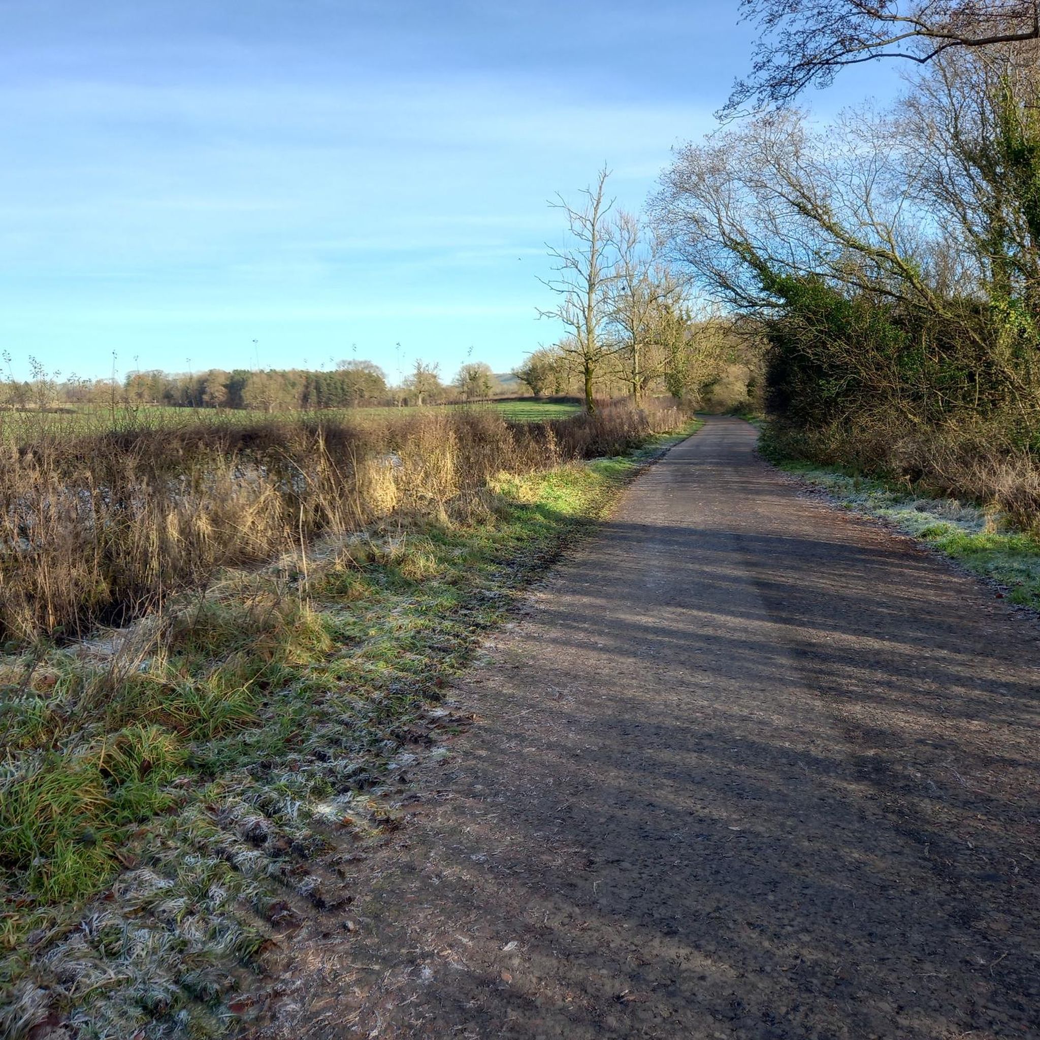
Best mountain peaks around Wiswell are characterized by rolling hills, woodlands, and open moorland, offering elevated landscapes rather than prominent peaks. The area serves as a base for exploring surrounding elevated terrain, most notably Pendle Hill. It provides opportunities for hiking and enjoying scenic vistas across the Ribble Valley, the Pennines, and Longridge Fell. This landscape offers varied terrain for outdoor activities, from riverside paths to moorland ascents.
Best mountain peaks around Wiswell
- The most popular mountain peaks is Pendle…
Last updated: July 27, 2026
Pendle Hill summit trig point
Highlight • Summit
Tip by

Trig point at Longridge Fell summit
Highlight • Viewpoint
Tip by

Sign up now to discover places like this
Get recommendations on the best single tracks, peaks, & plenty of other exciting outdoor places.
Sign up for free
Pendle Hill Path
Highlight • Trail
Tip by

Nick o' Pendle Summit
Highlight • Climb
Tip by

View of Pendle Hill
Highlight • Summit
Tip by

Sign up for free to discover even more peaks around Wiswell.
Sign up for free
Already have an account?
Start today with a free account
Your next adventure awaits.
Login or Signup
Tips from the Community

TP4535 - Longridge Fell | Trig Point | TrigpointingUK | TrigpointingUK https://share.google/z9V3FwjJe70qzF6sy
0
0

Walkers are faced with two choices to climb the hill, either the shorter but steeper steps or a longer but not so steep switchback path.
0
0

Don't forget that it's always windy on top.
1
0

I grew up running around here, the front side with the steps is great for training.
0
0

Family friendly walk from Jeffrey Hill car park. Short, out and back route & a great spot for sunset.
0
0

Would recommend following the path around. Great walk.
0
0

Longridge Fell is a popular destination for walkers and hikers. There are well-established footpaths and trails that traverse the fell, allowing visitors to explore its woodlands, moorlands, and panoramic viewpoints.
0
0
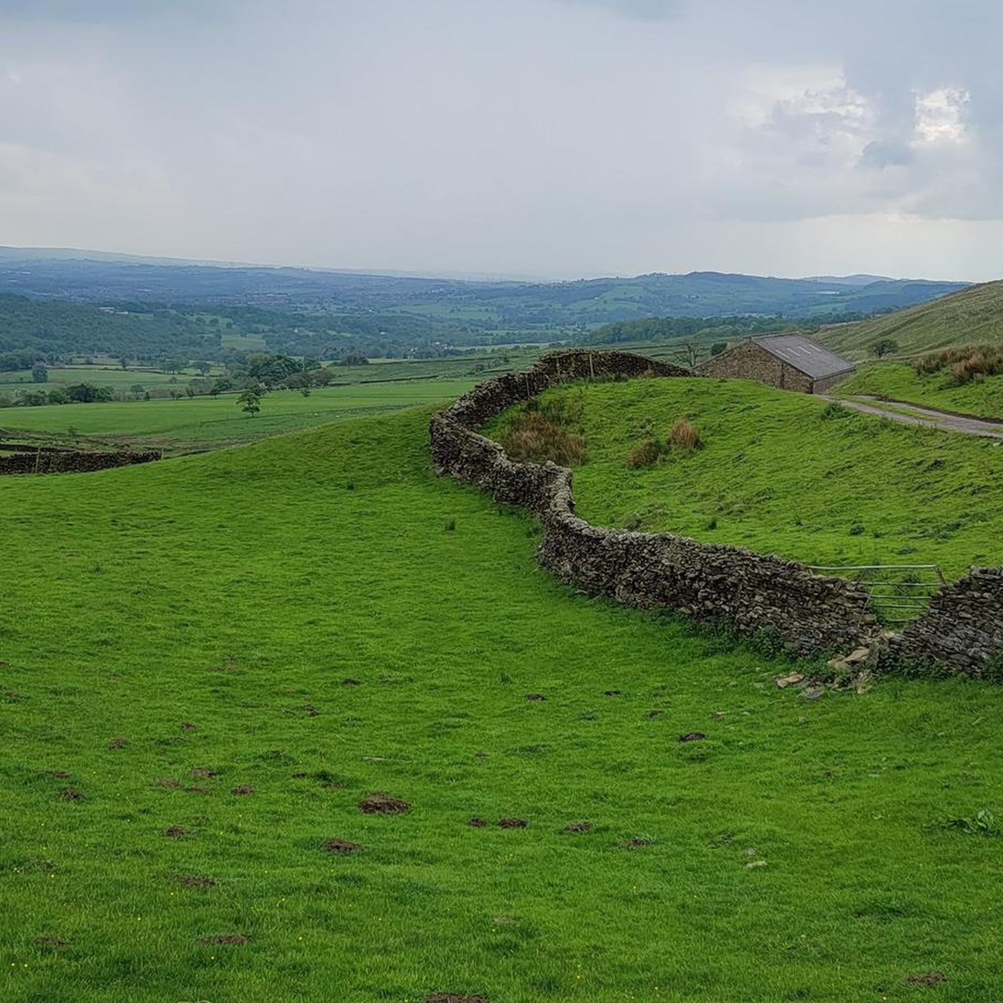
Pendle Hill looms over East Lancashire between the towns of Clitheroe and Nelson. With its distinctive humpback shape, visible for miles around from all directions, it is a local landmark, rising from an area of green beauty. The district is dotted with tiny hamlets and farms, divided by ancient drystone walls and full of folklore and stories – not least the famous tale of the Pendle Witches. Geographically, Pendle Hill is part of the Pennine Chain of hills that run north-south through the northern half of England. It is included in the Forest of Bowland Area of Outstanding Natural Beauty, though Pendle is a discrete hill, separated from the main upland area of Bowland by the Ribble Valley.
0
0
Frequently Asked Questions
What kind of elevated landscapes can I expect around Wiswell?
Wiswell is characterized by rolling hills and open moorland, offering elevated landscapes and challenging hill-walks rather than prominent mountain peaks. You can expect panoramic views of the Ribble Valley, the Pennines, and Longridge Fell. Notable areas include Wiswell Moor and the ascent to the Wiswell Wireless Station.
Which are the most popular viewpoints or elevated areas near Wiswell?
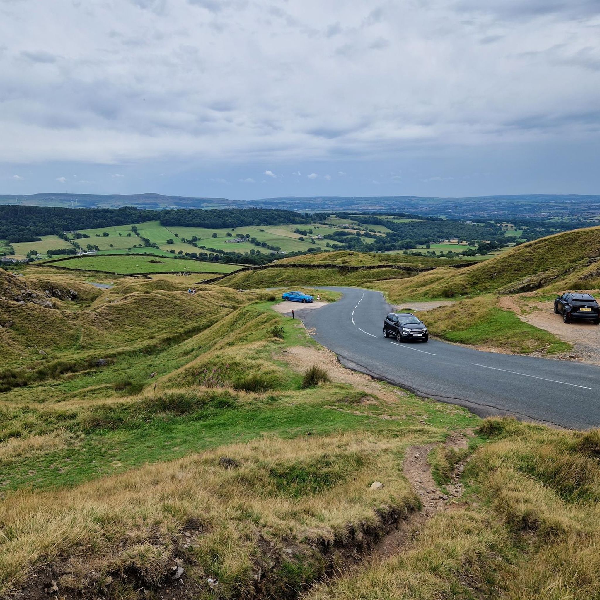
Among the most appreciated spots are the Pendle Hill summit trig point, which offers excellent views north into the Forest of Bowland, and the Trig point at Longridge Fell summit, providing stunning views over the Forest of Bowland. Another popular spot is the Stang Top Moor Trig Point, which also gives amazing views of Pendle Hill and the surrounding area.
Are there family-friendly walks or trails around Wiswell's elevated areas?
Yes, the area offers varied terrain suitable for different fitness levels. For instance, the Trig point at Longridge Fell summit is part of trails that are considered family-friendly, allowing visitors to explore woodlands and moorlands. Always check specific route details for suitability.
What are the best hiking trails to experience the elevated landscapes near Wiswell?
The Pendle Hill Path offers walkers a choice between a shorter, steeper ascent or a longer, less steep switchback path to climb the hill. The Wiswell Short Circular walk includes an ascent to the Wiswell Wireless Station, providing rewarding views. For more options, you can explore the various routes in the Hiking around Wiswell guide.
What is the best time of year to visit Wiswell for hiking?
The elevated areas around Wiswell can be enjoyed throughout the year. However, trails, especially on moorland, can become boggy after wet weather, so appropriate footwear is recommended. Spring and autumn often offer pleasant temperatures and beautiful scenery, while winter can provide a different, more challenging experience.
What natural features can I see while exploring the elevated areas near Wiswell?
You will encounter rolling hills, open moorland, and woodlands. The elevated positions provide extensive panoramic views of the Ribble Valley, the distant Pennines, and Longridge Fell. The landscape is defined by its natural beauty, offering a tranquil setting for outdoor activities.
Are there any challenging hill-walks in the Wiswell area?
Yes, for those seeking a more strenuous activity, the climbs around Wiswell offer a good workout. The ascent to the Wiswell Wireless Station, for example, can be steep in places, especially when wet, and is considered an alternative hill-walk to Pendle Hill itself. The Pendle Hill summit trig point is also categorized as challenging.
What other outdoor activities can I do near Wiswell's elevated areas?
Beyond hiking, the region around Wiswell offers opportunities for other outdoor pursuits. You can find routes for gravel biking and running. These guides provide various routes, from moderate to difficult, allowing you to explore the diverse terrain.
What historical or cultural context is associated with the elevated areas near Wiswell?
The area is rich in folklore and stories. Pendle Hill, a prominent landmark, is intertwined with myth and legend, most notably the famous Witch Trials of the early 17th century. The surrounding district is dotted with tiny hamlets and farms, divided by ancient drystone walls, reflecting a long history.
What do visitors enjoy most about the elevated landscapes around Wiswell?
Visitors frequently appreciate the stunning panoramic views, especially from spots like Pendle Hill summit trig point and Trig point at Longridge Fell summit. The varied terrain for hiking, from riverside paths to moorland ascents, and the tranquil setting provided by the natural beauty of the rolling hills are also highly valued.
Are there any pubs or cafes near the hiking routes around Wiswell?
While specific establishments are not detailed for every route, Wiswell itself is a village, and the surrounding area includes other villages like Whalley and Clitheroe. These typically offer amenities such as pubs and cafes where you can refresh after a walk. For example, the Ribble Way offers views towards Grindleton, a village with pubs like the Buck Inn or the Duke of York.
Most popular attractions around Wiswell

Get inspired with the komoot mobile app


Explore more
See even more amazing summits around Wiswell with these guides:
