The 4 Most Amazing Peaks around Snainton
Best mountain peaks around Snainton are characterized by gentle elevations and rolling terrain, typical of North Yorkshire's landscape. While Snainton itself features elevations around 131 meters, the broader North York Moors National Park offers more elevated points. These areas provide diverse landscapes, from forested summits to open moorland, suitable for hiking and exploring natural features. Visitors can find various viewpoints and high points that offer expansive vistas across the region.
Best mountain peaks around Snainton
- The most popular mountain peaks…
Last updated: October 3, 2026
Blakey Topping
Highlight • Summit
There’s a way more famous Topping in the North York Moors – Roseberry Topping – but if you want something off the beaten track, this …
Tip by

Dalby Forest Crossroads Rest Area
Highlight • Forest
Tip by

Sign up now to discover places like this
Get recommendations on the best single tracks, peaks, & plenty of other exciting outdoor places.
East Heslerton Wold
Highlight • Trail
You get a …
Tip by

High Woof Howe (Derwent Head Rigg) Summit
Highlight • Summit
(Hill ID: 512579) [JNSA s10481]
County of Yorkshire Definitive List summit.
North York Moors National Park Definitive List summit
Tip by

Troutsdale Brow Summit (222 m)
Highlight • Summit
(Hill ID: 512582) [JNSA s11942]
County of Yorkshire Definitive List summit.
North York Moors National Park Definitive List summit
Tip by
Sign up for free to discover even more peaks around Snainton.
Already have an account?
Start today with a free account
Your next adventure awaits.

Tips from the Community

Troutsdale Brow 222m P19 (728ft) (Hill ID: 512582) [JNSA s11942] County of Yorkshire Definitive List summit. North York Moors National Park Definitive List summit
0
0
High Woof Howe (Derwent Head Rigg) 290m P16 (951ft) (Hill ID: 512579) [JNSA s10481] County of Yorkshire Definitive List summit. North York Moors National Park Definitive List summit
0
0

Many paths. Quiet and beautiful. Perfect for a mountain and a gravel bike.
0
0

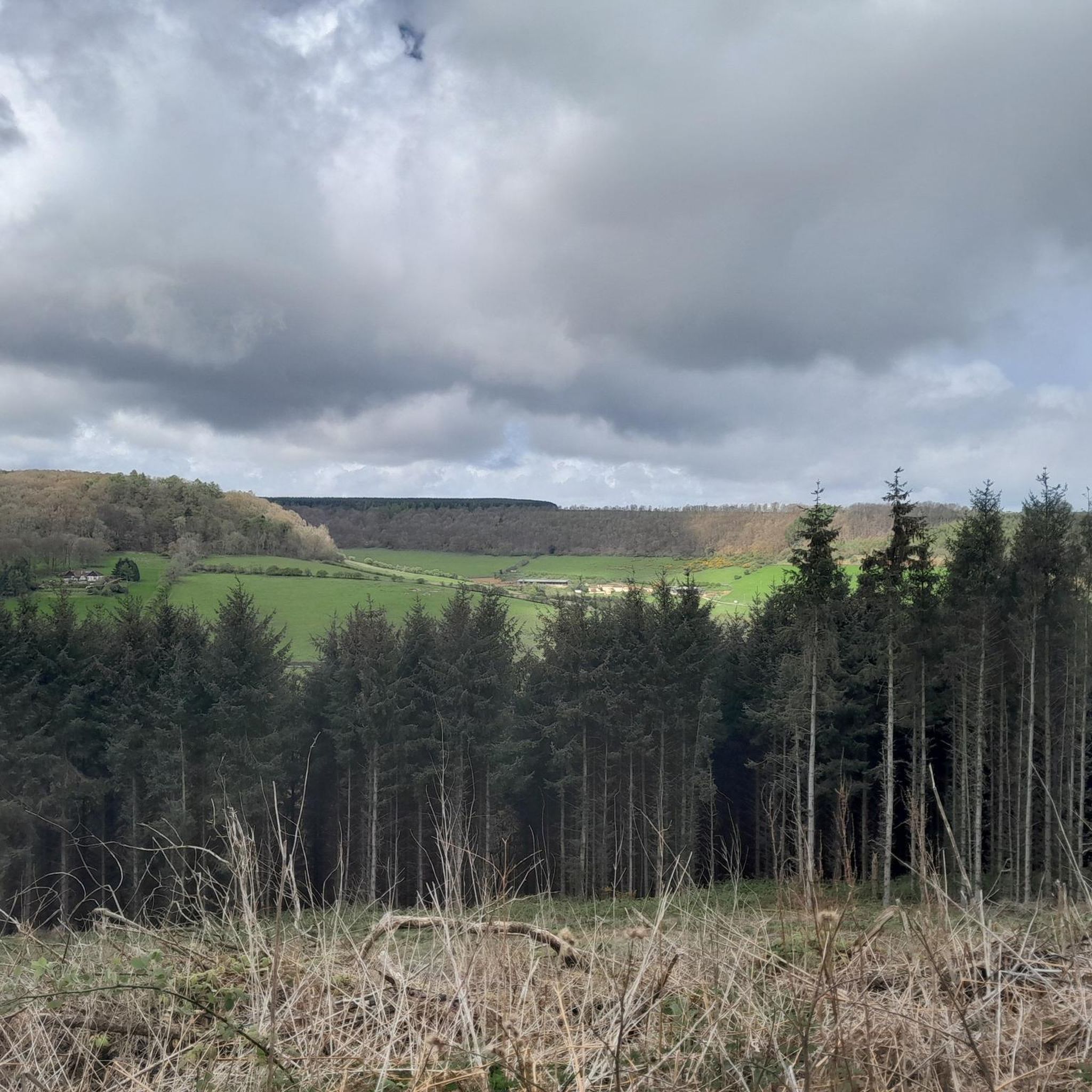
This location was about 10 miles into this trail. It is a crossroads in Dalby Forest. You can rest the bikes against several fences & gates, then sit down on an elevated drain type seat. Good point to rehydrate and eat
0
0

A rather oddly located trig point, nonetheless it's worth noticing it as this is actually the highest point in Dalby Forest, at 248 m! Ordnance Survey have these days stopped placing trig points, which is perhaps good, as this one is now obviously surrounded by forest.
1
0

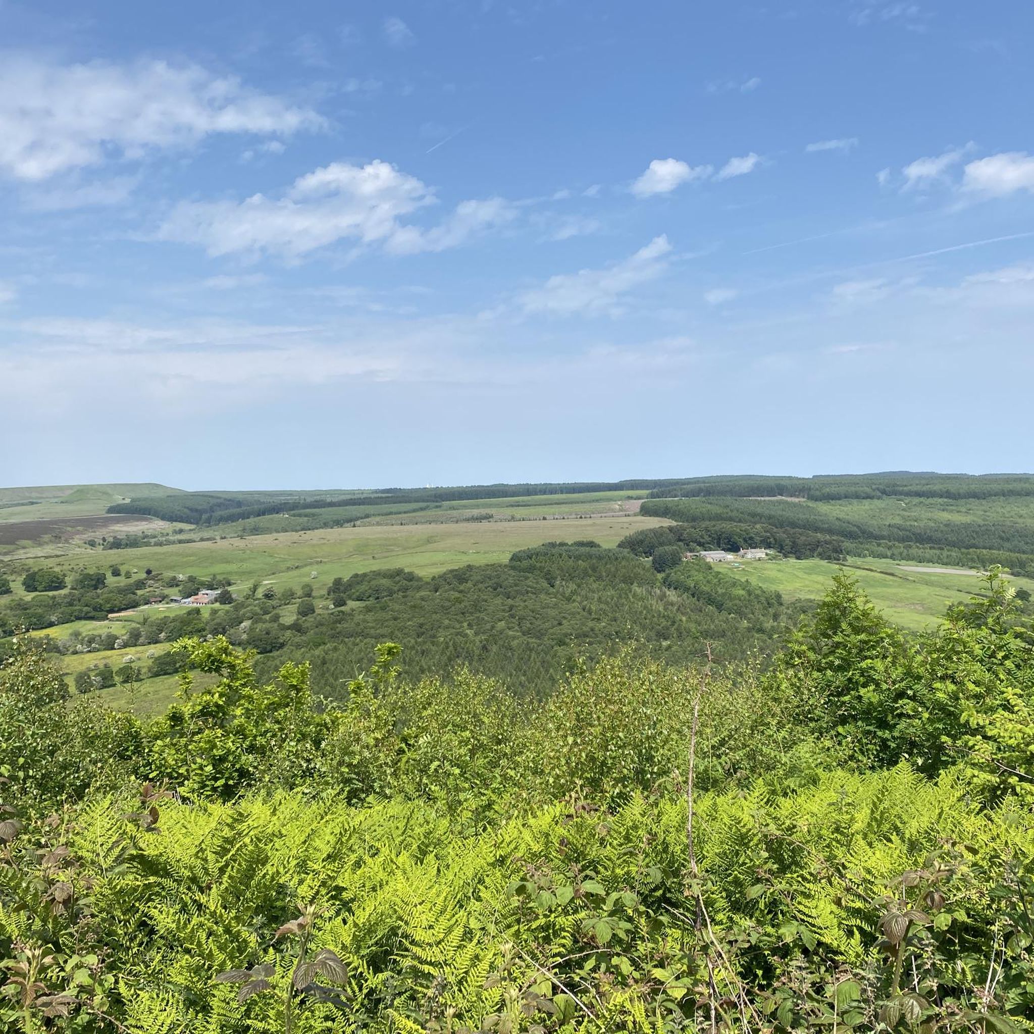
East Heslerton Wold is on the edge of the Yorkshire Wolds with the Vale of Pickering just to the north. The Yorkshire Wolds Way passes close by. You get a sense of being high up here, even though it is only at 174m at its highest. With quiet lanes its worth the climb up to get here.
0
0
It's a very striking hill - clearly manmade. Wonderful view all around. I was there on a cloudy day (visibility was still good) and even then it was amazing. Expect VERY steep ascent to it - sweet but short! Far reaching views of the 360-degree type... Loved it and so should you.
1
0

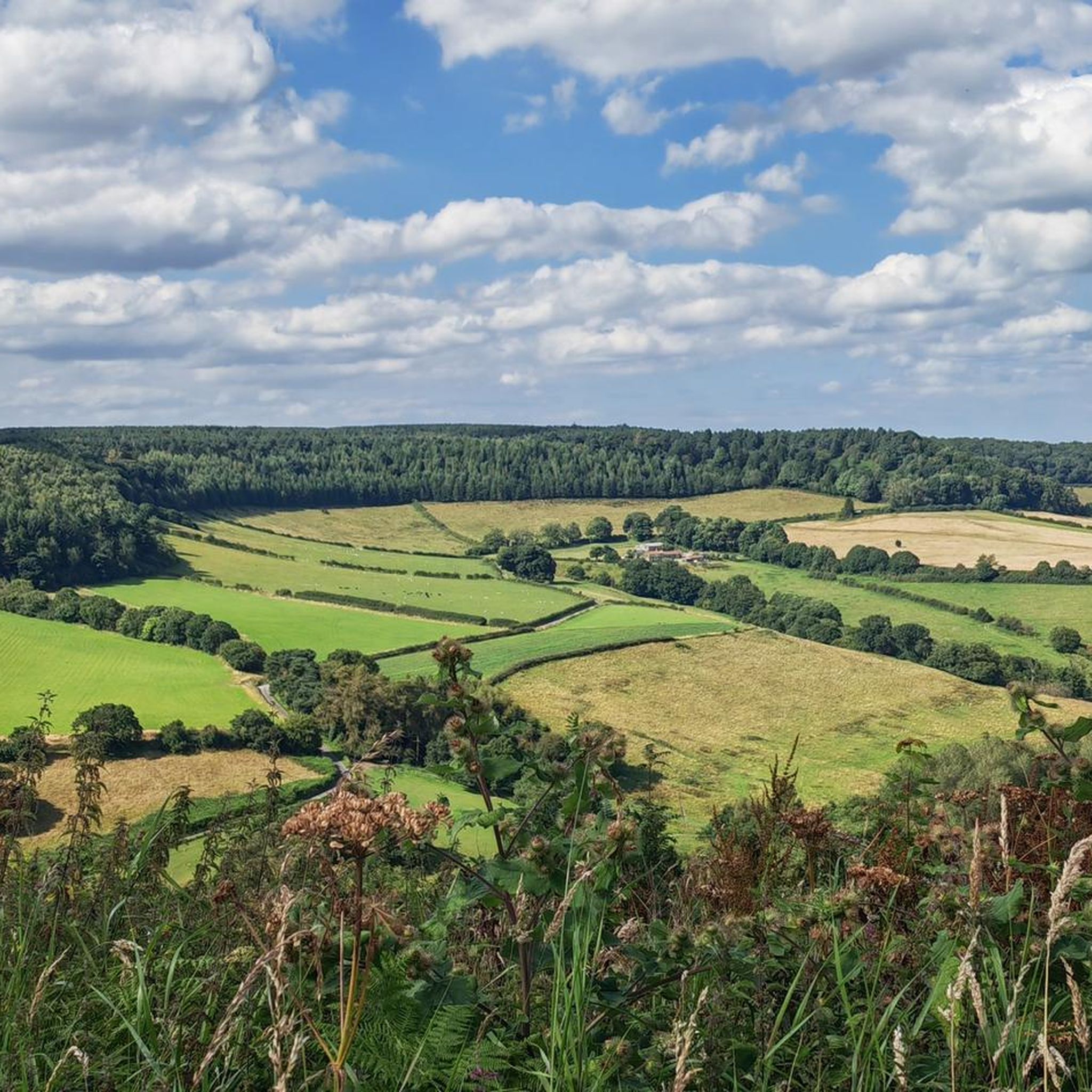
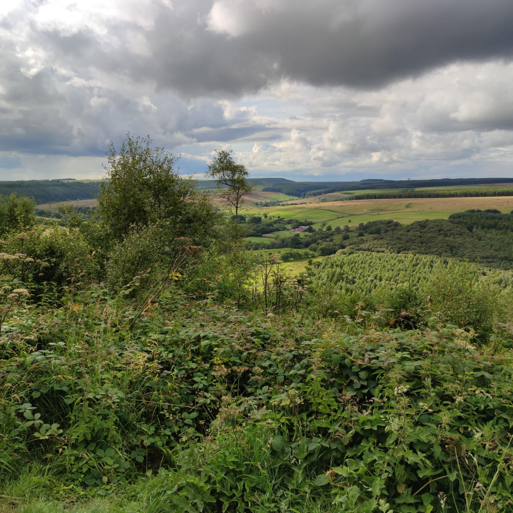
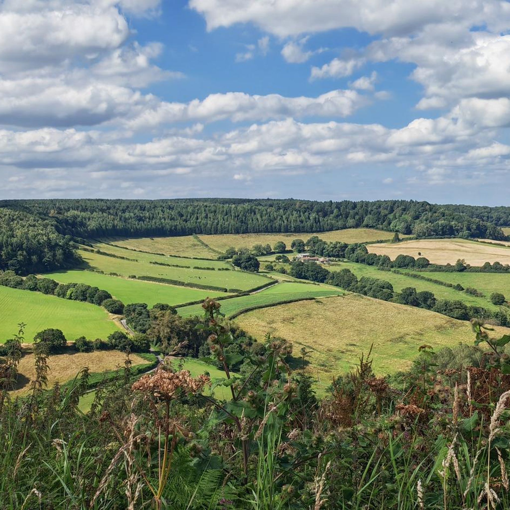
Blakey Topping, North York Moors There’s a way more famous Topping in the North York Moors – Roseberry Topping – but if you want something off the beaten track, this is where to come. Blakey Topping is a free-standing conical hill that no-one seems to know about, standing by itself a mile east of the spectacular Hole of Horcum. It looks great from every approach, but the best walk is from Crosscliff Brow at the top end of Dalby Forest. Climb the narrow path that’s barely been tramped into the heathery slope (the hill only opened to public access in 2000) and you’re rewarded with an immense panorama across the wild, open moors, with the giant listening station of RAF Fylingdales crowning the horizon to the north. Combine it with a walk to either the Hole of Horcum (west) or to the epic Bridestones (south) and you’ve got a day jam-packed with unexpected delights. Nick Hallissey, Country Walking deputy editor
1
0
Frequently Asked Questions
What are the most notable high points and peaks near Snainton?
While Snainton itself features gentle elevations, the broader North York Moors National Park offers several significant high points. These include Dalby Forest Crossroads Rest Area, which is the highest point in Dalby Forest at 248 meters, and High Woof Howe (Derwent Head Rigg) Summit, an intermediate summit at 290 meters. Other notable points in the wider region include Round Hill (Urra Moor), the highest point in the North York Moors at 454 meters, and the distinctive Roseberry Topping.
Are there good viewpoints to experience the scenery around Snainton?
Yes, the region offers several excellent viewpoints. View from Reasty Hill Top provides extensive vistas and is accessible via climbs of varying gradients. Additionally, the High Woof Howe (Derwent Head Rigg) Summit also offers great views from its 290-meter elevation. The Highwood Brow Viewpoint, though not a mountain, offers views towards Fylingdales Moor and Langdale Rigg.
What kind of natural features can I expect to see on these peaks and high points?
You can expect to encounter diverse natural features. Many areas, like Dalby Forest Crossroads Rest Area and Troutsdale Brow Summit, are characterized by forested settings. The wider North York Moors features rolling moorlands, distinctive rocky outcrops like The Wainstones, and open landscapes with trig points marking high elevations.
Are there family-friendly options for exploring the high points near Snainton?
Yes, some areas are suitable for families. Dalby Forest Crossroads Rest Area is within Dalby Forest, which is known for its family-friendly facilities and trails. The gentler elevations around Snainton and within Dalby Forest offer accessible paths for walks with children.
What outdoor activities can I do near these mountain peaks?
The area around Snainton and the North York Moors National Park is excellent for various outdoor activities. You can find numerous routes for cycling, including easy, moderate, and difficult options, as detailed in the Cycling around Snainton guide. There are also dedicated MTB Trails around Snainton and Gravel biking around Snainton, offering diverse terrain for mountain biking and gravel biking enthusiasts.
Are there hiking trails near the high points around Snainton?
Absolutely. The North York Moors National Park, which encompasses many of these high points, is crisscrossed with hiking trails. For example, Round Hill (Urra Moor) is located along the famous Coast to Coast walk path, and The Wainstones are popular with walkers on both the Coast to Coast and Cleveland Way routes. You can find various walking opportunities around highlights like East Heslerton Wold, which is close to the Yorkshire Wolds Way.
What is the best time of year to visit the peaks and high points near Snainton?
The best time to visit depends on your preferred activity. Spring and summer offer pleasant weather for hiking and cycling, with longer daylight hours. Autumn brings beautiful foliage to forested areas like Dalby Forest. While winter can offer unique, crisp views, some trails might be more challenging due to weather conditions, so appropriate gear is essential.
What are the difficulty levels of the trails leading to these high points?
The difficulty levels vary. Some high points, like View from Reasty Hill Top, can be reached via climbs of varying gradients, from shallower ascents to steeper sections. Generally, the elevations around Snainton are gentle, but the broader North York Moors offers more challenging hikes, such as those found on Round Hill or Roseberry Topping.
Are there any specific historical or cultural landmarks associated with these high points?
Yes, some high points have historical significance. Stony Leas, for instance, is near a Bronze Age Round Barrow known as Lilla Howe. The area is also dominated by the RAF Fylingdales Radar Station, a modern landmark. Many trig points, like the one at Dalby Forest Crossroads Rest Area, are historical markers used for surveying.
What do visitors enjoy most about the high points around Snainton?
Visitors appreciate the diverse experiences offered. Many enjoy the expansive views from elevated spots like View from Reasty Hill Top. The tranquility and beauty of forested areas, such as those found near Dalby Forest Crossroads Rest Area, are also highly valued. The komoot community has upvoted these locations 15 times and shared 6 photos, highlighting their appeal for outdoor enthusiasts seeking scenic walks and rides.
Is public transport available to reach hiking trails near Snainton's high points?
While Snainton itself is a village, public transport options to directly access remote trailheads for the higher peaks in the North York Moors can be limited. It's advisable to check local bus services for routes connecting to larger towns within the National Park, from where you might find more localized transport or start your hike. Driving and parking are often the most convenient ways to reach many of these locations.
Most popular attractions around Snainton

Get inspired with the komoot mobile app


Explore more
See even more amazing summits around Snainton with these guides:
