The best walks and hikes around Perth East
40
hikers
6
hikes
Hiking trails around Perth East primarily traverse gentle terrain characterized by waterways, parklands, and woodlands. The region offers a network of paths suitable for various activity levels, often following riverbanks or winding through natural areas. Elevation changes are generally minimal, making routes accessible for casual walks. The landscape is defined by its natural beauty, providing opportunities for outdoor exploration.
Best hiking trails around Perth East
- The most popular hiking route is Serene Waterway – View of Tom Patterson Island loop…
Last updated: July 23, 2026
1
hikers
3.48km
00:54
20m
20m
Easy hike. Great for any fitness level. Easily-accessible paths. Suitable for all skill levels.
18
hikers
Easy hike. Great for any fitness level. Easily-accessible paths. Suitable for all skill levels.

Sign up for free
13
hikers
Easy hike. Great for any fitness level. Easily-accessible paths. Suitable for all skill levels.
2
hikers
6.53km
01:41
30m
30m
Easy hike. Great for any fitness level. Easily-accessible paths. Suitable for all skill levels.
Get access to more routes and recommendations from other explorers.
Sign up for free
Already have an account?
Our route recommendations are based on thousands of hikes, rides, and runs completed by other people on komoot.
Start today with a free account
Your next adventure awaits.
Login or Signup
Popular around Perth East
Tips from the Community

The local Canada Day Parade starts from this intersection on July 1. From here, you get a nice view down the length of Lake Victoria. A colorful utility box by the sidewalk is decorated with artistic representations of local attractions and events.
0
0
A pretty wooden bridge takes you across to the small island. Tom Patterson Island has over a dozen picnic tables and benches that face outwards to look over the center of Lake Victoria. In the summer, the picnic tables have sun umbrellas to offer shade.
0
0
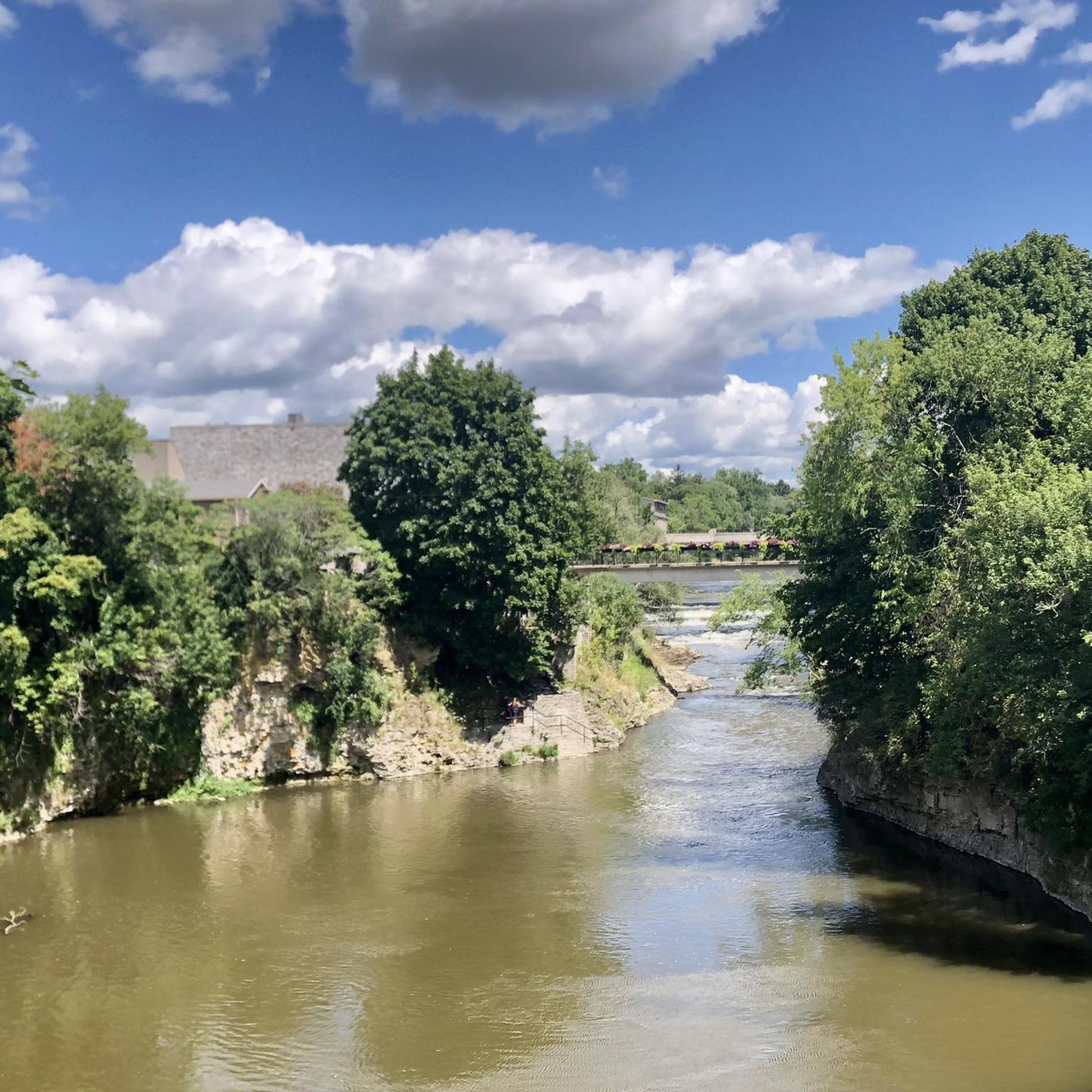
There are sidewalks on both sides of the bridge where you can stop and look down the length of Lake Victoria and the Avon River. Both banks of the lake are flanked by park paths and trees that reach out over the water.
0
0

T.J. Dolan Natural Area is a peaceful riverside reserve that protects one of Stratford’s largest remaining natural woodlands, with mature maple, beech, and walnut trees along the Avon River, creating an important refuge for birds and other wildlife. There are several forest trails throughout the grounds, ideal for a quiet escape to enjoy nature just minutes from the city.
0
0
T.J. Dolan Trail, part of the Avon Trail system, is an easy, forested loop that follows the banks of the Avon River through mature Carolinian forest. It’s a mostly natural path that crosses small footbridges and passes towering hardwoods, with plenty of opportunities to spot songbirds and beautiful wildflowers dotting the landscape in the spring. It’s a lovely route for a relaxing walk that feels surprisingly secluded despite its urban setting.
0
0
The Avon River winds slowly through Stratford along the city’s parks, wetlands, and natural areas before joining the North Thames River. Along the T.J. Dolan Natural Trail, its calm waters attract ducks, turtles, herons, and other wildlife. It’s one of the defining natural features of Stratford’s landscape, and is beautiful, regardless of where you visit along its banks.
0
0
Frequently Asked Questions
What is the typical length and difficulty of hiking trails in Perth East?
Hiking trails in Perth East generally range from 3 km to 8.6 km in length. The majority of routes are classified as easy, with some moderate options available. For example, the Serene Waterway – View of Tom Patterson Island loop from Stratford is an easy 4.1 km trail, while the longer Serene Waterway loop from Stratford is a moderate 8.1 km.
Are there family-friendly hiking options in Perth East?
Yes, Perth East offers several family-friendly hiking options, characterized by gentle terrain and minimal elevation changes. Many trails traverse parklands and waterways, making them suitable for all ages. The Upper Queens Park Playground – Festival Theatre, Stratford loop from Stratford is an easy 5.9 km path that winds through parkland and past local landmarks, perfect for a family outing.
Are permits required for hiking in Perth East?
No, permits are generally not required for hiking on the public trails and parklands in Perth East. Most routes are freely accessible for recreational use.
When is the best time of year to go hiking in Perth East?
The best time for hiking in Perth East is typically from spring through fall (May to October) when the weather is mild and the natural scenery is vibrant. The region's waterways and woodlands are particularly enjoyable during these seasons. Winter hiking is also possible, but trails may be snow-covered or icy, requiring appropriate gear.
What are some good trails for beginner hikers in Perth East?
Beginner hikers will find many suitable options in Perth East due to the region's generally flat and accessible terrain. The Schmidt Woods loop from Baden is an easy 3 km trail through dense woodlands, ideal for those new to hiking. Another great choice is the Serene Waterway – View of Tom Patterson Island loop from Stratford, a gentle 4.1 km path.
Are hiking trails in Perth East dog-friendly?
Many trails in Perth East are dog-friendly, especially those in parklands and woodlands. It's always recommended to keep dogs on a leash and clean up after them to ensure a pleasant experience for all users and to protect local wildlife. Specific regulations may vary by park, so checking local signage is advisable.
What kind of natural landscapes can I expect to see while hiking in Perth East?
Perth East's hiking landscape is characterized by serene waterways, accessible parklands, and quiet woodlands. Trails often follow riverbanks, wind through natural areas, and offer views of the region's gentle, rolling terrain. You'll experience a mix of open spaces and shaded forest paths.
Are there any interesting landmarks or attractions near the hiking trails in Perth East?
Yes, there are several interesting points near the hiking trails. For example, you might encounter the G2G Rail Trail, which offers a longer route for exploration. Other nearby highlights include the settlement of Linwood and the Kuepfer Family Rest Area. For scenic views, consider the View of Wellesley and the countryside from Greenwood Hill.
What do other hikers enjoy most about hiking in Perth East?
Hikers often praise the tranquil atmosphere and accessibility of the trails in Perth East. The komoot community highlights the serene waterways, well-maintained parklands, and quiet woodlands as key attractions. The minimal elevation changes make the routes enjoyable for a wide range of abilities.
Are there circular hiking routes available in Perth East?
Yes, Perth East features several circular hiking routes, which are popular for their convenience. Examples include the Serene Waterway – View of Tom Patterson Island loop from Stratford and the Schmidt Woods loop from Baden, which offers a moderate 8.6 km option.
What should I wear for winter hiking in Perth East?
For winter hiking in Perth East, it's essential to dress in layers to adapt to changing temperatures. Waterproof and insulated outer layers are recommended, along with warm base layers. Sturdy, waterproof hiking boots with good grip are crucial, as trails can be snowy or icy. Consider bringing microspikes for added traction if conditions are particularly slippery.
How many hiking trails are available in Perth East?
There are over 5 distinct hiking routes documented in Perth East, offering a variety of experiences from easy strolls to moderate walks through parklands, waterways, and woodlands.
Most popular routes around Perth East
Most popular attractions around Perth East

Get inspired with the komoot mobile app


Explore more
Browse the best Hikes in other regions.
