The best road cycling routes in Cajolá
5.0
(15)
39
riders
1
ride
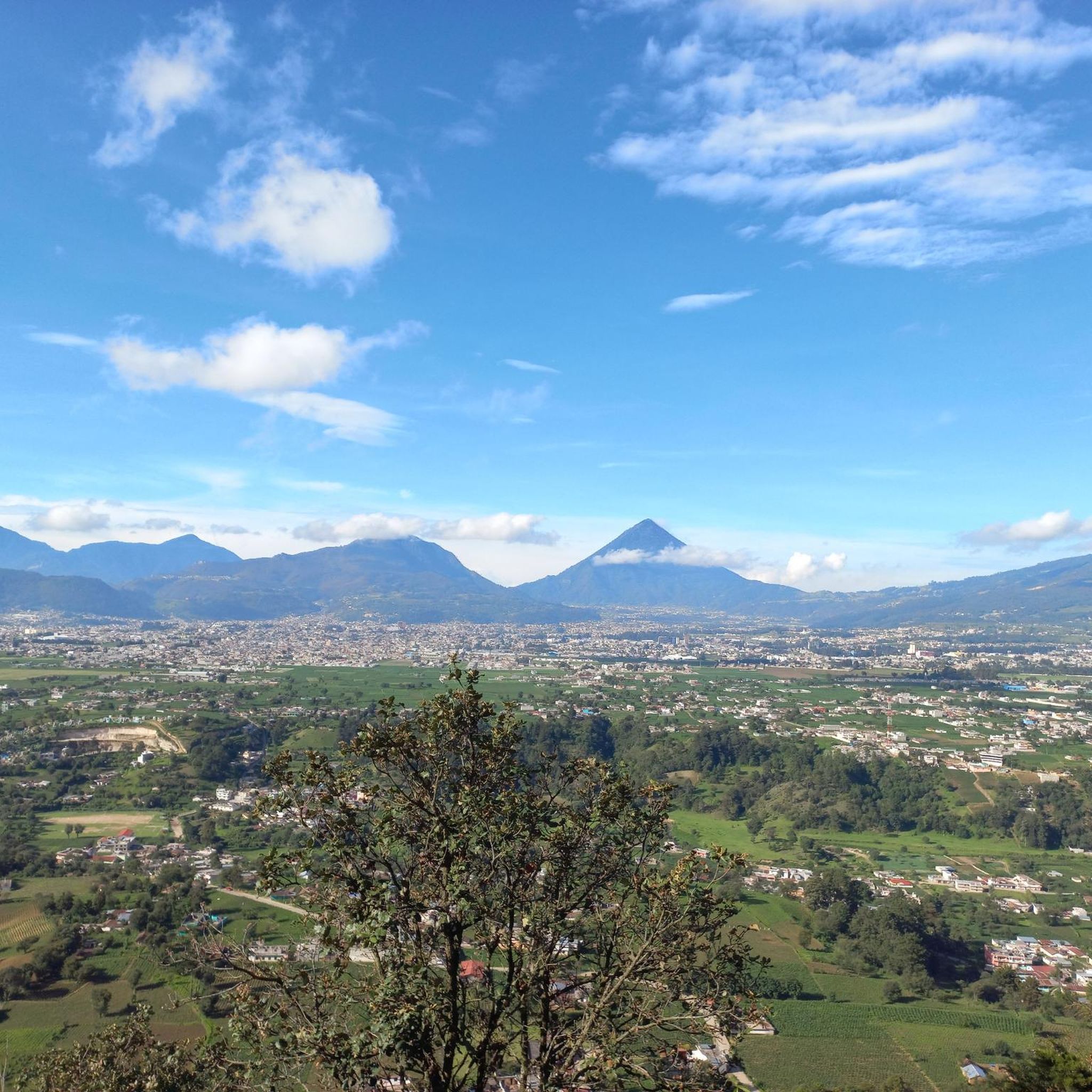
Road cycling in Cajolá is characterized by routes that navigate through varied terrain, often featuring significant elevation changes. The region's landscape includes hills and viewpoints, providing opportunities for challenging ascents and descents. Road cyclists can expect paths that traverse areas with natural features, offering diverse riding experiences.
Best road cycling routes in Cajolá
- The most popular road cycling route is Rudolf Walther Viewpoint loop from Quetzaltenango, a 32.0 miles (51.5 km) trail that takes 2 hours 51 minutes to…
Last updated: May 13, 2026
5.0
(7)
15
riders
51.5km
02:51
910m
910m
Hard road ride. Very good fitness required. Mostly well-paved surfaces and easy to ride.
5.0
(4)
11
riders
116km
06:52
2,540m
2,540m
Hard road ride. Very good fitness required. Some segments of this route may be unpaved and difficult to ride.

Sign up for free
3
riders
31.5km
01:48
600m
600m
Moderate road ride. Good fitness required. Mostly well-paved surfaces and easy to ride.
5.0
(1)
3
riders
61.4km
03:20
970m
970m
Hard road ride. Very good fitness required. Mostly well-paved surfaces and easy to ride.
5.0
(2)
3
riders
22.8km
01:12
330m
330m
Moderate road ride. Good fitness required. Mostly well-paved surfaces and easy to ride.
Our route recommendations are based on thousands of hikes, rides, and runs completed by other people on komoot.
Start today with a free account
Your next adventure awaits.
Login or Signup
Popular around Cajolá

Frequently Asked Questions
How many road cycling routes are available in Cajolá?
There are 5 road cycling routes in Cajolá listed on komoot, offering a range of experiences for cyclists.
Are there any easy road cycling routes for beginners in Cajolá?
Cajolá's road cycling routes are generally characterized by varied terrain and significant elevation changes. While there are no routes specifically rated as 'easy', you can find a moderate option like the Cerro La pedrera loop from Quetzaltenango, which is 19.6 miles (31.5 km) long and features hilly terrain.
What are the options for long-distance road cycling in Cajolá?
For those seeking a longer challenge, the Rudolf Walther Viewpoint – Mirador El Carmen loop from Quetzaltenango is a difficult 71.9 miles (115.7 km) route. It features sustained ascents and offers panoramic vistas, making it ideal for experienced long-distance riders.
Are there challenging road cycling routes in Cajolá?
Yes, Cajolá is known for its challenging road cycling. Routes like the Rudolf Walther Viewpoint loop from Quetzaltenango, a 32.0 miles (51.5 km) difficult trail, include significant climbs to scenic viewpoints. Another challenging option is the Mirador El Carmen – Rudolf Walther Viewpoint loop from Quetzaltenango, which covers 38.2 miles (61.4 km) with substantial elevation gain.
What kind of terrain can I expect on Cajolá's road cycling routes?
Road cycling in Cajolá is defined by varied terrain, including hills and viewpoints. Cyclists can expect paths that traverse areas with natural features, often featuring significant elevation changes, challenging ascents, and descents.
Are there any loop routes for road cycling in Cajolá?
Yes, many of the road cycling routes in Cajolá are loops. Examples include the Rudolf Walther Viewpoint loop from Quetzaltenango and the Cerro La pedrera loop from Quetzaltenango, providing convenient circular journeys.
What do other road cyclists say about the routes in Cajolá?
The road cycling routes in Cajolá are highly rated by the komoot community, with an average score of 5.0 stars from over 15 reviews. Cyclists often praise the varied terrain, challenging climbs, and the scenic viewpoints encountered along the way.
How long do road cycling routes in Cajolá typically take to complete?
The duration varies depending on the route and your pace. For instance, the Cerro La pedrera loop from Quetzaltenango typically takes about 1 hour 48 minutes, while the longer Rudolf Walther Viewpoint – Mirador El Carmen loop from Quetzaltenango can take around 6 hours 52 minutes.
Are there any routes suitable for a quick road bike ride in Cajolá?
For a shorter ride, consider the Roadbike loop from Quetzaltenango. This moderate route is 14.2 miles (22.8 km) long and can typically be completed in about 1 hour 11 minutes.
What are the best routes for scenic viewpoints in Cajolá?
Many routes in Cajolá offer excellent scenic viewpoints due to the region's hilly landscape. The Rudolf Walther Viewpoint loop from Quetzaltenango and the Rudolf Walther Viewpoint – Mirador El Carmen loop from Quetzaltenango are particularly noted for their challenging climbs leading to panoramic vistas.
Most popular routes in Cajolá

Get inspired with the komoot mobile app


Explore more
Browse the best Road cycling routes in other regions.
