The best walks and hikes around Castelluccio Dei Sauri
3.5
(10)
43
hikers
4
hikes
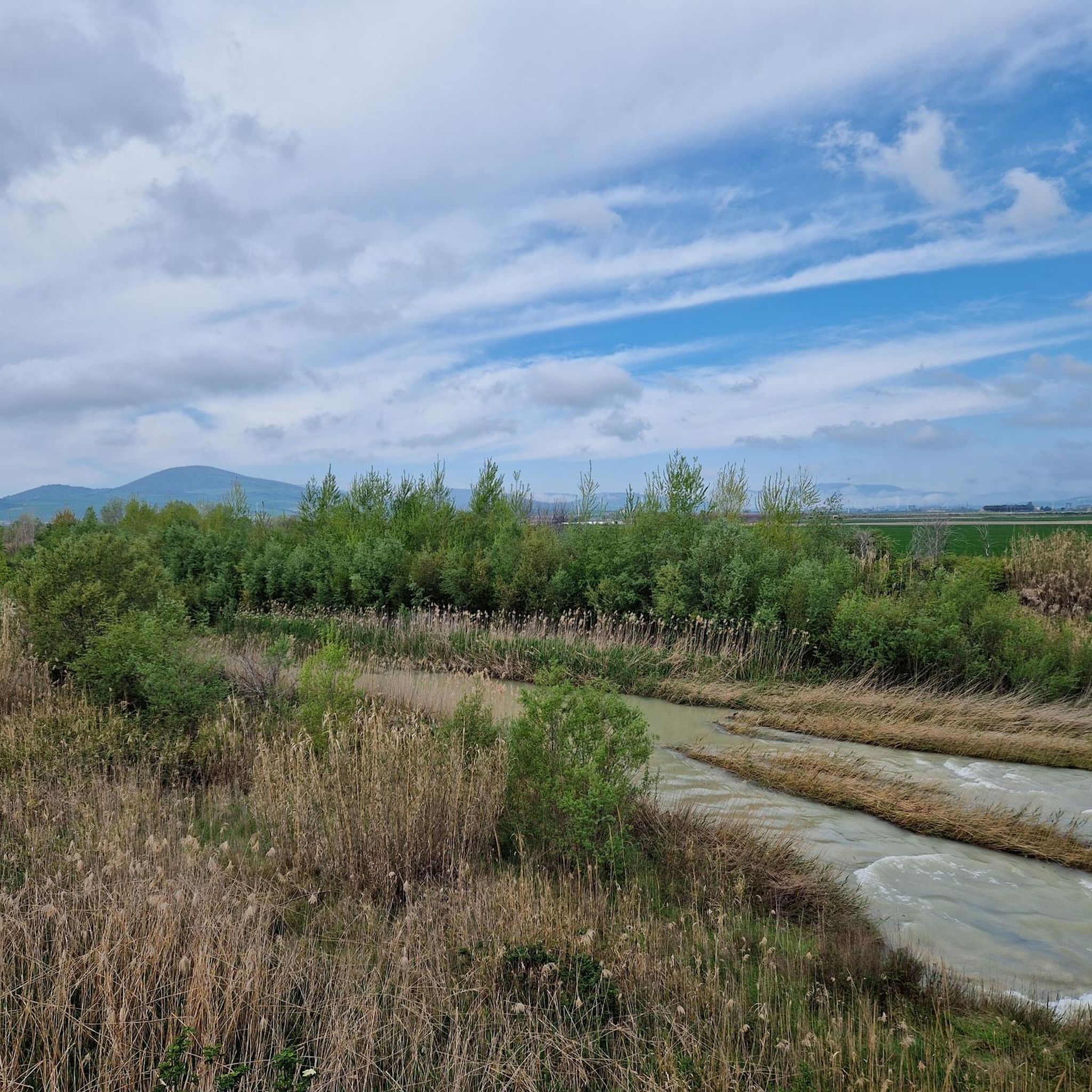
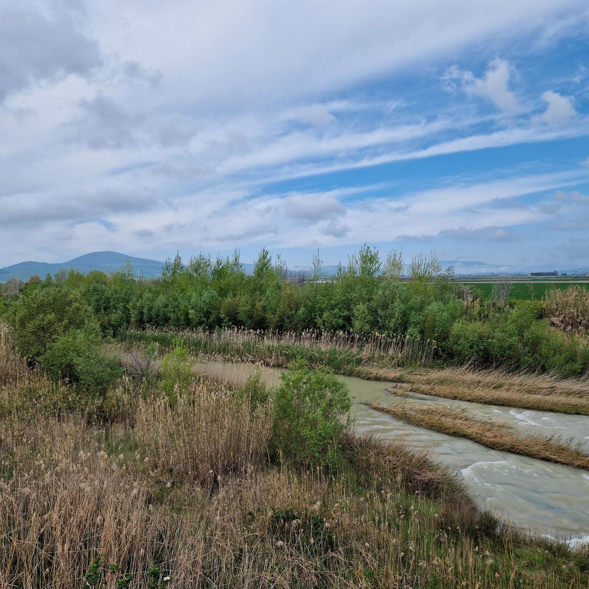
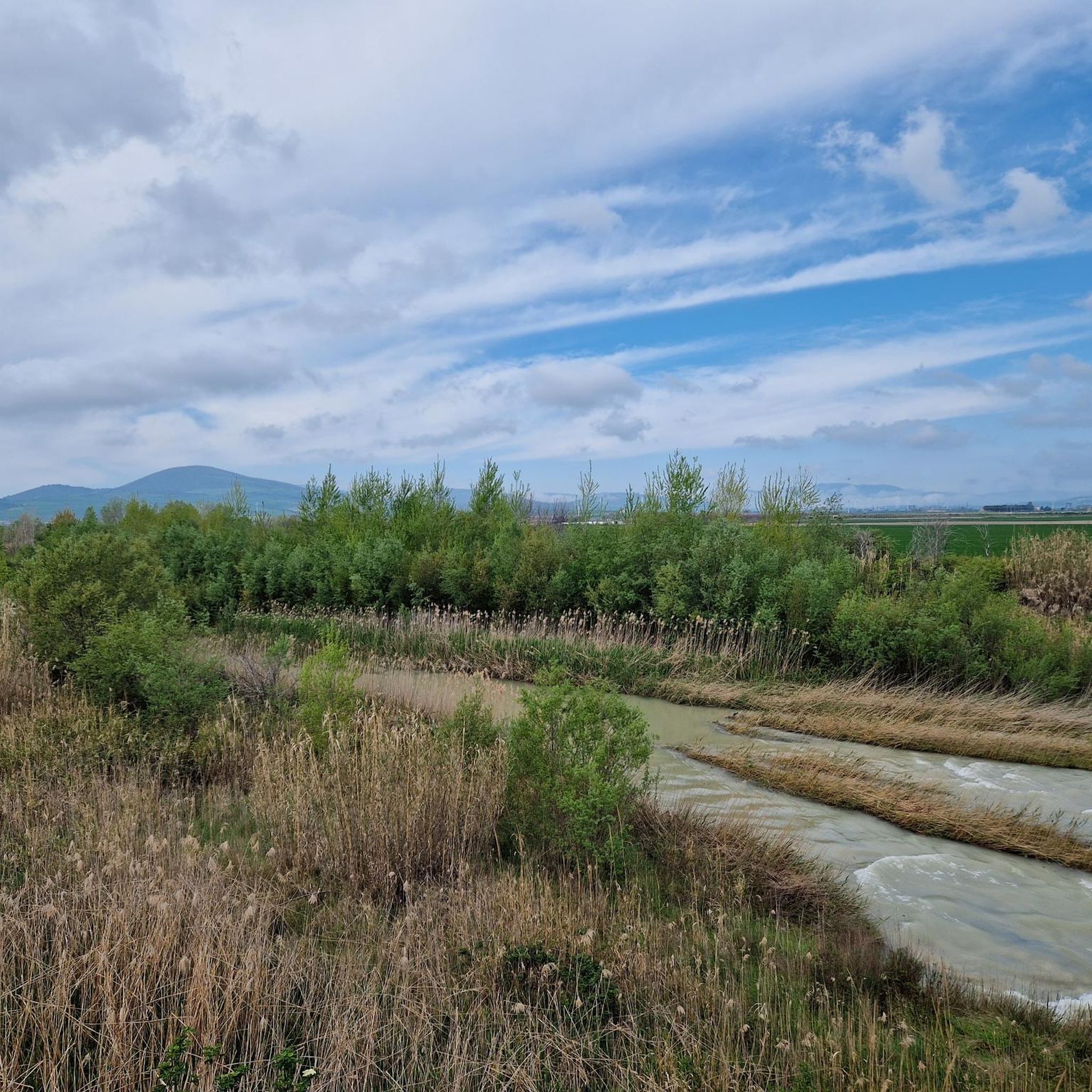
Hiking around Castelluccio Dei Sauri, located in the Foggia province of Puglia, offers trails primarily characterized by rolling agricultural landscapes and historical pathways. The region features gentle ascents and descents, with routes often traversing open fields and occasional woodlands. These paths provide a glimpse into the rural character of the area, connecting small towns and natural reserves.
Best hiking trails around Castelluccio Dei Sauri
- The most popular hiking route is Via Francigena - 128 - Da Castelluccio dei Sauri a…
Last updated: October 10, 2026
3.0
(5)
19
hikers
19.8km
05:12
110m
260m
Hard hike. Very good fitness required. Easily-accessible paths. Suitable for all skill levels.
4.5
(2)
16
hikers
20.3km
05:18
130m
140m
Hard hike. Very good fitness required. Easily-accessible paths. Suitable for all skill levels.

19.2km
05:25
410m
350m
Hard hike. Very good fitness required. Easily-accessible paths. Suitable for all skill levels.
Hard hike. Very good fitness required. Easily-accessible paths. Suitable for all skill levels.
3.5
(2)
6
hikers
7.92km
02:00
20m
20m
Moderate hike. Good fitness required. Easily-accessible paths. Suitable for all skill levels.
Our route recommendations are based on thousands of hikes, rides, and runs completed by other people on komoot.
Start today with a free account
Your next adventure awaits.
Popular around Castelluccio Dei Sauri
Tips from the Community

The Sanctuary of the Incoronata is a Catholic place of worship dedicated to the Black Madonna, who appeared in the year 1001 to a count and a shepherd in the Cervaro wood. Every year, on the last Saturday of April, the feast of the apparition is celebrated with a ride of angels and the offering of oil for the votive lamp. The sanctuary has a bronze crown hanging from the dome, an organ of 2000 pipes and the title of minor basilica.
1
0

Catholic shrine in which a black Madonna is venerated. According to tradition, the Madonna appeared in these places to a nobleman and a shepherd in the year 1001.
2
0

The sanctuary, which covers approximately 1,000 hectares, preserves a small strip of natural vegetation in an intensively managed area. At the moment, the wooded area lapped by the Cervaro stream covers about 320 hectares, of which 162 are high forest and 115 are grassland. It is therefore a diversified area, representing the environments that covered most of Tavoliere in the past.
0
0

It is always nice to pass by this place
0
0

place of popular devotion
0
0
Frequently Asked Questions
What kind of hiking trails can I expect around Castelluccio Dei Sauri?
The trails around Castelluccio Dei Sauri are primarily challenging, with all four listed routes being classified as difficult. These routes often cover significant distances, making them suitable for experienced hikers looking for longer excursions.
Are there any long-distance hiking routes near Castelluccio Dei Sauri?
Yes, the area is part of the Via Francigena network. You can explore segments like Via Francigena - 128 - Da Castelluccio dei Sauri a Ordona, which covers nearly 20 km, or Via Francigena - 129 - Da Ordona a Stornara, offering similar distances.
What are some notable landmarks or attractions I can see near the hiking trails?
Hikers can explore several points of interest. The Sanctuary of the Incoronata and the Sanctuary of the Madonna Incoronata are significant religious sites. The town of Ascoli Satriano is also nearby, offering cultural exploration. For nature lovers, the Bosco Incoronata provides a natural forest environment.
Are there any circular hiking routes in the vicinity?
Yes, for a circular option, consider the Parco Naturale Regionale Bosco Incoronata – ring tour. This route is moderate in difficulty and offers a pleasant loop through the regional park.
What is the general difficulty level of hikes around Castelluccio Dei Sauri?
Most of the hiking routes directly associated with Castelluccio Dei Sauri are rated as difficult, requiring a good level of fitness and preparation. There is one moderate option available in the nearby Parco Naturale Regionale Bosco Incoronata.
What do other hikers say about the trails in Castelluccio Dei Sauri?
The area's trails are rated by the komoot community with an average score of 3.5 stars. Hikers often appreciate the opportunity to explore segments of historical long-distance paths like the Via Francigena.
Are there any routes that connect different towns or settlements?
Yes, many routes are designed for point-to-point travel between towns. For example, the Via Francigena - Variante Bradanica - 02 - Da Ascoli Satriano a Candela connects Ascoli Satriano to Candela, offering a journey through the local landscape.
What kind of terrain can I expect on these hikes?
Given that many routes are part of the Via Francigena, you can expect varied terrain typical of ancient pilgrimage paths, which may include agricultural roads, dirt tracks, and some paved sections as you pass through rural areas and between towns. Elevation changes can be significant on the difficult routes.
How many hiking routes are available in the Castelluccio Dei Sauri area?
There are 5 hiking routes listed for the Castelluccio Dei Sauri area, ranging from moderate to difficult in classification.
Are there any specific routes that are part of the Via Francigena?
Yes, several routes are segments of the Via Francigena. These include Via Francigena - 128 - Da Castelluccio dei Sauri a Ordona, Via Francigena - 129 - Da Ordona a Stornara, Via Francigena - Variante Bradanica - 02 - Da Ascoli Satriano a Candela, and Via Francigena - Variante Bradanica - 01 - Da Ordona a Ascoli Satriano.
Most popular routes around Castelluccio Dei Sauri
Most popular attractions around Castelluccio Dei Sauri

Get inspired with the komoot mobile app


Explore more
Browse the best Hikes in other regions.
