
The best running trails around Santhià
4.7
(12)
708
runners
91
runs
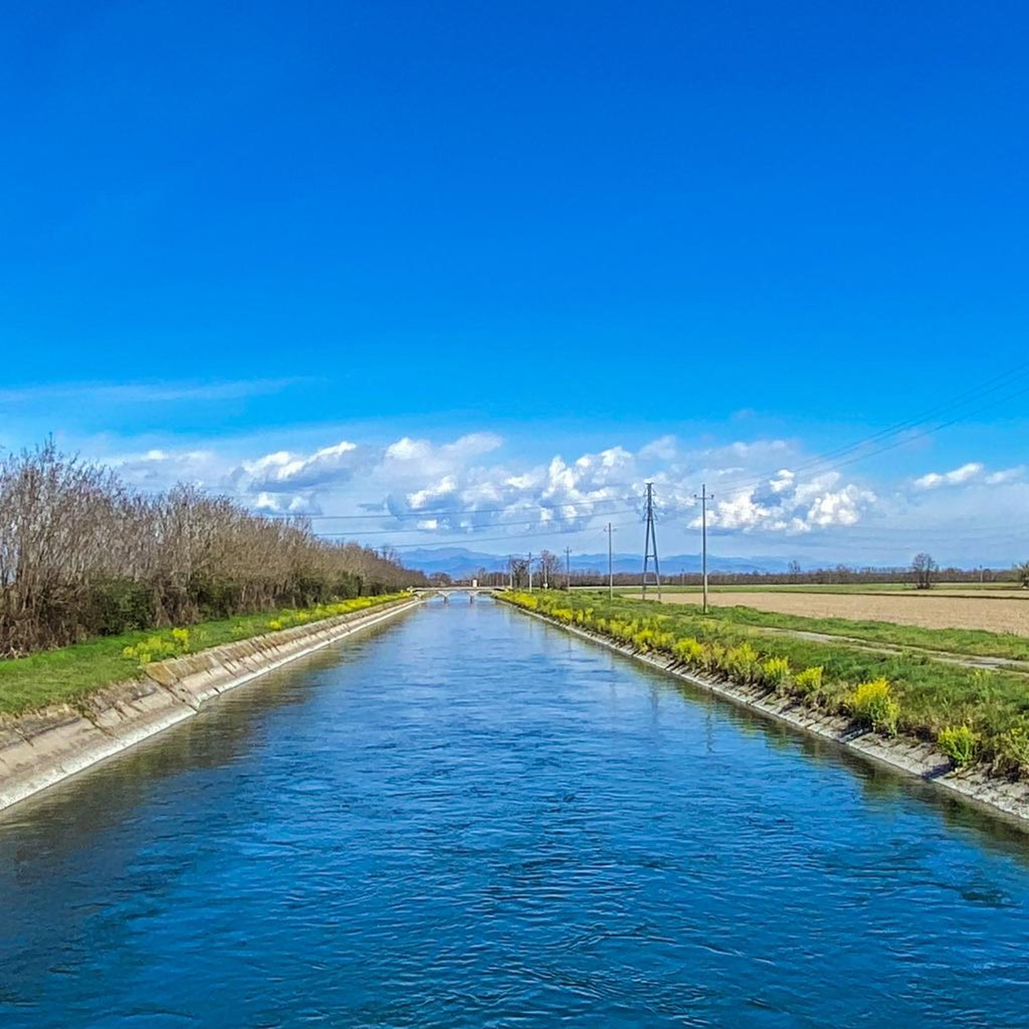
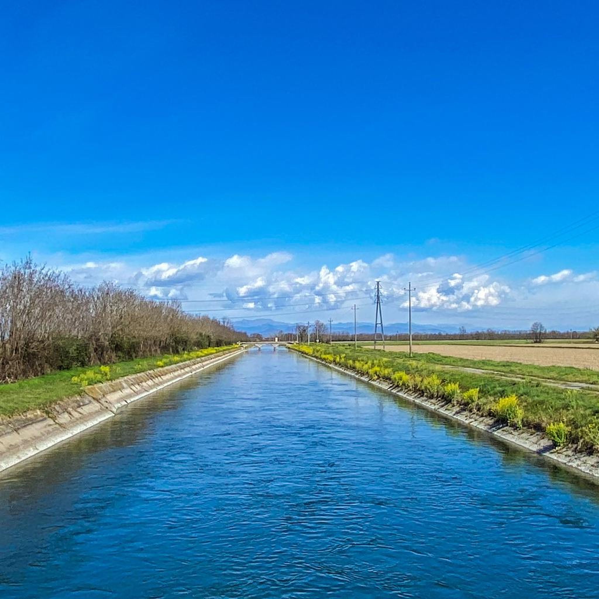
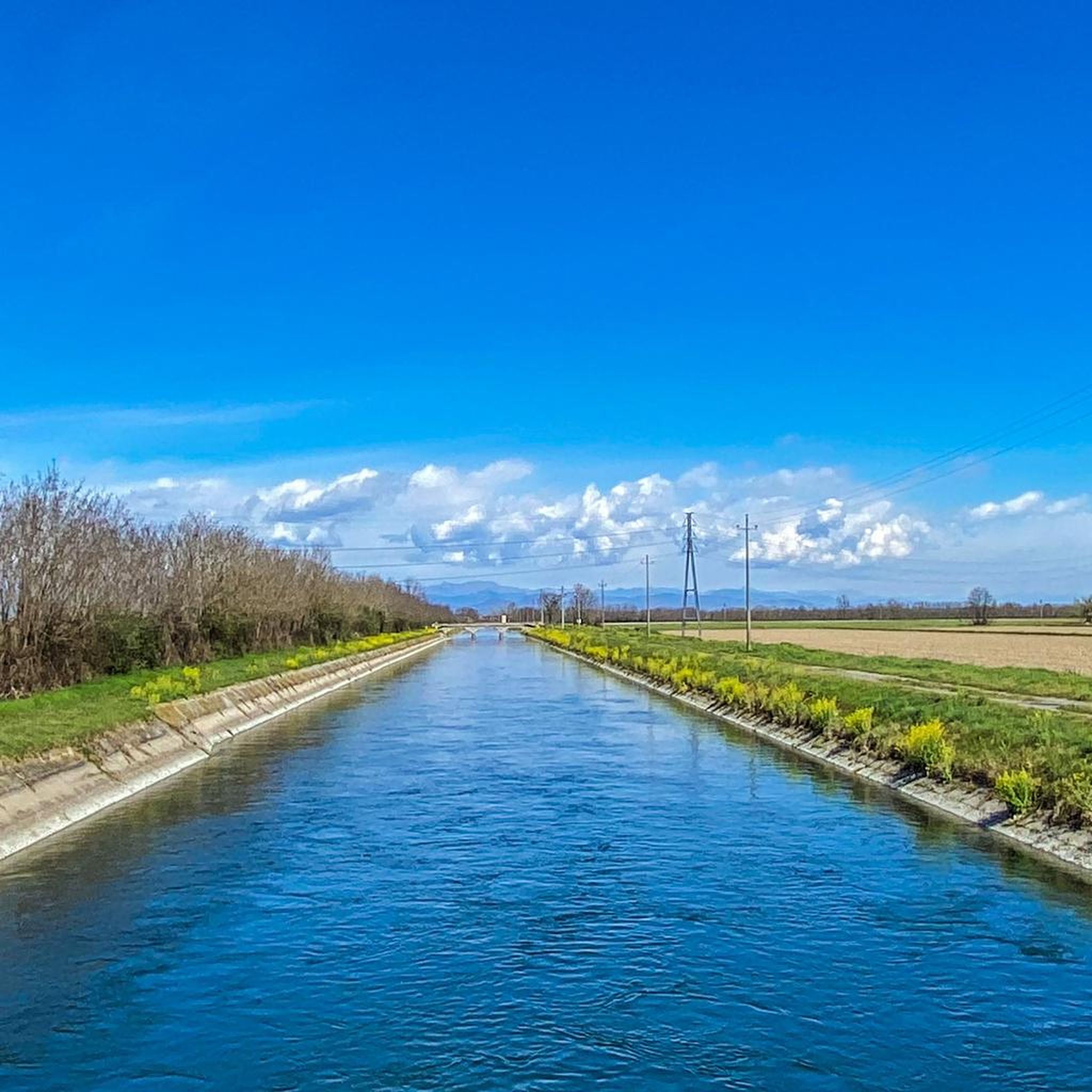
Jogging around Santhià offers diverse landscapes, transitioning from the flat agricultural plains to gentle moraine hills. The region is characterized by extensive rice fields, which provide a unique and scenic backdrop for outdoor activities. Numerous irrigation canals and sections with willow trees line countryside paths, adding to the varied terrain. These features create a mix of easy, flat routes and more challenging inclines for runners.
Best jogging routes around Santhià
- The most popular jogging route is Running loop from Santhià…
Last updated: September 27, 2026
5
runners
11.4km
01:10
30m
30m
Moderate run. Good fitness required. Mostly paved surfaces. Suitable for all skill levels.
6
runners
13.5km
01:30
20m
20m
Moderate run. Good fitness required. Mostly paved surfaces. Suitable for all skill levels.

5
runners
5.55km
00:35
10m
10m
Moderate run. Good fitness required. Mostly paved surfaces. Suitable for all skill levels.
5
runners
12.9km
01:25
20m
20m
Moderate run. Good fitness required. Mostly paved surfaces. Suitable for all skill levels.
3
runners
13.0km
01:21
30m
30m
Moderate run. Good fitness required. Mostly paved surfaces. Suitable for all skill levels.
Get access to more routes and recommendations from other explorers.
Already have an account?
Our route recommendations are based on thousands of hikes, rides, and runs completed by other people on komoot.
Start today with a free account
Your next adventure awaits.



Frequently Asked Questions
How many running routes are available around Santhià?
Santhià offers a wide selection of running routes, with over 100 trails available for exploration. These routes cater to various fitness levels, ranging from easy, flat runs through the rice fields to more challenging paths with varied inclines in the moraine hills.
Are there easy running trails suitable for beginners or families in Santhià?
Yes, Santhià has several easy running trails perfect for beginners or families. The region's flat agricultural plains and quiet country roads provide gentle terrain. Many paths are easily accessible and well-suited for those new to running or looking for a relaxed outing. For example, the historic Running loop from Santhià is a moderate 5.8 miles (9.3 km) route that offers scenic views without significant elevation gain.
What kind of scenery can I expect on the jogging routes in Santhià?
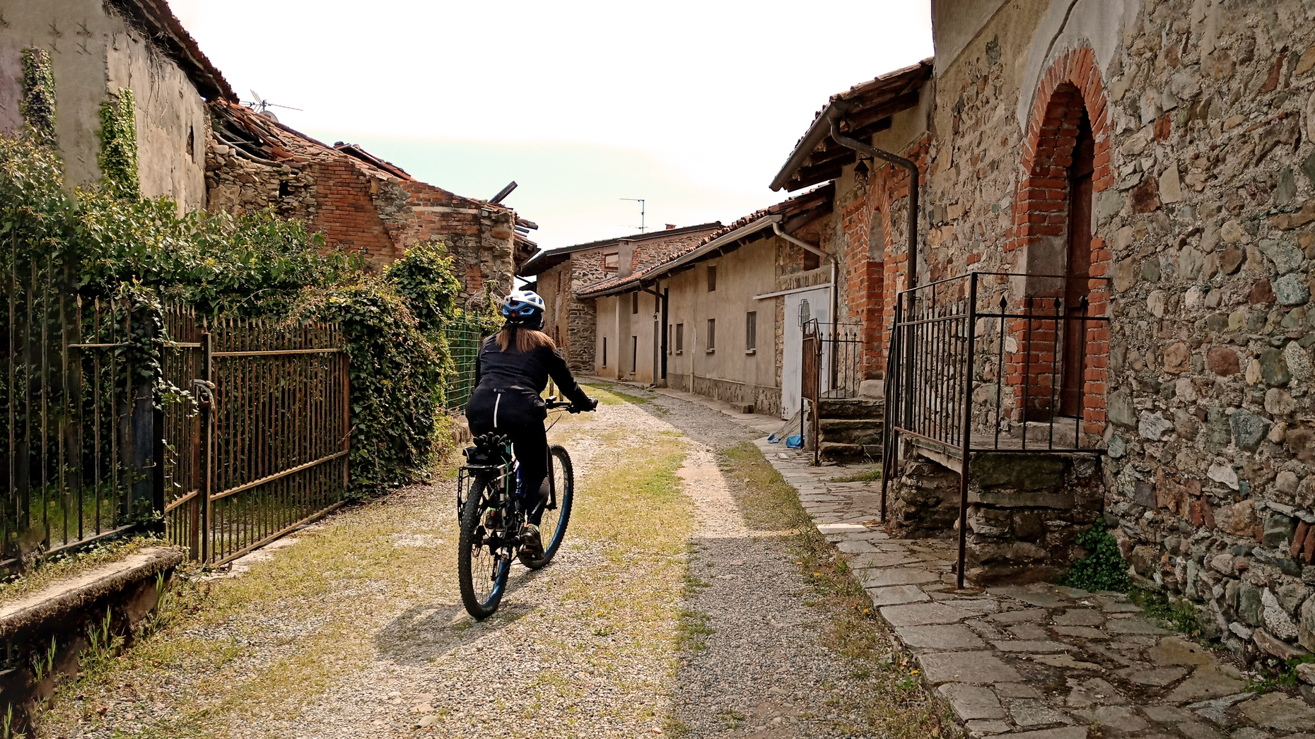
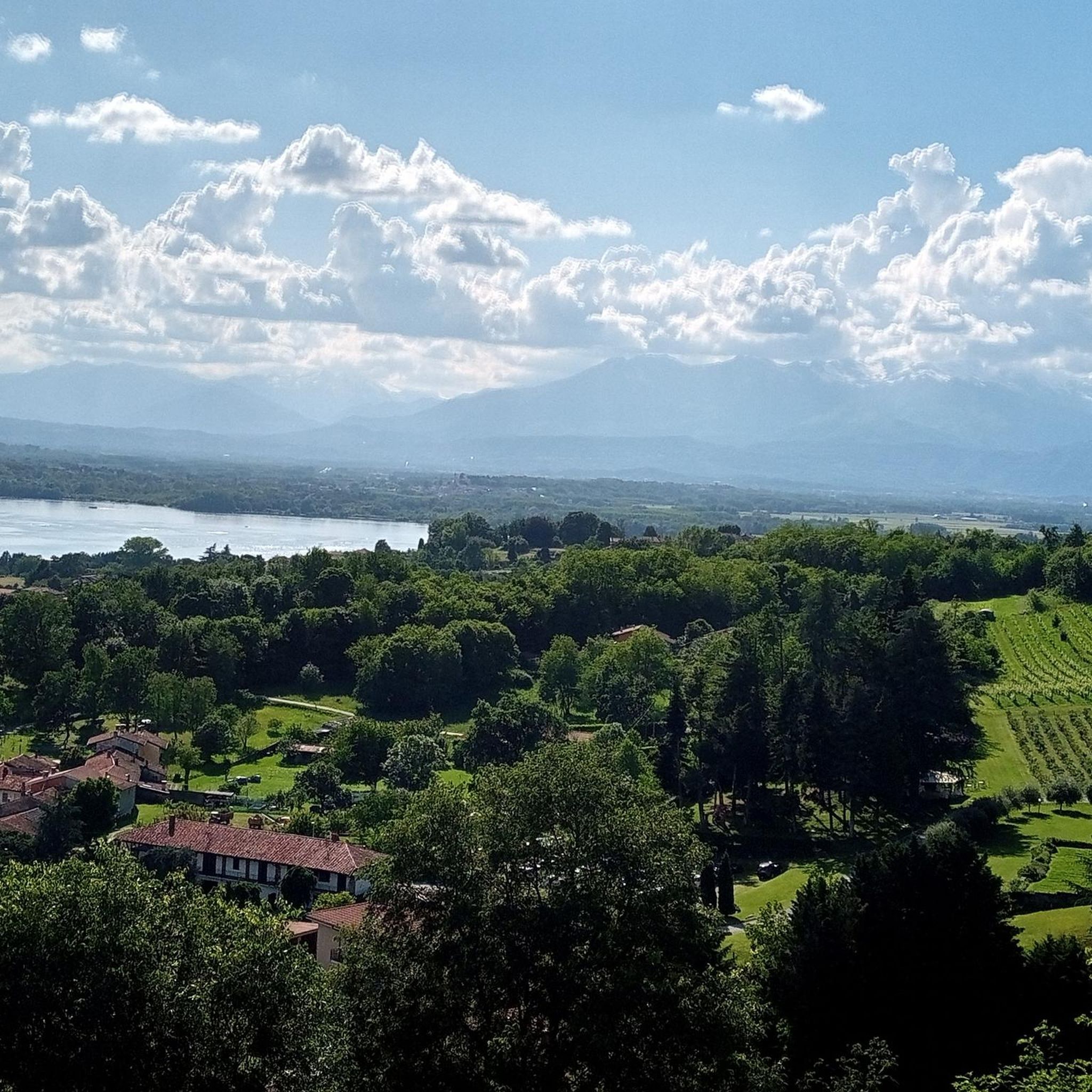
Jogging routes in Santhià offer diverse and picturesque scenery. You'll primarily experience the unique landscape of extensive rice fields, especially beautiful when flooded in spring or lush green in summer. Many paths also feature irrigation canals lined with willow trees. As you move away from the plains, you'll encounter gentle moraine hills, providing varied inclines and broader views. The area is also home to diverse birdlife, including herons and storks, adding to the natural observation opportunities.
Are there any circular running routes in the Santhià area?
Yes, many of the running routes around Santhià are circular, allowing you to start and finish at the same point. A popular option is the Parish of Saint Agatha loop from Santhià, a moderate 7.3 miles (11.7 km) path that winds through flat plains and historical sites. Another great choice is the Running loop from Salomino, which takes you through rice fields and quiet country roads.
What are some interesting landmarks or attractions I can see while running in Santhià?
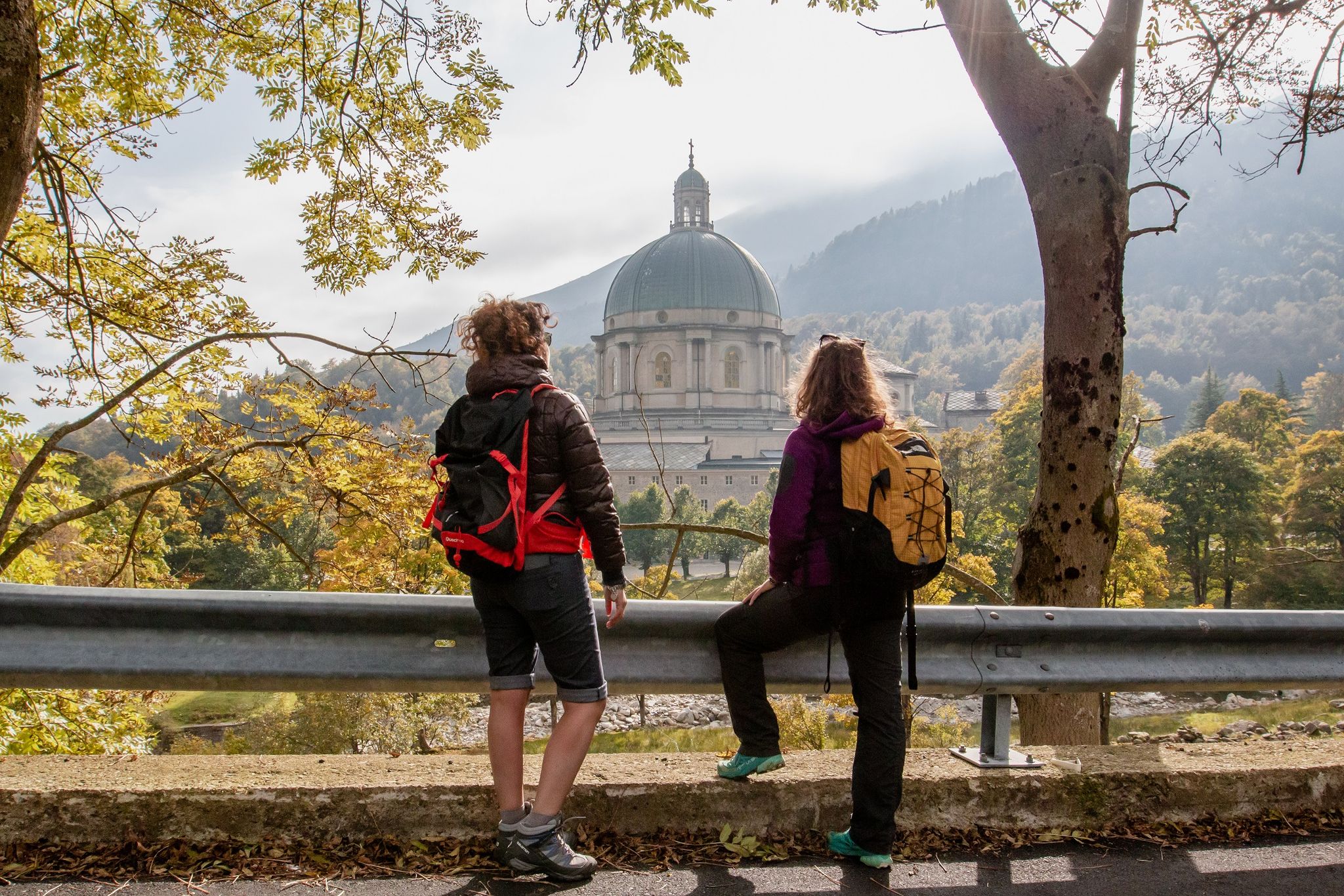
The running routes in Santhià often pass by or are near interesting historical and natural landmarks. You can combine your run with visits to sites like the Romanesque crypt within the Parish of Saint Agatha or the 15th-century Castle of Vettignè. Natural attractions include the nearby Lake Bertignano and the Pile-dwelling Village at Lake Viverone, both formed by glacial retreat. The Roman Sepulchral Roc della Regina is another historical highlight you might encounter.
Are there running routes that follow historical paths in Santhià?
Absolutely. Santhià is an important stage on the historic Via Francigena, a medieval pilgrimage route. You can experience a section of this ancient path, which offers an accessible run through agricultural landscapes and past historic sites. Additionally, the Oropa Path (Cammino di Oropa della Serra) connects Santhià to the Marian sanctuary in Biella, offering options for longer runs or walks along a significant historical route.
What is the best time of year for running in Santhià?
The best time of year for running in Santhià largely depends on your preference for scenery. Spring is particularly picturesque when the rice fields are flooded, creating stunning reflections. Summer offers lush green landscapes. The mild temperatures of spring and autumn generally provide the most comfortable conditions for outdoor activities. While winter running is possible, be prepared for cooler temperatures and potentially muddy paths.
Are the running trails in Santhià dog-friendly?
Many of the country roads and farm tracks that make up the running routes through Santhià's rice fields and moraine hills are generally dog-friendly. However, it's always advisable to keep your dog on a leash, especially when passing through agricultural areas or near wildlife. Always respect local regulations and ensure your dog is well-behaved around other users and livestock.
What do other runners enjoy most about jogging in Santhià?
The running routes in Santhià are highly rated by the komoot community, with an average score of 4.8 stars from over 5 reviews. Runners often praise the unique and relaxing landscape of the rice fields, the quiet country roads, and the variety of terrain that transitions from flat plains to gentle hills. The accessibility of the paths and the opportunity to combine runs with visits to historical sites are also frequently highlighted.
Are there any longer or more challenging running routes available?
Yes, for those seeking a greater challenge, Santhià offers routes with more significant distance and elevation gain. While many routes are moderate, you can find options that venture into the moraine hills and towards the Biella Prealps. For example, the Roppolo Castle – Ascent to Roppolo Castle loop from Santhià is a difficult 19.8 miles (31.8 km) route with substantial elevation, providing a demanding and rewarding experience.
Is public transport available to access running routes in Santhià?
Santhià is a town with good regional connections. While specific public transport links directly to the start of every trail might vary, the town itself is accessible by train, making it a convenient base. Many routes, including popular loops, start directly from Santhià, allowing you to begin your run right from the town center. For routes further afield, local bus services might connect to nearby villages, but checking specific timetables is recommended.
Most popular attractions around Santhià

Get inspired with the komoot mobile app


Explore more
Browse the best Running Trails & Routes in other regions.
