The 8 Most Amazing Peaks around Nassogne
Best mountain peaks around Nassogne are characterized by lush, wooded hills and rolling landscapes within the Belgian Ardennes. The region's highest point reaches an elevation of approximately 560 meters, offering scenic vistas and challenging climbs. Nassogne itself sits at an altitude of 409 meters, providing a gateway to diverse terrain and natural environments. Over 40% of the area is covered with woodlands, creating a serene setting for outdoor activities.
Best mountain peaks around Nassogne
- The most popular mountain peaks is…
Last updated: October 3, 2026
Col de Haussire Climb (Southwest via Rue Sainte-Marguerite)
Highlight (Segment) • Climb
The climb can be started …
Translated by Google •
Tip by

Climb Montée de La Maladrie from Marcourt
Highlight (Segment) • Climb
Translated by Google •
Tip by

Sign up now to discover places like this
Get recommendations on the best single tracks, peaks, & plenty of other exciting outdoor places.
Climb Côte de Beffe
Highlight (Segment) • Climb
Even if you're mountain biking, it's nice to take a break
Translated by Google •
Tip by

Climb Col de Haussire South-West via Rue Gohette
Highlight (Segment) • Climb
Translated by Google •
Tip by

Summit of Au Givre Alt 520 m
Highlight • Summit
Look around and enjoy the different types of trees.
Translated by Google •
Tip by

Sign up for free to discover even more peaks around Nassogne.
Already have an account?
Start today with a free account
Your next adventure awaits.
Popular around Nassogne
From Picardie to the Ardennes — Crossing Wallonia by Bike
At the heart of the Géoparc Famenne-Ardenne — The Transfamenne
The great crossing of the Belgian Ardennes — La Transardennaise
A Tour of Belgian Luxembourg — the greenest province of the kingdom
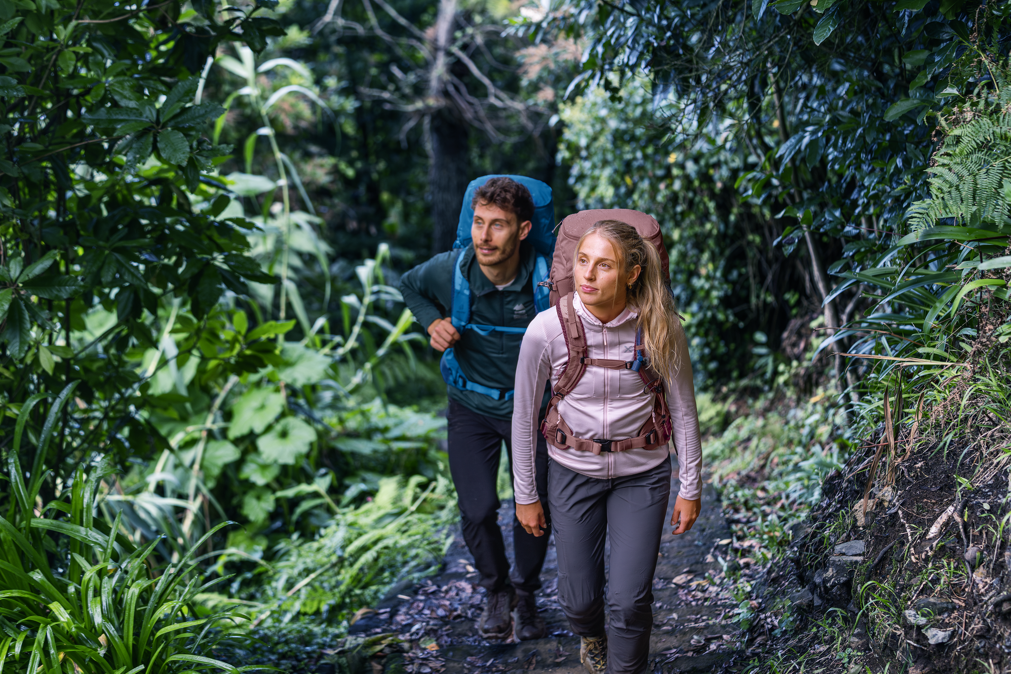
Rucksack auf und los – Weitwandern mit deuter in Belgien und den Niederlanden
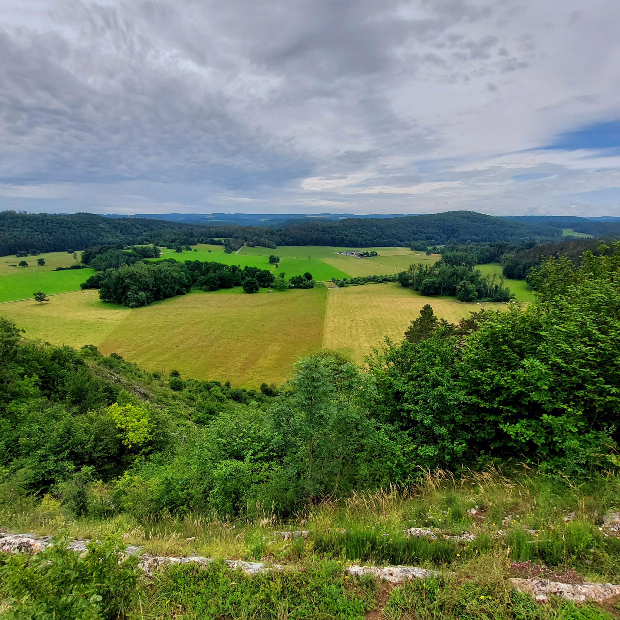
Hiking around Nassogne
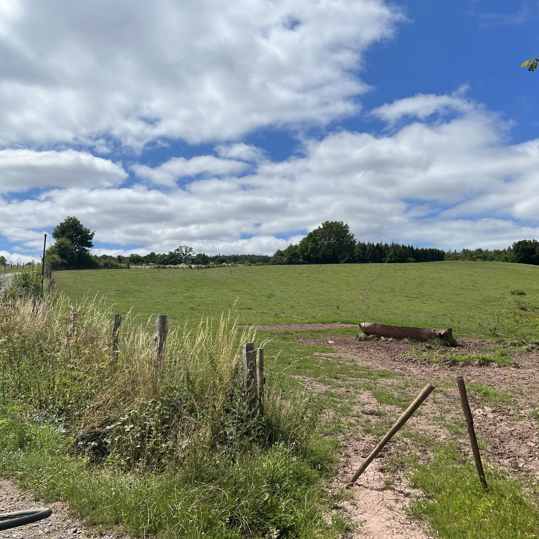
Road Cycling Routes around Nassogne
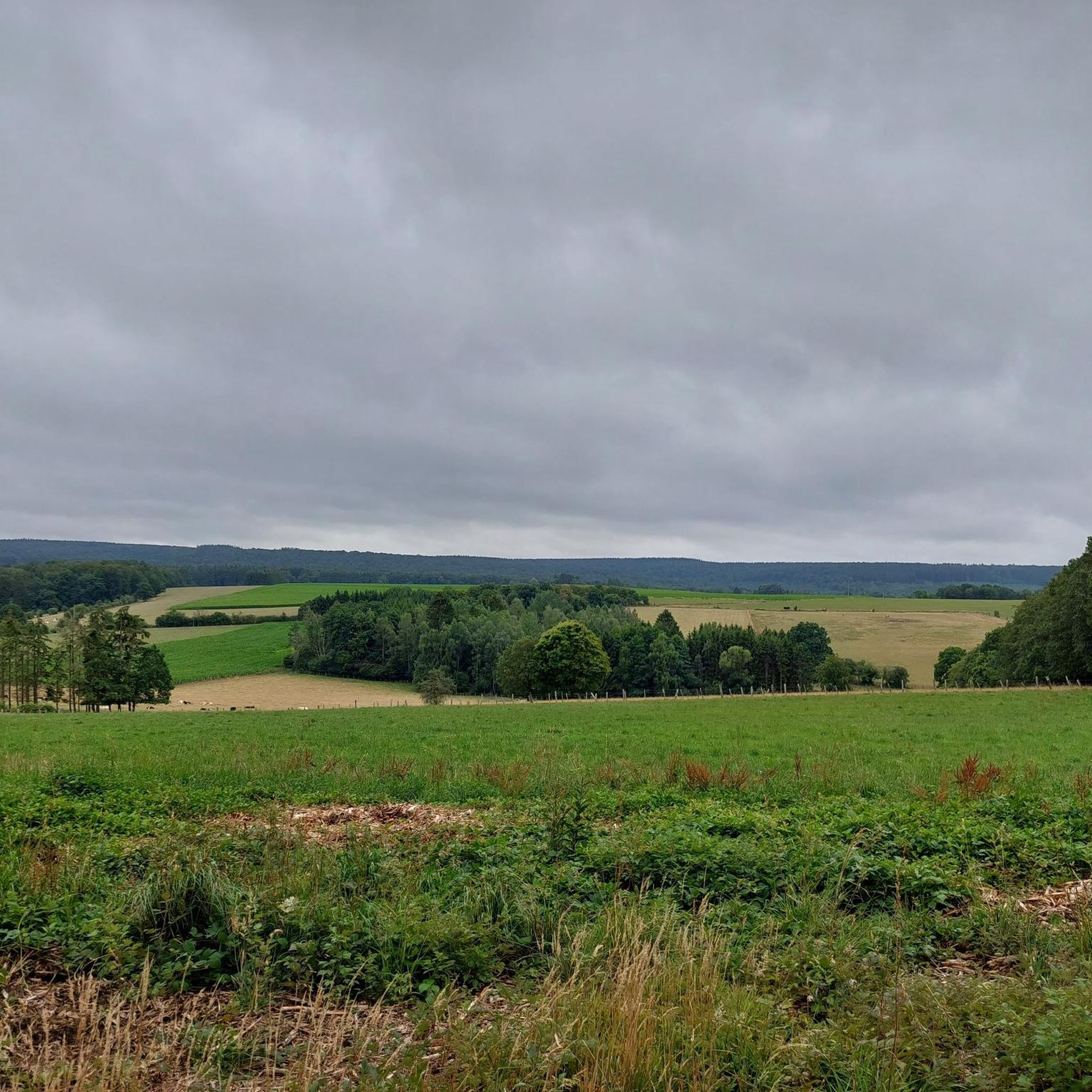
Running Trails around Nassogne
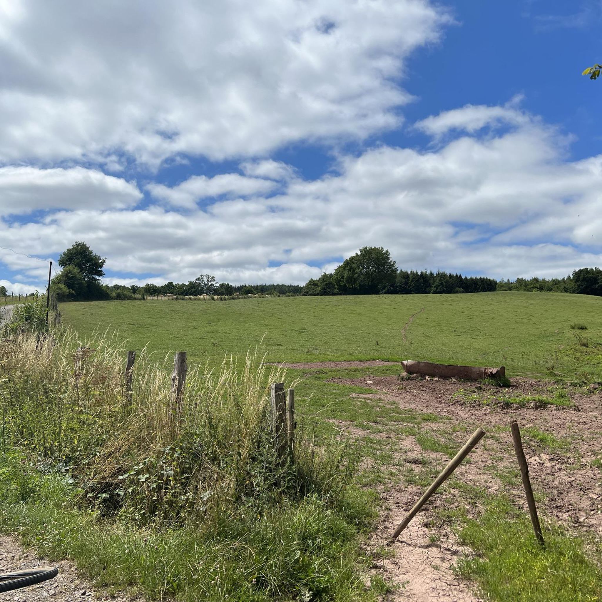
MTB Trails around Nassogne
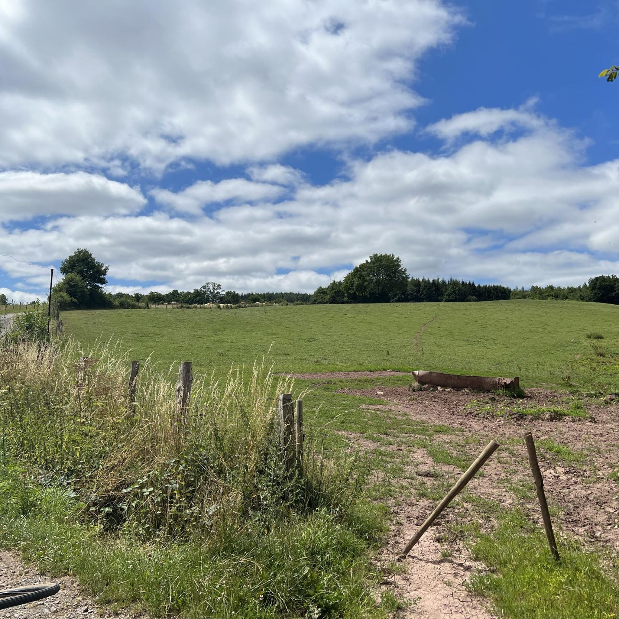
Cycling around Nassogne
Other adventures around Nassogne


Tips from the Community

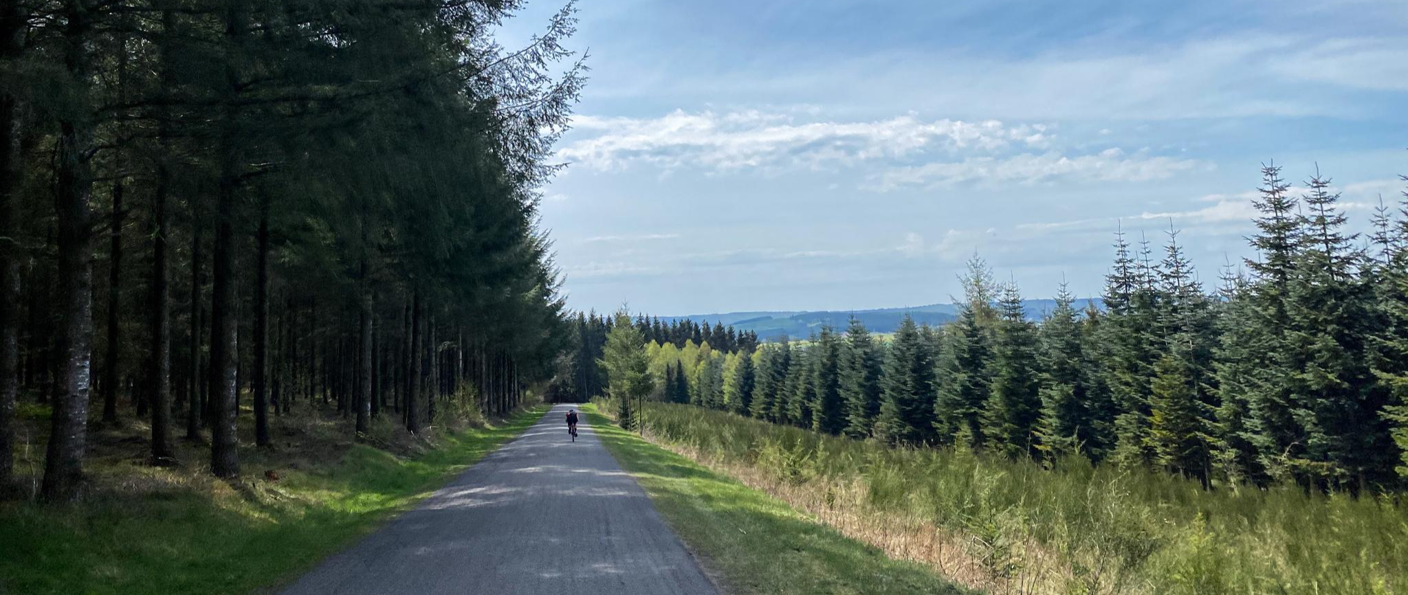
A "nice hill" in the Ardennes. The quality of the asphalt makes it a bit harder. Luckily, it's located in the forest, making it easy to ride even in summer. Eat well and drink plenty of water beforehand.
1
0

A steep climb from La Roche on a car-free cobbled road. There are welcome descents in between.
0
0

At this location you are standing at the highest point of the Bois Au Givre. Look around and enjoy the different types of trees.
8
0

Very nice climb! Steep but certainly not impossible. Depending on where you start, the climb is actually divided into 2 or 3 parts. Try to recover before you have to pedal up another 2km at about 8-10% at the end. Not steep, but long! I didn't like the descent myself: too steep for me in combination with bad asphalt. But still definitely worth doing the climb!
3
0

Long and steep climb that can be climbed in 4 different ways. At the wildlife park you have up to 17% gradient
1
0

1st part is the Côte du Parc à Gibier cotacol nr 452, a slope of 1600m and an average of 8.8% Then you descend a bit to then climb 1300m again at about 10% on average to the top of Haussire.
2
1
Cotacol nr 79, a slope of 1400m and an average 9.9%
0
0

Nice ascent or descent between Rendeux and Beffe. Even if you're mountain biking, it's nice to take a break
3
0
Frequently Asked Questions
What kind of 'mountain peaks' can I expect to find around Nassogne?
Nassogne is characterized by lush, wooded hills and rolling landscapes rather than traditional towering mountain peaks. The highest points reach around 560 meters, offering scenic vistas and challenging climbs, particularly for cyclists. The region is part of the Belgian Ardennes, known for its diverse terrain and extensive woodlands.
Are there any particularly challenging climbs for cyclists near Nassogne?
Yes, Nassogne is well-known for its challenging climbs. The Col de Haussire Climb (Southwest via Rue Sainte-Marguerite) is considered one of the toughest in Belgium due to its length and gradient, featuring sections with an average of 8.8% and 10% incline. Another notable climb is the Climb Côte de Beffe, which has an average gradient of 9.9% over 1400 meters.
Where can I find panoramic views or viewpoints in the Nassogne area?
The region offers several excellent viewpoints. The Summit of Au Givre Alt 520 m provides a high point within the Bois Au Givre forest. Additionally, the Priesse Mirador, a 5-meter high structure, offers a 180° panoramic view and is ideal for observing wildlife. The Bilaude hide also provides clear views over 15-20 hectares, including the Bilaude pond. You can find more information about these observation points on the Visit Wallonia website.
What are some popular hiking trails with views near Nassogne?
Nassogne offers numerous hiking trails that capitalize on the elevated terrain for stunning views. Popular routes include the 8.13 km "View of the Ardennes – Nassogne loop from Ambly" and the 7.41 km "Nassogne – View of the Ardennes loop from Nassogne." For a longer option, consider the 10.4 km "Auberge Prévost – View of Mormont loop from Masbourg." You can explore more hiking options in the Hiking around Nassogne guide.
Are there any forest climbs or routes with new tarmac for cycling?
Yes, the Climb Montée de La Maladrie from Marcourt is a notable route that takes you through a forest. This climb has been recently redesigned with new tarmac, providing a smooth experience through a natural setting with a consistent ascent.
Can I find car-free cycling routes on the climbs around Nassogne?
Yes, the Climb Col de Haussire South-West via Rue Gohette, starting from La Roche, is known for its car-free cobbled road. This challenging ascent offers welcome descents interspersed with the climbs, providing a unique cycling experience.
What kind of outdoor activities are available besides cycling and hiking?
Beyond cycling and hiking, the Nassogne area is excellent for gravel biking and running. You can find various routes, such as the "Long descent with scenic view – Stream Near Smuid loop from Grupont" for gravel biking, or the "Dochamps Church – View of the Ardennes loop from Nassogne" for running. Discover more options in the Gravel biking around Nassogne guide and the Running Trails around Nassogne guide.
What is the highest point I can reach in the Nassogne area?
The highest point within the Nassogne region reaches an elevation of approximately 560 meters, located within its extensive forests. Nassogne itself sits at an altitude of 409 meters, serving as a gateway to these elevated areas.
Are there any accessible viewpoints for people with reduced mobility?
Yes, the Bilaude hide is specifically designed to be accessible to individuals with reduced mobility. It offers clear views over 15-20 hectares, including the Bilaude pond and feeding areas, blending into the natural environment for a peaceful observation experience.
What do visitors appreciate most about the mountain peaks and landscapes around Nassogne?
Visitors highly appreciate the serene wooded environment, the opportunities for challenging cycling and hiking on its rolling hills and climbs, and the carefully designed viewpoints that allow for immersion in nature and observation of local fauna. The diverse network of trails caters to various fitness levels, making it an ideal destination for outdoor enthusiasts.
Are there any long-distance trails or extended routes for hiking around Nassogne?
While specific long-distance trails aren't detailed, the region offers several longer moderate hikes. For example, the "Auberge Prévost – View of Mormont loop from Masbourg" is 10.4 km, and the "Nassogne – Nassogne Water Tower loop from Nassogne" is 13.9 km. These provide extended opportunities to explore the diverse landscapes. More routes can be found in the Hiking around Nassogne guide.
Most popular routes around Nassogne
Most popular attractions around Nassogne

Get inspired with the komoot mobile app


Explore more
See even more amazing summits around Nassogne with these guides:
