The best walks and hikes around Martirano Lombardo
4.2
(23)
54
hikers
8
hikes
Hiking around Martirano Lombardo offers diverse terrain within the Serre Regional Natural Park, characterized by hills and mountains. The region features dense woods of beech, chestnut, and oak, with the Savuto River adding to the natural landscape. Elevations vary significantly, from the town's altitude of 500-600 meters to an impressive 1,182-meter difference across the municipality, including Mount Molinara. Specific natural areas like Parco Bombarda provide additional opportunities for exploration.
Best hiking trails around Martirano Lombardo
- The most popular hiking route…
Last updated: July 27, 2026
3.9
(7)
11
hikers
10.9km
03:21
390m
390m
Moderate hike. Good fitness required. Easily-accessible paths. Suitable for all skill levels.
4.3
(3)
7
hikers
15.2km
04:47
600m
600m
Moderate hike. Good fitness required. Easily-accessible paths. Suitable for all skill levels.

Sign up for free
3.9
(7)
11
hikers
11.0km
03:23
410m
410m
Moderate hike. Good fitness required. Easily-accessible paths. Suitable for all skill levels.
5.0
(1)
9
hikers
8.16km
02:36
350m
350m
Moderate hike. Good fitness required. Easily-accessible paths. Suitable for all skill levels.
4.3
(3)
9
hikers
10.4km
03:17
410m
410m
Moderate hike. Good fitness required. Easily-accessible paths. Suitable for all skill levels.
Get access to more routes and recommendations from other explorers.
Sign up for free
Already have an account?
Our route recommendations are based on thousands of hikes, rides, and runs completed by other people on komoot.
Start today with a free account
Your next adventure awaits.
Login or Signup

Tips from the Community

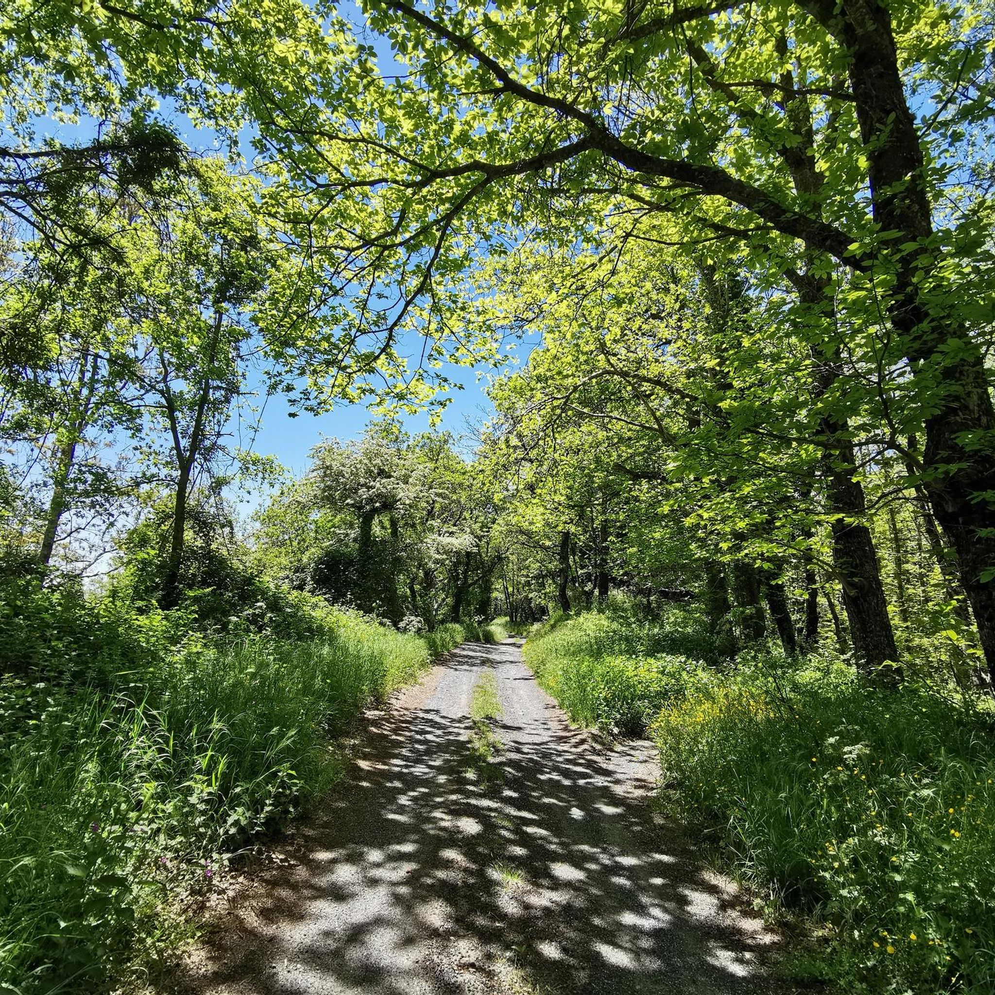
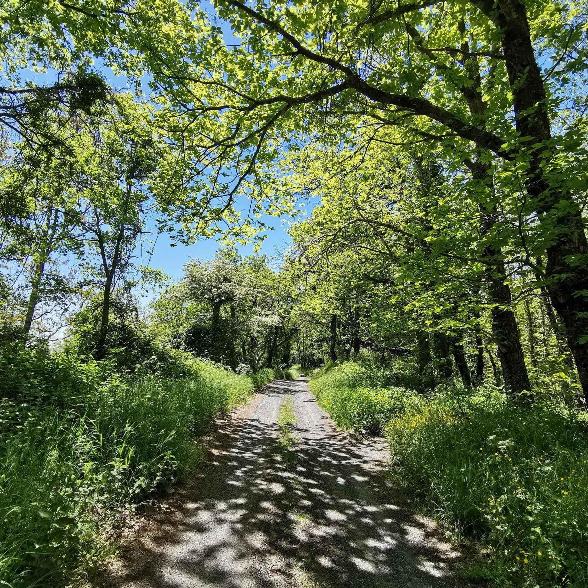
Immersed in nature and the silence of the woods
0
0

The Reventino massif is located at 1417m and is part of the Calabrian Apennines. To the north is the Savuto Valley.
2
1
Near this part of the path, protected by some trees, is the Falerna refuge. The refuge itself is located at an altitude of 1074 meters.
2
0

Small, slightly shabby refuge from which you can enjoy a beautiful view and enjoy a well-deserved rest in silence.
0
0
Frequently Asked Questions
What kind of terrain can I expect on hiking trails around Martirano Lombardo?
Hiking around Martirano Lombardo primarily features diverse terrain within the Serre Regional Natural Park. You'll encounter hills and mountains, with dense woodlands of beech, chestnut, and oak. The municipality has a significant altitude difference of 1,182 meters, offering varied landscapes and views, including areas around Mount Molinara and the Savuto River.
Are there any family-friendly hiking options in Martirano Lombardo?
While the listed routes are generally moderate, the region offers a variety of itineraries, including more accessible paths that weave through the village and its ancient architecture. These historical routes can be suitable for families looking for less strenuous walks to discover local culture and nature.
What are some notable natural features or landmarks to look out for while hiking?
The region is rich in natural beauty. You'll be hiking within the Serre Regional Natural Park, with dense woods and the Savuto River nearby. A significant natural area is Parco Bombarda, which is crisscrossed with numerous paths. Additionally, the Angevin Castle of Savuto offers a historical point of interest.
What is the best time of year to go hiking in Martirano Lombardo?
Martirano Lombardo benefits from a Mediterranean climate, with mild and humid winters and hot, dry summers. This generally favorable weather allows for outdoor activities for a good portion of the year. Spring and autumn are typically ideal for hiking, offering pleasant temperatures and vibrant scenery.
Are there any circular hiking routes available?
Yes, there are several circular routes. For example, you can explore the Monte Reventino Loop, which is about 10.9 km long, or the more challenging Monte Mancuso Ring Trail, spanning 15.2 km. Another option is the Parco Bombarda loop from Monte Castelluzzo, which is 10.4 km.
What do other hikers say about the trails in Martirano Lombardo?
The routes in Martirano Lombardo are highly rated by the komoot community, with an average score of 3.9 stars from over 10 reviews. Hikers often praise the varied terrain and the natural beauty of the Serre Regional Natural Park.
How many hiking trails are available in the Martirano Lombardo area?
There are currently 7 hiking routes documented on komoot for the Martirano Lombardo area, all of which are rated as moderate in difficulty.
Are there any historical sites or castles accessible via hiking trails?
Yes, the Angevin Castle of Savuto is a notable historical point of interest in the area, contributing to the overall visitor experience alongside the natural beauty.
What is the typical duration for a moderate hike in this region?
For moderate hikes in Martirano Lombardo, durations can vary. For instance, the Monte Reventino Loop typically takes around 3 hours and 21 minutes, while the Road to Rifugio Falerna loop from Falerna is about 3 hours and 8 minutes.
What is the elevation gain like on the trails around Martirano Lombardo?
The trails in Martirano Lombardo feature varied elevation changes due to the region's hilly and mountainous topography. For example, the Monte Mancuso Ring Trail involves an ascent of nearly 600 meters, while the Monte Reventino Loop has an elevation gain of about 394 meters.
Are there any specific areas known for their natural beauty or unique ecosystems?
Martirano Lombardo is situated within the Serre Regional Natural Park, which is known for its rich natural environment and diverse ecosystem. The area is characterized by dense woods of beech, chestnut, and oak. Parco Bombarda, near Monte Mancuso, is particularly highlighted as a precious natural oasis.
Most popular attractions around Martirano Lombardo

Get inspired with the komoot mobile app


Explore more
Browse the best Hikes in other regions.
