The best MTB trails around Le Poislay
5.0
(1)
18
riders
3
rides
Mountain biking around Le Poislay features a landscape characterized by gentle rolling hills and rural terrain, with routes often following waterways and passing through agricultural areas. The region offers varied elevation gains, indicating a mix of flatter sections and moderate climbs. These trails provide opportunities to explore the French countryside on two wheels.
Best mountain bike trails around Le Poislay
- The most popular mountain bike trail is Mountainbike loop from Saint-Avit, a 20.2 miles (32.5 km) trail that takes about 2 hours 15 minutes to complete, offering a moderate challenge through the local landscape.
- Another top favourite among local mountain bikers is Tour de Mondoubleau loop from Saint-Agil, a moderate 23.6 miles (37.9 km) path. This route explores the area around Mondoubleau, featuring varied terrain and scenic views.
- Local mountain bikers also love the Taillefer Waterway loop from Saint-Agil, a 35.9 miles (57.8 km) trail leading through rural landscapes and along the Taillefer Waterway, often completed in about 4 hours 12 minutes.
- Mountain biking around Le Poislay is defined by rolling hills, rural paths, and waterways. The network offers options for both easy and moderate ability levels, with routes ranging from 18.0 miles (28.9 km) to 35.9 miles (57.8 km).
- The routes in Le Poislay are highly rated by the komoot community with an average score of 5.0 stars from over 1 review. More than 18 mountain bikers have used komoot to explore Le Poislay's varied terrain.
Last updated: May 25, 2026
6
riders
32.5km
02:16
280m
280m
Moderate mountain bike ride. Good fitness required. Suitable for all skill levels.
5
riders
37.9km
02:31
360m
360m
Moderate mountain bike ride. Good fitness required. Advanced riding skills necessary.

Sign up for free
5.0
(1)
5
riders
57.8km
04:12
510m
510m
Moderate mountain bike ride. Good fitness required. Suitable for all skill levels.
2
riders
28.9km
01:35
140m
140m
Easy mountain bike ride. Great for any fitness level. Suitable for all skill levels.
Our route recommendations are based on thousands of hikes, rides, and runs completed by other people on komoot.
Start today with a free account
Your next adventure awaits.
Login or Signup


Frequently Asked Questions
How many mountain bike trails are available around Le Poislay?
There are 3 mountain bike trails documented around Le Poislay on komoot, offering a range of experiences through the local countryside.
Are there any easy mountain bike trails for beginners in Le Poislay?
Yes, beginners can enjoy the Taillefer Waterway – Restaurant loop from Arville. This easy route covers 18.0 miles (28.9 km) with minimal elevation gain, making it a great option for those new to mountain biking.
What is the best time of year for mountain biking in Le Poislay?
Le Poislay's rural terrain and gentle rolling hills are generally enjoyable for mountain biking throughout the spring, summer, and autumn months. These seasons typically offer pleasant weather and good trail conditions for exploring the French countryside.
Are there any mountain bike trails that form a loop in Le Poislay?
Yes, all the mountain bike trails listed for Le Poislay are loop routes. For example, you can try the Mountainbike loop from Saint-Avit or the Tour de Mondoubleau loop from Saint-Agil.
What kind of terrain can I expect on mountain bike trails in Le Poislay?
The mountain bike trails in Le Poislay feature gentle rolling hills and rural terrain, often following waterways and passing through agricultural areas. You'll encounter a mix of flatter sections and moderate climbs, characteristic of the French countryside.
What are some interesting landmarks or attractions I can see near the mountain bike trails?
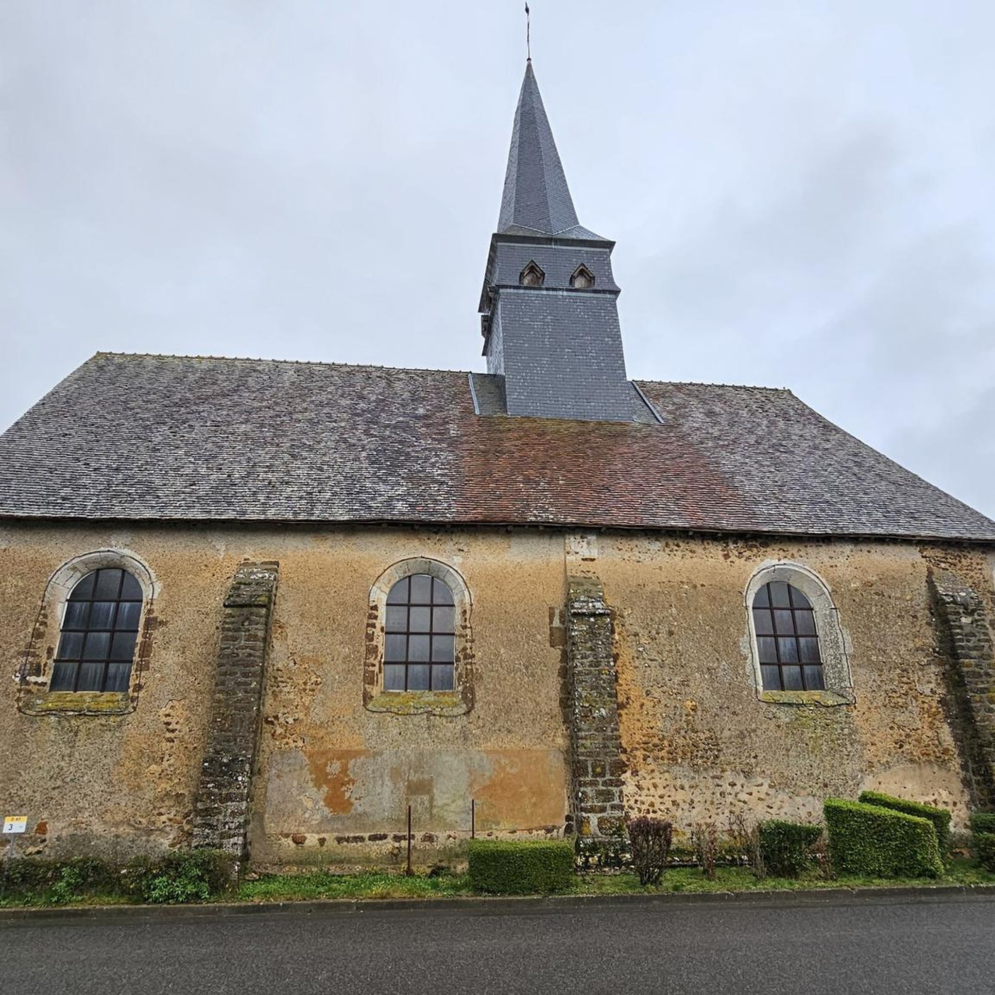
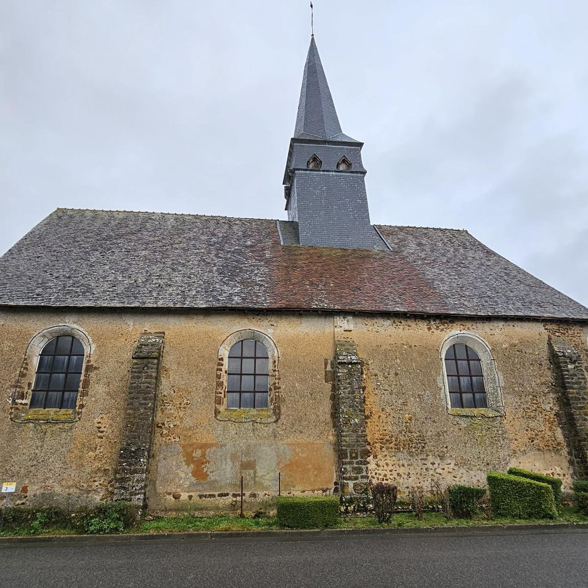
While riding, you might encounter historical religious buildings. Notable attractions in the wider area include the Notre-Dame Church of Chapelle-Guillaume, Saint Anne Church, and the Saint-Jean-Baptiste Church of Courtalain.
How long do the mountain bike trails in Le Poislay typically take to complete?
The mountain bike trails in Le Poislay vary in length and duration. The shortest easy route, Taillefer Waterway – Restaurant loop from Arville, takes about 1 hour 35 minutes. Longer moderate routes, like the Taillefer Waterway loop from Saint-Agil, can take around 4 hours 12 minutes.
What do other mountain bikers say about the trails in Le Poislay?
The mountain bike trails in Le Poislay are highly rated by the komoot community, with an average score of 5.0 stars. Users appreciate the varied terrain and scenic views offered by routes like the Tour de Mondoubleau loop from Saint-Agil.
Are there any trails that follow waterways in Le Poislay?
Yes, several routes in Le Poislay feature waterways. The Taillefer Waterway loop from Saint-Agil is a prime example, leading through rural landscapes and directly along the Taillefer Waterway.
What is the longest mountain bike trail available in Le Poislay?
The longest mountain bike trail is the Taillefer Waterway loop from Saint-Agil, which spans 35.9 miles (57.8 km) and offers a moderate challenge through the region's rural landscapes.
Most popular attractions around Le Poislay

Get inspired with the komoot mobile app


Explore more
Browse the best MTB trails in other regions.
