The best gravel rides around La Flamengrie
4.7
(4)
27
riders
6
rides
Gravel bike trails La Flamengrie are situated in a region characterized by rolling terrain and extensive forested areas, offering diverse landscapes for cycling. The area's average elevation is around 193 meters, with variations that create engaging rides. La Flamengrie is part of the Thiérache region, known for its bocage landscape of woodlands and pastures. This varied topography includes both paved and unpaved segments, providing a mix of challenges for gravel cyclists.
Best gravel bike trails around La Flamengrie
- The most…
Last updated: May 23, 2026
4.0
(1)
5
riders
75.2km
04:44
700m
700m
Hard gravel ride. Very good fitness required. Mostly paved surfaces. Suitable for all skill levels.
7
riders
98.7km
06:05
840m
840m
Hard gravel ride. Very good fitness required. Mostly paved surfaces. Suitable for all skill levels.

Sign up for free
5.0
(1)
5
riders
31.6km
01:35
130m
130m
Easy gravel ride. Great for any fitness level. Mostly paved surfaces. Suitable for all skill levels.
5.0
(2)
4
riders
42.9km
02:26
330m
330m
Moderate gravel ride. Good fitness required. Mostly paved surfaces. Suitable for all skill levels.
2
riders
52.6km
02:53
330m
330m
Moderate gravel ride. Good fitness required. Mostly paved surfaces. Suitable for all skill levels.
Our route recommendations are based on thousands of hikes, rides, and runs completed by other people on komoot.
Start today with a free account
Your next adventure awaits.
Login or Signup

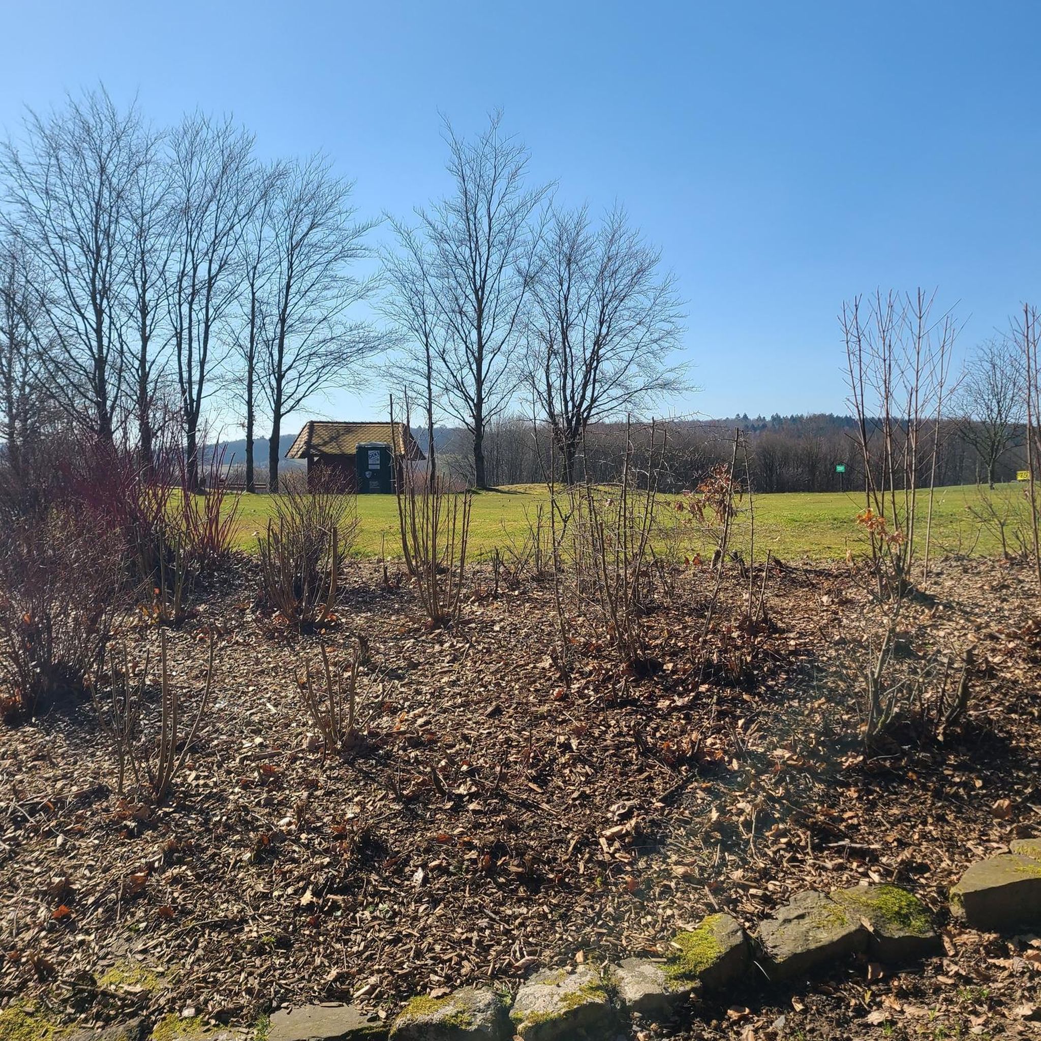
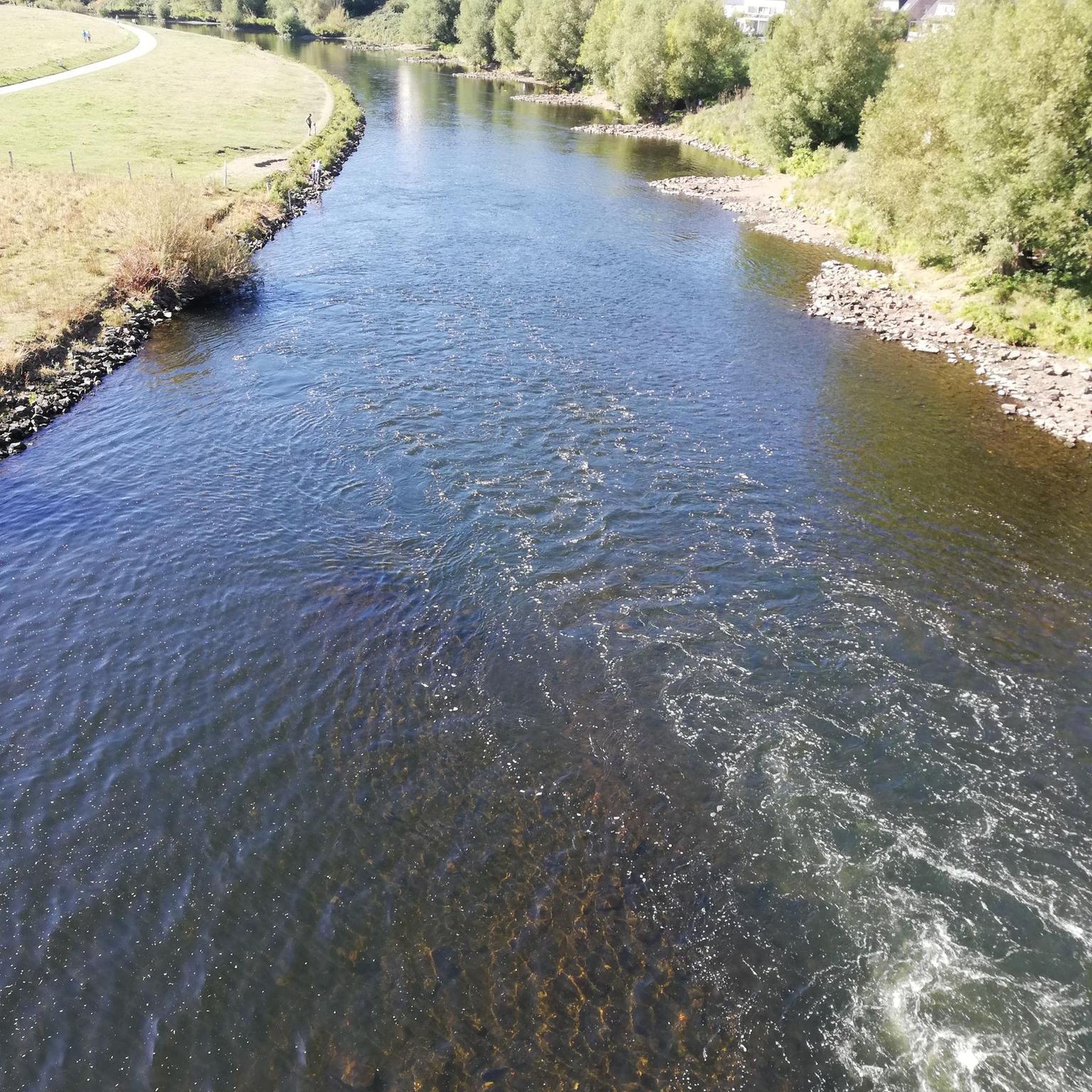

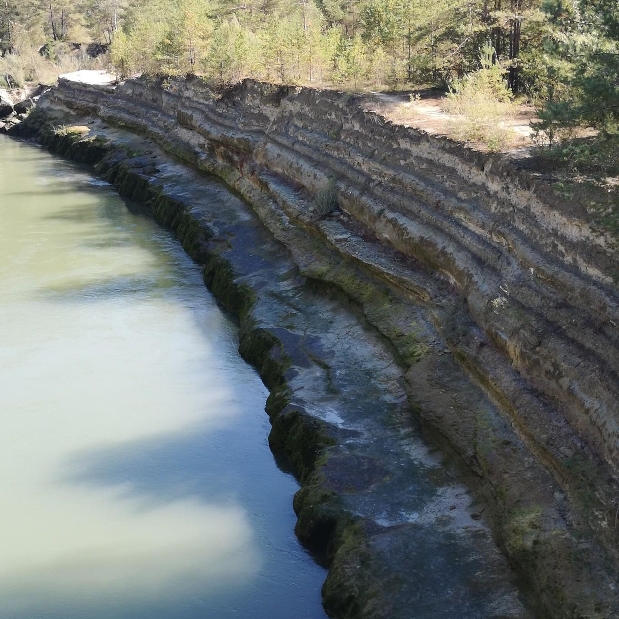
Tips from the Community

At the height of Neuve-Maison, in the direction of Guise
0
0


A short tour in the Avesnes countryside offering beautiful views of Solre-le-Château and its leaning bell tower. Route mainly on asphalt paths with however a grassy path over 600m. Possibility of walking from Lez-Fontaine to the hamlet of l'Epine via the greenway. Ideal departure: the square of Solre-le-Château where parking is easy and where it is possible to eat or refuel.
0
0

Just took a photo from the outside. Nice to look at.
3
0
Very beautiful landscape and very nice asphalted railway line cycle path EV3. It's a shame that it isn't extended a little further.
3
0
Very nice asphalted railway line cycle path EV3. Small bridge, does the fountain work?
2
0
Very nice asphalted railway line cycle path EV3.
3
1
Very nice asphalted railway line cycle path EV3. Often nice views.
2
0
Frequently Asked Questions
How many gravel bike trails are available around La Flamengrie?
There are 5 gravel bike trails around La Flamengrie, offering a variety of experiences for different skill levels. These include 3 moderate and 2 difficult routes.
What kind of terrain can I expect on gravel bike trails in La Flamengrie?
The region around La Flamengrie is characterized by rolling terrain and extensive forested areas, particularly within the Thiérache region. You'll encounter a mix of quiet country roads, white forest or farm tracks, and smooth rolling trails. Some routes incorporate 'old bitumen' sections and forest paths, providing a diverse and engaging ride.
Are there any beginner-friendly gravel bike trails in La Flamengrie?
While there are no routes specifically classified as 'easy' in the guide, several moderate routes offer a good starting point. For example, the Ohis Railway Viaduct – Locomobile Salmson No. 3003 loop from Étréaupont is a moderate 31.7 km trail with less elevation gain, making it suitable for those looking for a less strenuous ride.
What are some challenging gravel routes for experienced riders?
Experienced riders looking for a challenge can explore routes with significant elevation gain. The Château de Trélon – Hirson loop from Anor is a difficult 63.3 km trail with over 570 meters of ascent, providing a demanding ride through varied landscapes.
Are there any long-distance gravel biking routes near La Flamengrie?
Yes, for those seeking longer rides, the Axe Vert de la Thiérache – Liessies Picnic Area loop from Rond-Point de Guise is a substantial 121.0 km route. This difficult trail takes approximately 8 hours 20 minutes to complete and features significant elevation gain.
Can I find circular gravel bike routes in the area?
All the gravel bike routes listed in this guide are circular loops, allowing you to start and end at the same point. An example is the Locomobile Salmson No. 3003 – Ohis Railway Viaduct loop from Clairfontaine, a 41.8 km moderate trail.
What natural features or landmarks can I see while gravel biking around La Flamengrie?
The region offers several points of interest. You might encounter the historic Fortified Church of Saint-Martin of Wimy or the impressive Ohis Railway Viaduct. The area is also known for its extensive forests, such as the Forest of Mormal, and the characteristic bocage landscape of the Thiérache region.
Is La Flamengrie suitable for family-friendly gravel biking?
The varied terrain around La Flamengrie includes both paved and unpaved segments. While some routes are challenging, the presence of quiet country roads and less strenuous sections within the Thiérache region can be suitable for families with some cycling experience. Always check the route difficulty and elevation profile before heading out.
Are dogs allowed on the gravel bike trails in La Flamengrie?
Generally, dogs are welcome on public paths and trails in the La Flamengrie region, especially in forested and rural areas, provided they are kept under control. It's always advisable to check local regulations or specific trail signage for any restrictions, particularly in nature reserves.
What do other gravel bikers enjoy the most about gravel biking in La Flamengrie?
The gravel biking routes around La Flamengrie are highly rated by the komoot community, with an average score of 4.0 stars. Riders often praise the diverse landscapes, which combine rolling hills, dense woodlands, and the unique bocage scenery of the Thiérache region, offering a varied and engaging experience.
What is the best time of year for gravel biking in La Flamengrie?
The region is enjoyable for gravel biking during most of the year. Spring and autumn offer pleasant temperatures and beautiful scenery. Summer can be warm but is ideal for longer days, while winter conditions might include muddy or icy sections, especially on unpaved forest paths, so be prepared for varied conditions.
Are there any specific greenways or dedicated cycling paths that can be incorporated into gravel rides?
Yes, the region includes sections of the Voie Verte de l'Avesnois, an asphalted railway line that offers smooth transitions and scenic views. While primarily a cycling path, it can be integrated into longer gravel-friendly routes, providing a mix of surfaces.
Most popular routes around La Flamengrie
Most popular attractions around La Flamengrie

Get inspired with the komoot mobile app


Explore more
Browse the best Gravel rides in other regions.
