The best gravel rides around Mont de Cordon
4.7
(16)
71
riders
6
rides
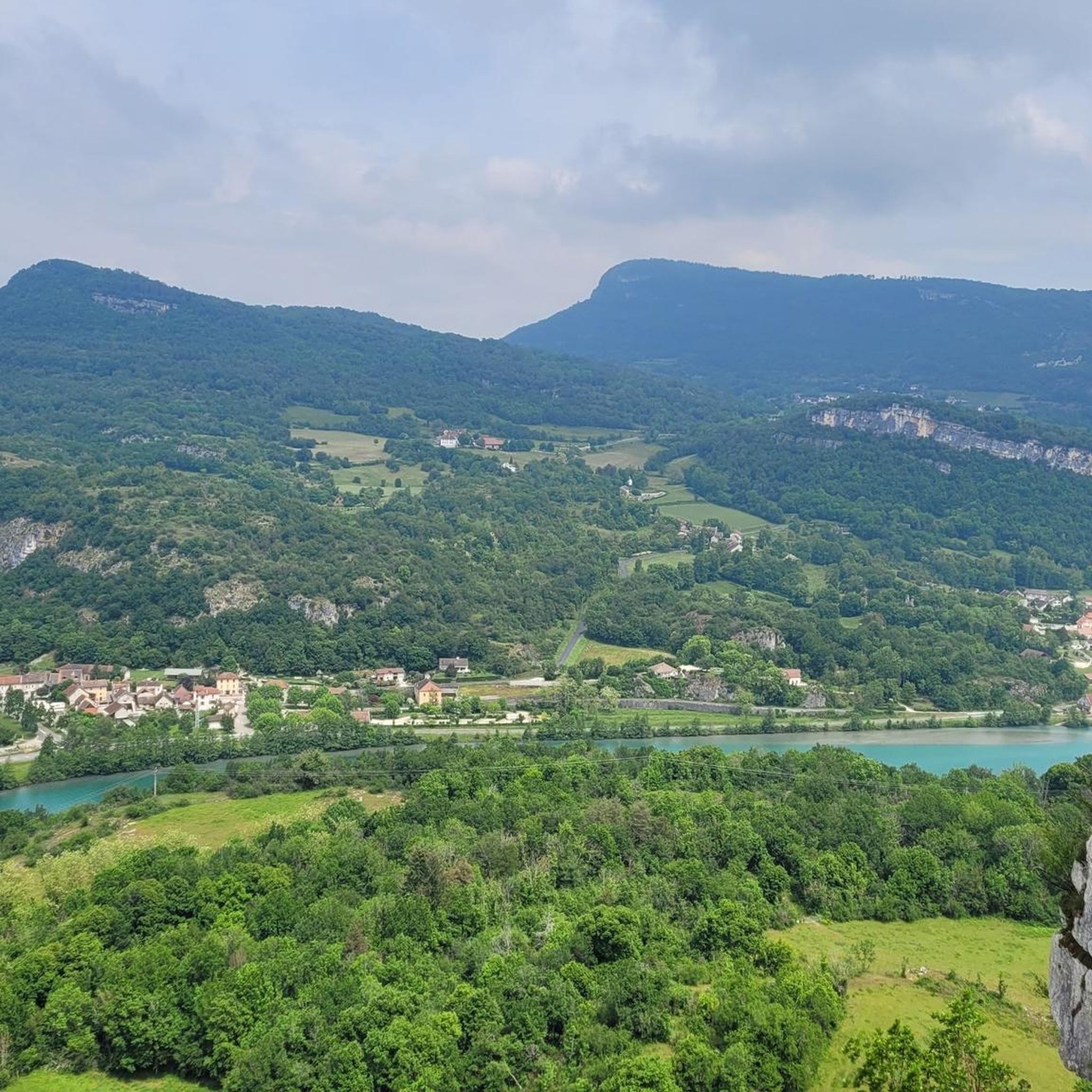
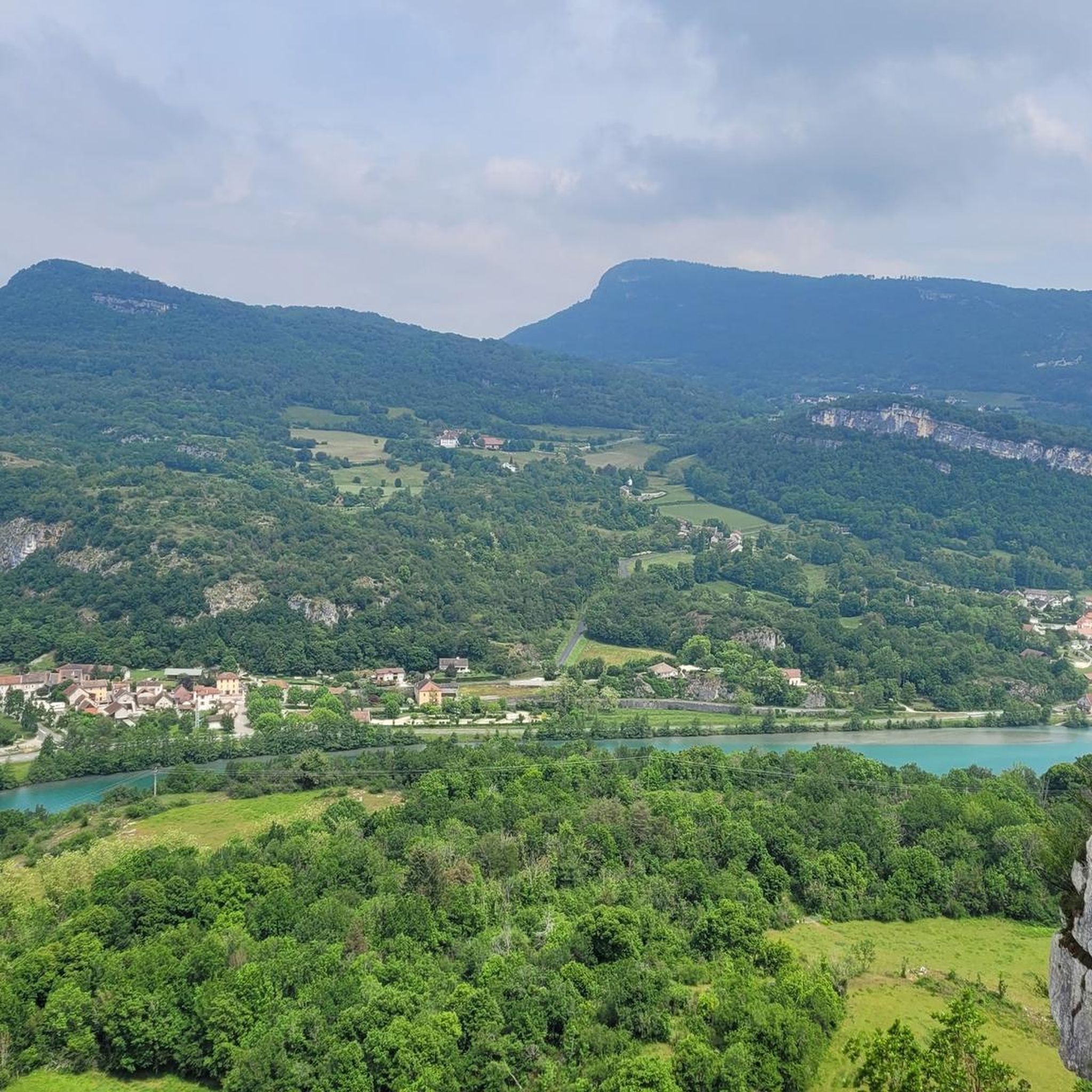
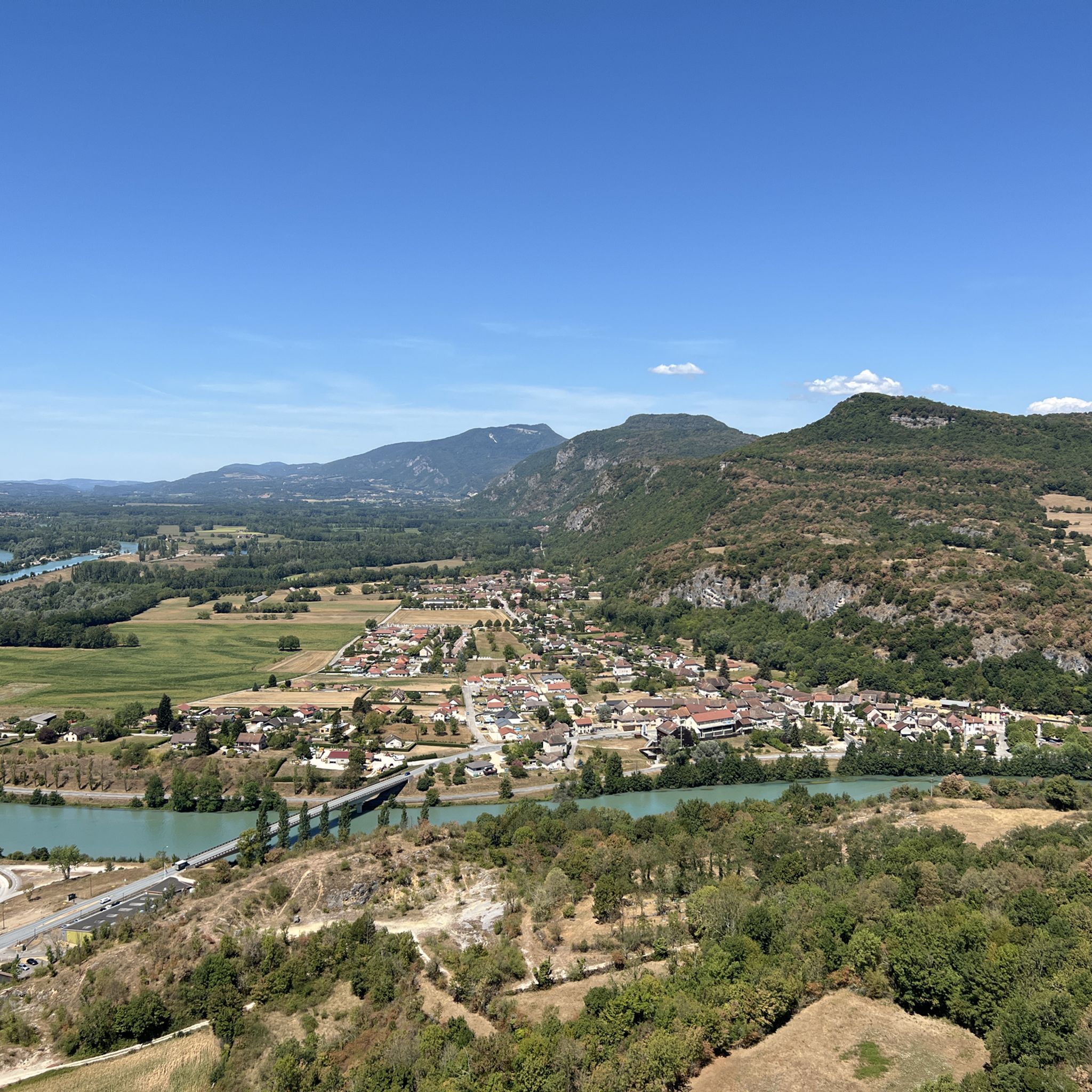
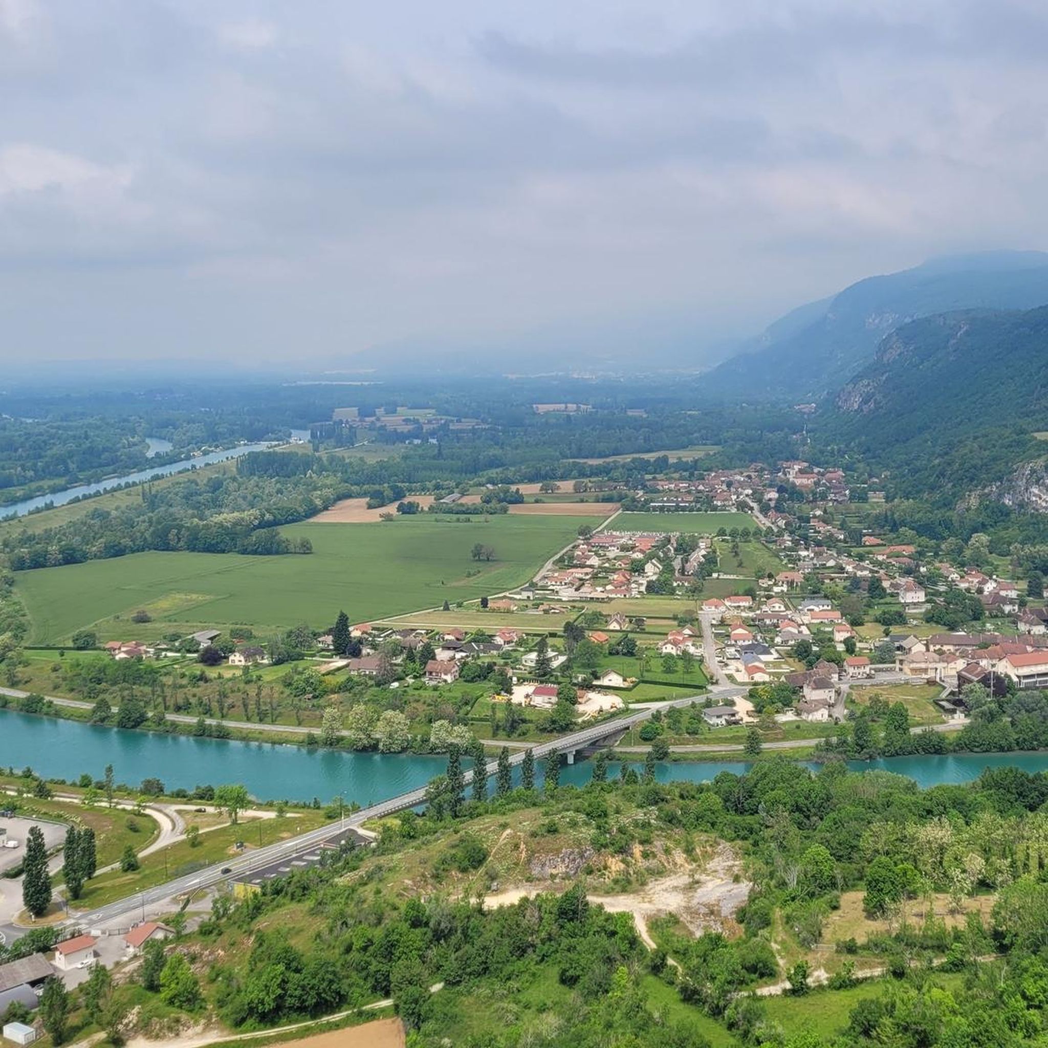
Gravel biking around Mont de Cordon offers varied terrain at the confluence of the Ain and Isère departments, within the Jura massif. The region features the winding Rhône River, its alluvial plains, and forested areas, alongside ascents into the Bugey mountains. Routes combine unpaved tracks with some paved sections, providing conditions suitable for gravel bikes. Mont de Cordon itself reaches an altitude of 401 meters, offering panoramic views of the Rhône and surrounding massifs.
Best gravel bike trails around Mont…
Last updated: October 30, 2026
5.0
(7)
39
riders
Moderate gravel ride. Good fitness required. Mostly paved surfaces.
5.0
(1)
6
riders
Easy gravel ride. Mostly paved surfaces.

4.3
(6)
16
riders
44.3km
02:33
150m
150m
Moderate gravel ride. Good fitness required. Mostly paved surfaces.
5.0
(1)
5
riders
17.7km
01:08
70m
70m
Easy gravel ride. Mostly paved surfaces.
4.0
(1)
5
riders
23.1km
01:15
50m
50m
Easy gravel ride. Mostly paved surfaces.
Our route recommendations are based on thousands of hikes, rides, and runs completed by other people on komoot.
Start today with a free account
Your next adventure awaits.
Tips from the Community

The trail runs along the Guiers river to its confluence with the Rhône, on the edge of Savoie.
0
0
The trail runs along the Guiers river to its confluence with the Rhône, on the edge of Savoie.
0
0
For a long time, this bridge marked the political border between the Kingdom of France (Dauphiné side) and the States of Savoy. In 1822, a border stone (stone no. 5) had been set in its center to demarcate the two territories. This historic stone has since been moved to the Place des Tilleuls in the village, where it serves as a fountain.
0
0
The site is freely accessible on foot and offers four major marked routes to gently explore its riches.
0
0
The area is located on the border between the departments of Isère and Ain, right next to the Pont d’Évieu. A specific ViaRhôna link allows you to reach the center of the commune of Les Avenières directly from this point via small country roads.
0
0

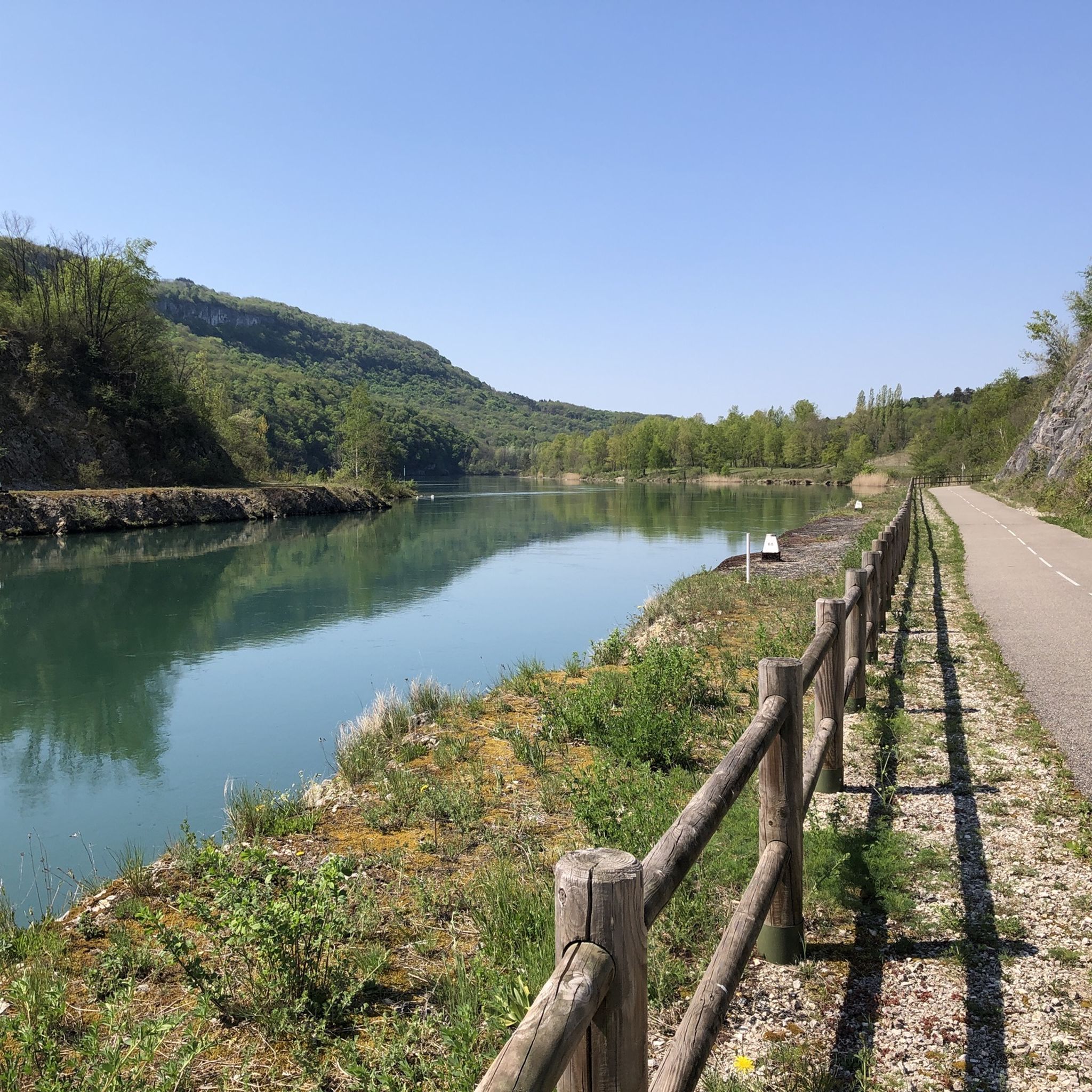
The Via Rhona in the direction of Belley. Magnificent cycle path
1
0

a very nice section for us cyclists
0
0
The Chemin de fer de l'Est de Lyon (CFEL) is an old French standard-gauge secondary railway network, partly located in the Rhône department and partly in the Isère department, which connected the Gare de Lyon-Est to Aoste-Saint-Genix.
0
0
Frequently Asked Questions
How many gravel bike trails are available around Mont de Cordon?
There are over 10 gravel bike trails available around Mont de Cordon, offering a variety of experiences for different skill levels. These routes are highly rated by the komoot community.
What kind of terrain can I expect on gravel bike trails in Mont de Cordon?
The terrain around Mont de Cordon is diverse, perfect for gravel biking. You'll find a mix of unpaved tracks, forest paths, and some paved sections. Routes often follow the winding Rhône River and its alluvial plains, with ascents into the Bugey mountains, providing varied surfaces and elevations.
What do other gravel bikers enjoy most about the trails in Mont de Cordon?
The komoot community rates the gravel trails in Mont de Cordon highly, with an average score of 4.9 stars from over 17 reviews. Riders particularly appreciate the panoramic views of the Rhône River, the varied terrain, and the blend of natural beauty with historical sites.
Are there gravel routes suitable for beginners in Mont de Cordon?
Yes, Mont de Cordon offers several easy gravel bike routes. For example, the Cordon Bridge – Lac de Barterand loop from Saint-Genix-Sur-Guiers is an easy 17.8 km trail with minimal elevation gain, ideal for those new to gravel biking.
Are there more challenging gravel bike routes for experienced riders?
Absolutely. While many routes offer gentle riverside paths, there are also more challenging ascents into the hills. For a moderate challenge, consider the Virignin la Balme footbridge – Virignin footbridge loop from Église Saint-Didier, which covers 56.6 km and includes significant elevation gain.
What kind of views can I expect on the gravel bike trails around Mont de Cordon?
Mont de Cordon is renowned for its magnificent panoramic views. From various viewpoints, you can see the winding Rhône River, the surrounding Bugey mountains, the Chartreuse massif, and picturesque villages like Brégnier-Cordon and Izieu, as well as the 15th-century Château de la Barre.
Are there any historical or cultural points of interest along the routes?
Yes, beyond natural beauty, you can encounter historical landmarks. The area features prehistoric caves, including the Bonne Femme cave. Cyclists can also pass by sites like the Château de la Barre and the Maison d'Izieu, a memorial to Jewish children during WWII, adding a cultural dimension to your ride.
Are there any circular gravel bike routes in Mont de Cordon?
Many of the gravel routes in Mont de Cordon are designed as loops, allowing you to start and end at the same point. An example is the Groslée Bridge – Lac de Barterand loop from Murs-et-Gélignieux, a 48.9 km trail that explores riverside areas and varied terrain.
Is Mont de Cordon suitable for family-friendly gravel biking?
Yes, the region offers routes suitable for families, particularly those along the Rhône River and its alluvial plains. These paths tend to be flatter and less technically demanding. Always check the specific route details for distance and elevation to ensure it matches your family's ability.
What is the best time of year for gravel biking in Mont de Cordon?
The diverse landscapes of Mont de Cordon make it enjoyable for gravel biking across multiple seasons. Spring and autumn generally offer pleasant temperatures and beautiful scenery. Summer can be great, especially along shaded forest paths and riverside routes. Winter conditions might require checking local weather and trail reports for snow or ice, particularly on higher elevations.
Where can I find parking for gravel biking in Mont de Cordon?
Parking is generally available in and around the villages that serve as starting points for many routes, such as Brégnier-Cordon and Murs-et-Gélignieux. Specific parking information can often be found on individual route descriptions or local tourism websites.
Are there cafes or places to eat near the gravel bike trails?
Yes, the villages surrounding Mont de Cordon, such as Brégnier-Cordon and Saint-Genix-sur-Guiers, offer amenities including cafes and restaurants where you can refuel before or after your ride. It's always a good idea to check opening hours, especially outside peak season.
Can I reach Mont de Cordon by public transport for gravel biking?
While public transport options might be limited directly to trailheads, you can often reach larger towns in the vicinity, such as Brégnier-Cordon, by regional bus services. From there, you might need to cycle a short distance to access the trails. It's advisable to check local transport schedules in advance.
Most popular routes around Mont de Cordon

Get inspired with the komoot mobile app


Explore more
Browse the best Gravel rides in other regions.
