The best gravel rides around Grimaucourt-En-Woëvre
33
riders
5
rides
Gravel biking around Grimaucourt-En-Woëvre, located in the Meuse department of France, offers routes through varied countryside, forests, and historical landscapes. The region is characterized by green terrain, including significant wooded areas like Tilly Woods, and numerous watercourses. Gravel bike trails in Grimaucourt-En-Woëvre often traverse a mix of unpaved roads, forest paths, and rural tracks, providing diverse riding surfaces. The area's historical significance, particularly related to World War I, adds a unique dimension to many routes.
Best gravel bike trails around…
Last updated: May 15, 2026
13
riders
101km
07:41
1,420m
1,420m
Hard gravel ride. Very good fitness required. Mostly paved surfaces. Suitable for all skill levels.
9
riders
52.7km
04:49
1,080m
1,080m
Hard gravel ride. Very good fitness required. Mostly paved surfaces. Suitable for all skill levels.

Sign up for free
8
riders
65.3km
04:39
990m
990m
Hard gravel ride. Very good fitness required. Mostly paved surfaces. Suitable for all skill levels.
1
riders
56.3km
04:09
830m
830m
Hard gravel ride. Very good fitness required. Mostly paved surfaces. Suitable for all skill levels.
2
riders
31.8km
01:58
340m
340m
Moderate gravel ride. Good fitness required. Mostly paved surfaces. Suitable for all skill levels.
Our route recommendations are based on thousands of hikes, rides, and runs completed by other people on komoot.
Start today with a free account
Your next adventure awaits.
Login or Signup
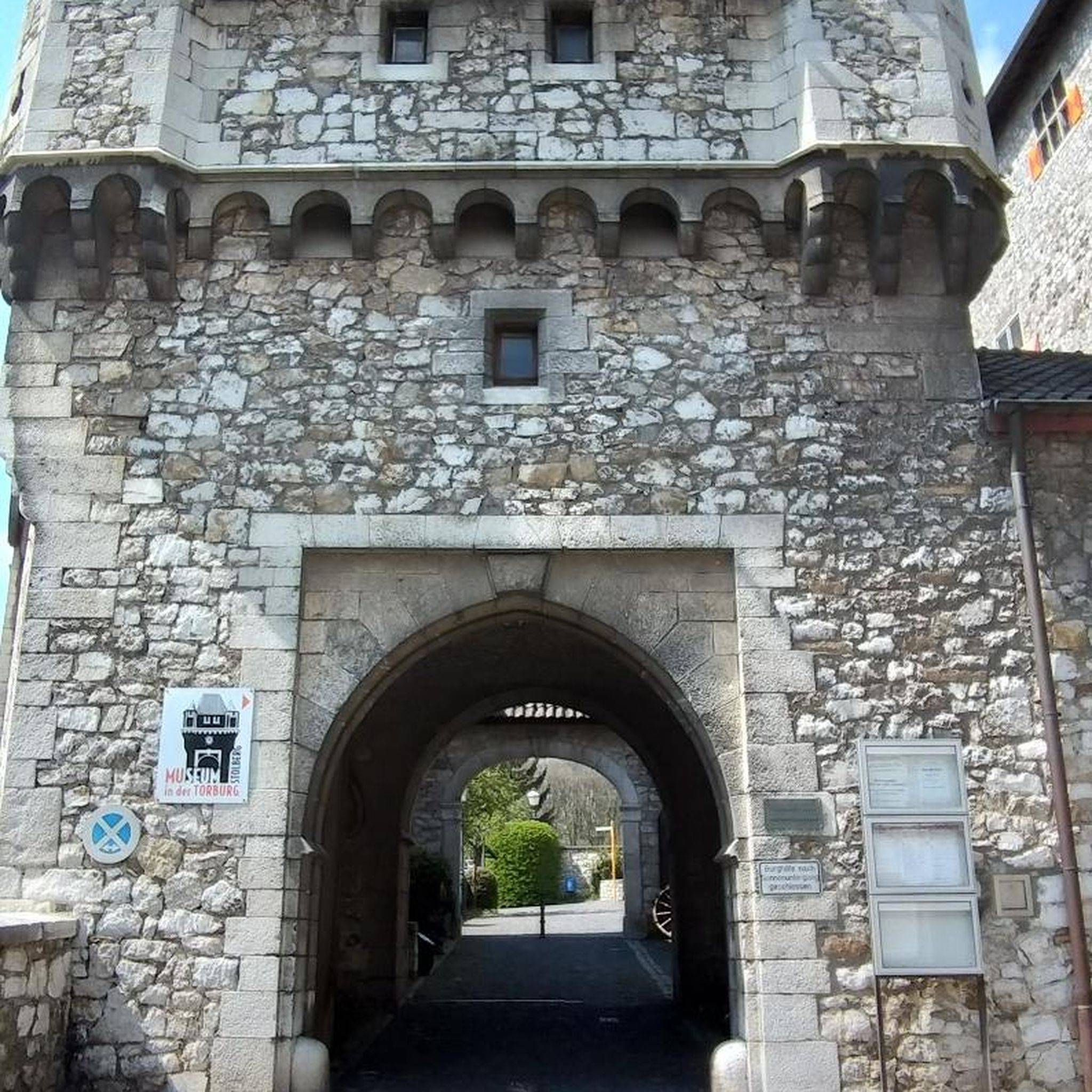
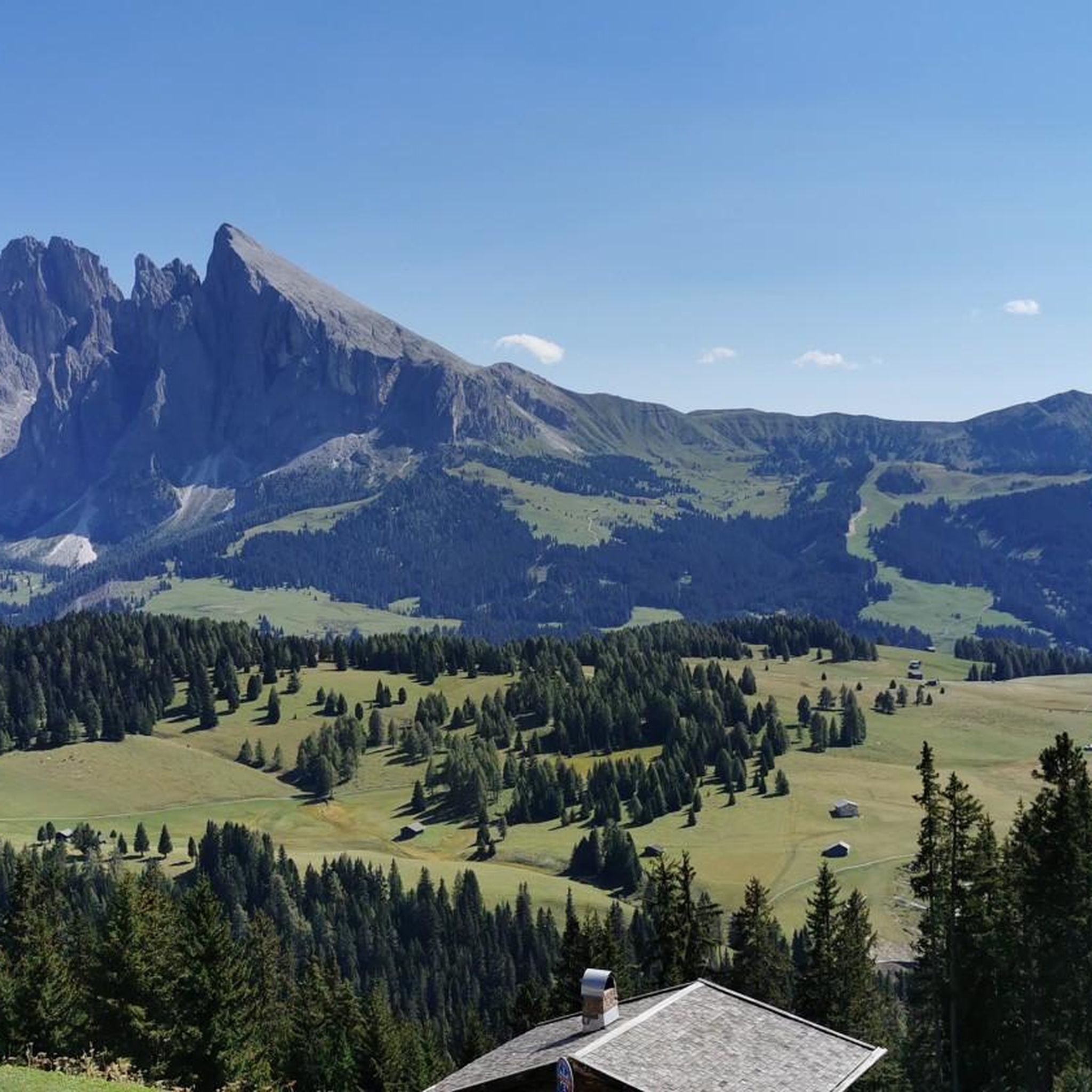
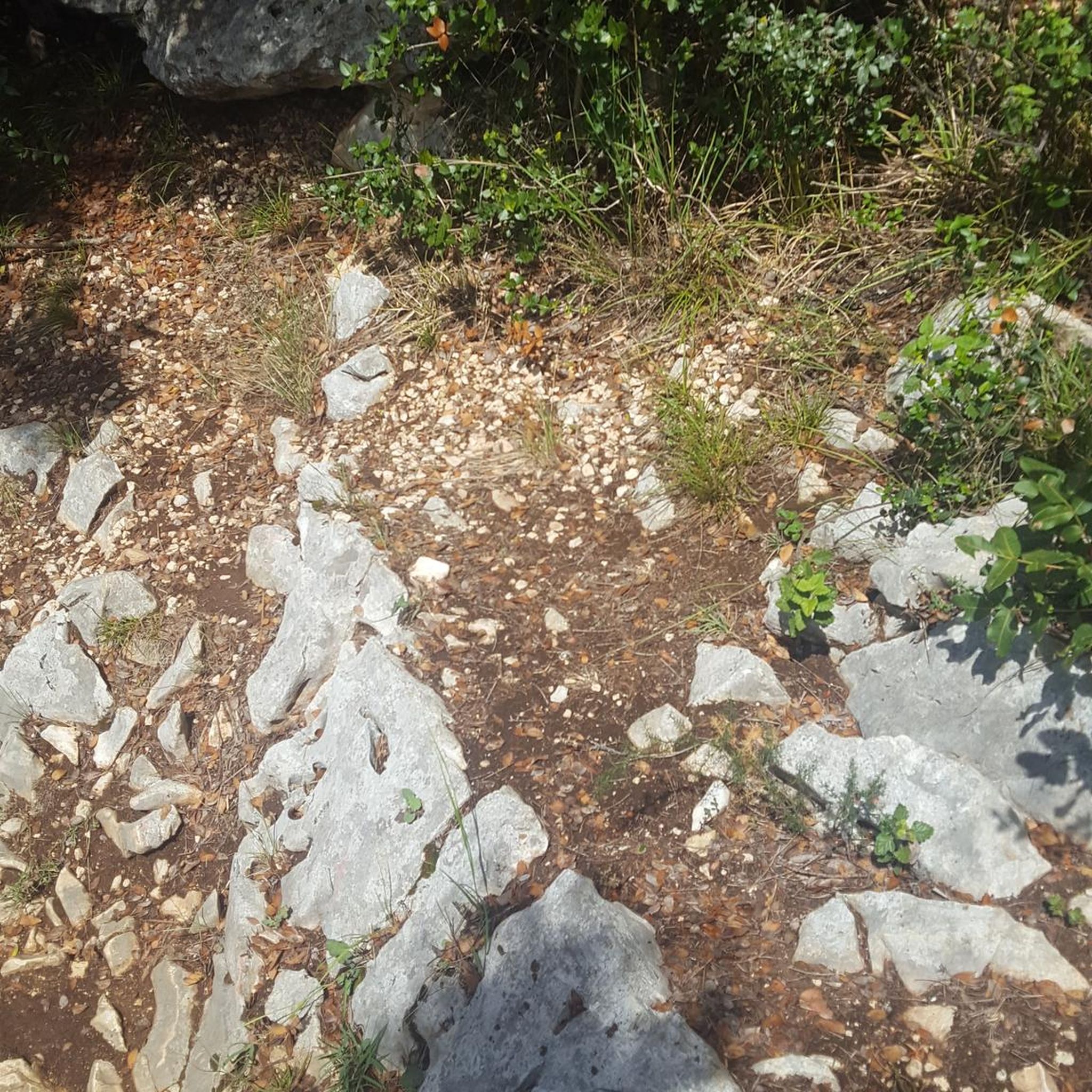

Tips from the Community

The route along the Meuse is beautiful and peaceful to drive and offers one or two highlights.
1
1
A very beautiful and interesting monument.
2
0
Fort Duomont is an interesting historical site. Here you can practically feel the claustrophobia the soldiers must have experienced while fighting here. It's also impressive to think how many died trying to capture this hill.
1
0

Caution, there's a tree across the path. It's possible to bypass it.
0
0


The weight of history and sacrifice. Not to be missed.
1
0
This monument, erected in 1924, is the oldest on the Crête des Éparges. Dedicated to the 12th French Infantry Division, it is topped with a stone cockerel – the symbol of France. It marks a site of fierce fighting in 1915, where thousands of soldiers lost their lives in the muddy trenches. A powerful symbol of national pride and remembrance.
6
0
These impressive craters are silent witnesses to the fierce mine warfare that raged here between 1915 and 1918. French and German troops dug tunnels under each other's positions and detonated enormous charges of explosives. The craters, from point C to point X, are still visible in the landscape and are a reminder of the devastating power of this underground battle.
6
0
Frequently Asked Questions
What kind of terrain can I expect on gravel bike trails around Grimaucourt-En-Woëvre?
The region offers a diverse landscape for gravel biking, characterized by green countryside, extensive forests like Tilly Woods, and numerous waterways. You'll encounter a mix of unpaved roads, forest paths, and rural tracks, providing varied riding surfaces suitable for gravel bikes.
Are there gravel routes suitable for beginners or those looking for a moderate ride?
Yes, while many routes are challenging, there are options for moderate skill levels. For example, the Verdun Memorial – Douaumont Ossuary loop from Châtillon-sous-les-Côtes is a moderate 31.6 km (19.6 miles) path, offering a shorter journey through historical landscapes and countryside.
What historical sites can I visit while gravel biking in the area?
The region is rich in World War I history. Many routes incorporate significant historical sites. You can explore the Verdun Memorial and the Fort de Vaux. Routes like the Verdun Memorial – Douaumont Ossuary loop from Aérodrome Le Rozelier or the Tunnel Battery – Monument to André Maginot loop from Aérodrome Le Rozelier are excellent for combining cycling with historical exploration.
Are there any circular gravel bike routes available?
Yes, many of the gravel bike routes in the Grimaucourt-En-Woëvre area are designed as loops. Examples include the Verdun Memorial – Douaumont Ossuary loop from Aérodrome Le Rozelier, the Tunnel Battery – Monument to André Maginot loop from Aérodrome Le Rozelier, and the Verdun Memorial – Douaumont Ossuary loop from Châtillon-sous-les-Côtes, allowing you to start and finish at the same point.
What is the best time of year to go gravel biking around Grimaucourt-En-Woëvre?
The green and varied countryside of the Meuse department is generally pleasant for cycling from spring through autumn. Spring offers fresh greenery, while autumn provides beautiful foliage. Summers are also suitable, but it's always wise to check local weather conditions before heading out.
What do other gravel bikers enjoy most about the routes in this region?
Gravel bikers appreciate the varied terrain, which includes a mix of unpaved roads, forest paths, and rural tracks. The combination of natural beauty, such as the extensive forested areas and waterways, with the unique historical significance of the World War I sites, provides a compelling and immersive riding experience.
Are there any long-distance gravel routes for experienced riders?
For experienced riders seeking a longer challenge, the Verdun Memorial – Douaumont Ossuary loop from Aérodrome Le Rozelier is a difficult route spanning 101.6 km (63.1 miles) with significant elevation gain, typically taking over 9 hours to complete. This route offers an extensive exploration of the historical sites and varied terrain.
Can I find routes that offer scenic viewpoints or natural monuments?
Yes, the region's varied countryside and forested areas naturally offer scenic sections. While specific viewpoints are not always marked, routes often traverse areas with natural beauty. The Point X (La Crête des Éparges) – View of Thillot loop from Palcroix, for instance, suggests a route designed to showcase views.
Are there any family-friendly gravel biking options in the Meuse department?
While specific 'family-friendly' gravel routes are not explicitly highlighted in the data, the presence of varied terrain and different difficulty levels suggests that some shorter, less challenging paths could be suitable for families. Look for routes described as 'moderate' or those with less elevation gain for a more relaxed experience.
What are the typical elevations encountered on gravel bike trails near Grimaucourt-En-Woëvre?
The elevation profiles vary significantly depending on the route. For example, a difficult route like the Verdun Memorial – Douaumont Ossuary loop from Aérodrome Le Rozelier involves over 1400 meters (4600 feet) of ascent. Moderate routes, such as the Verdun Memorial – Douaumont Ossuary loop from Châtillon-sous-les-Côtes, have more manageable climbs, around 330 meters (1080 feet).
Is it possible to access gravel bike trails using public transport?
While the region is rural, public transport options in the Meuse department might connect to larger towns near Grimaucourt-En-Woëvre. However, direct access to specific trailheads via public transport can be limited. Planning your route with a starting point accessible by car, or checking local bus schedules for connections to villages near trail starts, is recommended.
Are there any amenities like cafes or accommodation along the gravel routes?
The routes often pass through or near small villages and historical sites where you might find local cafes or guesthouses. However, given the rural nature of the area, it's advisable to carry sufficient water and snacks, especially on longer rides, as amenities might not be consistently available directly on the trails.
Most popular routes around Grimaucourt-En-Woëvre
Most popular attractions around Grimaucourt-En-Woëvre

Get inspired with the komoot mobile app


Explore more
Browse the best Gravel rides in other regions.
