The best walks and hikes around Labruyère
3.3
(26)
140
hikers
15
hikes
Hiking around Labruyère offers routes primarily characterized by flat terrain and proximity to waterways, including canals and the Saône river. The region features minimal elevation changes, making it suitable for easy hikes Labruyère. Many paths are circular hikes Labruyère, providing accessible options for exploring the local environment. The landscape is generally open, with routes often following riverbanks or canal towpaths.
Best hiking trails around Labruyère
- The most popular hiking route is Seurre Lock — Canal Bypass – Canal and Lock…
Last updated: September 28, 2026
3.0
(8)
54
hikers
Easy hike. Great for any fitness level. Easily-accessible paths. Suitable for all skill levels.
2.0
(2)
7
hikers
5.03km
01:17
10m
10m
Easy hike. Great for any fitness level. Easily-accessible paths. Suitable for all skill levels.

4.0
(1)
15
hikers
2.14km
00:33
10m
10m
Easy hike. Great for any fitness level. Easily-accessible paths. Suitable for all skill levels.
3.3
(4)
7
hikers
Easy hike. Great for any fitness level. Easily-accessible paths. Suitable for all skill levels.
7
hikers
3.74km
00:58
20m
20m
Easy hike. Great for any fitness level. Easily-accessible paths. Suitable for all skill levels.
Get access to more routes and recommendations from other explorers.
Already have an account?
Our route recommendations are based on thousands of hikes, rides, and runs completed by other people on komoot.
Start today with a free account
Your next adventure awaits.

Tips from the Community


The Restaurant au Port is located at the old bridgehead. Good French cuisine with additional Vietnamese dishes
2
0

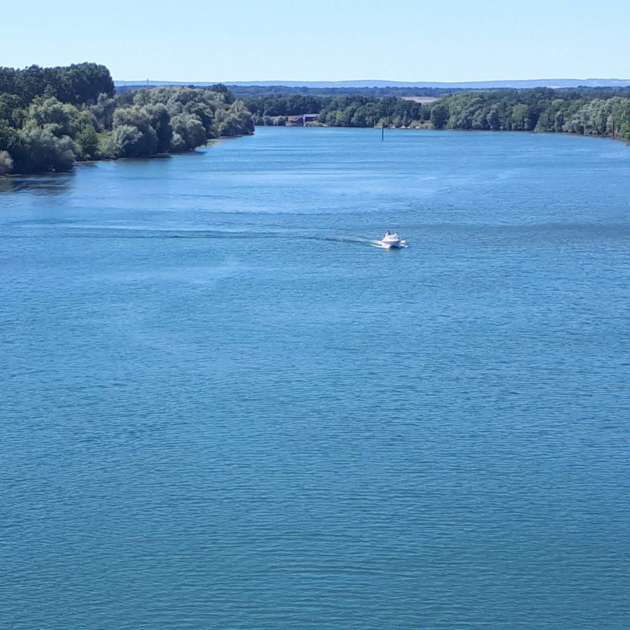
The bleachers are laid out facing the Saône. All you have to do is settle down there to rest for a few moments and enjoy the view of Seurre on the small marina. If you're hot, cool off at the refreshment bar set up on the quays. You can also fill your water bottles at the fountain located just across the road.
3
0
Ideal for sunset in the evening
2
0
If you're lucky (locks aren't locked that often) you can follow the lock process very nicely from the bridge
1
0


Beautiful new waterfront in Seurre on the Saône.
3
0

Beautiful bike paths along the Saone.
3
0
Frequently Asked Questions
How many hiking trails are available around Labruyère?
There are currently over 15 hiking routes recorded around Labruyère on komoot. These trails primarily feature flat terrain and proximity to waterways, offering a variety of options for exploring the local environment.
Are there many easy hiking trails in Labruyère?
Yes, Labruyère is well-suited for easy hikes, with 12 out of 15 routes classified as easy. The region's minimal elevation changes and flat canal paths make it ideal for relaxed walks. An example is the Quick stop in Seurre loop from Seurre, an easy 3.1-mile (5.0 km) path.
Are there any family-friendly hiking options in Labruyère?
Absolutely. The flat terrain and well-maintained paths along the canals and Saône river make many routes around Labruyère very suitable for families. These trails offer accessible options for all ages to enjoy the outdoors.
Can I find circular hiking routes in Labruyère?
Yes, many of the paths around Labruyère are circular hikes, providing convenient options for exploring the area without needing to retrace your steps. The Seurre Lock — Canal Bypass – Canal and Lock by the Saône loop from Seurre is a popular circular route.
What is the typical length of hikes around Labruyère?
Hikes around Labruyère vary in length, with many routes ranging from 3 to 9 miles (5 to 15 km). For instance, the Seurre Lock — Canal Bypass – Quick stop in Seurre loop from Seurre is 4.9 miles (7.9 km) and takes about 2 hours.
Are there any challenging hiking routes in Labruyère?
The Labruyère region is characterized by its flat terrain, with minimal elevation changes. While there are 3 moderate routes, there are no routes classified as difficult. Most trails are designed for easy and relaxed walking, focusing on waterside views and open countryside.
What can I see along the hiking trails around Labruyère?
Many trails follow the Saône river and canals, offering pleasant waterside views. You might encounter local points of interest such as The bleachers along the Saône at Seurre or the historic Abbey of Citeaux, which is a short distance away.
Is Labruyère a good destination for dog-friendly walks?
Given the region's open countryside, flat paths, and proximity to waterways, many trails around Labruyère are suitable for walking with dogs. Always ensure your dog is on a leash where required and respect local regulations.
What do other hikers enjoy most about hiking in Labruyère?
The area is highly rated by the komoot community, with an average score of 3.2 stars from over 20 reviews. Hikers often praise the peaceful waterside paths, the flat and accessible terrain, and the opportunity to enjoy the open countryside.
Are there any cafes or places to stop for refreshments along the routes?
While specific cafes on trails are not listed, routes that start or pass through towns like Seurre would offer opportunities to find cafes and other amenities for refreshments before or after your hike.
What is the best season for hiking in Labruyère?
The best seasons for hiking in Labruyère are typically spring and autumn, when the weather is mild and the natural scenery along the canals and riverbanks is particularly pleasant. Summer can also be enjoyable, but it's advisable to hike in the mornings or late afternoons to avoid the midday heat.
Are there accessible hiking trails for people with limited mobility?
The predominantly flat terrain and well-maintained towpaths along the canals and the Saône river make many of Labruyère's trails quite accessible. These conditions are generally favorable for individuals with limited mobility or those using strollers.
Most popular routes around Labruyère
Most popular attractions around Labruyère

Get inspired with the komoot mobile app


Explore more
Browse the best Hikes in other regions.
