The best gravel rides around Saint-Manvieu-Bocage
4.9
(14)
77
riders
20
rides
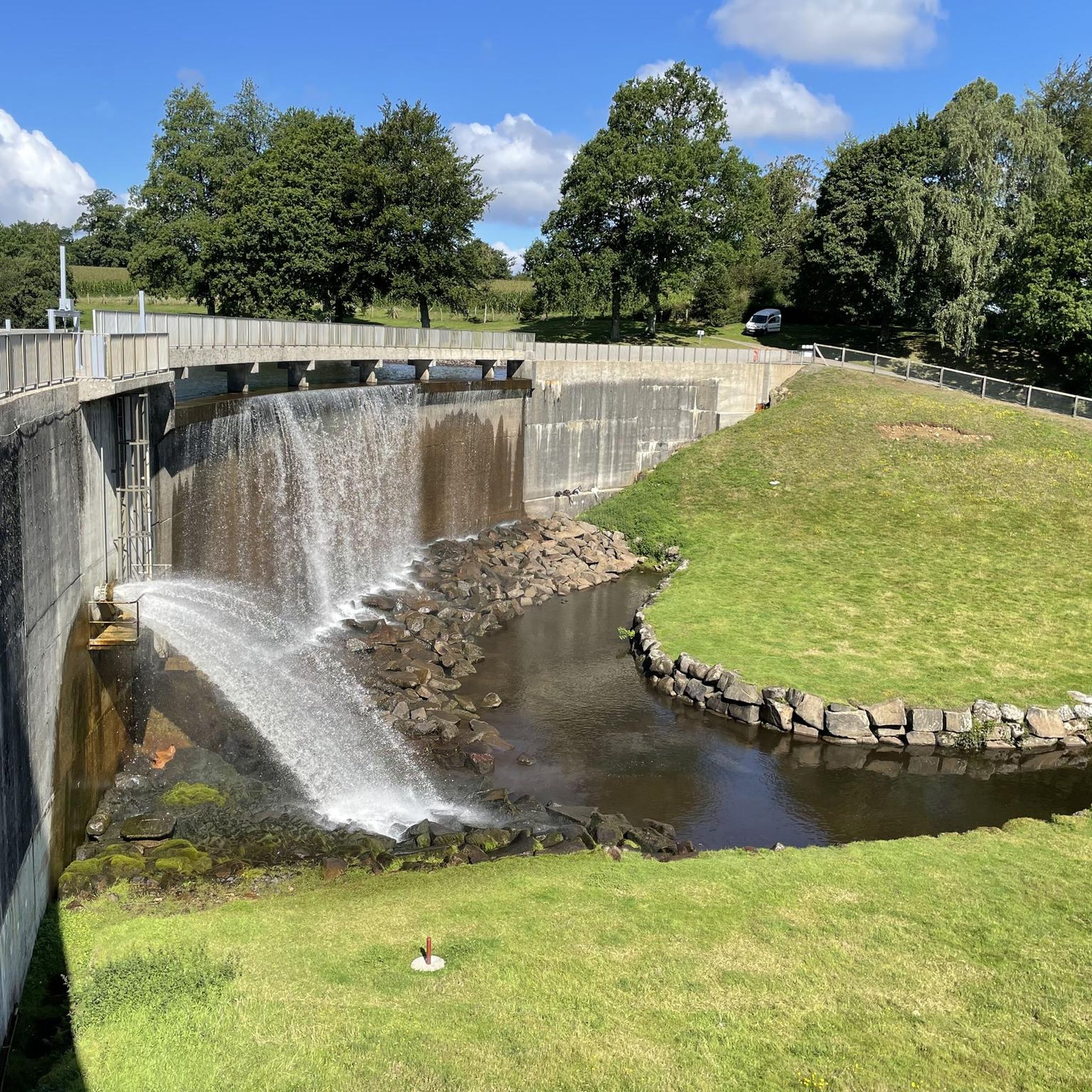
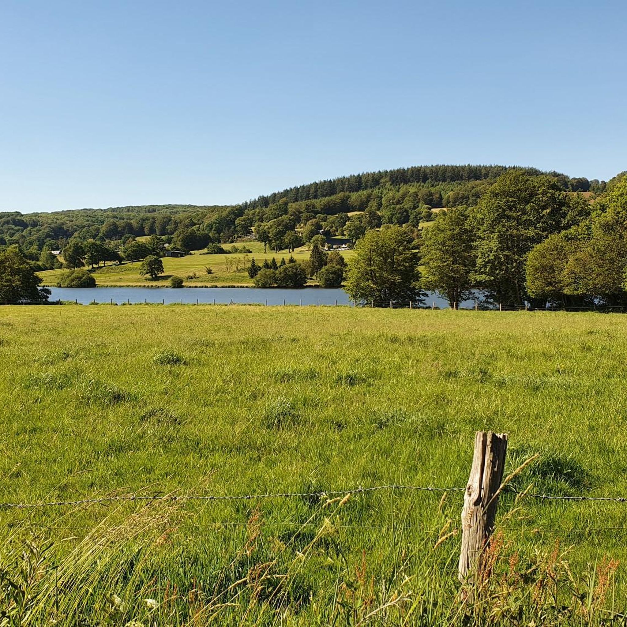
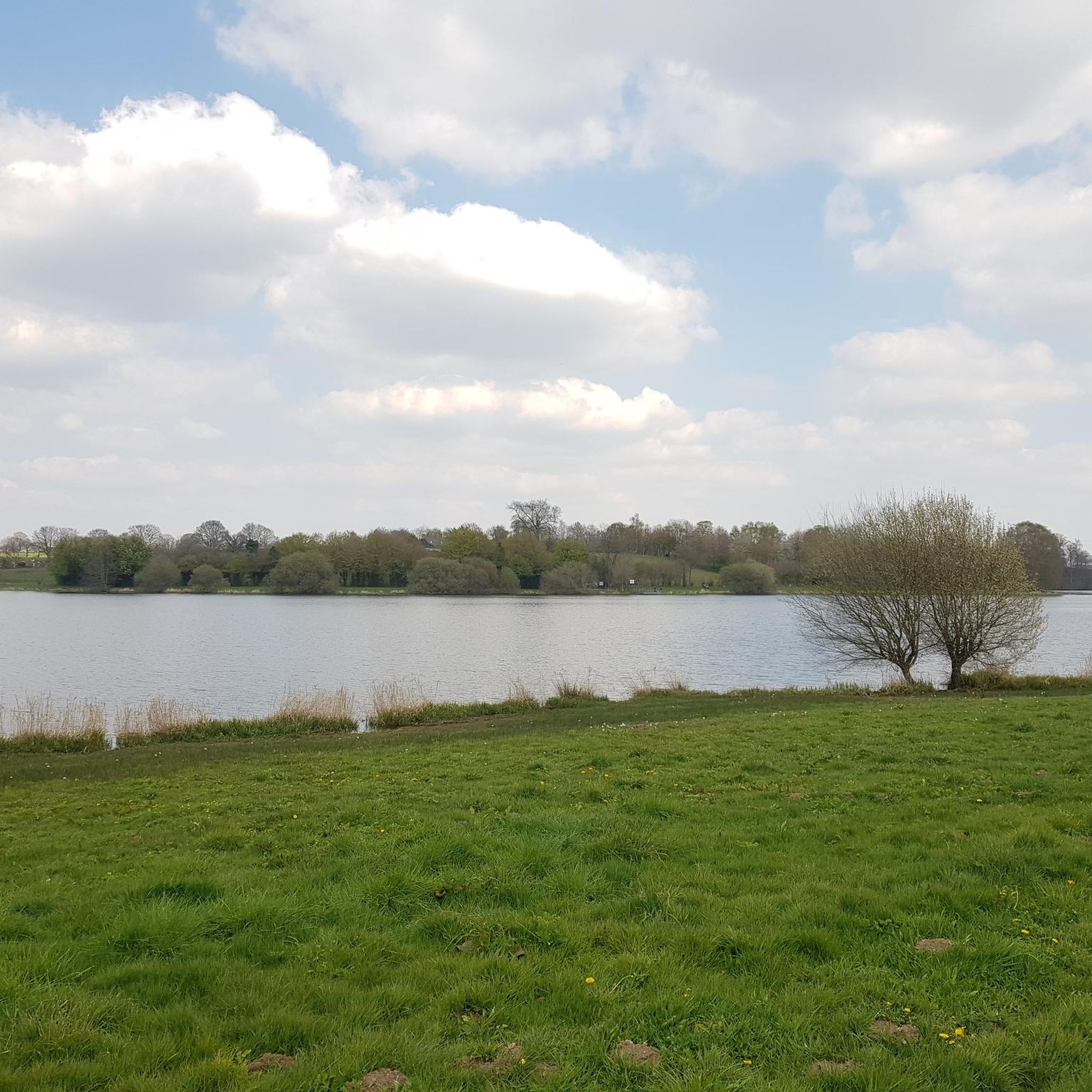
Gravel biking around Saint-Manvieu-Bocage offers exploration through the distinctive bocage landscape of Normandy, characterized by a mosaic of mixed woodland and pasture. This terrain features small, irregular fields enclosed by thick hedgerows and groves of trees, creating winding country lanes ideal for varied gravel surfaces. The region's elevation ranges from 148 to 290 meters, providing diverse gradients across wooded hills and valleys. Natural features like Lac de la Dathée and proximity to the Forêt de Saint-Sever further enhance the outdoor experience.
Best gravel bike trails around Saint-Manvieu-Bocage
- The most popular gravel bike trail is Needle Rock – Former Railway Embankment loop from Saint-Manvieu-Bocage, a 73.5 miles (118.3 km) trail that takes 8 hours 50 minutes to complete. This challenging route navigates the intricate network of rural roads and paths characteristic of the bocage.
- Another top favourite among local gravel bikers is Former Railway Embankment – Along the Vire loop from Saint-Sever, a difficult 86.4 miles (139.1 km) path. This route offers extensive riding through the region's wooded countryside and along the Dathée river.
- Local gravel bikers also love the Needle Rock – The Clock Tower loop from Vire, a 45.2 miles (72.8 km) trail leading through varied terrain, often completed in about 5 hours 27 minutes.
- Gravel biking around Saint-Manvieu-Bocage is defined by its unique bocage landscape, sunken country lanes, and wooded hills. The network offers options for experienced riders seeking challenging distances and elevations.
- The routes in Saint-Manvieu-Bocage are highly rated by the komoot community with an average score of 4.9 stars from over 16 reviews. More than 80 gravel bikers have used komoot to explore Saint-Manvieu-Bocage's varied terrain.
Last updated: May 14, 2026
4.8
(4)
15
riders
62.1km
03:52
690m
690m
Hard gravel ride. Very good fitness required. Mostly paved surfaces. Suitable for all skill levels.
4.8
(6)
20
riders
75.2km
04:43
810m
800m
Hard gravel ride. Very good fitness required. Mostly paved surfaces. Suitable for all skill levels.

Sign up for free
5.0
(2)
18
riders
118km
07:14
1,340m
1,340m
Hard gravel ride. Very good fitness required. Mostly paved surfaces. Suitable for all skill levels.
5.0
(1)
12
riders
139km
08:34
1,650m
1,650m
Hard gravel ride. Very good fitness required. Mostly paved surfaces. Suitable for all skill levels.
5.0
(1)
6
riders
41.0km
02:57
540m
540m
Hard gravel ride. Very good fitness required. Mostly paved surfaces. Suitable for all skill levels.
Get access to more routes and recommendations from other explorers.
Sign up for free
Already have an account?
Our route recommendations are based on thousands of hikes, rides, and runs completed by other people on komoot.
Start today with a free account
Your next adventure awaits.
Login or Signup

Tips from the Community

Toilets, water point and a huge collection of books for adoption!
0
0


Amazing clock tower. According to the info sign the 'twin towers' are from the 12th C and the Belfry was added at the end of the 15th C. So a very historic spot. The small square in front of the tower is peaceful and hassle-free Use one of the many clean public benches as a base to enjoy your picnic. Afterwards go to the small cafe on the corner, order and pay for your coffee and they will bring it out to your table (a slight upgrade from the bench!). I discreetly ate a clafoutis de cerise with the coffee, and no-one objected.
0
0


great place to rock climb and see the waterfall at mortain but ride to it from the other side of the river
0
0

Artisanal museum created by an enthusiast who collected thousands of authentic objects and photos to recreate very explicit and well-captioned scenes to retrace the decisive battles which took place in the region between June and August 1944 between the Allied forces and the German army.
1
0
Frequently Asked Questions
How many gravel bike trails are available in Saint-Manvieu-Bocage?
There are 19 gravel bike trails around Saint-Manvieu-Bocage, offering a variety of routes through the distinctive bocage landscape.
Are there any easy or beginner-friendly gravel bike trails in the area?
The gravel bike trails in Saint-Manvieu-Bocage are generally considered challenging, with 7 moderate and 12 difficult routes. There are no routes specifically classified as easy, so beginners should be prepared for varied terrain and elevation changes.
What kind of terrain can I expect on gravel bike trails in Saint-Manvieu-Bocage?
You can expect a diverse terrain characterized by the 'bocage' landscape. This includes winding country lanes, often sunken between low ridges, and a mosaic of mixed woodland and pasture. The routes feature varied surfaces and elevation changes, ranging from 148 to 290 meters, providing a dynamic riding experience.
Are there any circular gravel bike routes in Saint-Manvieu-Bocage?
Yes, many of the routes are circular. For example, you can explore the challenging Needle Rock – Former Railway Embankment loop from Saint-Manvieu-Bocage, which covers 118.3 km, or the Needle Rock – The Clock Tower loop from Vire, a 72.8 km ride.
What are some scenic highlights or natural attractions along the gravel bike trails?
The region is rich in natural beauty. You can find highlights such as Lac de la Dathée, a significant leisure base, and the nearby Ornithological Reserve. The trails also pass through wooded hills and valleys, offering panoramic views of the Normandy Bocage.
Are there any historical or cultural points of interest near the gravel biking routes?
Yes, you can find historical sites such as the Motte Castrale and Étang du Vieux Château. The area also features the 15th-century Église Saint-Pierre and the 18th-century Château de la Dolère within Saint-Manvieu-Bocage itself, adding a cultural dimension to your ride.
What do other gravel bikers enjoy most about Saint-Manvieu-Bocage?
The area is highly rated by the komoot community, with an average score of 4.9 stars from over 16 reviews. Riders often praise the unique bocage landscape, the intricate network of rural roads, and the challenging distances and elevations that make for a rewarding gravel biking experience.
Are there longer, more challenging gravel routes for experienced riders?
Absolutely. For experienced riders seeking a challenge, routes like the Former Railway Embankment – Along the Vire loop from Saint-Sever offer an extensive 139.1 km ride with significant elevation gain. Another demanding option is the Needle Rock – Former Railway Embankment loop from Saint-Manvieu-Bocage, at 118.3 km.
What is the best season for gravel biking in Saint-Manvieu-Bocage?
The region's verdant landscape makes it enjoyable throughout the warmer months. Spring and autumn offer pleasant temperatures and beautiful scenery. While winter cycling is possible, be prepared for potentially muddy conditions on some unpaved sections due to the bocage terrain.
Are there any routes that pass by waterfalls?
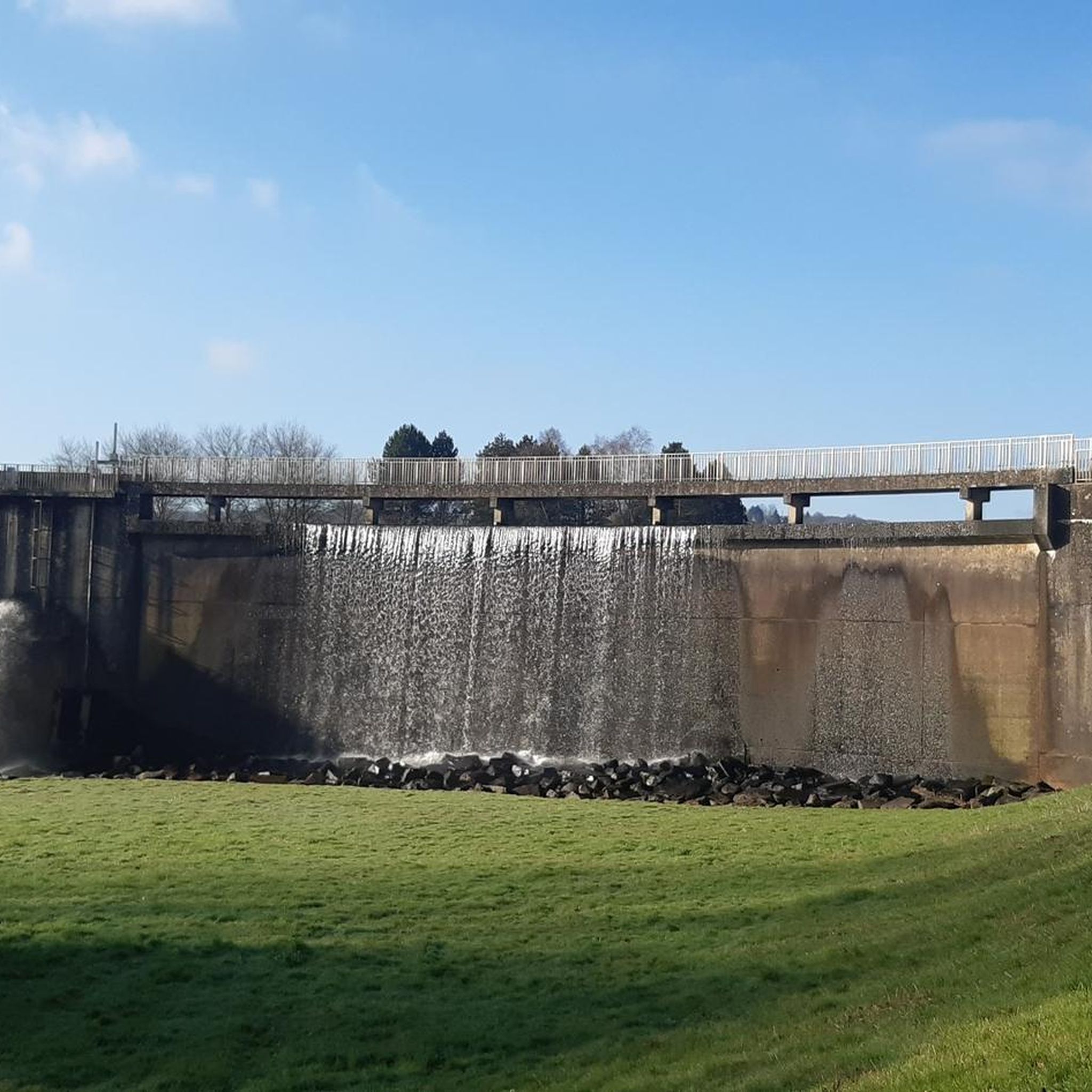
Yes, the Waterfall – Needle Rock loop from Beauficel is a challenging 64.3 km route that incorporates a waterfall into its scenic journey.
Can I find less crowded or 'hidden' gravel trails in the area?
The very nature of the bocage, with its intricate network of rural roads and paths, means there are many quiet lanes to explore. While specific 'hidden' trails aren't listed, venturing off the most prominent routes will likely lead you to less crowded sections of the network.
Are there any shorter gravel bike loops suitable for a quicker ride?
For a shorter, yet still challenging, loop, consider the Moulin de Roullards – The Clock Tower loop from Vire. This route is 40.5 km long and can typically be completed in about 3 hours 26 minutes.
Most popular routes around Saint-Manvieu-Bocage
Most popular attractions around Saint-Manvieu-Bocage

Get inspired with the komoot mobile app


Explore more
Browse the best Gravel rides in other regions.
