The best gravel rides around Corona
5.0
(2)
42
riders
4
rides
Gravel biking around Corona offers diverse landscapes, from rolling hills to rugged canyons, within the Santa Ana Mountains and Cleveland National Forest. The region is characterized by extensive fire roads and dirt tracks, providing varied terrain for off-road cycling. Riders can experience panoramic views of the surrounding areas and utilize trails along the Santa Ana River. This environment supports a range of gravel biking experiences, from sustained climbs to scenic routes through chaparral and oak woodlands.
Best gravel bike trails…
Last updated: May 24, 2026
5.0
(1)
9
riders
46.2km
04:26
980m
980m
Hard gravel ride. Very good fitness required. Mostly paved surfaces. Suitable for all skill levels.
5
riders
40.8km
03:37
940m
940m
Hard gravel ride. Very good fitness required. Mostly paved surfaces. Suitable for all skill levels.

Sign up for free
5
riders
55.7km
04:29
1,060m
1,060m
Hard gravel ride. Very good fitness required. Mostly paved surfaces. Suitable for all skill levels.
4
riders
72.5km
05:28
1,290m
1,290m
Hard gravel ride. Very good fitness required. Mostly paved surfaces. Suitable for all skill levels.
3
riders
37.8km
02:40
370m
370m
Moderate gravel ride. Good fitness required. Mostly paved surfaces. Suitable for all skill levels.
Our route recommendations are based on thousands of hikes, rides, and runs completed by other people on komoot.
Start today with a free account
Your next adventure awaits.
Login or Signup

Other adventures around Corona

Tips from the Community

This is the intersection of five trails: Raptor Ridge Trail, North Ridge Trail, Bovinian Delight Trail or Telegraph Canyon Road. There are also some boards with information about the trails and a restroom.
0
0

The park is a "living museum" of citrus history in California, and has many buildings, orchards, and exhibits to explore. If you bike through the park, know there is a 15mph speed limit for cyclists in the park proper.
0
0
This road is closed to cars, and you can ride at your leisure through the orange groves and orchards of California Citrus State Historic Park.
0
0

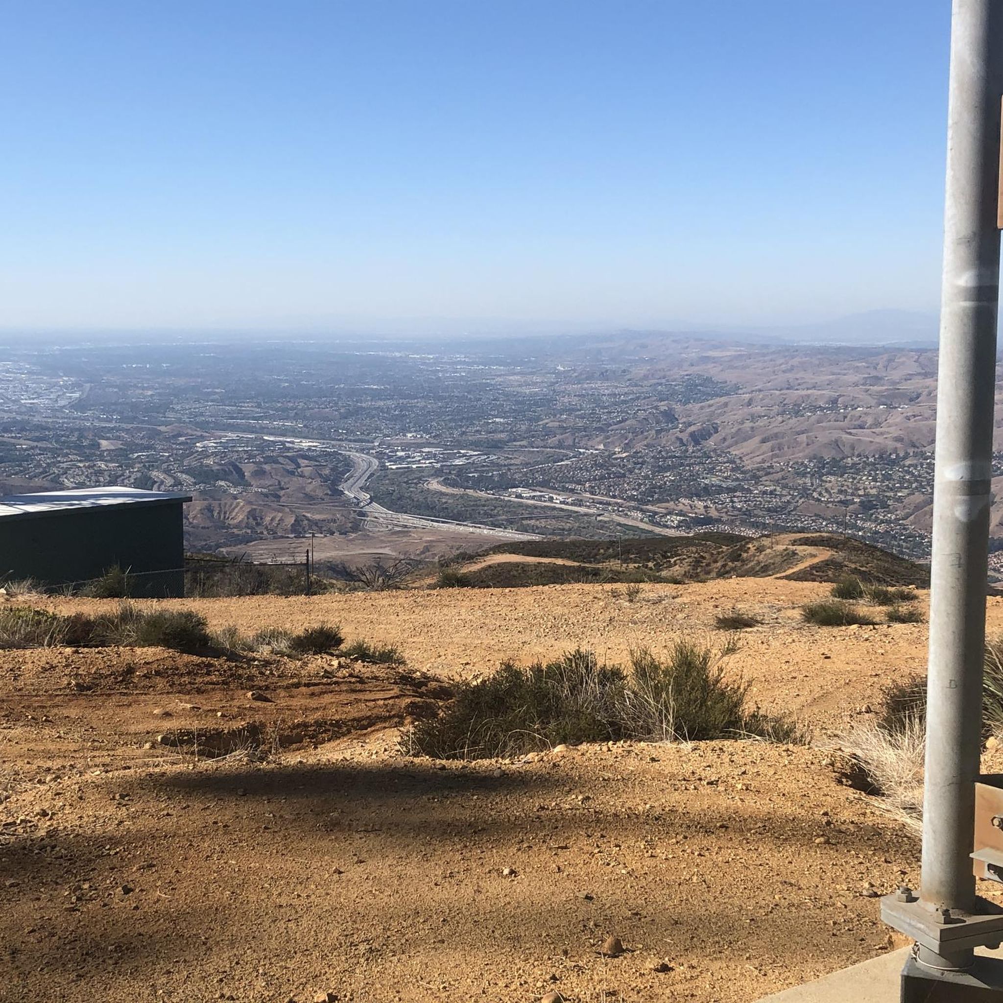
This view of Sierra Peak showcases one of the highest and most easily identifiable peaks in northern Orange County. It stands at 3,045 feet above sea level.
1
0
The Faultline Trail is a mix of dirt singletrack and fire road sections. There are some short, steep climbs and fast descents with loose gravel in places. It is a blue trail with a few sections that may challenge newer riders due to ruts, roots, and tight turns. This trail can get busy with runners and hikers on weekends as well.
1
0

Situated up with the cell towers at 3,045 feet, Sierra Peak offers awesome views of Orange County and the surrounding mountains. Because it's such a long trek from car to summit, you'll likely have most of the route and the peak to yourself.
0
0
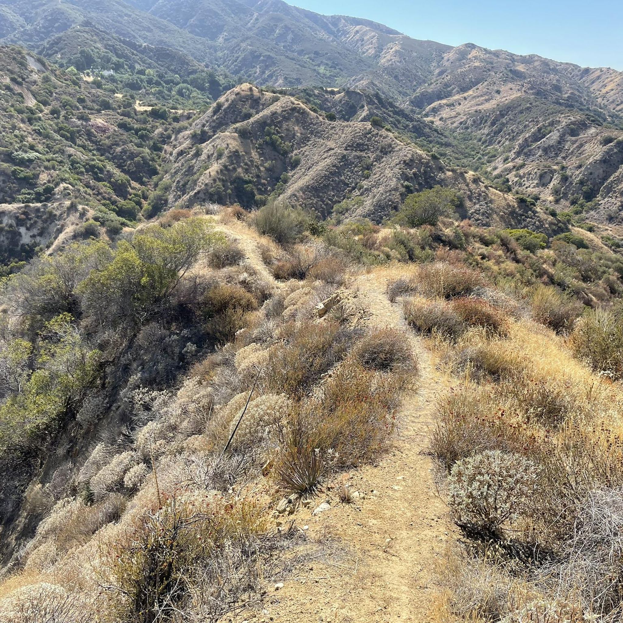
The trail is a wide dirt road through what feels like remote terrain, despite being quite close to Orange County. There is some loose rock that could make the descent mildly technical, but otherwise, this is a fairly steady route to Mini Moab and Sierra.
0
0
This area is designated as a wildlife sanctuary for rare and endangered wildlife. It has about 4,500 acres of wild space and open land.
0
0
Frequently Asked Questions
How many gravel bike trails are available around Corona?
There are over 5 gravel bike routes around Corona listed in this guide, offering a variety of experiences for different skill levels.
What is the general difficulty level of gravel biking in Corona?
The gravel biking routes around Corona tend to be on the more challenging side, with most tours rated as difficult. For example, the Four Corners – View of Yorba Linda loop from Chino Hills High School and the Beeks Place – Sierra Peak Summit loop from Corona High School are both considered difficult due to significant elevation gains. There is also a moderate option, the Gravel loop from California Citrus State Historic Park, which offers a less strenuous ride.
When is the best time of year to go gravel biking in Corona?
Corona benefits from a warm Mediterranean climate with mild winters, making outdoor activities like gravel biking accessible throughout the year. Spring and fall generally offer the most pleasant temperatures, but mild winter days are also excellent for riding.
Are there any loop trails for gravel biking in Corona?
Yes, several routes are designed as loops. You can explore the Four Corners – View of Yorba Linda loop from Chino Hills High School, the Beeks Place – Sierra Peak Summit loop from Corona High School, or the Sierra Peak Summit – View of Sierra Peak loop from Yorba Regional Park for challenging loop experiences. For a moderate option, consider the Gravel loop from California Citrus State Historic Park.
What kind of views can I expect on Corona's gravel bike trails?
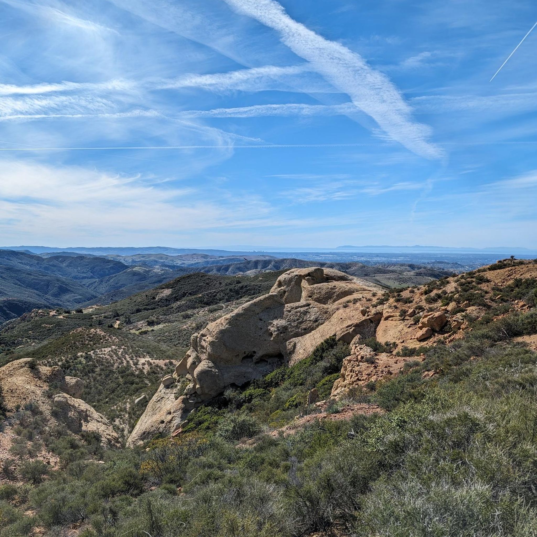
Riders can expect panoramic views of Corona, the surrounding areas, and on clear days, even distant landmarks like Catalina and San Clemente Islands and Long Beach Harbor from higher elevations. Trails often traverse rugged canyons, open ridgelines, and oak woodlands within the Santa Ana Mountains and Cleveland National Forest.
Are there any challenging gravel bike routes for experienced riders?
Absolutely. Experienced riders will find plenty of challenge on routes like the Beeks Place – Black Star Falls loop from Corona–West, which covers over 72 km with significant elevation gain. The Sierra Peak Summit – View of Sierra Peak loop from Yorba Regional Park is another demanding option, featuring over 1000 meters of ascent.
What are some good options for longer gravel bike rides in Corona?
For longer rides, consider the Beeks Place – Black Star Falls loop from Corona–West, which is approximately 72 km long. Another excellent choice is the Sierra Peak Summit – View of Sierra Peak loop from Yorba Regional Park, spanning about 55 km.
Are there any waterfalls along the gravel bike trails in Corona?
Yes, you can find Black Star Falls, a notable natural monument, along the Beeks Place – Black Star Falls loop from Corona–West route. This offers a scenic point of interest during your ride.
What are some notable peaks or viewpoints accessible from Corona's gravel routes?
Many routes offer access to significant peaks and viewpoints. You can reach Sierra Peak Summit via routes like the Beeks Place – Sierra Peak Summit loop from Corona High School or the Sierra Peak Summit – View of Sierra Peak loop from Yorba Regional Park. Other notable peaks in the area include Robber's Peak, Bedford Peak, and Santiago Peak.
What do other gravel bikers enjoy the most about gravel biking in Corona?
The area is highly rated by the komoot community, with an average score of 5.0 stars. Reviewers often praise the diverse landscapes, challenging climbs, and expansive views of the Santa Ana Mountains and surrounding regions.
Most popular attractions around Corona

Get inspired with the komoot mobile app


Explore more
Browse the best Gravel rides in other regions.
