The best MTB trails in Browns Canyon National Monument
4.0
(1)
78
riders
1
ride
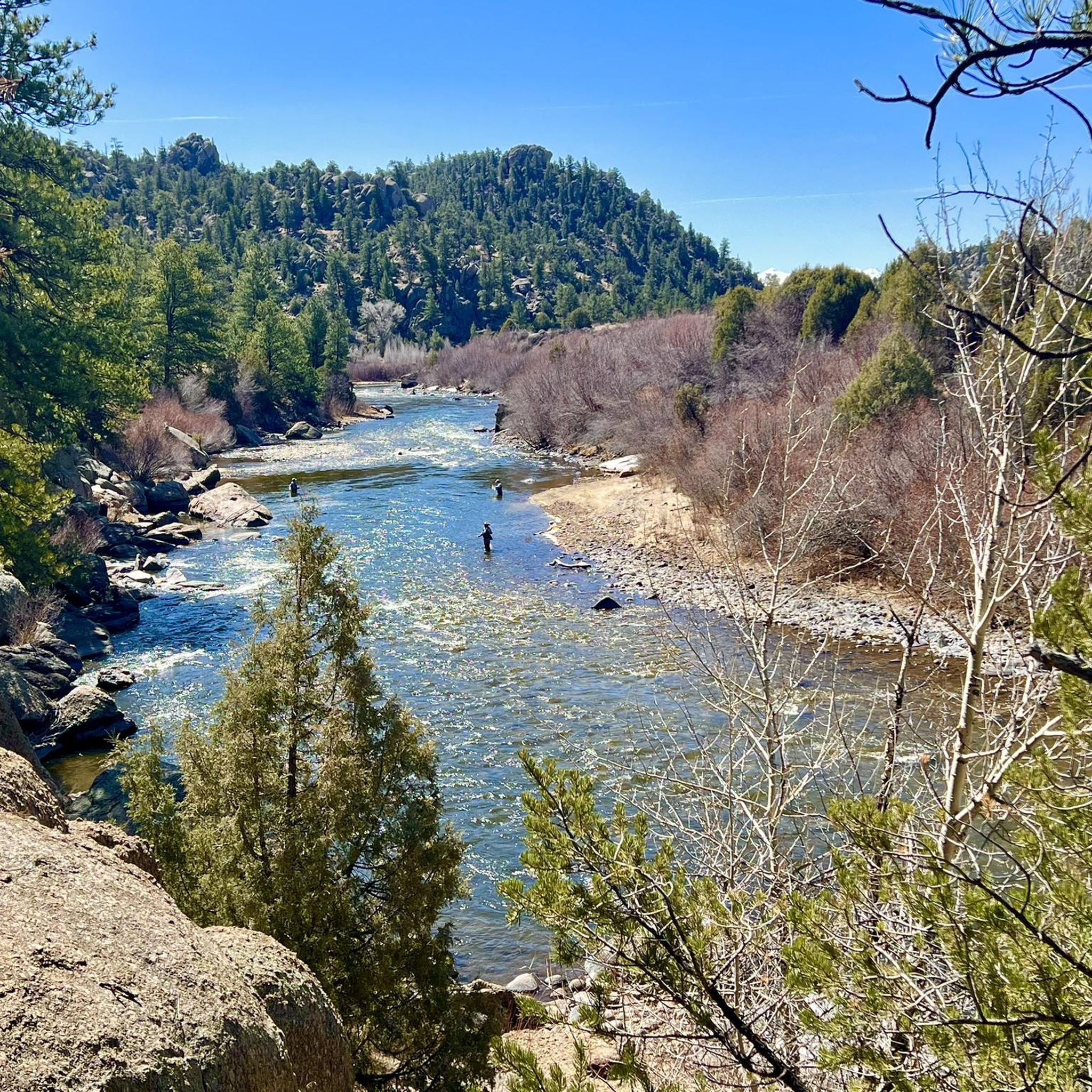
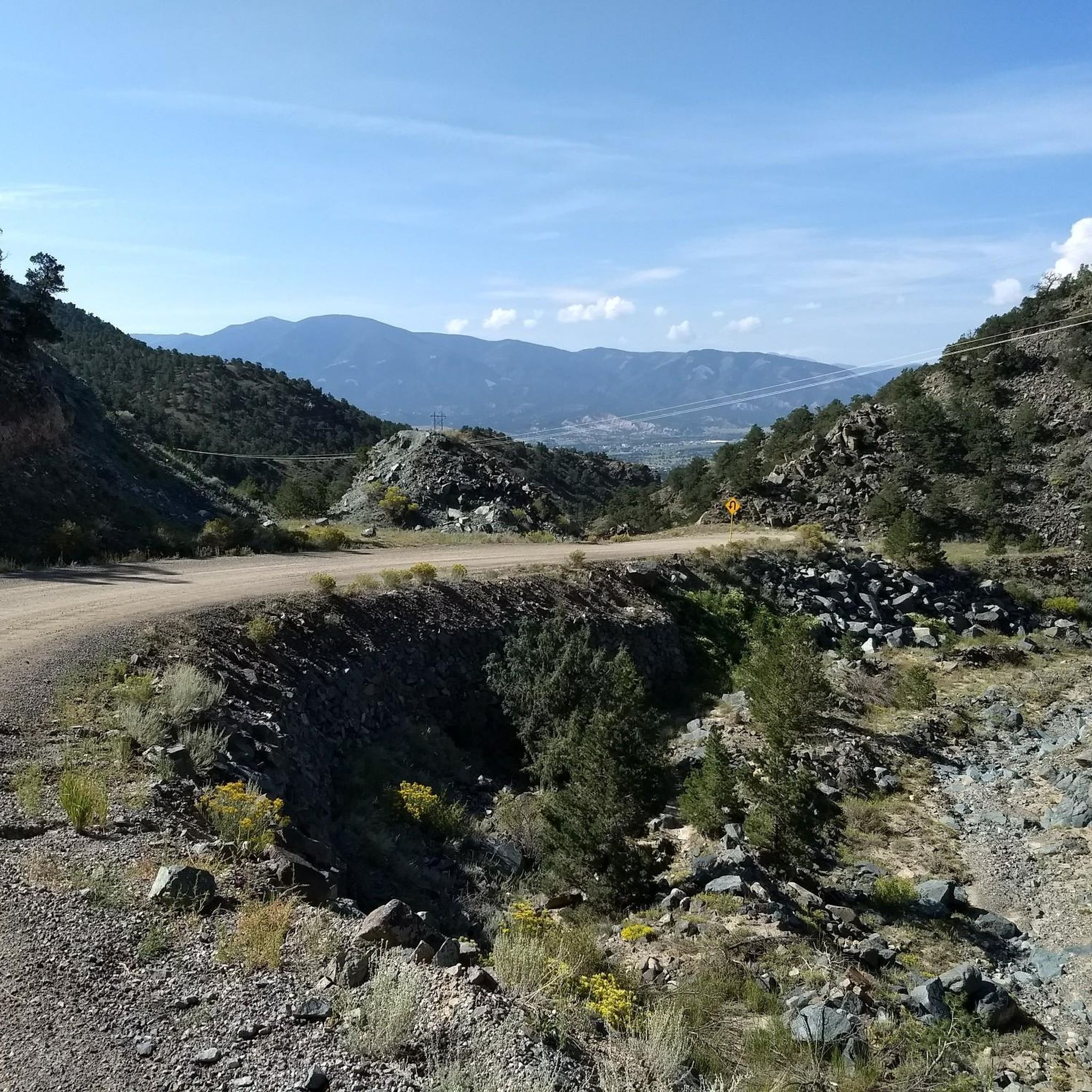
Mountain biking in Browns Canyon National Monument offers diverse terrain across its 21,500 acres, ranging from 7,300 feet to 10,000 feet in elevation. The region is characterized by rugged granite cliffs, colorful rock outcroppings, and views of the Sawatch Range. The Arkansas River carves through the canyon, providing scenic riparian corridors, while wooded drainages with aspen and subalpine grasslands add to the varied landscape.
Best mountain bike trails in Browns Canyon National Monument
- The most popular mountain bike trail is…
Last updated: October 8, 2026
4.0
(1)
7
riders
17.8km
01:44
330m
340m
Moderate mountain bike ride. Good fitness required. Advanced riding skills necessary.
30
riders
19.0km
02:09
290m
290m
Hard mountain bike ride. Good fitness required. Advanced riding skills necessary. Some portions of the route may require you to push your bike.

36
riders
58.2km
05:34
1,240m
1,250m
Hard mountain bike ride. Very good fitness required. Advanced riding skills necessary. Some portions of the route may require you to push your bike.
5
riders
Moderate mountain bike ride. Great for any fitness level. Advanced riding skills necessary.
9
riders
Moderate mountain bike ride. Good fitness required. Advanced riding skills necessary.
2
riders
33.0km
03:00
520m
520m
Moderate mountain bike ride. Good fitness required. Advanced riding skills necessary.
Our route recommendations are based on thousands of hikes, rides, and runs completed by other people on komoot.
Start today with a free account
Your next adventure awaits.
Popular around Browns Canyon National Monument
Tips from the Community

Hillside Drive runs right along the historic Tennessee Pass Subdivision Railway for about a mile
0
0

Trout Creek Pass sits at an elevation of 9,346 feet and connects the Arkansas River and the Plate River Valleys. The pass was originally used by the Denver, South Park and Pacific Railroad to connect Denver to Leadville during the silver boom.
0
0

Few Dollars More Trail is a great multi-use trail close to the city of Buena Vista. It is mainly used for hiking and mountain biking and leads along small bushes through a beautiful landscape. As the trail doesn't include any major inclines, it can be considered easy and family-friendly.
0
0
Broken Boyfriend Trail doesn't have a significant amount of climbing, but it does have enough tech and exposed rock to keep it on the difficult side. Like a lot of other trails in the area, it offers incredible sweeping views of the Swatch Range and the town of Buena Vista.
1
0
Midland Bike Trail is mostly flat smooth singletrack trail and follows a section of the former Midland Railroad. However there are a few short technical spots where the bridges have been removed. There are some stunning wide open views of the Collegiate Peaks and the town of Buena Vista.
0
0

Take this trail if you want to reach Pauli Trail and then Uncle Nazty Trail.
1
0
Super fun trail with lots of techy uphill features if you ride towards CR 175. The trail can be ridden in both directions and is easier – and more fun – if you start at CR 175.
1
1

The upper trails in the Midland Hill area are the two Broken Boyfriend Trails (north and south). These trails definitely have mountain bike features, but they are still fun to run. There are large boulders and rocks in areas and then smooth sections with just dirt.
0
0
Frequently Asked Questions
What types of mountain biking trails can I find in Browns Canyon National Monument?
Browns Canyon National Monument and its surrounding areas offer a diverse range of mountain biking trails. You'll find routes that traverse rugged granite cliffs, backcountry forests, and scenic riparian corridors along the Arkansas River. The terrain varies from moderate, like the Midland Bike Trail Loop, to more challenging paths with significant climbs and technical descents.
Are there any easy mountain bike trails suitable for beginners or families in Browns Canyon National Monument?
While many trails in the broader Browns Canyon area cater to intermediate and advanced riders, specific routes within the monument, such as the Hefley Saddle Trail and Turret Road (Forest Service Road 184), are designated for manually powered mountain bikes and can offer more accessible sections. For a moderate option, consider the Midland Bike Trail Loop, which is 17.8 km long and takes about 1 hour 43 minutes to complete.
What are the regulations for mountain biking within Browns Canyon National Monument?
Within Browns Canyon National Monument, manually powered mountain bikes are permitted on designated routes like the Hefley Saddle Trail and Turret Road (Forest Service Road 184). It's important to note that mechanized travel, including mountain bikes, is generally not allowed on trails within the Browns Canyon Wilderness Study Area. Always check local signage and regulations before heading out.
What is the best time of year to go mountain biking in Browns Canyon National Monument?
The best time for mountain biking in Browns Canyon National Monument is typically during the spring, summer, and fall months. Summers offer warm weather, while spring and fall provide cooler temperatures and vibrant scenery. Winter can bring snow, making many trails inaccessible or requiring specialized fat bikes. Always check current weather conditions before your ride.
Are there any challenging mountain bike trails for experienced riders?
Yes, experienced mountain bikers will find several challenging routes in and around Browns Canyon. For a difficult and rewarding experience, consider the Few Dollars More Trail – Broken Boyfriend Trail loop from Johnson Village, which is 19.0 km long and features challenging climbs and descents. Another demanding option is the Tenderfoot Hill – North Backbone Trail loop from North Backbone Parking, a 58.2 km route with significant elevation changes.
What kind of views and natural features can I expect while mountain biking in Browns Canyon?
Mountain biking in Browns Canyon National Monument offers stunning panoramic views of the Arkansas Valley and the majestic Sawatch Range, including several '14ers' (mountains over 14,000 feet). You'll ride through dramatic granite cliffs, vibrant rock outcroppings, and expansive backcountry forests of ponderosa, aspen, and pinyon. The Arkansas River also carves through the canyon, providing scenic riparian corridors.
Are there any loop trails for mountain biking in Browns Canyon National Monument?
Yes, there are several loop trails available for mountain biking. The Midland Bike Trail Loop is a moderate 17.8 km option. For a more challenging experience, the Few Dollars More Trail – Broken Boyfriend Trail loop from Johnson Village offers a difficult 19.0 km ride. Another loop is the Trout Creek Pass loop from Mushroom Gulch Site 1, a moderate 33.0 km route.
What are the typical elevations and elevation gains for mountain biking in this area?
Elevations within Browns Canyon National Monument vary significantly, ranging from 7,300 feet to 10,000 feet. Mountain bike routes in the area can feature substantial elevation gains. For example, the Tenderfoot Hill – North Backbone Trail loop from North Backbone Parking has an elevation gain of over 1,200 meters, providing a significant climbing challenge.
Where can I find parking for mountain biking trails in Browns Canyon National Monument?
Access points and parking for mountain biking trails in Browns Canyon National Monument and the surrounding San Isabel National Forest are available at various trailheads. For routes like the Tenderfoot Hill – North Backbone Trail loop, parking is available at North Backbone Parking. Always check specific route details for recommended parking locations.
Is public transport available to Browns Canyon National Monument for mountain bikers?
Public transportation options directly to the trailheads within Browns Canyon National Monument are limited. Most visitors access the monument by private vehicle. The monument is located between the towns of Buena Vista and Salida, which may offer some local transit services, but direct connections to specific mountain biking trailheads are generally not available.
Are there any cafes or restaurants near the mountain biking areas in Browns Canyon National Monument?
While there are no cafes or restaurants directly within the monument's backcountry, the nearby towns of Buena Vista and Salida offer a variety of dining options. These towns are excellent places to refuel before or after your ride, with choices ranging from casual cafes to local pubs and restaurants.
What kind of wildlife might I encounter while mountain biking in Browns Canyon National Monument?
Browns Canyon National Monument is home to diverse wildlife. While mountain biking, you might spot mountain lions, bighorn sheep, elk, mule deer, and bobcats. The area is also a habitat for various raptors, including peregrine falcons, prairie falcons, and golden eagles. Always maintain a respectful distance and be aware of your surroundings.
Most popular routes in Browns Canyon National Monument

Get inspired with the komoot mobile app


Explore more
Browse the best MTB trails in other regions.
