The best road cycling routes in Little Book Cliffs Wilderness Study Area
5.0
(1)
120
riders
3
rides
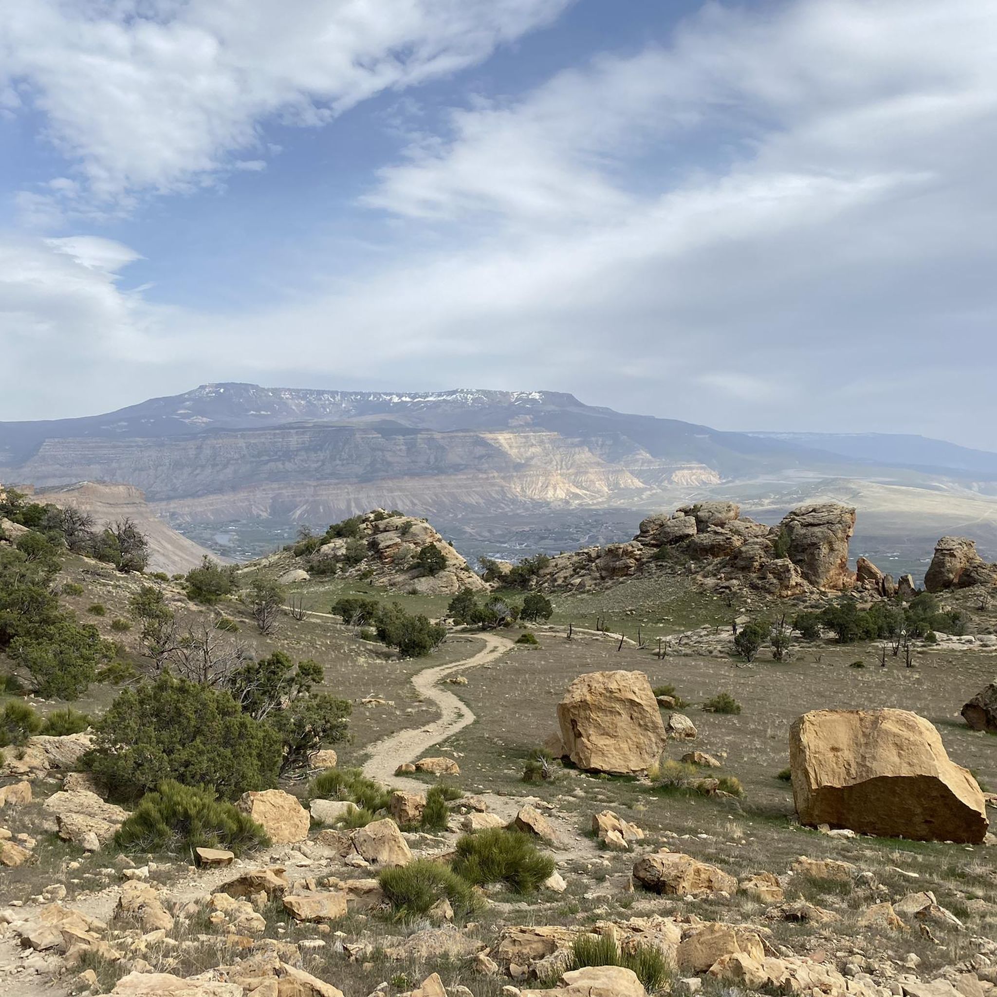
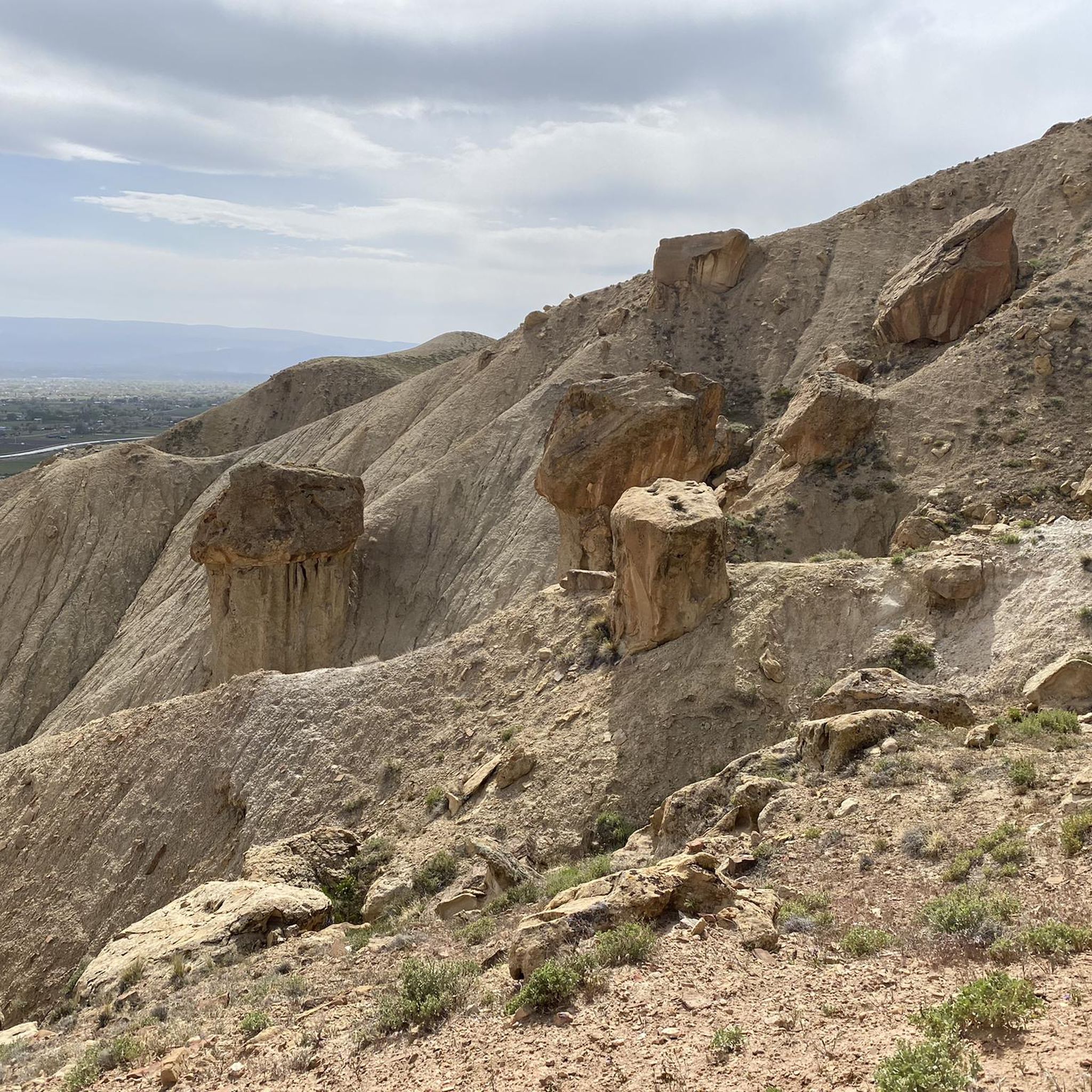
Road cycling routes in Little Book Cliffs Wilderness Study Area traverse a landscape characterized by varied terrain, including open plains, river valleys, and the base of the distinctive Book Cliffs. The region features gently-sloping plateaus and numerous small canyons, with the southern boundary defined by the impressive 2,000-foot-high face of the Book Cliffs. Routes often follow existing roads through the study area's periphery, offering both gentle gradients and more significant elevation changes.
Best road cycling routes in Little Book Cliffs…
Last updated: May 8, 2026
27
riders
56.9km
02:52
120m
120m
Moderate road ride. Good fitness required. Mostly well-paved surfaces and easy to ride.
16
riders
23.4km
01:22
60m
60m
Moderate road ride. Great for any fitness level. Some segments of this route may be unpaved and difficult to ride.

Sign up for free
5.0
(1)
59
riders
68.8km
03:18
150m
150m
Moderate road ride. Good fitness required. Mostly well-paved surfaces and easy to ride.
Our route recommendations are based on thousands of hikes, rides, and runs completed by other people on komoot.
Start today with a free account
Your next adventure awaits.
Login or Signup
Popular around Little Book Cliffs Wilderness Study Area

Tips from the Community

This is a nice stretch of the 28-mile River Front Trail. As the name suggests, this trail follows the Colorado River, but it also passes through or bay a number of nice lakes, ponds, and parks, making it a great choice for a relaxing waterside ride.
0
0

Las Colonias Park is a lovely riverside spot along the Colorado River and the Riverfront Trail. You’ll find picnic shelters, restrooms, a dog park, playgrounds, and an amphitheater that hosts concerts and events. Take a moment to explore the butterfly-shaped pond or rent a kayak or paddleboard nearby. Swimming isn’t allowed in the ponds, but it’s a great place to relax and enjoy some fresh air before getting back on your ride. You can also access the Western Colorado Botanical Gardens right from the park.
0
0
The Riverfront Trail is a paved path that runs alongside the Colorado River, passing several lakes, including Corn Lake. It offers beautiful views of the surrounding mountains and is known for its rich wildlife, while riding you might spot various bird species, including blue herons.
1
0

The Clifton Nature Park is a local favorite in Grand Junction Colorado, accessible either via D Road or the bike trail. This park is wheelchair friendly with many paved paths, a pond with fishing piers, and a nature trail along the river for walking and hiking. There are also many sitting and picnic areas as well as bathrooms for you to use. This is a great place to stop as you walk down the bike path and look for birds and other animals.
0
0
The Clifton Nature Park is a local-favorite in Grand Junction Colorado, accessible either via D Road or the bike trail. This park is wheelchair friendly with many paved paths, a pond with fishing piers, and a nature trail along the river for walking and hiking. There are also many sitting and picnic areas as well as bathrooms for you to use. This is a great place to stop as you ride down the bike path and look for birds and other animals.
0
0

This large pond in the park is fed by the Colorado River and is home to many birds. There is a dirt path that circles the park and fishing is allowed per regulations. The best view is on the east shore with the national monument in the background.
0
0

The lake boasts a nice trail that encircles it between the Colorado River. It derives its name from the Blue Heron birds that frequent this area due to the shallow shores in the area.
0
0
Although the dirt jumps are gone (like in the image) Brown Cycles still remains. The shop, owned and operated by Chris Brown, is arguably the best bike shop in Grand Junction. Their service is impeccable, selection of bikes and accessories are always top notch, and the customer service is outstanding. The shop is full of bicycle memorabilia and the owner is extremely passionate about bikes and ensuring others have a good time on bikes. They do offer rentals ranging from road bikes to mountain bikes and their used bike selection is quite unique. While this is a business, Chris makes everyone who stops by feel like family.
0
0
Frequently Asked Questions
How many road cycling routes are available in the Little Book Cliffs Wilderness Study Area?
There are several road cycling routes available, with komoot featuring 4 distinct tours. These routes offer a range of experiences, from moderate rides to more challenging ascents.
What are the typical distances for road cycling routes in this area?
Routes vary in length, with options ranging from approximately 23 km to over 109 km. For example, the Clifton Nature Park – Corn Lake loop from Clifton is about 23 km, while the challenging Grand Mesa North Climb – Mesa Lake loop from Truck Emergency extends to nearly 110 km.
Are there easy road cycling routes suitable for beginners in the Little Book Cliffs Wilderness Study Area?
While there are no routes specifically graded as 'easy' in our current selection, several 'moderate' routes offer less strenuous options. The Clifton Nature Park – Corn Lake loop from Clifton is one of the shorter moderate options, providing a good starting point for those building endurance.
What is the most challenging road cycling route in the Little Book Cliffs area?
The most challenging route listed is the Grand Mesa North Climb – Mesa Lake loop from Truck Emergency. This difficult route spans 109.7 km and features significant elevation gain, making it suitable for experienced cyclists seeking a demanding ride.
When is the best time of year for road cycling in the Little Book Cliffs Wilderness Study Area?
The best time for road cycling is typically during the spring and fall months when temperatures are milder. Summer can be very hot, especially in the open plains, while winter may bring snow and icy conditions, particularly at higher elevations or on less-trafficked roads.
What kind of scenery can I expect along the road cycling routes?
Road cycling routes in this region offer diverse scenery, including open plains, views of the distinctive Book Cliffs, and sections along river corridors. You'll experience natural landscapes that showcase the unique geology and ecology of the area.
Are there any circular road cycling routes available?
Yes, many of the routes are designed as loops. Examples include the Clifton Nature Park – Corn Lake loop from Palisade and the Blue Heron Lake – Least Tern Pond loop from Highway 6 west of 35 ½ Road, allowing you to start and finish at the same point.
What should I know about weather conditions when planning a ride?
The Little Book Cliffs area can experience significant temperature fluctuations. Summers are hot and dry, while winters can be cold with occasional snow. Always check the local forecast before heading out, and be prepared for sun exposure and potential winds, especially in open areas.
Are there any specific points of interest or landmarks along the routes?
While specific highlights are not detailed for every route, many paths traverse natural areas and pass by features like Blue Heron Lake and Corn Lake, offering scenic views and opportunities to observe local wildlife. The routes also provide continuous views of the impressive Book Cliffs formation.
What do other road cyclists enjoy most about road cycling here?
Road cyclists using komoot often praise the varied terrain, which includes both gentle sections and challenging climbs, and the natural beauty of the landscape, particularly the views of the Book Cliffs and the open plains. The area is appreciated for offering diverse experiences for different skill levels.
Can I find routes that pass through or near towns for amenities?
Some routes start or pass near towns like Palisade and Clifton, which offer opportunities for refreshments and other amenities. For instance, the Clifton Nature Park – Corn Lake loop from Palisade begins in Palisade, providing access to local services.
Are there routes that are particularly good for a moderate-length ride?
For a moderate-length ride, consider the Blue Heron Lake – Brown Cycles Bike Shop loop from Fruitvale, which is about 68.8 km. It offers a balanced experience without the extreme elevation of the most difficult routes.
Most popular routes in Little Book Cliffs Wilderness Study Area

Get inspired with the komoot mobile app


Explore more
Browse the best Road cycling routes in other regions.
