The best road cycling routes around Dammeron Valley
4.8
(8)
352
riders
4
rides
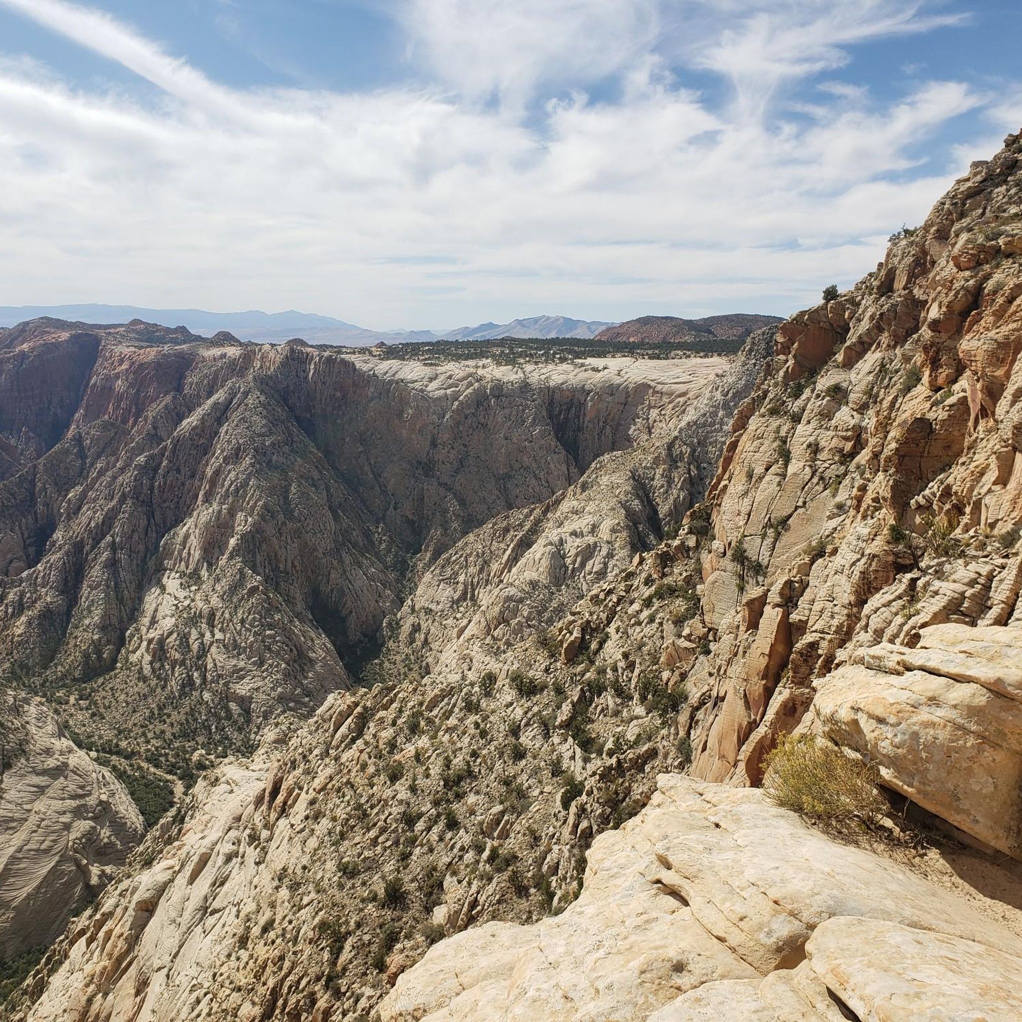
Road cycling routes around Dammeron Valley traverse a landscape where the Mojave Desert, Great Basin, and Colorado Plateau converge. The region features dramatic red Navajo sandstone cliffs, ancient lava flows, and volcanic cinder cones, providing varied terrain for road cyclists. Situated near Pine Valley Mountain, the area offers a distinct desert environment with scenic vistas. Routes often include views of Snow Canyon State Park and its unique geological formations.
Best road cycling routes around Dammeron Valley
- The most popular road…
Last updated: September 30, 2026
4.8
(8)
271
riders
73.2km
03:24
840m
840m
This road cycling loop takes you through the stunning red and white sandstone formations of Snow Canyon State Park, past the Veyo Volcano, and down to Gunlock Reservoir State Park.…
37
riders
Moderate road ride. Good fitness required. Mostly well-paved surfaces and easy to ride.

28
riders
101km
04:32
990m
990m
Hard road ride. Very good fitness required. Some segments of this route may be unpaved and difficult to ride.
12
riders
22.6km
01:06
320m
320m
Moderate road ride. Good fitness required. Mostly well-paved surfaces and easy to ride.
6
riders
32.7km
01:34
460m
460m
Moderate road ride. Good fitness required. Mostly well-paved surfaces and easy to ride.
Our route recommendations are based on thousands of hikes, rides, and runs completed by other people on komoot.
Start today with a free account
Your next adventure awaits.
Popular around Dammeron Valley
Tips from the Community

Scrambling up to the top of this massive rock is pretty much a rite of passage in St. George. So is watching for traffic on the busy Red Hills Parkway — ride carefully!
0
0

Endless expanse very beautiful
4
1

Whiptail Trail is a paved trail that is 5.5 miles round trip and offers views of red and white sandstone formations and allows for access to many different trails within Snow Canyon State Park. The trail has a nice down hill portion if you start at the northern entrance to the park.
1
0
Along the paved Whiptail Trail, you can see these black, basaltic lava boulders that contrast wildly with the red sandstone formations in the background and the red sands along the ground.
1
0

This paved bike path parallels Hwy 18 and gives you the opportunity to take in the views without the worry of distracted drivers.
1
0

Veyo Volcano is an extinct cinder cone volcano. While Veyo & its sister to the south, Santa Clara, are both extinct there is potential for further volcanic activity in the area. That being said it's highly unlikely to happen while you're riding by. If you have the time and energy you can hike to the summit of the volcano but there is no official trail as it's essentially just a giant pile of ash and scree.
0
0
As Frank mentioned in a previous trip the conditions for cycling are top notch. In addition to the low speed limit there is also a paved bike path that parallels the road for added safety, which allows you to take in the incredible scenery at your own pace. In winter you may encounter ice and snow and during summer the temperature can be oppressive. As long as you prepare for seasonal conditions you will have a great ride.
3
0
Frequently Asked Questions
What kind of terrain can I expect on road cycling routes around Dammeron Valley?
Road cycling routes in Dammeron Valley traverse a diverse landscape where the Mojave Desert, Great Basin, and Colorado Plateau converge. You'll encounter dramatic red Navajo sandstone cliffs, ancient lava flows, and volcanic cinder cones, offering visually stunning and varied terrain. The area also features expansive desert scenery and views of Snow Canyon Scenic Road.
How many road cycling routes are available in the Dammeron Valley area?
There are 6 road cycling routes detailed in the Dammeron Valley area, catering to various skill levels from easy to difficult. These routes have been explored by over 300 road cyclists using komoot.
Are there any easy road cycling routes suitable for beginners or a relaxed ride?
Yes, for an easier ride, consider the Snow Canyon Scenic Road – Snow Canyon Road loop from Gila Trailhead. This 8.0-mile (12.8 km) path offers scenic views within Snow Canyon and can typically be completed in about 43 minutes.
What are some scenic viewpoints or natural features I can see while road cycling?
Many routes offer stunning views of the region's unique geology. You can expect to see red rock canyons, expansive desert scenery, and volcanic formations. Specific highlights include the Petrified Dunes and Hidden Pinyon Overlook within Snow Canyon State Park, and the Gunlock Reservoir State Park.
What is the best time of year for road cycling in Dammeron Valley?
Dammeron Valley, at an elevation of 4,626 feet, enjoys cooler temperatures compared to nearby St. George, making it a refreshing escape, especially during hotter months. This suggests spring and fall are ideal, but its desert climate can offer pleasant conditions during winter as well, avoiding the intense summer heat.
Are there any long or challenging road cycling routes for experienced riders?
For experienced riders seeking a challenge, the Chuckwalla Bike Path – Virgin River Trail loop from Santa Clara is a difficult 62.8-mile (101.1 km) route that takes about 4 hours 38 minutes. Another difficult option is the Snow Canyon Scenic Road – Virgin River Trail loop from Lava Flow Trailhead, spanning 110.9 km.
Can I find loop routes for road cycling in Dammeron Valley?
Yes, several routes are designed as loops. For example, the Snow Canyon & Gunlock Reservoir State Parks loop is a popular moderate 45.5-mile (73.2 km) option. Another is the Town Square Park – Chuckwalla Bike Path loop from Snow Canyon Visitor Center, a moderate 37.0 km ride.
What do other road cyclists say about the routes in Dammeron Valley?
The road cycling routes around Dammeron Valley are highly rated by the komoot community, with an average score of 4.6 stars from 5 reviews. Cyclists often praise the stunning desert scenery and the variety of terrain available for different ability levels.
Are there family-friendly road cycling options in the Dammeron Valley area?
While specific 'family-friendly' designations are not provided for all routes, the Snow Canyon Scenic Road – Snow Canyon Road loop from Gila Trailhead is an easy 8.0-mile (12.8 km) loop, which could be suitable for families looking for a less strenuous ride with scenic views.
Is public transport available to access road cycling routes in Dammeron Valley?
Dammeron Valley offers a peaceful, rural setting. While it's within a reasonable drive to St. George amenities, direct public transport options specifically for accessing trailheads are limited. Most cyclists typically rely on personal vehicles to reach starting points.
Are there any cafes or amenities near the road cycling routes in Dammeron Valley?
Dammeron Valley itself has a rural, quiet feel. For a wider range of cafes, pubs, and restaurants, you would typically need to venture into nearby St. George, which is a short drive away. It's advisable to plan for provisions before starting your ride.
Are dogs allowed on the road cycling routes in Dammeron Valley?
While Dammeron Valley is known for its outdoor activities, road cycling routes are generally on paved roads or dedicated bike paths. For the safety of your dog and other cyclists, it's usually not recommended to bring dogs on road cycling routes, especially those with traffic. Always check specific park regulations if cycling within areas like Snow Canyon State Park.
Most popular routes around Dammeron Valley
Most popular attractions around Dammeron Valley

Get inspired with the komoot mobile app


Explore more
Browse the best Road cycling routes in other regions.
