The best running trails in Twin Falls County
101
runners
17
runs
If you've ever tried to plan your jogging routes in Twin Falls County, you know how quickly the options can feel overwhelming. With so many trails winding through this stunning landscape, it's tough to know which ones are genuinely worth your time and effort, and which are just filler. That's where we come in. Our komoot community has logged, explored, and reviewed these routes, so we've done the legwork to bring you a curated shortlist of the best running routes…
Last updated: May 28, 2026
18
runners
Moderate run. Good fitness required. Mostly paved surfaces. Suitable for all skill levels.
16
runners
The Snake River - Canyon Rim Trail – Perrine Bridge - Twin Falls loop offers a fantastic urban jogging experience, combining mostly paved paths with truly expansive views of the…

Sign up for free
8
runners
Moderate run. Good fitness required. Mostly paved surfaces. Suitable for all skill levels.
3
runners
10.2km
01:05
50m
50m
The Running loop from Our Savior Lutheran Church is a practical choice for a local workout, offering a consistent path for your daily jog. This moderate route, spanning 6.3 miles…
4
runners
18.5km
01:57
170m
170m
Hard run. Very good fitness required. Mostly paved surfaces. Suitable for all skill levels.
5
runners
7.76km
00:48
60m
60m
Moderate run. Good fitness required. Mostly paved surfaces. Suitable for all skill levels.
Get access to more routes and recommendations from other explorers.
Sign up for free
Already have an account?
Our route recommendations are based on thousands of hikes, rides, and runs completed by other people on komoot.
Start today with a free account
Your next adventure awaits.
Login or Signup
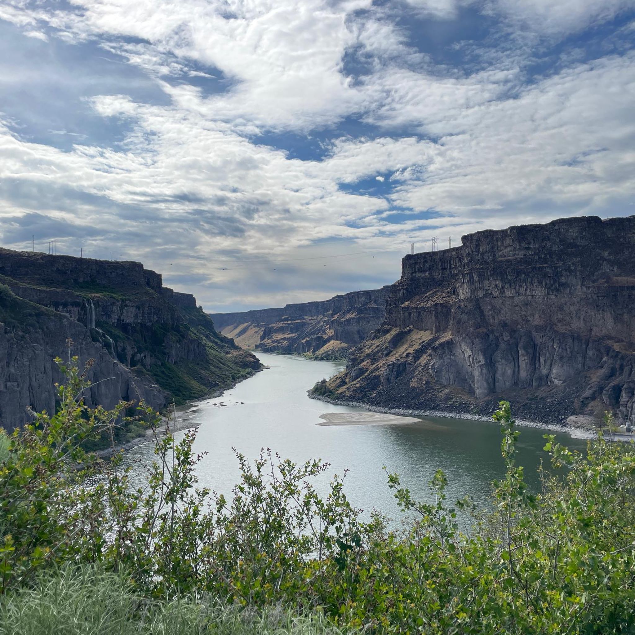

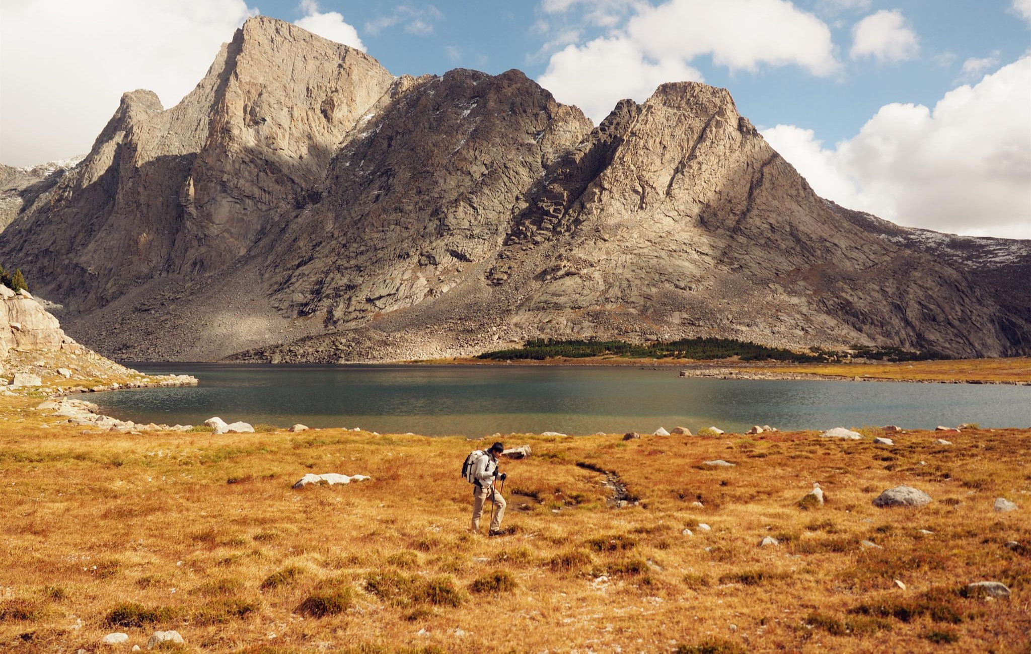
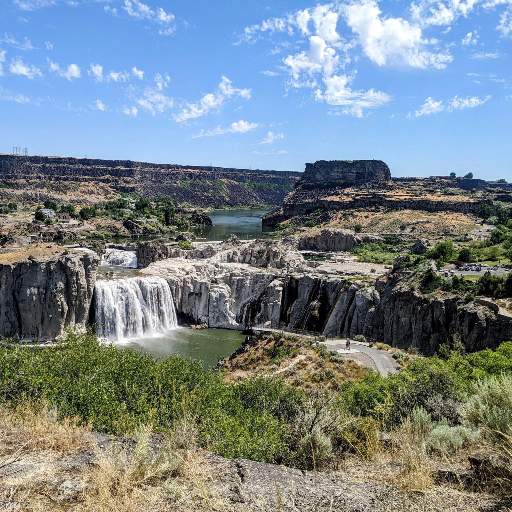
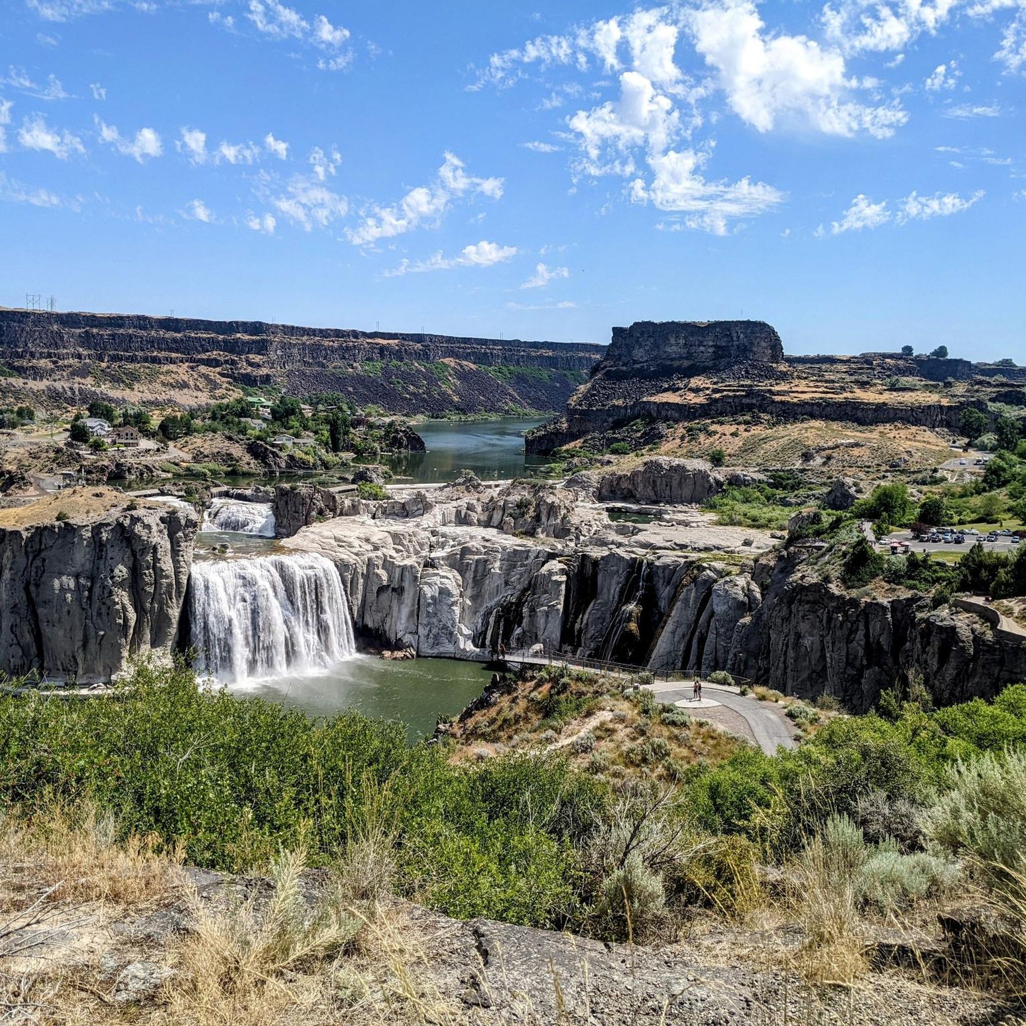
Other adventures in Twin Falls County

Tips from the Community

A boardwalk brings the trail here out above the edge of the rim to an elevated overlook of the impressive waterfalls, often dubbed "the Niagara of the West".
0
0

The railroad bridge over the Snake River near Twin Falls was built in 1914. It was part of the Oregon Short Line Railroad and played a key role in connecting the region by rail during the early 20th century.
0
0

The trail is paved and has a number of different access points so you can customize your hike. You will have to cross Addison Ave and spend a short time on public roads to access the northern half of the trail in Rock Creek Park.
0
0
From here you can hike along the rim of the canyon to Shoshone Falls. The trail passes by Perrine Coulee Falls, the Perrine Memorial Bridge, and the spur trail into the canyon where you can hike alongside Pillar Falls.
0
0
The Snake River flows all the way here from Yellowstone to crest Shoshone Falls. The falls are 212 feet tall and 900 feet wide, and often referred to as the "Niagra of the West".
0
0
Here you can see the ramp where Evel Knievel attempted to cross the canyon on a steam-powered rocket in 1974. The stunt failed due to a malfunctioning parachute, but Evel Knievel escaped with only a broken nose.
0
0
Excellent views from this level, smooth gravel trail with multiple overlooks into the impressive deep canyon
2
0
Engineering masterpiece in steel, providing stellar views up- and down-stream of the Snake River canyon far below.
2
0
Frequently Asked Questions
How many running routes are available in Twin Falls County?
Komoot features 15 diverse jogging routes in Twin Falls County. These routes cater to various preferences, with 2 easy, 11 moderate, and 2 difficult options, ensuring there's a path for every runner.
Are there any easy or beginner-friendly jogging routes in the area?
Yes, Twin Falls County offers several easy jogging options. The Canyon Rim Trailhead – Snake River - Canyon Rim Trail loop from Twin Falls Idaho Temple is a moderate 3.3-mile route that is relatively accessible. Additionally, the paved Snake River Canyon Rim Trail, mentioned in region research, is excellent for beginners, offering flat sections and stunning views.
Which jogging routes offer views of waterfalls?
Many routes in Twin Falls County provide opportunities to see spectacular waterfalls. The Canyon Rim Trailhead – Morgensen Trailhead loop from Perrine Coulee Falls offers views of Perrine Coulee Falls. You can also explore areas near Shoshone Falls, often called the 'Niagara of the West,' or visit Auger Falls Heritage Park for views of Auger Falls and Mermaid Falls.
Are there any circular running routes in Twin Falls County?
Yes, many of the jogging routes in Twin Falls County are designed as loops. For example, the Perrine Bridge - Twin Falls – Snake River - Canyon Rim Trail loop from Twin Falls Idaho Temple is a popular 6.9-mile circular path offering expansive canyon views. Another great option is the Running loop from Twin Falls Idaho Temple, which covers 5 miles.
What kind of landmarks or points of interest can I see while jogging?
Jogging in Twin Falls County offers a wealth of scenic landmarks. You can run past the iconic Shoshone Falls, enjoy panoramic views from the Snake River Viewpoint, or see the famous Perrine Bridge, a popular BASE jumping site. The Snake River - Canyon Rim Trail – Perrine Bridge - Twin Falls loop from Eagle Hall Dormitory is a longer route that showcases many of these features.
Are the jogging routes in Twin Falls County suitable for families?
Many routes are family-friendly, especially the paved sections of the Snake River Canyon Rim Trail. Dierkes Lake Park also offers a pleasant 1.7-mile walking trail around the lake, suitable for a relaxed family run. These areas often have amenities like picnic spots and are generally safe and accessible.
Are there dog-friendly running paths in Twin Falls County?
Most public parks and trails in Twin Falls County, including the Snake River Canyon Rim Trail and Auger Falls Heritage Park, are dog-friendly, provided your dog is on a leash. Always remember to clean up after your pet to keep the trails enjoyable for everyone.
Where can I find parking for the jogging routes?
Many popular trailheads and parks offer convenient parking. For instance, the Snake River Canyon Rim Trail is accessible from several points with parking, including the Visitor's Center, Elevation 468, Shoshone Falls, and Dierke's Lake. Auger Falls Heritage Park and Rock Creek Park also have designated parking areas for trail access.
What do other runners enjoy most about jogging in Twin Falls County?
The komoot community frequently praises the breathtaking scenery, especially the dramatic Snake River Canyon views and the impressive waterfalls. Runners also appreciate the variety of terrain, from paved, accessible paths to more challenging routes with elevation changes, making it suitable for different fitness levels. Over 80 runners have explored these routes with komoot.
What is the best season for running in Twin Falls County?
Spring and fall are generally considered the best seasons for running in Twin Falls County. The weather is milder, and the natural landscapes are vibrant. Spring offers the added spectacle of increased water flow over Shoshone Falls due to snowmelt. Summer can be warm, so early morning or late evening runs are recommended, while winter can offer unique, crisp running conditions, though some trails might be icy.
Are there any less crowded jogging routes available?
While popular spots like the main Canyon Rim Trail can see more activity, you might find quieter experiences on trails further from the main attractions. Exploring the 19 trails of varying difficulty at Auger Falls Heritage Park or the Rock Creek Trailhead loop from Twin Falls could offer a more secluded run, especially during off-peak hours.
Can I see wildlife while running in Twin Falls County?
Yes, the natural settings of Twin Falls County offer opportunities for wildlife spotting. Along the Snake River Canyon and in parks like Auger Falls Heritage Park, you might encounter various bird species, small mammals, and even deer, especially during quieter times of the day. Maintaining a respectful distance is always advised.
Most popular attractions in Twin Falls County

Get inspired with the komoot mobile app


Didn’t find what you were looking for?
Check out more Running Trails & Routes throughout Twin Falls County below and find the perfect route in your destination.
Explore more
Browse the best Running Trails & Routes in other regions.
