Angeles National Forest
Angeles National Forest
Top 9 Mountain Passes in Angeles National Forest
Best mountain passes in Angeles National Forest are primarily located within the San Gabriel Mountains, a vast expanse offering access to extensive trail networks and diverse natural beauty. These passes are often connected by the scenic Angeles Crest Highway (State Route 2). The region provides opportunities for exploring high-mountain scenery and expansive views. Visitors typically need an Adventure Pass or America the Beautiful Interagency Pass for parking in many areas.
Best mountain passes in Angeles National Forest
- The most popular…
Last updated: September 29, 2026
Mount Baldy
Highlight • Summit
Tip by

Vincent Gap - Mount Baden-Powell Trailhead
Highlight • Parking
Tip by

Sign up now to discover places like this
Get recommendations on the best single tracks, peaks, & plenty of other exciting outdoor places.
Glendora Ridge Road
Highlight (Segment) • Mountain Pass
Tip by

Icehouse Saddle
Highlight • Mountain Pass
Tip by
Crystal Lake Climb
Highlight (Segment) • Climb
Tip by

Sign up for free to discover even more mountain passes in Angeles National Forest.
Already have an account?
Start today with a free account
Your next adventure awaits.
Popular around Angeles National Forest

Pacific Crest Trail from Mexico to Canada – 4,200 kilometres of wilderness
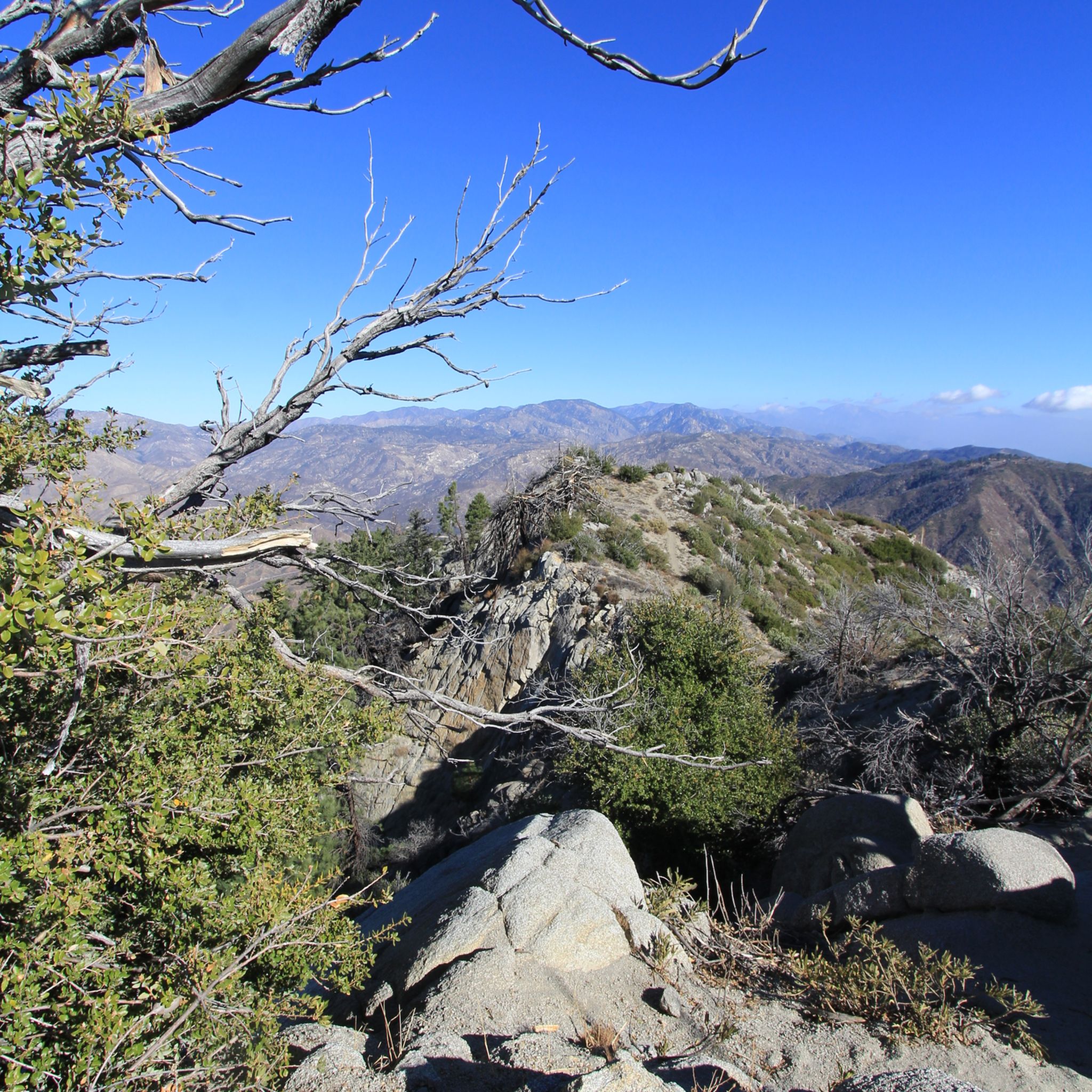
Hiking in Angeles National Forest
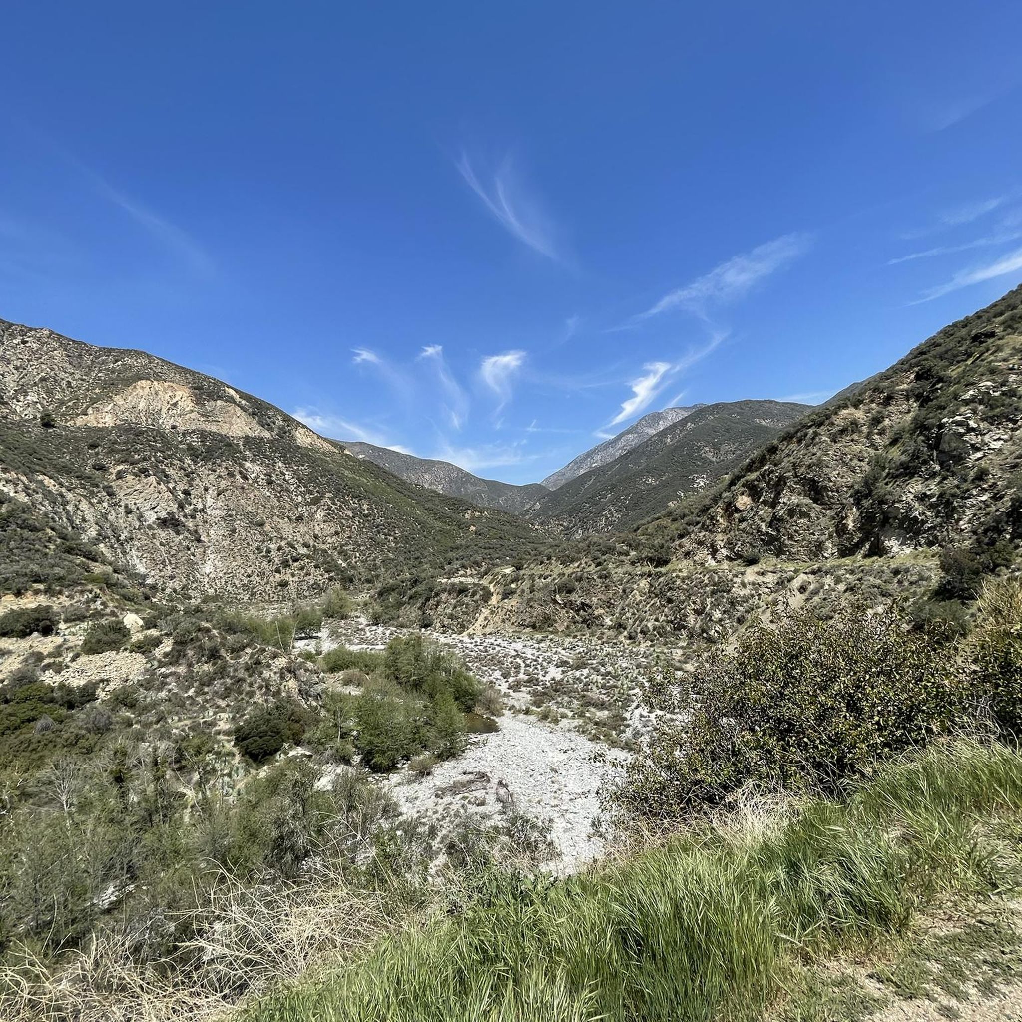
Running Trails in Angeles National Forest
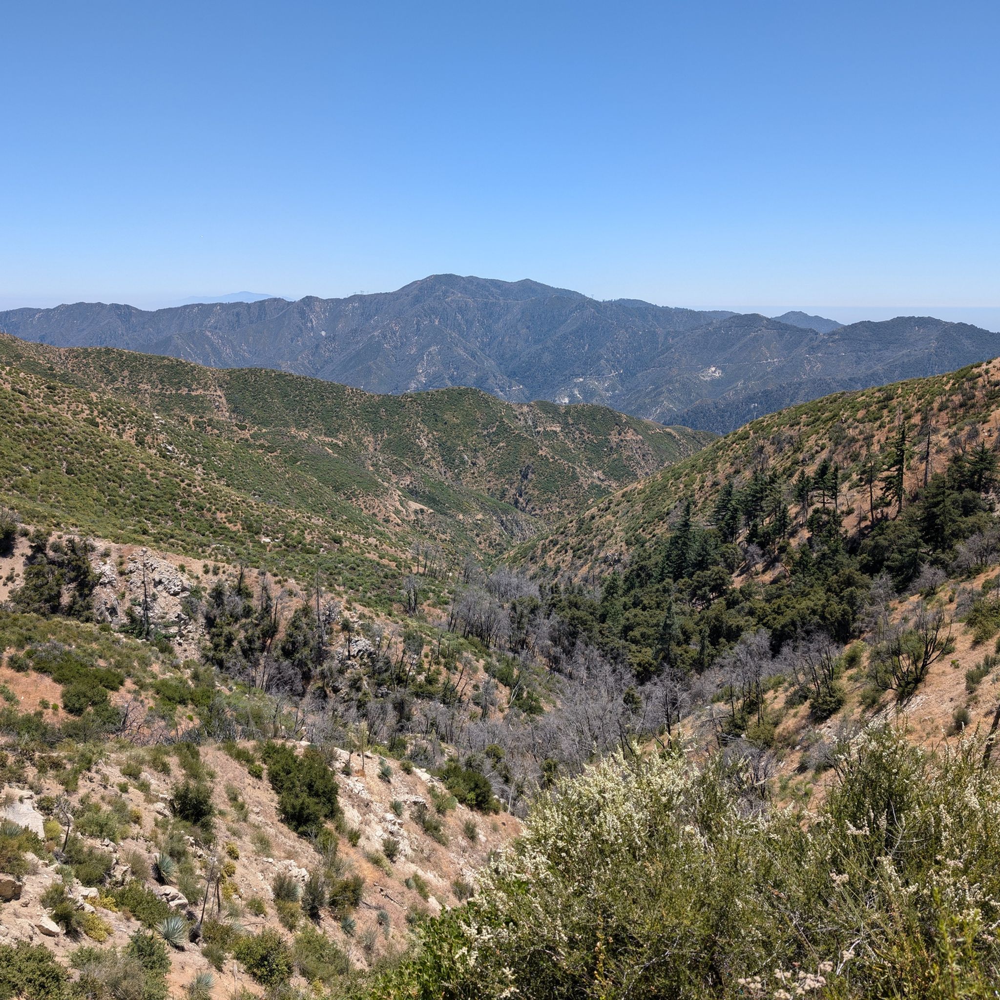
MTB Trails in Angeles National Forest
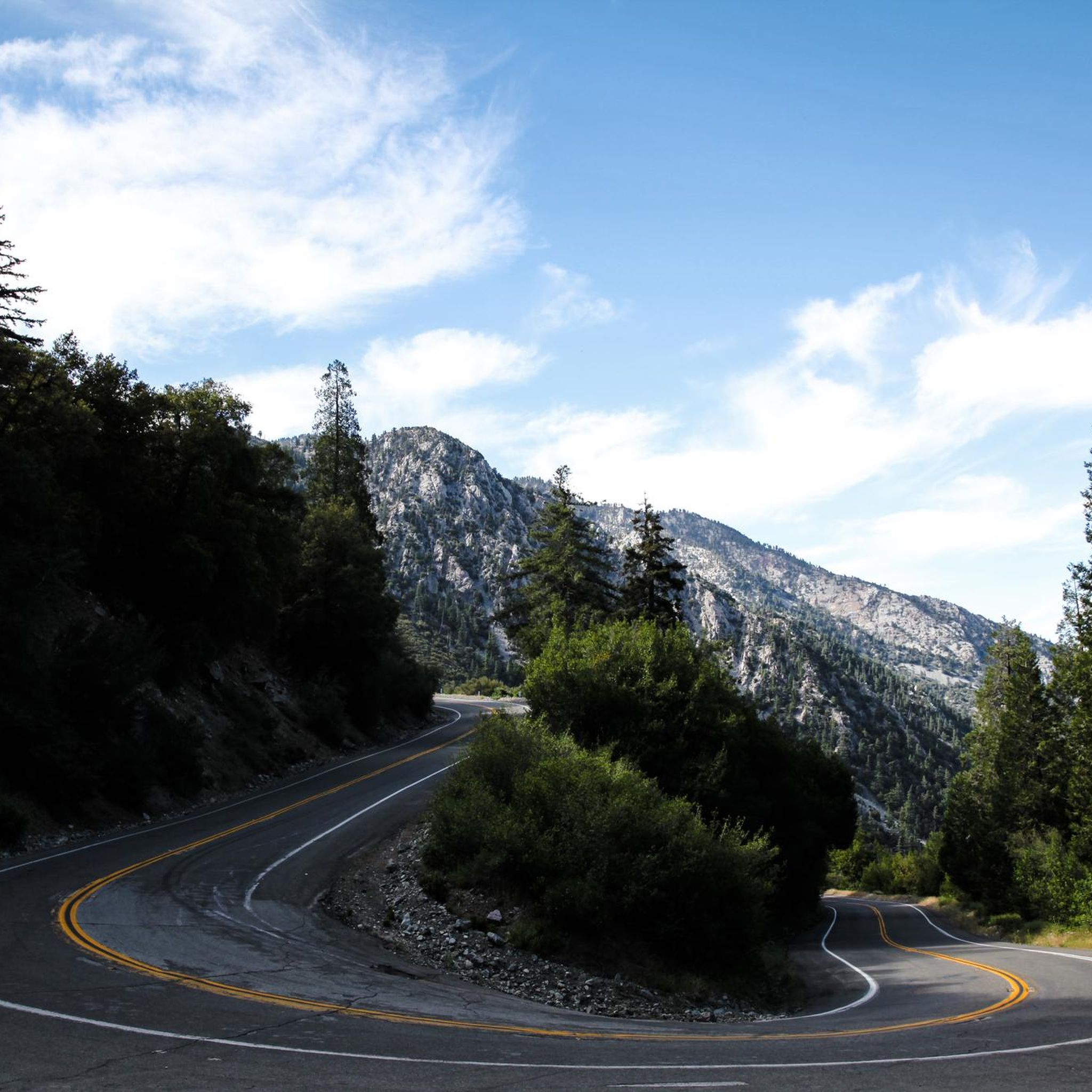
Road Cycling Routes in Angeles National Forest
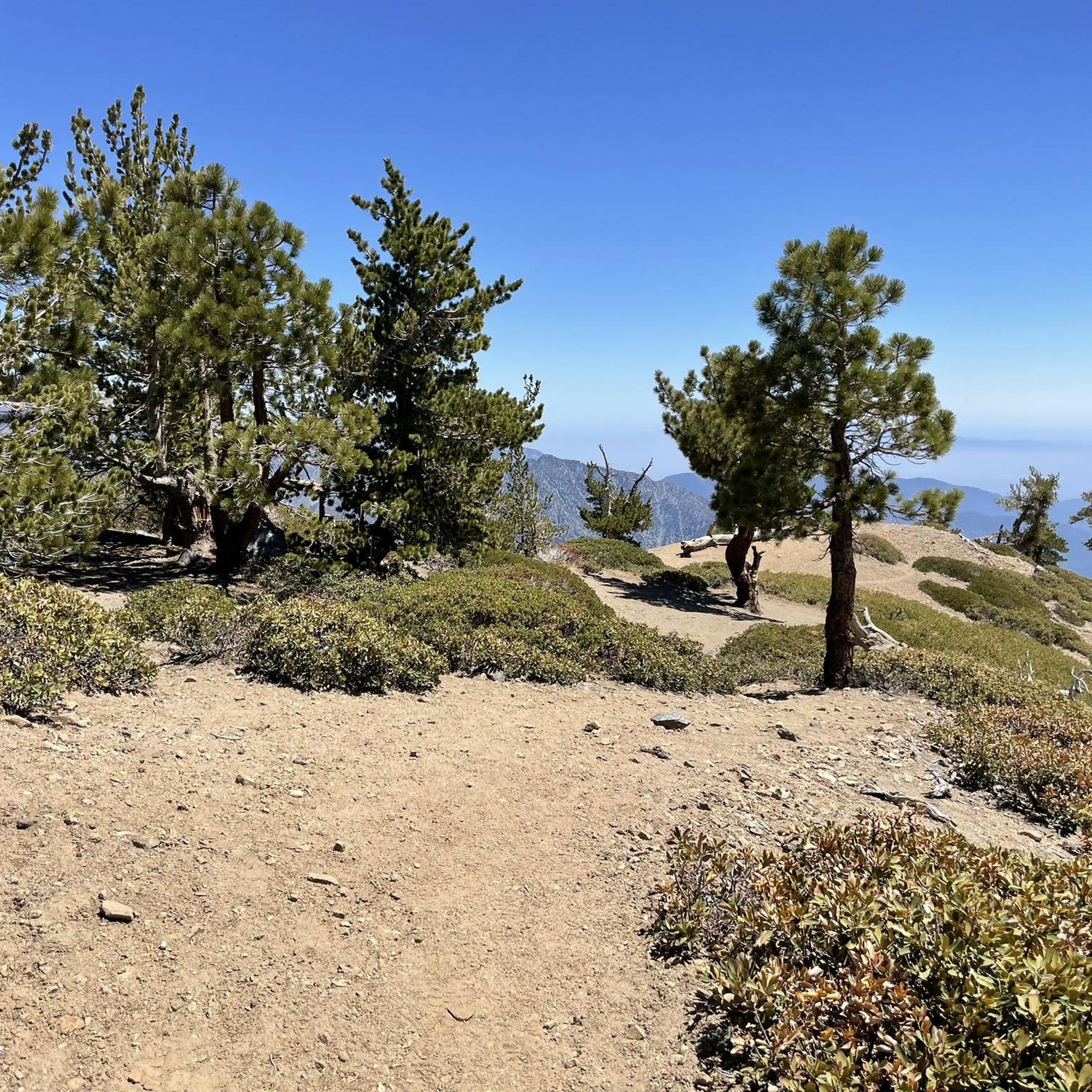
Gravel biking in Angeles National Forest
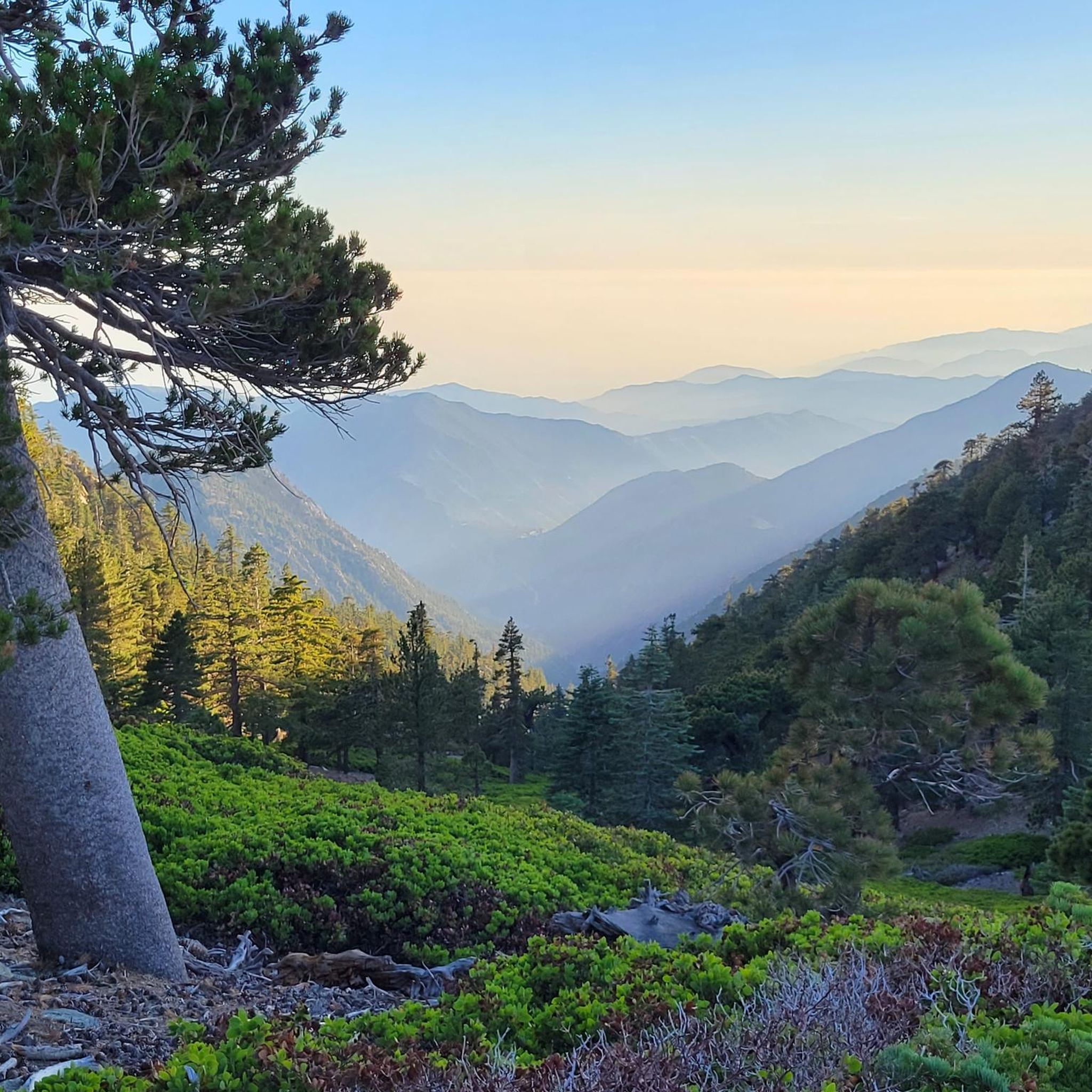
Cycling in Angeles National Forest
Other adventures in Angeles National Forest

Tips from the Community

The Crystal Lake climb begins in the Angeles National Forest, offering cyclists a moderately challenging route through some scenic landscapes. As you approach the 7-mile mark, the climb starts to reward your efforts with dramatic views of the winding switchbacks and the canyon below. The final stretch on Crystal Lake Road provides a peaceful, lightly trafficked road, ideal for cyclists to finish the climb on a well-maintained path with stunning views ahead.
0
0
Highway 39 climbs deep into Southern California’s San Gabriel Mountains, starting with a steady grade that twists through rugged terrain and offers sweeping views. After passing multiple switchbacks, a Crystal Lake turnoff, and a gated parking area around mile 12, the road softens slightly, continuing along a scenic ridgeline toward the junction with Angeles Crest Highway. A final moderate push leads you to Dawson Saddle at just under 8,000 feet, a summit raced by the pros and known as one of California’s most difficult ascents.
0
0

Vincent Gap has a restroom and parking and some nice views of the surrounding area. There is a gate beyond the gab heading west that is seasonally closed. Continue past the gates to further your adventure on the scenic Angeles Crest Highway.
0
0

Mt. Baldy is the highest peak in the San Gabriel Mountains and gets its nickname from the absence of trees near its summit. It is a grind to get here on your bike but you will be rewarded with gorgeous views of the surrounding mountain tops. A very popular and special place.
0
0
Glendora Mountain or Glendora Ridge Road is a very scenic mountain road located on the boundary of San Bernardino and Los Angeles counties. It is a great road ride with views and hills that will take your breath away.
0
0


Whatever your goal for today might be – Cucamonga Peak or any other scenic summit in the Cucamonga Wilderness – this junction is a perfect spot to take a break and eat some snacks. Gain some strength for your way up the beautiful mountains.
3
0

Nicknamed for the absence of trees near its summit, the majestic mountain rises above the Angeles National Forest to a peak of 10,046ft, which marks the highest point in both the San Gabriel Mountains and Los Angeles County. On clear days its oft-snow-capped peak dominates the skyline to the north, rendering the city’s man-made monuments diminutive by contrast. Mount Baldy is part of our Montagnes du Monde series, head over to https://bit.ly/3kBSNqN and claim your badge if you rode this classic.
3
0
Frequently Asked Questions
What are some of the most scenic mountain passes in Angeles National Forest?
The Angeles National Forest offers several scenic mountain passes, many accessible via the Angeles Crest Highway. Notable passes include Islip Saddle, which provides spectacular views over the San Gabriel Valley, and Dawson Saddle, the highest point on the Angeles Crest Highway, offering dramatic high-mountain scenery and expansive views of the Mojave Desert and Pacific Ocean on clear days. Another key location is Vincent Gap, a primary trailhead for the Mount Baden-Powell summit, known for its panoramic 360-degree views.
Are there family-friendly mountain passes or trails in Angeles National Forest?
Yes, some areas around the mountain passes can be family-friendly, especially for scenic drives and shorter walks. For example, the Vincent Gap - Mount Baden-Powell Trailhead is listed as family-friendly, offering access to trails. When planning, consider the difficulty and length of trails to ensure they are suitable for all family members. Always check current conditions and trail ratings.
What kind of natural features can I expect to see around the mountain passes?
The mountain passes in Angeles National Forest are rich in natural beauty. You can expect to see diverse landscapes, from open forests of various pine species around Dawson Saddle to the ancient Limber Pines on the trail to Mount Baden-Powell from Vincent Gap. Many passes offer sweeping views of the San Gabriel Mountains, the San Gabriel Valley, the Mojave Desert, and even the Pacific Ocean on clear days. Mount Baldy, for instance, is nicknamed for its treeless summit, providing a unique high-alpine feel.
What outdoor activities can I do near these mountain passes?
The mountain passes serve as excellent starting points for various outdoor activities. You can find extensive trail networks for hiking, such as those leading from Islip Saddle to Mount Islip or Little Jimmy Campground. The region is also popular for cycling, with routes like Glendora Ridge Road offering scenic rides. For more specific cycling adventures, explore the Gravel biking in Angeles National Forest or Road Cycling Routes in Angeles National Forest guides. Mountain biking enthusiasts can also find trails in the area, detailed in the MTB Trails in Angeles National Forest guide.
What permits or passes are required for parking and hiking in the Angeles National Forest mountain passes?
For parking in many areas around the mountain passes, visitors typically need an Adventure Pass or an America the Beautiful Interagency Pass. These passes are often required at trailheads and picnic sites. For example, to park at the Vincent Gap - Mount Baden-Powell Trailhead, you'll need one of these passes or a 5-dollar day permit from a ranger's office. It's always a good idea to check specific requirements for your chosen destination.
When is the best time to visit the mountain passes in Angeles National Forest?
The best time to visit depends on your desired activity. Spring and fall generally offer pleasant temperatures for hiking and cycling. During winter, heavy snowfall can close segments of the Angeles Crest Highway, particularly between Islip Saddle and Vincent Gap, making access challenging or impossible for some passes. Always check road and weather conditions before your visit, especially outside of summer.
Are there any challenging hikes accessible from the mountain passes?
Absolutely. Many mountain passes serve as gateways to challenging hikes. From Vincent Gap, you can embark on the strenuous but rewarding hike to Mount Baden-Powell. Dawson Saddle offers access to trails leading to Throop Peak, Mount Burnham, and Mount Baden-Powell, providing high-mountain scenery. Icehouse Saddle is another key junction for challenging routes to peaks like Cucamonga Peak.
What is the highest point on the Angeles Crest Highway?
The highest point on the Angeles Crest Highway is Dawson Saddle, reaching an elevation of 7,903 feet (2,409 m). It's located in the central San Gabriel Mountains and offers stunning views and access to several trails.
Can I access the Pacific Crest Trail from these mountain passes?
Yes, several mountain passes in the Angeles National Forest provide access to the Pacific Crest Trail (PCT). Both Islip Saddle and Vincent Gap are crucial points on the PCT, with trailheads available. Mill Creek Summit also serves as a starting point for hikes on the Pacific Crest Trail, including a route to Pacifico Mountain.
What do visitors enjoy most about the mountain passes in Angeles National Forest?
Visitors frequently highlight the spectacular views and the sense of escape into nature. The panoramic vistas from summits like Mount Baden-Powell, accessible from Vincent Gap, are often praised. The challenging yet rewarding hikes, the scenic drives along Angeles Crest Highway, and the opportunity to experience diverse natural beauty are also highly valued by the komoot community.
Are there any facilities or amenities near the mountain passes?
Some mountain passes offer basic facilities. For instance, Islip Saddle features a parking lot and public restrooms. Mill Creek Summit provides a picnic site. While direct amenities like cafes or pubs are not typically found directly at the passes themselves, you might find options in nearby towns or at specific recreation areas along the Angeles Crest Highway. It's always advisable to bring your own supplies.
Most popular routes in Angeles National Forest
Most popular attractions in Angeles National Forest

Get inspired with the komoot mobile app


Explore more
See even more epic mountain passes by checking out these guides in Angeles National Forest:
