The best gravel rides around National City
3.3
(3)
30
riders
8
rides
Gravel biking around National City offers access to diverse terrain, from scenic bayfront pathways to rugged inland trails. The region is characterized by its strategic location along San Diego Bay, providing routes that connect to regional parks and wildlife refuges. Cyclists can explore open grasslands, canyons, and areas around reservoirs, with varied surfaces ranging from smooth paths to more challenging, unpaved sections. This landscape provides a mix of experiences for gravel bikers.
Best gravel bike trails around National City
- The most popular gravel bike trail is Bayshore and Sweetwater Bikeway Loop, a 59.0 miles (94.9 km) trail that takes 7 hours 20 minutes to complete. This route combines bayfront views with sections through the Sweetwater area.
- Another top favourite among local gravel bikers is Chula Vista loop, a difficult 50.3 miles (81.0 km) path. This route explores the varied terrain surrounding Chula Vista, including both urban and natural landscapes.
- Local gravel bikers also love the Sweet Water River Trail – Sweetwater River Crossing loop from Cockatoo Grove, a 19.0 miles (30.6 km) trail leading through open grasslands and streamside vegetation, often completed in about 2 hours 37 minutes.
- Gravel biking around National City is defined by bayfront paths, regional parks, and expansive wildlife refuges, with options for both moderate and difficult routes.
- The routes in National City are highly rated by the komoot community with an average score of 3.0 stars from over 2 reviews. More than 20 gravel bikers have used komoot to explore National City's varied terrain.
Last updated: October 1, 2026
1
riders
94.9km
07:21
660m
660m
Embark on the Bayshore and Sweetwater Bikeway Loop, a challenging gravel biking route that showcases the diverse landscapes of San Diego. This 59.0-mile (94.9 km) journey takes you from the bustling urban views of San Diego Bay and Coronado, past landmarks like the historic Hotel del Coronado, to the tranquil, natural settings of the Sweetwater River. You'll experience a mix of paved paths and sections of dirt and crushed gravel, particularly as you wind through Sweetwater Regional Park, offering a dynamic and engaging ride for experienced cyclists.
Planning your ride on this difficult route, which typically takes around 7 hours and 20 minutes to complete with 2170 feet (661 metres) of elevation gain, is essential. While specific trailhead parking isn't detailed, consider starting early to ensure a good spot. The option to incorporate a ferry crossing from Coronado back to San Diego adds a fun logistical twist. Always pack ample water and snacks, and check the weather, as the varied terrain and length require preparation.
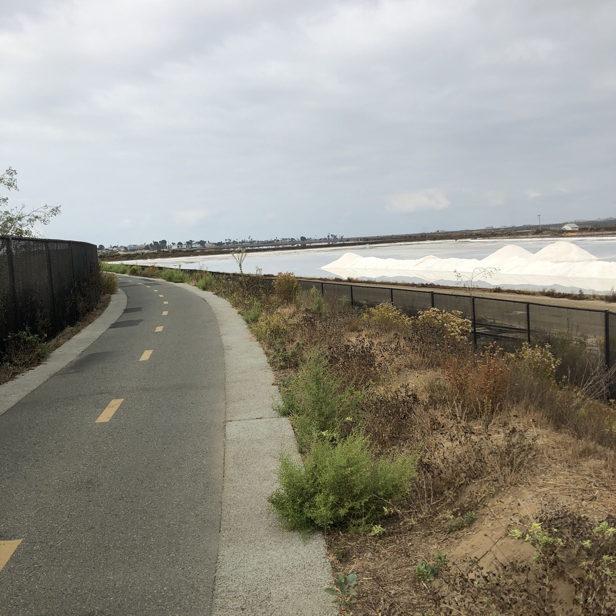
This loop is a fantastic way to explore the region's blend of urban and natural beauty, connecting the iconic Bayshore Bikeway with the Sweetwater River Trail gravel biking experience. You'll encounter the San Diego Bay National Wildlife Refuge, a crucial wetland for migratory birds, offering opportunities for wildlife spotting. The route is part of a larger network, including the California Coastal Trail, making it a significant and memorable ride in the San Diego area.
2
riders
81.0km
05:49
700m
700m
The Chula Vista loop offers a dynamic gravel biking experience, weaving through a tapestry of landscapes from coastal wetlands to rolling hills. You'll encounter everything from singletrack and chunky gravel to paved sections, passing under the massive 125 bridge and alongside the Otay River. The scenery is remarkably diverse, contrasting urban areas with natural parks and offering views of San Diego Bay and even Mexico from higher elevations near Otay Lakes.
Planning your ride on this difficult 50.3-mile (81.0 km) route, which involves 2307 feet (703 metres) of elevation gain and takes about 5 hours and 49 minutes, requires some preparation. Since it's not a single defined path, starting points can vary, but areas around Sweetwater Park Trail or Otay Valley Regional Park are good options. Always check local trail conditions, especially regarding the varied terrain, and consider riding during cooler parts of the day or year.
What makes Chula Vista gravel biking routes stand out is their exceptional diversity in both terrain and scenery, providing a comprehensive look at the region's hidden sides. The extensive network allows for exploration and offers options for various skill levels, from moderate paths to challenging mountain ascents. The City of Chula Vista is actively working to formalize and manage these trails, enhancing the overall experience with improved signage and infrastructure.

4.0
(1)
8
riders
30.5km
02:35
530m
530m
Hard gravel ride. Very good fitness required. Mostly paved surfaces. Suitable for all skill levels.
5.0
(1)
6
riders
17.9km
01:16
210m
210m
Moderate gravel ride. Good fitness required. Mostly paved surfaces. Suitable for all skill levels.
6
riders
71.3km
04:38
1,250m
1,250m
Hard gravel ride. Very good fitness required. Mostly paved surfaces. Suitable for all skill levels.
Get access to more routes and recommendations from other explorers.
Already have an account?
Our route recommendations are based on thousands of hikes, rides, and runs completed by other people on komoot.
Start today with a free account
Your next adventure awaits.
Tips from the Community

A great place to relax and a central point for exploring the park.
0
0

Nice bike trail. Just watch out for the homeless camp
0
0

The Sweetwater River Trail is an 8-mile loop trail that runs along both sides of the river. The trail has some elevation gain, but this gives you nice views of the nearby mountains.
0
0

Hidden nature gem north of Balboa Park with an entrance from Richmond Street and connection to the Bridle trail.
3
0
Balboa Park began as 1400 acres of land set aside in 1868 by San Diego civic leaders. Known then as “City Park”, the scrub-filled mesa that overlooked present-day Downtown San Diego sat without formal landscaping or development for more than 20 years. (Today the Park’s total land parcel has been reduced to 1,200 acres.) The first steps in Park beautification were made in 1892, largely due to the contributions of Kate Sessions. Sessions offered to plant 100 trees a year within the Park as well as donate trees and shrubs around San Diego in exchange for 32 acres of land within the Park boundaries to be used for her commercial nursery. Several popular species, including the birds of paradise, queen palm, and poinsettia were introduced into the Park’s horticulture because of Sessions’ early efforts. In fact, many of her original trees are alive and visible today. Just after the turn of the century, a master plan for Park improvements and beautification was formally introduced. Supported by a City tax levied in 1905, the process began in 1903 and continued through 1910. Water systems were installed, planting continued, roads were built, and the Park began to take on much of the familiar look of today. As San Diego was set to play host to the 1915 Panama-California Exposition, and “City Park” was a less-than-memorable or distinctive name for such an internationally prestigious event. In 1910, Park Commissioners announced plans to re-name City Park and the public was eager to throw potential names into the hat, including San Diego Park, Silver Gate Park, Horton Park, and Miramar Park. After months of discussion and great public interest, the Park Commissioners decided on the name Balboa Park, chosen in honor of Spanish-born Vasco Nuñez de Balboa, the first European to spot the Pacific Ocean while on exploration in Panama. https://balboapark.org/about-balboa-park/
3
0

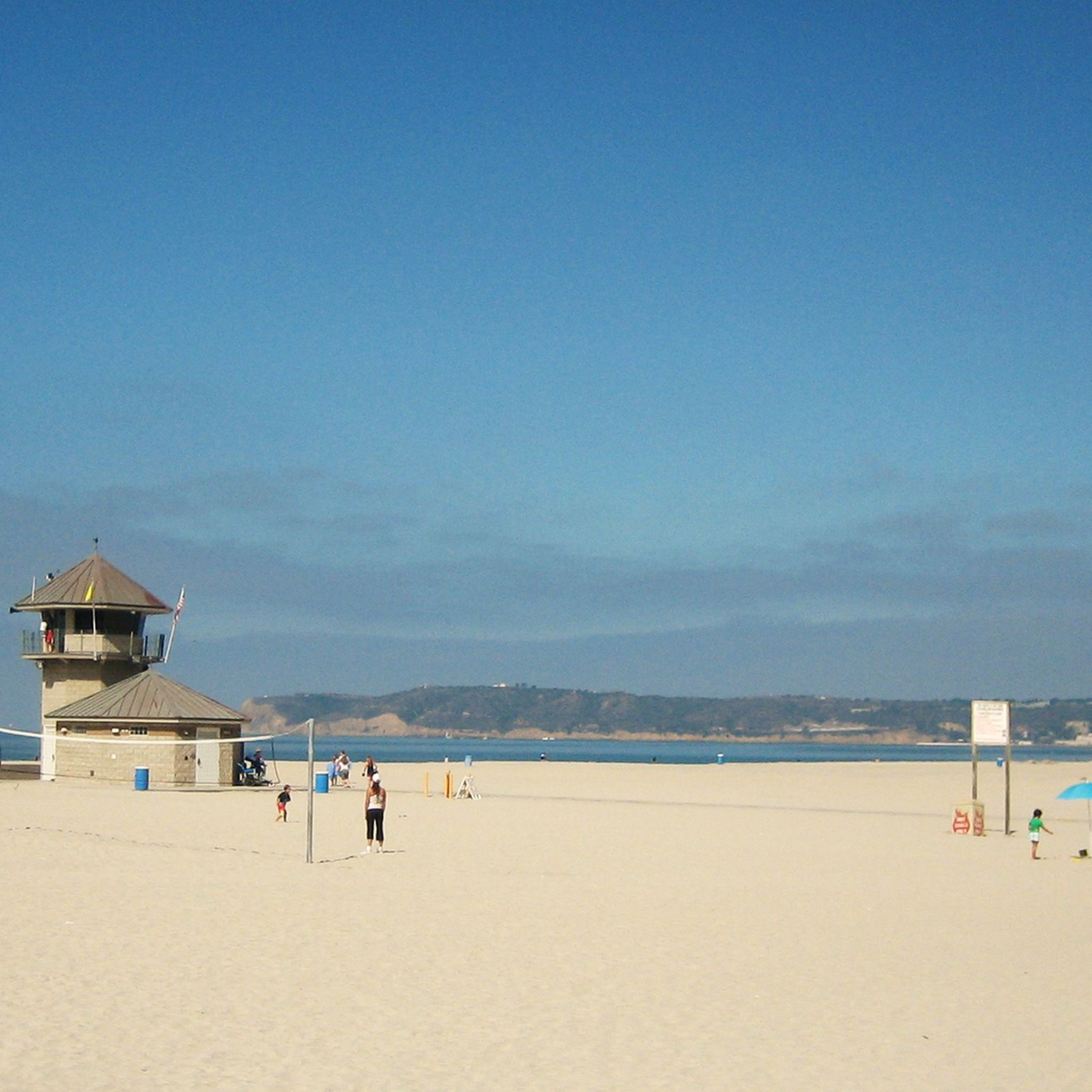
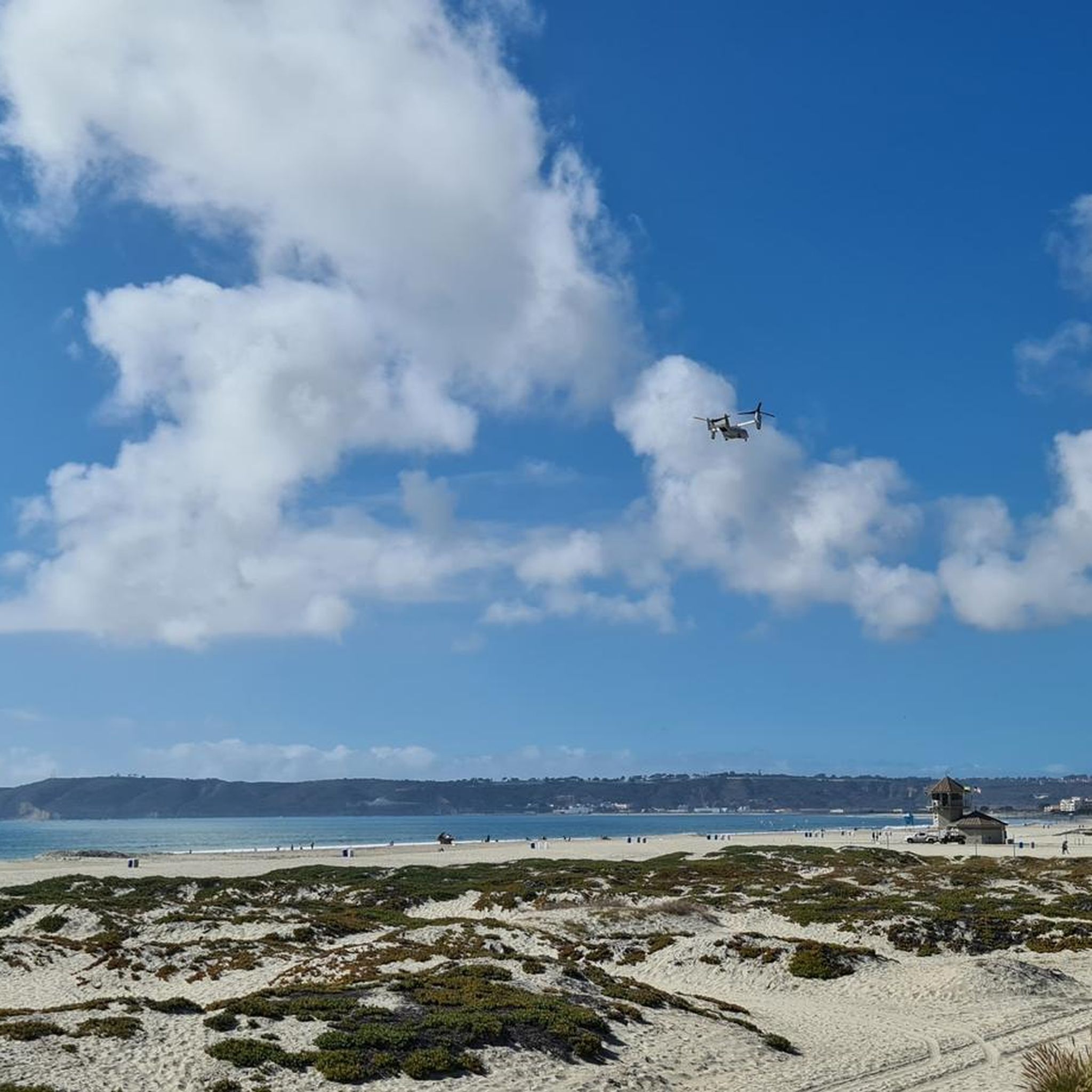
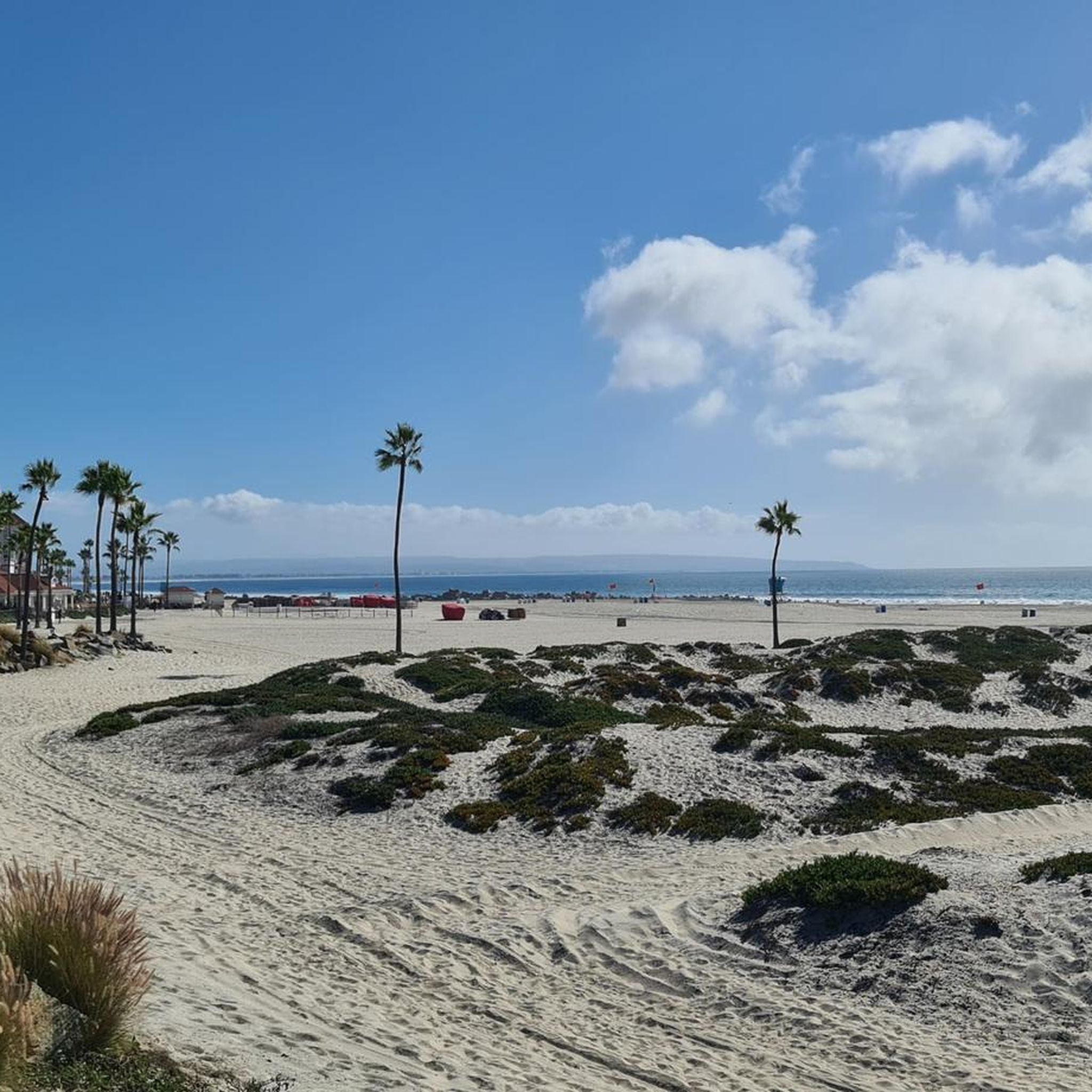
Centennial Park is home to the Coronado Ferry Terminal. You can catch the ferry and ride it back to San Diego from here. There are also some grassy areas, a beach, and a bunch of restaurants and shops here.
0
0

Within Sweetwater Regional Park, Sweetwater Park Trail winds throughout peaceful surroundings of native flora. Keep in mind that it can get quite muddy If you're visiting after a rain.
0
0

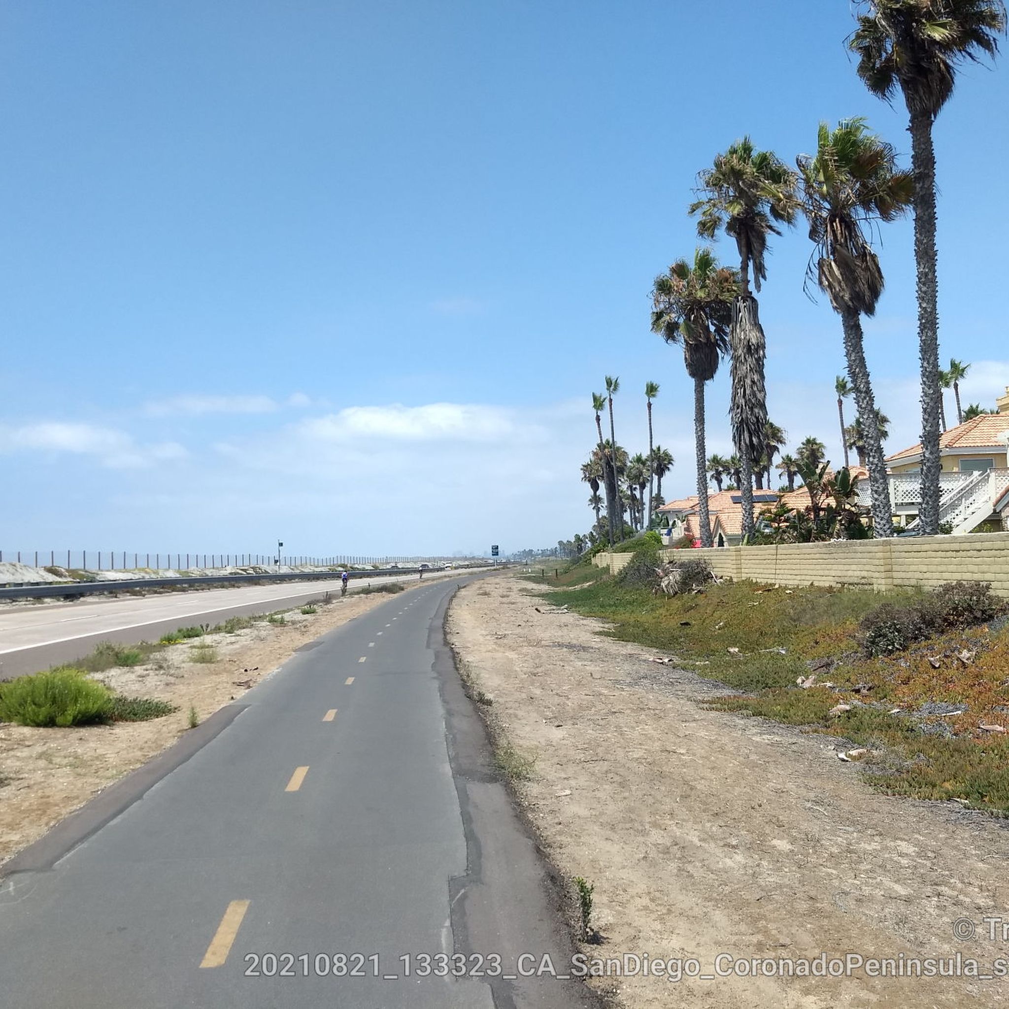
The view from this section of the bikeway is stunning. The vibrant green and blue colors of the water and skyline are breathtaking and worthy of a stop to take some incredible photos.
1
0
Frequently Asked Questions
How many gravel bike trails are available around National City?
There are 6 gravel biking routes around National City listed on komoot, offering a variety of experiences from bayfront paths to inland trails.
Are there gravel biking routes suitable for beginners in National City?
While many routes in the area are considered difficult, there are options for those looking for a moderate challenge. For example, the Otay Valley Regional Park – Sweetwater Bikeway loop from Palomar Street is rated as moderate and offers a good introduction to the region's diverse terrain.
What kind of terrain can I expect on gravel bike trails near National City?
Gravel biking around National City offers a compelling mix of landscapes. You can expect scenic bayfront pathways, rugged inland trails, open grasslands, streamside vegetation, and even chunky rock canyons. The surfaces vary from smooth paths to more challenging unpaved sections, providing a diverse riding experience.
Are there any circular gravel bike routes in the National City area?
Yes, several routes are designed as loops. A notable option is the Bayshore and Sweetwater Bikeway Loop, which combines bayfront views with sections through the Sweetwater area, offering a comprehensive tour of the region's varied landscapes.
What do other gravel bikers enjoy most about riding in National City?
The area's gravel routes are highly rated by the komoot community, with an average score of 3.0 stars. Riders often praise the diverse terrain, from scenic bayfront views to the more rugged inland trails, and the opportunity to explore regional parks and wildlife refuges.
Are there any family-friendly gravel biking options near National City?
While specific 'easy' routes for families are limited among the listed gravel tours, the region's interconnected bikeways, like segments of the Bayshore Bikeway and Sweetwater Bikeway, offer smoother, multi-use paths that can be suitable for families looking for less challenging rides. These paths often provide access to parks and scenic views.
What are some interesting landmarks or natural features to see along the gravel routes?
The routes often pass by significant natural features. You might encounter areas like the San Diego Bay National Wildlife Refuge, offering expansive views and diverse ecosystems. Other highlights include various viewpoints of San Diego Bay and access to parks like Pepper Park, which provides direct waterfront access.
Can I find routes that explore the Sweetwater area?
Absolutely. The Sweetwater area is a prominent feature in many routes. For instance, the Sweet Water River Trail – Sweetwater River Crossing loop from Cockatoo Grove takes you through open grasslands and streamside vegetation characteristic of the Sweetwater region.
Are there any routes that offer views of the bay?
Yes, the region is known for its bayfront access. The Bayshore and Sweetwater Bikeway Loop, for example, includes segments along the San Diego Bay, providing stunning water views and connecting to other communities.
What is the best time of year for gravel biking in National City?
National City's climate generally allows for year-round gravel biking. However, the cooler, drier months from late fall to spring are often preferred to avoid the summer heat, making for more comfortable rides. Always check local weather conditions before heading out.
Are there any longer, more challenging gravel routes for experienced riders?
For experienced riders seeking a challenge, routes like the Chula Vista loop offer a difficult 50.3-mile path exploring varied urban and natural landscapes. Another demanding option is the Otay Mesa – Otay Mountain loop from Palomar Street, which features significant elevation changes over its 71.4-mile distance.
Are dogs allowed on the gravel bike trails in National City?
While specific trail regulations vary, many multi-use paths and regional parks in the National City area are dog-friendly, typically requiring dogs to be on a leash. It's always best to check the specific rules for the park or trail you plan to visit, such as Sweetwater Summit Regional Park or the San Diego National Wildlife Refuge, before bringing your furry companion.
Most popular attractions around National City

Get inspired with the komoot mobile app


Explore more
Browse the best Gravel rides in other regions.
