The best gravel rides in Nacionalni Park Fruska Gora
3.5
(4)
8
riders
3
rides
Gravel biking in Nacionalni Park Fruska Gora offers diverse terrain across an "island mountain" landscape, rising from the Pannonian Plain. The park features a mix of dirt and gravel roads, alongside singletrack and doubletrack trails, suitable for various skill levels. Extensive forests, including lime, oak, and beech woodlands, cover much of the area, providing varied routes with significant elevation changes. Cyclists can explore routes that pass by artificial lakes, vineyards, and historical monasteries, with peaks like Crveni Čot reaching 539…
Last updated: May 20, 2026
1
riders
55.2km
03:50
440m
440m
Moderate gravel ride. Good fitness required. Mostly paved surfaces. Suitable for all skill levels.
3.5
(2)
3
riders
56.2km
03:51
720m
720m
Hard gravel ride. Very good fitness required. Mostly paved surfaces. Suitable for all skill levels.

Sign up for free
3.5
(2)
4
riders
59.0km
03:50
780m
780m
Hard gravel ride. Very good fitness required. Mostly paved surfaces. Suitable for all skill levels.
Our route recommendations are based on thousands of hikes, rides, and runs completed by other people on komoot.
Start today with a free account
Your next adventure awaits.
Login or Signup
Tips from the Community

If you come to this sign GO BACK, every path from it is dead end! The text sais: Site ossuary (mass grave), On this place lays 12.000 soldiers, of Austro-Hungarian and Ottoman Empire, died in Battle of Slankamen 1691. I went to this hill today called SaltRock - Slankamen. And behind it, steeply downwards it is Danube. On this hill was a great battle of Slankamen in 1691 between Austrian Empire and Osman Empire, after which Serbs immediately experienced the harshest persecution ever, and went on biblical Great Migration "Velika Seoba"
0
0

Should the alternative route only be taken in dry conditions? Mountain bikes aren't available, and a fully loaded trekking bike...
0
0

The synagogue is the most monumental sacred building in the city. Along with the former Jewish school building (on the left) and the Jewish Community building (on the right), the Synagogue was constructed in the first decade of the 20th century according to the designs of the Budapest architect Lipót Baumhorn, known for his numerous buildings done in the Secessionist style. Its impressive presence and rich decoration testify to the former power and grandeur of the Jewish community, which had been present in Novi Sad since its beginnings. The first synagogue was erected as early as 1717, as a witness to the fact that Jews were among the first inhabitants of Novi Sad. Before World War II, Novi Sad had a Jewish population of around 4,300. About 800 were killed during the Novi Sad Raid from January 21 to 23, 1942. After the Third Reich occupied Hungary in March 1944, the Nazis began implementing the "Final Solution to the Jewish question” in these areas as well. In April 1944, a ghetto was established in the Synagogue's courtyard, from which almost all of Novi Sad's Jews were deported to Auschwitz on April 27. After the war, only about 300 Jews remained in Novi Sad. Many Jews joined the anti-fascist movement and the People's Liberation Movement (NOP) from the beginning of the occupation and fought in the ranks of the partisans. In 2023, a monument was erected in the Synagogue's courtyard to commemorate the fallen Jewish fighters against fascism. [This site is part of the Liberation Routes cycling tour "The Danube to Victory Route" (58km)] https://www.komoot.com/tour/1933369594?share_token=aRc7kQYJ01cywoOlRPXzWvplRxrDI3K22D17Rs90xCFiVo5TvF&ref=wtd
0
0
Before World War II, Iriški Venac was one of the central points of Fruška Gora, located at the intersection of Grebenski Put (Ridge Road), today called the Partizanski Put, and the road between Irig and Sremska Kamenica. As an important communication center, Iriški Venac was under the armed control of the occupiers throughout the war and was only liberated in October 1944 by the units of the 7th Vojvodina Brigade. The monument known as "Freedom", dedicated to the fallen fighters and the National Liberation Movement (NOP) of Vojvodina, is one of the first more representative monuments erected in the territory of Vojvodina, and it is also among the most impressive monuments erected in the first decade after liberation across the entire territory of Yugoslavia. Even though Iriški Venac was not of major importance for the Fruška Gora partisans, it was chosen for the location of this monument, being the tourist and traffic center of the mountain. It was unveiled on July 7th, 1951, on the 10th anniversary of the Uprising in Serbia, in the presence of around 100,000 citizens. The author of the monument is the renowned sculptor Sreten Stojanović. "Freedom" belongs to the group of figurative-architectural monuments. The monument is built of Belovac stone and paved with Motajnica granite. The total height of the monument is 36 meters, and the figure of a woman - the personification of the ideal of freedom - at the top of the obelisk is 7 meters high. By some accounts, the figure of the woman is oriented towards Bosnia, because that is where most of the partisans from Srem and the entire Vojvodina province went to combat. In front of the obelisk, on a high pedestal, there is a composition made up of six figures, symbolizing the people of Srem and Vojvodina who rose up in revolt. The base of the monument is framed by a bronze relief 50 meters long, which, through several chronological and thematic units, presents the development and course of the People's Liberation Struggle (NOB) in the area of Srem. Among other things, the relief depicts the entry and terror of the occupiers, the beginning of the uprising, the cooperation between the common people and the partisans, armed conflicts with the occupiers, and the final victory. [This site is part of the Liberation Routes cycling tour "The Danube to Victory Route" (58km)] https://www.komoot.com/tour/1933369594?share_token=aRc7kQYJ01cywoOlRPXzWvplRxrDI3K22D17Rs90xCFiVo5TvF&ref=wtd
1
0
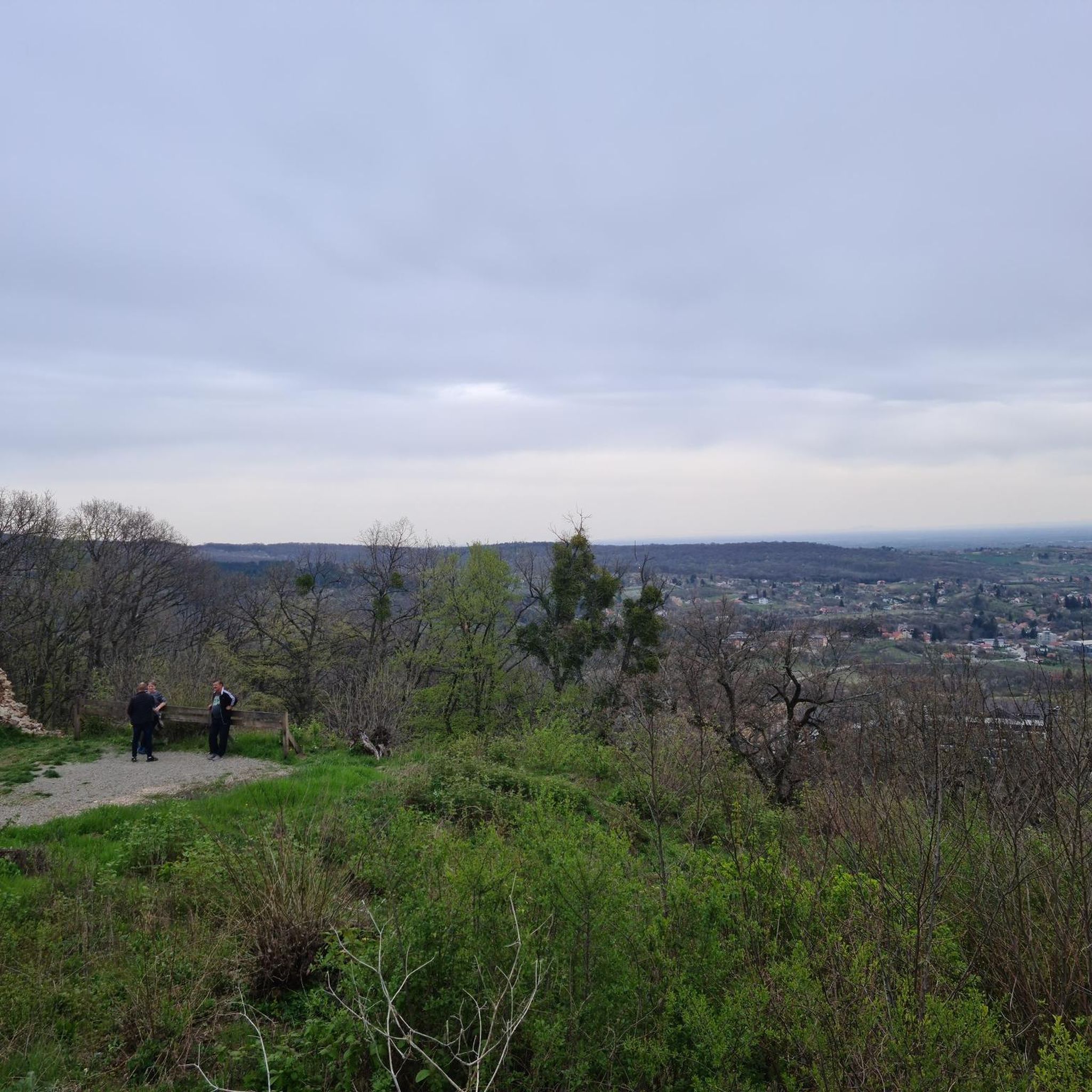
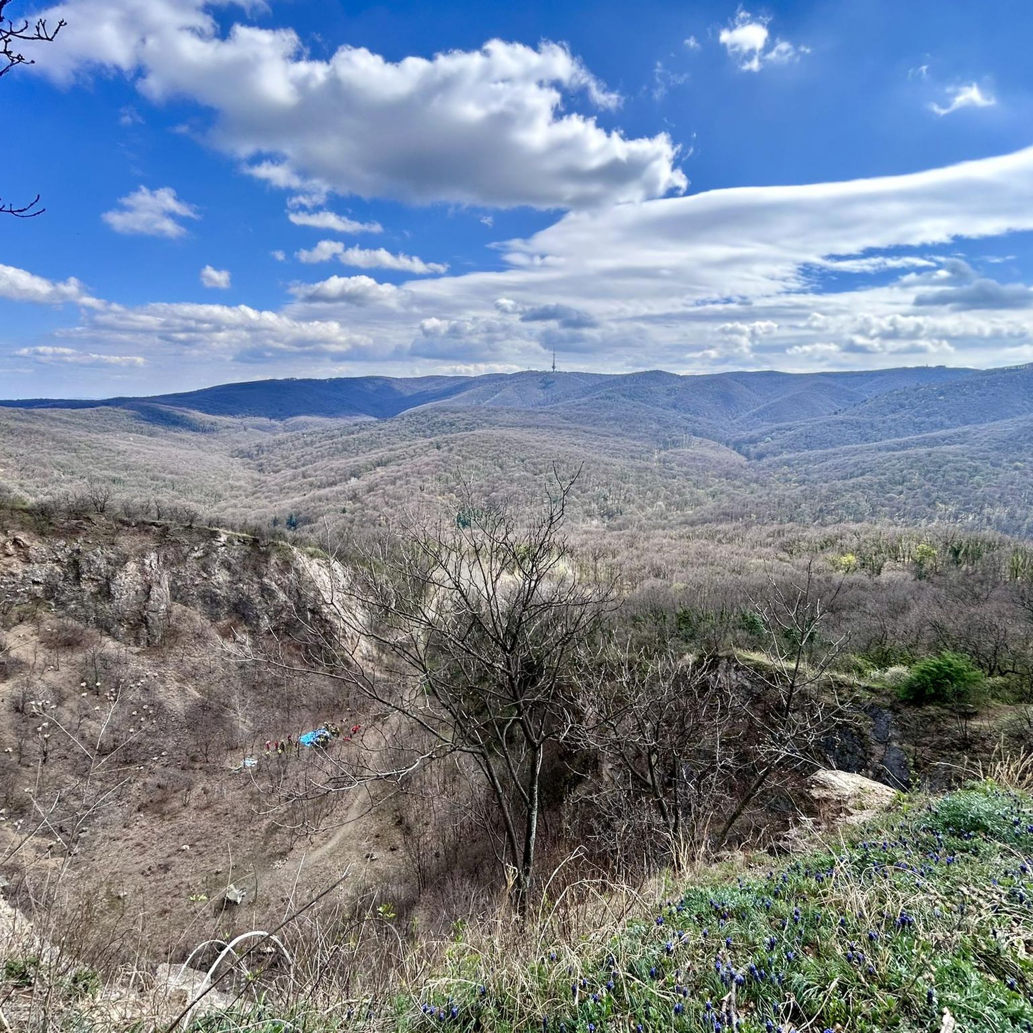
This viewpoint offers a view of the southern slopes of Fruška Gora, with the Vrdnik Tower visible on a nearby hill. The tower is a remnant of a 14th-century fortification destroyed during the Turkish conquests in the 16th century. Although no extensive archaeological research has been conducted, indications suggest that the medieval fortress may have been built on older foundations, possibly dating back to the Roman Emperor Marcus Aurelius Probus (3rd century AD), who was originally from this region. Beyond the foothills of Fruška Gora, the plains of Srem stretch southward for about 30 kilometers to the Sava River, which marked the boundary between the Independent State of Croatia (NDH) and occupied Serbia during World War II. Although the anti-fascist movement had significant support in most villages of Srem, and despite the villages being well connected with alternative route networks, the plain presented challenging terrain. The greatest threats came from larger cities like Ruma and Sremska Mitrovica, as well as key roads and the heavily guarded Belgrade–Zagreb railway, where fascist units, bunkers, and armored trains were stationed. [This site is part of the Liberation Routes cycling tour "Fruška Gora Liberation Circuit"] https://www.komoot.com/de-de/tour/1870928931?share_token=arNOGj2dKOO605JTe2ZpbVW7s7N624smYsy5No7bVl78oCzjv4&ref=wtd
0
0

Good route! It's passable even with a loaded bike. Better than the national road because there's too much traffic.
1
0

Belgrade (White City) with its wonderful archaeological museum and beautiful old town with lively pedestrian zone is the capital of Serbia with 1.4 million inhabitants. You should take more than just two days like we did. It's worth it and the people are very nice.
0
0
Beautiful old town of the Habsburg monarchy and today a lively university town and tourist attraction.
0
0
Frequently Asked Questions
How many gravel bike trails are available in Nacionalni Park Fruška Gora?
Nacionalni Park Fruška Gora offers a diverse network of gravel bike trails. Our guide features 4 routes, ranging from moderate to difficult, providing options for various skill levels.
What kind of terrain can I expect on the gravel bike trails in Fruška Gora?
The terrain in Fruška Gora is quite varied, reflecting its 'island mountain' geology. You'll encounter a mix of dirt and gravel roads, along with singletrack and doubletrack trails. The park is extensively covered by forests, including lime, oak, and beech woodlands, providing engaging routes with significant elevation changes and panoramic viewpoints.
Are there any easy gravel bike routes suitable for beginners in Fruška Gora?
While the park offers routes for various skill levels, the trails in our guide are rated moderate to difficult. For example, the Gravel loop from Dobrilovac is a moderate route with an elevation gain of 391 meters, offering a good challenge without being overly strenuous.
What are some challenging gravel bike trails in Nacionalni Park Fruška Gora?
For those seeking a challenge, the Fruška Gora TV Tower – Iriški Venac TV tower memorial loop from Нови Сад is a difficult path with significant climbing, featuring an elevation gain of 727 meters over 56 kilometers. This route offers expansive views and a rewarding experience for experienced gravel bikers.
What natural features and landmarks can I see along the gravel bike trails?
Fruška Gora is rich in natural beauty and historical sites. You can encounter artificial lakes like Borkovačko, Dobrodol, and Sot, and the serene Dumbovački Waterfall. The park also features numerous panoramic viewpoints such as Orlovo Bojište Viewpoint and Iriški Venac, offering stunning vistas of the surrounding landscape.
Are there any historical or cultural attractions accessible by bike?
Absolutely. Fruška Gora is known as 'Serbian Mount Athos' due to its 17 active Orthodox monasteries, many dating from the 15th to 18th centuries. These historical and spiritual sites are often incorporated into cycling routes, offering cultural enrichment alongside physical activity. You might also pass by monuments like the Monument to Freedom (Spomenik Slobode).
What do other gravel bikers enjoy most about the trails in Nacionalni Park Fruška Gora?
The area is highly rated by the komoot community, with an average score of 3.5 stars from 4 reviews. Reviewers often praise the diverse terrain, extensive forests, and the variety of dirt and gravel roads that cater to different ability levels, as well as the rewarding panoramic viewpoints.
Are there any loop routes available for gravel biking in Fruška Gora?
Yes, several loop routes are available. For instance, the Varadin Bridge – Novi Sad loop from Нови Сад is a 48.6 km trail that leads through forested areas and open landscapes, designed as a circular route for convenient exploration.
What is the best time of year to go gravel biking in Fruška Gora?
Fruška Gora offers enjoyable gravel biking conditions throughout much of the year. Spring and autumn are particularly popular due to milder temperatures and vibrant foliage. The extensive forests provide good shade during warmer summer months, while autumn brings beautiful colors to the woodlands.
Are the gravel bike trails in Fruška Gora suitable for families or dog-friendly?
While the guide's routes are rated moderate to difficult, the park itself offers a wide range of trails. Many areas within Fruška Gora are popular for general outdoor activities, including picnicking and hiking, which can be suitable for families. For specific family-friendly or dog-friendly gravel routes, it's advisable to check local park information centers for trails with less elevation and smoother surfaces.
Are there places to eat or stay near the gravel biking routes in Fruška Gora?
The slopes of Fruška Gora are known for vineyards, offering 'wine trails' where you can combine cycling with local gastronomy and wine tasting. The park also has well-equipped picnic sites like Stražilovo and Zmajevac. For accommodation and more extensive dining options, nearby towns and villages surrounding the national park provide various choices.
Most popular routes in Nacionalni Park Fruska Gora
Most popular attractions in Nacionalni Park Fruska Gora

Get inspired with the komoot mobile app


Explore more
Browse the best Gravel rides in other regions.
