The best waterfall hikes and walks around Jotunheimen
4.6
(3487)
21,184
hikers
4
hikes
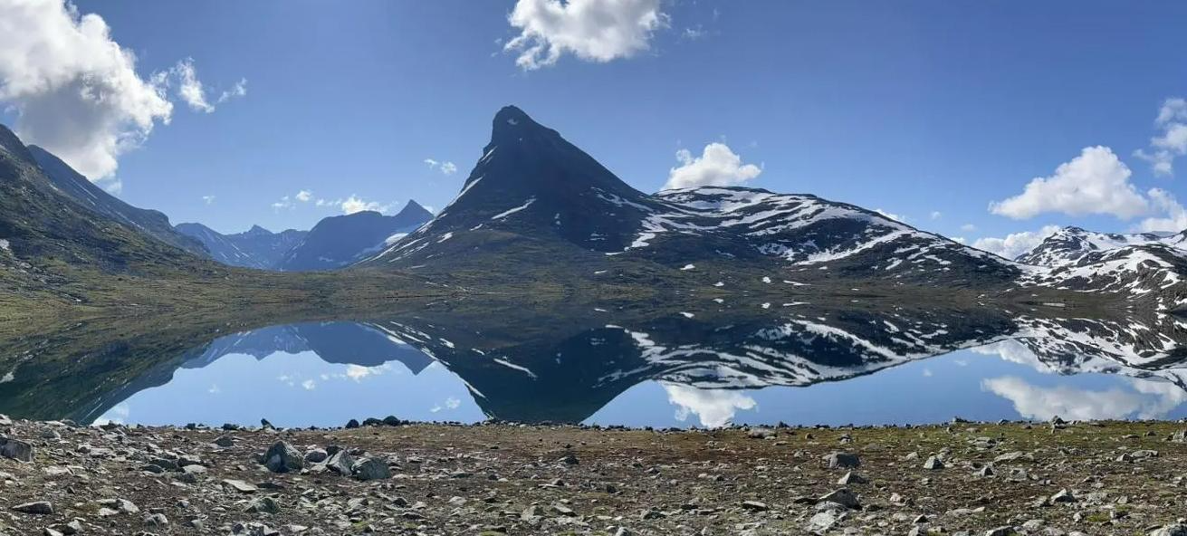
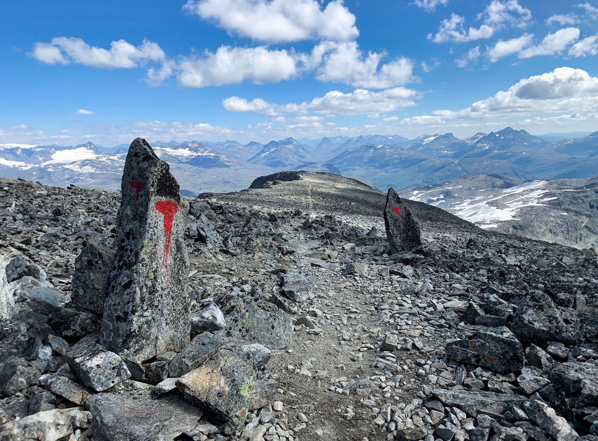
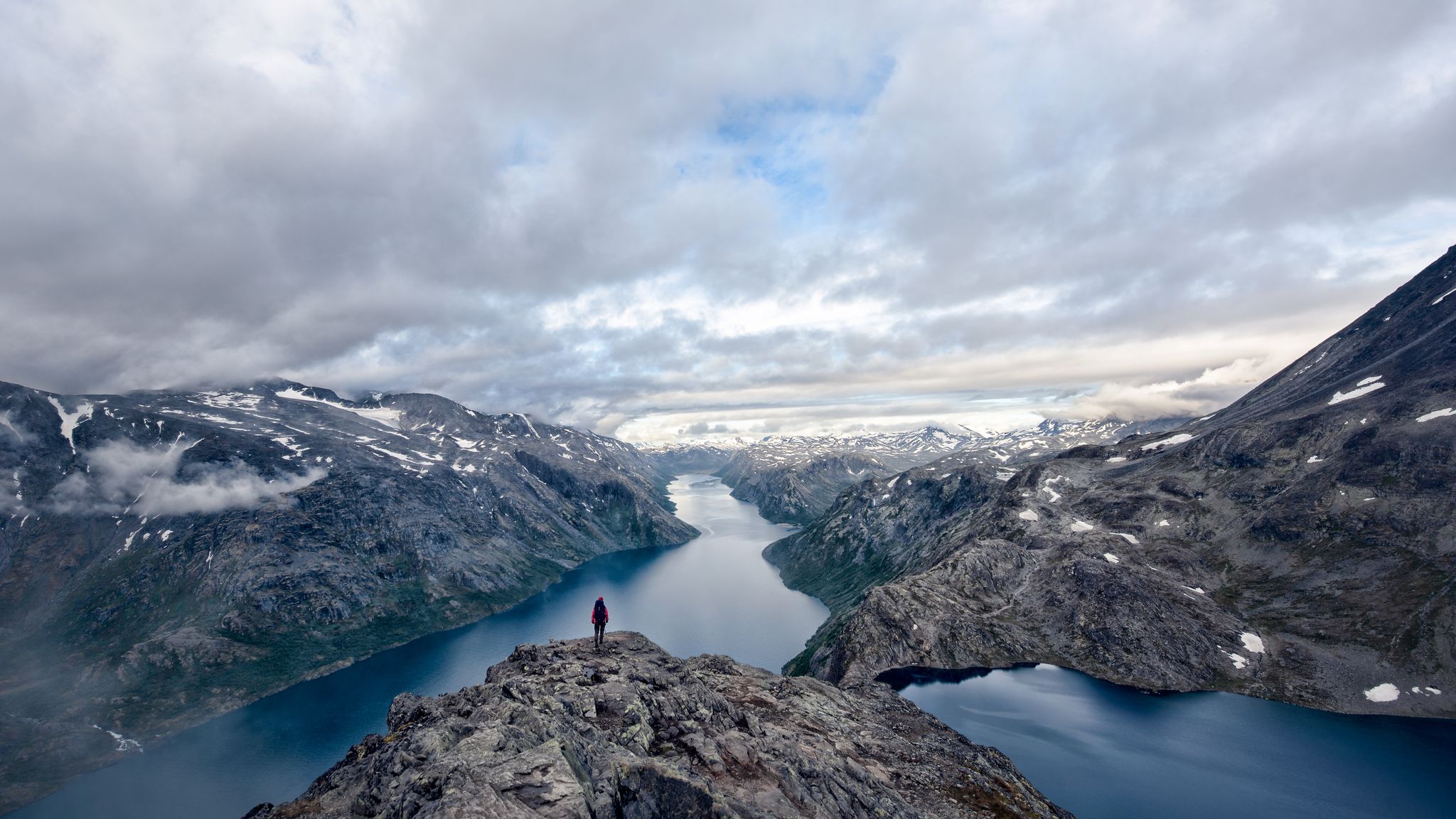
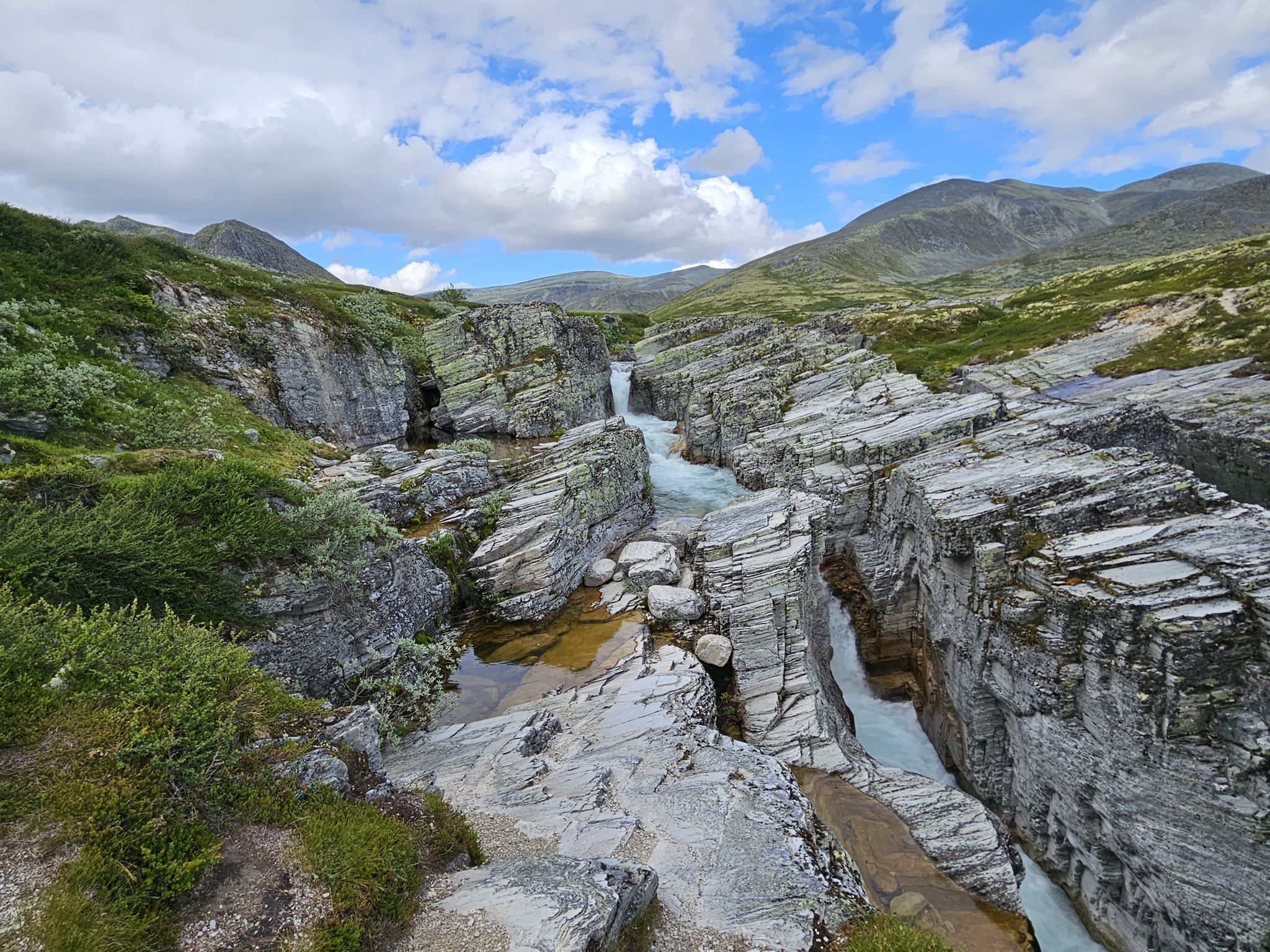
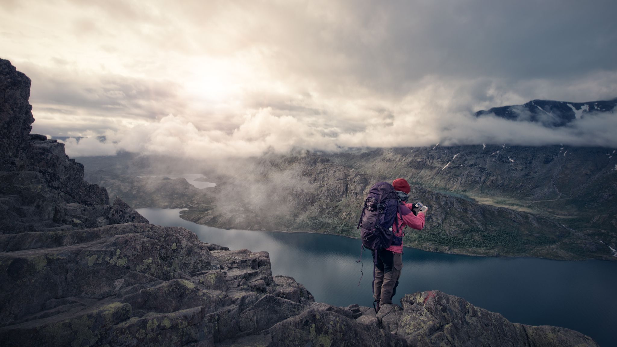
Waterfall hiking trails around Jotunheimen traverse a landscape characterized by dramatic alpine scenery, towering peaks, and deep glacial valleys. The region, known as the "Home of the Giants," features a mix of snow, ice, rocks, and lush vegetation, sculpted by glaciers. Crystal-clear lakes, such as the emerald-green Gjende, and numerous waterways are prominent features. The terrain offers diverse hiking opportunities, from valley strolls to challenging mountain ascents.
Best waterfall hiking trails around Jotunheimen
- The most popular waterfall hiking route is…
Last updated: November 7, 2026
4.9
(20)
76
hikers
10.1km
03:26
490m
490m
Moderate hike. Good fitness required. Mostly walkable paths. Sure-footedness required.
5.0
(2)
4
hikers
18.2km
05:00
280m
280m
Moderate hike. Good fitness required. Mostly walkable paths. Sure-footedness required.

5.0
(3)
20
hikers
10.5km
03:40
560m
560m
Moderate hike. Good fitness required. Easily walkable paths.
4.8
(25)
91
hikers
16.4km
05:18
650m
650m
Hard hike. Very good fitness required. Mostly walkable paths. Sure-footedness required.
5.0
(5)
16
hikers
23.2km
07:18
850m
850m
Hard hike. Very good fitness required. Mostly walkable paths. Sure-footedness required.
Our route recommendations are based on thousands of hikes, rides, and runs completed by other people on komoot.
Start today with a free account
Your next adventure awaits.
Popular around Jotunheimen
Other adventures around Jotunheimen


Tips from the Community


Great waterfall / path which is also good to do with kids. Beautiful forest. Very impressive after heavy rainfall.
0
0

Marshy but passable area. Well-signposted route and signs to learn about local flora and fauna
0
0

Very nice wooden bridge over the river.
1
0


Here you follow the river for a short time. There are also two to three flat shore spots for water tapping.
1
0
This rustic wooden bridge with a wide wooden gate sets the mood for a beautiful circular route right at the beginning of the nature trail. There are flat shore areas on both sides, which invite you to cool off in the river.
0
0

Great waterfall that you can get very close to!
2
0
Frequently Asked Questions
What makes Jotunheimen a good destination for waterfall hikes?
Jotunheimen, known as the 'Home of the Giants,' is characterized by dramatic alpine scenery, towering peaks, and deep glacial valleys. This landscape, sculpted by glaciers, features numerous crystal-clear lakes and waterways, creating an ideal environment for spectacular waterfalls. The region offers a diverse range of hiking opportunities, from moderate valley paths to more demanding ascents, all set against a backdrop of impressive cascades.
Are there any easy waterfall hikes suitable for beginners in Jotunheimen?
While all the routes featured in this guide are rated as moderate, Jotunheimen offers a wide network of trails. For those seeking a less strenuous experience, you might find shorter sections of trails or explore areas with gentler terrain. The region generally caters to various experience levels, so look for trails described as 'valley strolls' or 'easy walks' in other guides for more beginner-friendly options.
What is the best time of year to experience the waterfalls in Jotunheimen?
The best time for hiking and experiencing the waterfalls in Jotunheimen is typically from mid-July to mid-August, when the snowmelt feeds the cascades and the weather is generally most favorable. June and September can also offer pleasant conditions, though some higher-altitude trails might still have snow earlier in the season, and temperatures begin to drop in September.
Are there any circular waterfall hikes in Jotunheimen?
Yes, several circular routes allow you to experience waterfalls. For example, the Gjendebu – Storådalen Valley loop from Gjendebu is a 7.6-mile (12.3 km) trail that offers views of the Storådalen Valley and its cascades. Another option is the Vetti Tourist Station – Vettisfossen viewpoint loop from Vetti, a 3.9-mile (6.2 km) path leading to a viewpoint overlooking the impressive Vettisfossen.
What kind of natural attractions can I see along waterfall hiking trails in Jotunheimen?
Beyond the waterfalls themselves, Jotunheimen's trails often lead through stunning glacial valleys and offer views of towering peaks. You might encounter deep valleys like the Storådalen Valley or the Memurudalen Valley. The region is also home to Norway's highest mountains, such as Galdhøpiggen and Glittertinden, which can often be seen from various viewpoints along the trails.
What do other hikers say about the waterfall trails in Jotunheimen?
The hiking routes in Jotunheimen are highly regarded by the komoot community, with an impressive average score of 4.6 stars from over 1400 reviews. Hikers frequently praise the dramatic scenery, the well-maintained trails, and the rewarding views of the region's majestic peaks and powerful waterfalls.
Are there any specific waterfalls that are particularly notable in Jotunheimen?
Yes, one of the most notable is Vettisfossen, which you can reach via the Vetti Tourist Station – Vettisfossen viewpoint loop from Vetti. It's one of Norway's highest unregulated waterfalls, offering a truly spectacular sight. Another impressive cascade is Stuttgongfossen, visible on the Stuttgongfossen – Stuttgonstien loop from Hindsæter.
Can I find accommodation or places to eat near the waterfall trails?
Jotunheimen has a well-developed hut system with mountain lodges offering places to rest and enjoy traditional Norwegian meals. Towns and villages surrounding the national park, such as Lom and Beitostølen, also provide various accommodation options and eateries. It's advisable to check specific locations and book in advance, especially during peak season.
What should I wear for waterfall hiking in Jotunheimen?
Given the varied terrain and often unpredictable weather in Jotunheimen, it's essential to dress in layers. Waterproof and windproof outer layers are highly recommended, along with sturdy hiking boots with good ankle support. Even in summer, temperatures can drop, especially at higher elevations, so bring warm clothing. Don't forget a hat, gloves, and sun protection.
Are there any less crowded waterfall trails in Jotunheimen?
While popular spots like the Besseggen Ridge can get busy, many other trails offer a more tranquil experience. Exploring routes slightly off the main tourist paths or visiting during the shoulder seasons (June or September) can help you find quieter waterfall experiences. The extensive network of trails means there are always opportunities to discover less frequented areas.
How many waterfall hiking trails are available in this guide for Jotunheimen?
This guide features 6 distinct waterfall hiking trails around Jotunheimen, all rated as moderate difficulty. These routes offer a variety of distances and durations, allowing you to choose an adventure that suits your preferences.
Is public transport available to reach waterfall hiking trailheads in Jotunheimen?
Public transport options exist to various points in and around Jotunheimen, including bus services that connect to popular trailheads and mountain lodges. Additionally, ferries across lakes like Gjende can connect different sections of trails, facilitating point-to-point hikes. It's recommended to check local transport schedules and routes in advance, as services can be less frequent outside of peak season.
Most popular routes around Jotunheimen
Most popular attractions around Jotunheimen

Get inspired with the komoot mobile app


Explore more
Browse the best Hikes in other regions.
