The best walks and hikes around Lough Mourne
5.0
(1)
27
hikers
5
hikes
Hiking around Lough Mourne features a mix of riverside paths, woodland trails, and routes through more open, hilly terrain. The area includes diverse landscapes such as the River Finn and Drumboe Woods. Hikers can find paths ranging from gentle loops to more challenging ascents, providing varied experiences across the region.
Best hiking trails around Lough Mourne
- The most popular hiking route is Croaghonagh out and back, a 6.7 miles (10.8 km) trail that takes 3 hours 9 minutes to…
Last updated: August 11, 2026
7
hikers
10.8km
03:10
300m
300m
Moderate hike. Good fitness required. Easily-accessible paths. Suitable for all skill levels.
30.1km
08:13
460m
460m
Hard hike. Very good fitness required. Easily-accessible paths. Suitable for all skill levels.

Sign up for free
5.0
(1)
10
hikers
3.18km
00:49
10m
10m
Easy hike. Great for any fitness level. Easily-accessible paths. Suitable for all skill levels.
4
hikers
6.06km
01:36
50m
50m
Easy hike. Great for any fitness level. Easily-accessible paths. Suitable for all skill levels.
6
hikers
4.06km
01:03
20m
20m
Easy hike. Great for any fitness level. Easily-accessible paths. Suitable for all skill levels.
Our route recommendations are based on thousands of hikes, rides, and runs completed by other people on komoot.
Start today with a free account
Your next adventure awaits.
Login or Signup
Popular around Lough Mourne


Tips from the Community

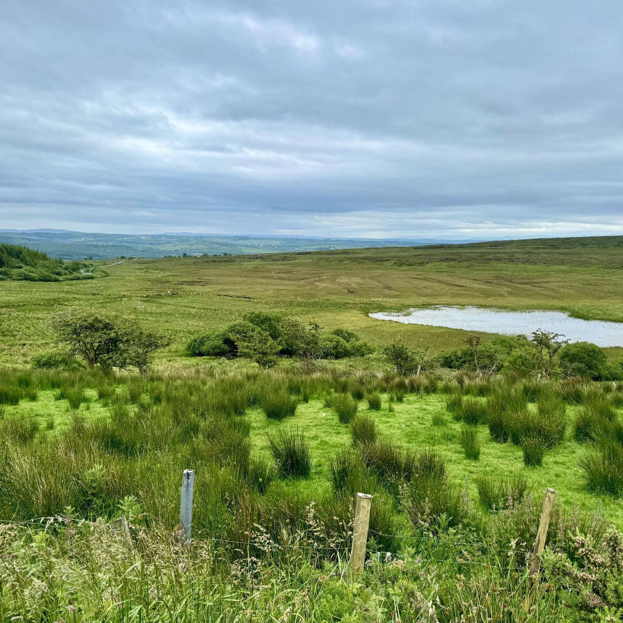
A clear track ascends to Croaghonagh, one of the principal peaks above the Barnesmore Gap. Expect vast views across beautiful Donegal. You can spot distant Errigal on a clear day, a fine sight.
0
0
A legendary peak dominates the distant skyline of the ascent of Croaghonagh. The unmistakable shape of Errigal entices the eye, a clarion call for eager hillwalkers and scramblers. Errigal is Donegal's most famous mountain, a great pyramid of quartzite that dominates the scenery for many miles around.
0
0
Rising to an elevation of 1,480 feet (451 m) above the Barnesmore Gap, Croaghonagh is a worthy objective, despite the infrastructure on its summit. The peak that glares back across at Croaghonagh from the other side of the road is the slightly higher Croaghconnellagh. Amazing to think that just around 13,000 years ago, a great glacier would have occupied the valley below.
0
0

Drumboe Woods is managed mixed leaf woodland on the north side of the River Finn. There are several waymarked walking trails here, with details of the routes on the noticeboard at the start.
0
0
A useful footbridge over the Riber Finn, linking Ballybofey with the riverside trails and Drumboe woodland trails.
0
0

Be sure to use the Riverside Walk on both sides, definitely the most beautiful part of the loop!
0
0

A short hike from the car park and picnic site at Barnesmore Gap will bring you to a great view of Barnes Lough. Particular lovely on a clear day when the view really opens up.
0
0
A well maintained forestry path snakes its way through sweeping countryside views. You can follow signs for the salmon leap along here. Keep an eye out for the black markers with yellow arrows.
0
0
Frequently Asked Questions
How many hiking trails are available around Lough Mourne?
Komoot lists 5 hiking trails around Lough Mourne. These routes offer a variety of experiences, from gentle riverside strolls to more challenging mountain ascents within the broader Mourne Mountains region.
What are the difficulty levels of hikes in the Lough Mourne area?
The trails around Lough Mourne cater to various fitness levels. You'll find 3 easy routes, 1 moderate route, and 1 difficult route. For instance, the River Finn riverside loop from Ballybofey is an easy option, while the Salmon Leap from Barnesmore Gap presents a more difficult challenge.
Are there any family-friendly hiking options near Lough Mourne?
Yes, several trails are suitable for families. Easy routes like the River Finn Footbridge – Drumboe Woods loop from MacCumhaill Park or the Drumboe Woods – River Finn Footbridge loop from MacCumhaill Park offer pleasant, shorter walks with minimal elevation gain, perfect for an outing with children.
Can I bring my dog on the trails around Lough Mourne?
Many trails in the Mourne Mountains region are dog-friendly, but it's always best to keep dogs on a lead, especially in areas with livestock or ground-nesting birds. Always check local signage for specific restrictions on individual routes or protected areas.
Are there any circular routes available for hiking?
Yes, there are several circular routes. For example, the River Finn riverside loop from Ballybofey, the River Finn Footbridge – Drumboe Woods loop from MacCumhaill Park, and the Drumboe Woods – River Finn Footbridge loop from MacCumhaill Park are all excellent loop options.
What kind of natural features or landmarks can I expect to see while hiking?
While hiking around Lough Mourne, you'll experience the stunning landscapes of the broader Mourne Mountains. Expect dramatic mountainous terrain, including peaks like Slieve Donard and Slieve Binnian, and the iconic 22-mile Mourne Wall. The region also features beautiful loughs, such as the famous Blue Lough, and various rivers, offering picturesque views and a rich natural environment.
What is the best time of year to go hiking in the Lough Mourne region?
Spring and autumn generally offer the most pleasant hiking conditions with milder temperatures and fewer crowds. Summer can be beautiful but also busier. Winter hikes are possible for experienced trekkers, but weather conditions can be challenging, requiring appropriate gear and caution.
Where can I find parking for hikes around Lough Mourne?
Parking availability varies by trailhead. For routes accessing the Mourne Mountains, popular starting points like Carrick Little car park (for Blue Lough) are common. For routes closer to towns, such as those near Ballybofey, parking may be available in designated areas or town car parks. Always check specific route details for recommended parking locations.
Are there any longer, more challenging hikes for experienced trekkers?
Absolutely. The region, particularly the Mourne Mountains, is renowned for its challenging ascents. The Salmon Leap from Barnesmore Gap is a difficult, longer route at over 30 km. For even more strenuous options, consider tackling peaks like Slieve Donard or Slieve Binnian, which offer significant elevation gain and breathtaking panoramic views.
What do other hikers enjoy the most about hiking in Lough Mourne?
The komoot community has rated the trails around Lough Mourne highly, with an average score of 5.0 stars. Hikers often praise the diverse landscapes, from tranquil riverside paths to the dramatic mountain scenery of the Mournes, and the opportunity to explore unique natural features like the Blue Lough.
Are there any trails that feature waterfalls or significant water bodies?
Yes, the broader Mourne Mountains region is known for its natural water features. While specific waterfalls aren't detailed for every route, many hikes follow rivers or lead to loughs. The hike to the Blue Lough, for instance, is a popular choice, offering stunning views of the lough itself and easy river crossings.
How long do hikes typically take in this area?
Hike durations vary significantly based on the route's length and difficulty. Shorter, easy loops like the Drumboe Woods – River Finn Footbridge loop from MacCumhaill Park can be completed in just over an hour. Moderate trails like Croaghonagh out and back take around 3 hours, while the most difficult routes, such as the Salmon Leap from Barnesmore Gap, can take over 8 hours.
Most popular routes around Lough Mourne

Get inspired with the komoot mobile app


