Top 20 Caves in the Verwaltungsregion Oberland
Best caves in the Verwaltungsregion Oberland are situated within a diverse Swiss region characterized by its Alpine landscapes, deep valleys, and significant natural formations. Located in the Bernese Oberland, this area features prominent lakes and mountainous terrain. The region offers a range of geological wonders and historical sites, providing unique subterranean experiences.
Best caves in the Verwaltungsregion Oberland
- The most popular caves is St. Beatus Caves, a cave system that features huge stalactite and stalagmite formations, vast halls, and…
Last updated: August 11, 2026
St. Beatus Caves
Highlight • Cave
Translated by Google •
Tip by

Waterfall in front of the Beatus Caves
Highlight • Waterfall
Translated by Google •
Tip by

Sign up now to discover places like this
Get recommendations on the best single tracks, peaks, & plenty of other exciting outdoor places.
Sign up for free
Glütschbachtal Stream and Grottos
Highlight • River
Translated by Google •
Tip by
Schafloch East Entrance
Highlight • Cave
Translated by Google •
Tip by
Schafloch — West Entrance
Highlight • Cave
Translated by Google •
Tip by

Glütschbachtäli Stalactite Caves
Highlight (Segment) • Cave
Translated by Google •
Tip by

Titlis Glacier Cave
Highlight • Cave
It feels like you are traveling back in time: in the turquoise-blue twilight of the glacier grotto, where the ice, which is up to 5000 years old, …
Translated by Google •
Tip by

Trümmelbach Falls
Highlight • Waterfall
Translated by Google •
Tip by

Glütschbachtäli Forest Trail and Caves
Highlight • Trail
Translated by Google •
Tip by

Zwergliloch Cave
Highlight • Cave
Translated by Google •
Tip by
Sign up for free to discover even more caves in the Verwaltungsregion Oberland.
Sign up for free
Already have an account?
Start today with a free account
Your next adventure awaits.
Login or Signup
Popular around Verwaltungsregion Oberland
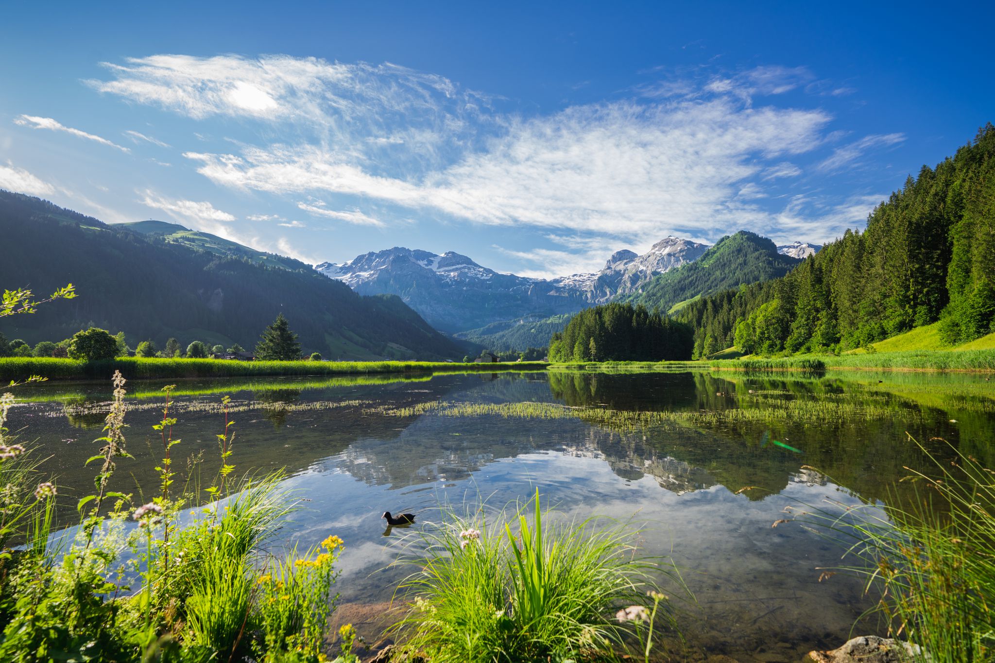
Alpine flowers and lunar craters – hiking in the Bernese Oberland
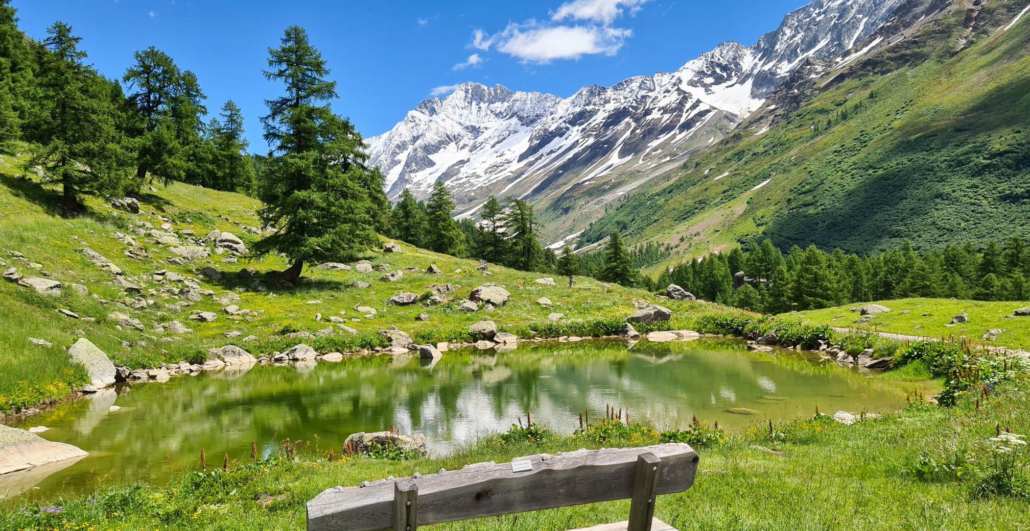
Lötschberg Panorama Trail – 4 days of alpine views in Switzerland
Aare Route – Everything Switzerland has to offer
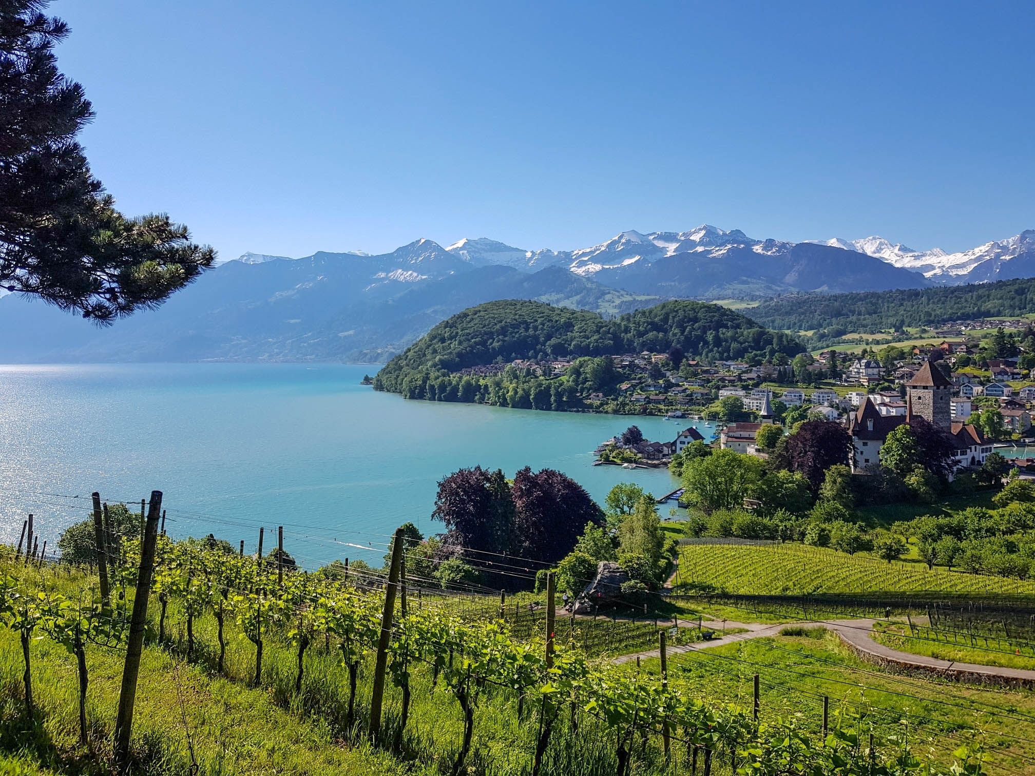
Panoramic circular trail around Switzerland's Lake Thun – Lake views at every turn

Hope 1000 – Bikepacking Switzerland in 11 stages
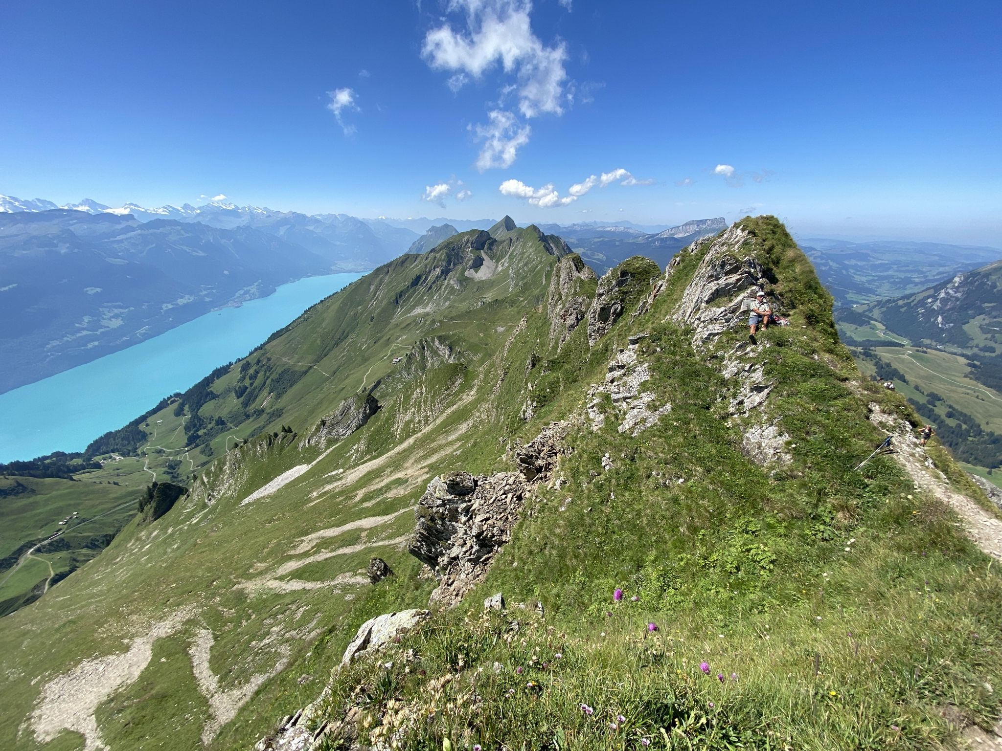
Napfbergland Border Trail – Hike between Bern and Lucerne
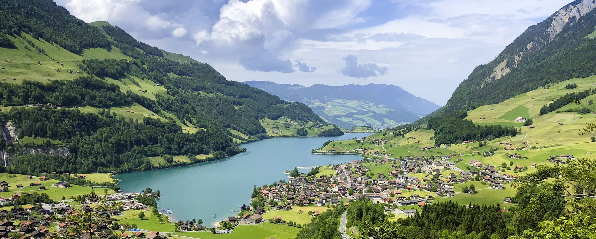
The Lakes Route – Picture-postcard views in the Swiss alpine foothills
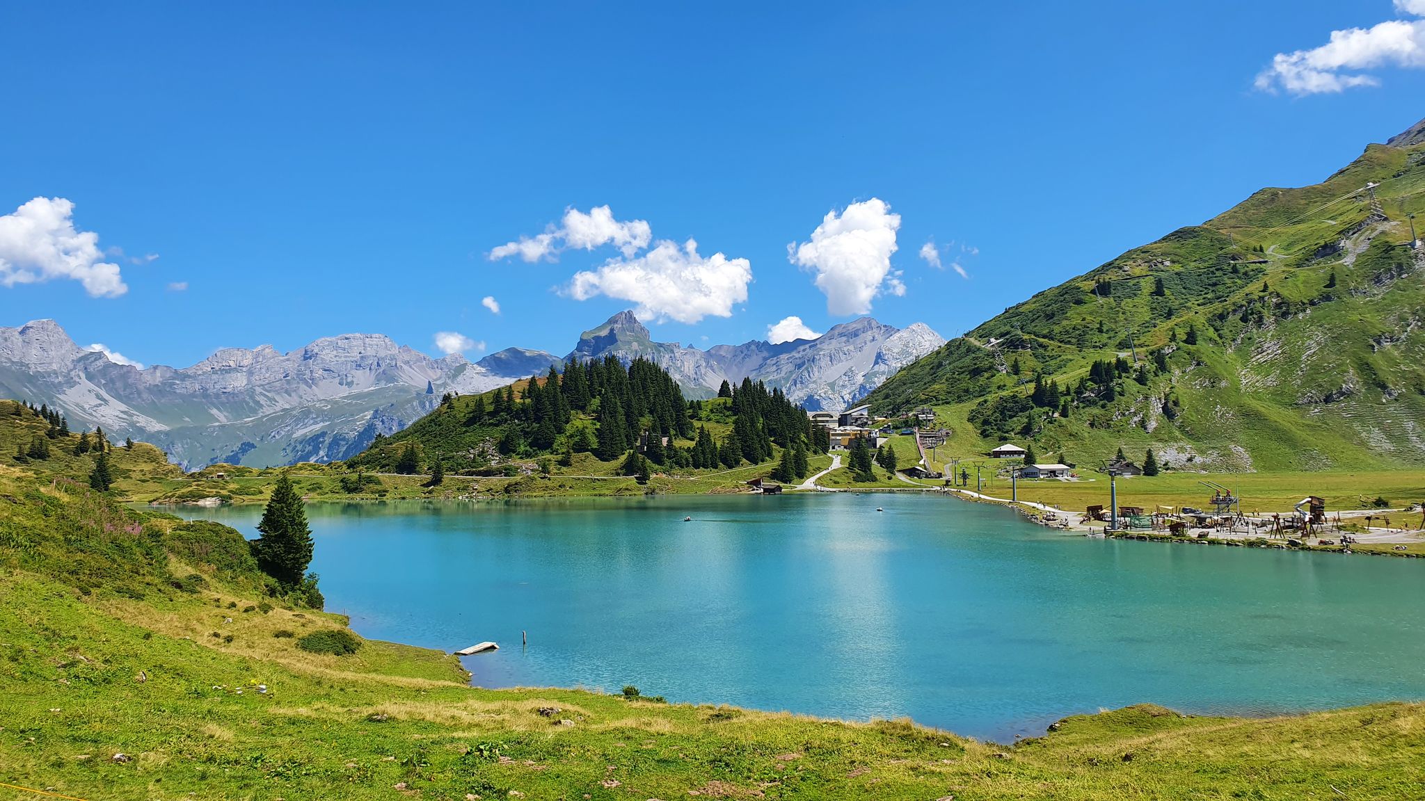
Via Alpina – The 15 stages of the Green Route
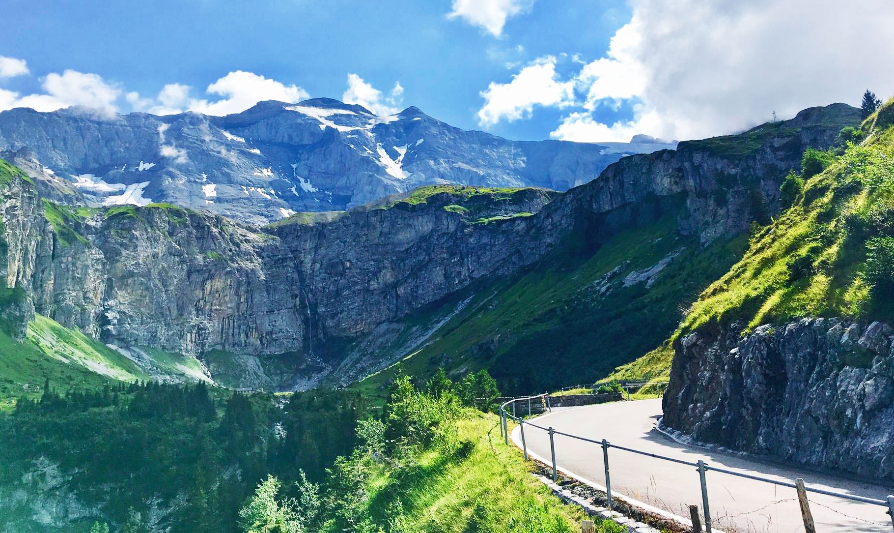
Alpine Panorama Route — 8 stages through the foothills of the Alps
The Herzroute – Cycling through the heart of Switzerland
Other adventures in the Verwaltungsregion Oberland


Tips from the Community


The hiking trail to the Sigriswiler Rothorn comes close to the tunnel entrance. However, the trail turns left 50 meters before that.
8
0

Tucked inside the cliffs of the Lauterbrunnen Valley, the Trümmelbach Falls are unlike any other waterfall in Switzerland—or the world. These are Europe’s largest underground waterfalls, and they roar with the meltwater of the Eiger, Mönch, and Jungfrau glaciers.
1
1

Loud, powerful, impressive, and wet. Please wear sturdy shoes.
2
0

The eastern entrance to the Schafloch is located directly on the ridge path between the Sigriswiler Rothorn and the Fluhhorn. Unlike the more hidden western entrance, the access here is much easier to spot and easily accessible 🪨👣. ⚠️. The tunnel itself is around 20 meters long, slightly curved, and cannot be traversed without light – a headlamp is recommended 🔦! Special feature: At the eastern exit, a spectacular view of the Justistal and the Bernese Alps awaits you ⛰️👀 – ideal for a short break or a panoramic photo 📸.
0
0
The western entrance to the Schafloch is located slightly below the ridge and is easy to miss 👀 – pay attention to the trail markings! The entrance is via a short, steep path that can be slippery when wet ⚠️🥾. From here, the natural rock tunnel leads about 20m through the mountain – a fascinating experience 🪨⛰️. View: Right at the western portal, there is a magnificent view of Lake Thun and the Mittelland 🌄🌊 – be sure to pause for a moment and enjoy! Equipment: Sturdy hiking boots 🥾, possibly poles 🦯. A headlamp 🔦 is useful, as it is quite dark inside the tunnel. A cell phone 📱light will not suffice 😉. Safety: Not suitable in heavy rain or snow – the tunnel floor can become slippery. Recommended only for sure-footed hikers with a head for heights ⚠️. Special feature: The tunnel was formed by geological processes and is a rare natural phenomenon in Switzerland. It is one of the highlights of the Sigriswil ridge hike 🏞️.
1
0

A headlamp must be taken with you in any case.
0
1

Great post! The description of the eastern entrance to Schafloch really drew me in. After reading, I might relax with a quick game of [url=https://geometry-dash.me/]geometry dash[/url]. Thanks for sharing!
0
1
Frequently Asked Questions
What are the most popular caves in the Verwaltungsregion Oberland?
Among the most popular caves in the region are the St. Beatus Caves, known for their extensive accessible system with stalactites, stalagmites, and underground waterfalls. Another highly regarded site is the Schafloch East Entrance, a natural ice cave with historical military significance, and the Titlis Glacier Cave, offering a unique experience within ancient ice.
Are there family-friendly caves in the Verwaltungsregion Oberland?
Yes, several caves are suitable for families. The St. Beatus Caves offer an illuminated path and a museum, making them engaging for all ages. The Titlis Glacier Cave provides a fascinating experience with ancient ice. Additionally, the Glütschbachtäli Stalactite Caves are located in a picturesque valley with picnic areas, ideal for a family outing.
What kind of natural formations can I expect to see in these caves?
The caves in the Verwaltungsregion Oberland showcase diverse natural formations. In the St. Beatus Caves, you'll marvel at huge stalactite and stalagmite formations, vast halls, and underground waterfalls. The Titlis Glacier Cave offers a unique opportunity to experience 5000-year-old glacial ice. The Glütschbachtäli Stalactite Caves feature smaller, intricate stalactite formations within a serene forest setting.
Do any caves in the region have historical significance?
Yes, some caves in the region are rich in history. The St. Beatus Caves are steeped in medieval legend, said to be the dwelling of a dragon vanquished by Saint Beatus. The Schafloch East Entrance, originally a natural ice grotto, was historically expanded and used as a connection and logistics tunnel during active duty, making it a site of military heritage. There's also a World War II underground cavern in the Aare Gorge, offering insight into wartime adaptations.
What outdoor activities can I do near the caves?
The Verwaltungsregion Oberland offers a wide range of outdoor activities near its caves. You can find numerous hiking trails, such as those detailed in the Hiking in the Verwaltungsregion Oberland guide, including routes like the Schynige Platte Panorama Trail. For cyclists, there are scenic road cycling routes, like those found in the Road Cycling Routes in the Verwaltungsregion Oberland guide, and touring bicycle options, such as the Lake Thun circular route, available in the Cycling in the Verwaltungsregion Oberland guide.
Are there easy-to-visit caves suitable for beginners?
For those seeking an easier experience, the St. Beatus Caves offer a well-maintained, illuminated path that is accessible for most visitors. The hike to the Glütschbachtäli Stalactite Caves is also considered light to moderate, making it suitable for beginners and families.
What is the temperature like inside the caves?
Cave temperatures can vary significantly. The St. Beatus Caves maintain a constant temperature of 8 to 10 degrees Celsius year-round. For glacier caves like the Titlis Glacier Cave, the air is much colder, often freezing, so warm clothing is essential.
What should I wear when visiting caves in the Verwaltungsregion Oberland?
Given the cool and often damp conditions inside caves, it's advisable to wear warm layers, even in summer. Sturdy, non-slip footwear is recommended for walking on potentially wet or uneven surfaces. For caves like the Schafloch East Entrance, which are unlit, a headlamp or flashlight is essential.
Are there viewpoints or natural features near the caves?
Many caves in the region are surrounded by stunning natural beauty. The path to the St. Beatus Caves offers breathtaking views of Lake Thun and passes several bridges over a thundering waterfall. The Glütschbachtal Stream and Grottos are situated in a picturesque, secluded valley with a shady forest and a meandering stream, perfect for relaxation.
Where can I park when visiting the St. Beatus Caves?
There is a dedicated parking lot for visitors to the St. Beatus Caves. The St. Beatus Caves Parking Lot is conveniently located near the entrance, offering accessibility for visitors.
What do visitors enjoy most about the Glütschbachtal Stream and Grottos?
Visitors particularly enjoy the picturesque and secluded nature of the Glütschbachtal Stream and Grottos. The footpath along the Glütschbach offers romantic moments, and there's an extensive picnic area with tables and fire pits, making it very popular with families. The gentle flow of the creek also allows children to play safely.
Is it possible to explore the Schafloch cave system completely?
The Schafloch East Entrance and Schafloch — West Entrance are part of an approximately 1000-meter long walkable, publicly accessible tunnel that crosses under the Sigriswilgrat. While it's possible to traverse, it is pitch dark inside and requires a lamp. The cave maintains a humid climate and was historically expanded as a logistics tunnel.
Most popular routes in the Verwaltungsregion Oberland
Most popular attractions in the Verwaltungsregion Oberland

Get inspired with the komoot mobile app


Didn’t find what you were looking for?
Discover more caves in the Verwaltungsregion Oberland region by region:
Explore more
Extend your search for the best caves by checking out these guides of the top ones in the Verwaltungsregion Oberland:
