The best gravel rides in Uvas Canyon County Park
5.0
(1)
17
riders
3
rides
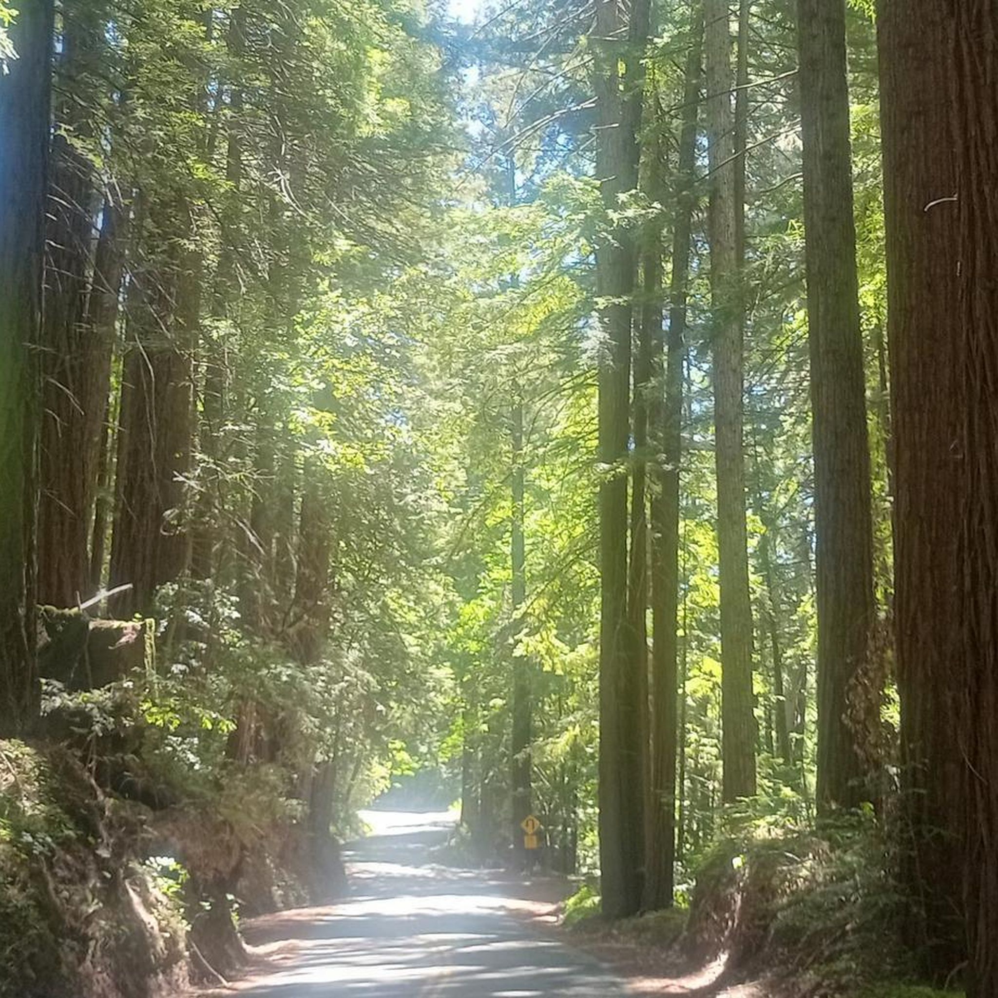
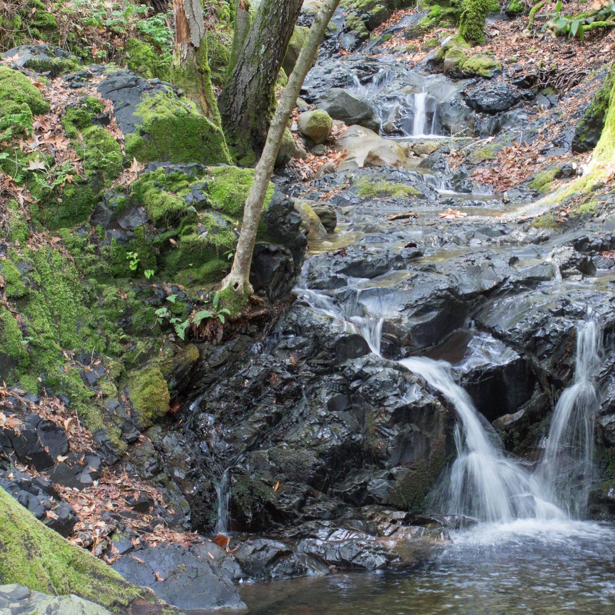
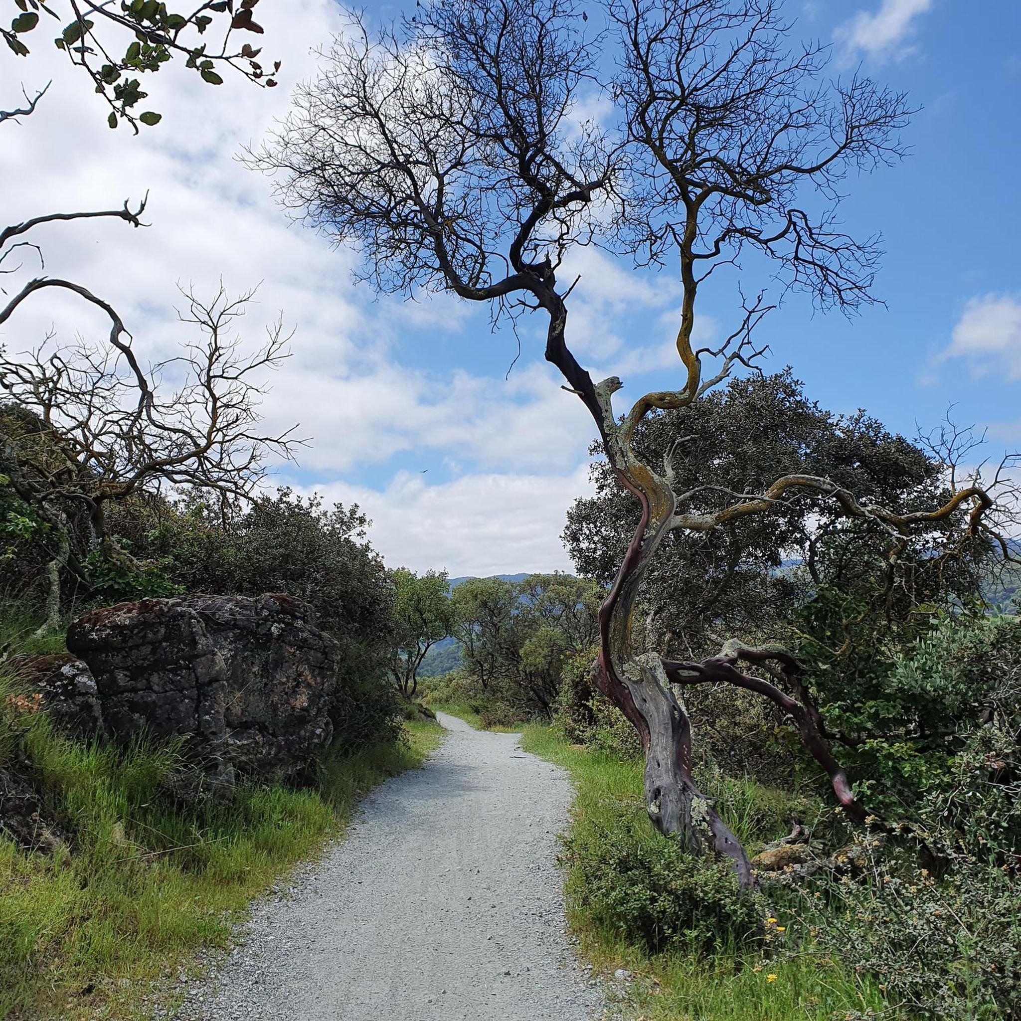
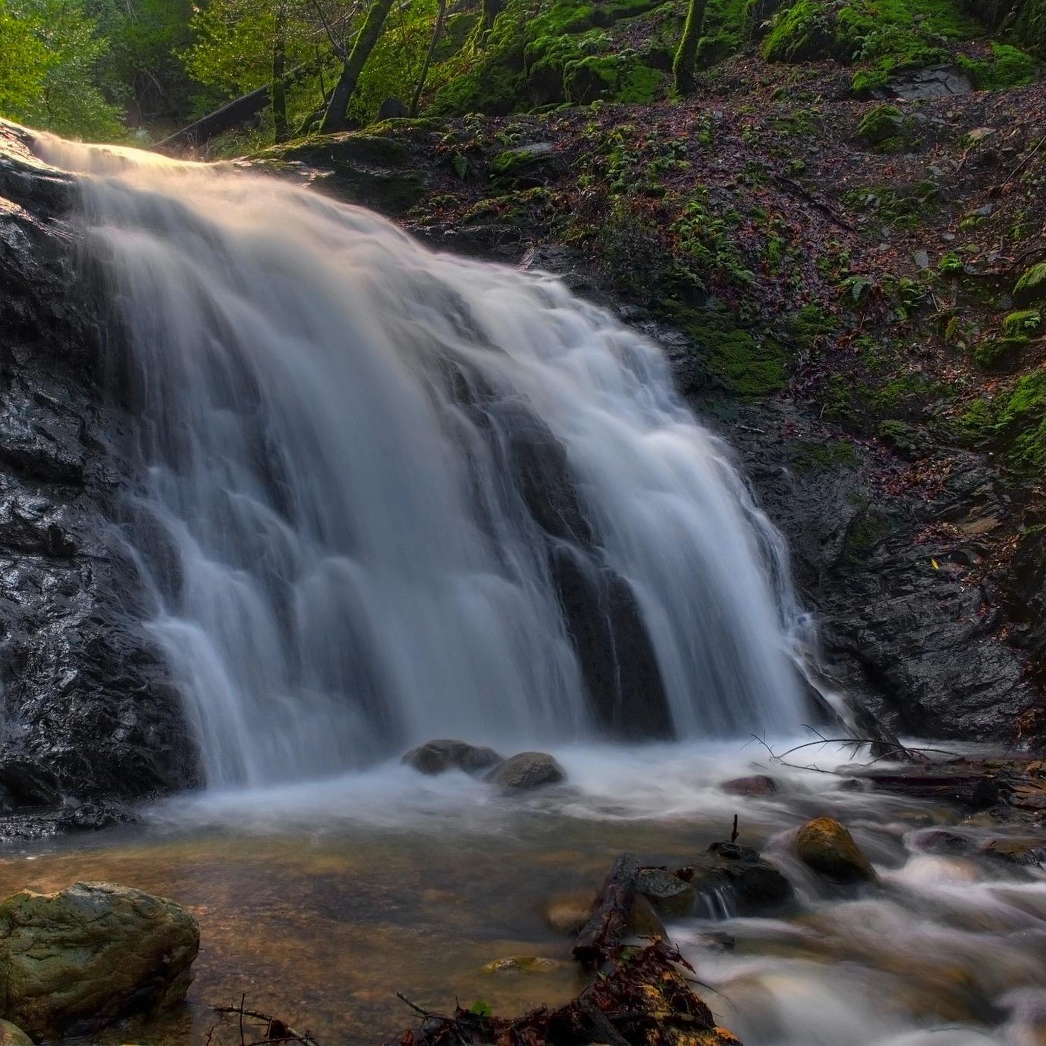
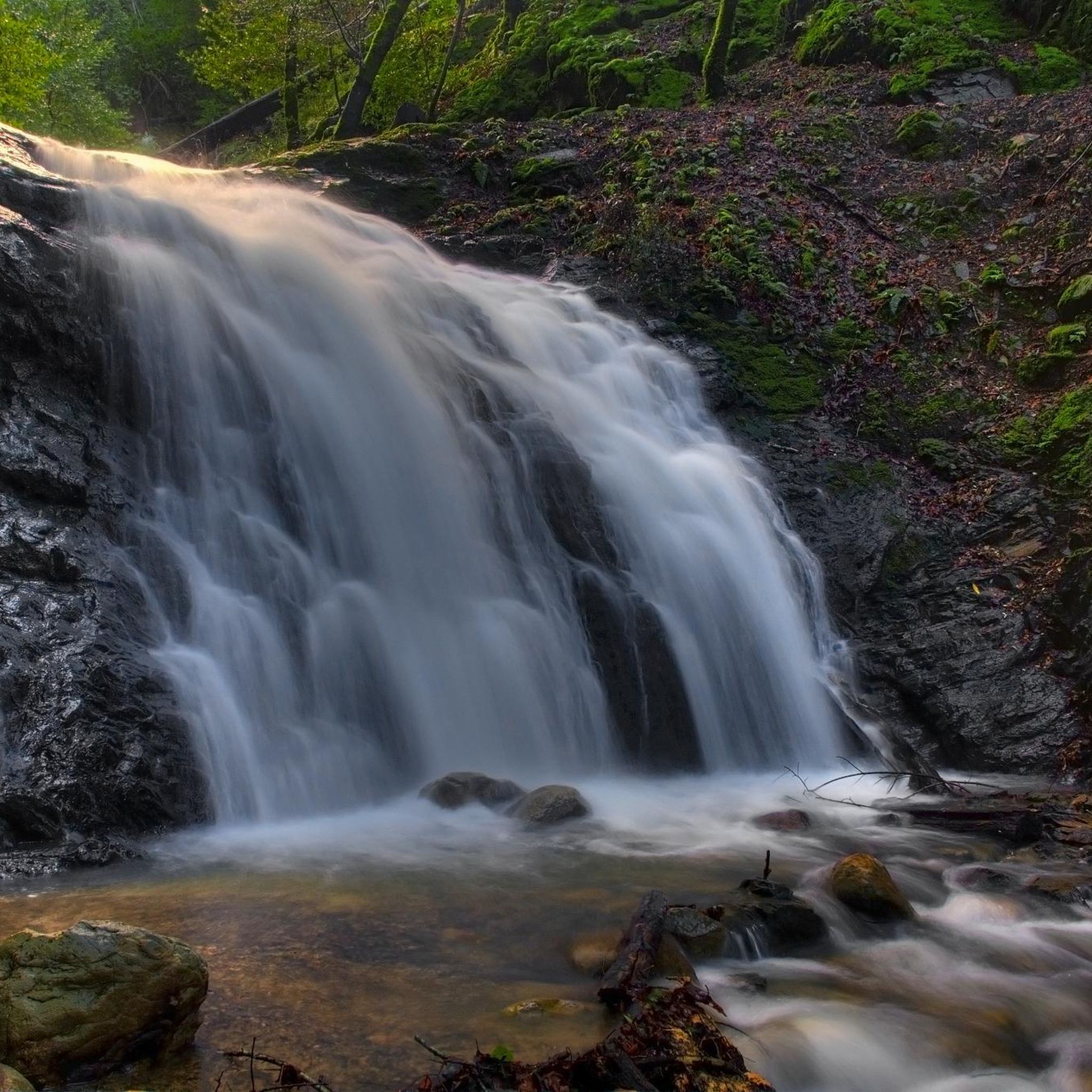
Gravel biking in Uvas Canyon County Park is characterized by routes that navigate the eastern slopes of the Santa Cruz Mountains. The region features a heavily forested environment with diverse tree species such as tanbark oak, coast redwood, and Douglas fir. Creeks like Swanson, Alec, and Uvas flow year-round, contributing to a moist landscape. While the park is known for its waterfalls and hiking trails, the gravel routes often utilize fire roads and other paths in the broader area, offering…
Last updated: May 17, 2026
5.0
(1)
16
riders
57.4km
06:24
1,350m
1,350m
Hard gravel ride. Very good fitness required. Mostly paved surfaces. Suitable for all skill levels.
1
riders
16.6km
01:51
420m
430m
Moderate gravel ride. Good fitness required. Mostly paved surfaces. Suitable for all skill levels.

Sign up for free
36.7km
03:44
740m
740m
Hard gravel ride. Very good fitness required. Mostly paved surfaces. Suitable for all skill levels.
Our route recommendations are based on thousands of hikes, rides, and runs completed by other people on komoot.
Start today with a free account
Your next adventure awaits.
Login or Signup
Tips from the Community

Summit Road has a long and complicated history of public access. These days it is court ordered to remain accessible to the public but you may see some intimidating signs saying that you are trespassing. As is usually the case, if you are respectful and courteous to the route and any home owners you encounter you shouldn't have any trouble.
0
0
This 4,605-acre park covers a large area of Redwood forest. There are many miles of trails, campsites, guided trail rides and more.
0
0
Hihn's Mill Road serves as an access point for most of the rides in the area. It's right by the parking lot some most of the time you'll be starting or ending your ride along this stretch of double track.
0
0

Seacliff State Beach is a long stretch of sand backed by bluffs and is best known for its concrete freighter, the SS Palo Alto, lying in the water just off the beach.
0
0

The Santa Rosalia Viewpoint marks the top of the Ridge Trail and offers a great view of Soquel Demonstration State Forest and the surrounding foothills. A few different trails converge in this spot, so you have a number of route and loop options.
0
0

The Aptos Creek Road winds through The Forest of Nisene Marks State Park. It is worth parking up your bike and spending some time here to explore the network of trails through Redwood forests and along Aptos Creek.
0
0
The Santa Rosalia Viewpoint marks the top of the Ridge Trail and offers a great view of Soquel Demonstration State Forest and the surrounding foothills. A few different trails converge in this spot, so you have a number of route and loop options.
1
0

An opening of the trees leaves you with a splendid view of the Santa Cruz coast. There is a bench on which you can rest and admire the landscape.
0
0
Frequently Asked Questions
Are bicycles allowed on all trails within Uvas Canyon County Park?
No, bicycles are generally not permitted on the hiking trails within Uvas Canyon County Park itself. The park is primarily designated for hiking and nature observation. However, the gravel biking routes in the broader Uvas Canyon area often utilize fire roads and other paths outside the immediate park trails.
What kind of terrain can I expect on gravel bike routes near Uvas Canyon County Park?
The gravel bike routes in the Uvas Canyon area navigate the eastern slopes of the Santa Cruz Mountains. You can expect a heavily forested environment with diverse tree species, year-round creeks, and varied terrain with significant elevation changes. Routes like Aptos Creek Fire Road Loop feature challenging climbs through dense woodlands.
Are there any family-friendly gravel biking options in the Uvas Canyon area?
While the specific trails mentioned in the guide are rated moderate to difficult, the broader Uvas Canyon area may offer less strenuous fire roads or paved sections suitable for families. Always check the route details for elevation and distance to ensure it matches your family's ability level.
What is the best time of year to go gravel biking near Uvas Canyon County Park?
The region's creeks flow year-round, and the heavily forested environment provides ample shade, making it pleasant even on warmer days. Winter and spring rains can increase creek flow and make for lush scenery, but also potentially muddier conditions. For the most comfortable experience, consider spring and fall when temperatures are mild.
What are some natural features or landmarks I might see while gravel biking in the Uvas Canyon region?
While the gravel bike routes typically stay outside the core hiking trails of Uvas Canyon County Park, the surrounding region is characterized by dense woodlands, flowing creeks like Swanson, Alec, and Uvas Creeks, and the rolling terrain of the Santa Cruz Mountains. You'll experience a moist, humid environment with diverse flora.
Are there any loop trails for gravel biking in the Uvas Canyon area?
Yes, there are loop options available. For instance, the Hihn's Mill and Ridge Trail Loop is a moderate 10.3-mile path that offers a mix of climbs and descents through the characteristic woodlands of the region.
What is the general difficulty level for gravel biking routes in the Uvas Canyon area?
The gravel biking routes in the Uvas Canyon area are generally considered moderate to difficult. For example, Aptos Creek Fire Road Loop is a difficult route with significant elevation gain, while Hihn's Mill and Ridge Trail Loop is rated moderate.
What do other gravel bikers enjoy most about the Uvas Canyon area?
The Uvas Canyon area is highly rated by the komoot community, with an average score of 5.0 stars. Reviewers often praise the dense woodlands, the challenge of the varied terrain, and the sense of immersion in nature provided by the Santa Cruz Mountains.
Are dogs allowed on the gravel bike routes near Uvas Canyon County Park?
Regulations regarding dogs can vary depending on the specific fire road or land management agency. While Uvas Canyon County Park has its own rules, it's best to check the specific regulations for the public lands or fire roads you plan to ride to ensure dogs are permitted and if they need to be on a leash.
Are there any longer, more challenging gravel bike routes in the Uvas Canyon region?
Yes, for those seeking a longer and more challenging ride, the Aptos Creek Fire Road Loop is a difficult 35.6-mile route that takes over six hours to complete, featuring significant elevation gain through forested terrain. Another challenging option is Mount Madonna County Park via Summit Road, a 22.8-mile trail.
Is there parking available for gravel biking near Uvas Canyon County Park?
Parking availability will depend on the specific starting point of your chosen gravel bike route. Many fire roads and public access points in the broader region will have designated parking areas. It's advisable to check the route details on komoot for specific parking recommendations for each tour.
Most popular routes in Uvas Canyon County Park

Get inspired with the komoot mobile app


Explore more
Browse the best Gravel rides in other regions.
