The best walks and hikes in Chalco
4.7
(91)
279
hikers
6
hikes
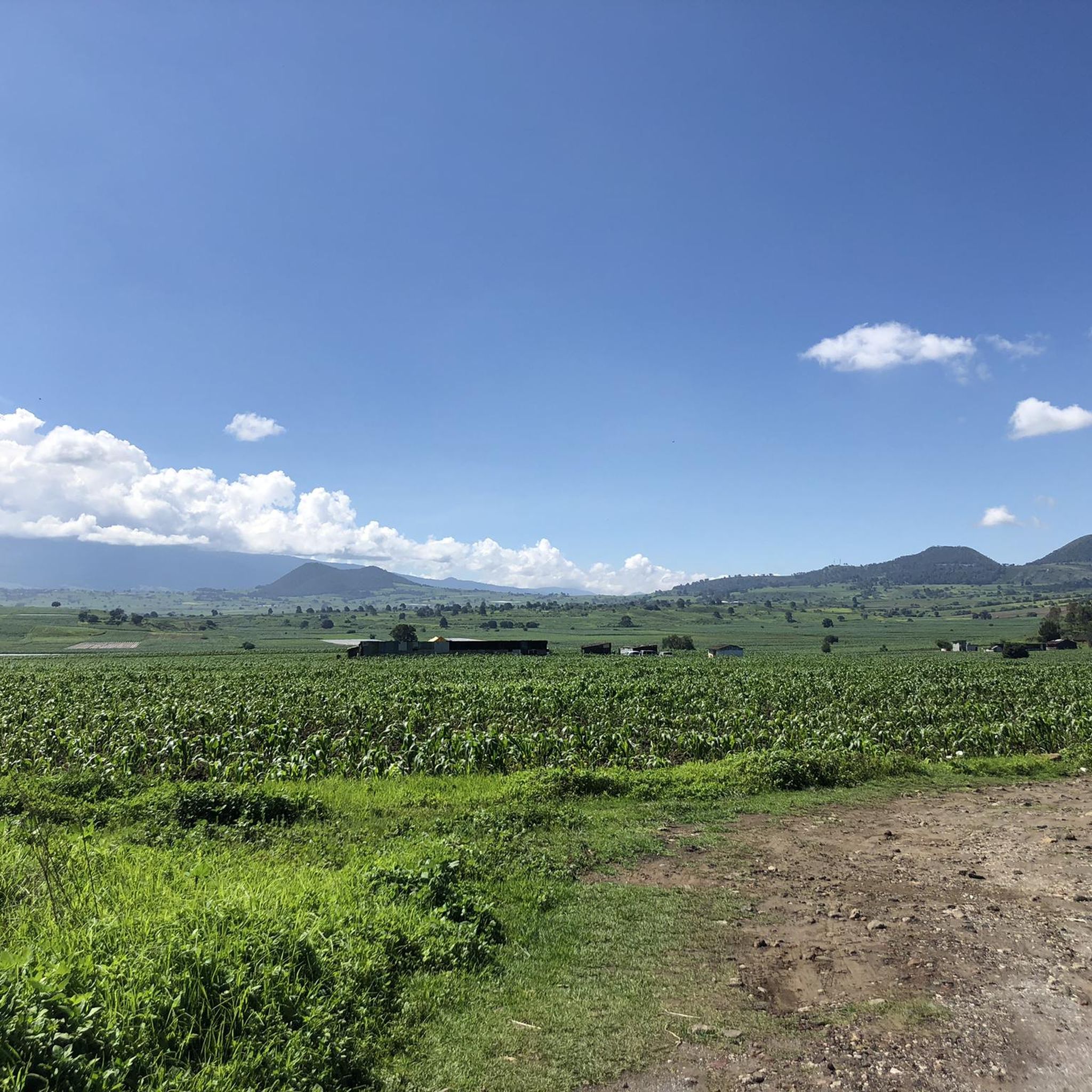
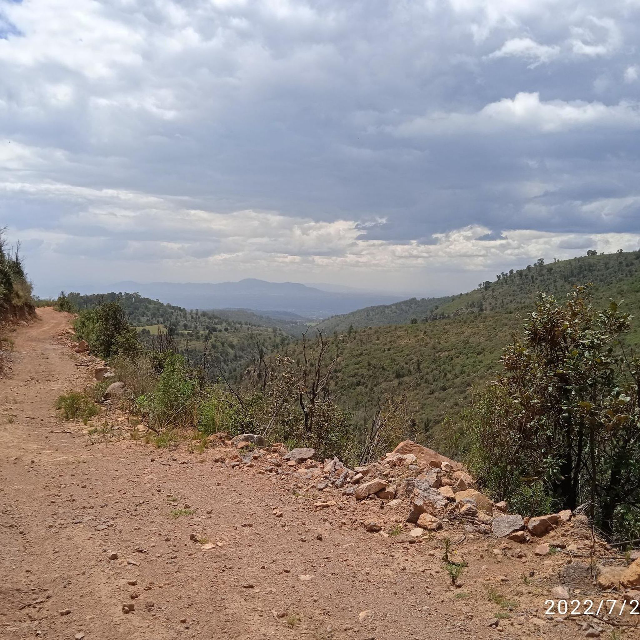
Hiking trails in Chalco are situated in a region characterized by mountainous terrain and forested landscapes, offering varied elevation changes. The area features notable natural elements such as waterfalls and prominent peaks like Monte Tlaloc. The trails often traverse through dense woodlands and provide views of the surrounding natural environment.
Best hiking trails in Chalco
- The most popular hiking route is Dos Aguas Waterfall – Calm Stream loop from Tlalmanalco, a 5.0 miles (8.1 km) trail that takes 2…
Last updated: July 23, 2026
4.9
(30)
80
hikers
8.07km
02:46
430m
430m
Moderate hike. Good fitness required. Easily-accessible paths. Suitable for all skill levels.
4.4
(23)
86
hikers
19.4km
07:01
1,180m
1,180m
Hard hike. Very good fitness required. Easily-accessible paths. Suitable for all skill levels.

Sign up for free
4.7
(25)
62
hikers
11.7km
04:16
720m
720m
Moderate hike. Good fitness required. Easily-accessible paths. Suitable for all skill levels.
5.0
(8)
36
hikers
20.7km
07:09
1,130m
1,120m
Hard hike. Very good fitness required. Easily-accessible paths. Suitable for all skill levels.
4.6
(5)
15
hikers
10.5km
03:56
710m
710m
Moderate hike. Good fitness required. Easily-accessible paths. Suitable for all skill levels.
Our route recommendations are based on thousands of hikes, rides, and runs completed by other people on komoot.
Start today with a free account
Your next adventure awaits.
Login or Signup
Popular around Chalco

Tips from the Community

Old building belonging to the ancestral paper factory
0
0
A beautiful waterfall that, in colder weather, offers a stunning picture of its frozen waters.
0
0
A well-known spot for hikers in the area, you should take a photo if you pass by…
0
0
A beautiful spot with a viewpoint overlooking the Sleeping Woman, perfect for a break or a quick snack before heading to Teyotl.
1
0

demanding but recommendable
1
0

Arrive early because there are a lot of people at the waterfalls
0
0

Waterfall before Diamante Waterfall
0
0
Frequently Asked Questions
What kind of terrain can I expect on hiking trails in Chalco?
Hiking in Chalco primarily features mountainous terrain and dense forested landscapes. You'll encounter varied elevation changes, leading through woodlands and offering views of the surrounding natural environment. The trails are known for their significant ascents and descents.
Are there any waterfalls to see on hikes in Chalco?
Yes, waterfalls are a prominent natural feature in Chalco. For instance, the Dos Aguas Waterfall – Calm Stream loop from Tlalmanalco is a moderate 8.1 km trail that specifically highlights a waterfall and stream.
What are the difficulty levels of hiking trails in Chalco?
The hiking routes in Chalco cater to moderate and difficult ability levels. There are 4 moderate routes and 2 difficult routes available. Trails like the Plan de la Cuesta Campsite – Witch's Tree loop from Tlalmanalco are considered moderate, while the Cayiman – Monte Tlaloc loop from Río Frío de Juárez is a more challenging option.
Are there any long-distance or challenging hikes in Chalco?
Yes, Chalco offers several challenging, longer routes. The Cayiman – Monte Tlaloc loop from Río Frío de Juárez is a difficult 20.7 km trail that takes approximately 7 hours 9 minutes to complete, leading through mountainous terrain towards Monte Tlaloc. Another difficult option is the Plan de la Cuesta Campsite – Frozen Waterfall loop from Tlalmanalco, spanning 19.4 km.
What do other hikers say about the trails in Chalco?
The routes in Chalco are highly rated by the komoot community, with an average score of 4.6 stars from over 70 reviews. Hikers often praise the diverse terrain, the presence of waterfalls, and the significant mountain ascents that define the area's trails.
Are there any circular hiking routes in Chalco?
Yes, many of the trails in Chalco are designed as loops. Examples include the Dos Aguas Waterfall – Calm Stream loop from Tlalmanalco and the Plan de la Cuesta Campsite – Witch's Tree loop from Tlalmanalco, both offering a return to your starting point.
What is the highest point or most notable peak accessible by trail in Chalco?
The prominent peak of Monte Tlaloc is a significant feature in the region. You can hike towards it on trails such as the Cayiman – Monte Tlaloc loop from Río Frío de Juárez, which leads through mountainous terrain to this notable summit.
How many hiking trails are there in Chalco?
There are 6 hiking routes available in Chalco, offering a range of experiences from moderate to difficult, and featuring diverse natural elements like waterfalls and mountain ascents.
What kind of natural features can I expect to see while hiking in Chalco?
Hikers in Chalco can expect to encounter dense forests, significant mountain ascents, and beautiful waterfalls. The region's landscape is characterized by its mountainous terrain and rich woodlands, providing a varied natural environment for exploration.
Are there any trails that offer significant elevation gain in Chalco?
Yes, many trails in Chalco feature significant elevation gain due to the mountainous terrain. For example, the Plan de la Cuesta Campsite – Witch's Tree loop from Tlalmanalco includes substantial elevation gain through its forested areas.
What is the typical duration for hikes in Chalco?
Hike durations in Chalco vary depending on the route's length and difficulty. Moderate trails like the Dos Aguas Waterfall – Witch's Tree loop from Tlalmanalco can take around 3 hours 56 minutes, while more difficult and longer routes, such as the Cayiman – Monte Tlaloc loop from Río Frío de Juárez, can take over 7 hours.
Most popular routes in Chalco

Get inspired with the komoot mobile app


Explore more
Browse the best Hikes in other regions.
