The best mountain hikes around Stadtkyll
5.0
(1)
2
hikers
3
hikes
Mountaineering routes around Stadtkyll traverse the Vulkaneifel region, characterized by rolling hills, dense forests, and the Kyll River valley. The landscape features unique geological formations due to its volcanic origins, offering varied terrain for exploration. While not featuring high alpine peaks, the area provides numerous trails with challenging uphill sections and scenic viewpoints. These routes offer opportunities to experience the natural beauty of the Eifel, including nature reserves and elevated vistas.
Best mountaineering routes around Stadtkyll
- The most popular mountaineering…
Last updated: August 14, 2026
5.0
(1)
1
hikers
4.50km
01:19
120m
130m
Easy mountaineering route. Great for any fitness level. Easily-accessible paths. Suitable for all skill levels.
1
hikers
5.38km
01:30
110m
110m
Easy mountaineering route. Great for any fitness level. Easily-accessible paths. Suitable for all skill levels.

Sign up for free
15.9km
04:17
210m
210m
Moderate mountaineering route. Good fitness required. Easily-accessible paths. Suitable for all skill levels.
Our route recommendations are based on thousands of hikes, rides, and runs completed by other people on komoot.
Start today with a free account
Your next adventure awaits.
Login or Signup
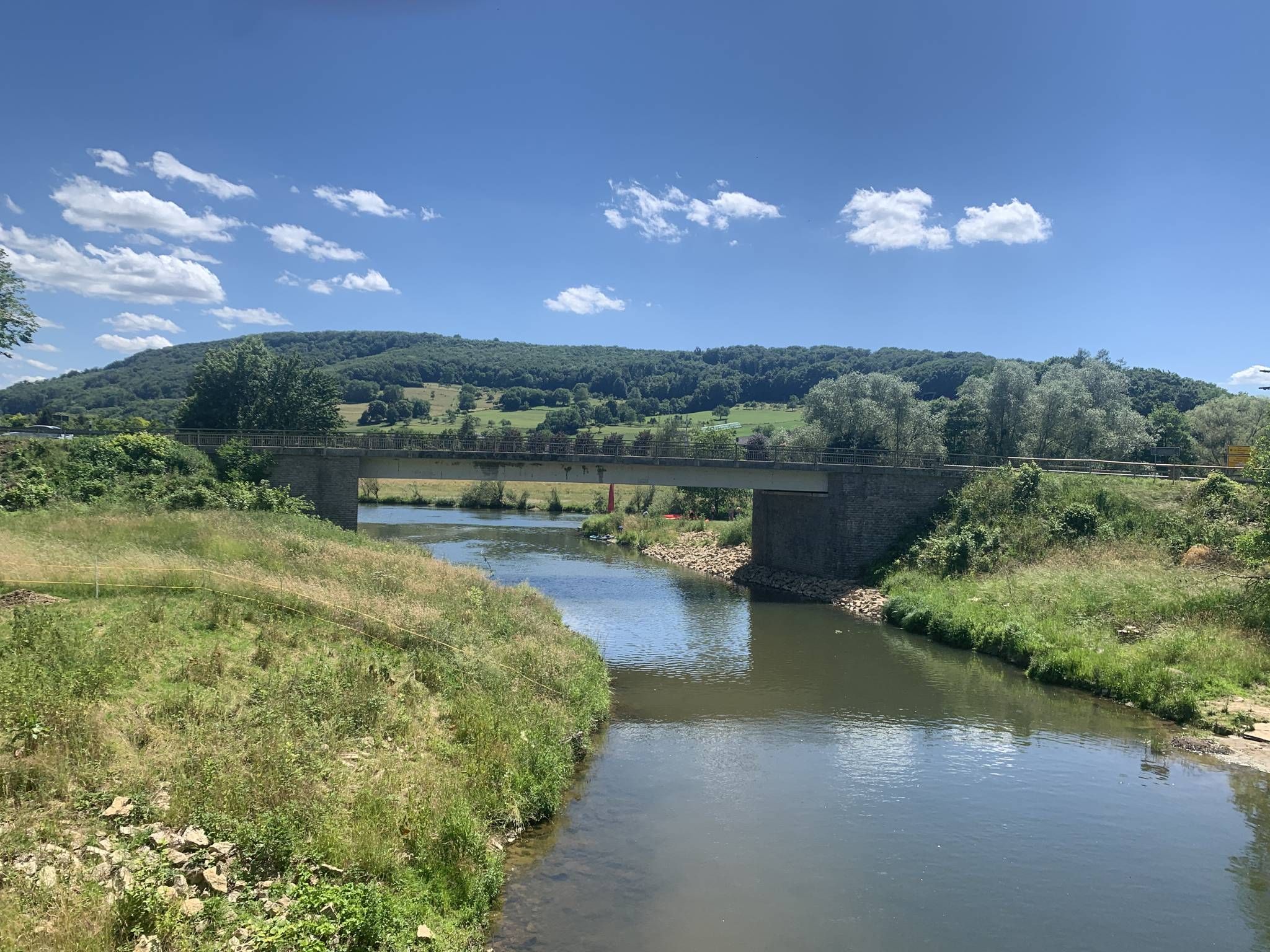
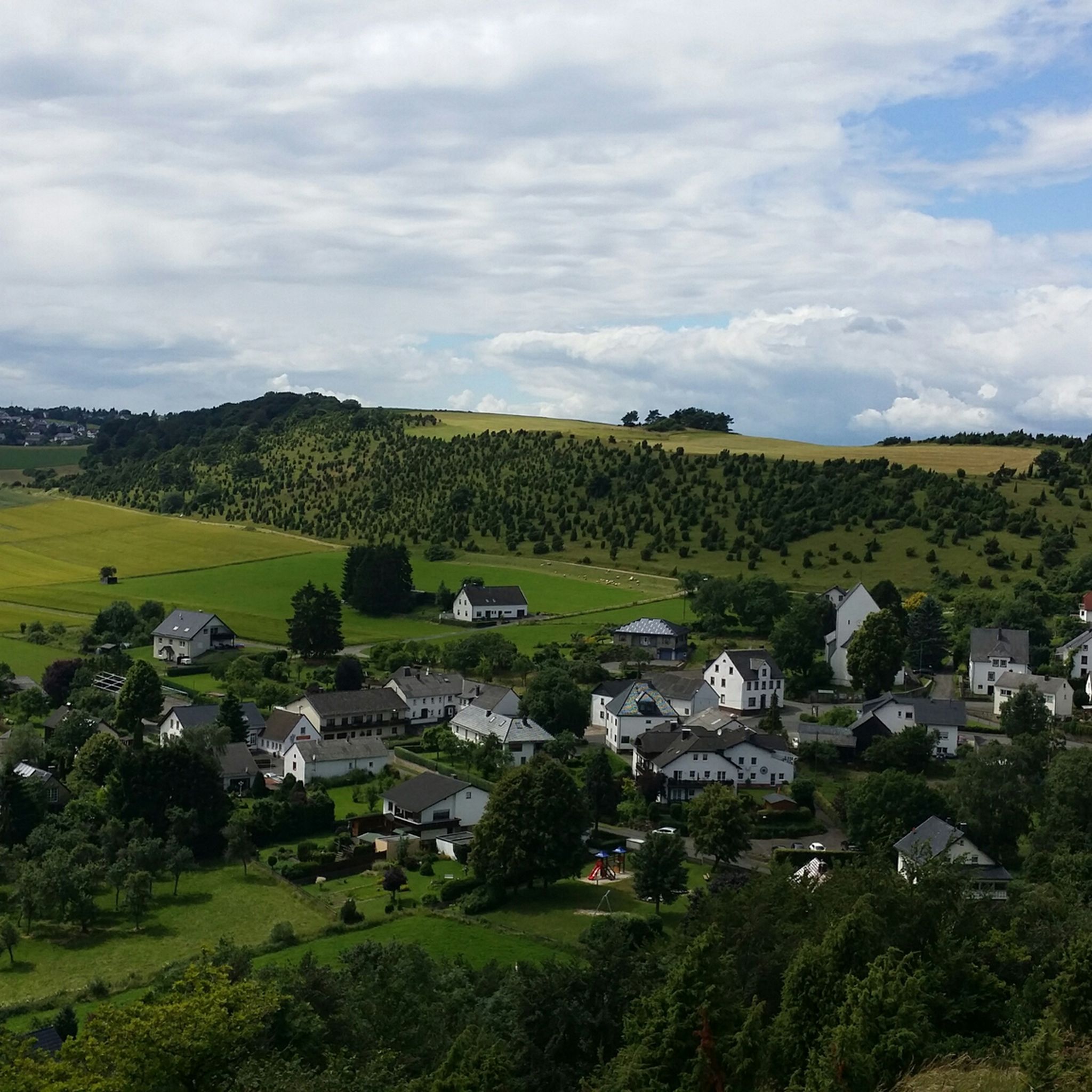
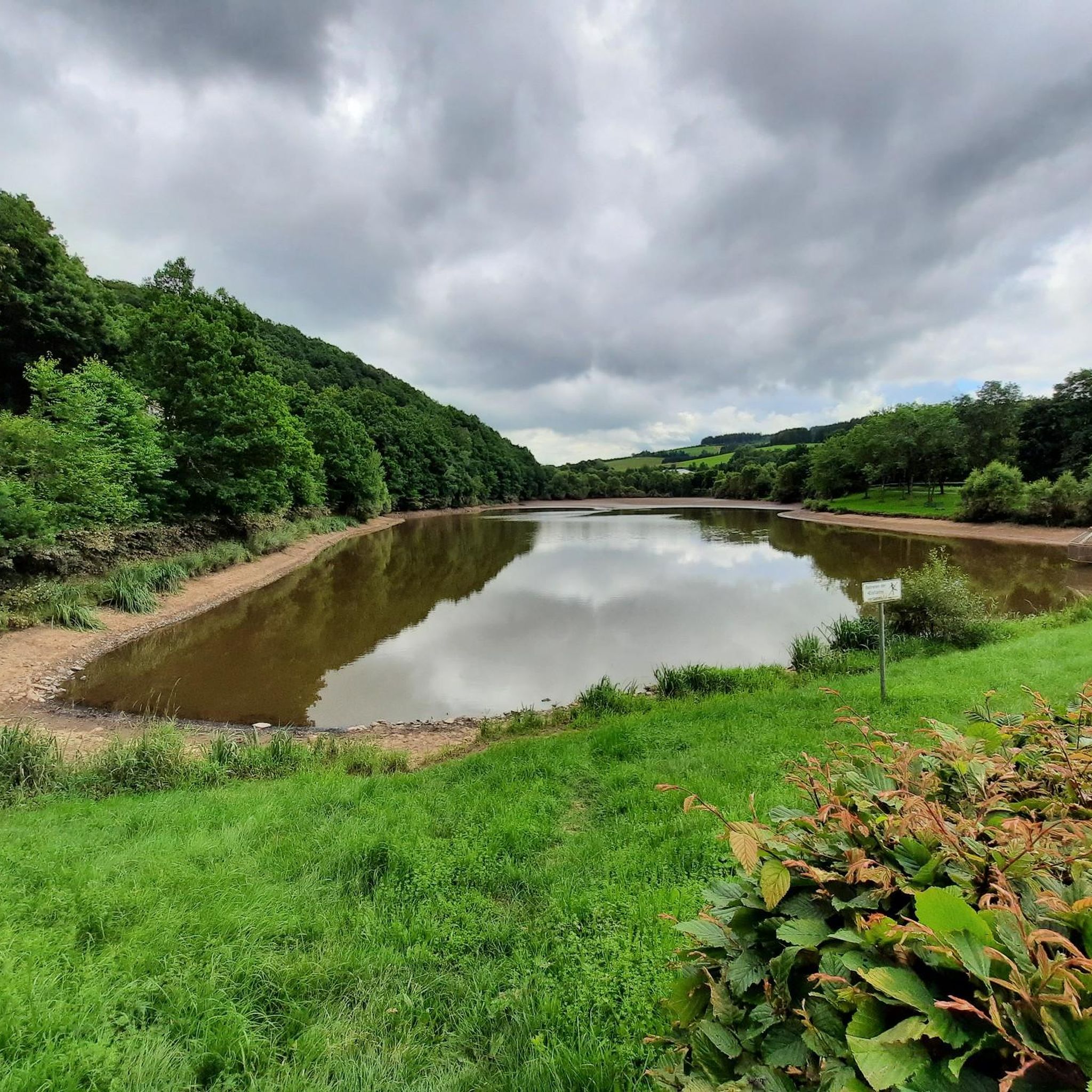
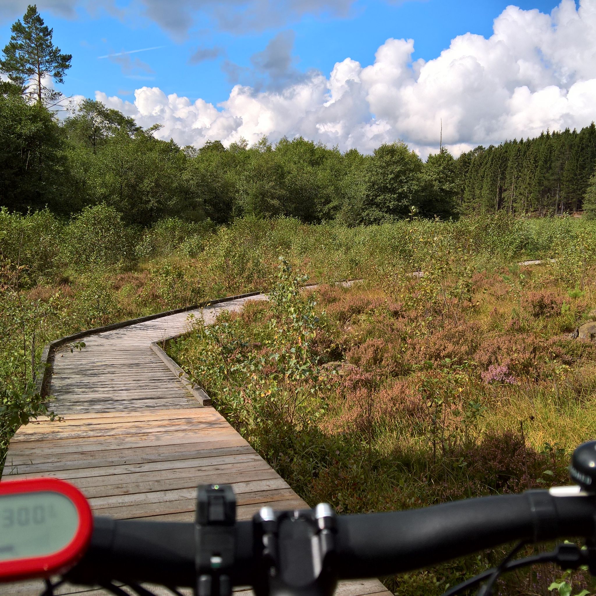
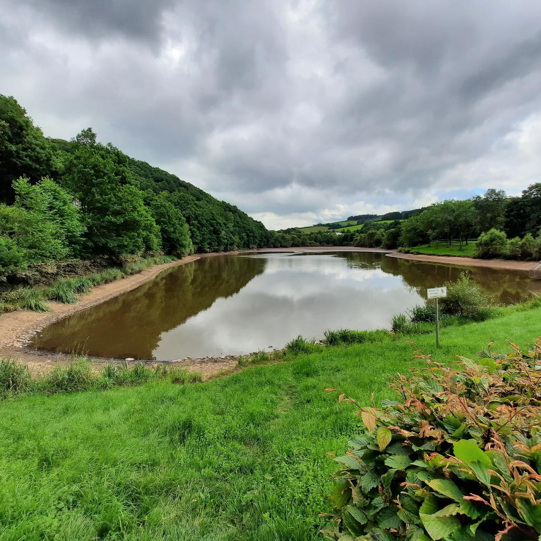
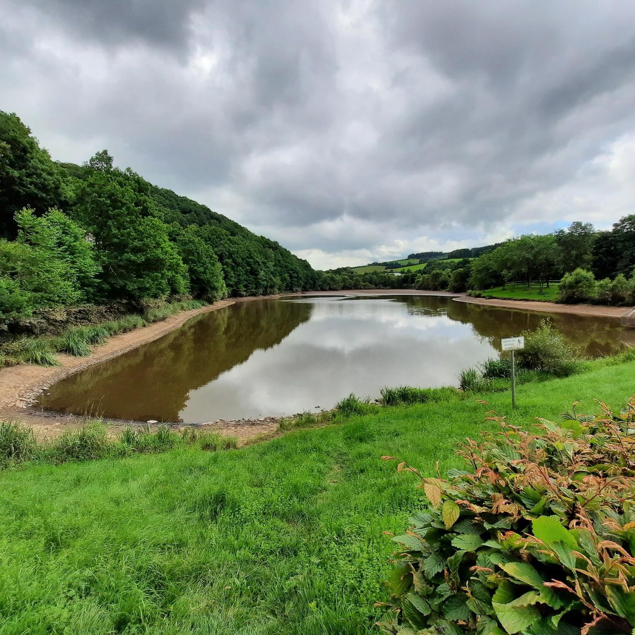
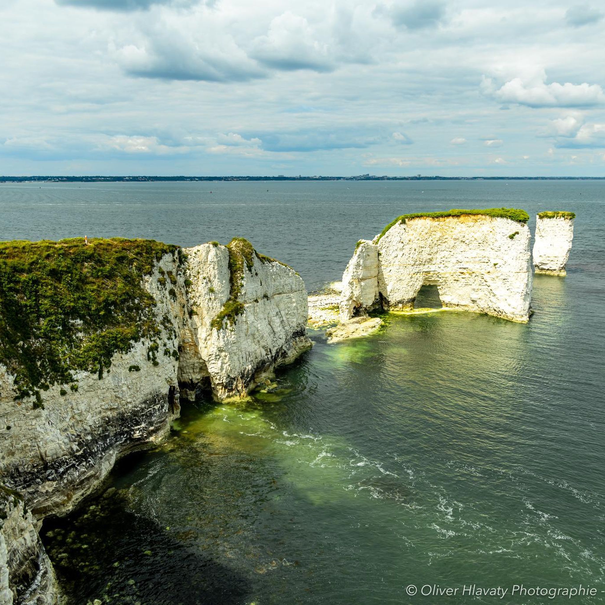
Other adventures around Stadtkyll

Tips from the Community

This is Emma: ART am WEG Kronenburg, Station 21
0
1

Parking is located directly on the Moorpfad
0
0

There's a small parking lot that's free to use. However, it's very crowded during the day on weekends.
0
0

Small parking lot at the moor for anyone who doesn't want to walk here from Dahlem. There are a few parking spaces, but since this is a popular recreational and hiking area, the parking spaces fill up quickly, so people park on the access road.
0
0

The cross on the branch
2
0

Nice shady rest area with access to the stream.
2
0

Very chic, you can cool your feet
2
0

Great little spot below the castle ruins - definitely worth a walk!
10
0
Frequently Asked Questions
How many mountaineering routes are there around Stadtkyll?
There are 3 dedicated mountaineering routes around Stadtkyll listed in this guide. These routes offer a range of experiences, from easy loops to more moderate excursions through the Eifel landscape.
What kind of difficulty can I expect on mountaineering routes near Stadtkyll?
The mountaineering routes around Stadtkyll primarily feature easy to moderate difficulty levels. You'll find 2 easy routes and 1 moderate route, making the area accessible for various fitness levels. While not high alpine, the routes include challenging uphill sections and varied terrain characteristic of the Eifel's volcanic origins.
Are there family-friendly mountaineering routes in the Stadtkyll area?
Yes, several routes are suitable for families. The easy routes, such as the Ruins of Kronenburg Castle loop from NSG Honertseifen und Heinborn, are great options. These trails are generally shorter and less strenuous, allowing families to enjoy the natural beauty of the region together.
Can I bring my dog on mountaineering trails around Stadtkyll?
Most trails in the Eifel region, including those around Stadtkyll, are dog-friendly. It's always recommended to keep your dog on a leash, especially in nature reserves or near wildlife, and to carry water for them. The varied terrain and forest paths make for an enjoyable experience for both you and your canine companion.
Are there circular mountaineering routes available near Stadtkyll?
Yes, all the mountaineering routes highlighted in this guide are circular. This includes the Ruins of Kronenburg Castle loop from NSG Honertseifen und Heinborn, the Dahlem Moor Boardwalk – Heiden-Kopf II loop from Dahlem (Eifel), and the Jesus Cross at the Fork loop from Obere Urft, allowing you to start and end at the same point.
What natural features or landmarks can I see along mountaineering routes in Stadtkyll?
Mountaineering routes around Stadtkyll offer diverse natural features. You can explore unique geological formations from the region's volcanic past. Nearby attractions include impressive gorges like Lampertstal and Bolsdorfer Valley, as well as fascinating caves such as the Millstone Cave at Rother Kopf and Düwelskall Cave. The routes also traverse dense forests and the picturesque Kyll River valley.
Which mountaineering routes offer the best panoramic views?
Many trails in the Eifel region provide excellent viewpoints. The Jesus Cross at the Fork loop from Obere Urft offers elevated views over the Kyll valley. For broader vistas, the Kalvarienberg Trail, though not specifically listed in this guide, is known for its scenic mountain path and excellent valley views over juniper landscapes.
What is the best time of year for mountaineering in Stadtkyll?
The Eifel region is suitable for mountaineering year-round, with each season offering a unique experience. Spring brings blooming wildflowers, summer provides lush green landscapes, autumn showcases vibrant foliage, and winter can offer serene, snow-covered trails. Always check local weather conditions before heading out, especially in colder months.
Is parking available for mountaineering routes near Stadtkyll?
Yes, parking is generally available at the starting points of many trails around Stadtkyll. Specific parking information can often be found on individual route descriptions or local tourism websites. It's advisable to check for designated parking areas to ensure convenient access to the trails.
Are there opportunities for refreshment stops along the mountaineering routes?
While the routes themselves might not always feature direct refreshment stops, the town of Stadtkyll and surrounding villages offer cafes and pubs where you can refuel before or after your hike. Some longer routes might pass through or near small settlements with options for a break.
What do other mountaineers enjoy the most about mountaineering in Stadtkyll?
The area is highly rated by the komoot community, with an average score of 5.0 stars. Mountaineers often praise the varied terrain, the unique volcanic landscapes, and the peaceful atmosphere of the forests and river valleys. The well-maintained trails and scenic viewpoints are also frequently highlighted as enjoyable aspects of the experience.
Most popular routes around Stadtkyll
Most popular attractions around Stadtkyll

Get inspired with the komoot mobile app


Explore more
Browse the best Mountain Hikes & Routes in other regions.
