The best mountain hikes around Lauf an der Pegnitz
11
hikers
2
hikes
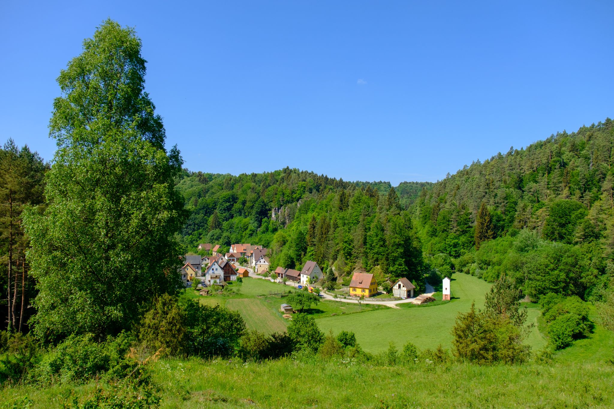
Mountaineering routes Lauf an der Pegnitz traverse a landscape characterized by the picturesque Pegnitz River Valley, featuring rolling hills and dense forests. The region offers varied terrain, including rustic forest paths within the Bitterbachschlucht gorge and elevated viewpoints like Hohenstein and Moritzberg. While not high-alpine, the area provides challenging and engaging outdoor experiences with its natural formations and ascents.
Best mountaineering routes around Lauf an der Pegnitz
- The most popular mountaineering route is Happurger Lake – Happurg Reservoir loop from Happurg, a 3.9 miles (6.3 km) trail that takes 1 hour 58 minutes to complete, featuring a difficult ascent.
- Another top favourite among local mountaineers is Community Weißenohe – Gräfenberg Old Town loop from Weißenohe, a moderate 10.0 miles (16.2 km) path that explores the varied terrain around Weißenohe.
- Local mountaineers also love the Moritzberg Mountain Inn – Chiming Waterfall loop from Schönberg, a 4.8 miles (7.7 km) trail leading through forest paths and towards the Moritzberg, often completed in about 2 hours 17 minutes.
- Mountaineering around Lauf an der Pegnitz is defined by the Pegnitz River Valley, rolling hills, and dense forests, offering routes that range from moderate to difficult. The network provides options for different ability levels, including ascents to scenic overlooks.
- The routes in Lauf an der Pegnitz are highly rated by the komoot community with an average score of 4.0 stars from 1 review. More than 10 mountaineers have used komoot to explore Lauf an der Pegnitz's varied terrain.
Last updated: October 8, 2026
8
hikers
6.34km
01:59
210m
210m
Hard mountaineering route. Great for any fitness level. Sure-footedness, sturdy shoes and alpine experience required.
2
hikers
7.90km
02:22
230m
230m
Moderate mountaineering route. Good fitness required. Easily-accessible paths. Suitable for all skill levels.

1
hikers
Moderate mountaineering route. Good fitness required. Easily-accessible paths. Suitable for all skill levels.
Our route recommendations are based on thousands of hikes, rides, and runs completed by other people on komoot.
Start today with a free account
Your next adventure awaits.
Popular around Lauf an der Pegnitz
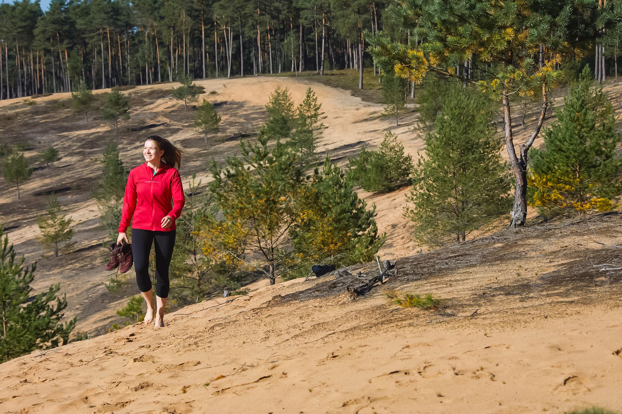
Hike the Dune Path in Central Germany – From sand dunes to forests
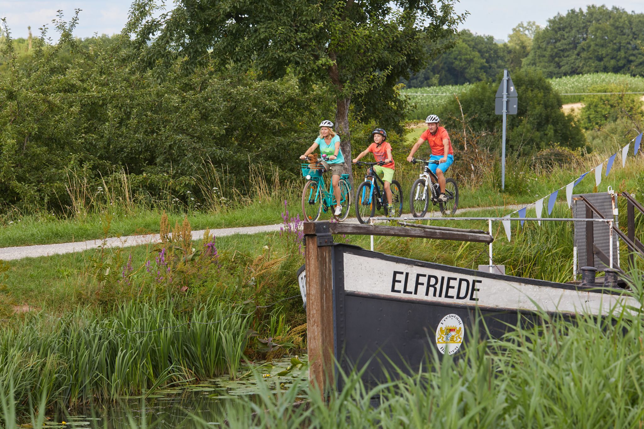
Varied family cycling routes in Nürnberger Land
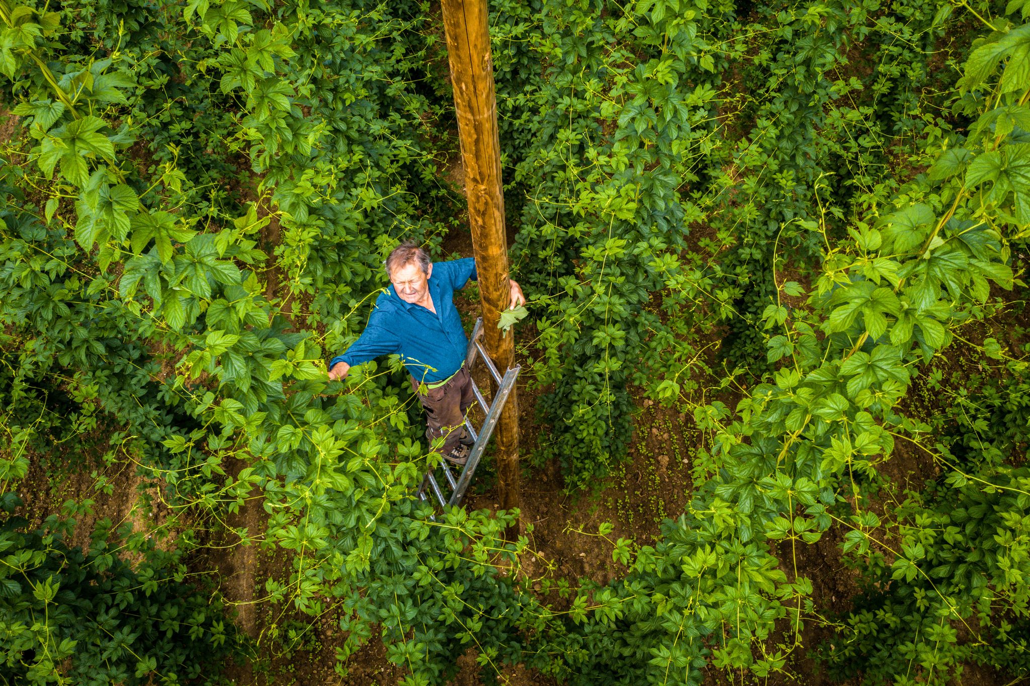
Hop Weeks in the Nürnberger Land – Hiking Trails Full of Delight
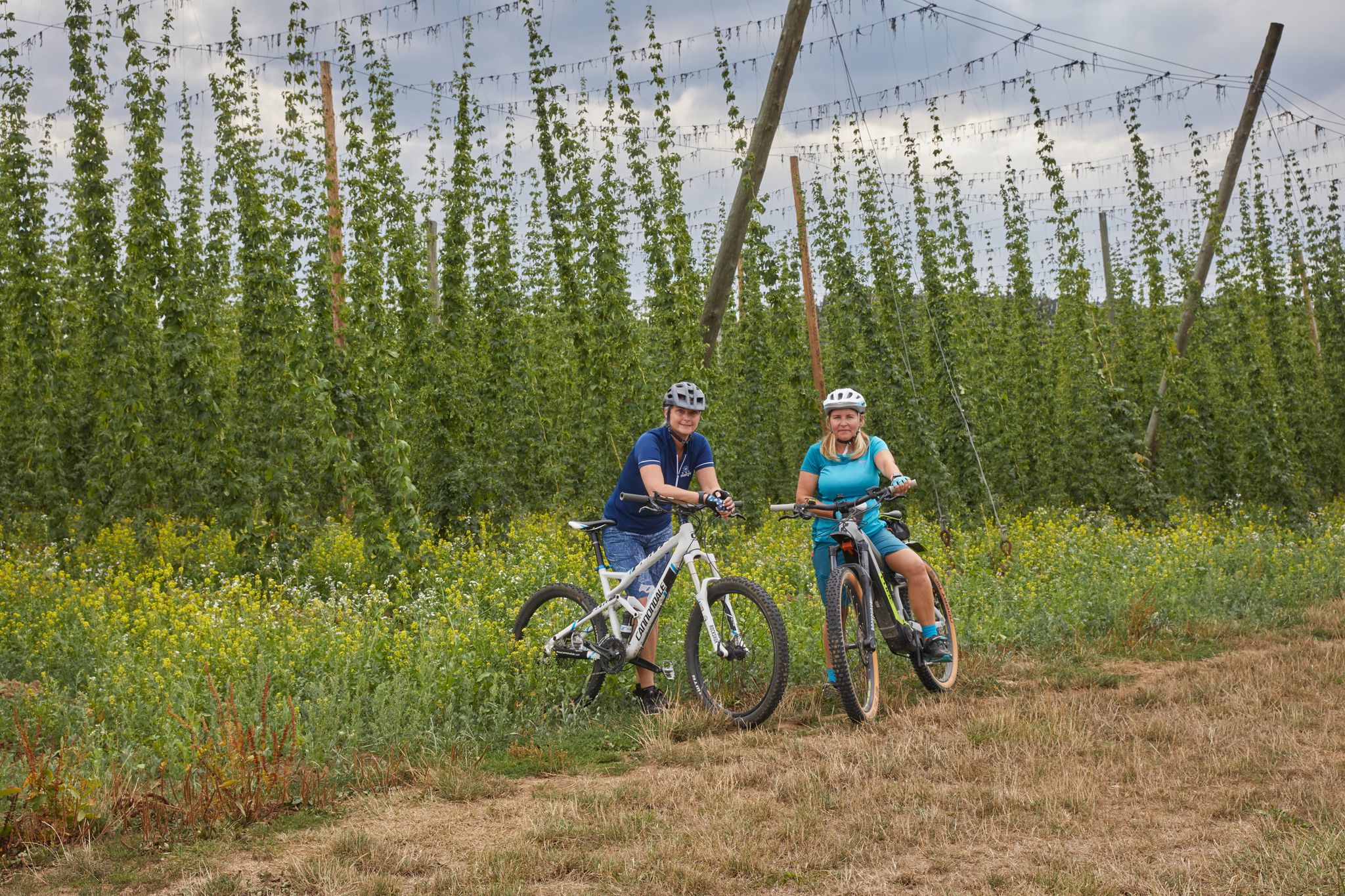
Cycling to the Hop Weeks in the Nuremberg Region
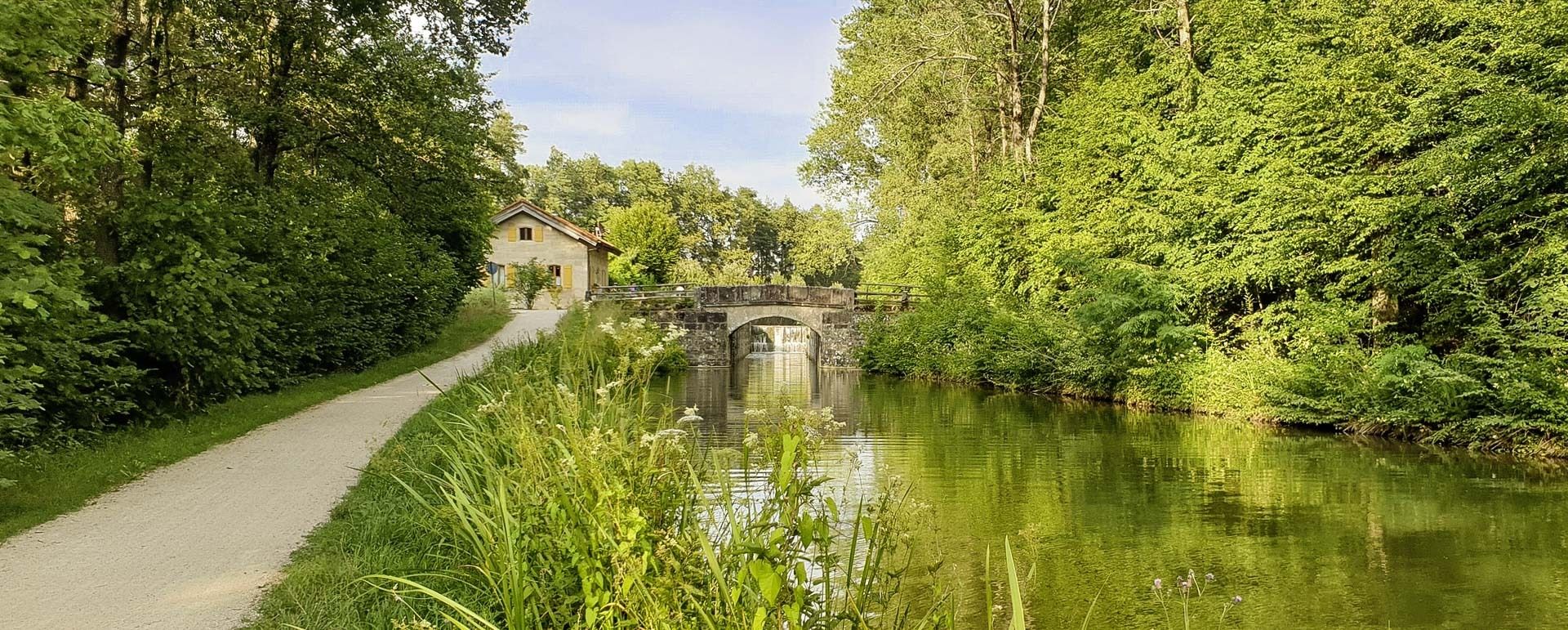
Gentle hills, rivers & forests – cycling in Germany’s Nuremberg Land
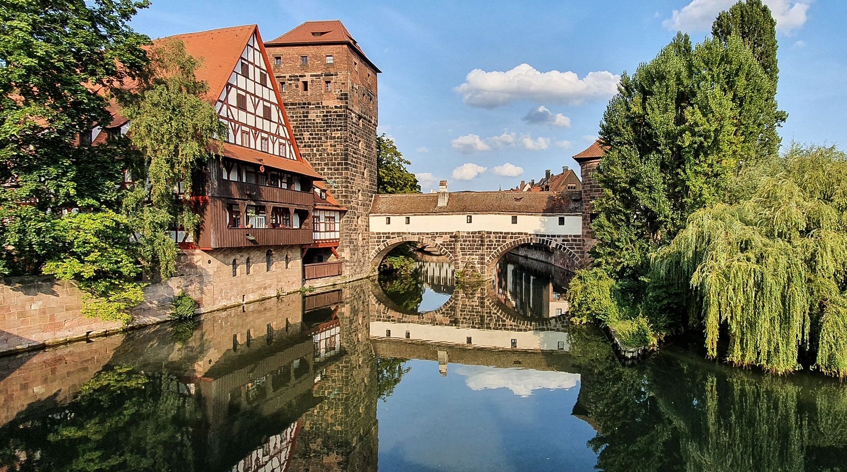
Countryside rides — exploring Nuremberg, Erlangen & Fürth
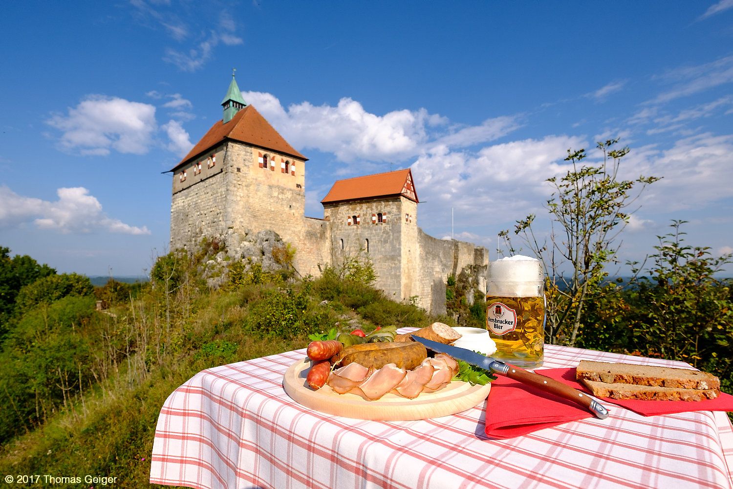
Culinary cycling Tours in the heart of the Franconian Alb mountains
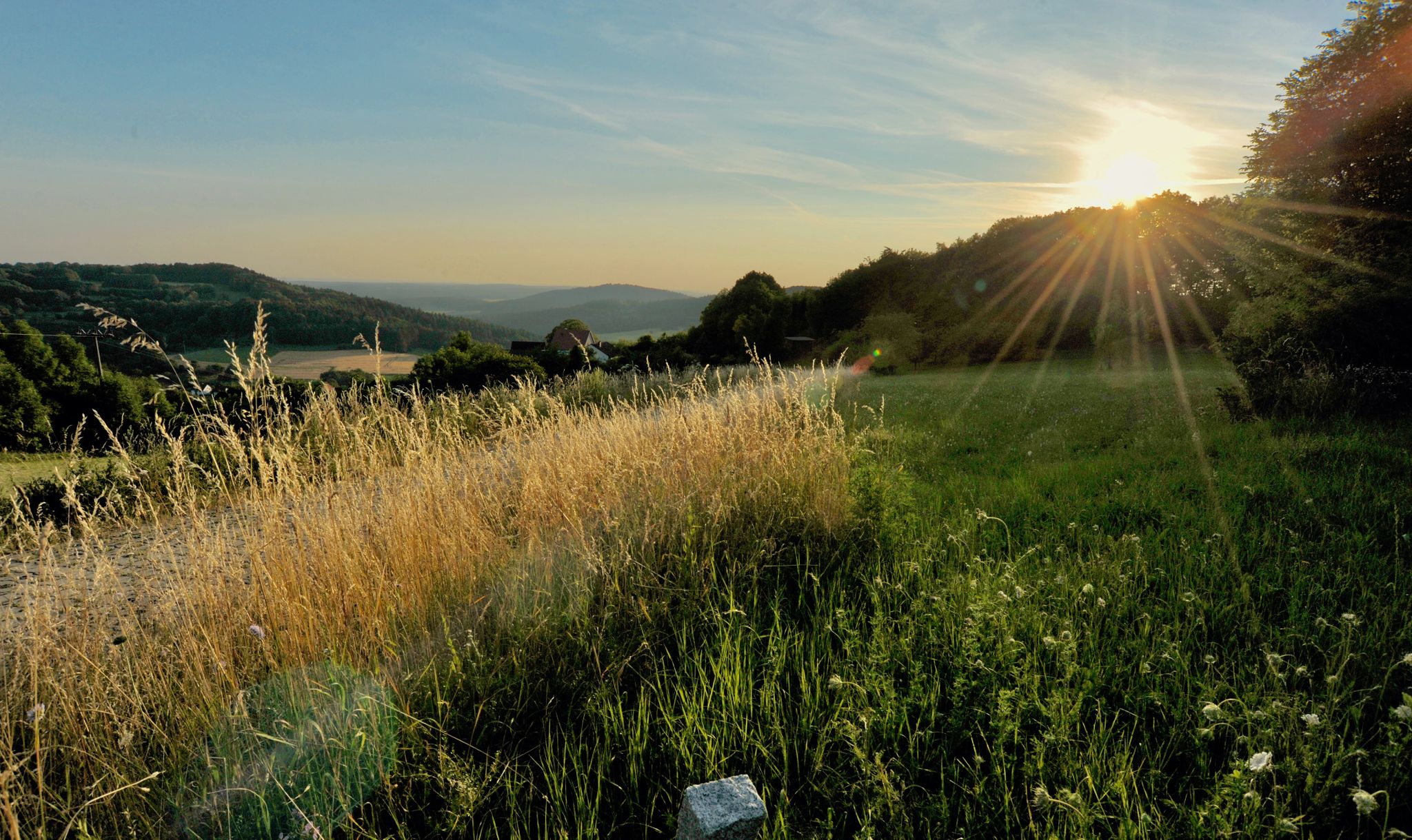
Hiking quiet paths through the Nürnberger Land in Bavaria
The most beautiful cycle paths through the Nuremberg Land
Rivers, forests, ancient castles - cycling in Nürnberger Land
Other adventures around Lauf an der Pegnitz


Tips from the Community

... a beautiful view of Nuremberg ...
0
0

Get a little closer to heaven and reward yourself with a cold refreshment. Life is good. 🌤️🍻
0
0

Beautiful reservoir, great place to take a break🥰
2
0

From Lauf difficult gravel tour with elevation
0
0

Super nice beer garden on the Moritzberg. Great Franconian food and beers! Top destination by bike or on a hike.
0
0

There are two tributaries, the Rohrbach and the Kainsbach.
1
0

On the north bank you can also go nude, albeit unofficially. The beach is very quiet in contrast to the busy south bank, which is also accessible by car. A hiking trail runs past it, and the walkers are not bothered by the naked bathers. However, this beach can only be reached by bike or on foot. It can also be reached by boat from the south bank.
2
0

Something for everyone... whether hiking, biking, jogging... and also in different levels of difficulty... 🤗
11
0
Frequently Asked Questions
What kind of terrain can I expect on mountaineering routes around Lauf an der Pegnitz?
The routes traverse a diverse landscape characterized by the picturesque Pegnitz River Valley, rolling hills, and dense forests. You'll encounter varied terrain, including rustic forest paths, especially within the Bitterbachschlucht gorge, and ascents to elevated viewpoints.
Are there any challenging mountaineering routes in the area?
Yes, for those seeking a challenge, the region offers routes with difficult ascents. One such route is the Happurger Lake – Happurg Reservoir loop from Happurg, which is 6.3 km long and features a difficult ascent.
Are there any routes suitable for beginners or those looking for a moderate experience?
Absolutely. Many routes offer a moderate experience. For instance, the Community Weißenohe – Gräfenberg Old Town loop from Weißenohe is a moderate 16.2 km path exploring varied terrain. Another moderate option is the Moritzberg Mountain Inn – Chiming Waterfall loop from Schönberg, which is 7.7 km long.
What natural attractions or viewpoints can I discover along these routes?
The region is rich in natural beauty. You can find elevated viewpoints like View from Glatzenstein and Moritzberg Summit, offering magnificent vistas. The unique Lillach Tufa Terraces are also a highlight, especially after rain or in spring.
Are there any routes that feature waterfalls?
Yes, you can explore routes that lead to beautiful waterfalls. The Moritzberg Mountain Inn – Chiming Waterfall loop from Schönberg specifically includes the Klingender Waterfall. The Lillach Tufa Terraces also feature cascading water, particularly impressive after rainfall.
Are the mountaineering routes around Lauf an der Pegnitz typically circular?
Many of the routes in this area are designed as loops, allowing you to start and end at the same point. Examples include the Happurger Lake – Happurg Reservoir loop and the Lillach Spring – Three Peaks of Großenohe loop.
What is the best season for mountaineering in Lauf an der Pegnitz?
The region is enjoyable for outdoor activities throughout much of the year. Spring is particularly beautiful, especially for visiting the Lillach Tufa Terraces when water levels are high. Autumn offers vibrant fall foliage, while summer provides pleasant conditions for forest paths.
Are there family-friendly options for mountaineering?
While not specifically designated as 'family-friendly mountaineering,' the region offers varied terrain with numerous trails suitable for different ability levels. Moderate routes with less elevation gain and shorter distances, often through forests or along the Pegnitz River, can be enjoyable for families.
Can I bring my dog on the mountaineering routes?
Most natural trails and forest paths in the Lauf an der Pegnitz area are generally dog-friendly. It's always advisable to keep your dog on a leash, especially in nature reserves or near wildlife, and to check local regulations for specific areas or attractions.
What do other mountaineers enjoy about the routes in Lauf an der Pegnitz?
The komoot community highly rates the routes, often praising the varied terrain, picturesque river valleys, and dense forests that characterize the area. The opportunities for ascents to scenic overlooks and the natural formations like the Bitterbachschlucht gorge are frequently highlighted.
Are there any historical landmarks to see along the routes?
Yes, beyond natural beauty, you can encounter historical sites. For example, the Rothenberg Fortress is a notable landmark that can be explored in the vicinity of some routes, offering a glimpse into the region's past.
Is public transport available to access the starting points of these routes?
Lauf an der Pegnitz is well-connected within the Nürnberger Land district. Many trailheads, especially those closer to towns and villages, can often be reached by local buses or regional trains, making public transport a viable option for accessing various starting points.
Most popular routes around Lauf an der Pegnitz
Most popular attractions around Lauf an der Pegnitz

Get inspired with the komoot mobile app


Explore more
Browse the best Mountain Hikes & Routes in other regions.
