The best mountain hikes around Kreis Olpe
4.5
(3)
8
hikers
3
hikes
Mountaineering around Kreis Olpe is characterized by its low mountain range landscape, expansive forests, and significant water bodies within Germany's Sauerland region. The area features varied terrain with numerous peaks, including Härdler, Hohe Hessel, and Riesenberg, providing diverse options for mountain hikes. The Sauerland Rothaargebirge Nature Park offers an intact landscape for outdoor activities.
Best mountaineering routes around Kreis Olpe
- The most popular mountaineering route is Left Source of the Waldbach – Sauerland-Höhenflug Trail loop from Müggenohl, a 6.6…
Last updated: October 7, 2026
4.0
(2)
5
hikers
Moderate mountaineering route. Good fitness required. Easily-accessible paths. Suitable for all skill levels.
2
hikers
5.14km
01:27
110m
110m
Easy mountaineering route. Great for any fitness level. Easily-accessible paths. Suitable for all skill levels.

5.0
(1)
1
hikers
Moderate mountaineering route. Good fitness required. Easily-accessible paths. Suitable for all skill levels.
Our route recommendations are based on thousands of hikes, rides, and runs completed by other people on komoot.
Start today with a free account
Your next adventure awaits.
Popular around Kreis Olpe
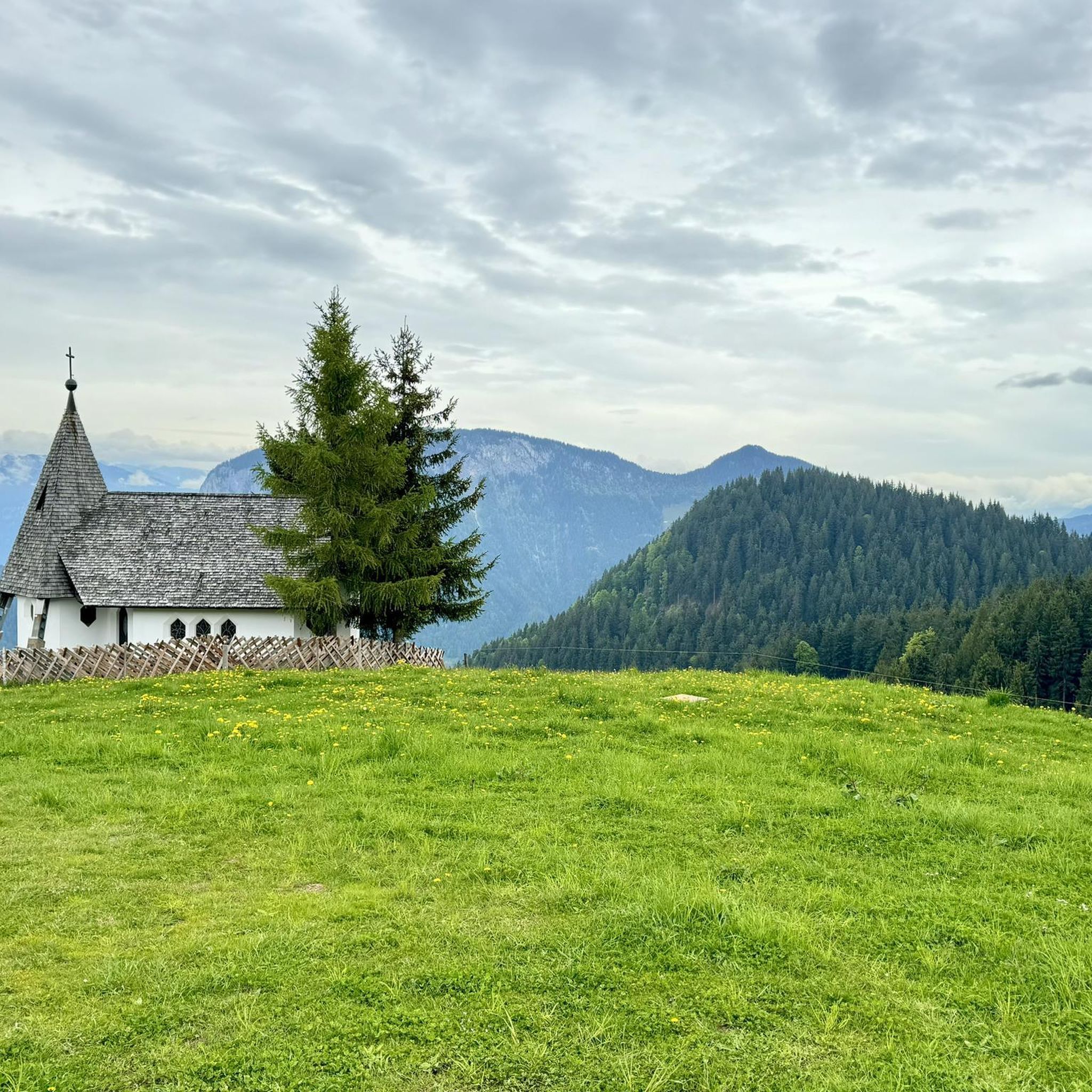
Mountain Hikes around Finnentrop
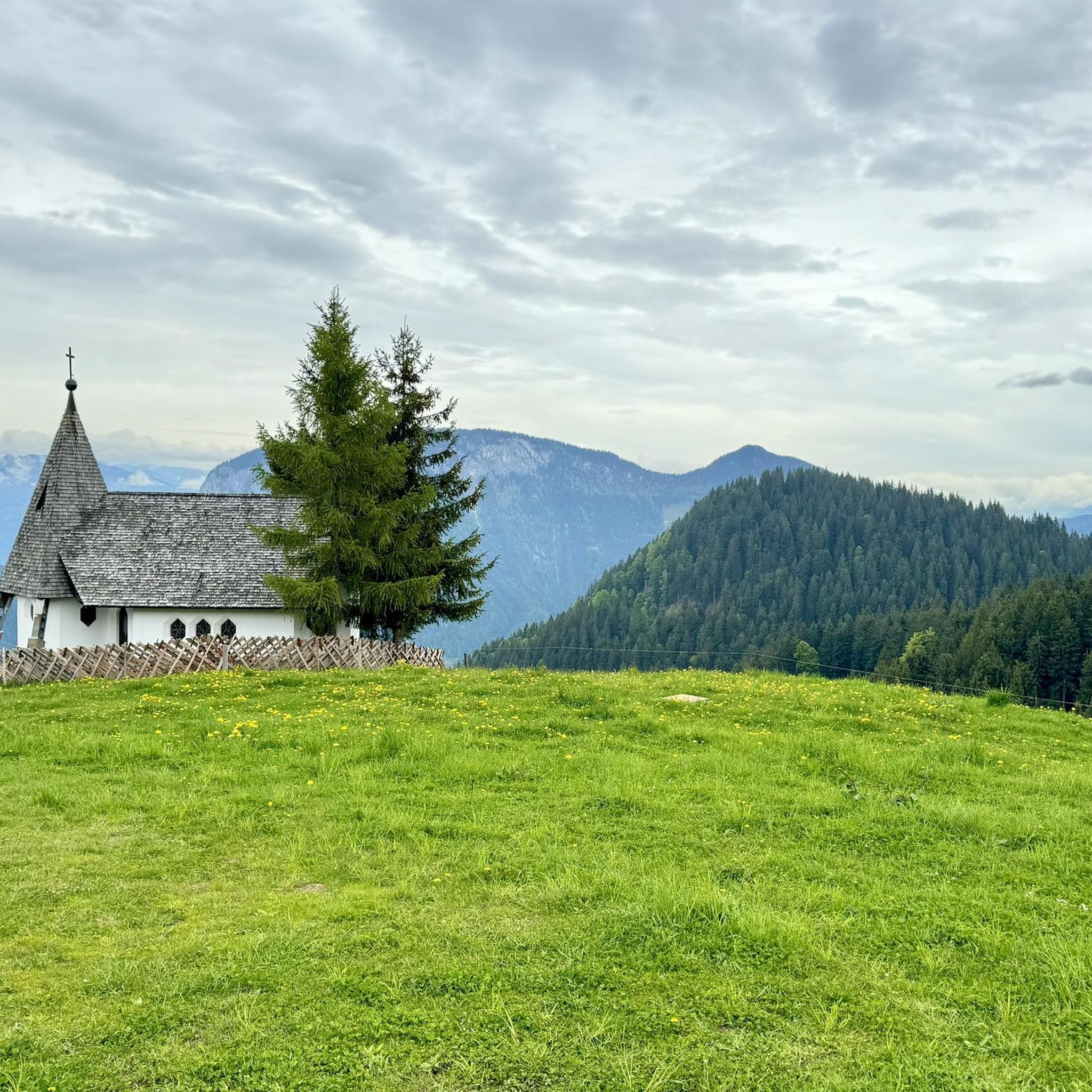
Mountain Hikes around Lennestadt
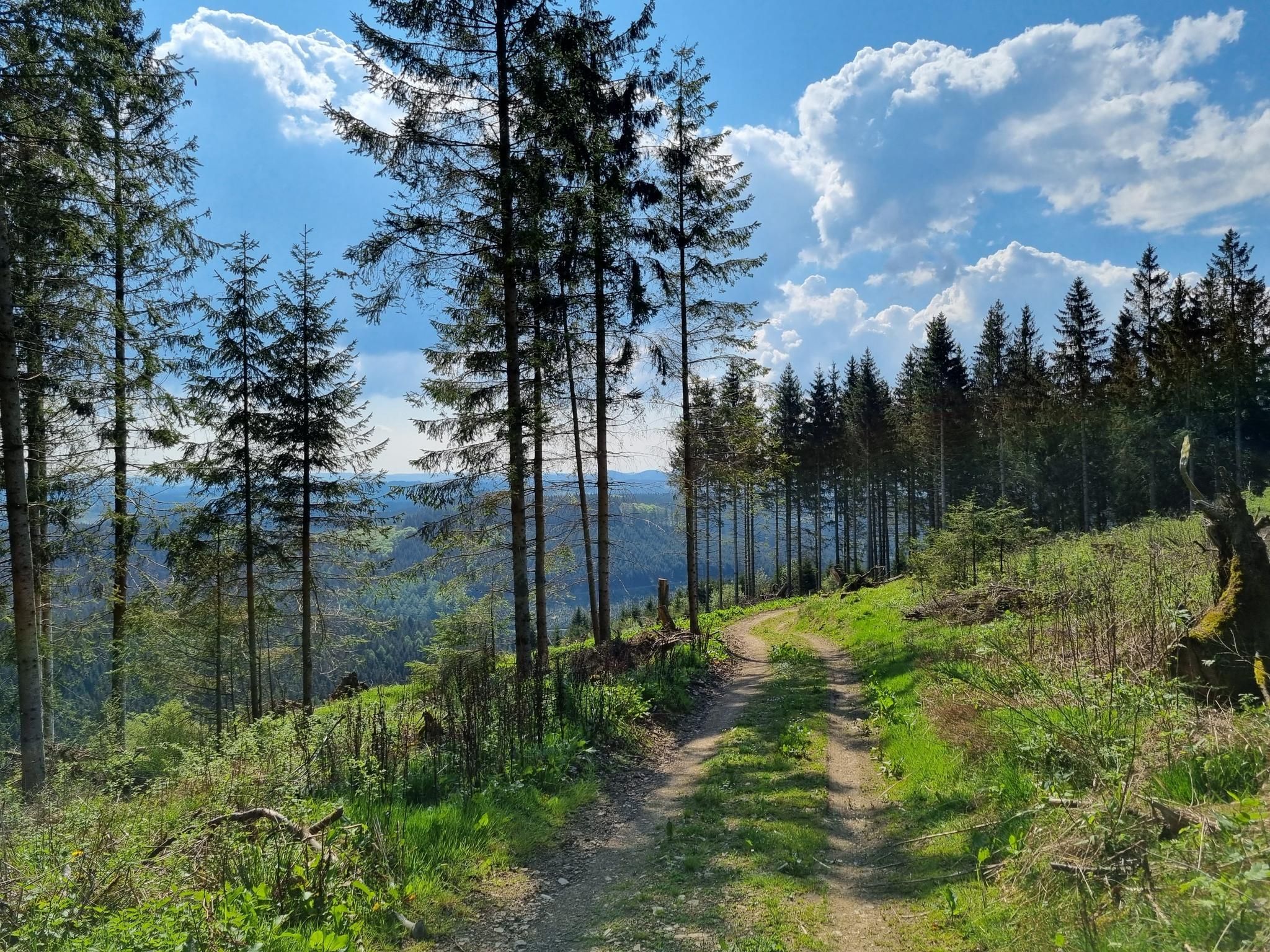
Ehmsenweg – Hiking through Western Sauerland
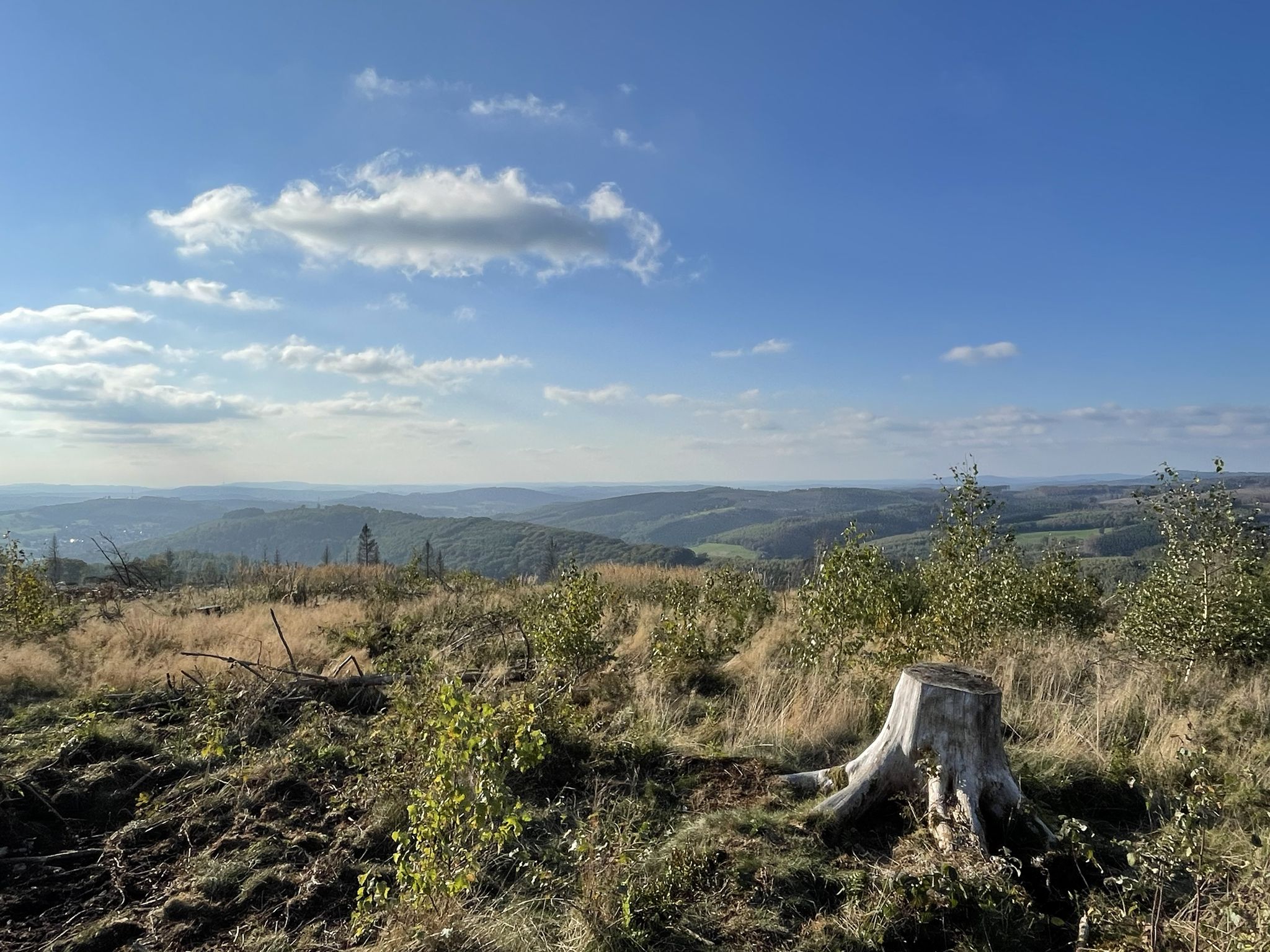
Siegerland-Höhenring – A classic in six stages
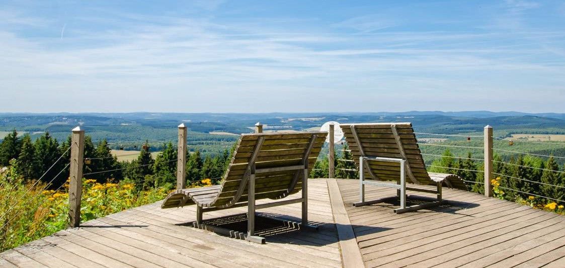
Siegerland-Höhenring – Discover a classic in 6 days
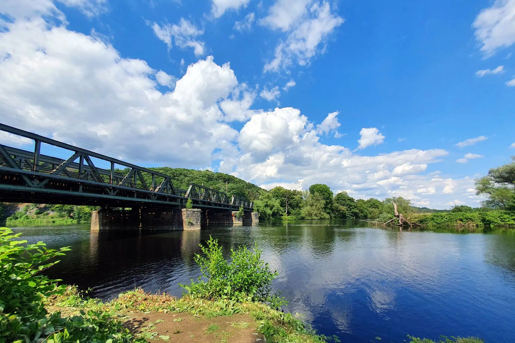
The Lenneroute – From mountains to the Ruhr through the Sauerland
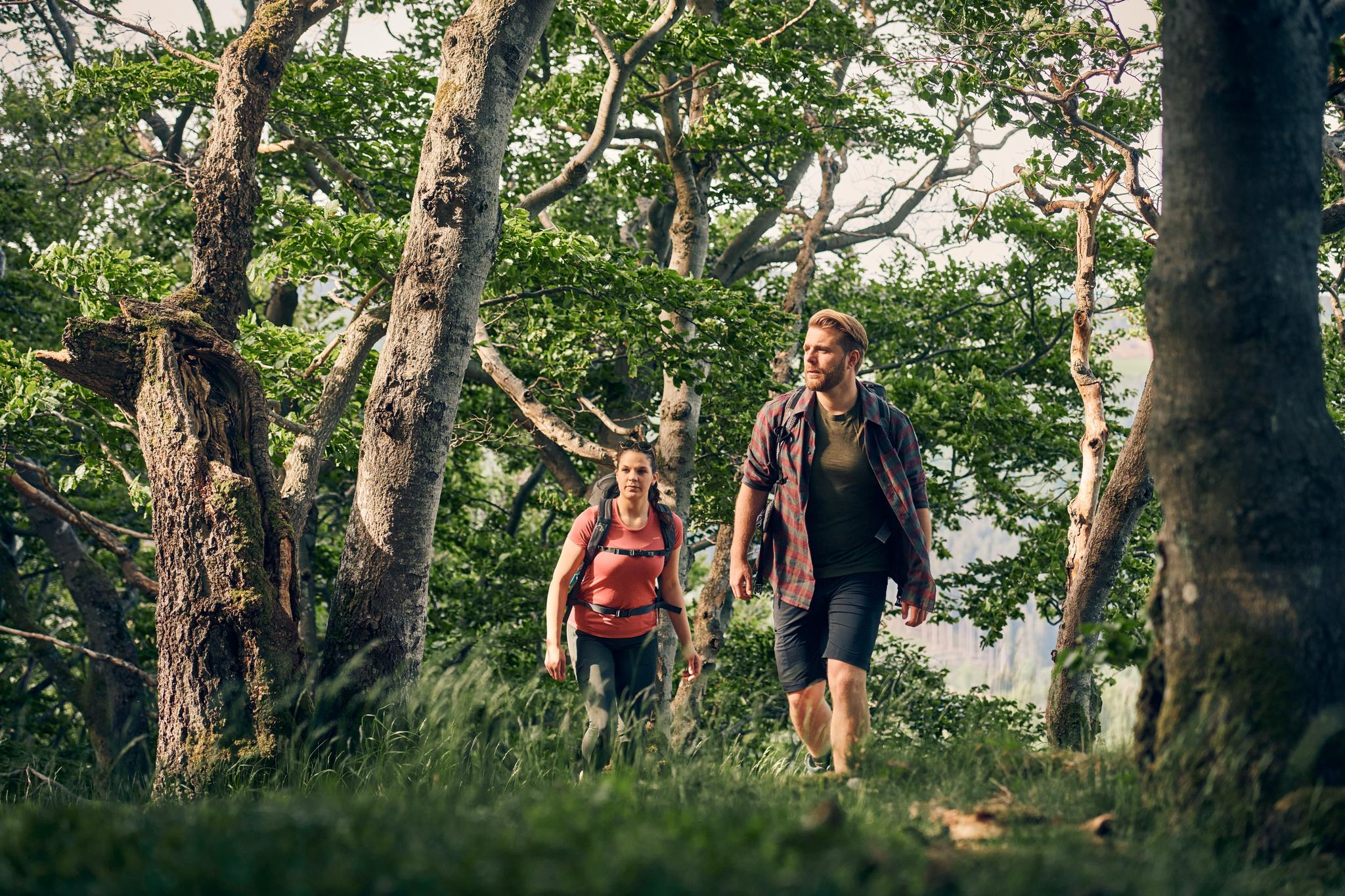
Sauerland Trails – altitude, distant views, pure nature
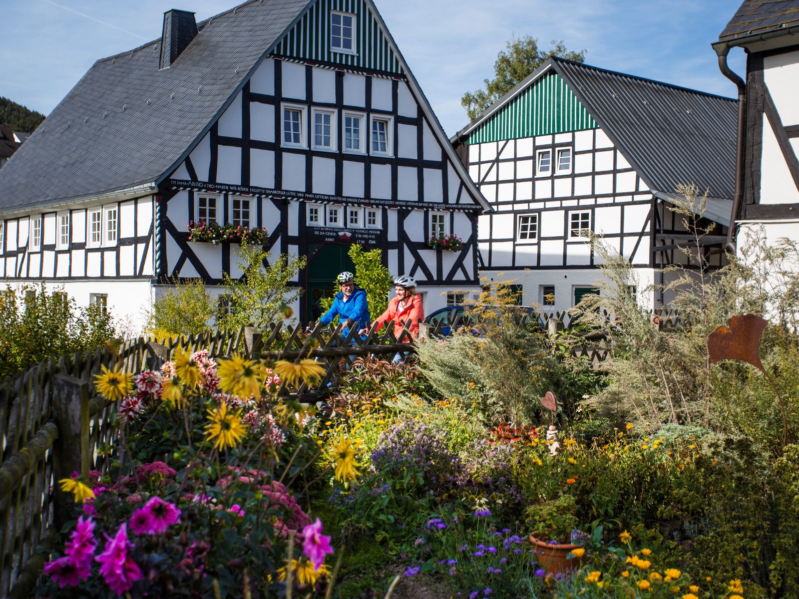
Between half-timbered houses and the past – historic cycling tours

Multi-day hikes in the Sauerland – eight trails, many unforgettable moments
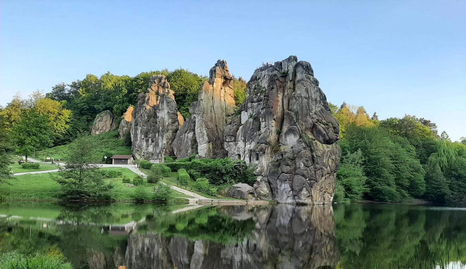
The National Natural Landscapes in Nordrhein-Westfalen
Other adventures around Kreis Olpe


Tips from the Community

Good place to stop for refreshments
0
0
Nice outdoor seating
0
0

great view, has something of a vacation
0
0

It's worth a visit. 😉
0
0
Beautiful photo opportunity 😊
0
0

A nice idea
0
0

It was actually closed but I got coffee, great
0
0

Super beautiful view over the mountains and valleys of the Sauerland.
0
0
Frequently Asked Questions
What kind of terrain can I expect on mountaineering routes in Kreis Olpe?
Mountaineering in Kreis Olpe primarily involves a low mountain range landscape characterized by expansive forests and significant water bodies. You'll find varied terrain with numerous peaks like Härdler, Hohe Hessel, and Riesenberg, offering diverse options for mountain hikes. The region's 'oscillating landscape' provides routes for various skill levels.
Are there any easy mountaineering routes suitable for beginners in Kreis Olpe?
Yes, there is at least one easy mountaineering route. For a shorter, more relaxed experience, consider the View of the Wildewiese – View of Wildewiese loop from Müggenohl. This 5.1 km path offers pleasant views of the Wildewiese area.
What are some moderate mountaineering routes in Kreis Olpe?
Several moderate routes are available. You could explore the Left Source of the Waldbach – Sauerland-Höhenflug Trail loop from Müggenohl, a 10.6 km trail along a section of the Sauerland-Höhenflug. Another great option is the Mixed Forest Hohe Bracht – View of Lennestadt-Altenhundem loop from Bilstein, which is 10.5 km and offers views towards Lennestadt-Altenhundem. For a different moderate challenge, try the Rhein-Weser Tower – Adolphsburg Castle loop from Rinsecke, covering about 10.6 km.
Are there any circular mountaineering routes in Kreis Olpe?
Yes, all the featured mountaineering routes in Kreis Olpe are circular. Examples include the Left Source of the Waldbach – Sauerland-Höhenflug Trail loop from Müggenohl, the View of the Wildewiese – View of Wildewiese loop from Müggenohl, and the Mixed Forest Hohe Bracht – View of Lennestadt-Altenhundem loop from Bilstein.
What natural features or landmarks can I see along mountaineering routes in Kreis Olpe?
Kreis Olpe is rich in natural beauty. You'll encounter expansive forests and scenic lakes like the Biggesee and Listersee. The region is part of the Sauerland Rothaargebirge Nature Park, offering an intact landscape. You might also find viewpoints such as 'Biggeblick' with panoramic vistas. While not directly on mountaineering routes, the region is also home to notable caves like the Atta Cave and Wilhelmshöhle, which are interesting nearby attractions.
What do other mountaineers enjoy most about the routes in Kreis Olpe?
The mountaineering routes in Kreis Olpe are highly rated by the komoot community, with an average score of 4.5 stars. Users often appreciate the varied terrain, the extensive forests, and the scenic beauty of the low mountain range landscape.
Are there opportunities for more technical climbing in Kreis Olpe?
While the primary focus is on mountain hiking, Kreis Olpe does offer sport climbing opportunities, particularly in the Biggesee-Kessel area. This region is known for its steep walls and challenging routes, suitable for both beginners and experienced climbers looking for a more vertical challenge beyond hiking.
What is the best time of year for mountaineering in Kreis Olpe?
Kreis Olpe, with its low mountain range landscape and extensive forests, is generally enjoyable for mountaineering throughout the warmer months, from spring through autumn. The varied wooded mountain scenery is particularly beautiful during these seasons. Winter mountaineering is possible but may require specific gear and awareness of conditions.
Are there any specific trails that are part of larger hiking networks in Kreis Olpe?
Yes, some routes in Kreis Olpe connect to or follow sections of larger, well-known trails. For instance, the Left Source of the Waldbach – Sauerland-Höhenflug Trail loop from Müggenohl takes you along a section of the Sauerland-Höhenflug Trail, which is a popular long-distance route in the region.
How many mountaineering routes are available in Kreis Olpe?
There are several mountaineering routes available in Kreis Olpe, offering a range of difficulties from easy to moderate. Currently, you can find four distinct routes to explore in the area.
What kind of views can I expect on mountaineering routes in Kreis Olpe?
Mountaineering routes in Kreis Olpe offer diverse and scenic views. You can expect panoramic vistas of the low mountain range, expansive forests, and picturesque lakes like the Biggesee. Routes like the View of the Wildewiese – View of Wildewiese loop from Müggenohl provide specific scenic outlooks, and the Mixed Forest Hohe Bracht – View of Lennestadt-Altenhundem loop from Bilstein offers views towards Lennestadt-Altenhundem.
Most popular routes around Kreis Olpe
Most popular attractions around Kreis Olpe

Get inspired with the komoot mobile app


Didn’t find what you were looking for?
Check out more Mountain Hikes & Routes throughout Kreis Olpe below and find the perfect route in your destination.
Explore more
Browse the best Mountain Hikes & Routes in other regions.
