The best mountain hikes in Naturpark Saar-Hunsrück
4.3
(8)
30
hikers
4
hikes
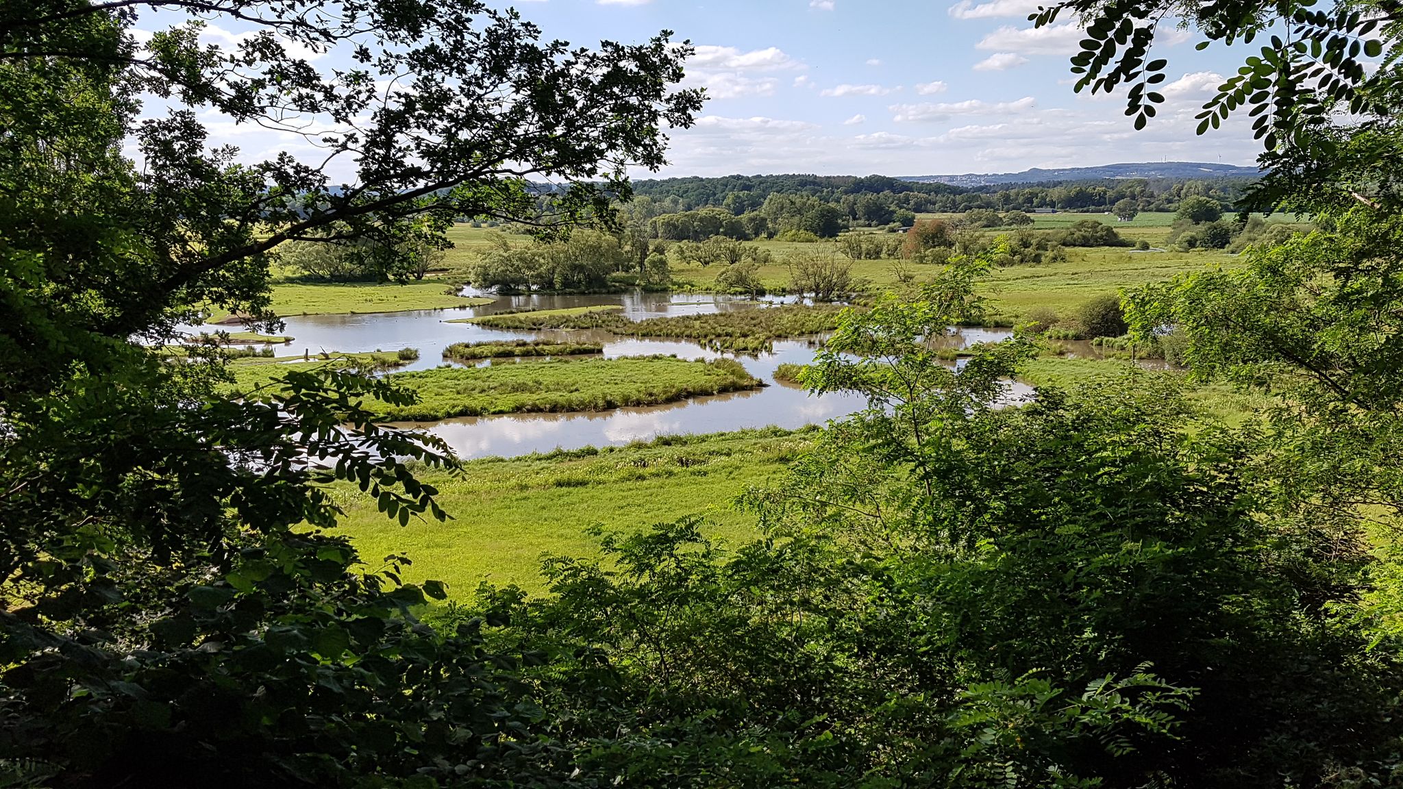
Mountaineering in Naturpark Saar-Hunsrück offers diverse terrain across its expansive landscape, characterized by the elevated Hunsrück mountains and deeply carved river valleys of the Moselle, Saar, Ruwer, and Nahe. The region features magnificent cliff and rock formations composed of shell limestone, red sandstone, and slate, providing challenging and visually interesting routes. Extensive woodlands, species-rich meadows, and idyllic brooks further define the natural environment, offering varied experiences for mountaineers.
Best mountaineering routes in Naturpark Saar-Hunsrück
- The most popular mountaineering route is…
Last updated: May 21, 2026
3.0
(1)
3
hikers
8.78km
02:46
320m
320m
Moderate mountaineering route. Good fitness required. Mostly accessible paths. Sure-footedness required.
4.5
(2)
14
hikers
4.15km
01:15
130m
130m
Easy mountaineering route. Great for any fitness level. Easily-accessible paths. Suitable for all skill levels.

Sign up for free
5.0
(3)
9
hikers
12.8km
03:55
400m
400m
Hard mountaineering route. Good fitness required. Sure-footedness, sturdy shoes and alpine experience required.
5.0
(1)
1
hikers
5.34km
01:33
140m
140m
Easy mountaineering route. Great for any fitness level. Easily-accessible paths. Suitable for all skill levels.
Our route recommendations are based on thousands of hikes, rides, and runs completed by other people on komoot.
Start today with a free account
Your next adventure awaits.
Login or Signup
Popular around Naturpark Saar-Hunsrück
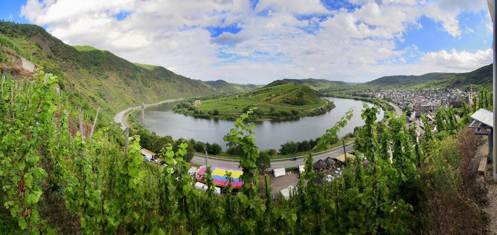
The Moselle cycle path — from the Vosges to the Rhine in 18 stages
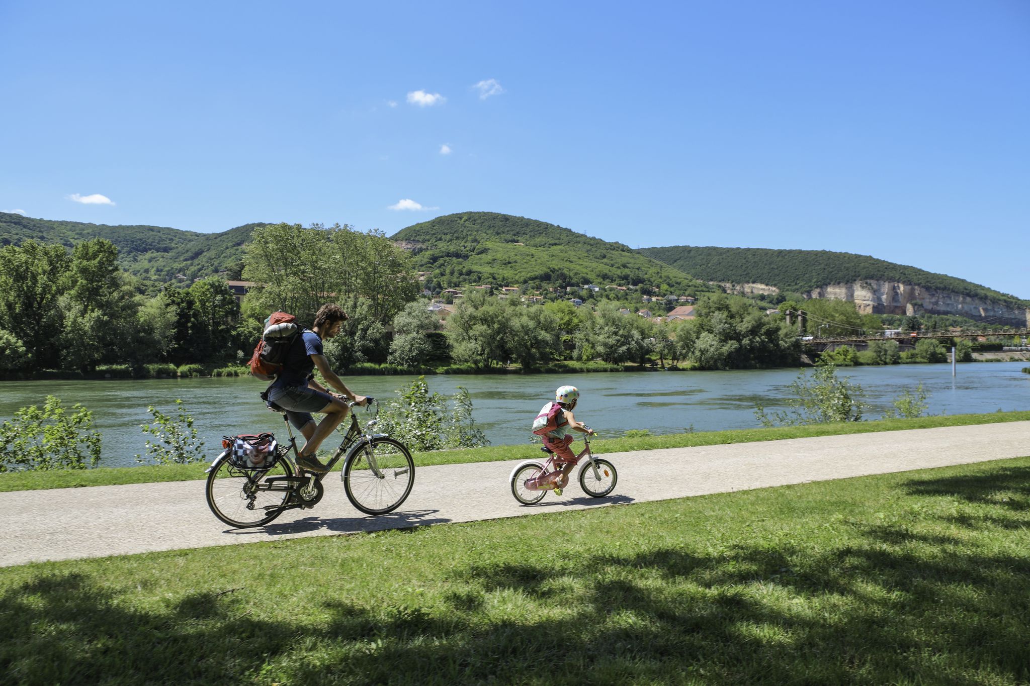
The Voie Bleue – Moselle-Saône by bike

Saar-Hunsrück Climb – Hike in Germany where culture and nature meet
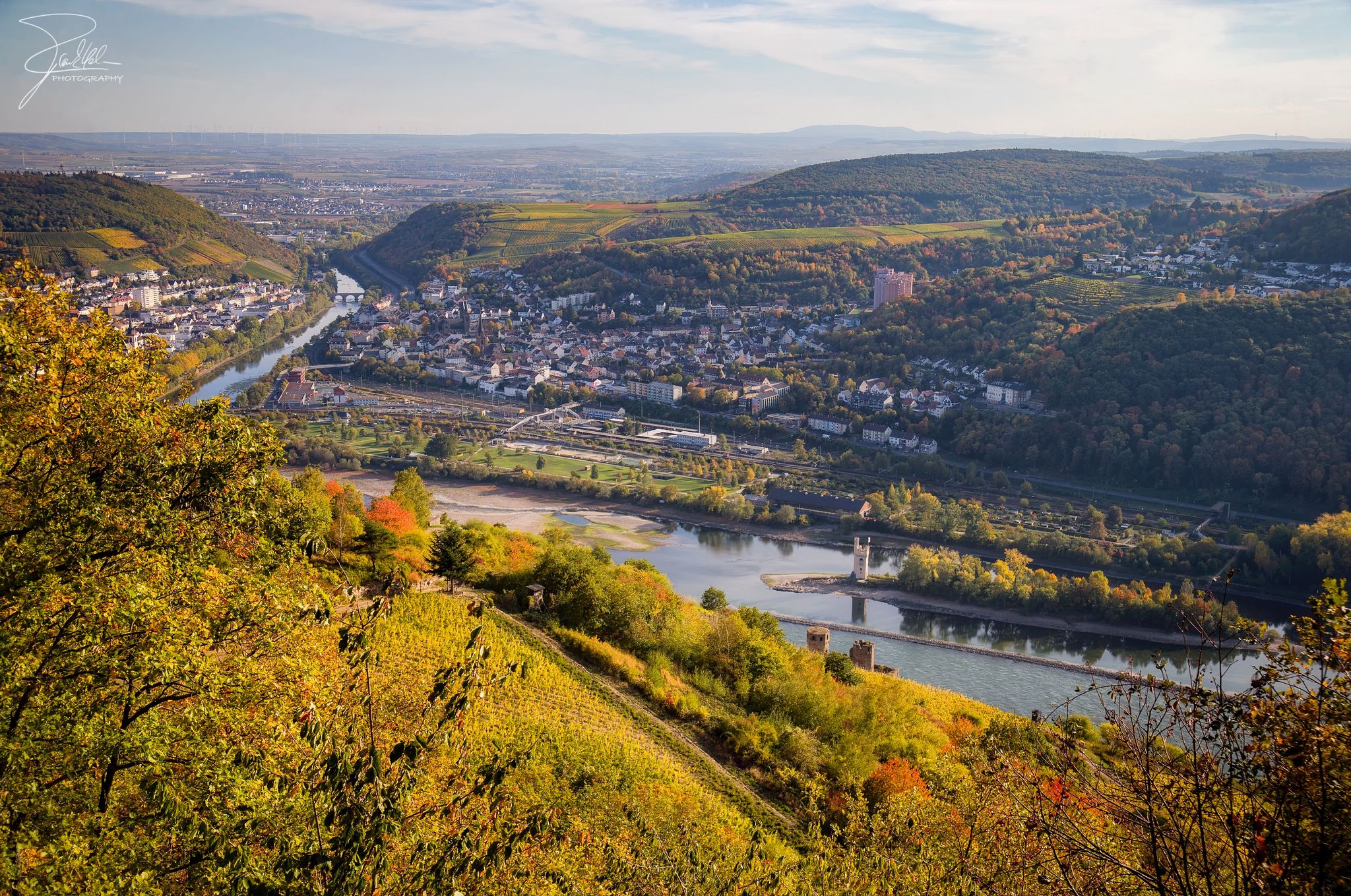
The Nahe Cycle Path – Between Rocks and Vines
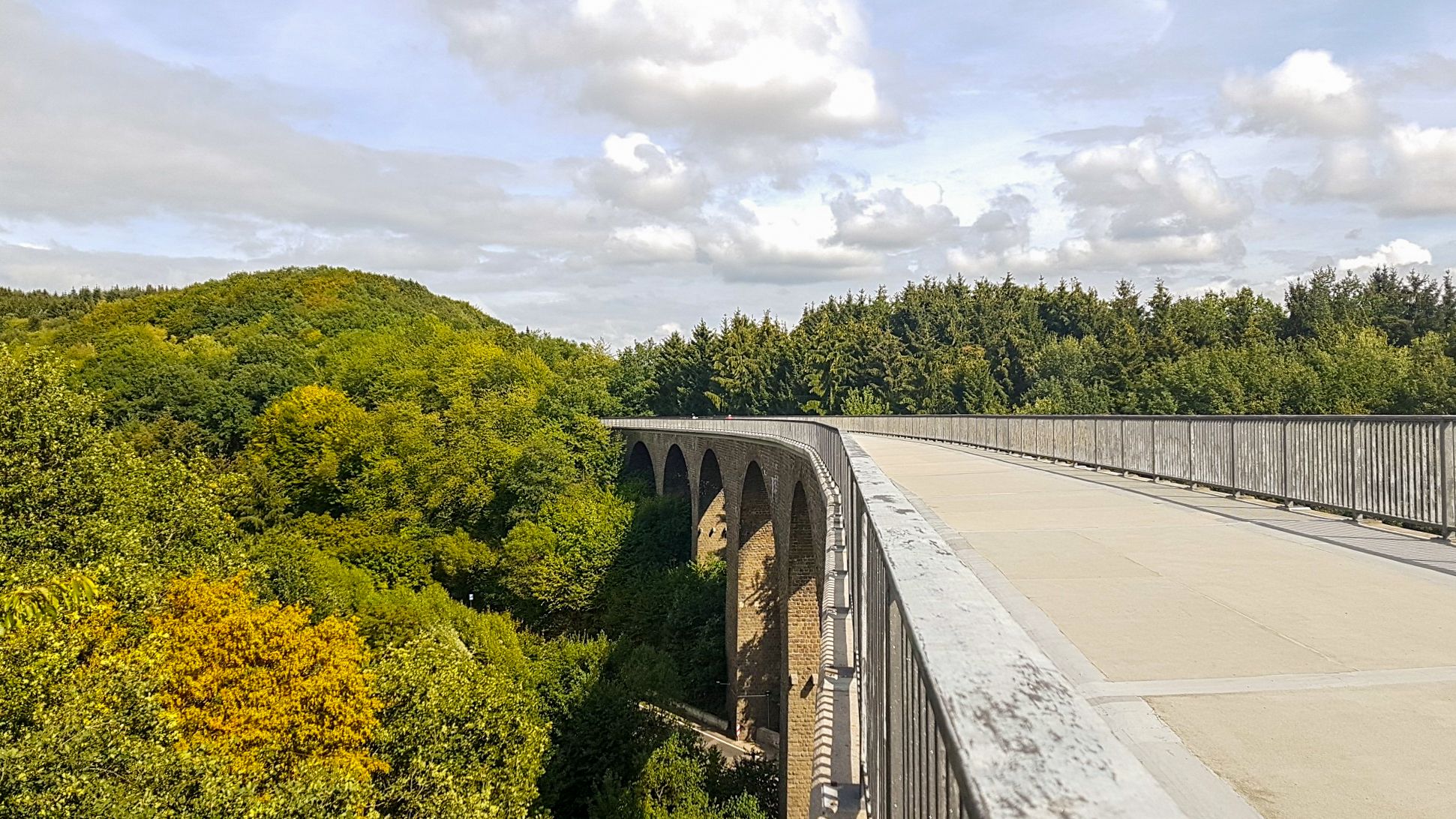
Saarland Cycle Path — Small country, big tour on 7 stages
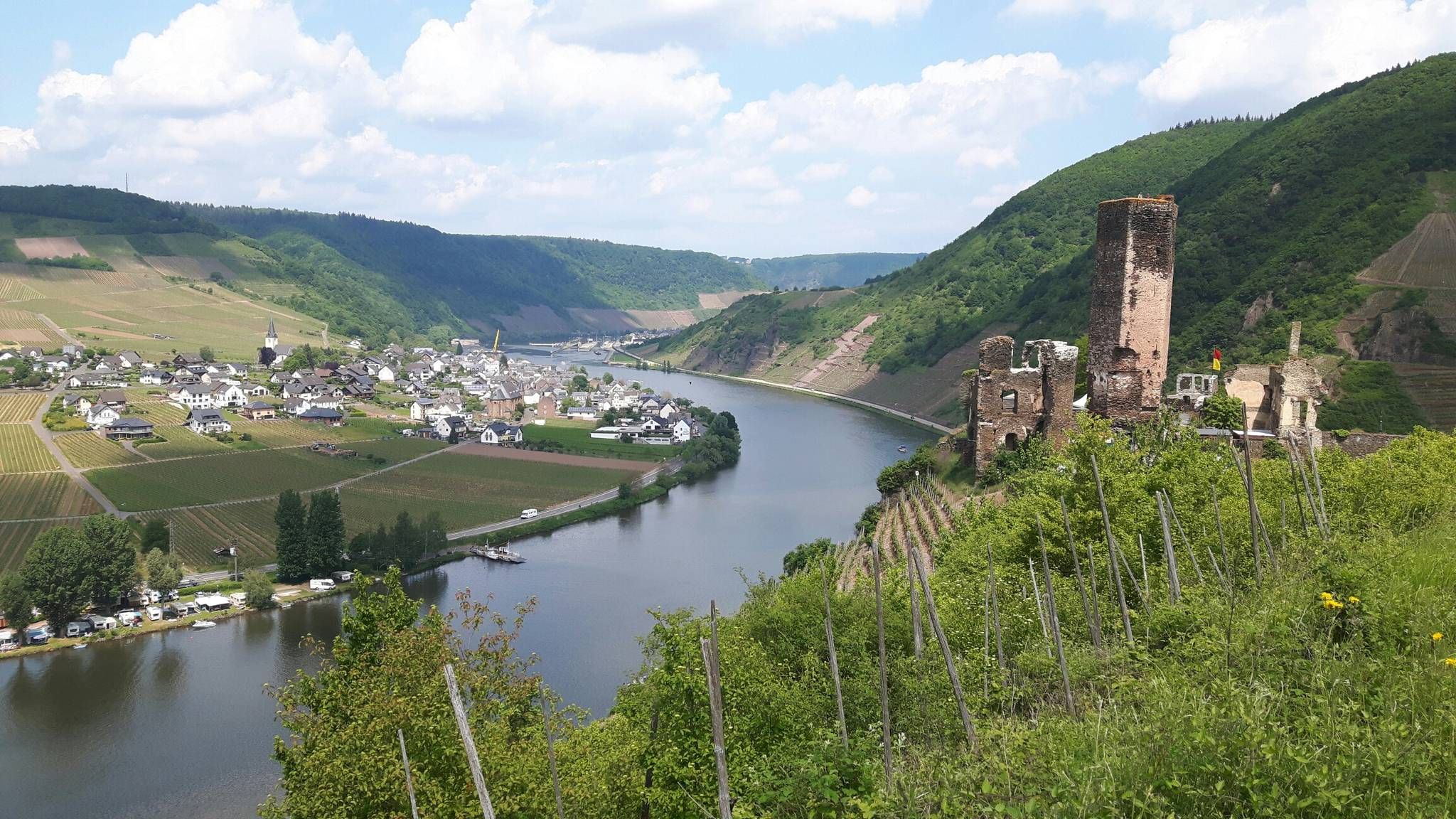
The Moselsteig trail – 24 stages along the sunny Moselle Valley
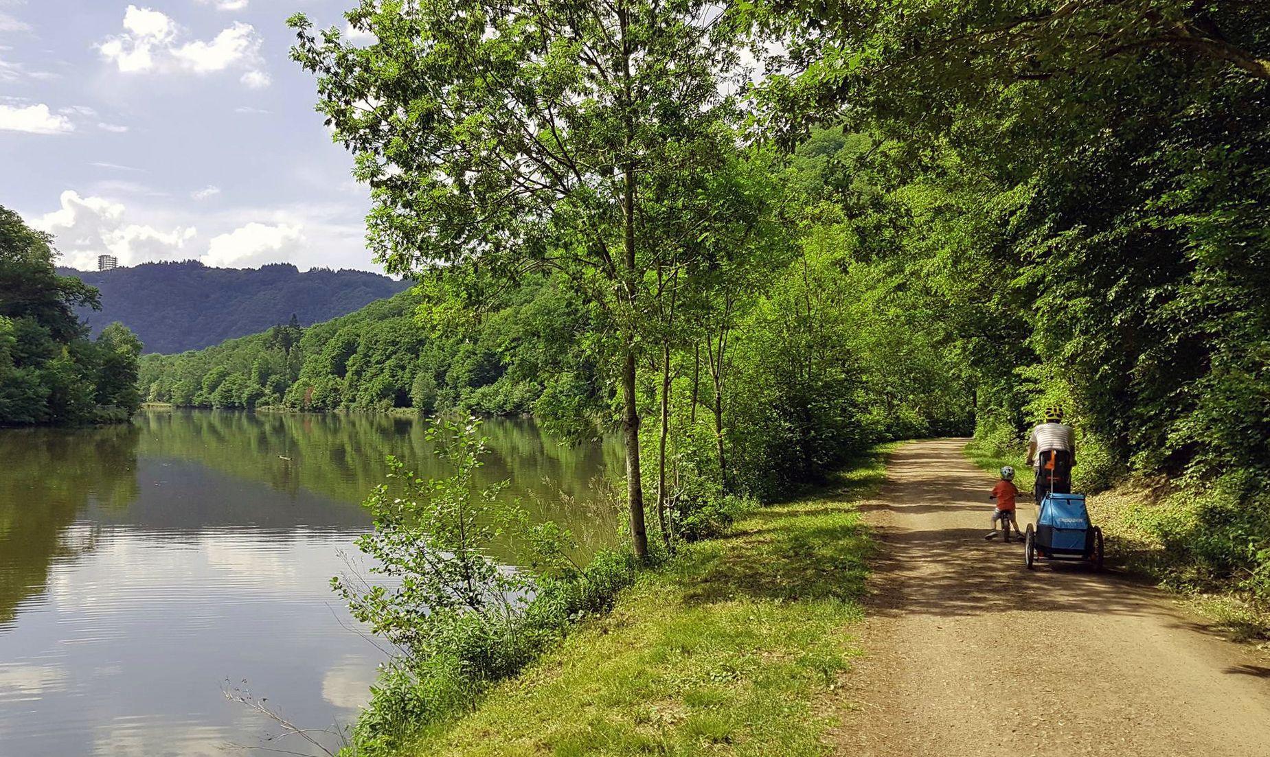
Saar Cycle Route — through the Saarland to the Moselle
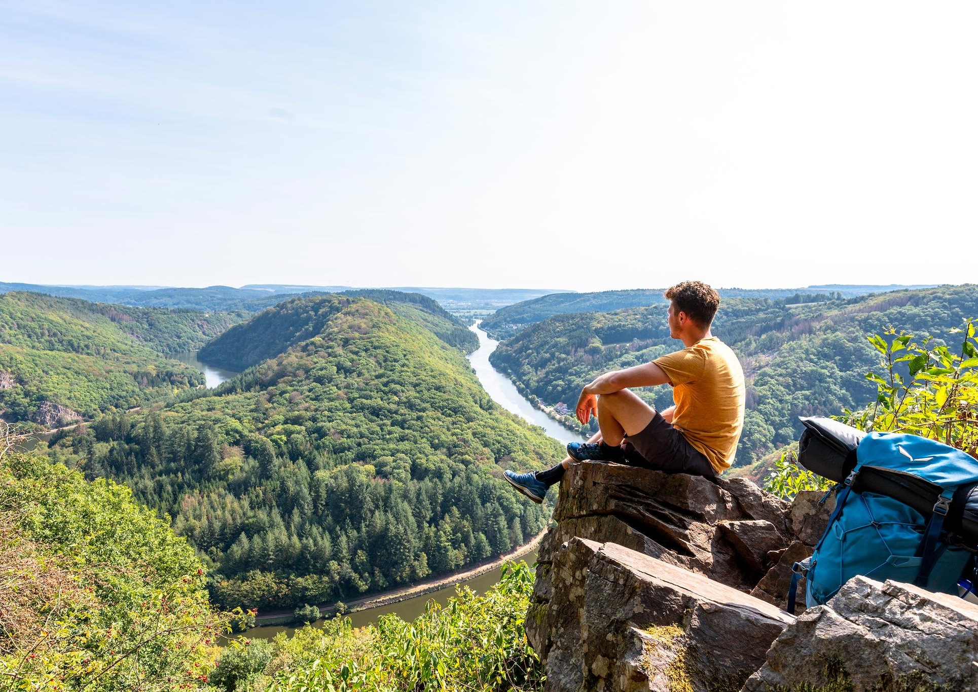
So close, so diverse – the most beautiful hikes in Saarland
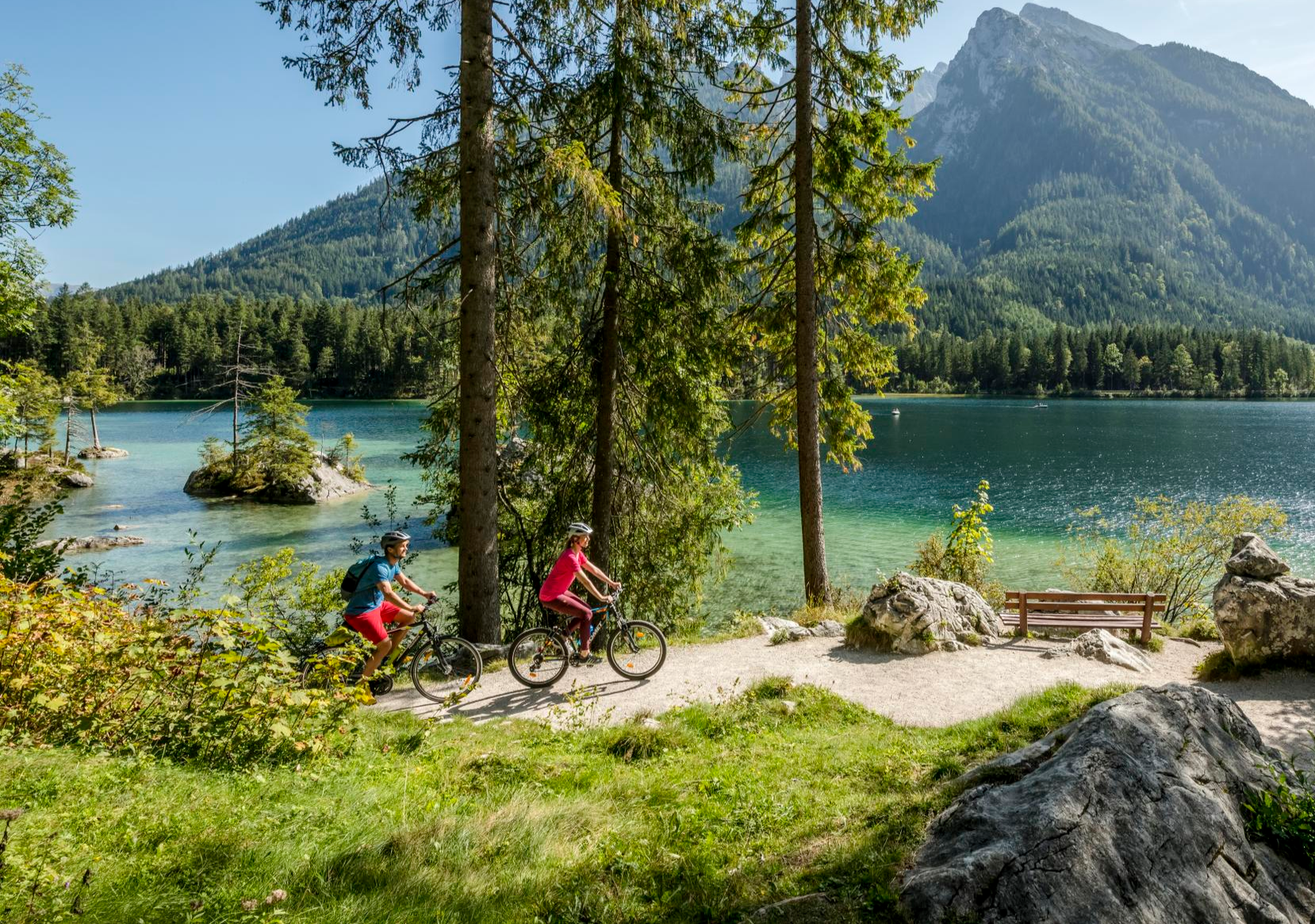
Discover Germany's diversity on enchanting cycling routes
The National Natural Landscapes in Saarland
Other adventures in Naturpark Saar-Hunsrück


Tips from the Community

The "Long Wall" enclosed an area of approximately 220 square kilometers north of Trier on both sides of the Kyll River, extending 28 km in a north-south direction and up to 12 km in an east-west direction.
7
0

Dreamlike paths with bizarre sandstone formations and beautiful viewpoints.
0
0
The ascent to the Saar Polygon is closed until the end of August 2025 due to an event.
1
0

very impressive rock with a height of 36m
0
0

Even today, blocks of stone with Roman numerals and inscriptions can be found in the mine. It is believed that quarrying continued into the 3rd century, as a coin of Emperor Maximinus Thrax was found in the tunnel. Much later, in the 18th century, the search for ore and copper resumed using state-of-the-art blasting techniques, creating new tunnels approximately 114 meters deep. However, the main tunnel collapsed during this process. Source: https://eifelfuehrer.de/touristische-ziele/geschichtliche-zeugnisse/puetzloecher
9
0
The Roman copper mine "Pützlöcher," located between Kordel and Butzweiler, is one of the oldest in Germany and means "waterhole." Here, in the 2nd century, ores such as malachite and azurite were mined at a depth of 20 meters. However, these ores were not found in large deposits, so the Romans later focused on the nearby quarry. The stones from this quarry were used, among other things, for the construction of the Porta Nigra. Source: https://eifelfuehrer.de/touristische-ziele/geschichtliche-zeugnisse/puetzloecher
9
0

Frequently Asked Questions
What types of terrain can I expect on mountaineering routes in Naturpark Saar-Hunsrück?
The Naturpark Saar-Hunsrück offers a varied landscape for mountaineering, ranging from the elevated Hunsrück mountains to deeply carved river valleys like those of the Moselle, Saar, Ruwer, and Nahe. You'll encounter magnificent cliff and rock formations, extensive woodlands, species-rich meadows, and idyllic brooks, providing a diverse and engaging experience.
Are there any easy mountaineering routes suitable for beginners in Naturpark Saar-Hunsrück?
Yes, there is at least one easy mountaineering route available. For example, the Duhamel Hill – Saarpolygon on Halde Duhamel loop from Fraulautern is an easy 4.1 km (2.5 miles) path, typically completed in about 1 hour 15 minutes, offering a gentle introduction to the region's trails.
What are some notable natural attractions or viewpoints along the mountaineering routes?
Many routes offer stunning natural sights. The iconic Saarschleife (Saar Loop) is a must-see, particularly from the Cloef viewpoint, which you can experience on the Orkelsfels – Saarschleife / Cloef loop from Orscholz. The park also features unique rock formations, such as those found on the Runder Turm Rock Formation – Altfels loop from Kastel-Staadt.
Can I find circular mountaineering routes in Naturpark Saar-Hunsrück?
Yes, many of the mountaineering routes in Naturpark Saar-Hunsrück are designed as circular loops, allowing you to start and end at the same point. Examples include the Orkelsfels – Saarschleife / Cloef loop from Orscholz and the Ave Maria Chapel – TÜV Trail on the Kondeler Bach loop from Beckingen (Saar).
What do other mountaineers enjoy most about the routes in Naturpark Saar-Hunsrück?
The routes in Naturpark Saar-Hunsrück are highly rated by the komoot community, with an average score of 4.4 stars. Mountaineers often praise the diverse terrain, the striking cliff and rock formations, and the scenic views, especially those overlooking the Saar Loop.
Are there any waterfalls I can visit near the mountaineering trails?
Yes, the region is home to several beautiful waterfalls. You can explore the Saarburg Waterfall (Leukbach Falls) or the Saarburg Waterfall and the Hackenberger Mill Wheels. These are often found in picturesque settings, sometimes integrated with charming old towns.
Are there any lakes accessible from the mountaineering routes?
The Naturpark Saar-Hunsrück features several lakes that can be visited. Notable options include the Losheim Reservoir, Keller Reservoir, and Noswendeler Lake, offering serene environments and often opportunities for other outdoor activities.
What is the best time of year for mountaineering in Naturpark Saar-Hunsrück?
The diverse landscape of Naturpark Saar-Hunsrück makes it suitable for mountaineering across multiple seasons. Spring brings blooming meadows, summer offers lush forests, and autumn provides stunning fall foliage. While the region is not known for technical winter mountaineering, many trails remain accessible for hiking in milder winter conditions.
Are there any longer, more challenging mountaineering options available?
While the listed routes are primarily moderate, the region is part of the larger Saar-Hunsrück-Steig network, a premium long-distance hiking trail. This trail, along with numerous 'Dream Loops,' offers more extensive and challenging options for experienced hikers looking to cover longer distances and varied terrain within the park.
What kind of natural features define the mountaineering experience in this region?
Mountaineering in Naturpark Saar-Hunsrück is characterized by its unique geological formations, including shell limestone, red sandstone, and slate cliffs. The routes often traverse extensive woodlands, species-rich meadows, and follow idyllic brooks, providing a rich natural environment for exploration.
Are there any routes that pass through dense forests?
Yes, many routes in Naturpark Saar-Hunsrück lead through dense and extensive forests. For example, the Thick Oak – Bench at the Forest Playground loop from Schmelz offers a significant portion through woodlands, providing a shaded and immersive forest experience.
Most popular routes in Naturpark Saar-Hunsrück
Most popular attractions in Naturpark Saar-Hunsrück

Get inspired with the komoot mobile app


Explore more
Browse the best Mountain Hikes & Routes in other regions.
