Tal- Und Hangbereiche Der Wupper Mit Seitenbächen
Tal- Und Hangbereiche Der Wupper Mit Seitenbächen
The best mountain hikes in Tal- Und Hangbereiche Der Wupper Mit Seitenbächen
5.0
(5)
10
hikers
5
hikes
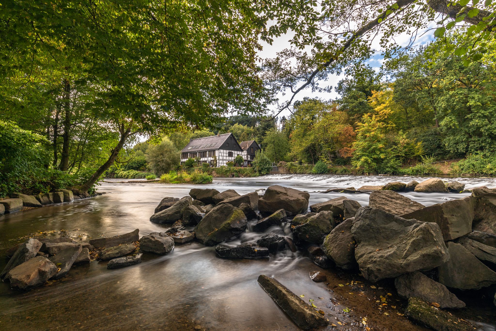
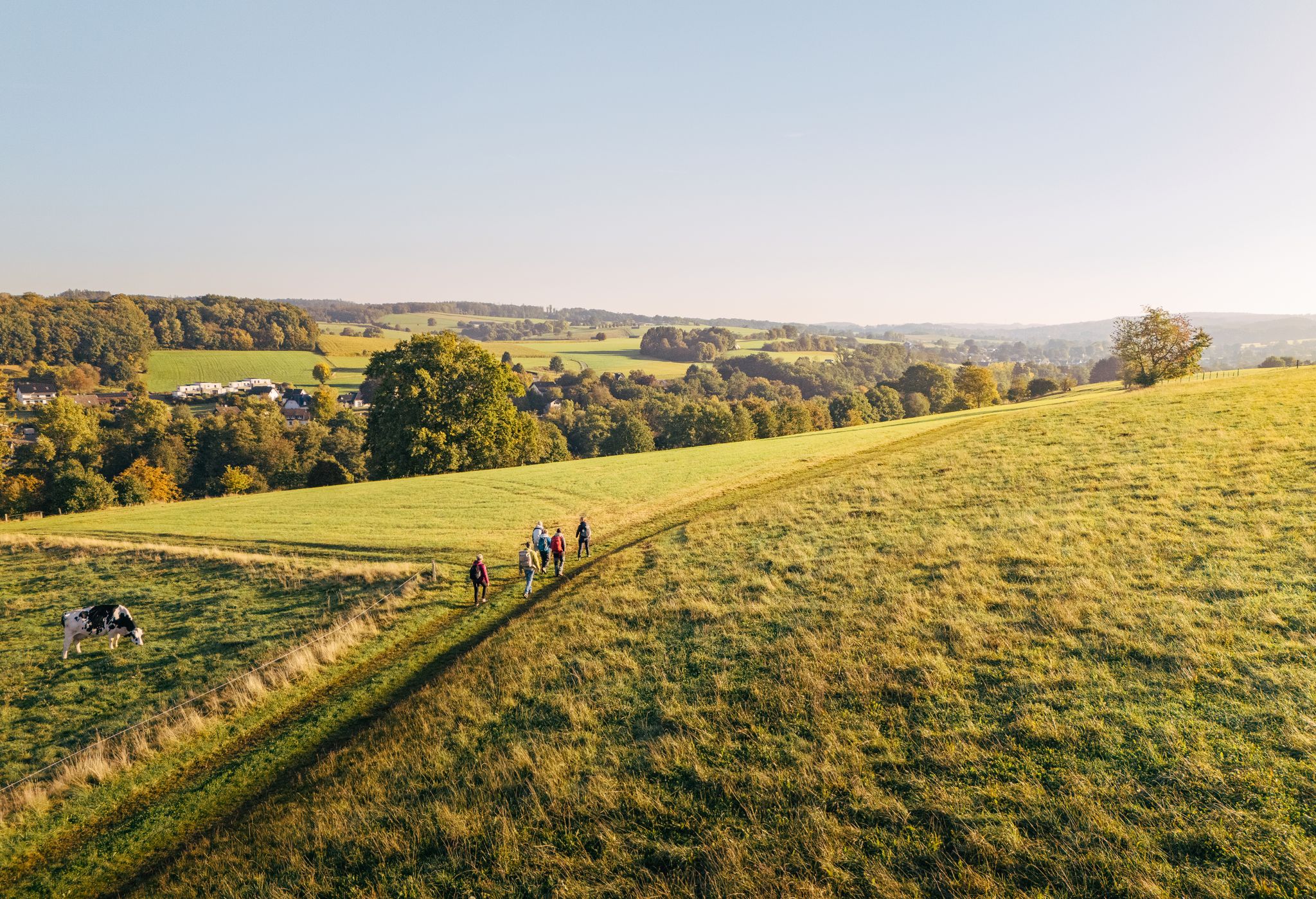
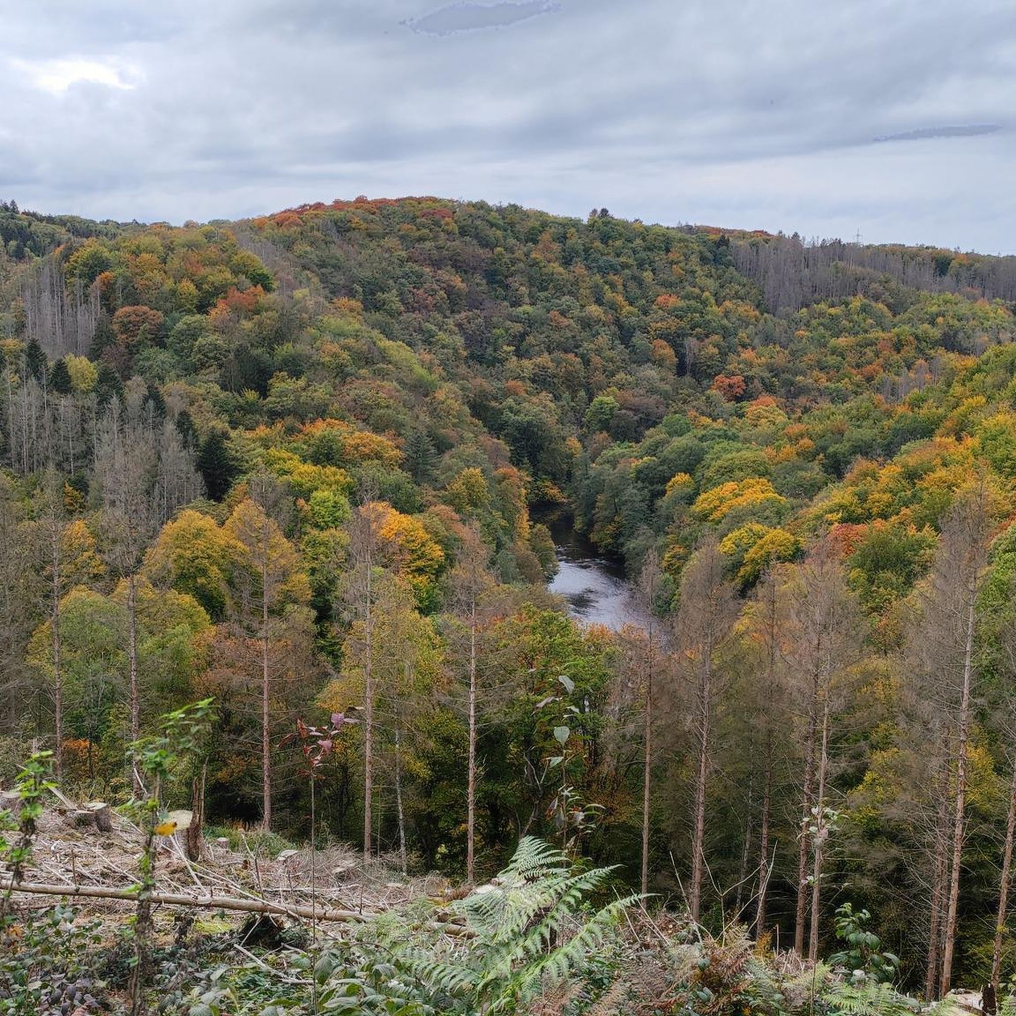
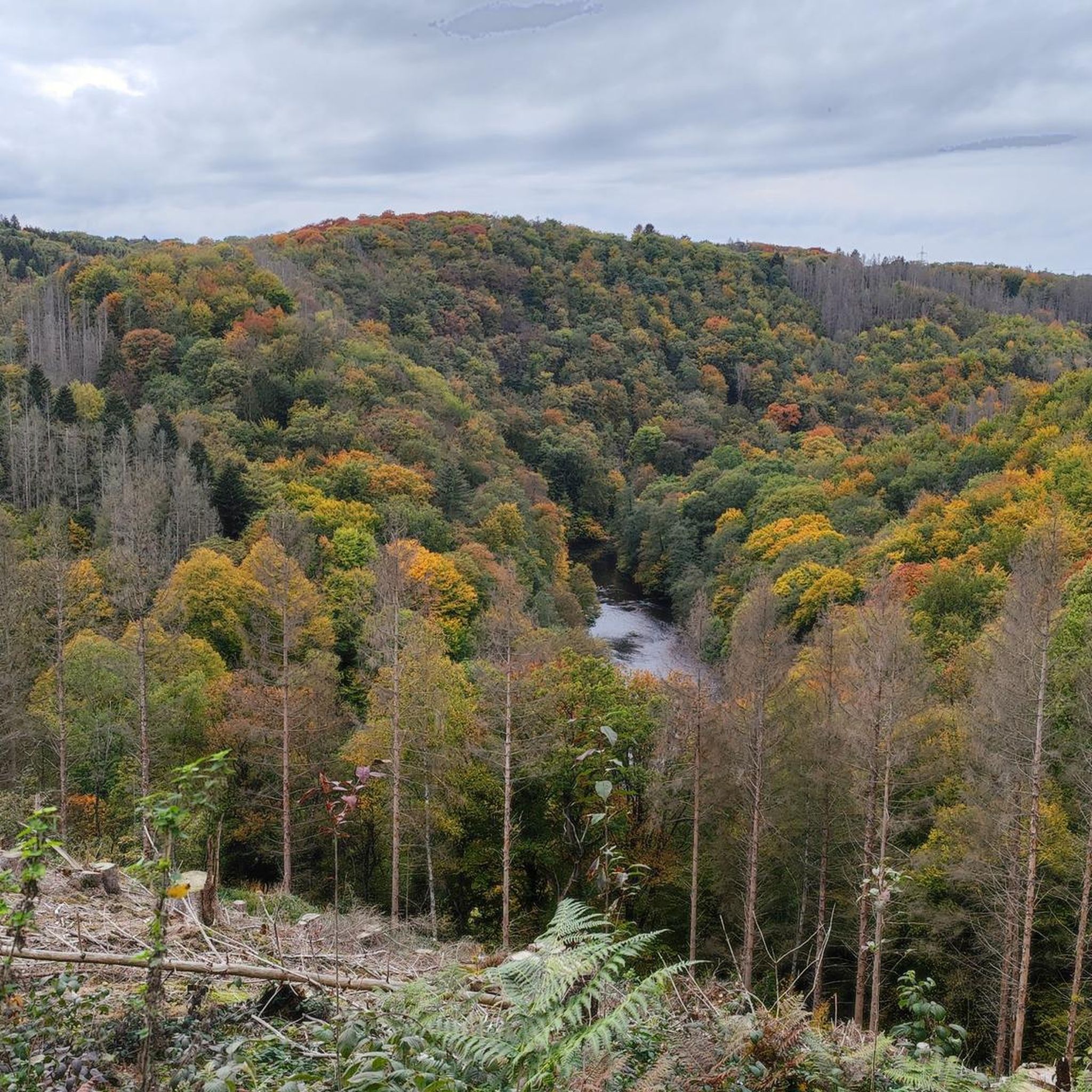
Mountaineering routes in Tal- und Hangbereiche der Wupper are characterized by the varied terrain of the Wupper river valley and its surrounding slopes and side streams. The landscape features a mix of forested areas, open hillsides, and water features, providing diverse environments for exploration. Elevations are generally moderate, with routes navigating the contours of the valley and its tributaries.
Best mountaineering routes in Tal- Und Hangbereiche Der Wupper Mit Seitenbächen
- The most popular mountaineering route is Sengbach Reservoir – Burg…
Last updated: October 6, 2026
4
hikers
18.3km
05:15
430m
430m
Hard mountaineering route. Very good fitness required. Easily-accessible paths. Suitable for all skill levels.
Moderate mountaineering route. Good fitness required. Mostly accessible paths. Sure-footedness required.

5.0
(2)
2
hikers
Moderate mountaineering route. Good fitness required. Easily-accessible paths. Suitable for all skill levels.
5.0
(2)
2
hikers
Hard mountaineering route. Very good fitness required. Easily-accessible paths. Suitable for all skill levels.
1
hikers
10.3km
02:46
130m
130m
Moderate mountaineering route. Good fitness required. Easily-accessible paths. Suitable for all skill levels.
Our route recommendations are based on thousands of hikes, rides, and runs completed by other people on komoot.
Start today with a free account
Your next adventure awaits.
Popular around Tal- Und Hangbereiche Der Wupper Mit Seitenbächen
Wupper Trail – On the gentle part through Germany's Bergisches Land
"Wunderschön" through the Bergisches Land – on the trail of the WDR show
Klingenpfad (Solingen)
The Bergische Weg - Germany's most beautiful hiking trail 2024
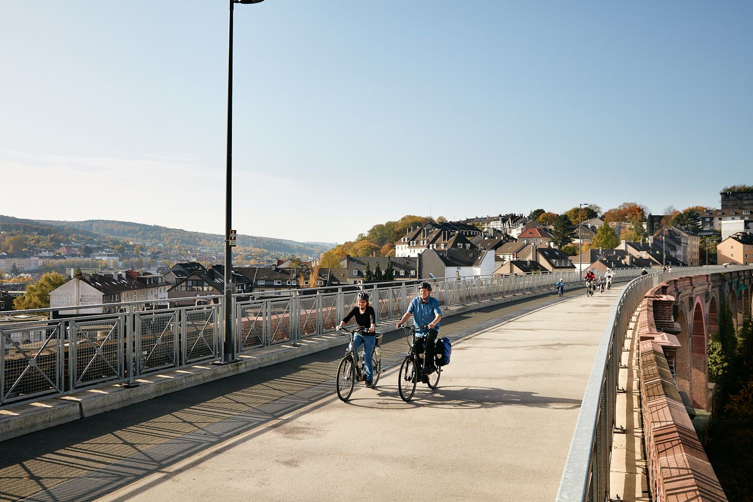
Railway lines & industrial heritage – Cycling through the Bergisches Land
Hiking in Tal- Und Hangbereiche Der Wupper Mit Seitenbächen
Road Cycling Routes in Tal- Und Hangbereiche Der Wupper Mit Seitenbächen
Cycling in Tal- Und Hangbereiche Der Wupper Mit Seitenbächen
Running Trails in Tal- Und Hangbereiche Der Wupper Mit Seitenbächen
MTB Trails in Tal- Und Hangbereiche Der Wupper Mit Seitenbächen
Other adventures in Tal- Und Hangbereiche Der Wupper Mit Seitenbächen


Tips from the Community

The Witzhelden Forest Nature Trail was established in 1965. It is an approximately 5 km long circular route with numerous information panels about the individual plants. The nature trail can easily be combined with the Witzhelden Fruit Trail for a hike around Witzhelden.
1
0

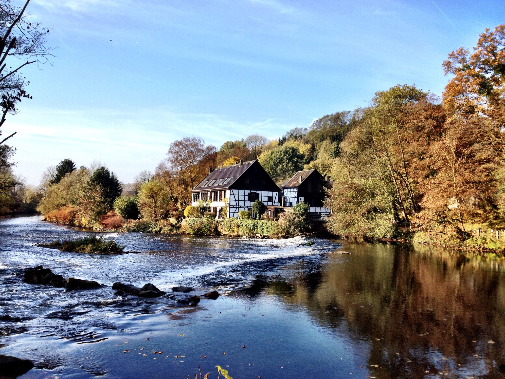
Interesting what the Komoot AI does with highlight names. I think this river in the Bergisches Land is called the Wupper... 🤔
0
0

simply to enjoy
0
0

I haven't been there in a long time.
1
1


Great break area with nice seating. There is even a bar for riders where they can tie up their horses.
1
0

Indications of the direction to go, with distance indication
2
1

Frequently Asked Questions
What are the typical difficulty levels for mountaineering routes in Tal- Und Hangbereiche Der Wupper Mit Seitenbächen?
The mountaineering routes in this region are generally moderate to difficult. You'll find a good mix, with 3 moderate routes and 2 difficult routes available. There are no easy routes specifically categorized for mountaineering in this area.
Are there any circular mountaineering routes in the Wupper valley?
Yes, all the mountaineering routes listed for Tal- Und Hangbereiche Der Wupper Mit Seitenbächen are circular. For example, you can explore the challenging Sengbach Reservoir – Burg Castle loop from Burg or the moderate Schloss Burg – Fluchtburg Heidenkeller loop from Burg.
What is the best time of year for mountaineering in Tal- Und Hangbereiche Der Wupper Mit Seitenbächen?
The Wupper valley and its surrounding areas are beautiful year-round. Spring and autumn offer pleasant temperatures and vibrant scenery, while summer is ideal for longer days. Winter mountaineering is possible, but be prepared for potentially muddy or icy conditions, especially on shaded slopes, and always check local weather forecasts.
Are there any family-friendly mountaineering options in the Wupper valley?
While all routes are rated moderate to difficult, families with older children or those accustomed to longer walks might enjoy the moderate routes. The Witzhelden Forest Nature Trail – View of the Sengbach Reservoir loop from Witzhelden, at 11.0 km, offers varied scenery and views, which could be a rewarding option for active families.
Can I bring my dog on the mountaineering trails in Tal- Und Hangbereiche Der Wupper Mit Seitenbächen?
Many trails in the Wupper valley region are dog-friendly, but it's always best to check specific local regulations or nature reserve rules. Generally, dogs should be kept on a leash, especially in forested areas or near wildlife. Ensure your dog is fit enough for the moderate to difficult terrain and carry enough water for both of you.
What kind of views or landmarks can I expect along the mountaineering routes?
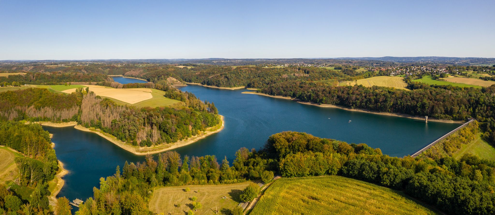
The routes offer diverse scenery, including the Wupper river valley, forested areas, and open hillsides. You'll encounter highlights like the historic Burg Castle and the scenic Sengbach Reservoir. While some highlights are bike-focused, the general area is rich with natural beauty and historical points of interest. For example, the Sengbach Reservoir – Burg Castle loop from Burg combines both natural and historical sights.
How long do the mountaineering routes typically take to complete?
The duration of the routes varies depending on their length and difficulty. For instance, the moderate Witzhelden Forest Nature Trail – View of the Sengbach Reservoir loop from Witzhelden can be completed in about 3 hours, while the more challenging Rheinbachteiche – Hahnerberg loop from Gelpe-Saalbach might take around 7 hours 28 minutes.
Are there any cafes or refreshment stops near the mountaineering routes?
The region around the Wupper valley, particularly near popular starting points like Burg or Witzhelden, offers various opportunities for refreshments. You'll find local eateries and cafes where you can refuel before or after your mountaineering adventure. It's always a good idea to check opening times in advance, especially in smaller villages.
What should I wear for mountaineering in the Wupper valley?
Given the varied terrain and potential for changing weather, it's advisable to wear sturdy, waterproof hiking boots with good ankle support. Layered clothing is recommended, including a waterproof and windproof outer shell. Even on shorter routes, carry water, snacks, and a basic first-aid kit. Trekking poles can be helpful on steeper sections.
What do other mountaineers enjoy most about the routes in Tal- Und Hangbereiche Der Wupper Mit Seitenbächen?
The area is highly rated by the komoot community, with an average score of 5.0 stars. Reviewers often praise the varied terrain, which includes a mix of forested areas, open hillsides, and water features, providing diverse environments for exploration. The well-maintained paths and scenic views are frequently highlighted.
Are there any beginner-friendly mountaineering routes in this region?
Currently, all listed mountaineering routes in Tal- Und Hangbereiche Der Wupper Mit Seitenbächen are categorized as moderate or difficult. There are no routes specifically designated as easy for mountaineering. Beginners should consider starting with the moderate routes, such as the Düssel River in the Neander Valley – Gruiten Dorf loop from Haan-Gruiten, which is 10.2 km long and takes about 2 hours 44 minutes, to gauge their comfort level.
Most popular routes in Tal- Und Hangbereiche Der Wupper Mit Seitenbächen
Most popular attractions in Tal- Und Hangbereiche Der Wupper Mit Seitenbächen

Get inspired with the komoot mobile app


Explore more
Browse the best Mountain Hikes & Routes in other regions.
