Dhünntal Und Linnefetal Mit Seitentälern
Dhünntal Und Linnefetal Mit Seitentälern
The best mountain hikes in Dhünntal Und Linnefetal Mit Seitentälern
4.3
(5)
11
hikers
5
hikes
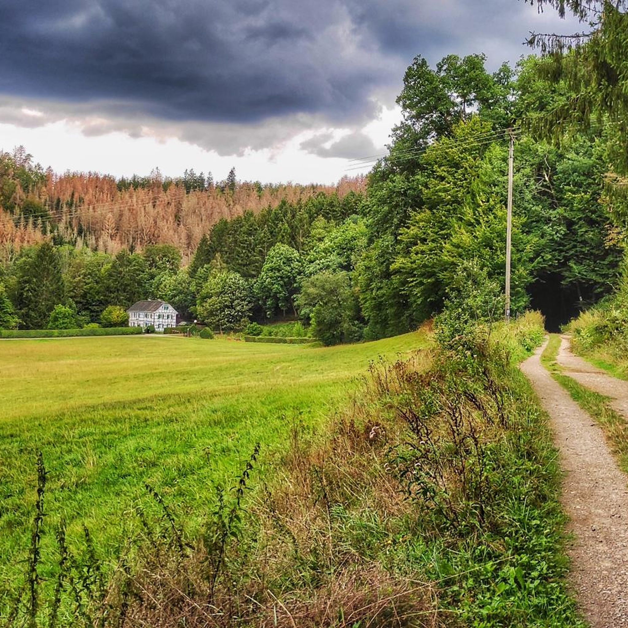
Mountaineering routes in Dhünntal Und Linnefetal Mit Seitentälern traverse a nature reserve characterized by natural stream valley systems, including the Dhünn and Linnefe rivers, along with numerous side valleys. The terrain features riparian forests, damp grasslands, and "Siefen" (spring-fed valleys). Rocky outcrops and remnants of heather add to the varied scenery, with the Dhünntalsperre (Dhünn Dam) providing a prominent landscape feature. The area offers demanding terrain with significant elevation changes and uneven paths, suitable for active nature enthusiasts.
Best mountaineering…
Last updated: July 2, 2026
5.0
(1)
1
hikers
Moderate mountaineering route. Good fitness required. Easily-accessible paths. Suitable for all skill levels.
3.0
(2)
4
hikers
12.3km
03:20
170m
170m
Moderate mountaineering route. Good fitness required. Easily-accessible paths. Suitable for all skill levels.

Sign up for free
Moderate mountaineering route. Good fitness required. Mostly accessible paths. Sure-footedness required.
4
hikers
18.3km
05:16
430m
430m
Hard mountaineering route. Very good fitness required. Easily-accessible paths. Suitable for all skill levels.
5.0
(2)
2
hikers
Moderate mountaineering route. Good fitness required. Easily-accessible paths. Suitable for all skill levels.
Our route recommendations are based on thousands of hikes, rides, and runs completed by other people on komoot.
Start today with a free account
Your next adventure awaits.
Login or Signup
Popular around Dhünntal Und Linnefetal Mit Seitentälern
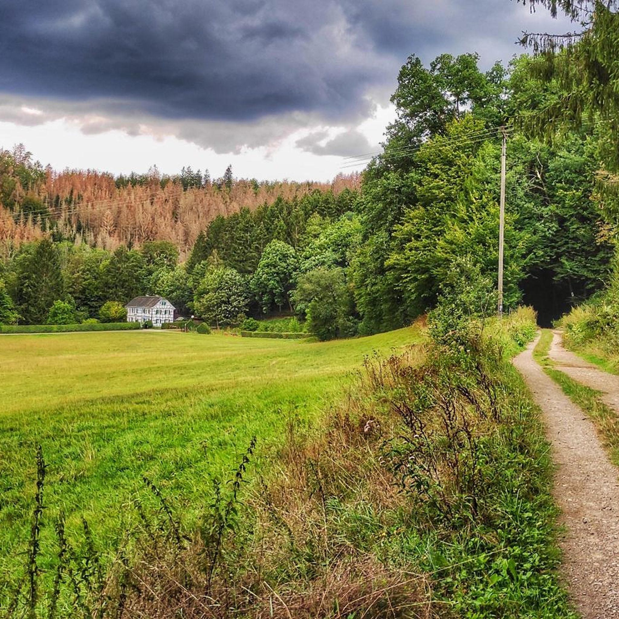
Hiking in Dhünntal Und Linnefetal Mit Seitentälern
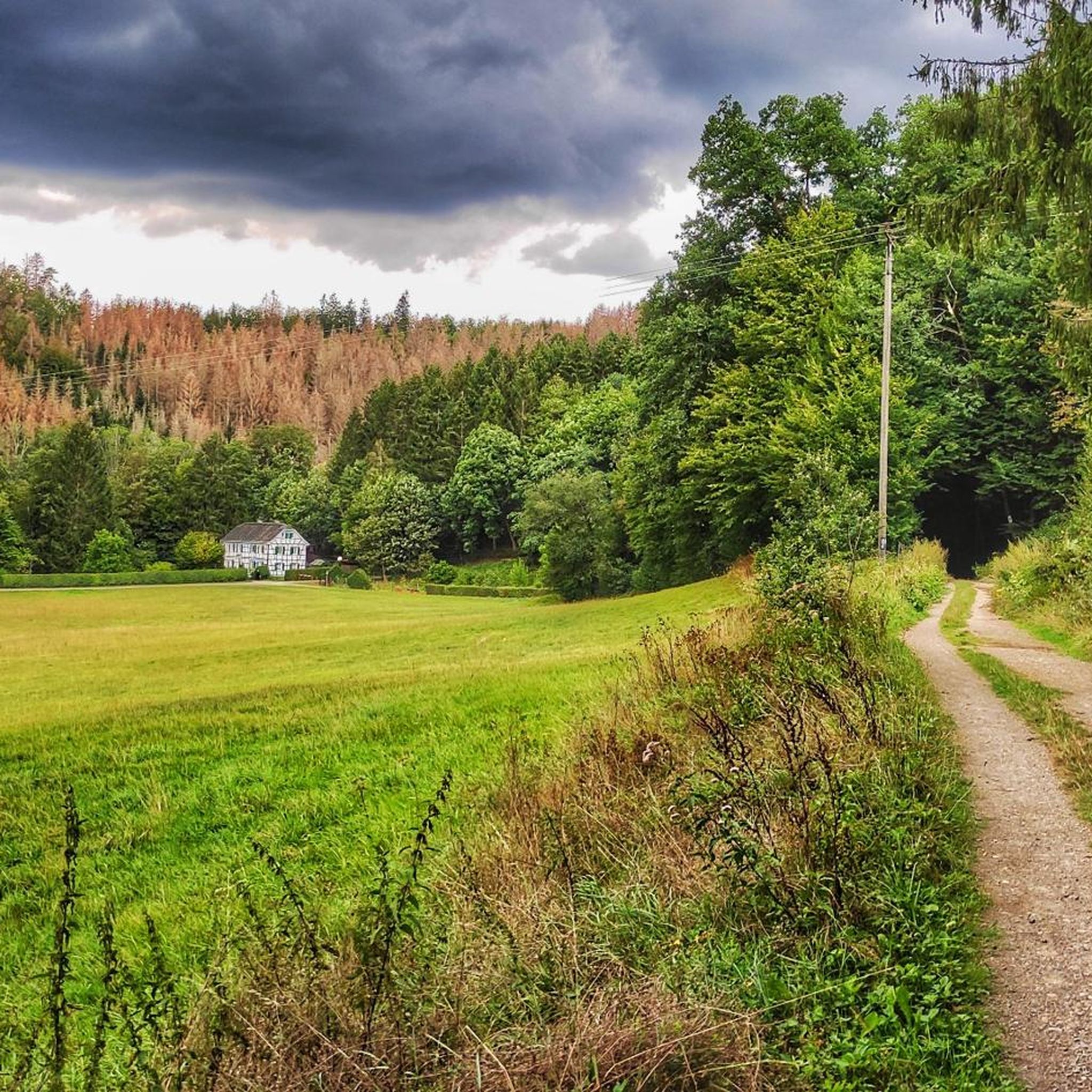
MTB Trails in Dhünntal Und Linnefetal Mit Seitentälern
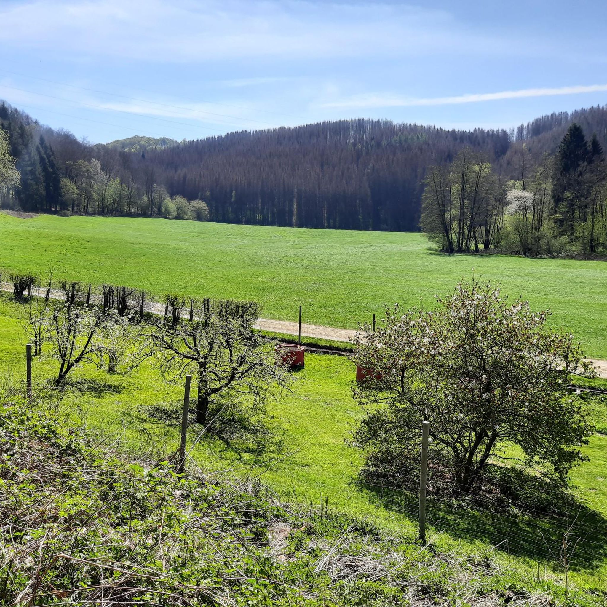
Cycling in Dhünntal Und Linnefetal Mit Seitentälern
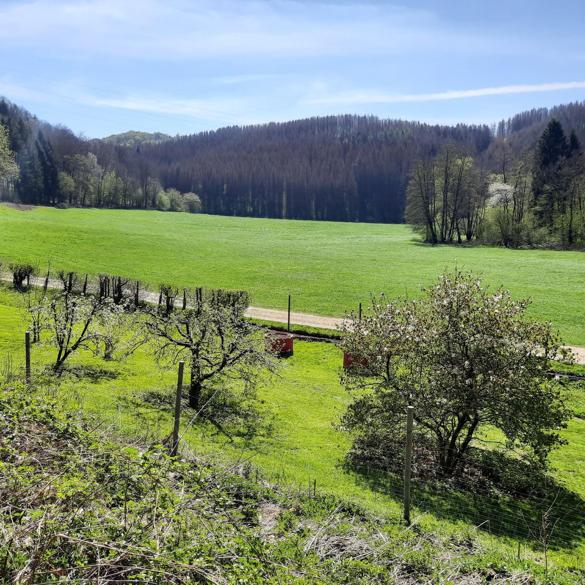
Running Trails in Dhünntal Und Linnefetal Mit Seitentälern
Road Cycling Routes in Dhünntal Und Linnefetal Mit Seitentälern
Gravel biking in Dhünntal Und Linnefetal Mit Seitentälern
Tips from the Community

The Witzhelden Forest Nature Trail was established in 1965. It is an approximately 5 km long circular route with numerous information panels about the individual plants. The nature trail can easily be combined with the Witzhelden Fruit Trail for a hike around Witzhelden.
0
0

The dam is largely closed, but you might be lucky enough to see the resident eagle flying here.
1
0

Nice jump - with enough speed you can really take off here (someone should be careful not to cut off anyone else's right of way).
0
0


I haven't been there in a long time.
1
1


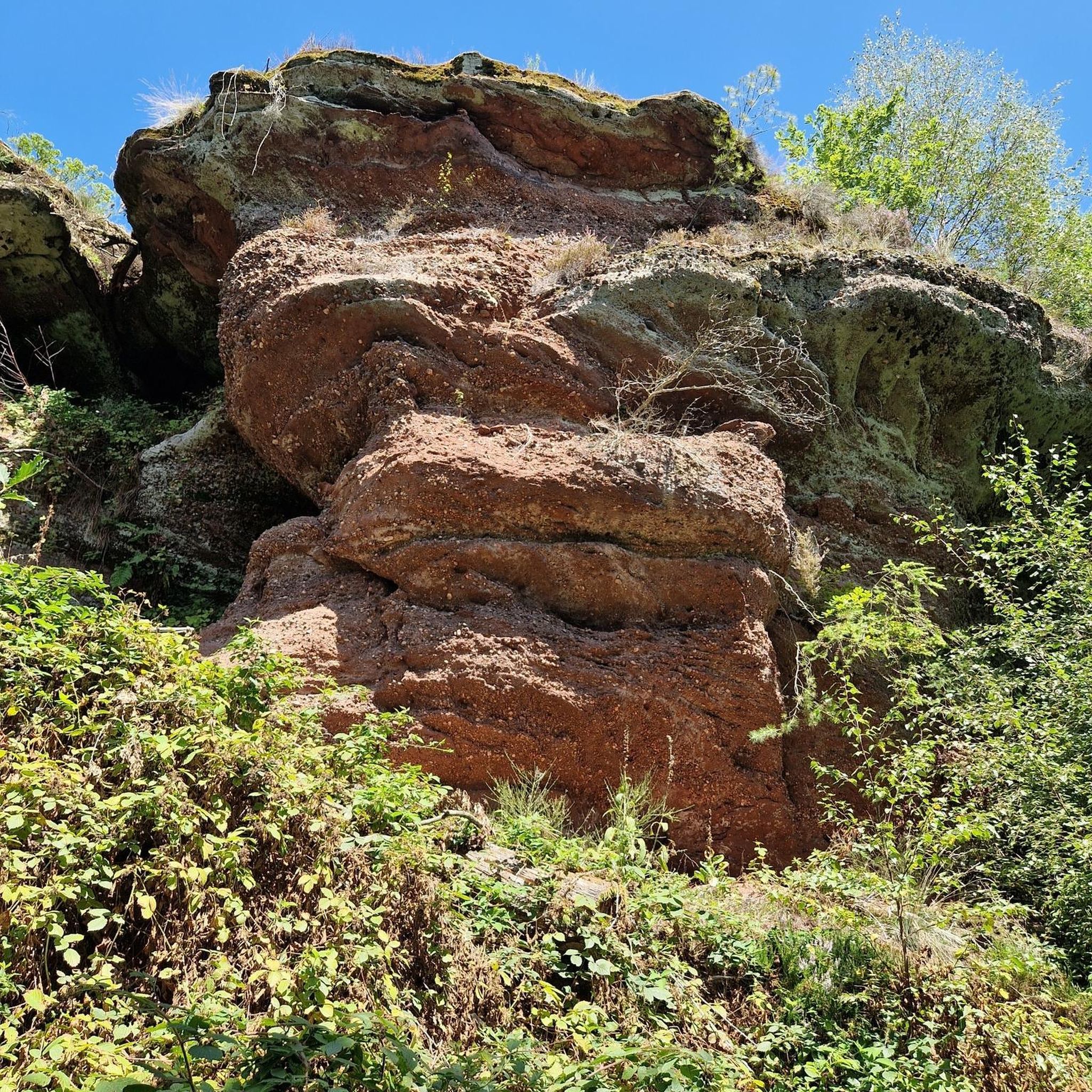
Rock formation on the Wupper. The path starts at the Glüder mini golf course car park towards Stroner Bridge.
0
0
Frequently Asked Questions
What kind of terrain can I expect on mountaineering routes in Dhünntal Und Linnefetal Mit Seitentälern?
The region features natural stream valley systems, including the Dhünn and Linnefe rivers, with extensive riparian forests, damp grasslands, and unique 'Siefen' (spring-fed valleys). You'll encounter varied scenery with rocky outcrops and remnants of heather, and the prominent Dhünntalsperre (Dhünn Dam) offers scenic views. The terrain can be demanding, involving significant elevation changes and potentially uneven or rocky paths, typical of the 'Bergische Landschaft'.
Are there any challenging mountaineering routes for experienced hikers?
Yes, while many routes are moderate, the area does offer more challenging options. For instance, the Sengbach Reservoir – Burg Castle loop from Burg is classified as difficult, covering 11.4 miles (18.3 km) with over 430 meters of elevation gain. This route requires sure-footedness and sturdy shoes.
What are the typical durations for mountaineering routes in this region?
Route durations vary depending on length and difficulty. You can find routes ranging from approximately 2 hours, like the Große Dhünn pre-dam – View of Dhünn Reservoir loop from Große Dhünntalsperre (4.3 miles), to longer excursions of over 5 hours, such as the difficult Sengbach Reservoir – Burg Castle loop from Burg.
Are there any circular mountaineering routes available?
Yes, many of the mountaineering routes in Dhünntal Und Linnefetal Mit Seitentälern are designed as circular paths, allowing you to start and end at the same point. Examples include the View of the Dhünn Reservoir – Große Dhünn Reservoir loop from Kürten and the Schloss Burg – Fluchtburg Heidenkeller loop from Burg.
What points of interest can I discover along the mountaineering trails?
The routes often lead past significant natural and historical features. You can explore highlights such as the Stone Archway on the Dhünnradweg, the Rapids and ruins of the former gunpowder mill on the Dhünn, or the serene Spring Fountain on the Dhünn. The Confluence of the Eifgenbach and the Dhünn is another notable natural monument.
What do other mountaineers say about the routes in Dhünntal Und Linnefetal Mit Seitentälern?
The routes are highly rated by the komoot community, with an average score of 4.3 stars from over 4 reviews. Mountaineers often praise the varied landscapes, the scenic views of the Dhünntalsperre, and the challenging yet rewarding terrain that makes for a fulfilling outdoor experience.
Are there any family-friendly mountaineering options?
While the term 'mountaineering' here implies demanding terrain, some moderate routes can be suitable for active families with older children who are accustomed to longer walks and elevation changes. Always check the route's difficulty and length to ensure it matches your family's capabilities. The Große Dhünn pre-dam – View of Dhünn Reservoir loop from Große Dhünntalsperre is a moderate, shorter option at 4.3 miles.
Can I bring my dog on the mountaineering routes?
The Dhünntal Und Linnefetal Mit Seitentälern is a nature reserve, and while many trails are generally dog-friendly, it's crucial to keep dogs on a leash to protect wildlife and respect other hikers. Always check local signage for specific rules and regulations within the reserve.
What is the best time of year for mountaineering in this region?
The region offers beautiful scenery throughout the year. Spring brings lush greenery and blooming wildflowers, while autumn showcases vibrant fall foliage. Summer is ideal for longer days, and even winter can be rewarding for those prepared for colder conditions and potentially icy paths. Always check weather forecasts before heading out.
Are there places to eat or drink near the mountaineering routes?
While the nature reserve itself is primarily natural, the surrounding towns and villages offer various cafes and pubs where you can refuel after your mountaineering adventure. Consider areas near Burg or Kürten for dining options.
How many mountaineering routes are available in Dhünntal Und Linnefetal Mit Seitentälern?
There are 5 mountaineering routes detailed in this guide, with 4 classified as moderate and 1 as difficult, offering a range of options for different skill levels.
What kind of clothing and equipment should I bring for mountaineering here?
Given the demanding terrain and potential for uneven or rocky paths, sturdy hiking boots with good ankle support are essential. Layered clothing is recommended to adapt to changing weather conditions, and rain gear is advisable. Bringing sufficient water, snacks, and a map or GPS device is also important for safety.
Most popular routes in Dhünntal Und Linnefetal Mit Seitentälern
Most popular attractions in Dhünntal Und Linnefetal Mit Seitentälern

Get inspired with the komoot mobile app


Explore more
Browse the best Mountain Hikes & Routes in other regions.
