The best gravel rides around Gabiria
5.0
(2)
36
riders
6
rides
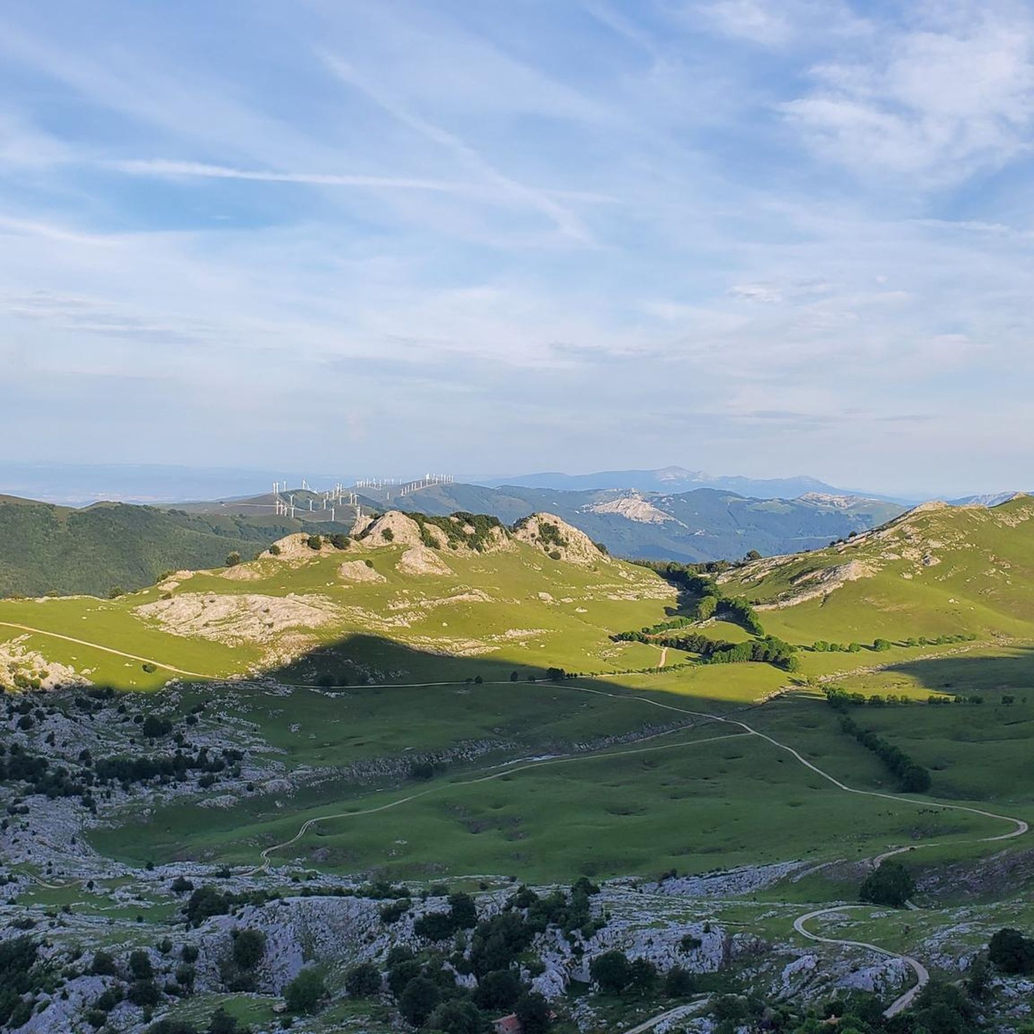
Gravel biking around Gabiria offers routes through the elevated terrain of the Goierri region, characterized by significant elevation changes and diverse landscapes. The area provides panoramic views of the Aralar and Aizkorri-Aratz mountain ranges, with mountainous backdrops like Aizeleku (812 m) and Trapalata (634 m). Gravel bike trails often traverse forested sections, including beech tree groves, and pass by water features such as reservoirs, presenting challenging and scenic routes. This varied topography includes a constant mix of ascents and descents.
…Last updated: May 18, 2026
10
riders
33.3km
02:17
750m
750m
Hard gravel ride. Very good fitness required. Mostly paved surfaces. Suitable for all skill levels.
5.0
(1)
6
riders
41.2km
03:08
890m
880m
Hard gravel ride. Very good fitness required. You may need to push your bike for some segments of this route.

Sign up for free
5.0
(1)
5
riders
43.5km
03:14
880m
880m
Hard gravel ride. Very good fitness required. You may need to push your bike for some segments of this route.
5
riders
23.5km
01:43
640m
640m
Hard gravel ride. Very good fitness required. Mostly paved surfaces. Suitable for all skill levels.
4
riders
26.2km
01:56
500m
500m
Hard gravel ride. Very good fitness required. Mostly paved surfaces. Suitable for all skill levels.
Our route recommendations are based on thousands of hikes, rides, and runs completed by other people on komoot.
Start today with a free account
Your next adventure awaits.
Login or Signup
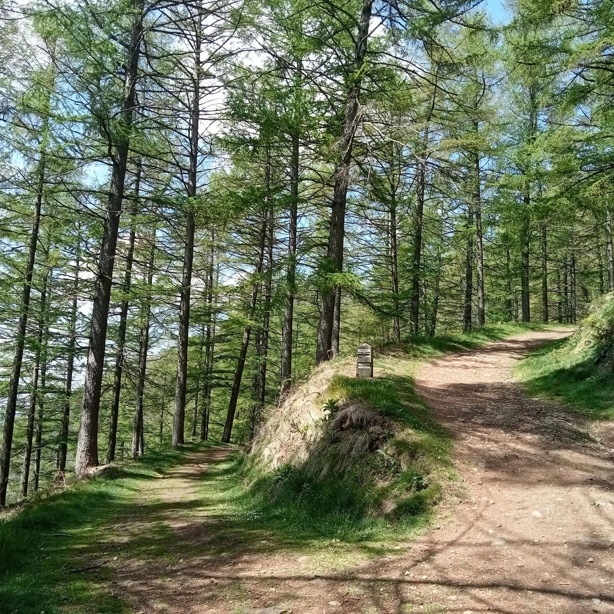
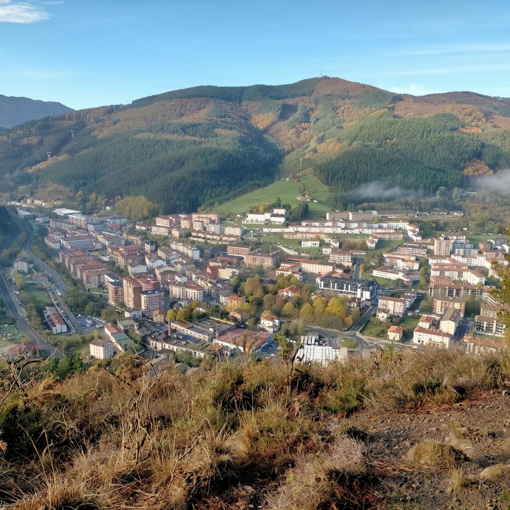
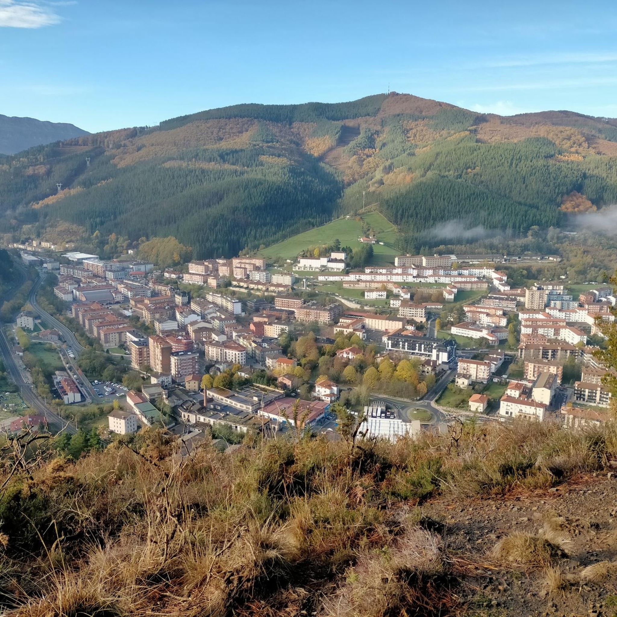
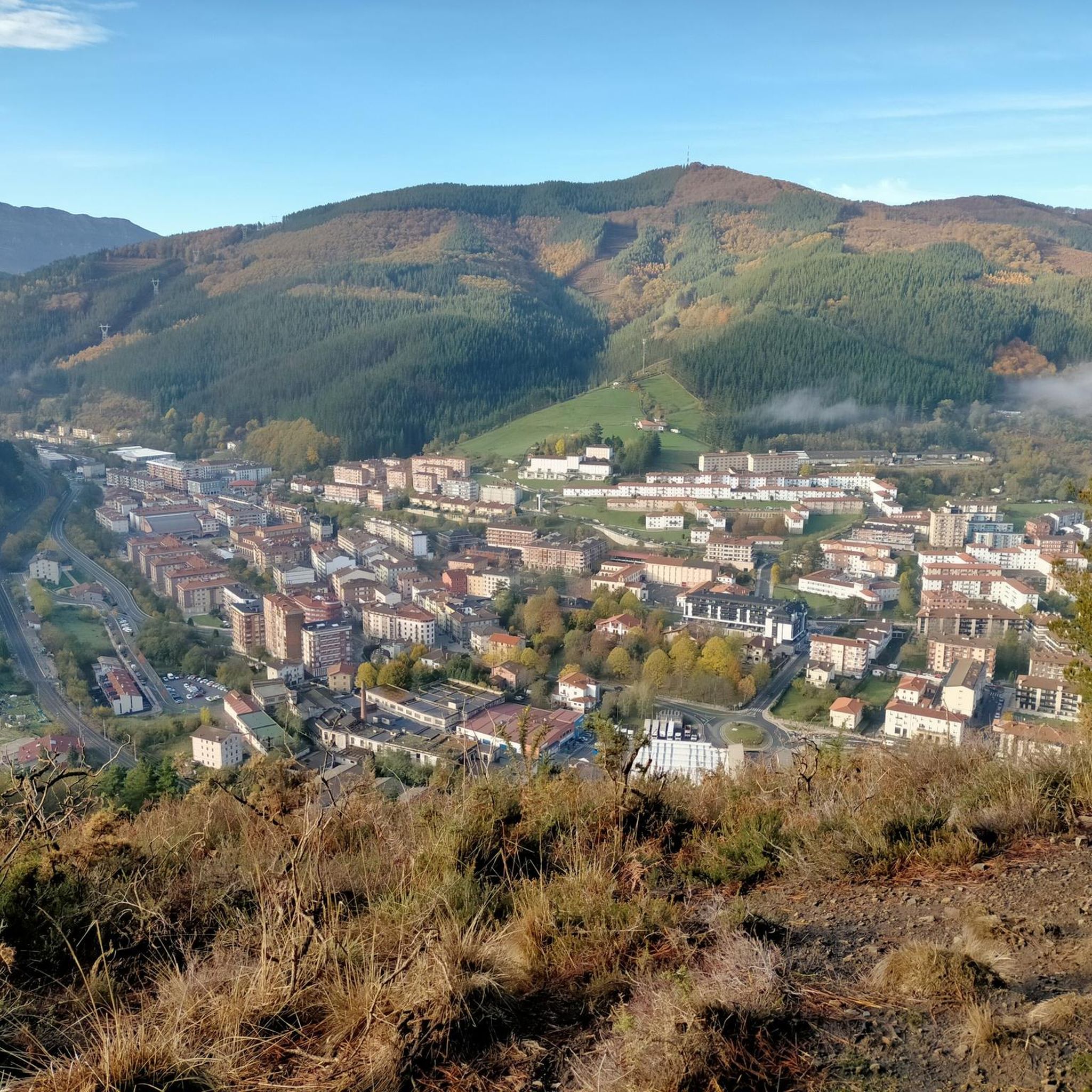
Tips from the Community

This area was a mining complex, the Mutiloa mining district, from the late 19th century. In 1911, 162 miners worked there, and in 1912, 34,500 tons of iron ore were stored and washed. After being transported by rail to Ormaiztegi, it was shipped to European steelworks. (https://www.mutiloakomeatzaritza.eus/es/la-via-verde/)
0
0
The Ormaiztegi Viaduct (inaugurated on August 15, 1864) is the town's most emblematic symbol. Designed by engineer Alexander Lavalley, a predecessor of Gustave Eiffel, it stands in a beautiful landscape overlooking the Eztanda River. It is the most important structure on the Madrid-Paris railway line, spanning 289 meters in length and 34 meters in height. Its 18,000 tons are supported by four pillars. The double track was installed in 1912 and electrified in 1928. It is currently disused and forms part of the Basque Country's cultural heritage.
0
0

Road between Antzuola and Alto de Descarga. Good asphalt and hardly any traffic.
0
0


Beautiful town nestled in the Guipuzcoan valley of Alto Urola. The name of the town comes from Basque and means 'place of the elm'. The Urola River runs through the town and separates it from the municipality of Urretxu. Zumárraga is also the end point of the Urola greenway, a cycle route that runs through a beautiful rural landscape. A destination with a lot of charm and personality.
1
0
Beautiful town nestled in the Guipuzcoan valley of Alto Urola. The name of the town comes from the Basque and means 'place of the elm'. The river Urola runs through the town and separates it from the municipality of Urretxu. Zumarraga is also the end point of the Vía Verde del Urola, a cycling route that runs through a beautiful rural landscape. A destination with a lot of charm and personality.
2
0

The climb to Gorla is a classic amateur category cycling event that takes place in Spain, in the Gipuzkoan town of Vergara. This classic is a professional nursery in the area!
0
0
Frequently Asked Questions
What kind of terrain can I expect on gravel bike trails around Gabiria?
Gravel biking around Gabiria is characterized by significant elevation changes and diverse landscapes. You'll encounter routes traversing forested sections, including picturesque beech tree groves, and passing by water features such as reservoirs. The elevated position of Gabiria offers breathtaking panoramic views of the Aralar and Aizkorri-Aratz mountain ranges, providing a visually rich and challenging experience.
Are the gravel bike routes in Gabiria suitable for beginners or families?
The gravel bike routes in Gabiria are primarily designed for experienced riders seeking challenging routes. All 11 available routes are rated as 'difficult', featuring substantial elevation gains and varied terrain. While the scenery is stunning, the physical demands mean they are generally not recommended for beginners or young families looking for an easy ride.
What are some notable natural features or landmarks I can see while gravel biking in Gabiria?
Gabiria's gravel routes offer stunning natural sights. You can experience the majestic Udana Pass Ascent, or explore areas with meadows, forests, and mountains. For those seeking impressive summits, the Aizkorri Summit (1,523 m) and Aketegi Summit are prominent natural monuments in the wider region.
Are there any circular gravel bike routes available in Gabiria?
Yes, all the gravel bike routes listed for Gabiria are circular loops. For example, you can ride the challenging Mirandaola Forge and Park – Udana Pass Ascent loop from Legazpi, or the scenic Trekutz Picnic Area – Aizpurutxo Riverside Pathway loop from Zumarraga, both offering a complete circuit back to your starting point.
What do other gravel bikers say about the routes in Gabiria?
The gravel biking routes in Gabiria are highly regarded by the komoot community, holding an average score of 5.0 stars from 2 reviews. Over 85 gravel bikers have already used komoot to explore this varied terrain, often praising the challenging nature and the rewarding panoramic views of the Aralar and Aizkorri-Aratz mountains.
What is the best time of year to go gravel biking in Gabiria?
Given Gabiria's elevated position and significant elevation changes, spring through autumn generally offers the most favorable conditions for gravel biking. During these seasons, you can best enjoy the panoramic mountain views and forested sections without the potential challenges of winter snow or ice at higher altitudes. Always check local weather conditions before heading out.
Are there any shorter gravel bike routes for a quicker ride?
The gravel bike routes around Gabiria are generally longer and more demanding. The shortest route, Trekutz Picnic Area – Aizpurutxo Riverside Pathway loop from Zumarraga, is still a difficult 20.7 miles (33.3 km) with significant climbs, taking around 2 hours 47 minutes to complete. Most routes are designed for longer, more challenging excursions.
Can you recommend a gravel bike route that includes a historic landmark?
While the routes primarily focus on natural landscapes, the region around Gabiria does have historical elements. The Ormaiztegi Viaduct – Aztiria loop from Olaberri takes you through areas that might offer glimpses of the region's heritage, such as the neighborhood of Aztiria, known for Santa Marina's basilica under beech trees, adding a cultural dimension to your ride.
What kind of elevation gains should I expect on these trails?
The gravel bike trails around Gabiria feature considerable elevation gains, reflecting the region's mountainous terrain. For instance, the Vasco-Navarro Greenway – Azua Footbridge loop from Oñati involves nearly 1,000 meters (3,280 feet) of ascent, making for a challenging and rewarding climb through diverse landscapes.
Are there any routes that offer particularly good viewpoints?
Many routes in Gabiria offer excellent viewpoints due to the region's elevated nature. The area is known for providing amazing panoramic landscapes from the Aralar and Aizkorri-Aratz mountains. While not a specific route, the Udana Pass Ascent is a highlight known for its scenic vistas, often incorporated into longer loops like the Mirandaola Forge and Park – Udana Pass Ascent loop from Legazpi.
How many gravel bike routes are available in the Gabiria area?
There are 11 distinct gravel bike routes available around Gabiria, all of which are rated as difficult. These routes offer a variety of challenging experiences through the region's diverse landscapes and elevated terrain.
Most popular attractions around Gabiria

Get inspired with the komoot mobile app


Explore more
Browse the best Gravel rides in other regions.
