The best walks and hikes around Estremera
4.5
(7)
37
hikers
9
hikes
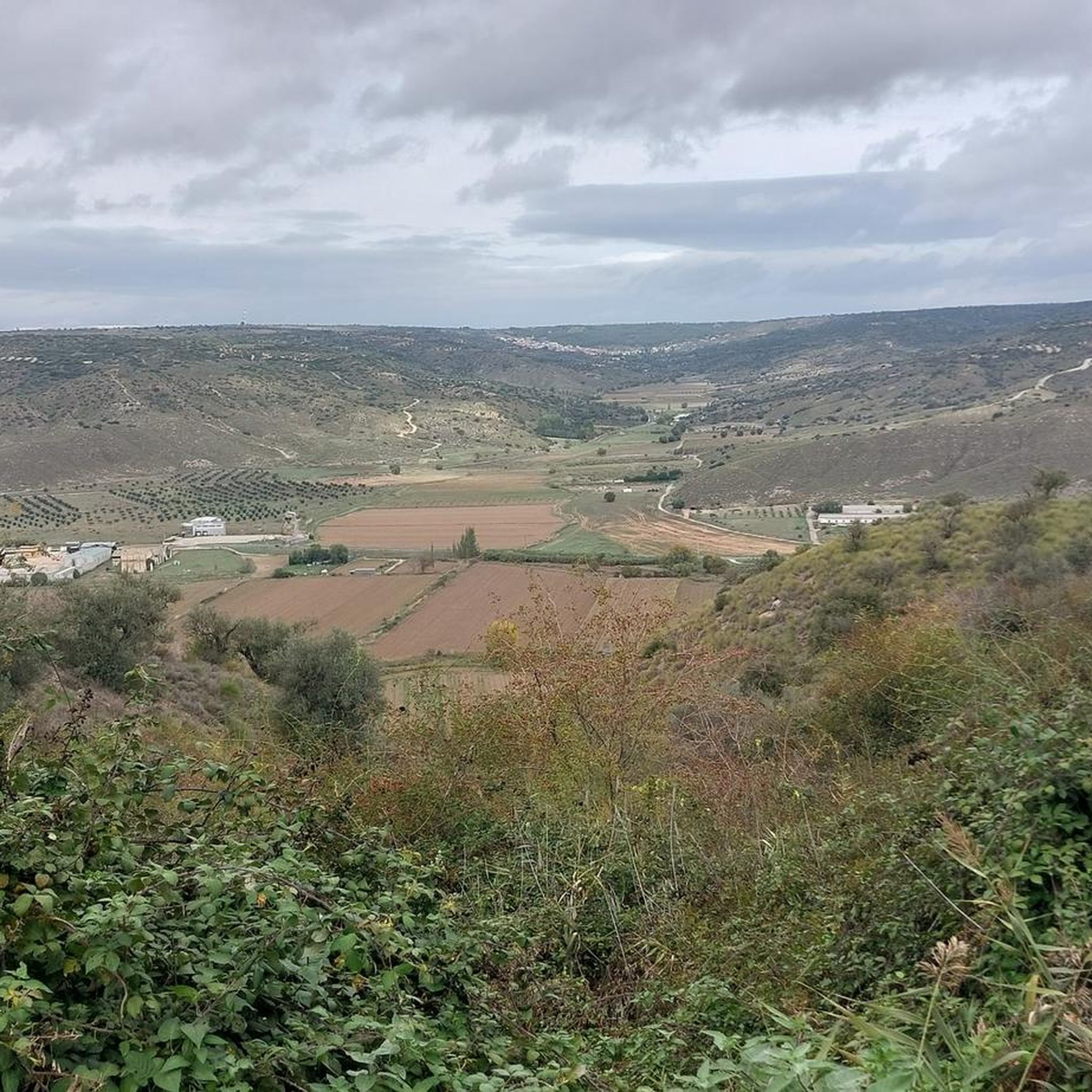
Hiking around Estremera offers diverse landscapes, characterized by a mix of agricultural lands, river plains, and moorlands. The Tagus River flows through the region, creating verdant plains that contrast with the surrounding terrain. This area is part of the Southeast Regional Park and the Natura 2000 Network, indicating its ecological value. The varied topography provides a range of hiking experiences for different abilities.
Best hiking trails around Estremera
- The most popular hiking route is Picturesque bridge – Pine Forest Trail…
Last updated: July 27, 2026
5.0
(1)
8
hikers
11.2km
02:58
80m
80m
Moderate hike. Good fitness required. Easily-accessible paths. Suitable for all skill levels.
5.0
(1)
6
hikers
8.68km
02:15
30m
30m
Moderate hike. Good fitness required. Easily-accessible paths. Suitable for all skill levels.

Sign up for free
3
hikers
5.29km
01:27
80m
80m
Easy hike. Great for any fitness level. Easily-accessible paths. Suitable for all skill levels.
5
hikers
7.77km
02:05
80m
80m
Moderate hike. Good fitness required. Easily-accessible paths. Suitable for all skill levels.
3.0
(2)
3
hikers
6.87km
02:03
210m
210m
Moderate hike. Good fitness required. Easily-accessible paths. Suitable for all skill levels.
Get access to more routes and recommendations from other explorers.
Sign up for free
Already have an account?
Our route recommendations are based on thousands of hikes, rides, and runs completed by other people on komoot.
Start today with a free account
Your next adventure awaits.
Login or Signup

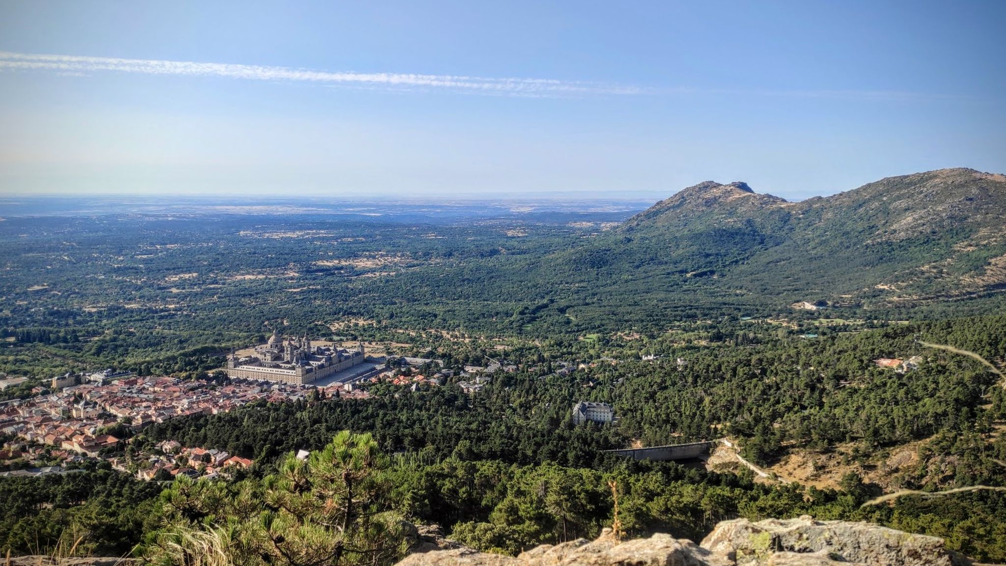
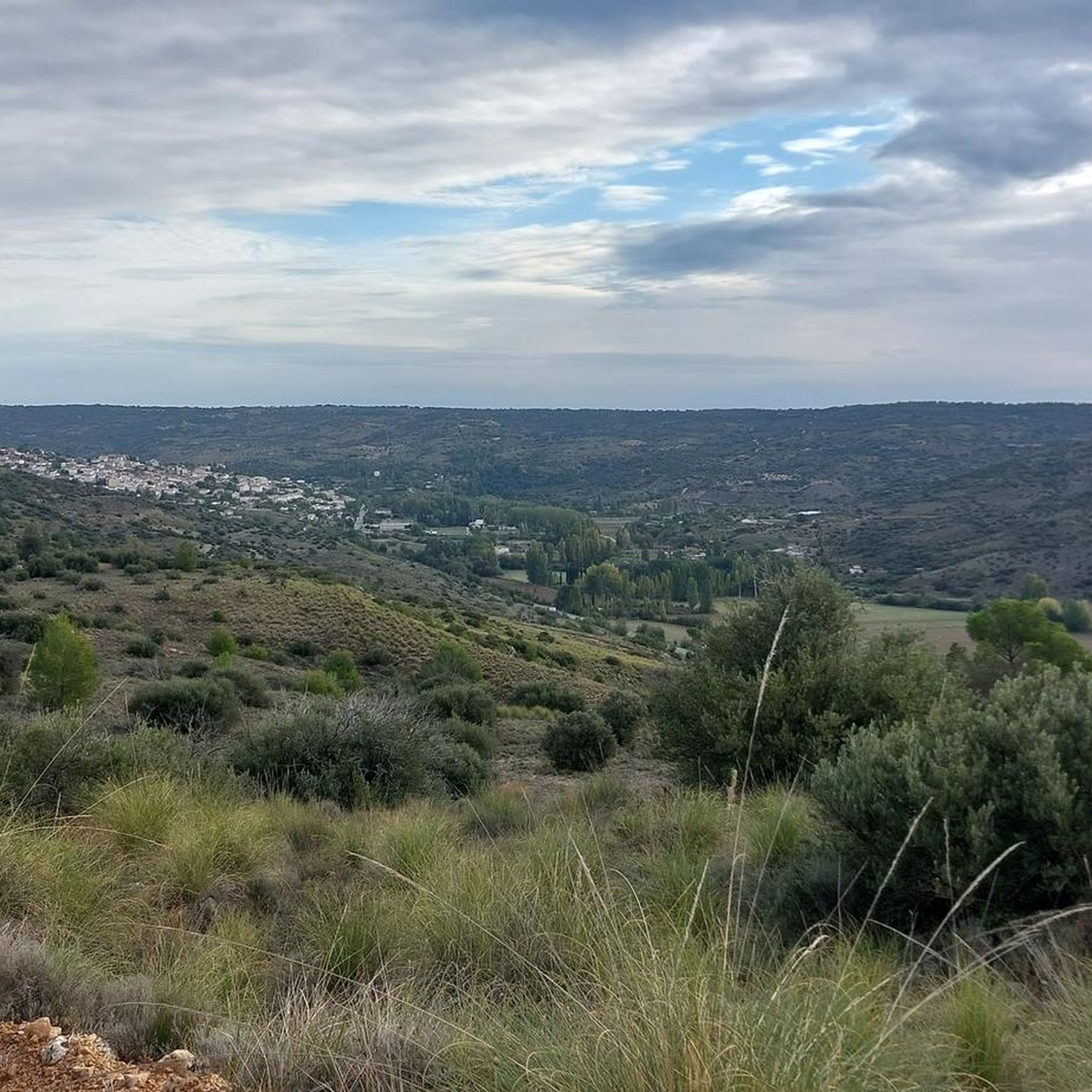
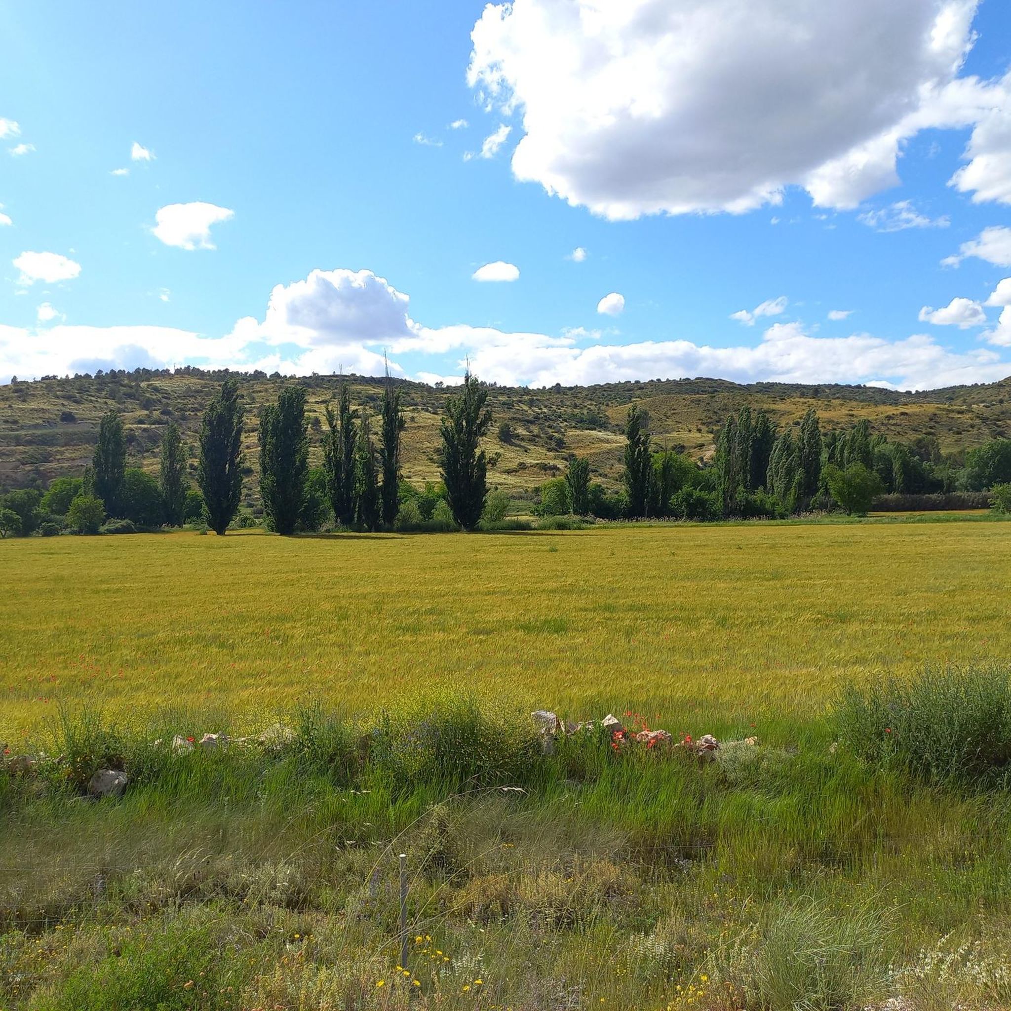


Tips from the Community

The landscapes from Ambite to Mondejar are worth seeing.
0
0

Flat and accessible route that follows the old railway line between Arganda del Rey and Ambite, ideal for e-bikes, amidst fields, charming villages, and illuminated tunnels.
0
0

Easy and comfortable route along this old railway line
0
0

Railway tunnels and trenches are impressive constructions due to their design and effectiveness in facilitating the passage of trains on steep terrain, maintaining a gentle and accessible slope in complicated areas with elevated terrain or to reduce the acoustic and visual impact in places of high environmental value.
0
0
The Pinar del Parque Forestal de Carabaña is a large forest of Aleppo pine on the slopes of the Huevo Rodado ravine, an essential forest lung in the Tajuña river basin and a pleasant space for walking and recreation for the inhabitants of Carabaña.
0
0
The section of the Tajuña Green Route in La Marañana de Carabaña runs along the old Vereda de Tielmes, now known as Camino de Vaciabotas. The Arganda railway ran along the opposite bank, where the Chávarri Central station is located. In the current section of the Green Route you can visit the historic Puente del Palo, of Roman origin, old mills and several dams and waterholes, one of them known as the Tajuña waterfall.
0
0
Vaciabotas Dam This is the dam or weir where the Caz del Molino takes its water from the Tajuña River. It is also known as the Azud del Molino and is one of the irrigation channels of the Madrid plain. The dam's waterfall is next to the old Molino Nuevo or Molino de la Isla, which is privately owned and documented in the Topographic Relations of Felipe II. The riverbank is a cool environment of giant trees and riverside vegetation. The irrigation channel and the course of the Tajuña are separated by the dam and until they meet again at the Puente del Palo they form the island that gives the place its name. In the area of Tielmes there are the Presón weirs, the Presa del Marqués and the Cantarranas Molino waterfall, all of Islamic origin.
1
0
In the 16th century it was an important flour mill and fulling mill in the municipality of Orusco. A century later it was transformed into a paper factory to meet the needs of modern society at the time. Now it is a carpet factory but the original weir, the waterfall, the grove and the traditional irrigation channels used in the Tajuña plain for centuries have been preserved.
0
0
Frequently Asked Questions
How many hiking trails are available around Estremera?
There are over 7 hiking routes available around Estremera, catering to various preferences and skill levels. These trails offer a mix of agricultural lands, river plains, and moorlands, providing diverse scenery for your outdoor adventures.
Are there any easy hiking trails suitable for beginners in Estremera?
Yes, Estremera offers easy trails perfect for beginners. One such option is the Ascent to Cabeza Gorda loop from Tarancón, an easy 3.4 miles (5.5 km) path that includes an ascent to a local hill, offering panoramic views without significant challenge.
What kind of landscapes can I expect to see while hiking in Estremera?
Hiking in Estremera will immerse you in diverse landscapes. You'll encounter verdant river plains along the Tagus River, contrasting with extensive agricultural lands and the golden hues of surrounding moorlands. The area is part of the Southeast Regional Park and the Natura 2000 Network, highlighting its ecological value.
Are there any circular hiking routes in the Estremera area?
Yes, many routes around Estremera are designed as loops, allowing you to start and end at the same point. For example, the Hiking loop from Carabaña is a 4.3 miles (6.9 km) trail that takes you through agricultural lands and riverine areas, typically completed in about 2 hours.
What are some interesting natural landmarks or attractions to see along the trails?
The region boasts several natural attractions. You can explore areas like the Alcarrias of the Tajo: Gypsum, Marl, and Esparto, or visit Peña Bermeja. For those interested in unique geological features, the Cueva de la Sima is also nearby.
Are there any historical routes or greenways in Estremera?
Yes, Estremera is home to historical routes. The Ruta del Tren de los 40 Días, also known as the Negrín, traces an old railway line built in 1936, now serving as a peaceful greenway. You can also find the Junction of the Tajuña Greenway and the Tren de los 40 Días Greenway, offering a glimpse into the region's past.
Are there any trails that feature bridges or unique architectural elements?
Yes, some trails incorporate interesting structures. The Picturesque bridge – Pine Forest Trail loop from Orusco de Tajuña features views of a charming bridge. Additionally, you might encounter the Picturesque bridge itself or the Iron Bridge of Fuentidueña de Tajo in the wider area.
What do other hikers say about the trails in Estremera?
The trails in Estremera are highly rated by the komoot community, with an average score of 4.5 stars from more than 5 reviews. Hikers often praise the varied terrain and the opportunities to explore both riverine and agricultural landscapes.
Are there any trails that follow traditional paths or ancient routes?
Yes, the Ruta de las Cañadas utilizes the historical Cañada Real Soriana Oriental, a traditional livestock trail. This route offers a journey through diverse landscapes, including farmlands and moorlands, over approximately 24 kilometers, connecting you with centuries of history.
Can I find trails that lead to viewpoints or offer panoramic vistas?
Absolutely. Many trails in the region offer opportunities for scenic views. For instance, the Ascent to Cabeza Gorda loop from Tarancón includes an ascent to a local hill that provides panoramic views of the surrounding countryside. You can also find the Monte Quiebrahilos Summit for elevated perspectives.
Are there any trails near the Tagus River or with water features?
The Tagus River flows through Estremera, creating verdant plains and offering unique attractions. You can find trails that run alongside the river, and the area is known for Los Villares beach, one of the few inland bathing areas along the Tagus in Madrid, perfect for cooling off after a hike.
Are there any longer, more moderate hikes available?
Yes, for those seeking a more moderate challenge, routes like the Old Tajuña Railway Station loop from Orusco de Tajuña offer a good option. This trail covers about 12.9 kilometers and takes around 3.5 hours to complete, providing a rewarding experience through varied terrain.
Most popular attractions around Estremera

Get inspired with the komoot mobile app


Explore more
Browse the best Hikes in other regions.
