The best running trails around Sorihuela Del Guadalimar
20
runners
4
runs
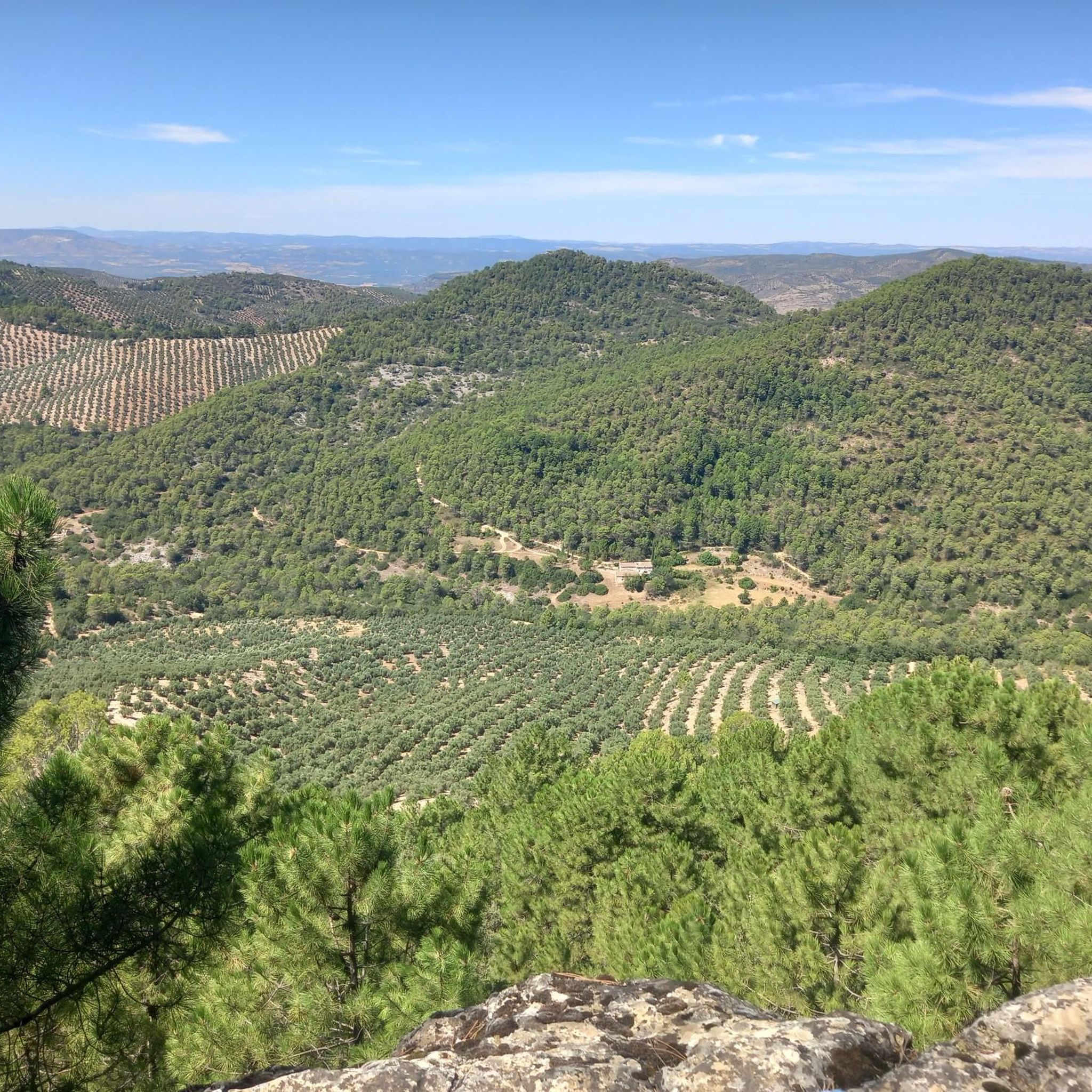
Jogging around Sorihuela Del Guadalimar offers a variety of routes through a landscape characterized by hills and varied terrain. The region features a mix of natural areas and paths connecting local points of interest. Runners can expect elevation changes and diverse scenery across the available routes.
Best jogging routes around Sorihuela Del Guadalimar
- The most popular jogging route is Alto del Montero Circular Trail, an 11.3 miles (18.3 km) trail that takes about 2 hours 4 minutes to complete.…
Last updated: May 9, 2026
18.3km
02:04
370m
370m
Alto del Montero Circular Trail is a difficult 11.3-mile (18.3 km) jogging route in Sierras de Cazorla, Segura y Las Villas Natural Park.
6
runners
17.8km
02:13
610m
610m
Hard run. Very good fitness required. Mostly paved surfaces. Suitable for all skill levels.

Sign up for free
9
runners
23.7km
02:47
450m
450m
Hard run. Very good fitness required. Mostly paved surfaces. Suitable for all skill levels.
6
runners
16.8km
01:59
530m
530m
Hard run. Very good fitness required. Mostly paved surfaces. Suitable for all skill levels.
Our route recommendations are based on thousands of hikes, rides, and runs completed by other people on komoot.
Start today with a free account
Your next adventure awaits.
Login or Signup

Other adventures around Sorihuela Del Guadalimar

Tips from the Community

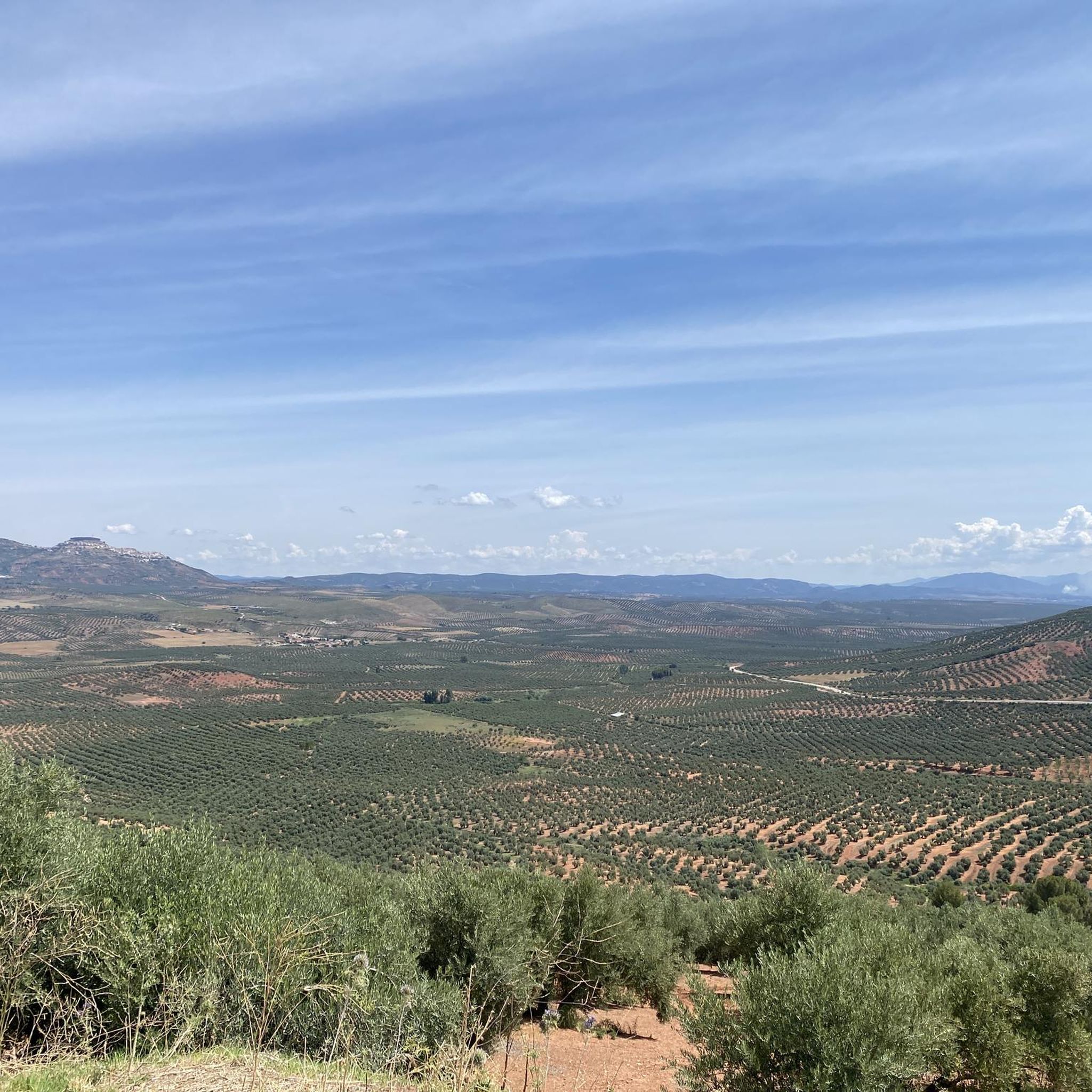
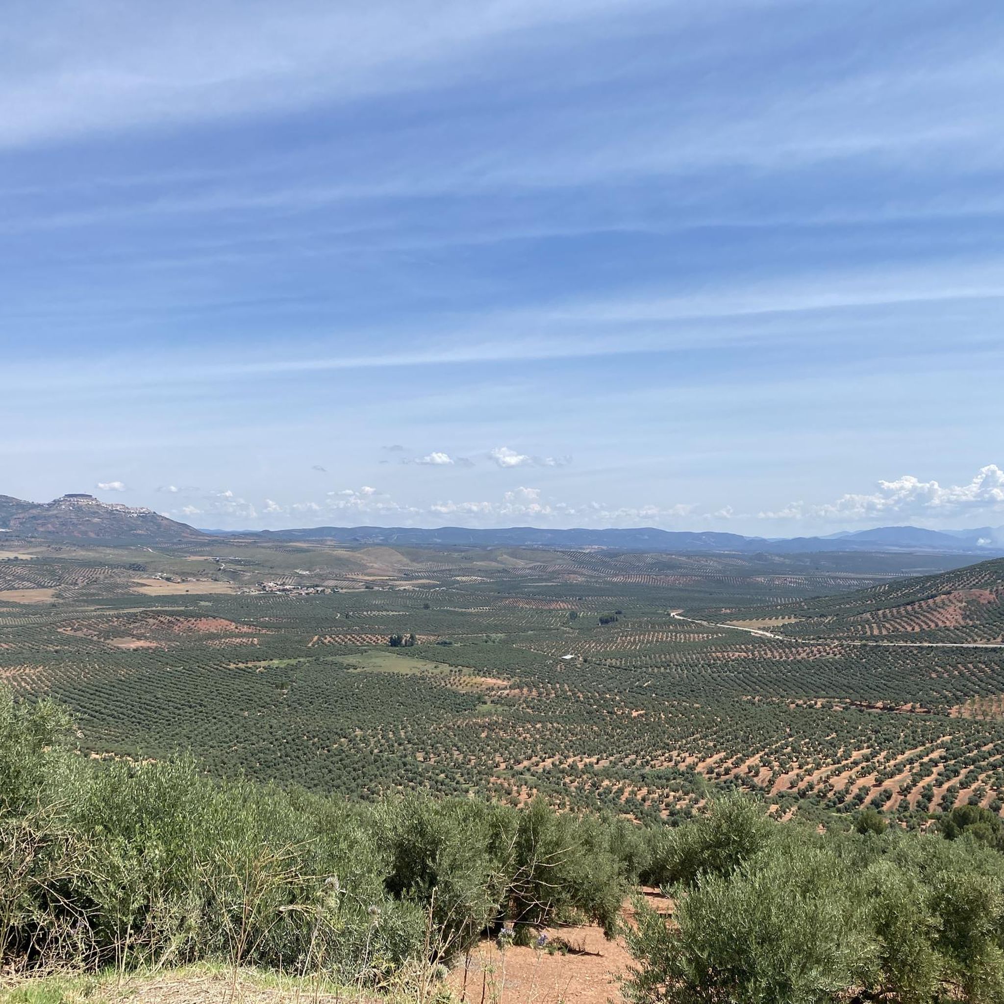
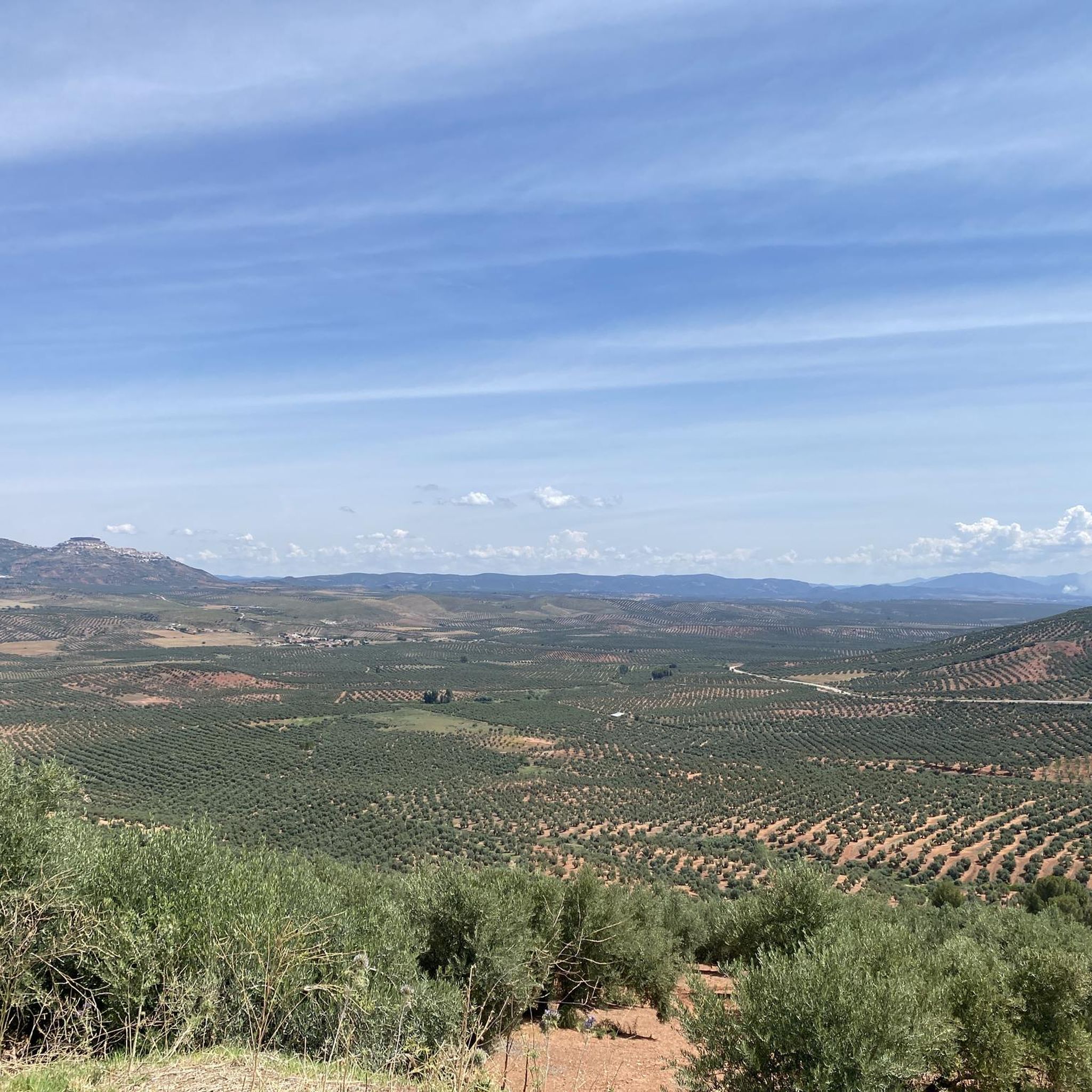
This charming town belongs to the Sierra del Segura region. It is surrounded by hills full of olive groves. Many consider this town the door to the mountains, since it is the starting point of several hiking trails.
0
0

El Guijarrón (1273 meters) is an incredible natural balcony with spectacular views of the El Tranco reservoir. Surely you will find a mountain goat there or a vulture flying over the sky! At the top there is also a fire watch house that can be used as a shelter (except in the fire season).
0
0
The Tranco reservoir is one of the largest in Spain. Before its construction, this place was full of farmhouses and villages full of life that no longer exist today. When the reservoir is practically empty, the Bujarcadí tower appears. The castle of the old manor of Bujaraiza does always remain above the water.
1
0

Small town located on the A-6301 road that crosses the town between Sierra Morena and Sierra de Segura. The area is the largest protected natural space in Spain.
1
0
The Tranco de Beas reservoir collects the waters of the Guadalquivir river in the Sierra de Segura. The path follows the shoreline of the reservoir, giving you spectacular views of the surroundings.
1
0

Summit of 1270m located on the periphery of the Pantano del Trancolas reservoir. It offers peripheral views of the Sierra de las Lagunillas or the Monteagudo hill among other places.
1
0
This town is located in Jaén, in the autonomous community of Andalusia. Its municipal term belongs entirely to the natural park of the Sierra de Cazorla, Segura and Las Villas.
1
0
Panoramic views of the Tranco de Beas reservoir and its homonymous dam. You can also see views of the hills that surround this reservoir along the way.
2
0
Frequently Asked Questions
How many running routes are available in Sorihuela Del Guadalimar?
There are currently 5 curated running routes around Sorihuela Del Guadalimar on komoot, offering a range of experiences from moderate to difficult.
Are there any easy or beginner-friendly jogging routes in Sorihuela Del Guadalimar?
The routes in Sorihuela Del Guadalimar tend to feature hilly terrain and elevation changes. While there are no routes classified as 'easy', the Fuente 8 Puntas loop from Antigua Estacion de tren is rated as moderate and is the least challenging option, covering 5.6 miles (9.1 km).
What kind of terrain can I expect on the running trails in this region?
Jogging around Sorihuela Del Guadalimar is characterized by its hilly terrain and natural landscapes. You'll encounter varied surfaces and elevation changes, providing a good workout amidst scenic surroundings.
Are there any long-distance running trails for experienced runners?
Yes, for those seeking a challenge, routes like the Hornos de Segura – Hornos Viewpoint loop from Tranco offer a substantial distance of 15.6 miles (25.1 km) with significant elevation, making it suitable for experienced trail runners.
Are there any circular running routes in Sorihuela Del Guadalimar?
Many of the routes in the area are circular, allowing you to start and finish at the same point. Examples include the Alto del Montero Circular Trail and the Beas de Segura – Beas de Segura loop from Beas de Segura.
What are some scenic points of interest I might see while running?
The region offers natural beauty, including several lakes and reservoirs. You might encounter highlights such as Charco del Aceite or the Tranco de Beas Reservoir. The routes also pass through natural areas and connect local features.
When is the best time of year to go jogging in Sorihuela Del Guadalimar?
The best times for jogging in Sorihuela Del Guadalimar are typically spring and autumn. The summers can be very hot in this part of Andalusia, while winters are generally mild, though some higher elevation trails might be cooler.
Are there any routes that pass by specific landmarks or towns?
Yes, some routes explore the areas around local towns and points of interest. For example, the Beas de Segura – Beas de Segura loop from Beas de Segura explores the varied landscapes surrounding the town of Beas de Segura.
Are there any running routes that offer views of water bodies?
Yes, the area is known for its lakes and reservoirs. While specific routes aren't solely dedicated to waterfalls, you can find trails near the Tranco reservoir, offering scenic views of the water.
What do other runners say about the trails in Sorihuela Del Guadalimar?
More than 20 runners have used komoot to explore Sorihuela Del Guadalimar's varied terrain. They often praise the challenging nature of the routes and the expansive views offered by the hilly landscape.
Are there any routes suitable for families or those looking for a less strenuous run?
While most routes are rated moderate to difficult, the Fuente 8 Puntas loop from Antigua Estacion de tren is a moderate 5.6-mile (9.1 km) trail that might be more manageable for families or those preferring a less intense experience, though it still involves some elevation.
Can I find routes with parking readily available?
Many routes in the region, especially those starting from towns or popular natural areas, typically have parking options nearby. It's always recommended to check the specific route details on komoot for parking information at the trailhead.
Most popular routes around Sorihuela Del Guadalimar
Most popular attractions around Sorihuela Del Guadalimar

Get inspired with the komoot mobile app


Explore more
Browse the best Running Trails & Routes in other regions.
